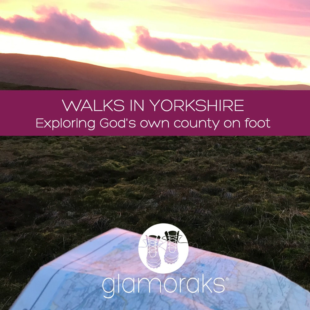
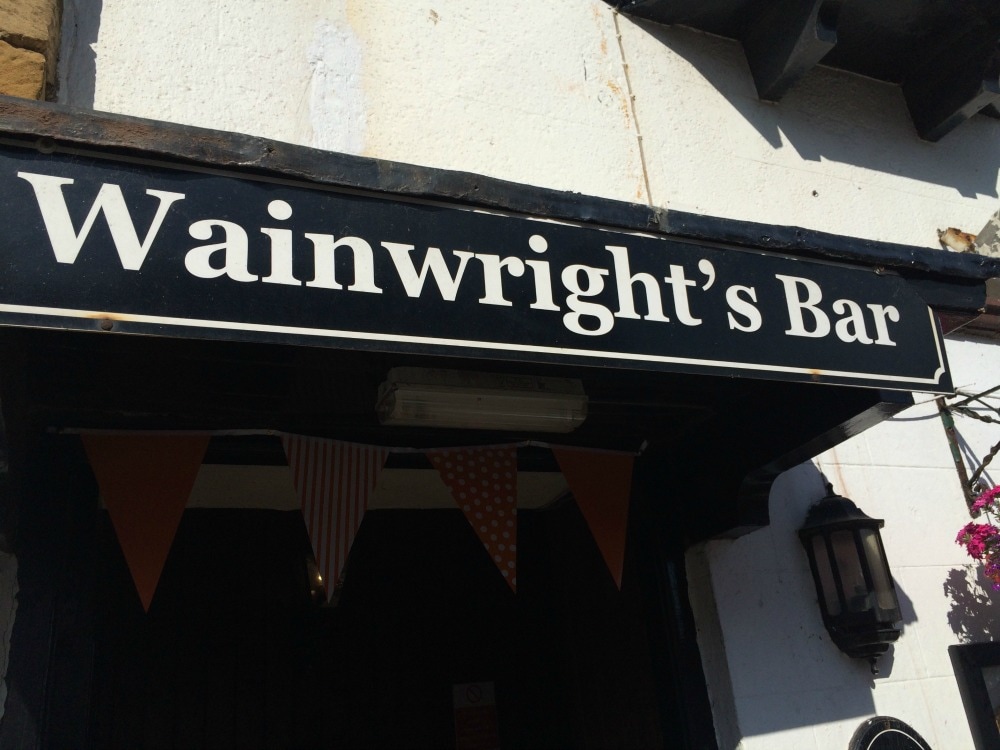
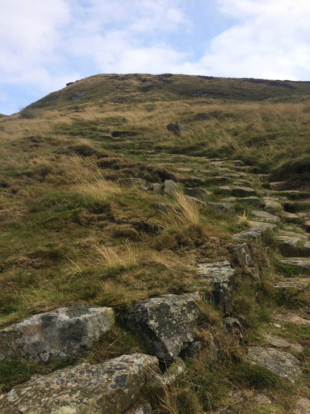
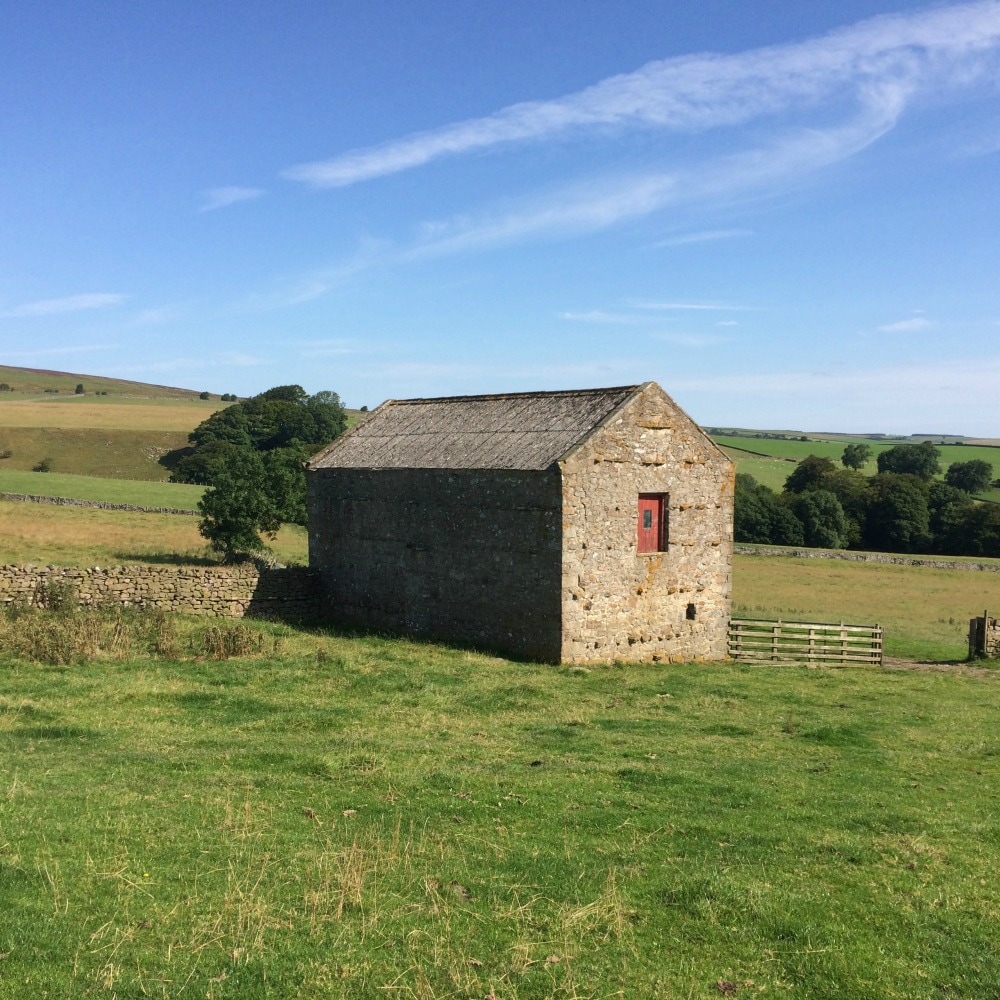
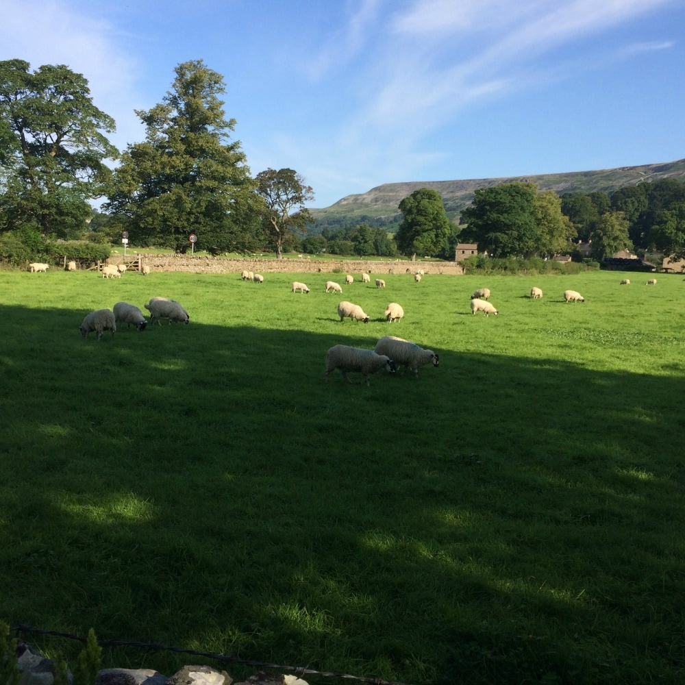
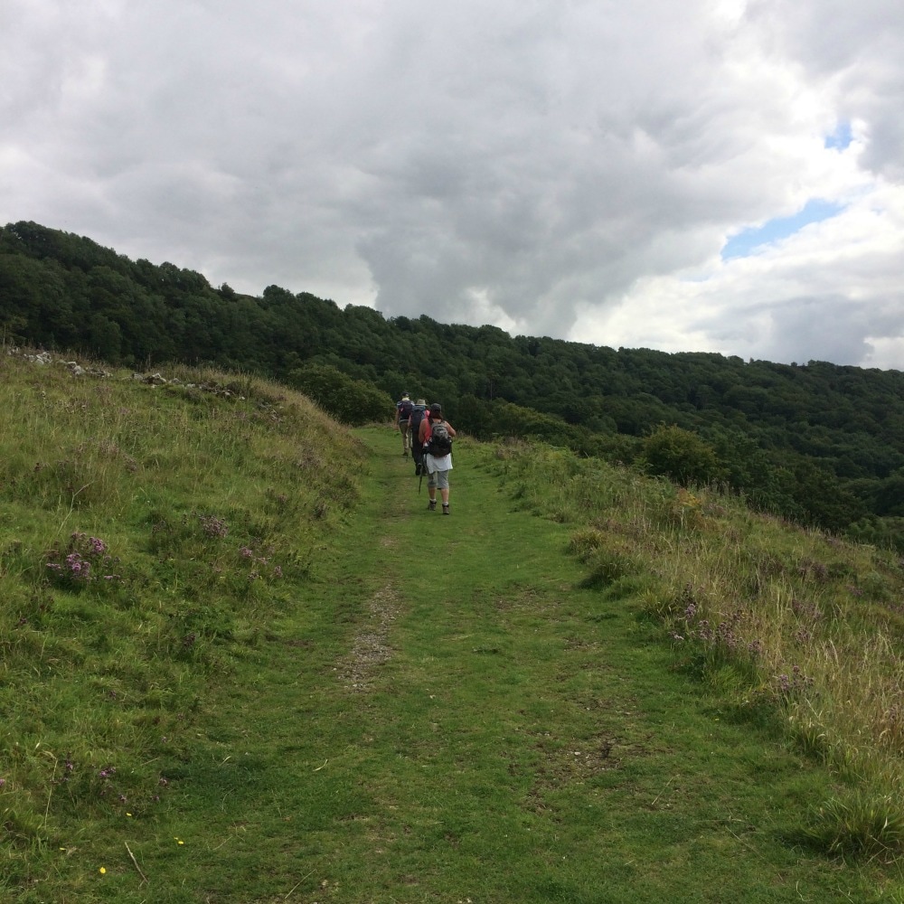
 1 August is Yorkshire Day. To celebrate the splendour of God's own county, here is a round up of some of the walks I'd recommend you do in Yorkshire. We are absolutely spoilt for choice with so many exceptional places to walk that this list is by no means conclusive. It doesn't include some of the more famous routes like the Cleveland Way, Dales Way, Wolds Way, the Pennine Way, Lady Anne's Way, the Ribble Way or the Herriot Way. Frankly, there are so many splendid walks to choose from, your biggest challenge is going to be finding the time to do them all. So whether you're looking for a city walk, an urban stroll, a multi-day hike, a coastal caper or a good long stomp in the wilds of the moors or dales or Northern Peak, you are sorted. RIVERSIDE WALKS1. Beningbrough to York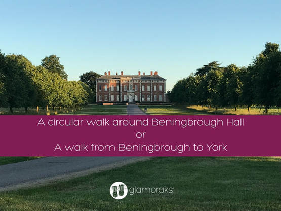 Close to York yet completely rural in feel, this is either a short 3-miler along the river, doing a circuit around Beningbrough Hall. Or make it longer and walk 8 miles from Beningbrough all the way along the river Ouse into York City Centre. Details here. 2. York Minster to Sheriff Hutton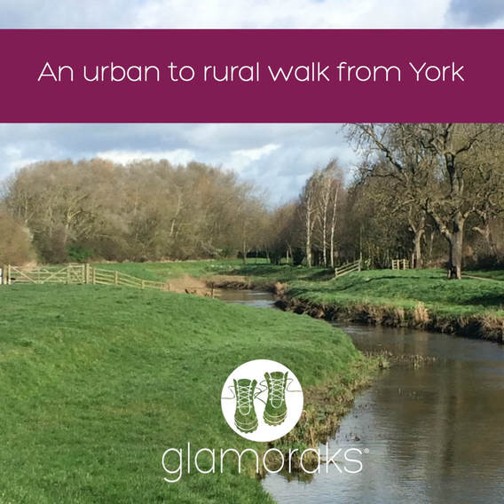 This is the first part of the centenary way, a multi-day walk running from York to Filey. But it's a great way to explore the surrounding York countryside starting right in the heart of town. Follow the river Foss out and either stop in Strensall or continue on to Sheriff Hutton. Details here. 3. Stamford Bridge circular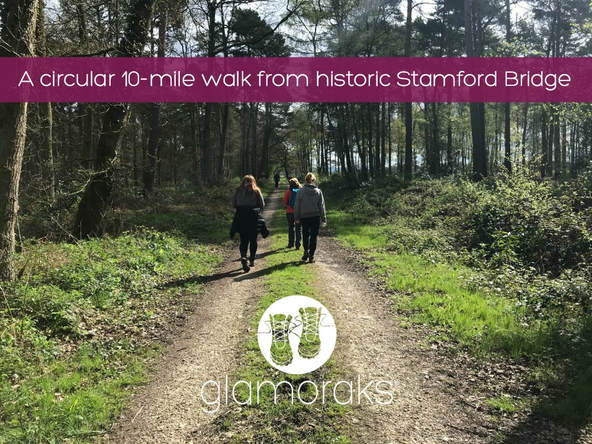 Stamford Bridge is a village in the East Riding of Yorkshire. With a pretty centre and plenty of history, this is a flat, circular walk that takes in the river Derwent. Details here. 4. Kirkham Priory to Howsham Mill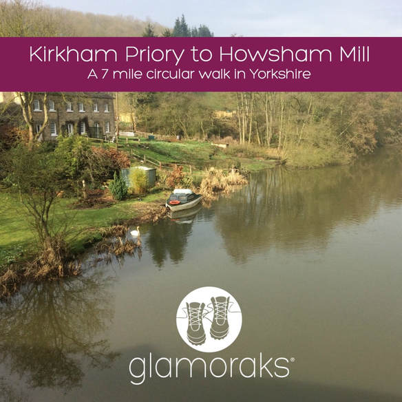 Another walk along the Derwent, this is a pretty circular walk that takes in the ruins of Kirkham Priory and the delightful Howsham Mill. Details here. COASTAL WALKS1. Whitby heading South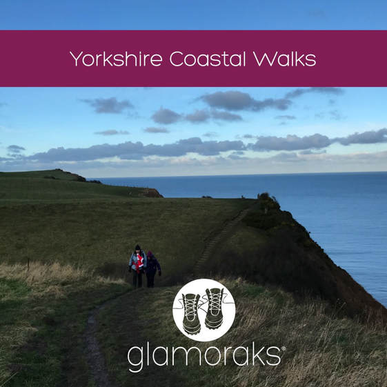 From Saltburn to Bridlington, the Yorkshire coast is a gem for walkers. One of the most popular stretches if you fancy making a weekend of it is to head from Whitby to Robin Hood's Bay and back again. It's roughly 6 or 7 miles each way, depending on where you start. But you can also start further north from Sandsend and end at Boggle Hole, just after Robin Hood's Bay, spend the night and head home the next day. Or try starting at Whitby, walk to Ravenscar, return and stay at Boggle Hole or Robin Hood's Bay and return the next day. Details of these walks can be found here and here. 2. Scarborough to Filey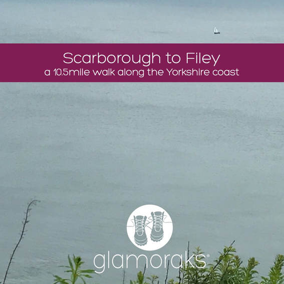 Walk the final stage of the Cleveland Way as you leave the bustle of Scarborough behind, hugging the coast until you reach Filey Brigg. It's roughly 10 miles of gorgeous walking. Details here. 3. Bridlington to Bempton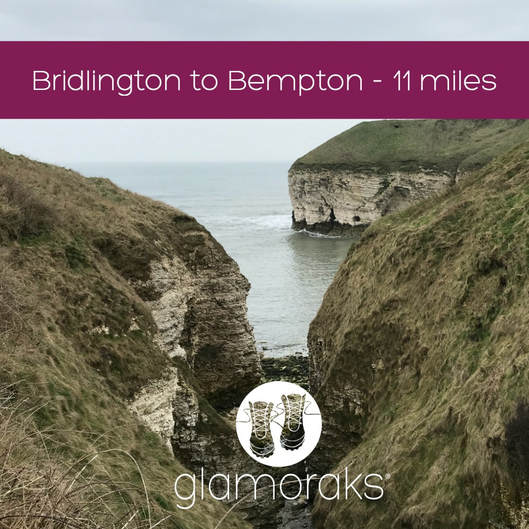 If you're a bird watcher, this is the walk for you. It takes in the incredible Flamborough Head, many beaches and RSPB bird watching platforms to get up to close to the myriad of sea birds that nest along this stretch of coast. Details here. 4. A wild camp on a coastal path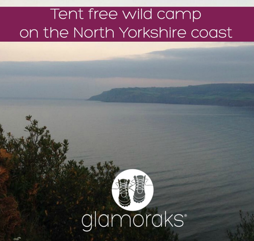 This is just a short walk of no more than a couple of miles, depending where you choose to stop, but if you fancy a bit of an adventure, try heading out from Robin Hood's Bay and sleeping under the stars along the coastal path. Just be sure to leave no trace and don't sleep too close to the cliff edge. Details here. NORTH YORKSHIRE MOORS1. Rosedale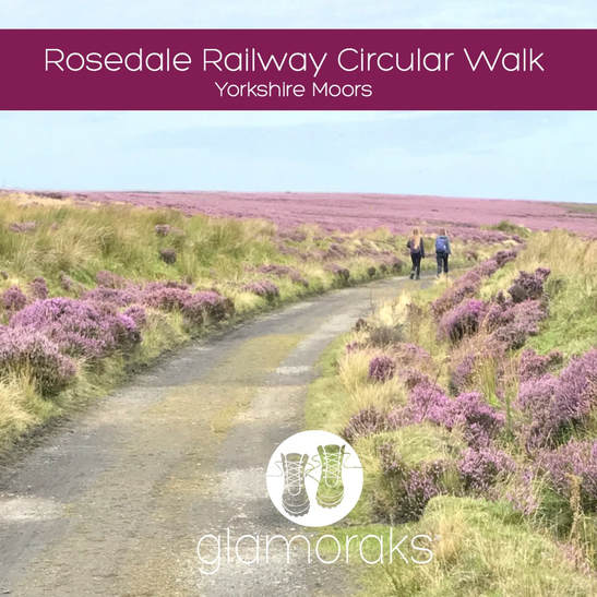 A gorgeous valley and open moorland that can be done in a circuit of different lengths depending on your stamina. They take in the old mine buildings that dot the path. Details here. 2. The Hole of Horcum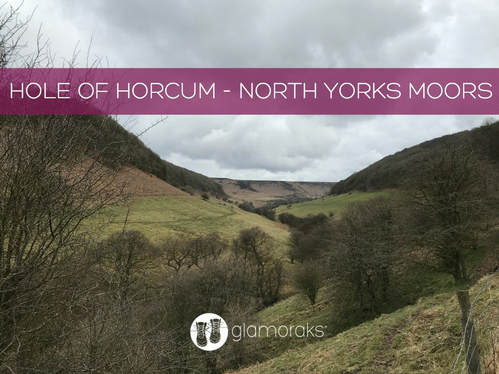 This is a stunning 7 mile walk in one of the North Yorkshire Moors most famous viewing spots. The Hole of Horcum is a giant punchbowl that includes walking along the moorland tops and in the valley, with a lovely pub midway. Details here. 3. Upper Riccal Dale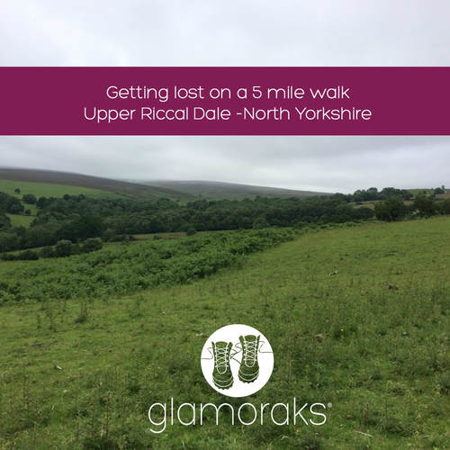 This a short 5 mile walk just north of Helmsley, that takes in the gentle agricultural side of the moors, but with some great views from the top of the ridge. Details here. 4. Helmsley to Rievaulx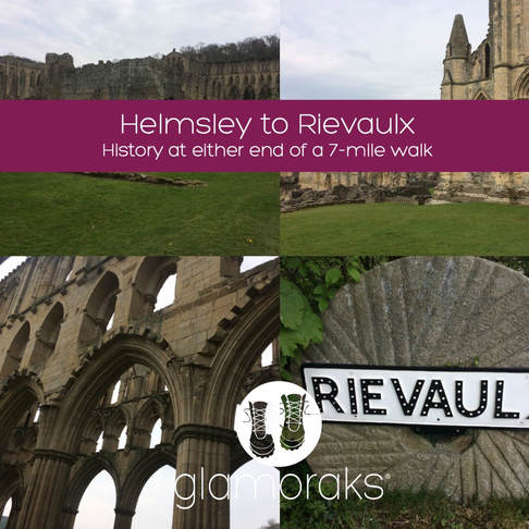 This is a glorious 7-mile walk from Helmsley to Rievaulx and back again. It is actually stage 1 of the Cleveland way and is bookended with Helmsley castle and the ruins of Rievaulx Abbey. Plenty of lovely tea shops to choose from too. Details here. 5. Wild camping in the North Yorkshire Moors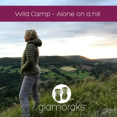 While not strictly allowed, if you are sensible, leave no trace and don't start fires, a wild camp on the moors is a lovely way to experience the peace and splendour they afford. Here are two wild camps (locations not revealed) to give a flavour of it. How far you want to walk to reach your camp spot is up to you. Wild camp 1 Wild camp 2 THE YORKSHIRE BITS OF THE COAST TO COAST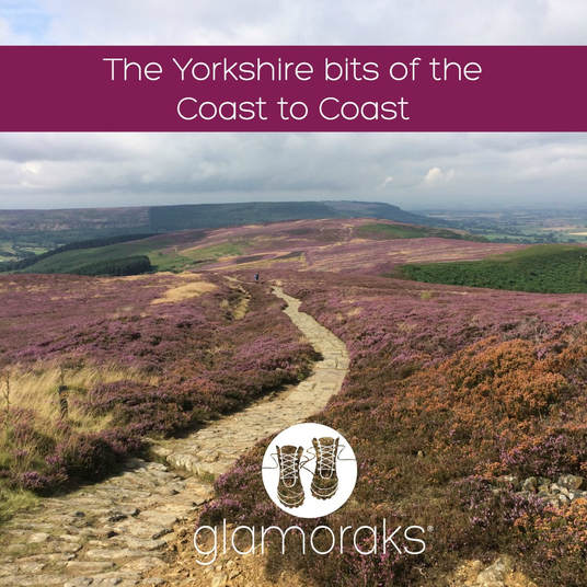 The coast to coast is a 192-mile path running from St Bees in Cumbria through to Robin Hood's Bay in Yorkshire. The Yorkshire section starts once you cross the Pennines after leaving Kirkby Stephen and takes in some magnificent stretches of the Yorkshire Dales, North Yorks Moors and the Yorkshire Coast. You don't have to do the whole thing - just pick one or two of these stretches for a day or two of gorgeous walking. Note: the bit from Richmond to Danby Wiske and Danby Wiske to Ingleby Arncliff are probably the least exciting. I've included them in case you'd like to do the full Yorkshire stretch but I wouldn't pick them for a day walk. Kirkby Stephen to Keld Keld to Reeth Reeth to Richmond Richmond to Danby Wiske Danby Wiske to Ingley Arncliff Ingleby Arncliff to Blakey Ridge Blakey Ridge to Grosmont Grosmont to Robin Hood's Bay YORKSHIRE DALES1. Malham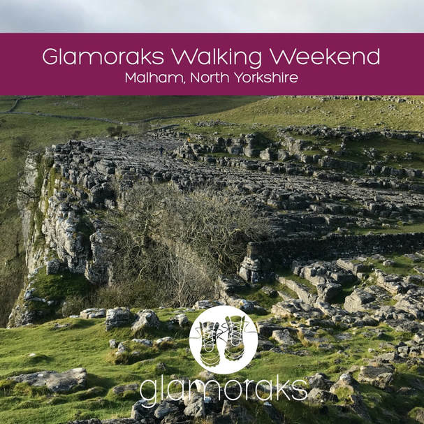 Malham is a jaw-droppingly beautiful bit of the Yorkshire Dales with a number of walks you can do regardless of your fitness. A gentle stroll to see Gordale Scar and Janet's Foss; something a bit more taxing as you climb to the top of Malham Cove to see the stone pavement of clints and grikes; or even further up to Malham Tarn. Details here. 2. The Yorkshire Three Peaks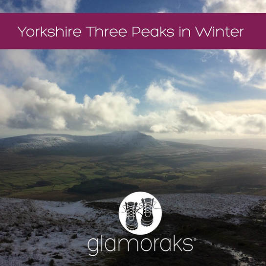 Many people take on the famous Yorkshire Three Peaks of Pen y Ghent, Whernside and Ingleborough as a 12 hour challenge. But you don't have to charge your way around. You can pick them off one at a time or two them over two days. This is the scenery that will take your breath away. Details here. YORKSHIRE BIT OF THE PEAK DISTRICT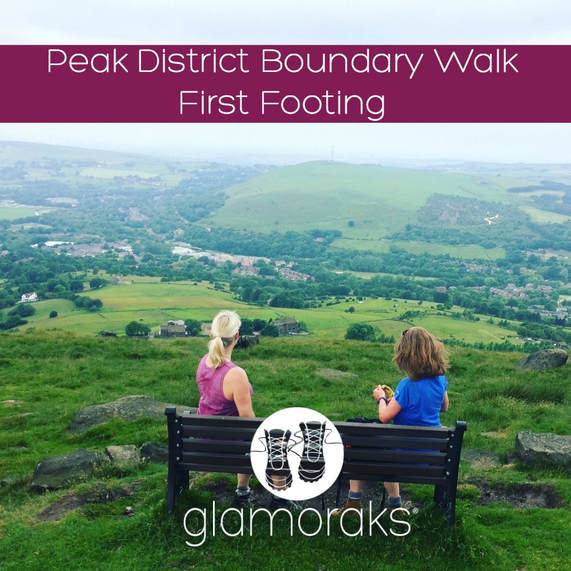 A new boundary walk that takes runs the whole way around the Peak District opened in 2017. The northerly bit of the Peak is in Yorkshire and includes more spectacular moorland walking. This section runs from Greenfield to Marsden. And there's a very welcome pub at the end. Details here. As I said, there are so many walks to be done in Yorkshire. I know that this is just a tiny sample - but they are ones which I have personally walked and written up. I'd love to hear about yours, so please do share any Yorkshire walks you've written about in the comments below.
If you are a woman who loves to walk, please join Glamoraks, an online community that helps women find other women to go walking and adventuring with together. You can also join the Facebook group here. Both are free.
1 Comment
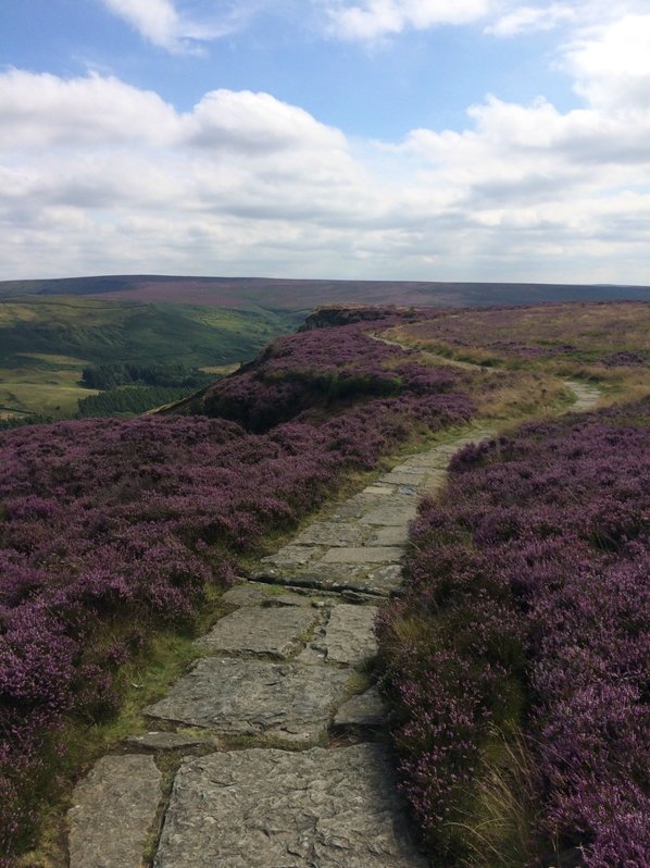
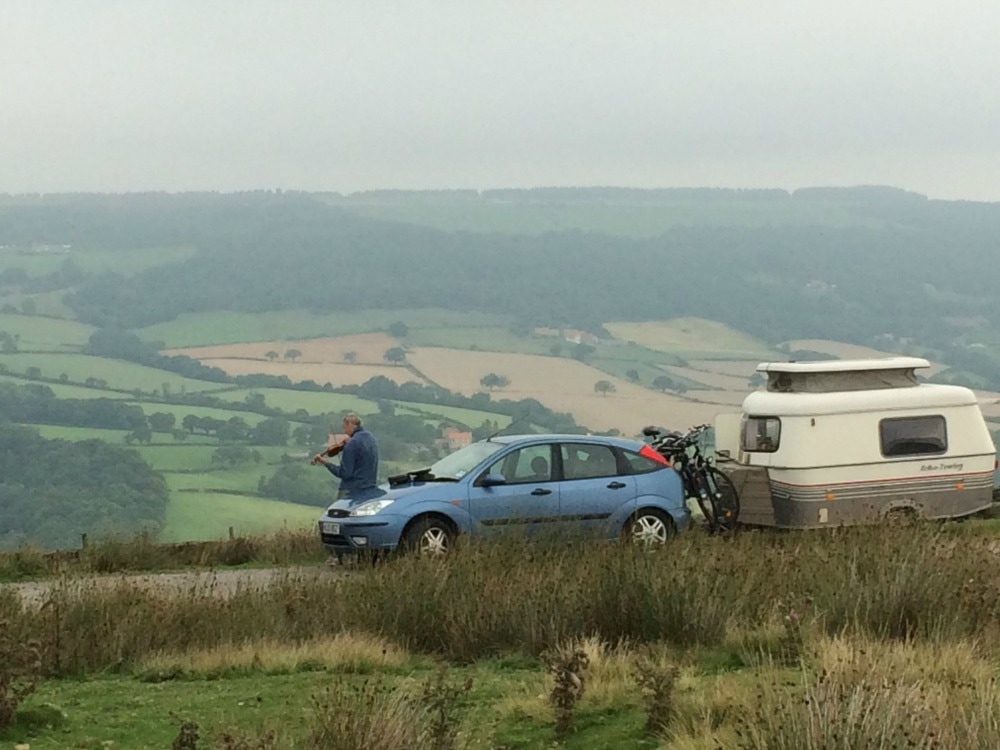
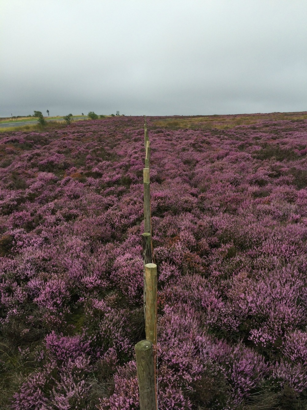
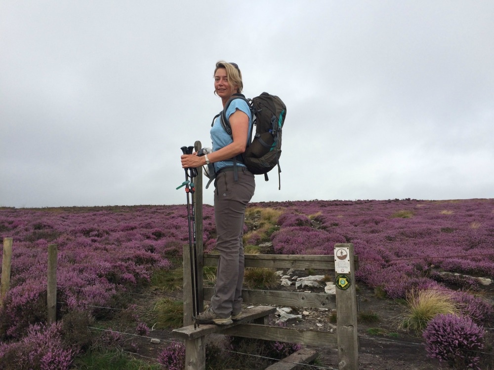
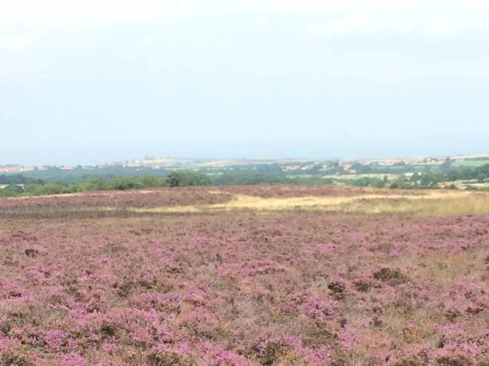
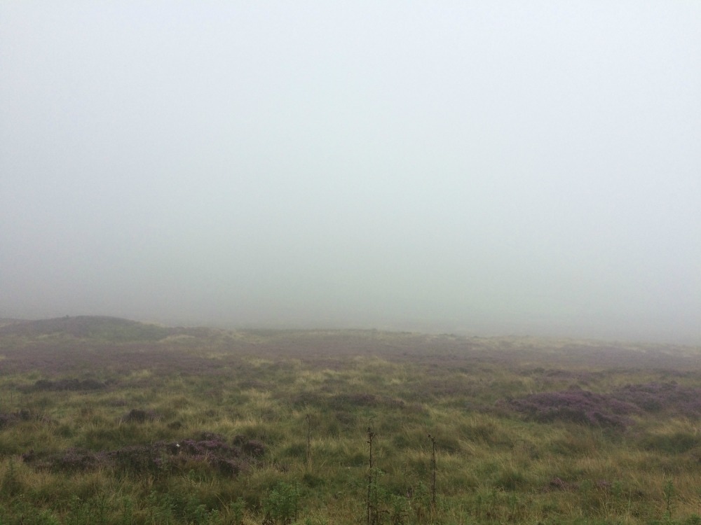
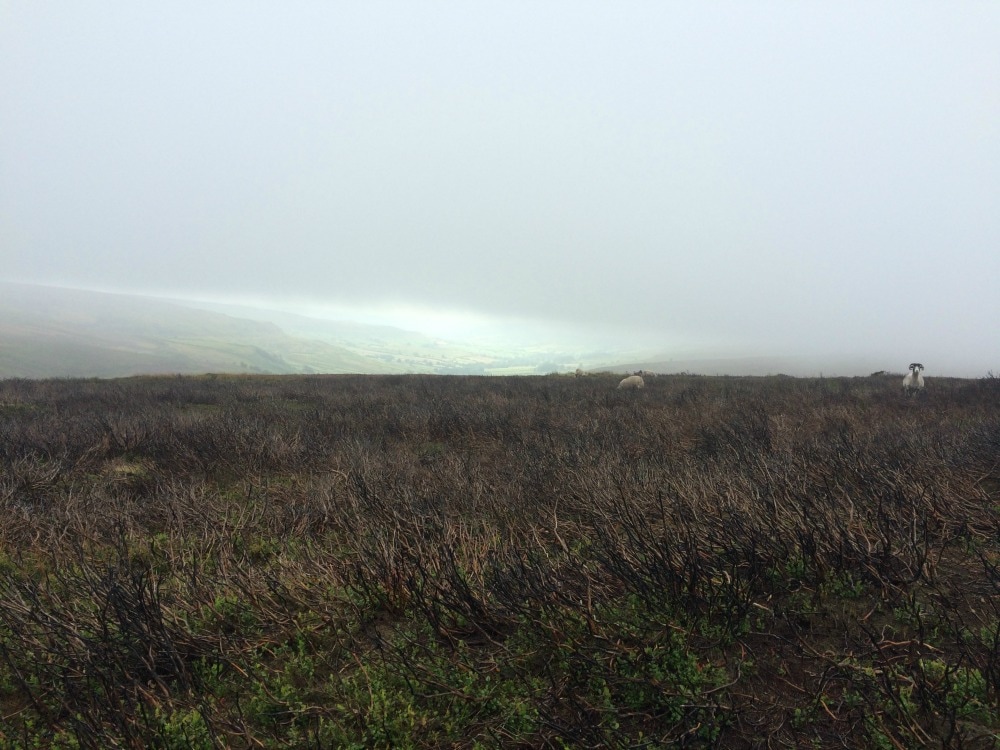
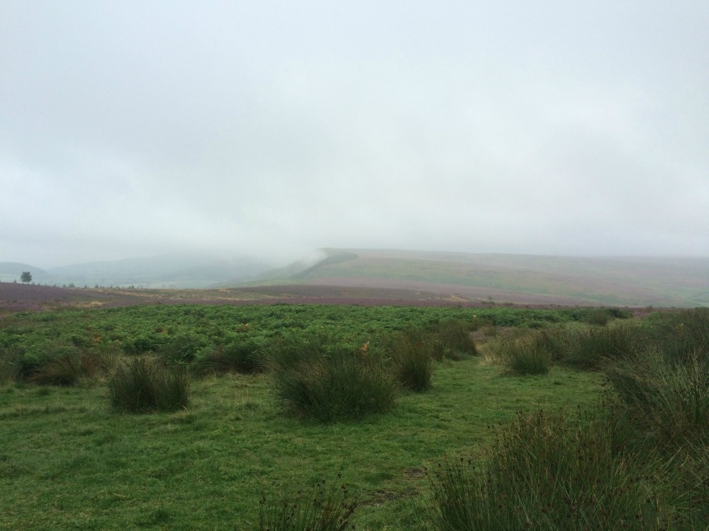
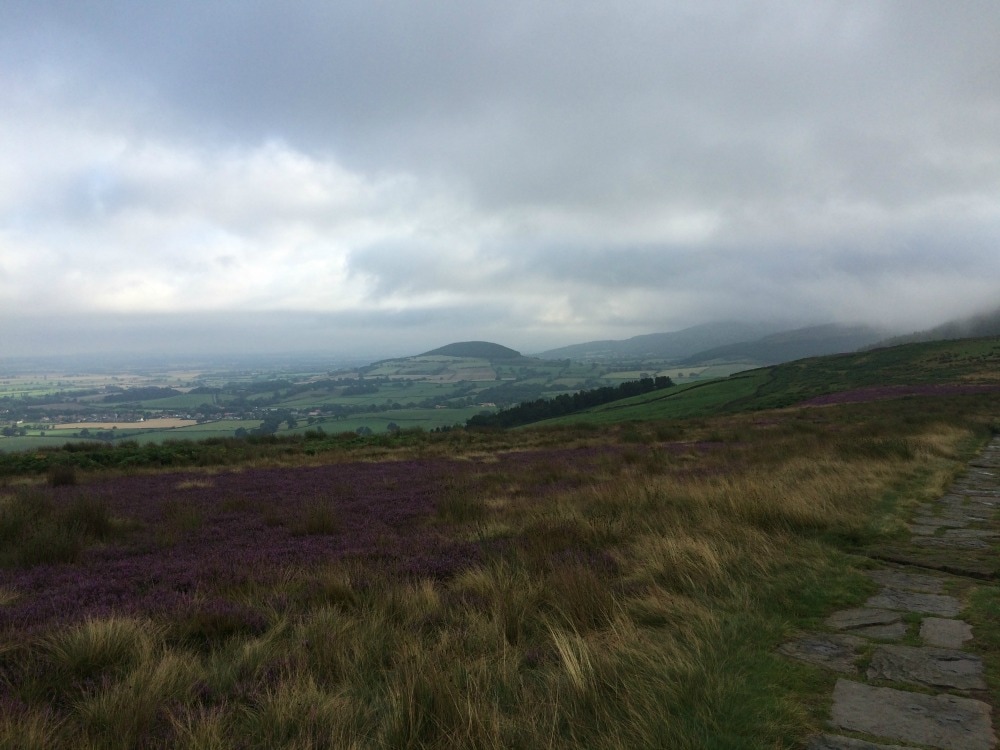
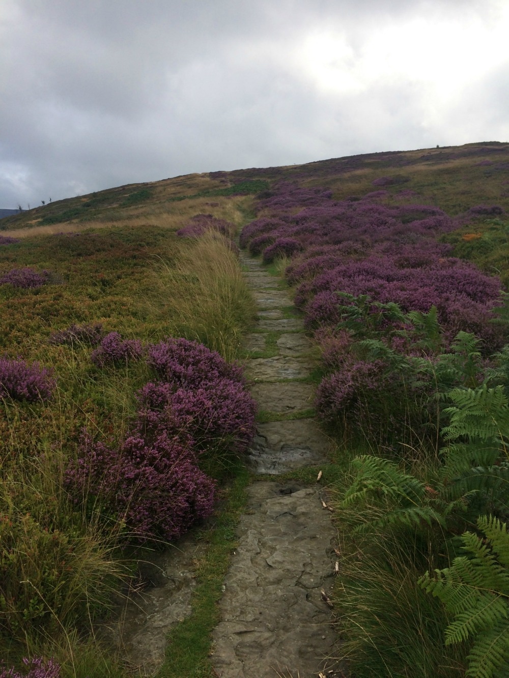
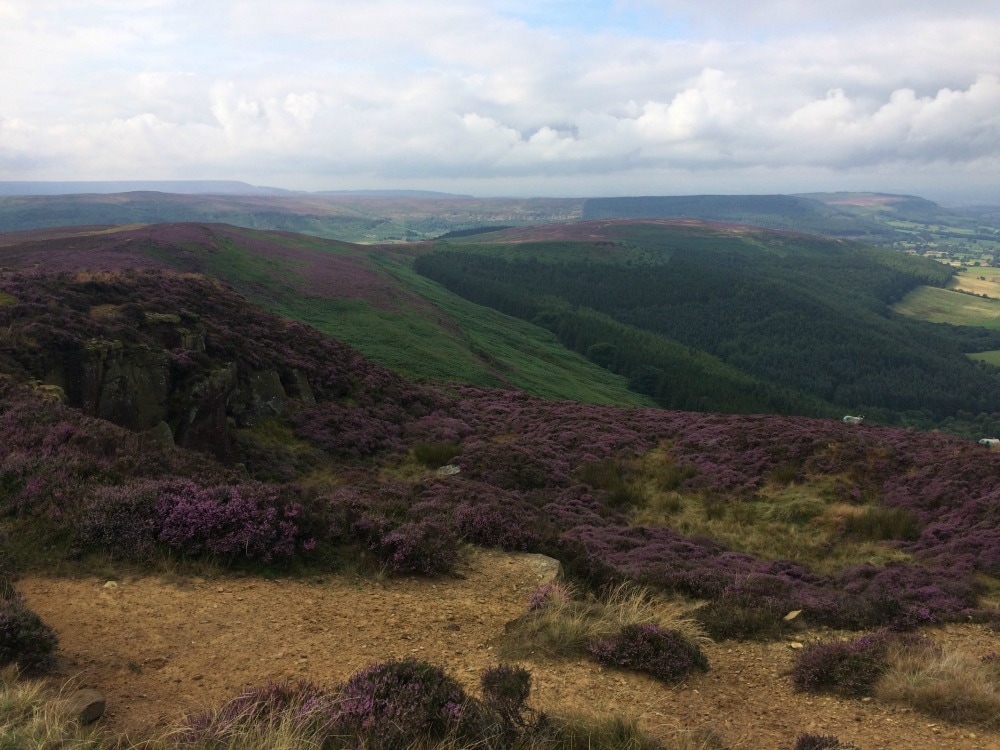
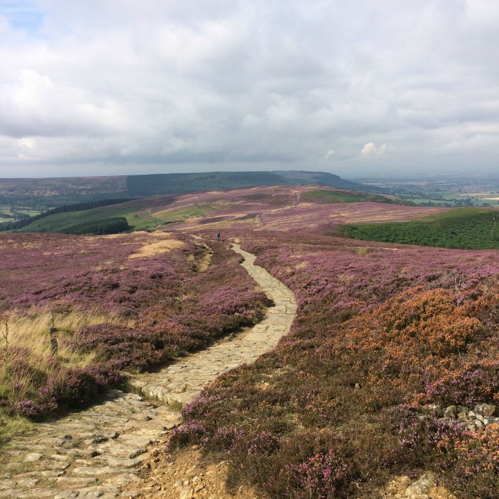
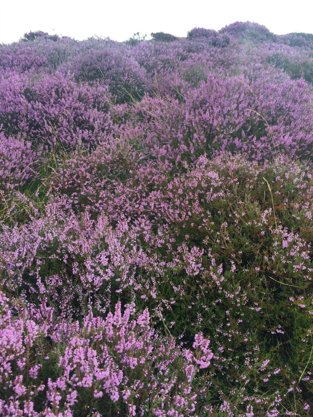
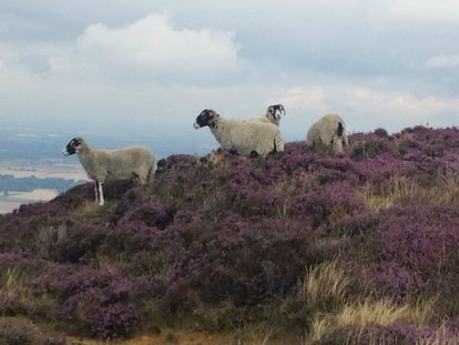
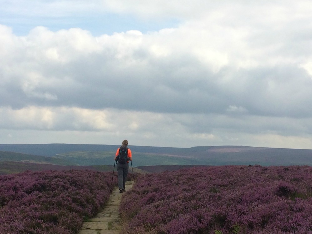
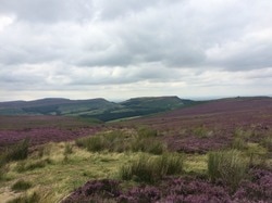
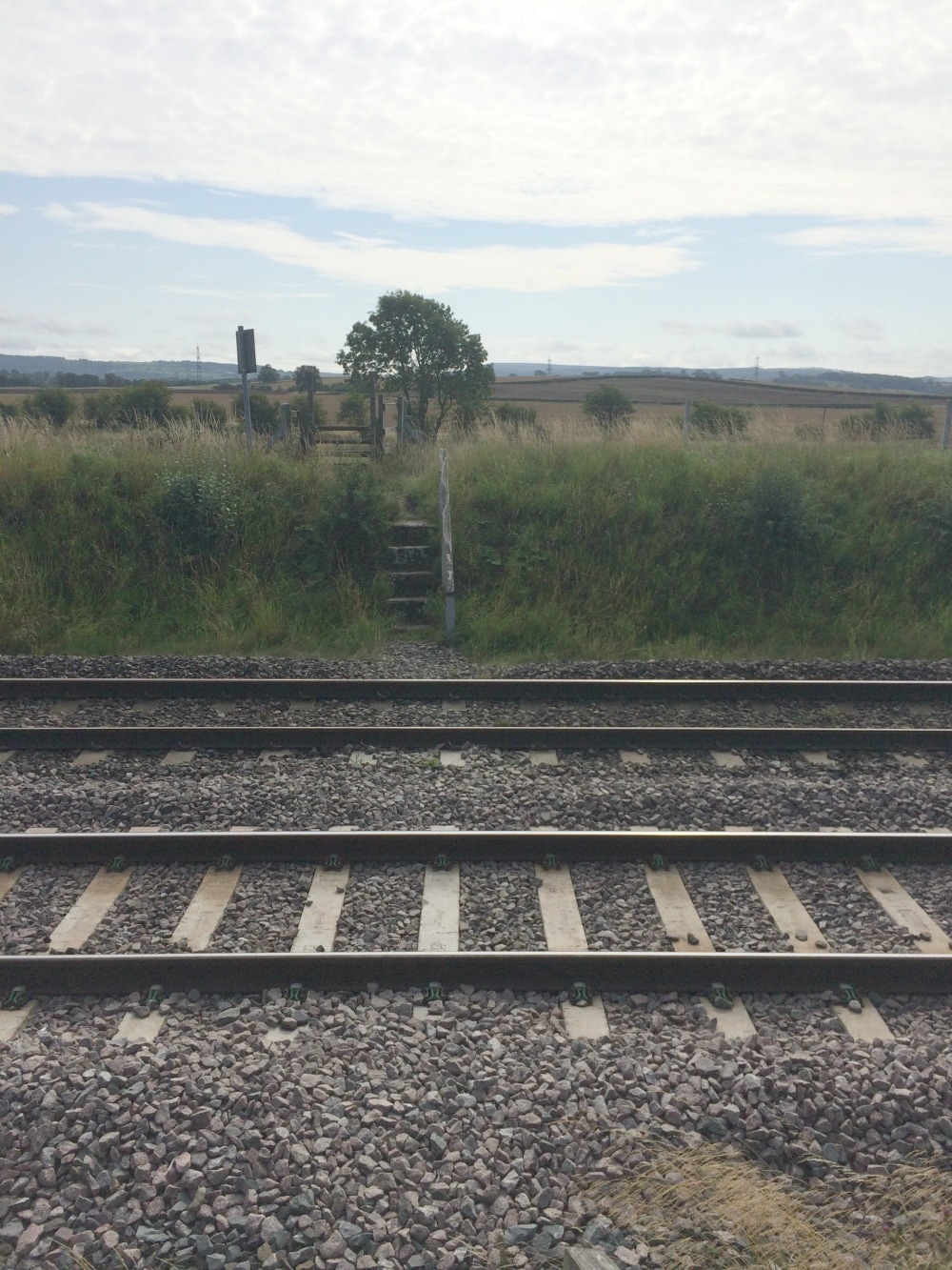
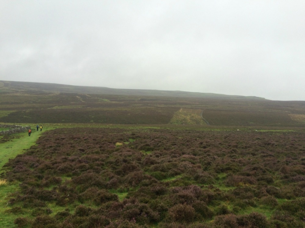
Distance: 15.5 miles (felt a whole lot longer and indeed was due to getting lost!) And so it dawned, our final day of the coast to coast. After a terrific night's sleep in a comfy bed and lovely healthy breakfast, we were keen as mustard to get going. Well mentally we were. Our bodies told a different story. My blister and shin splits were making themselves known. I had taped up my legs with some kind of magic tape that Lynda has brought with her. I'm not sure how much of a difference it made as each step was agony, but with 15.5 miles left it was a case of mind over matter. We set off over the railway and began an immediate steep climb of 230 metres up to Sleights Moor. As we neared the top of our climb, the sound of music drifted on the cool morning air. On the crest of a hill was a man, sitting next to his caravan playing a melody on his violin. What a surreal sight, but a welcome treat after our big climb. Leaving the man to his music, we continued past heather and grouse, savouring the last of moors in all their purple glory.
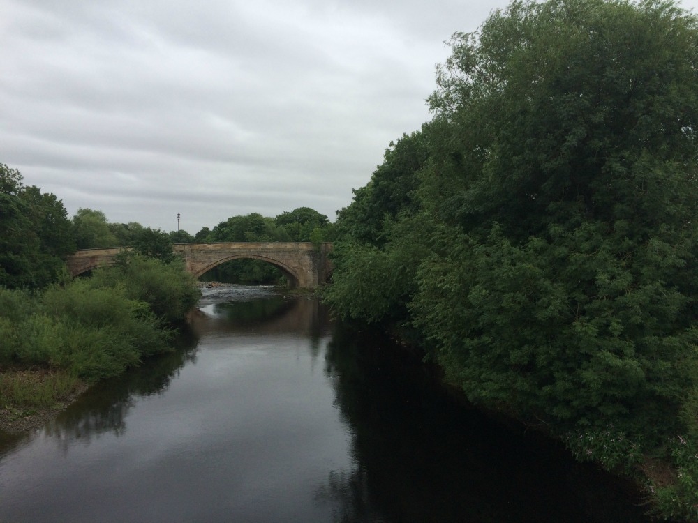
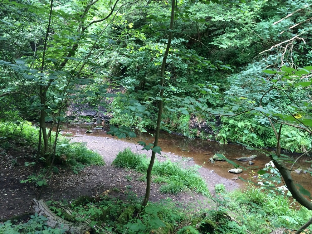
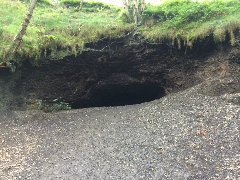
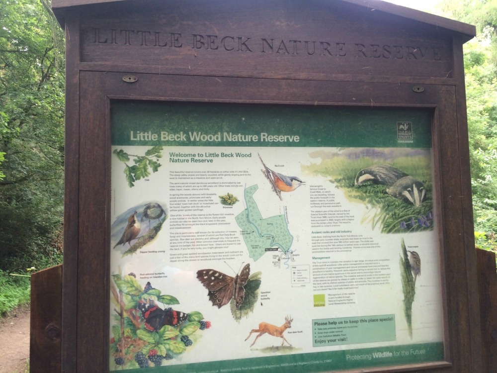
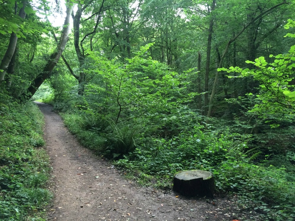
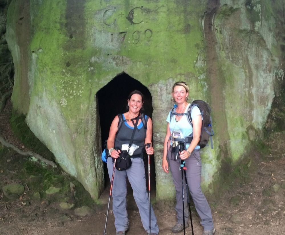
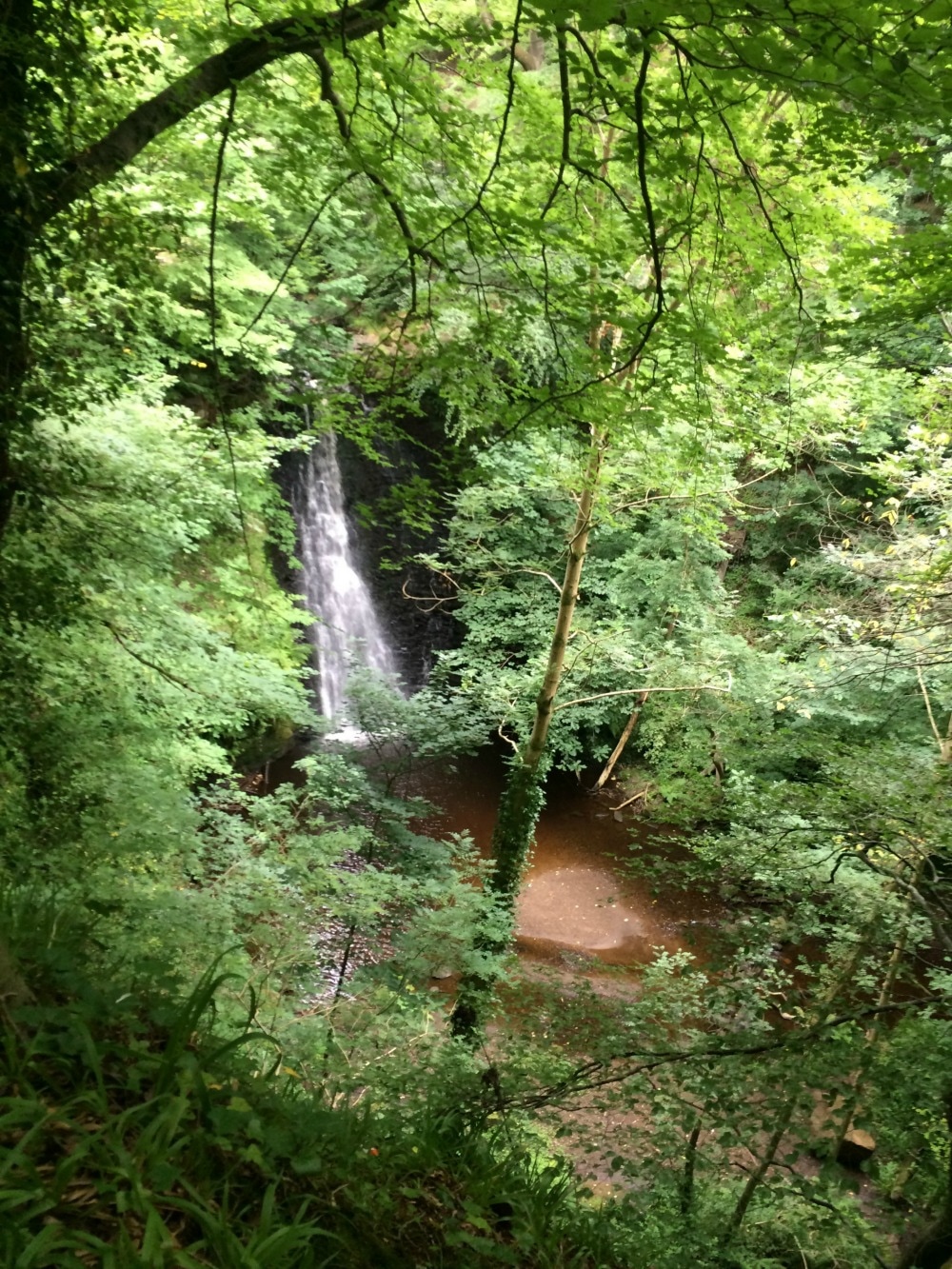
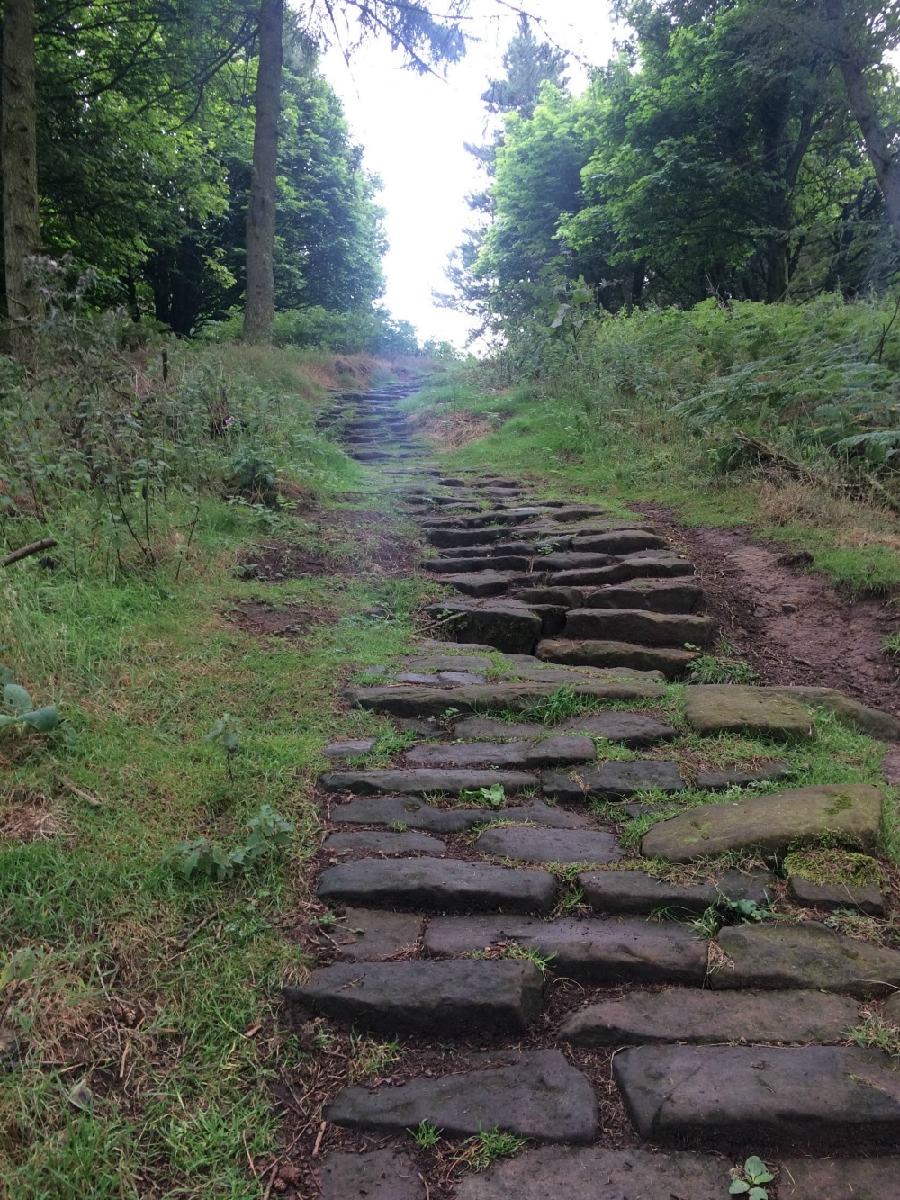
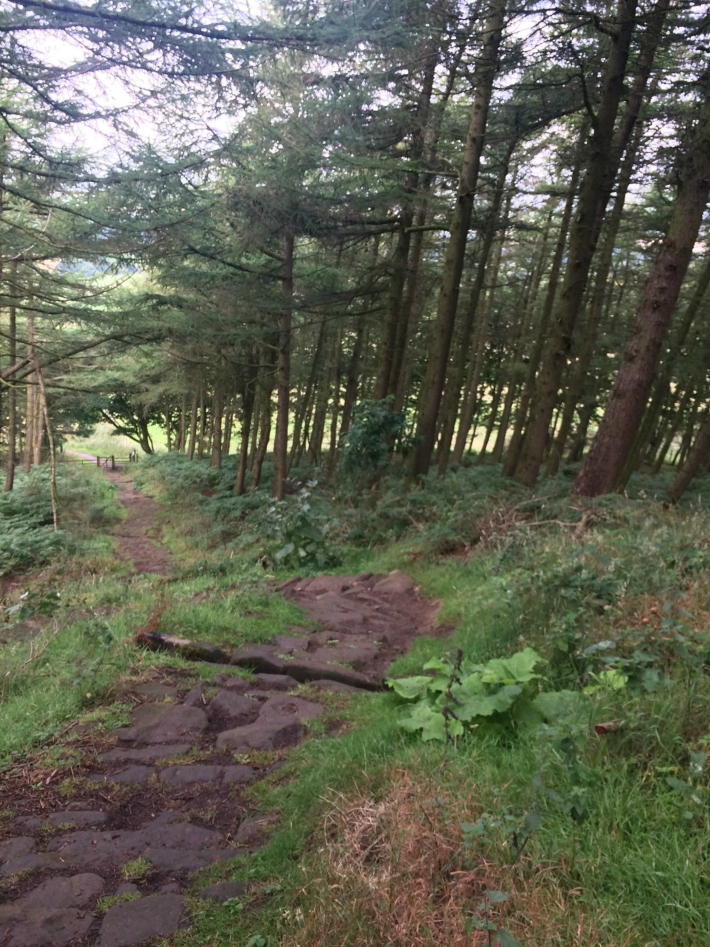
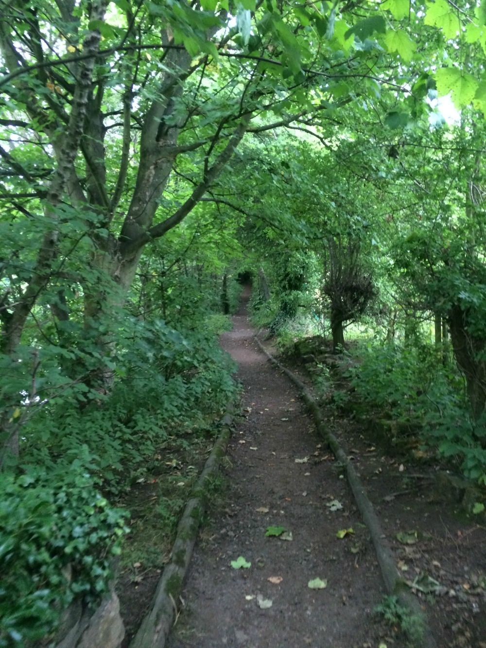
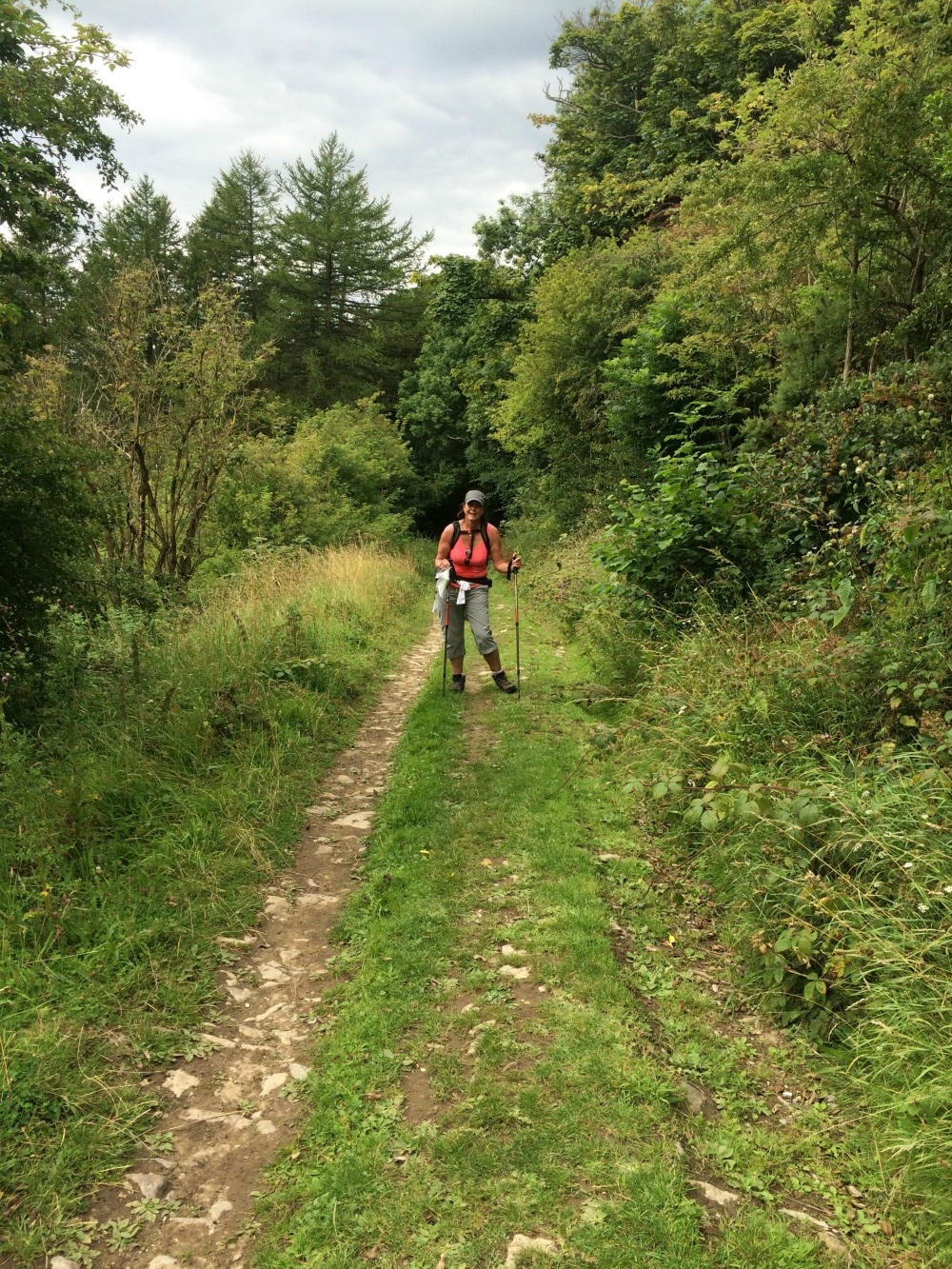
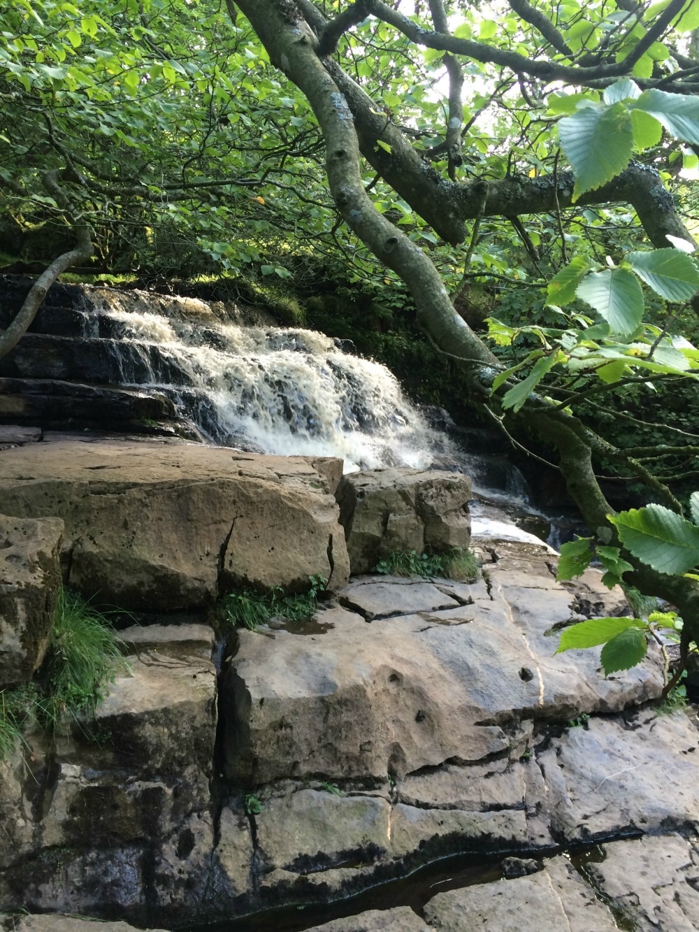
Leaving the moors behind us, we dropped down to another picturesque village - Little Beck - before entering Little Beck woods, which are even prettier. This should have been a simple walk in the woods and out the other side. But somehow we managed to get lost, without leaving the very path we were meant to be on. You see the book said we'd pass a something called The Hermitage, a boulder hollowed out to look like a cave. It also apparently had the date 1790 carved above it. We walked past something that looked like a cave but it had no date above it. We began to look for the next set of instructions. Except that nothing seemed to add up. We walked on, retraced our steps and repeated that several times until an hour later we were ready to lose our minds. A German family walked past us and we asked if they had seen something called The Hermitage. 'Oh yes,' they assured us, 'it's just along there.' The thing we'd thought was the Hermitage was actually just a cave. Had we just kept on walking along the path, we would have found the actual Hermitage and saved ourselves an extra hour on our tired feet. It's amazing what exhaustion does to your brain. All of that meant we had to stop at the pretty Falling Foss tea room for a large slice of carrot cake. The tea room was set up for a wedding later that day and the bridal couple couldn't have asked for a prettier setting, with the Falling Foss waterfall as background music.
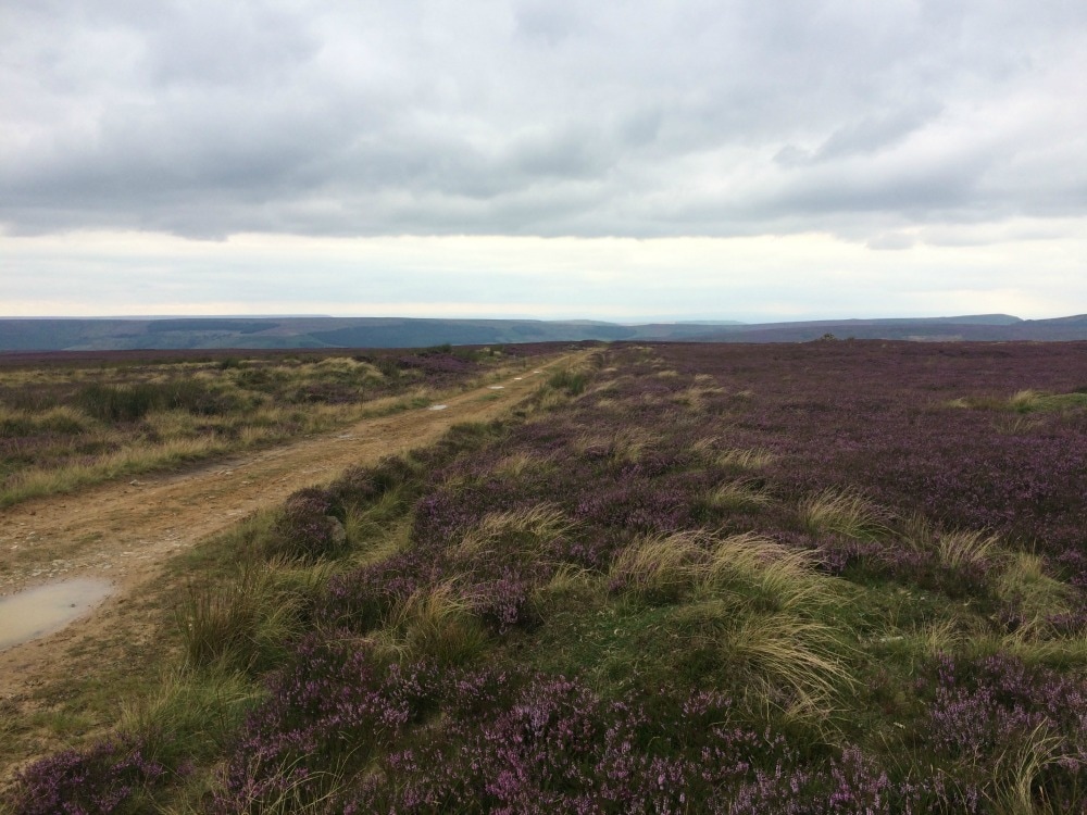
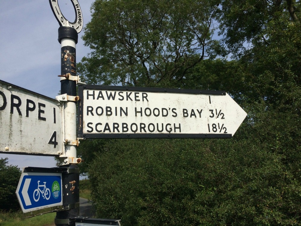
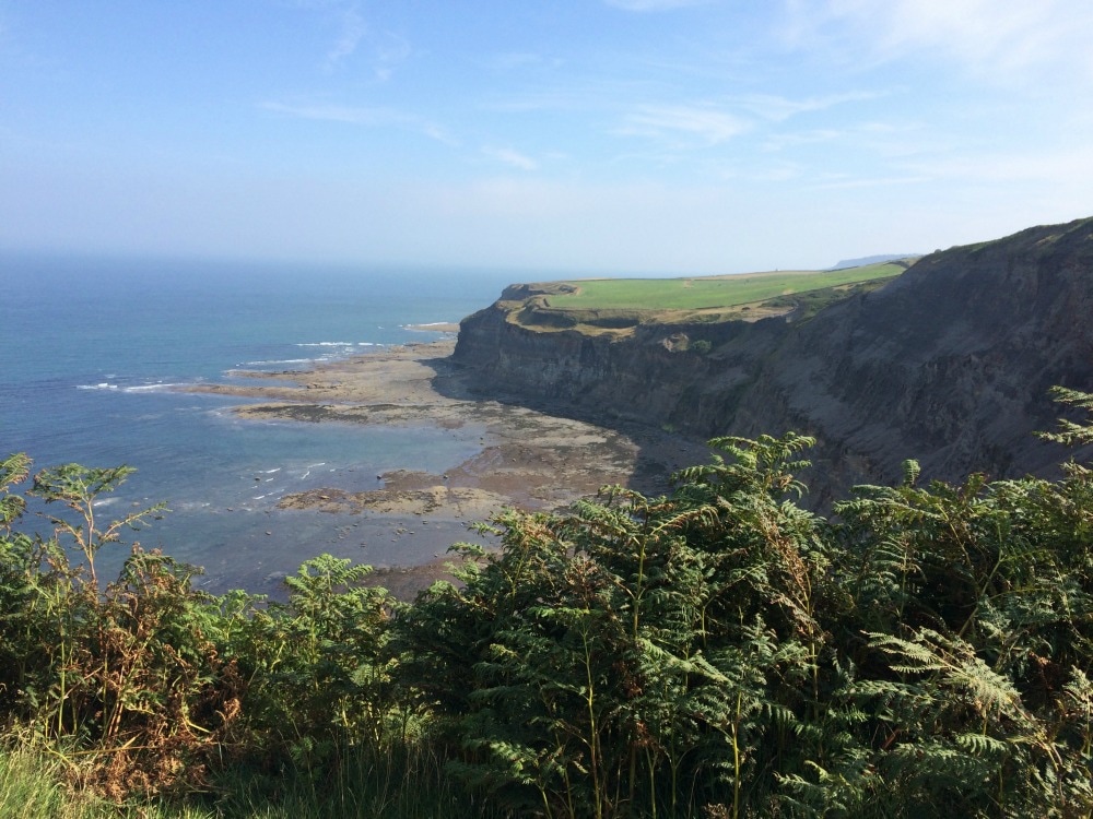
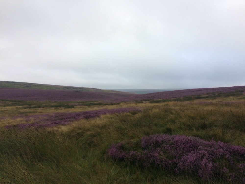
Getting back onto our weary feet, we continued through the woods, hopping on stepping stones that forded the stream. Once we cleared the woods, we were faced with another climb to another moor. We thought we'd left them behind us, but we had to make our way across Sneaton Low Moor. The book warned us that the markings here are unclear and to head for a lone post and solitary tree on the moor. Well we got lost again. Except this time it wasn't in cool shady woods, it was in blazing sun over scrubby land with bogs to rival the Pennine crossing. We finally found our way after going very off piste for a while and emerged onto the busy A171 road. In the distance we could see the ruins of Whitby Abbey and sea just beyond it. Yet, no matter how far we walked, the sea never seemed to get any nearer. We continued across Graystone Hills where yet again, the signage was slim and the chance of getting lost was great. We passed two hikers just setting off on day 1 of their coast to coast journey, but going in the reverse direction. I think the look of us made them want to reconsider doing it! Somehow we manage to find our way to Hawsker and its pub for a reviving cold drink. The day had turned into a scorcher.
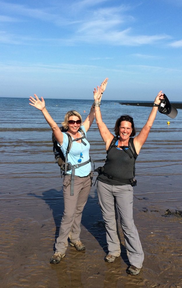
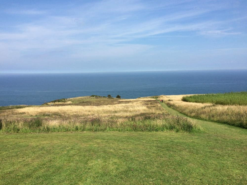
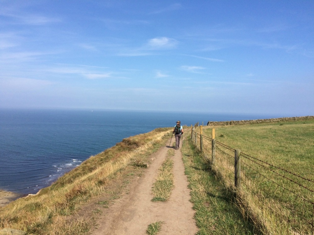
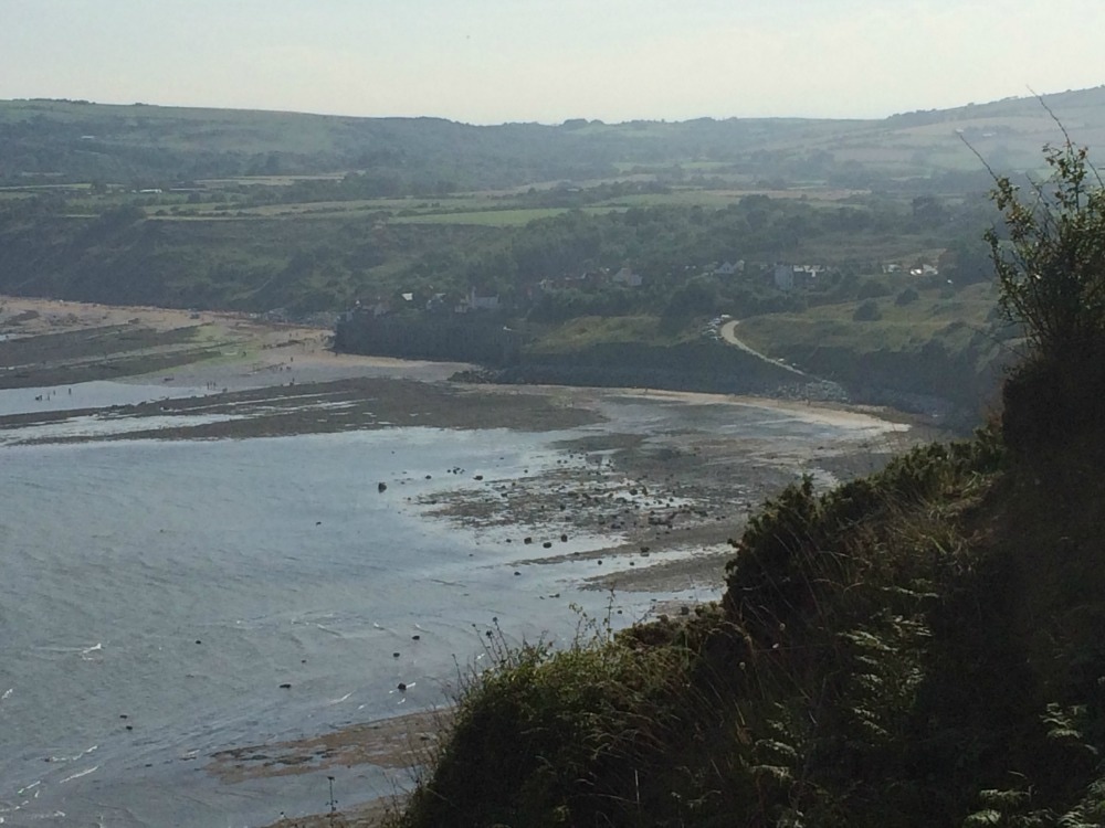
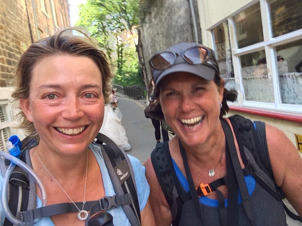
We made our way down through a caravan park and finally reached the coastal path! Hoorah. It felt like we might actually be getting there at last. With stunning sea views to our left, we pushed on in the heat, each step utter agony but that much closer to the finish. It was remarkable to walk along looking at the North Sea, knowing that two weeks before we had walked along on the opposite coast of England looking at the Irish Sea. At last Robin Hood's Bay hove into view.
If you've ever been to Robin Hood's Bay, you will know how steep the hill going down to the sea is. It's as though Wainwright thought he'd have a final trick up his sleeve to completely write off any knees that were still functioning. But by this point we didn't care. We could see the end in sight and the emotion of completing it overrode all feelings of pain and exhaustion. As it happened, a wedding was taking place just as we walked into town. The streets were lined with well wishers, congratulating the new bride and groom. But as the happy couple were behind us, it felt as though the well wishers were all there for us. We decided that frankly, they were, and we entered the town grinning from ear to ear, feeling like rock star champions.
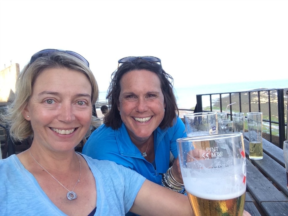
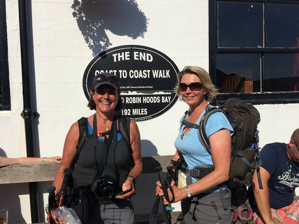
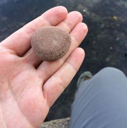
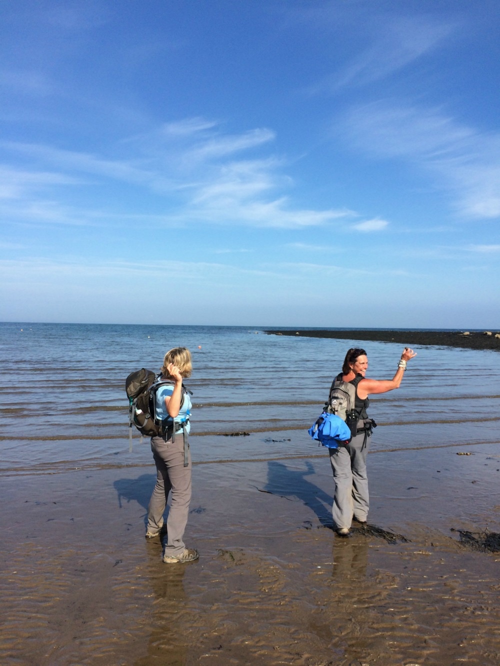
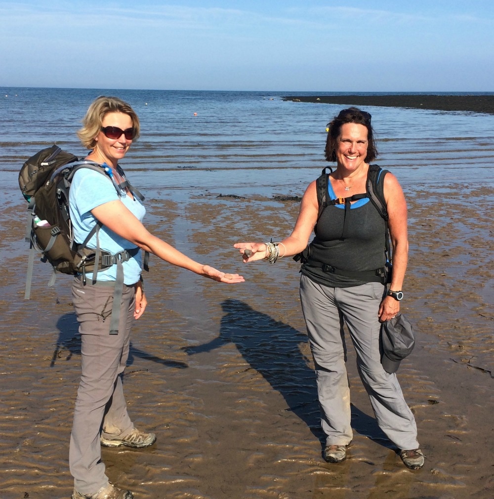
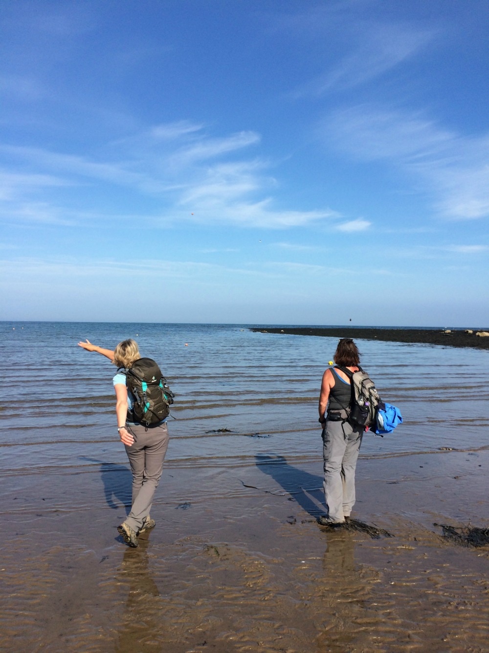
And then at last we were there. Just like that our journey of 192 miles was over. We took our obligatory picture at the end of the route sign. We were surrounded by people beer drinking people enjoying the sun in their shorts, oblivious to all we'd been through. We had hoped our husbands and my children would be there to greet us, but they were far more interested in rock pooling. So we had to walk further along the beach to find them. Only three things were left to do: 1. Throw our pebble from St Bees into the sea 2. Get our certificates of completion 3. Have a very well deserved pint. And so we did.
  Final thoughts on the Coast to Coast:
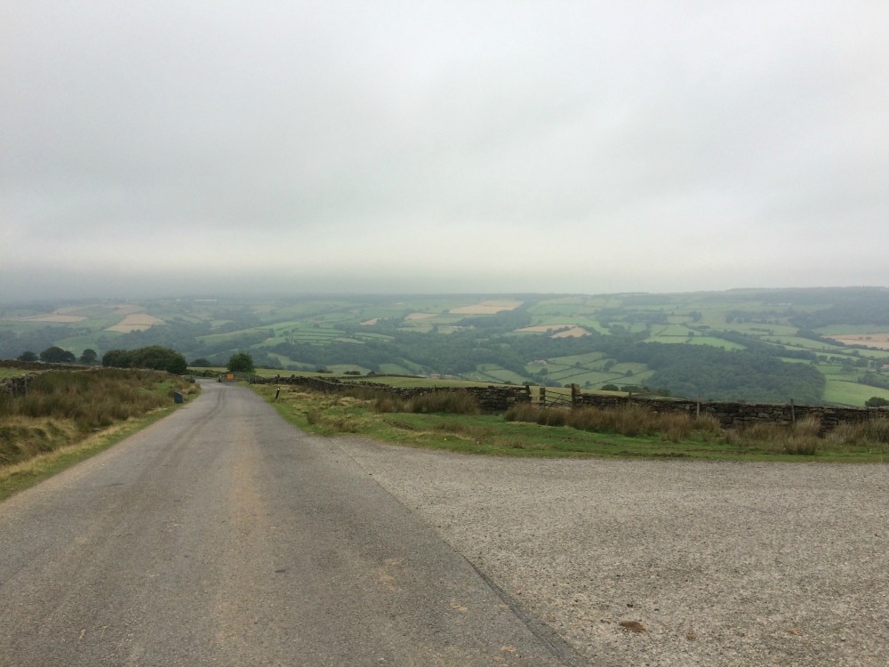
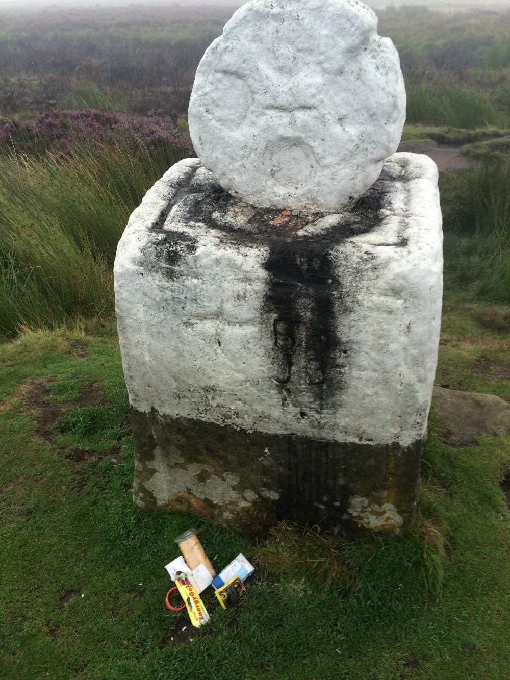
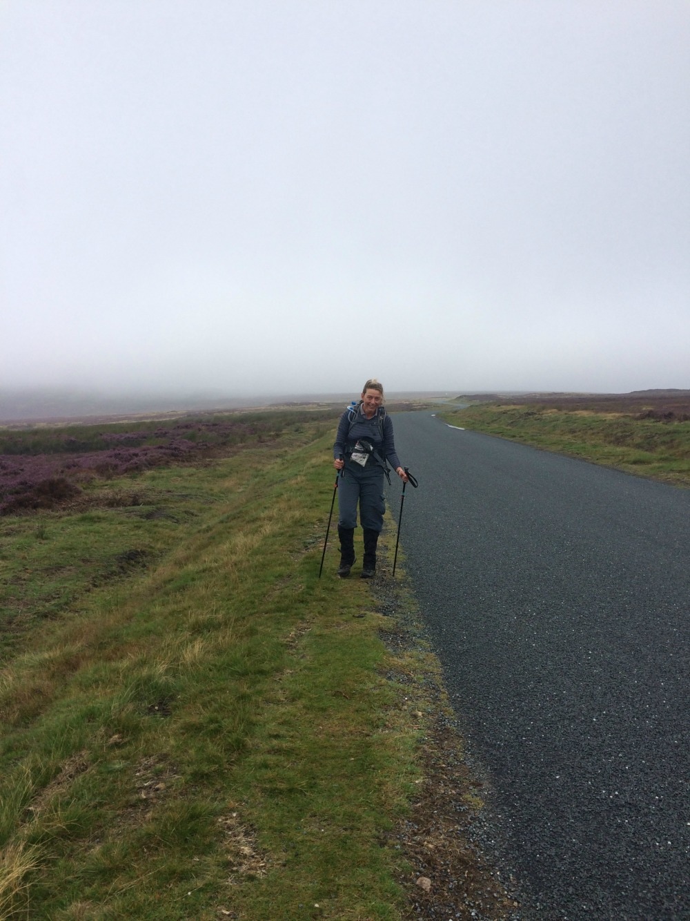
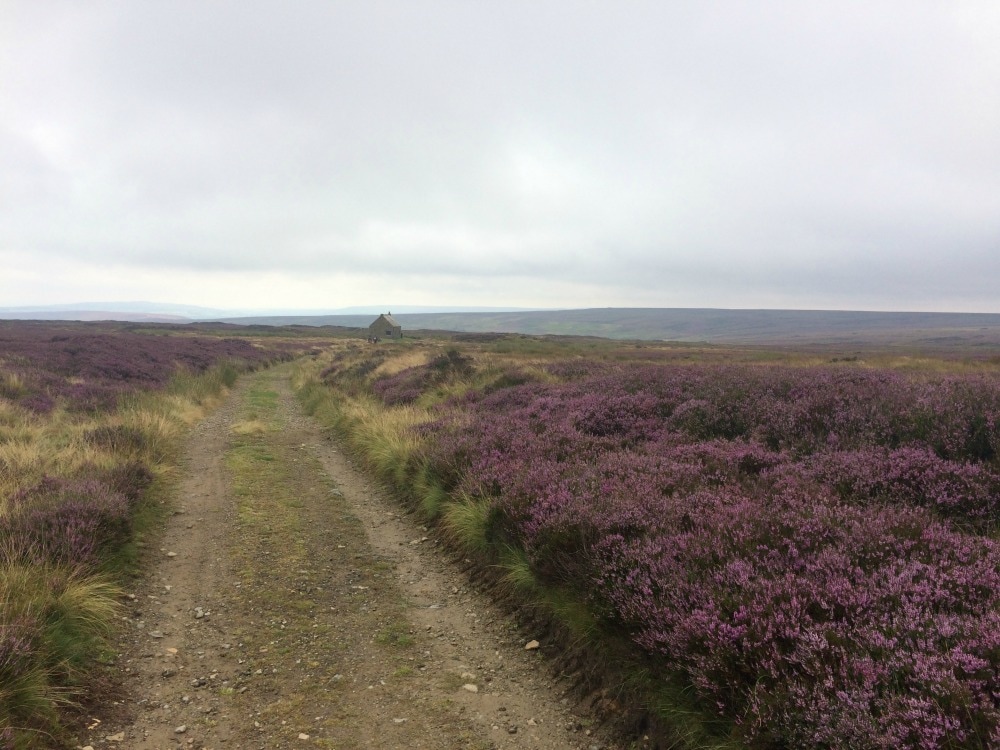
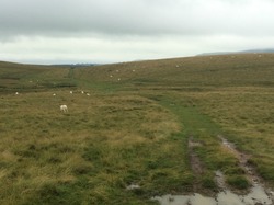
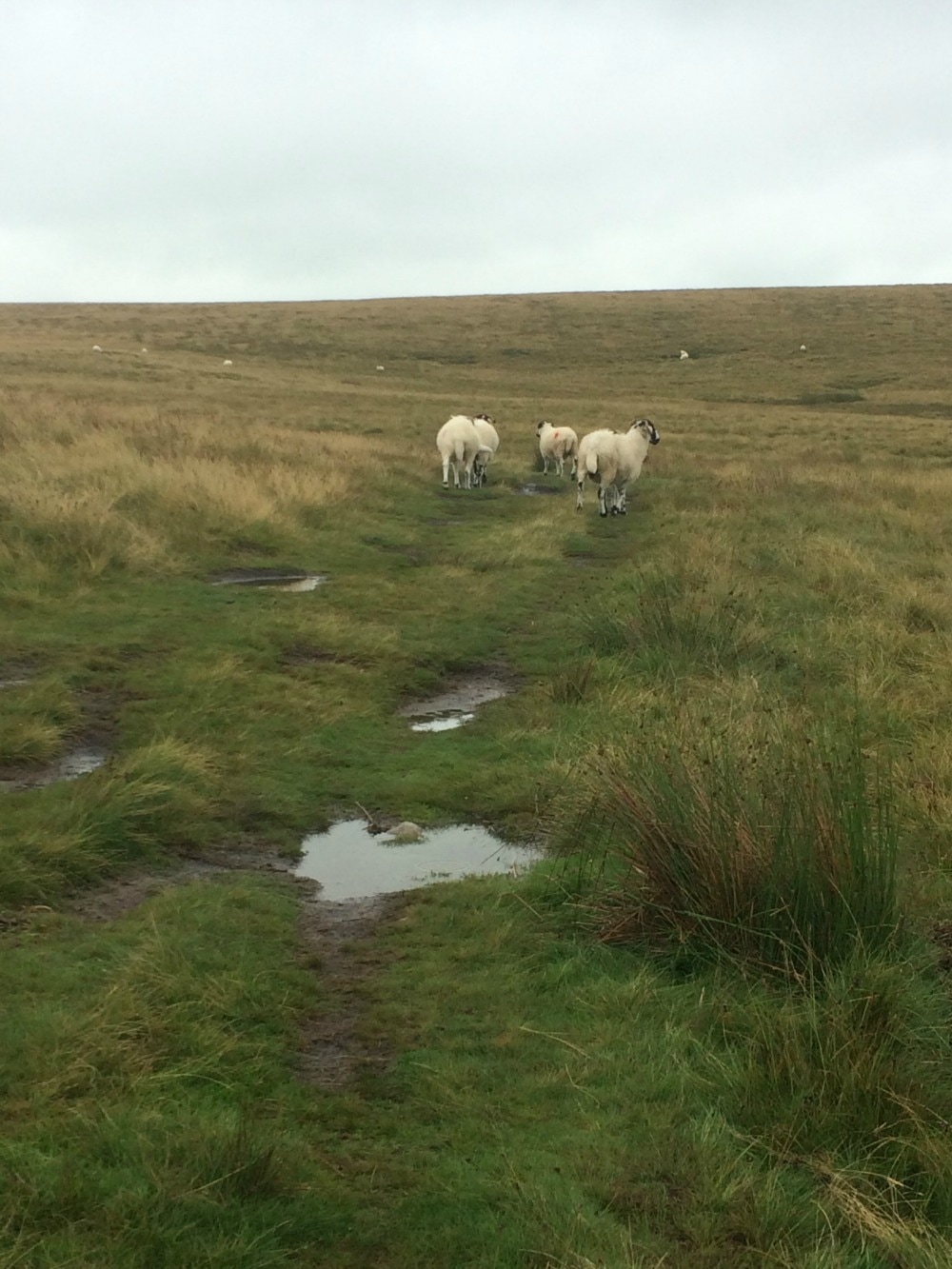
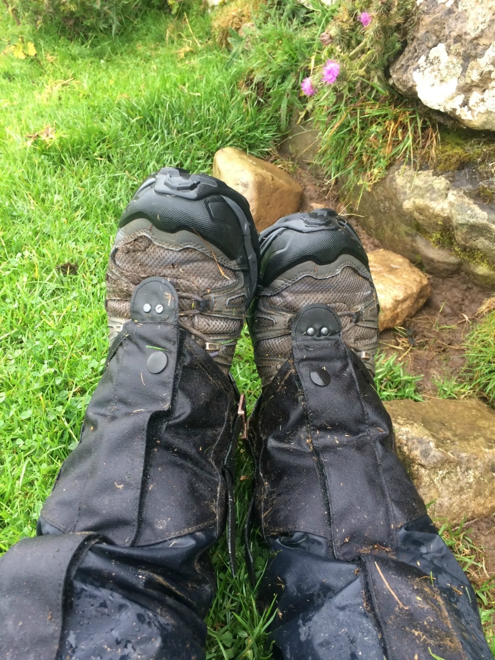
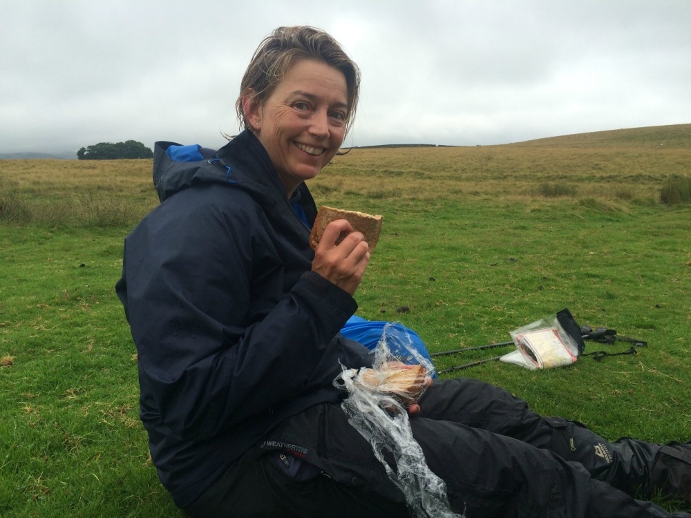
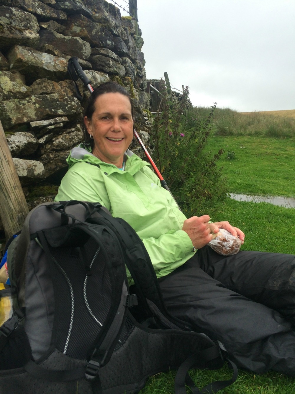
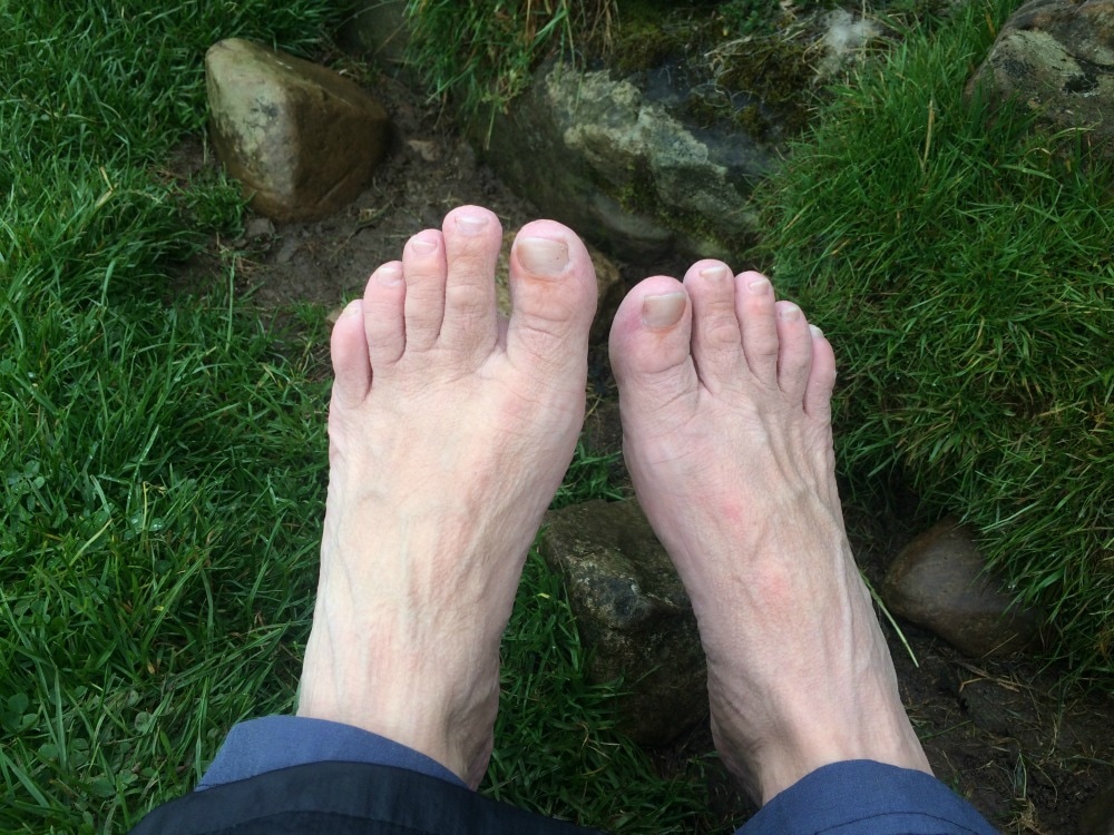
Back to day 13 Back to day 1 How to plan for the Coast to Coast Join the Glamoraks community of women who love to walk, hike and have adventures. Distance: 13.5 miles The exertions of the day before resulting in sore, cramping legs combined with a room that was too hot, meant I had a poor night sleep. Examining my feet in the morning, I found a huge blister on my baby toe, which wasn't really painful but made fitting my foot in my boot a bit of a squeeze. More of an issue was shin splints. Almost two weeks of solid walking, combined with a gargantuan effort the previous day had put serious strain on my feet and legs. Only two more days to go but every step was going to hurt. A lot. 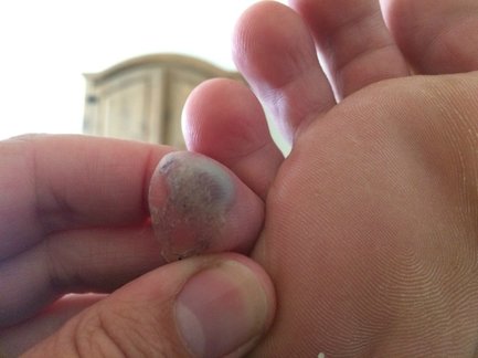 The blister - the only one I got in two weeks After our usual dance of lotions, potions, unpacking and repacking, we had a hasty breakfast in an overheated dining room and were ready to leave. After saying our goodbyes to the Italian Job and Aussies, we set off into a mild, muggy and misty day. Although we were still in the moors, the day's stomp was along a road. It was a slightly eerie feeling walking through mist, with no perception of where we really were. As the morning grew warner, the mists slowly started to burn off, revealing valleys in the distance. Our only company was sheep and the sound of our boots crunching on tarmac. Our guide book told us to look out for Fat Betty, a white landmark where tradition dictates that you both take and leave a gift for fellow travellers. We duly did this, getting rid of some of the many packed lunch biscuits we'd manage to accumulate on our travels. (Top tip: if paying for a packed lunch, ask for sandwich only every few days to avoid an accumulation of crisps, biscuits and fruit weighing down your pack.)
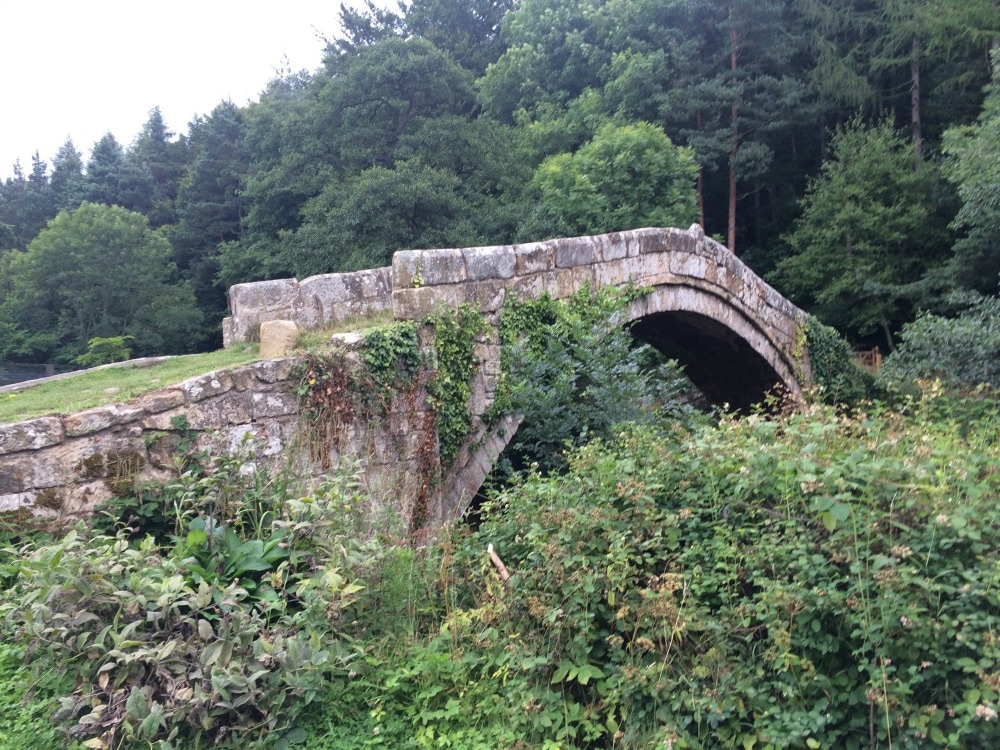
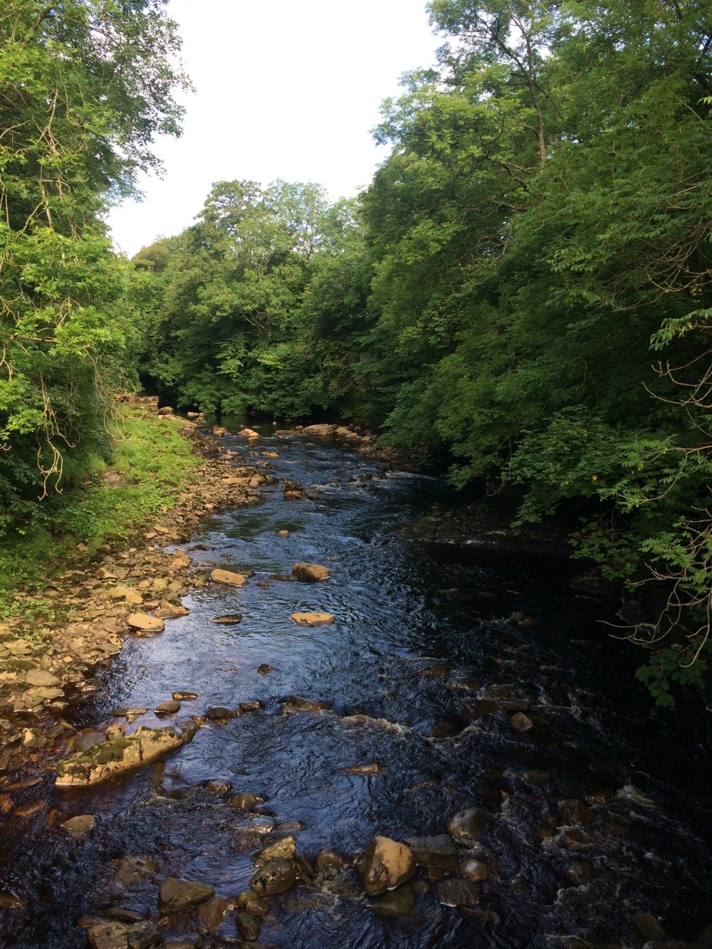
We punctuated our walk with many rest stops as our feet and legs were not happy. At last we left the road behind and set off across Glaisdale High Moor, slowly climbing before dropping down into village, where we took advantage of the Glaisdale tearoom. Two lovely, cheerful ladies running the tearoom served us cups of tea and cheese toasties. We weren't hungry but felt we had to buy something in exchange for being able to sit down a while. We couldn't sit there all day though, much as our feet would have liked it, so we plodded on down a steep hill, past Beggar's Bridge and then through the woods that run alongside the Esk River. I'd done this particular stretch of the Esk River Valley Walk once before and had damaged my achilles in the process. And here I was again in just about as much agony.
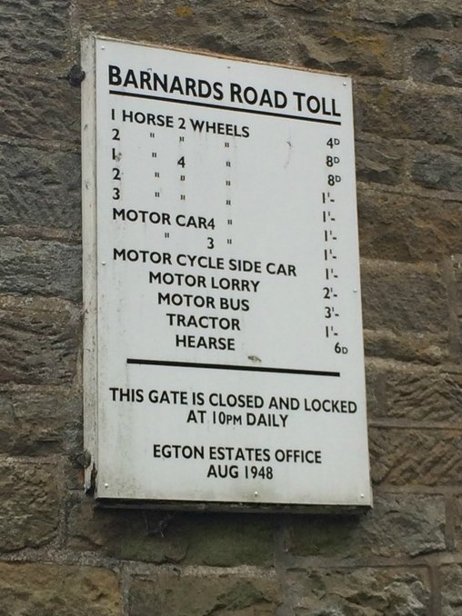
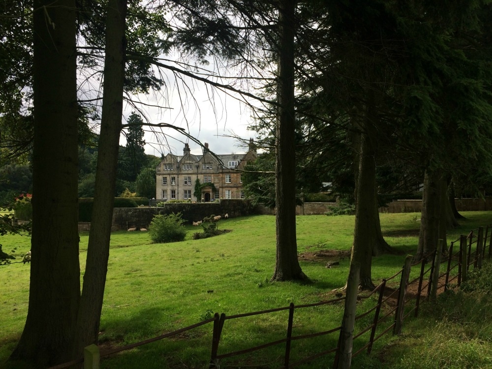
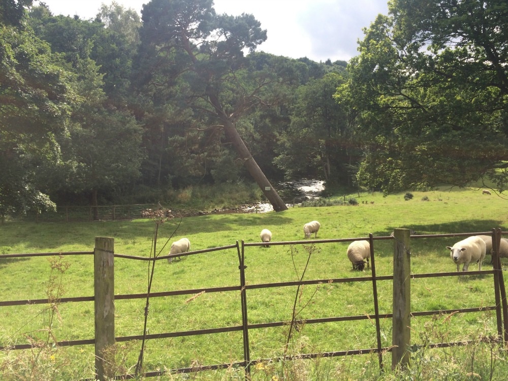
Our route - with many ups and downs but which felt flat in contrast to the day before - took us on to the ridiculously pretty village of Egton Bridge. The coast to coast path takes you past the Egton Estate with a palatial house and grounds, complete with sheep. A sign from an old toll house spoke of simpler days gone by.
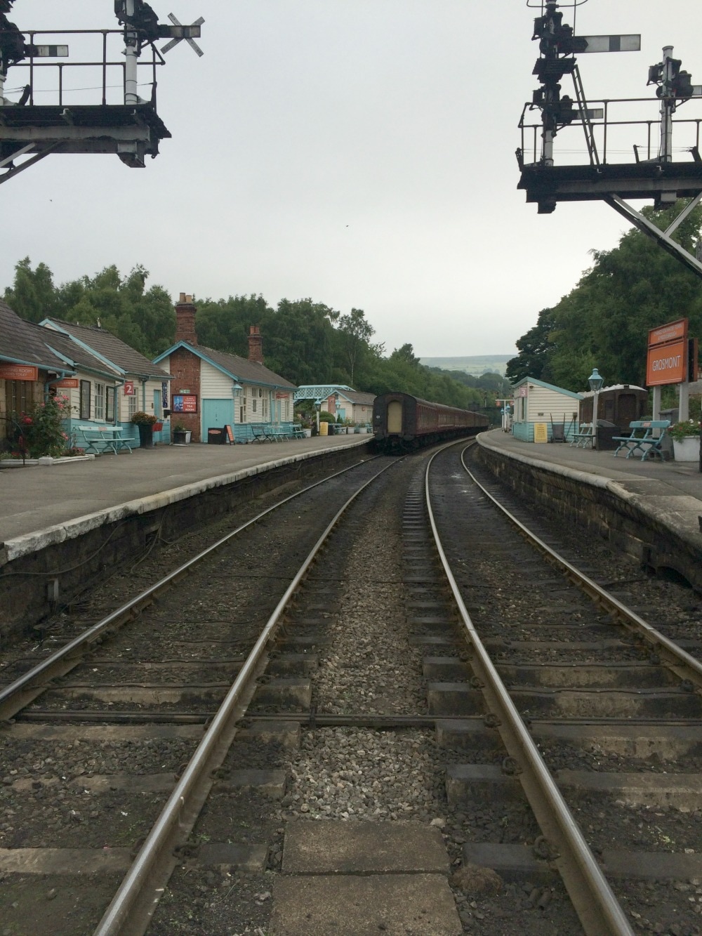
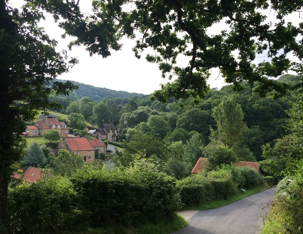
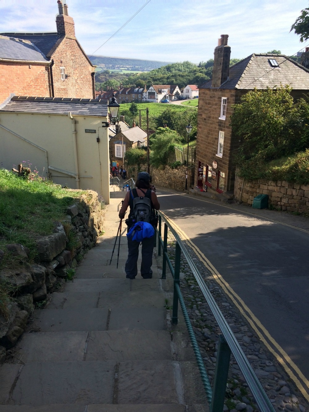
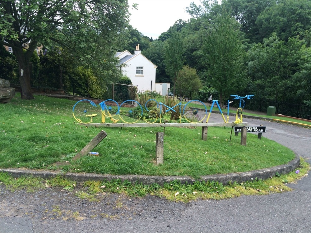
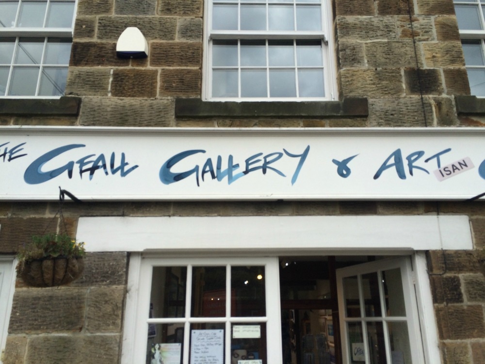
 At last we got to Grosmont, a place I'd passed through before on the North Yorkshire Moors Railway. As luck would have it, the Pullman train was there with everyone dressed in their finery for a fancy meal out on the old steam train. We stared at them and they at us, in our bedraggled state. We arrived at our B&B for the night, a very fancy place called the Gallery. The decor looked more like that of a posh London hotel so it was a treat to have a long soak in the bath and rest our weary legs. Less fun was the fact that the Packhorse bag van had broken down so we had to put our dirty, smelly clothes back on before we could head out for dinner. But by this point, we were well beyond caring what we looked like. We found the village pub and after another low fat meal of burgers, chips, beer and whisky, we headed back to find our bags waiting for us. We spent a lot of time massing our legs that night in preparation for our final push. We only had one more day to go and we needed our legs to complete it! I had mixed feelings about it all ending. What a fabulous adventure it had been, but my legs and feet were certainly in need of a long rest.
On to day 14
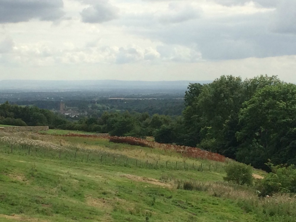
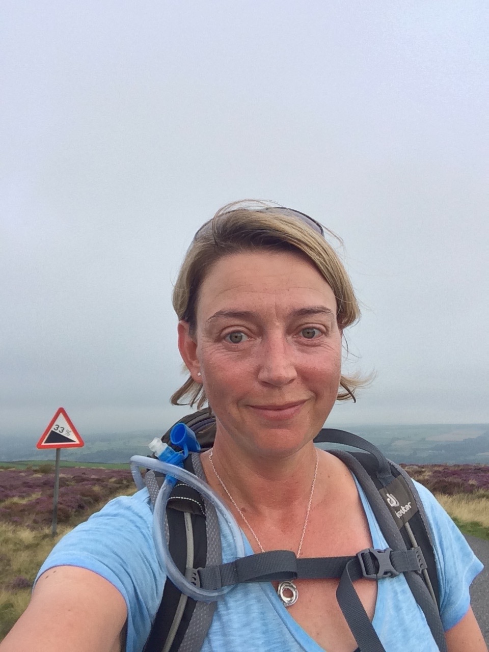
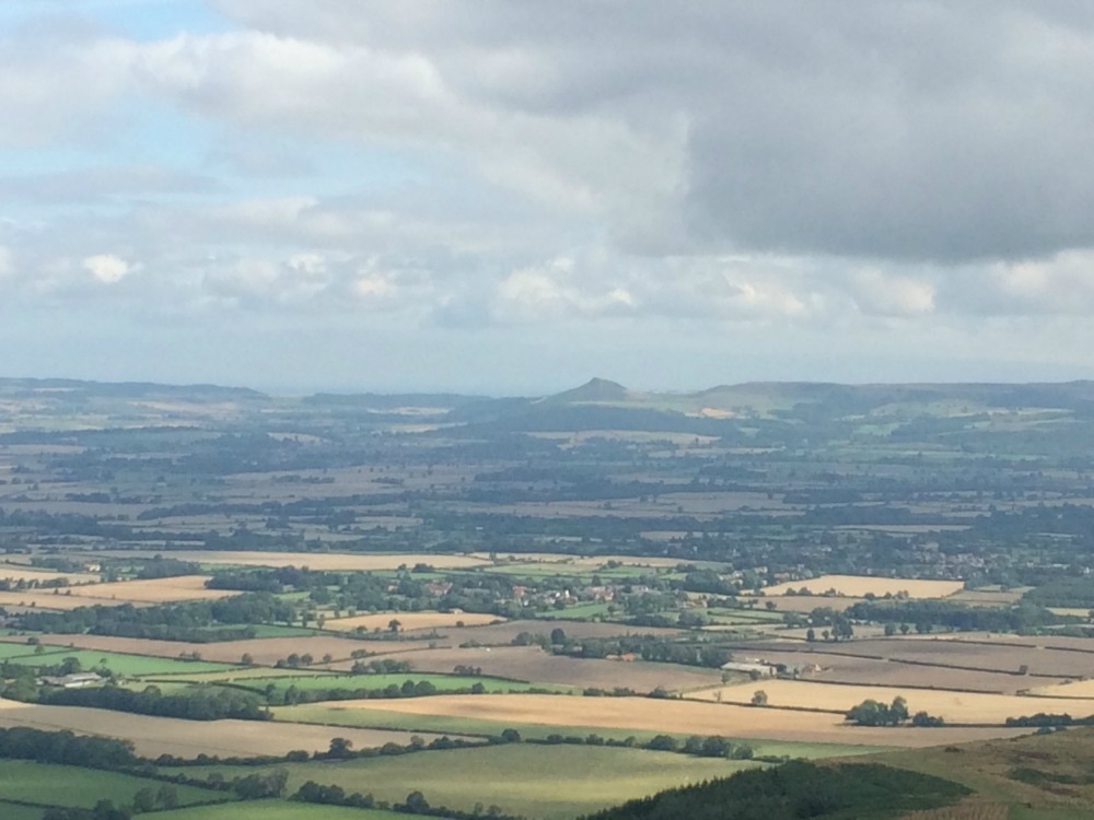
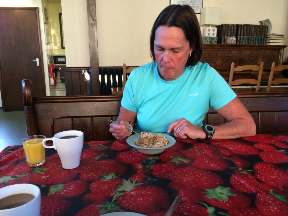
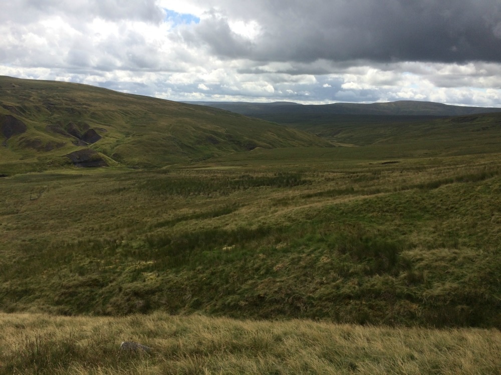
Back to day 12 Back to day 1 How to plan for the Coast to Coast Want to walk the coast to coast? Join the Glamoraks community and find a walking buddy. Distance: 23 miles This is the day that stands out in my memory above all others on the Coast 2 Coast journey. It was the longest, hilliest and toughest, yet it was the most spectacularly beautiful too. Knowing that we had a very long way to go, we got up at 6am. Jane, our very accommodating host, prepared a simple breakfast of cereal as we didn't want any more at that time. She also made up sausage sandwiches for us to have as a second breakfast once we were on the trail. We were off by 7.30, walking into a beautiful morning with mist covering the hills ahead of us. Almost immediately we had a big climb up, our first of 8, totalling over 1000ft of climbing or the equivalent of 258 flights of stairs by the end of the day. The book described our first climb as 'relentlessly uphill' and indeed it was. By the time we reached the top and joined the Cleveland Way path, we were drenched in sweat, despite the mist making a valiant effort to cool us down. The views that greeted us were well worth the effort though. From Scarth Woods, we could look out along the ridge line of the Cleveland Hills towards Roseberry Topping in the distance. The purple heather and lifting mists felt magical and all cursing of the hill we'd climbed was forgotten as we just drank it in.  The big climb to the top
We wandered on through the heather, stopped to gobble our sausage sandwiches while looking out at the view, then trundled down through the woods past Hurthwaite Green before starting our second climb of the day. This time we were headed up through Carlton Moor to Carlton Bank. What spectacular scenery. The heather was simply jaw dropping. Every few paces we had to stop for another photo. At last - after many stops - we go to the top of Carlton Bank, where we got our first glimpse of the North Sea - our destination! Great excitement ensued as it felt as though we were practically there. We weren't.
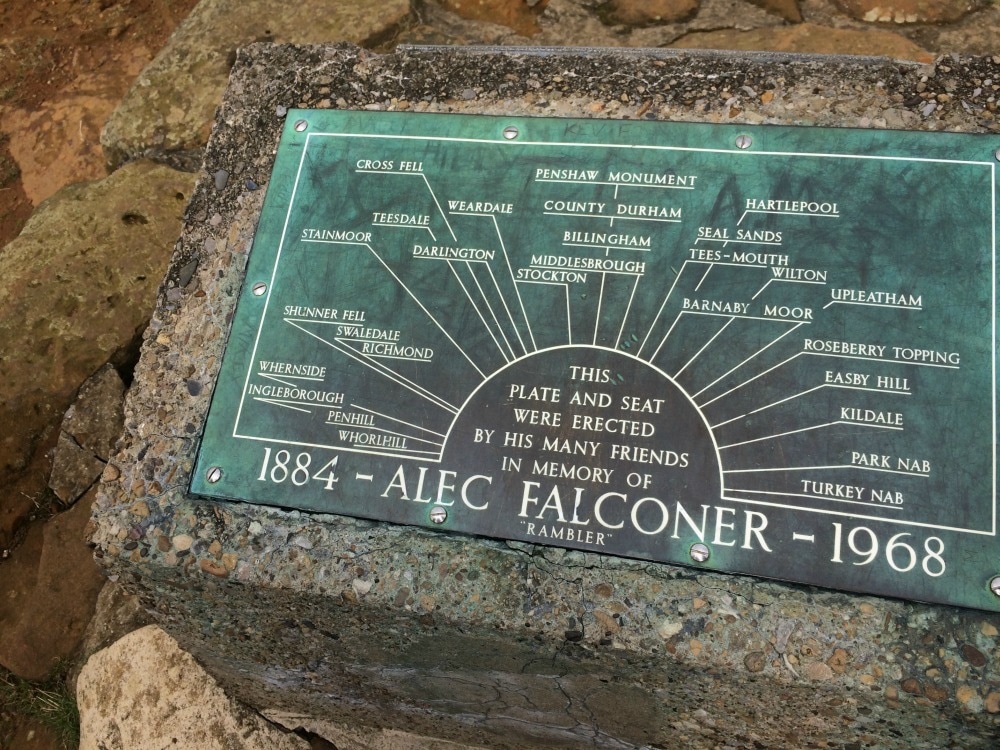
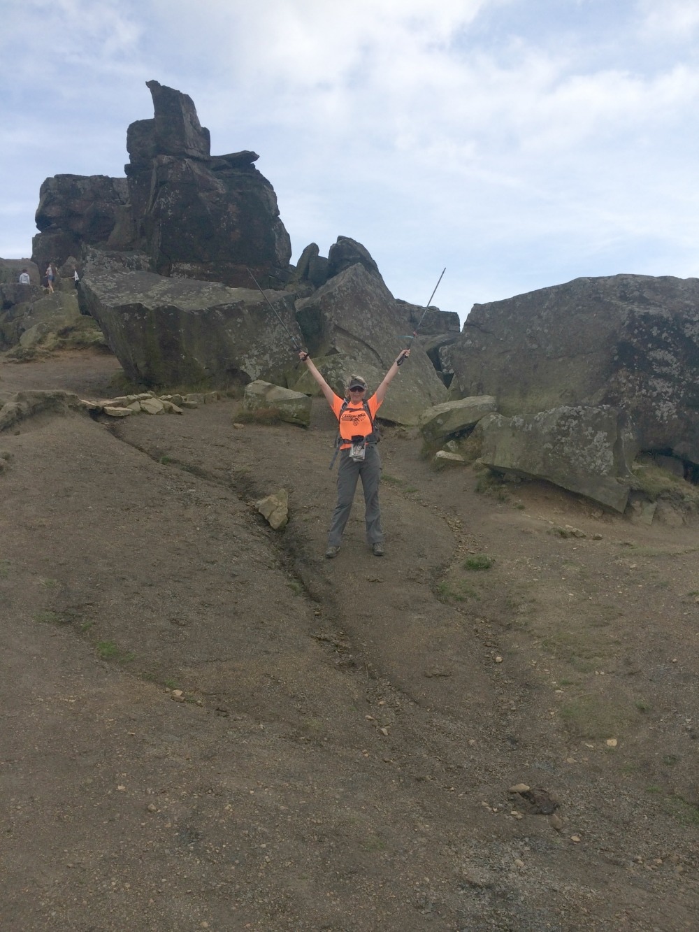
 Bless our naivete - we thought we were almost there. We set off again in a buoyant mood, feeling as though we could conquer anything. We set off downhill again, passing Lord Stones, a jolly looking place where we could have stopped for tea, but now we had the bit between our teeth and were going to just keep going. Up we went again, this time up to Kirby Bank where a memorial to Alex Falconer is erected. I'm not sure who is was but he has a top spot for a memorial, with fabulous views out in all directions. Down we went again, a very steep descent and then up again to the famous Wain Stones, a tumbled mess of giant boulders. Still more up to the top of Hasty Bank, where for a short while we were blessed with a lovely flat path of pave stones. We should have known it was too good to last. Another super steep down hill greeted up. By now our knees were officially going on strike. It was hard to tell which was more exhausting - the going up or the going down. We passed many walkers on these up and down routes and we all enjoyed stopping for a chat, but mainly it was an excuse to breathe and slow our heart rates.
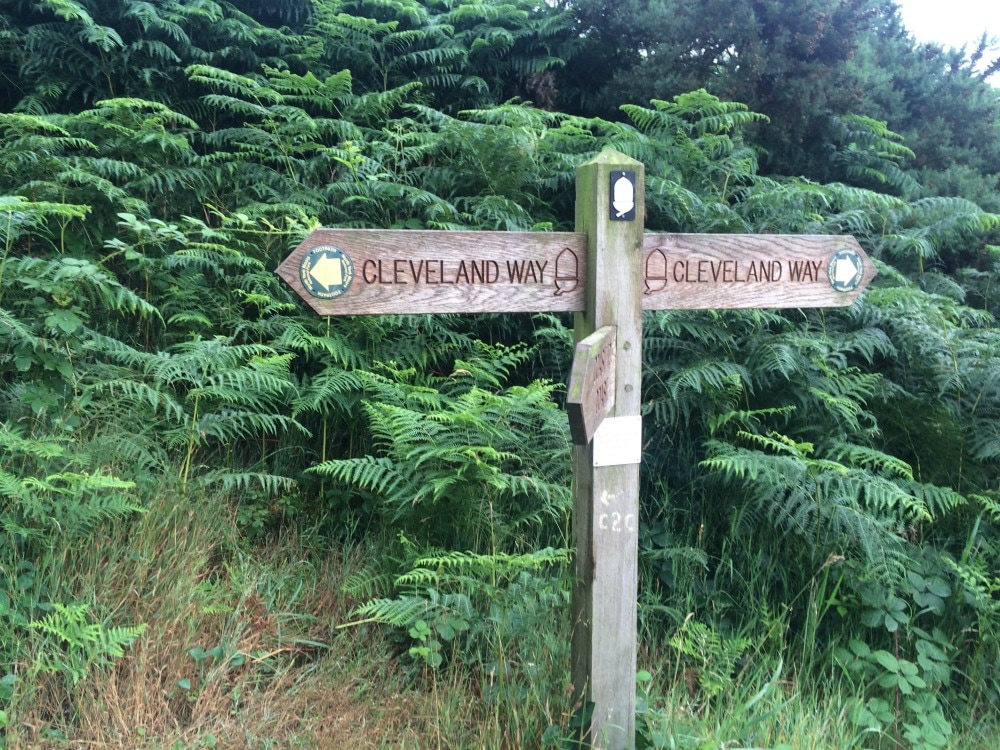
 We reached Clay Bank Top, had our packed lunch and continued up the final hill to Carr Ridge, before beginning a long trek across Urra Moor. We followed the former Rosedale ironstone railway, which mean it was flat and straight. We'd lost the day trippers tackling the Cleveland Hills and were simply two little people plodding alone in a vast, empty moor. At Bloworth Crossing, we had to part ways with the Cleveland Way path to continue on our own journey. At this junction, we met some chaps doing the Cleveland Way and who were carrying all their kit on their backs. They looked as tired as we felt.
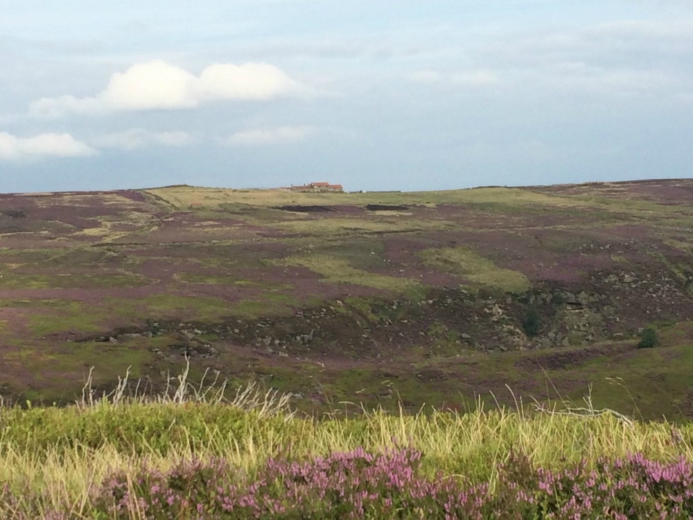
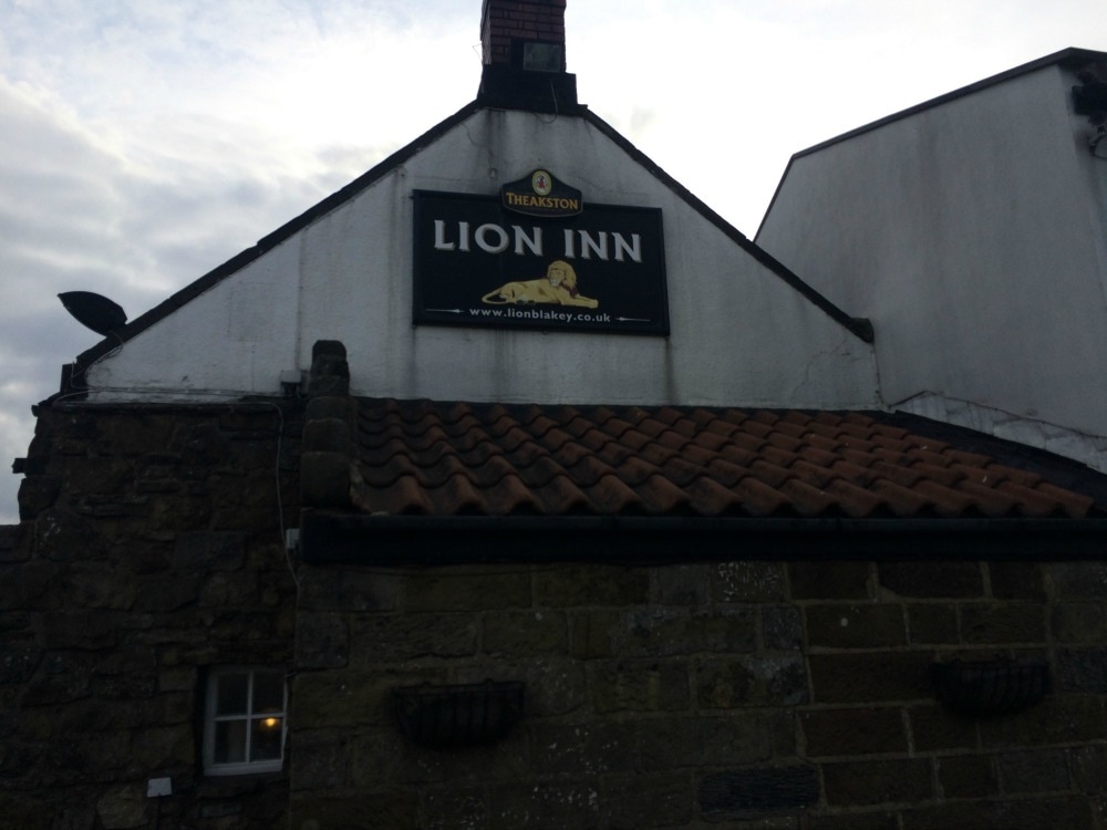
 The wild emptiness of Urra Moor By this point our feet were killing us. The hills had kept our minds off our feet, as we concentrated on getting our lungs to work and our knees to not fail. But mile after mile of straight line walking after all of those hills was tortuous. If you've never walked a long way before, after a certain distance your feet start to burn and feel hot and you just want to get off them. But you know that if you sit down, you will have to stand up again and the pain will not be worth the brief respite. We began to talk about anything we could to take our minds off our feet. We constantly scanned the horizon for a glimpse of the Lion Inn, the only civilisation for miles around and our place of rest for the night. Finally I spotted a signpost that I recognised from a previous walk I'd done in the area and knew we were getting close. And then, like a mirage, the pub appeared on the horizon. Ten and a half hours after setting off in the morning, all those miles and all those hills conquered, we finally made it, just as the sun was starting to sink in the sky.
 The sun starting to set on us
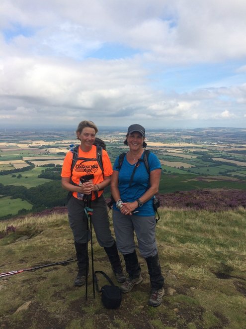
We walked into the pub and all of our fellow coast to coasters, who had taken a different route and who'd had a far shorter day than us, were in the bar. We were greeted with loud cheers and had cold pints of beer thrust into our hands before we could put our backpacks down. These people, who 12 days ago we didn't know and who we weren't particularly keen on when we first met, were like long lost family. We had a jovial meal together eating the biggest steak we could get our hands on. This is what had made all those miles worthwhile. 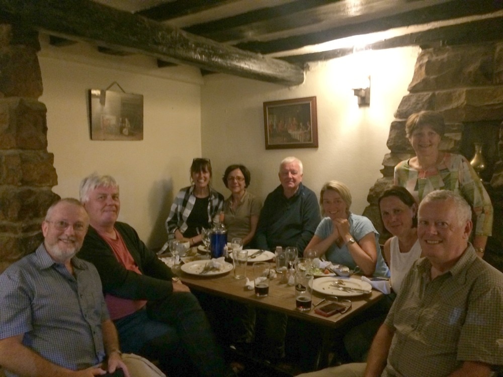 Our happy gang of walkers On to day 13
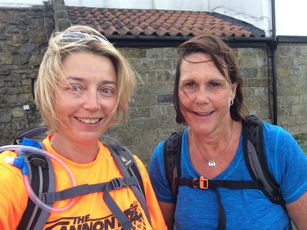
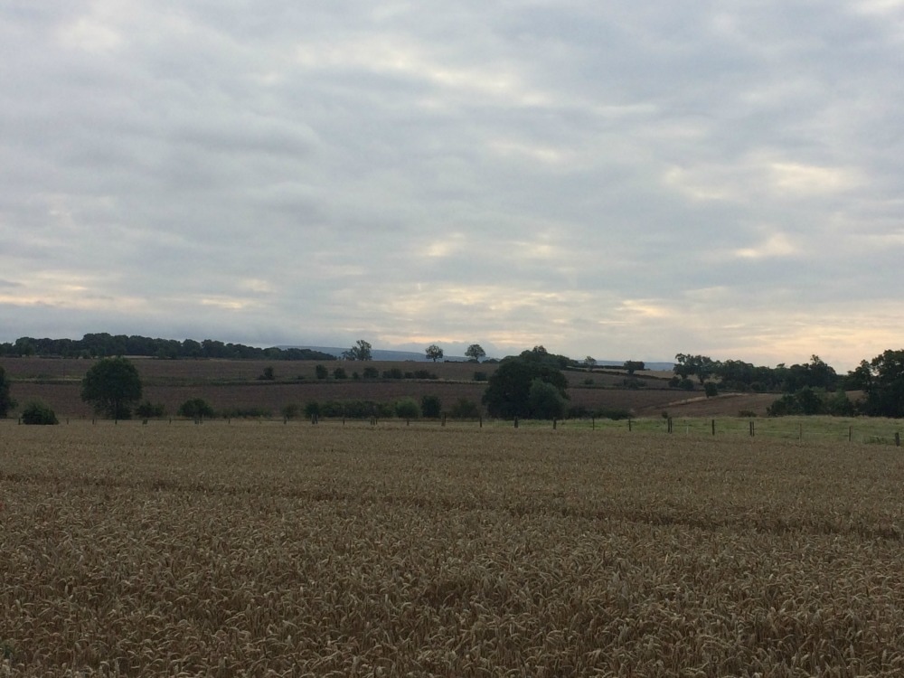
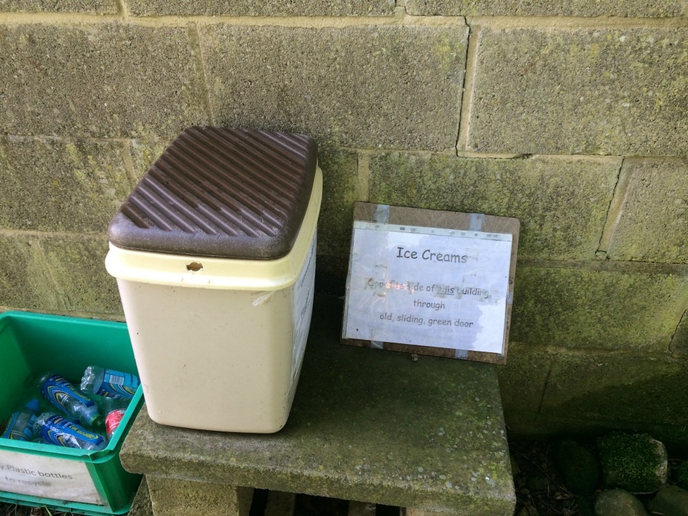
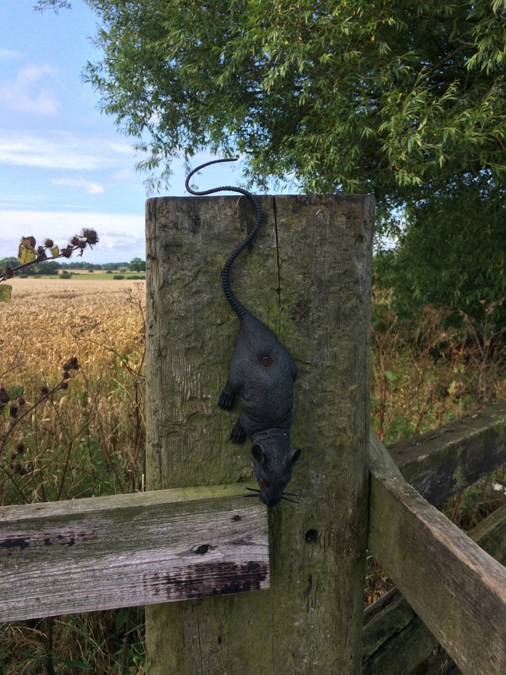
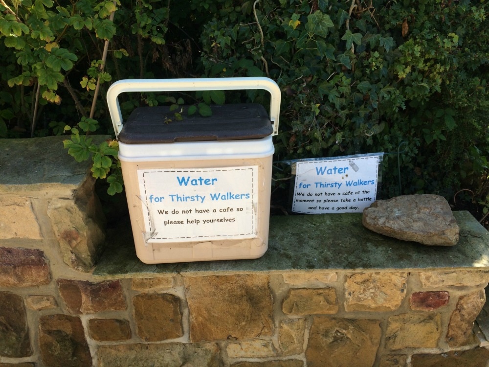
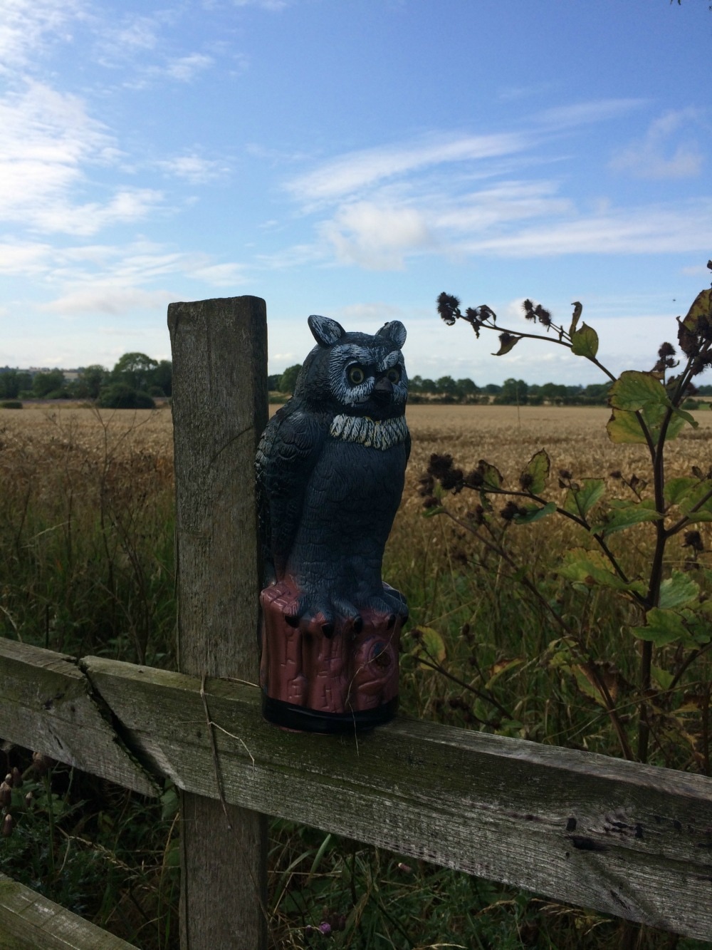
Back to day 11 Back to day 1 How to plan for the Coast to Coast Want to walk the coast to coast? Join the Glamoraks community and find a walking buddy. Distance 10 miles We woke well rested but with sore shins from all the road walking of the last two days. Frank and Doreen pulled out all the stops for us, laying on a full buffet breakfast, hotel style just for the two of us. We felt obliged to eat a lot! Frank had ignored our protestations and had washed and dried all of our kit, as well as cleaned and dried our boots. He said that as we hadn’t let them look after us the night before they were determined that we’d get our money’s worth. What absolutely lovely people. As we stepped out the door, he slipped a cereal bar into each of our pockets as a ‘little treat for the road’. Honestly, they just don’t make people like that anymore. This day was always going to be a slightly weird one. Much like the day before, it was simply about marking off miles. No remarkable features were promised. Fields, more fields, the odd weird farm with plastic rats and owls decorating the stiles that hooted at you as you clambered over, and lots of road walking. We did however, pass several honesty boxes on the roadside, where people had bottles of water and treats for weary walkers. I love the micro economy that grows around walking routes. And we had sunshine! So that's always a good thing and despite the scenery being one of arable farming more than grand vistas, it was still a reminder of what a beautiful country the UK is.
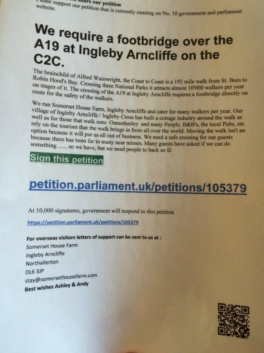
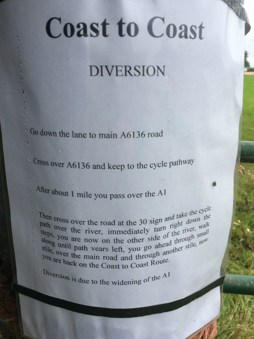
This stretch is obviously the day you have to dice with death, as we had to cross a railway line and dart across the busy A19. There is no over or underpass for walkers and it is for this reason that the Coast to Coast is not a designated national path. There is a long running petition to get some kind of path for walkers to cross the road safely, but I don’t think anything has been done yet. 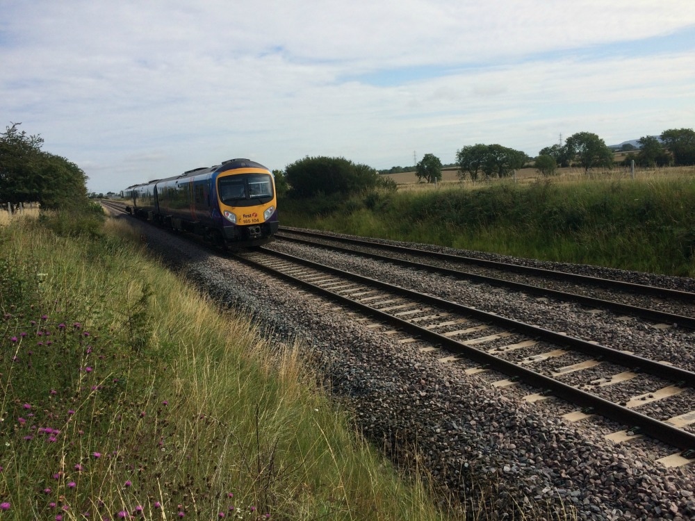
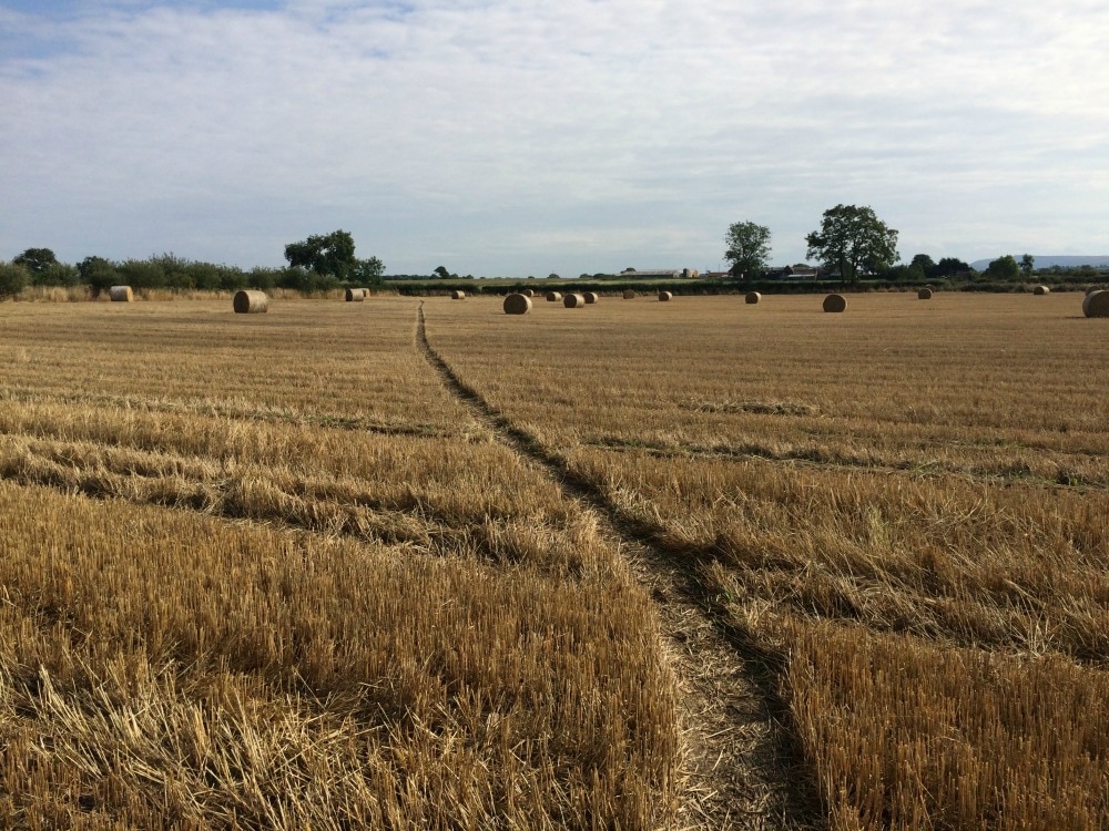
After just 3.5 hours of walking we were there. Annoying. Before we started this walk, if you’d said you had to walk 10 miles we would have thought that was a hefty walk, but now it seemed like we had barely got started before having to stop again. Our guide book told us that if we had time, we should visit Mount Grace Priory, but according to the book, it wasn't opened on a Wednesday, so we had to skip it. Once again we frequented a pub (The Bluebell) to pass the time. After eeking out our pints, we retraced our steps back up the hill to our home for the night, a little annex room in the beautiful garden of a home. While not quite as attentive as the lovely Frank, our host had placed fresh scones and jam in our room, just in case we hadn’t eaten enough. We returned to the pub for dinner – another pie – hoorah – and back again to bed. (In case you're wondering, we wouldn't recommend the C2C as a weight loss programme.....) The next day was going to be the biggest and toughest yet. In hindsight, I might have done this section differently, either walking on to Osmotherley - but that would have meant a 20 minute walk in the wrong direction but still would have put us further along our path than where we were. Or I might have walked from Danby Wiske through to Clay Bank Top and had a big day, but splitting up the mega distance and hill combo that was awaiting us. It gets tricky knowing how to split the trip up but bare in mind that the bit coming up is a series of hills that take no prisoners, so combining it with distance perhaps isn't the smartest move. Most of the other C2C folks didn't stop in Ingleby Arncliffe but soldiered on, making day 12 less arduous than the one we were about to have.
On to day 12
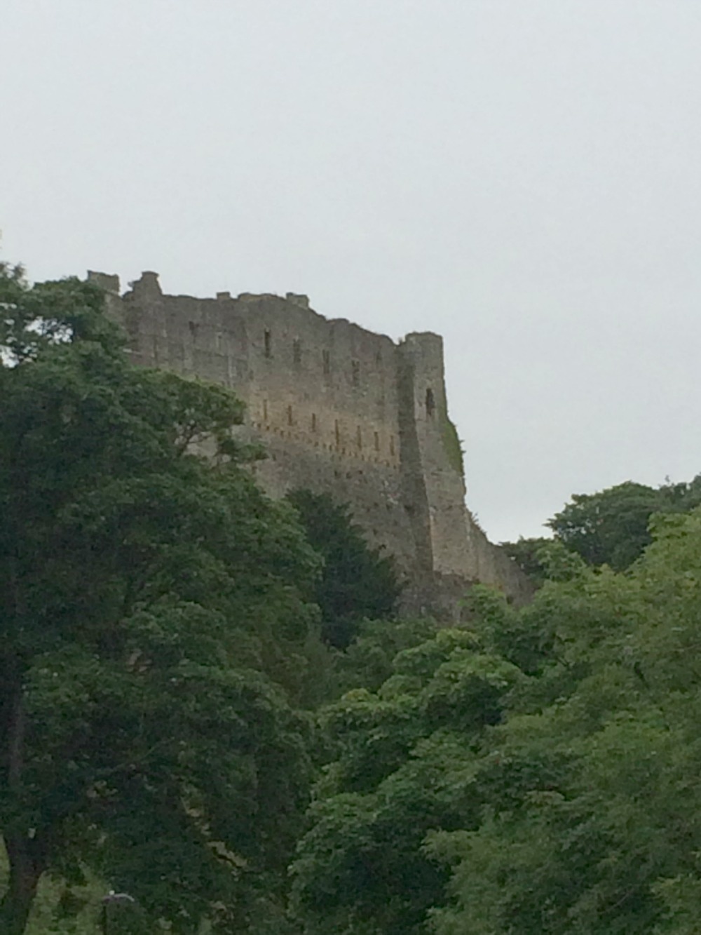
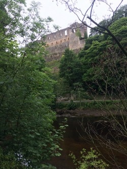
Back to day 10 Back to day 1 How to plan for the Coast to Coast Want to walk the coast to coast? Join the Glamoraks community and find a walking buddy. Distance: 12 miles Now very well rested and marvellously fed on boiled eggs and many other delights at what must have been our poshest breakfast yet, we headed out. First stop, the pie shop on the market square. We had been told that the pies were legendary so we felt we had to see what the fuss was about. With the smell of the warm pie wafting from our backpacks, we set off out of Richmond, past its imposing castle set on the river Swale. We followed woods and crossed the first of many roads, before more woods near Catterick Garrison.
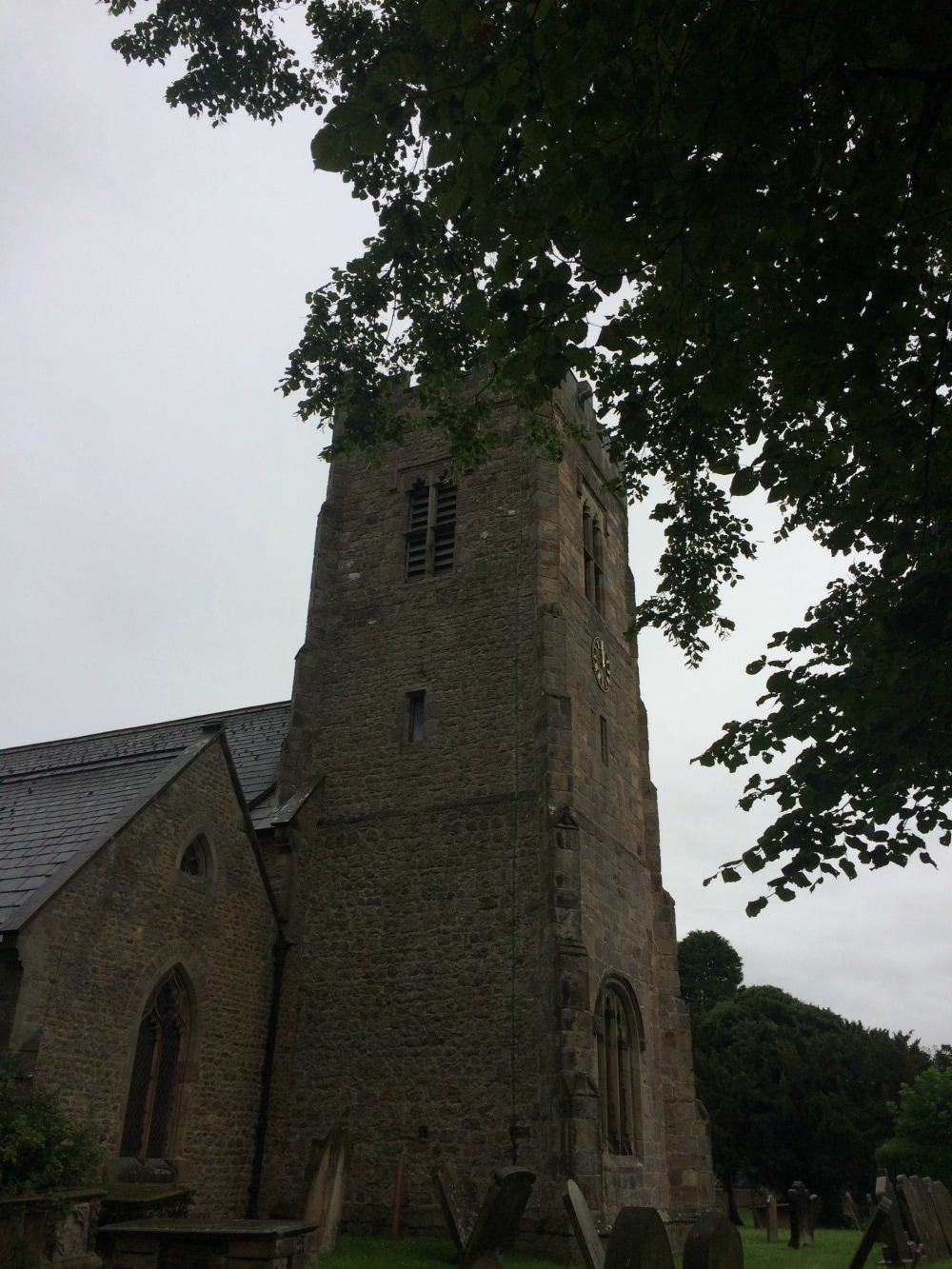
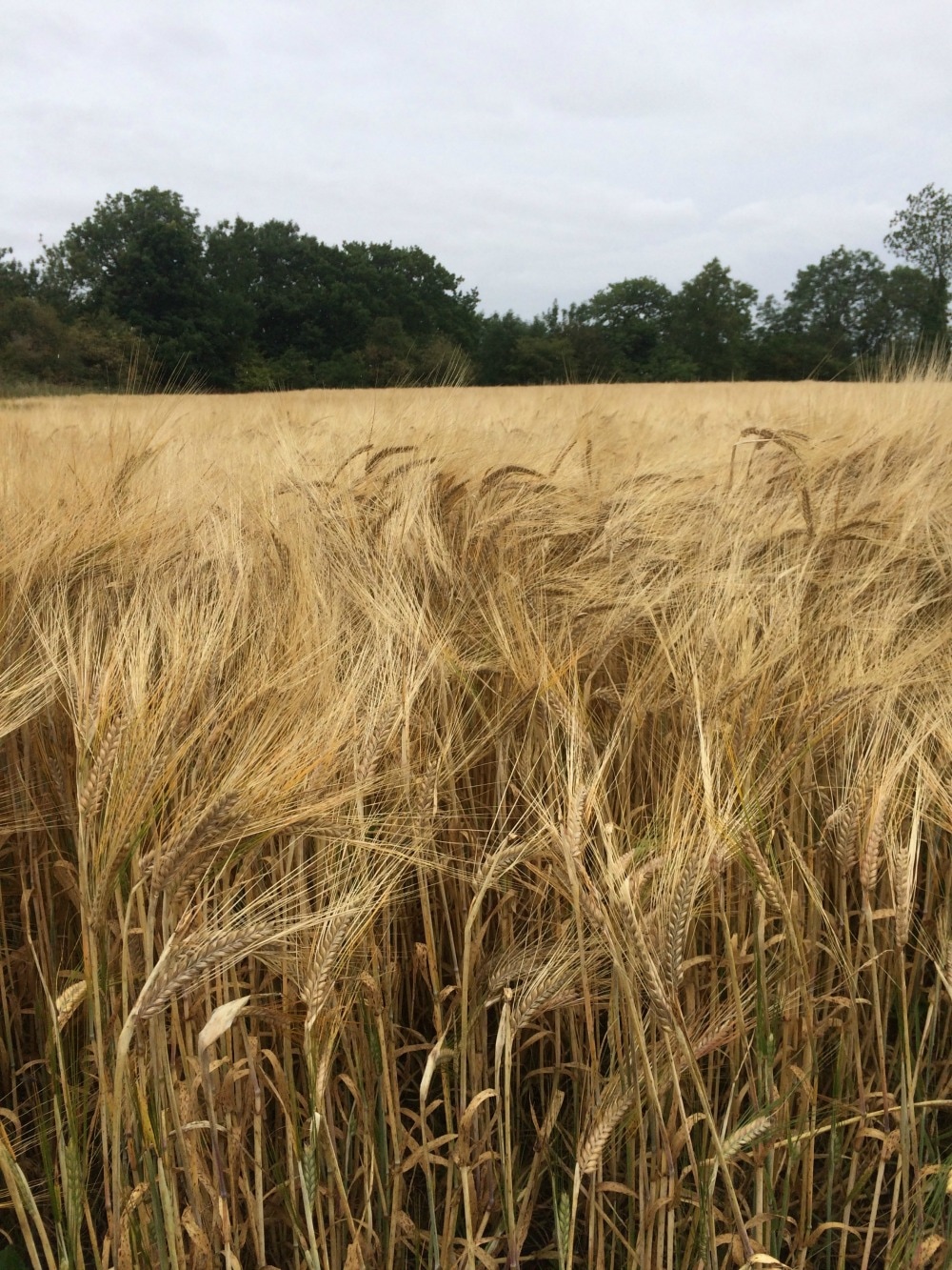
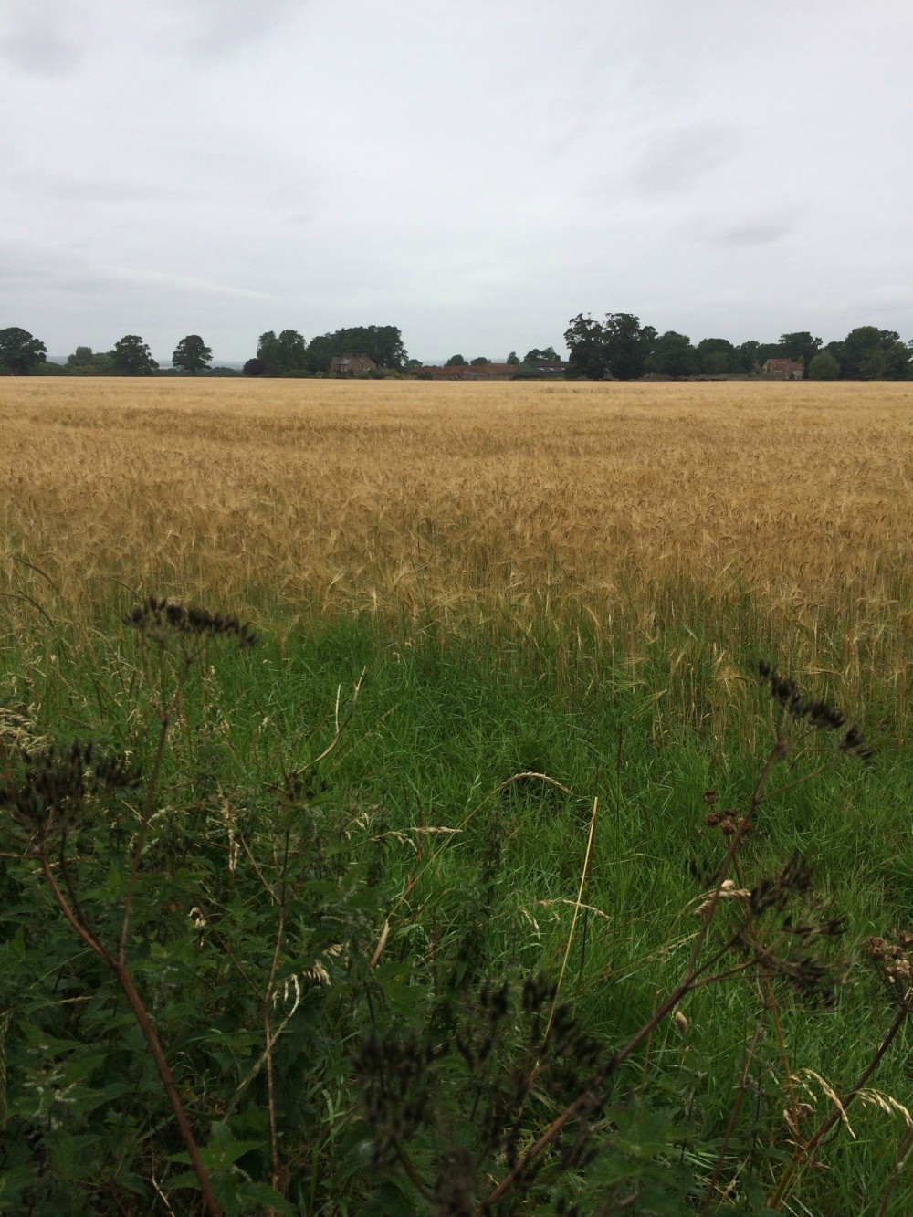
After walking in glorious countryside it is always a shock to be faced with traffic, people and noise, so we weren’t too delighted with a diversion that took us past extensive roadworks crossing the A1. At last we left the noise behind and got to peaceful Bolton on Swale. We didn’t stop for tea at the church, which was on offer, but kept going through fields of waving wheat.
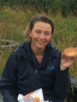
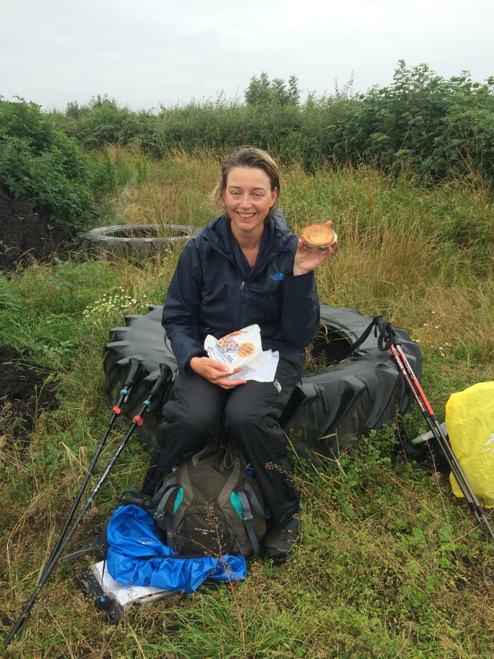
The sunny morning had given way to rain and it got increasingly wet. Deciding it was time for another wet lunch, we found an old tractor tire in a field and sat on it, munching our pies. They were everything they were cracked up to be (The Noted Pie Company, Richmond, should you be a pie aficionado). As always, the best lunches are those sitting outside with rain pelting your hood. However, we didn’t linger. We bid farewell to our field and followed a long and fairly dull road to the village of Danby Wiske.
I should say that this portion of the walk is something you just have to get across. You don’t have the glory of the lakes or the prettiness of the Dales or the starkness of the North Yorks Moors. It’s just the bit you have to walk across to carry on. It’s also really difficult knowing where to break up your journey. We could have walked on to Ingleby Cross instead of stopping at Danby Wiske, but that would have made for a 22 mile day. In hindsight, perhaps that would have been a better option, but then we would have missed out on meeting some of the nicest people on our journey. So we stopped in Danby Wiske, but as we got there not long after lunchtime, we were a bit lost as to what to do with ourselves. The one and only pub wasn’t quite open as the owners were away. The person looking after the pub did let us in and served us a pint, but we couldn’t really over stay our welcome, so we shuffled off to our accommodation for the night. Now when you book your accommodation for the C2C, you can book most of it online. But in Danby Wiske there is only one place to stay if the pub is closed, and that is in the home of Frank and Doreen. They don’t do the internet. To book I had to do it the old fashioned way and call and talk to them. Frank assured me on the phone that he would take good care of us. And bless his cotton socks, he did. We arrived and he was so excited to see us, like going to see your grandparents. He fussed over us, insisting on taking our wet kit and promising to wash and dry it all. We were adamant that he shouldn’t trouble himself but he shushed us out and showed us our room, which was lovely. He offered to drive us to the next village for an evening meal but we said we had stocked up on provisions the night before in Richmond and that all we really wanted was to lie in bed and watch some telly. So he left us be and we had a lazy lie in – just what we needed as 10 days of walking was starting to make itself known. 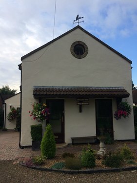 Our home for the night On to day 11
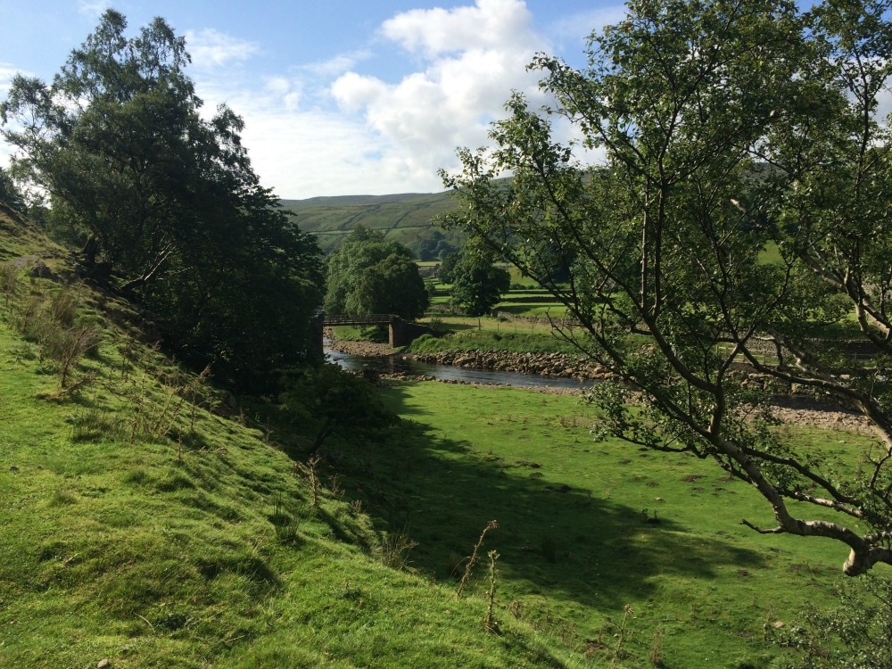
Back to day 9 Back to day 1 How to plan for the Coast to Coast Want to walk the coast to coast? Join the Glamoraks community and find a walking buddy. Distance: 10.5 miles We knew that this was just a short, easy walk leaving us plenty of time to explore the delights of Richmond. The funny thing about the Dales stretch of the C2C is that one day just seems to roll into the next. The scenery is idyllic, but very similar day after day. River. Tick. Stone barns. Tick. Pretty bridges. Tick. As a result, it’s hard to remember what each place looked like. But we weren’t complaining as we set out on yet another sunny day. We’d had just two properly rainy days so far, which was pretty impressive. And besides, there is something so incredibly lovely just walking, step after step, through scenery that looks as though it has been painted. You get in a rhythm and breathe in contentment.
We walked on past Marrick Priory, climbing the Nuns Steps, which funnily are steps that were built by nuns walking to the priory. Then climbed Applegarth Scar which gave us views towards Richmond. Other than passing a giant Coast to Coast sign in the village of Marske, there wasn’t too much remarkable about this stretch. Just a lot of road walking. Until you’ve walked long distance, you will not realise how evil tarmac is. You’d think it would be nice and flat and even and easy. But it’s not. It’s hard and hot, so that it makes your feet start to burn.
 Views to Richmond 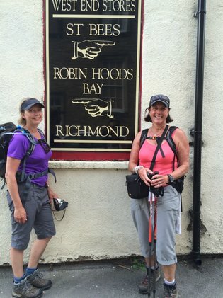 By lunchtime we were in Richmond. After lunch on the town square we found our very posh B&B – Willance House. We thought we’d just rest a while before going out to explore, but instead we fell asleep reading James Herriott and woke up in time for evening. I guess we needed that sleep! We found a lovely Italian restaurant, ate some much needed salad, washed down with carbonara and excellent wine (our diet programme was working well). There’s not much nightlife in Richmond, so besides a short stop at a co-op for some provisions, we went back to bed! 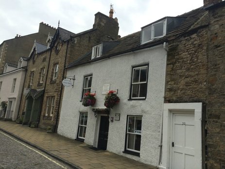 Our posh guest house On to day 10
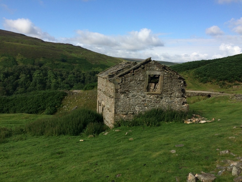
Back to day 8 Back to day 1 How to plan for the Coast to Coast Want to walk the coast to coast? Join the Glamoraks community and find a walking buddy. Distance: 11.5 miles Today we were faced with a choice again – the high route (more climbs but shorter) or the valley route (flatter but slightly longer). The book described the valley route as the more scenic of the two, so we plumped for that. Our bodies felt as though they had been walking solidly for eight days. By now we should have been feeling fitter, but we mainly ached. However, we were suitably revived by an excellent breakfast and knew we didn’t have too far to go. We bid farewell to a young, super fit couple who were walking the Pennine Way and continued on with the Aussies who had been staying at our B&B. Our early animosity towards them had waned as we got to know them better. We spent an insanely pretty morning alongside the Swale river, looking at tumble down stone barns and pretty wild flowers. Every step was another 'oh wow, how gorgeous' moment.
Diverting off our path, we popped into the village of Muker that used to thrive on lead mining in the local area, but now survives on all things wool from the swaledale sheep that populate the area. We popped into the community run wool shop and bought a few knick knacks as these tiny places rely on walkers to stay afloat. 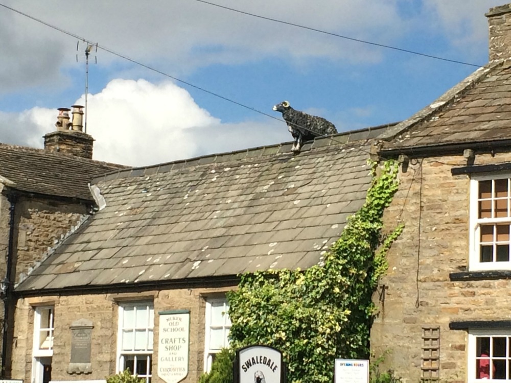 Can you guess what they sell here? We left the pretty village behind us and continued, following the peat coloured water. We stopped in Gunnerside for a picnic lunch, and said farewell to the Aussies who decided on a pub lunch. As we left our lunch spot, we passed old Keith again, the elderly man walking on his own. He seemed to pop up unexpectedly and we could never quite fathom how we got ahead of us. After a chat with him, we carried on chatting away, not concentrating on where we were going. We suddenly came about a farm house that looked like something out of a horror movie. The directions in our book seemed to steer us through what looked like old animal pens, which were littered with evil looking hooks and old bits of farming equipment. It was spooky. We readily agreed that we had gone wrong and scarpered before a psychopath turned up. But despite that slightly weird moment, the rest of the walk was just more picture book prettiness set against a brooding sky.
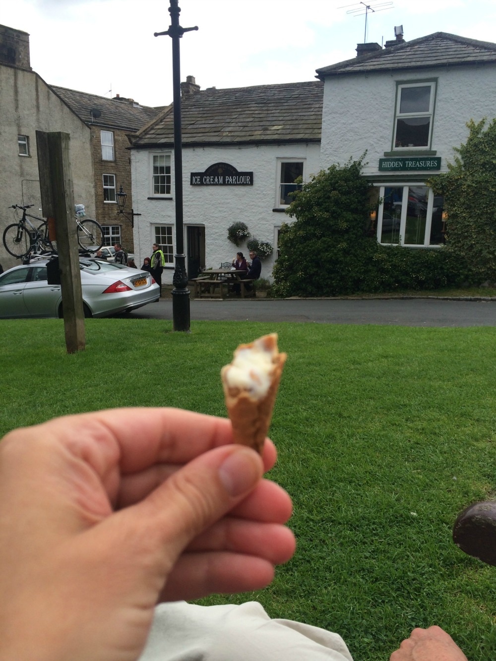
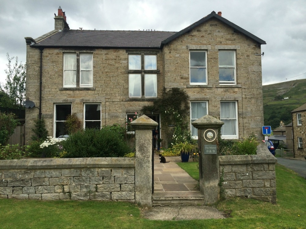
As a result of our little detour, we ended up walking 15.5 miles instead of 11. Once again, we were tired and very much in need of the delicious ice cream we found in Reeth. And who should be sitting on the bench eating an ice cream, but old Keith. Even with our small foray into the farm of the damned, we couldn’t believe he could have beaten us there. So we asked him how he did it. He silently put up his thumb and continued licking his ice cream. So that’s how you coast to coast in your 80s. You just hitch a lift when your feet get tired. I was tempted to try it myself. We found our way to another very lovely B&B – the Manse Inn – where we were offered complimentary tea and cake. I declined because despite walking miles every day, we were clocking up even more calories. A leisurely shower, a quick look around this James Herriott town, another meal out at another pub (the Buck Inn) and more chatting to our fellow coast to coasters who we now knew really well, and it was back to bed for two tired girls.
On to day 9
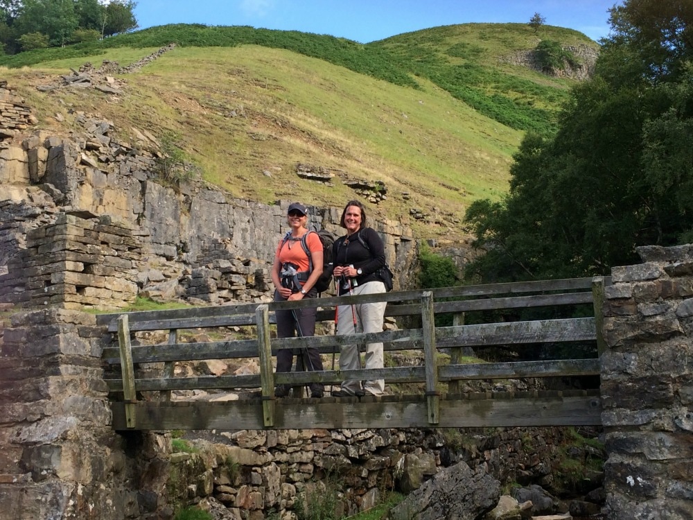
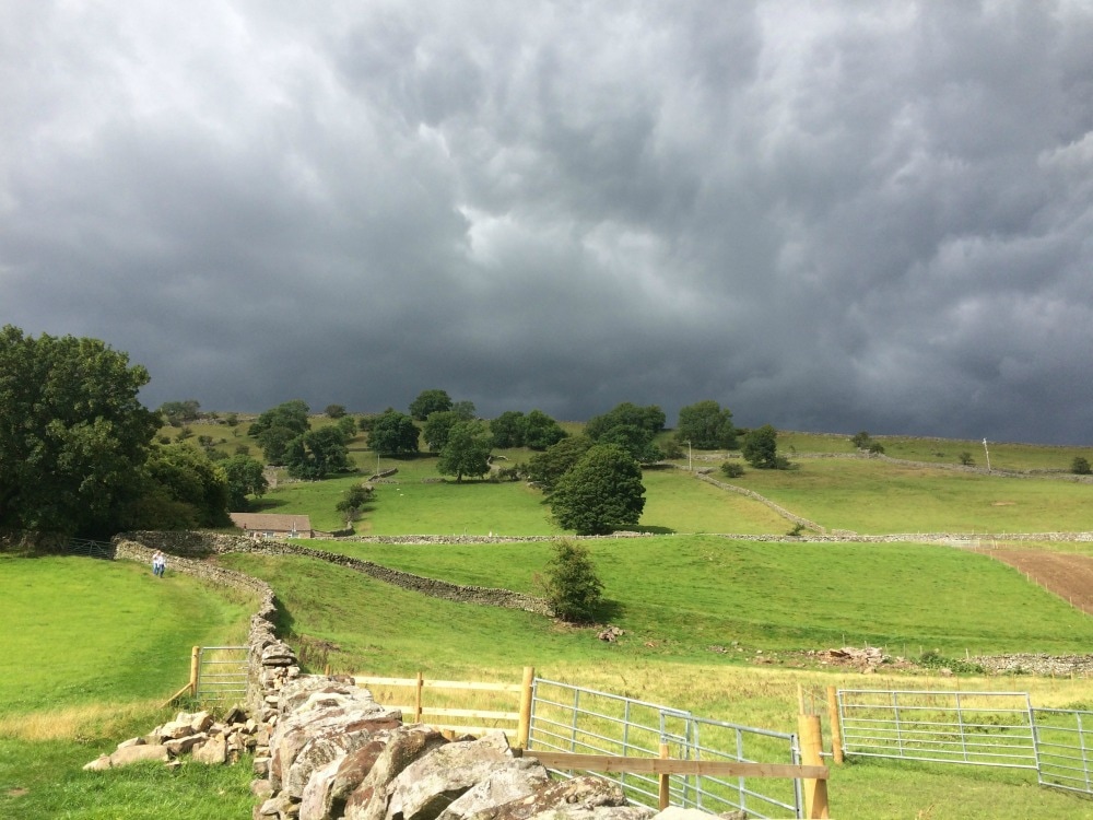
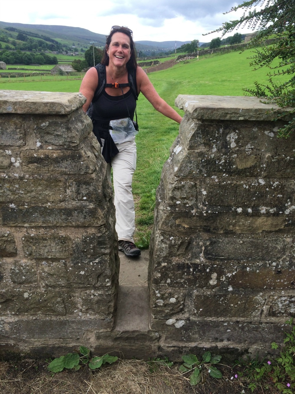
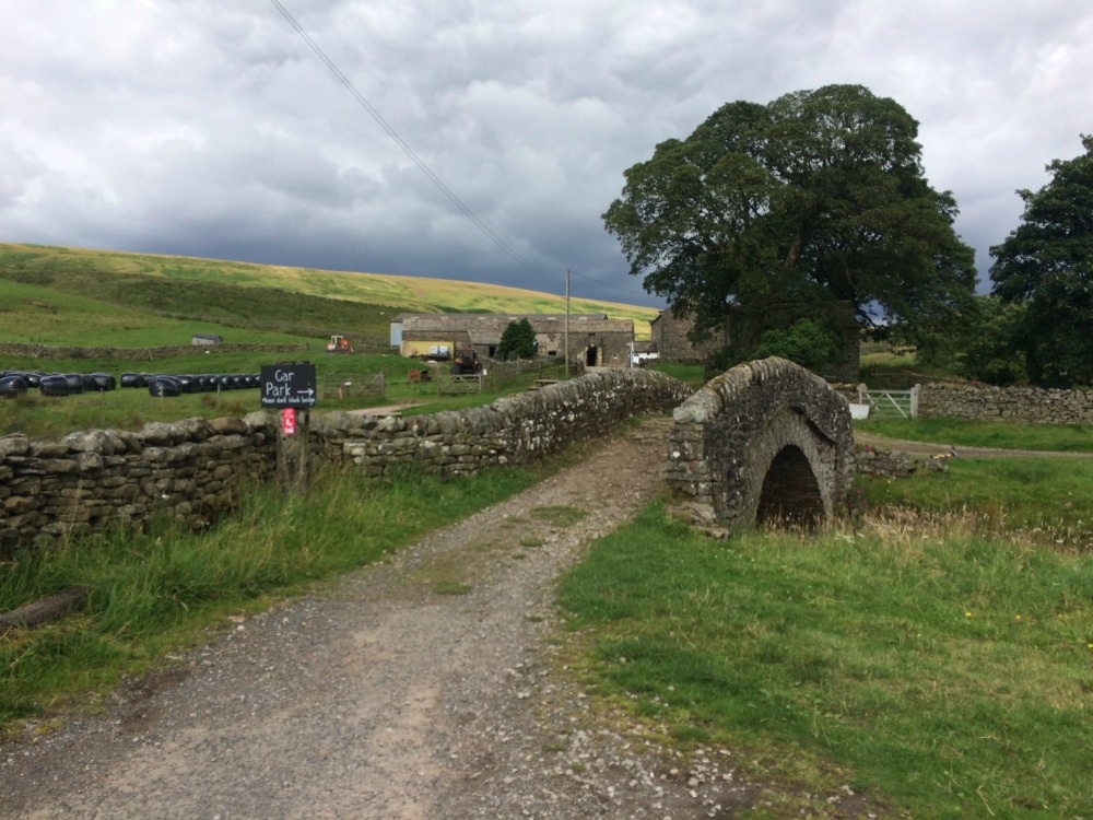
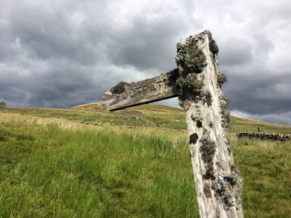
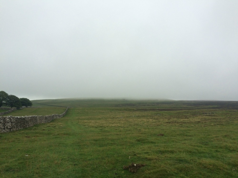
Back to day 7 Back to day 1 How to plan for the Coast to Coast Want to walk the coast to coast? Join the Glamoraks community and find a walking buddy. Distance: 13 miles A sunny day! What’s more, a noteworthy day as we’d be crossing the Pennines and entering God’s own county – Yorkshire. We began our day with what was now becoming a very familiar, yet very tedious routine. Unpacking, repacking, apply lotions and potions, filling water bottles, restocking snacks, applying the next stop’s label to the bags for the bag collecting fairies…. After a light breakfast of cereal, we bid Denise a cheery farewell and headed off across Frank’s Bridge and towards the village of Hartley. At a junction in the village, we paused to look at our map, when the window of a cute cottage in front of us was flung open and a woman leaned out saying, ‘It’s that way.’ Obviously she was very used to seeing coast to coasters scratching their heads at that particular spot.
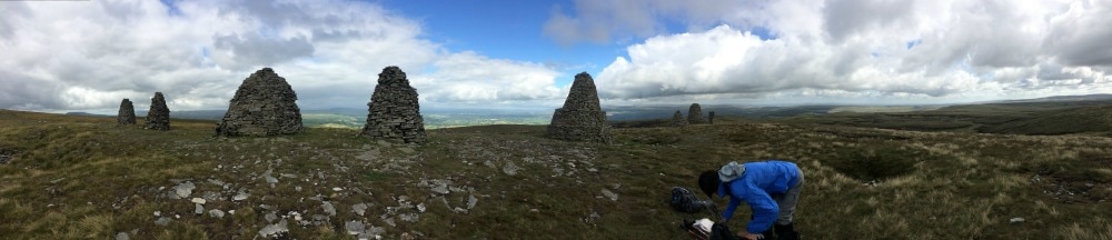
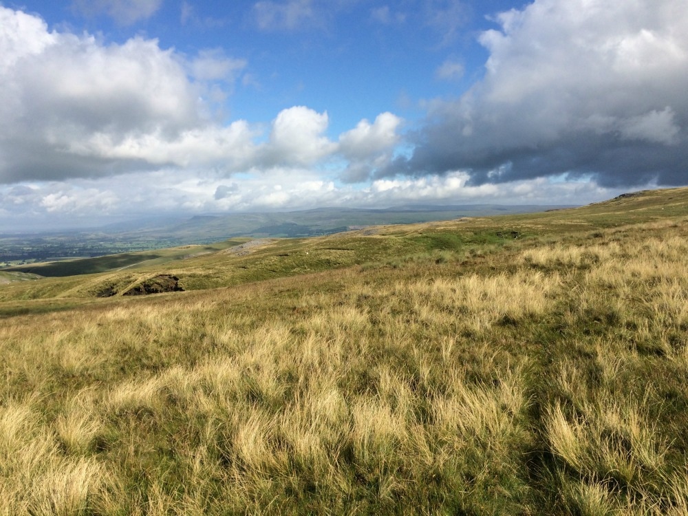
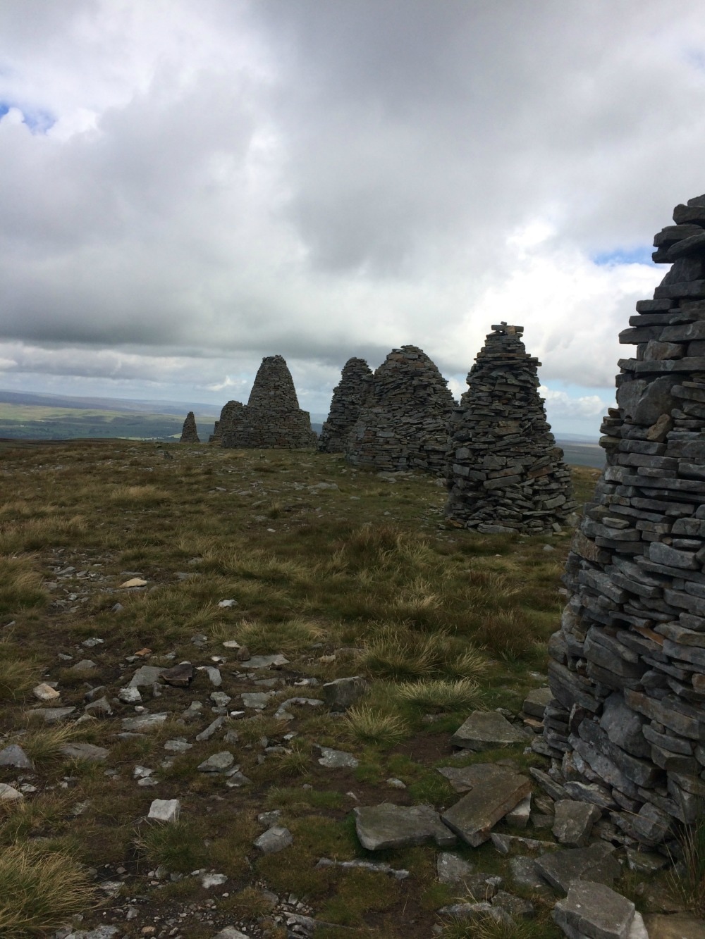
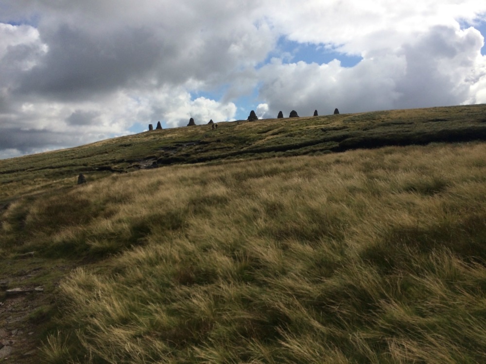
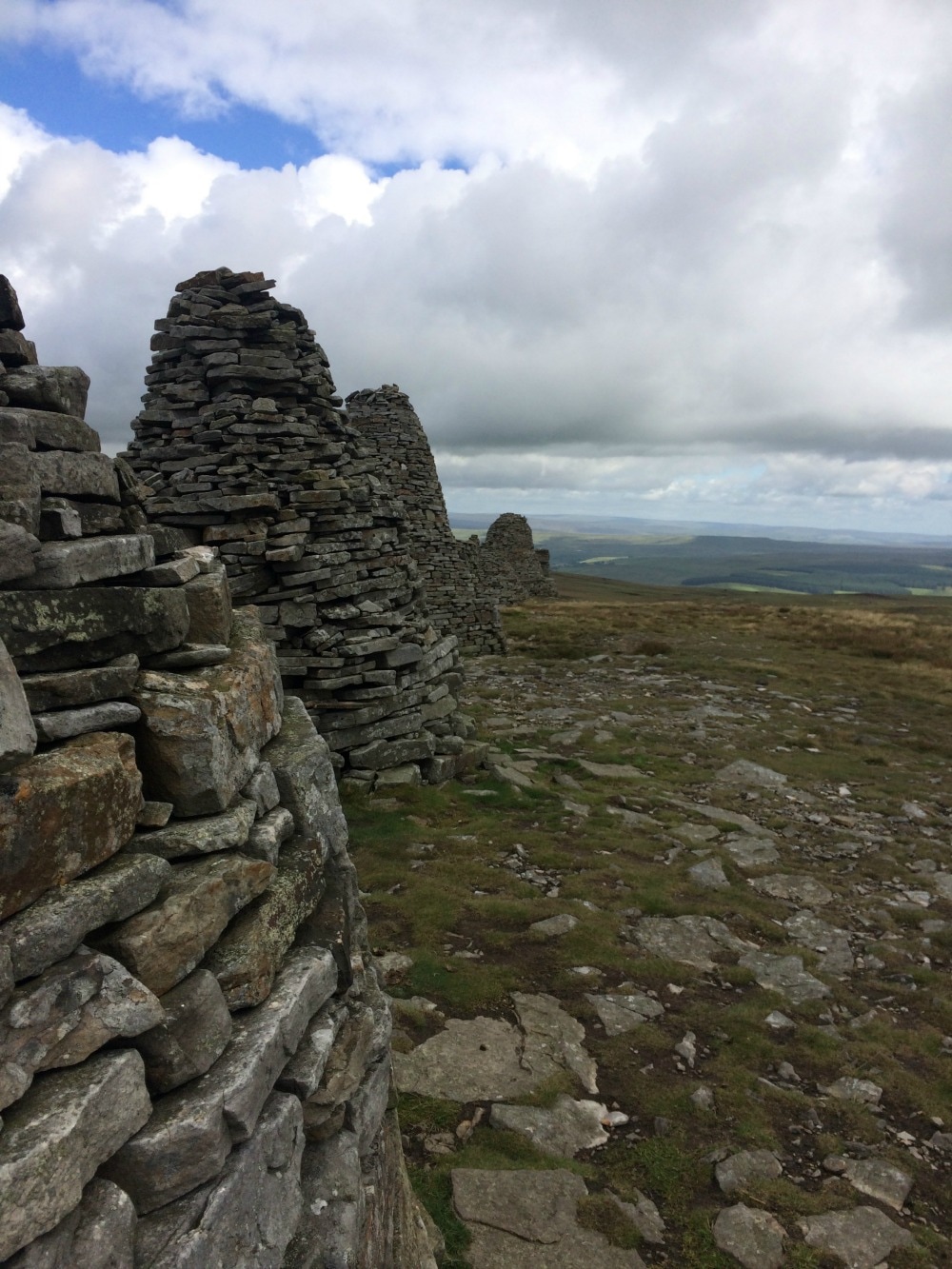
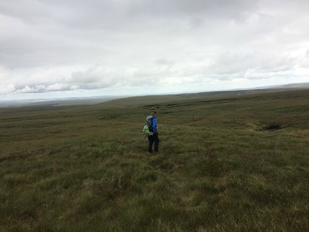
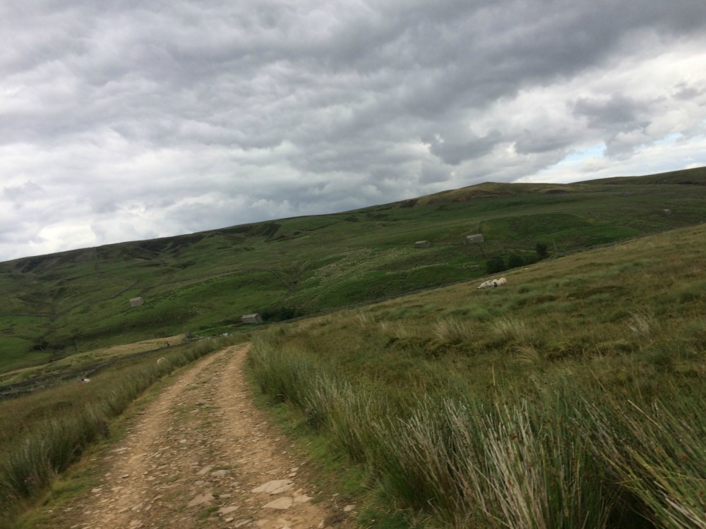
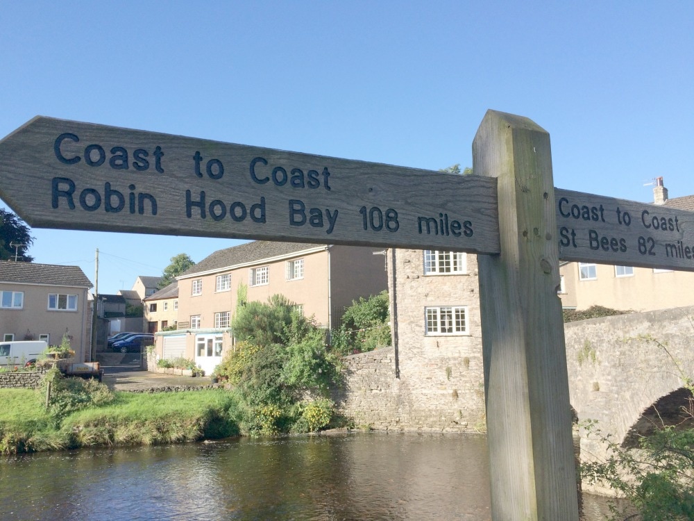 Crossing Frank's Bridge - only 108 miles to go! We commenced an immediate 4 mile uphill climb, during which we were overtaken by a sprightly chap in his late 80s and his little dogs. We were breathing out of our eyeballs, but he sauntered past in his tweed jacket without breaking a sweat. Feeling suitable pathetic we soldiered on, admiring the expansive views over the fields we'd walked the day before. Ahead of us loomed the nine standards rigg, nine huge stone cairns that you can see for miles around. I have no idea why they are there or which fool got all the stones there, but they make a very lovely feature. The views from the top were spectacular and we could see the weather rolling in. It looked wet, so we donned our wet weather kit again and headed off across the peat bogs.
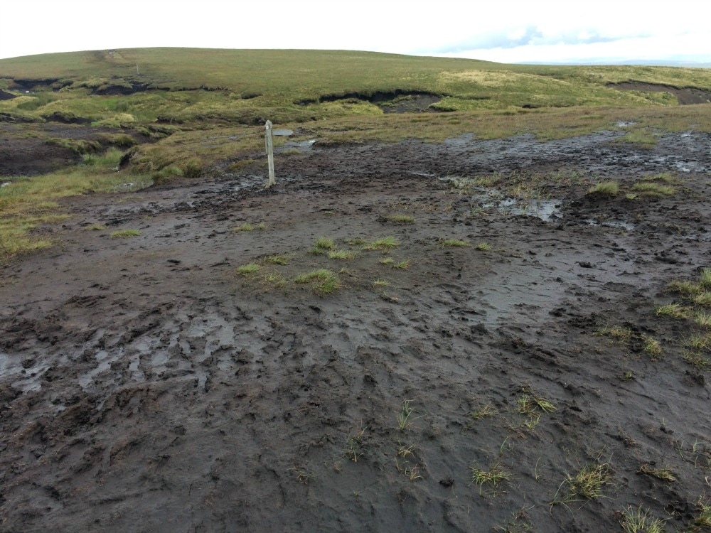
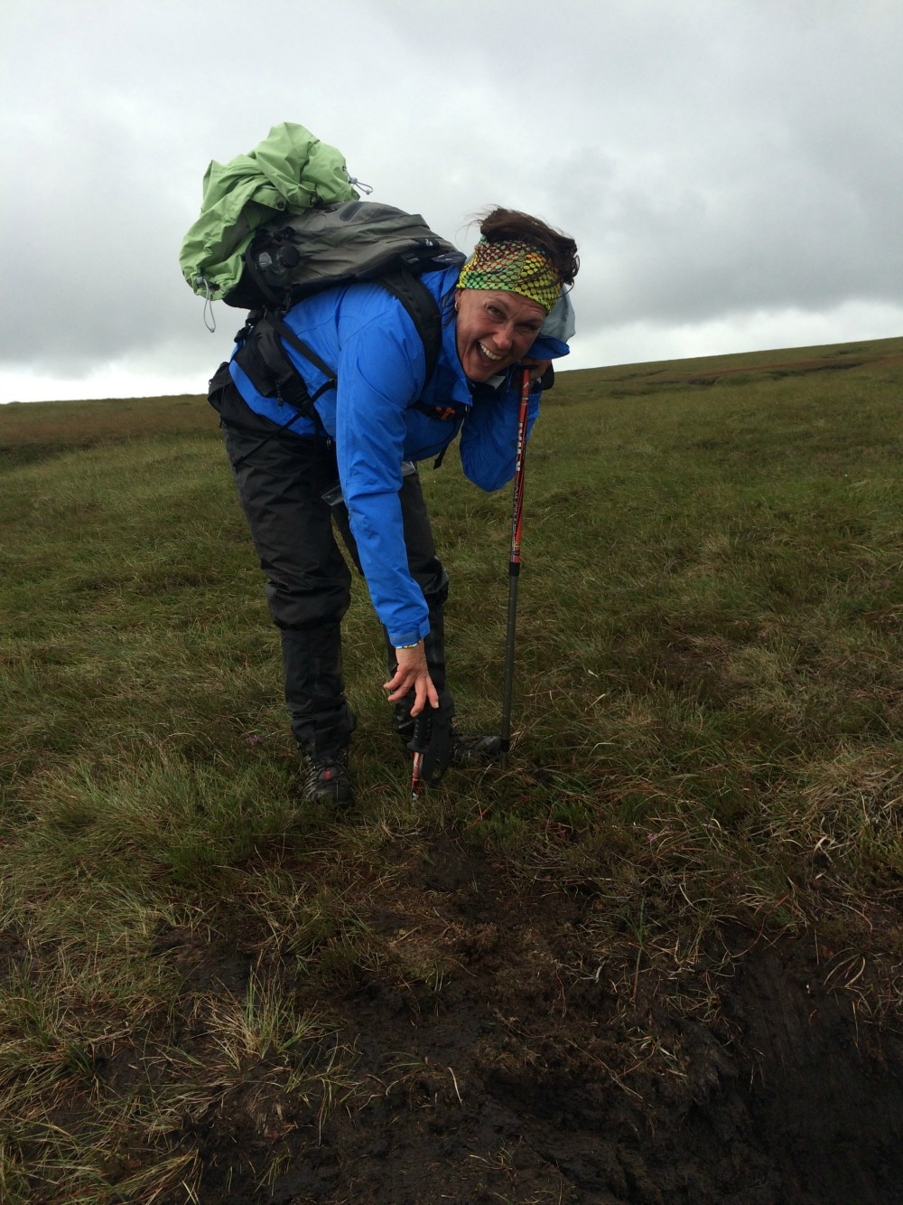
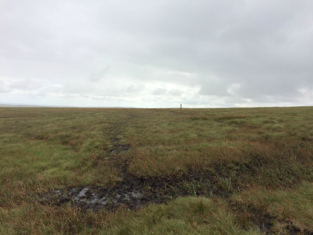
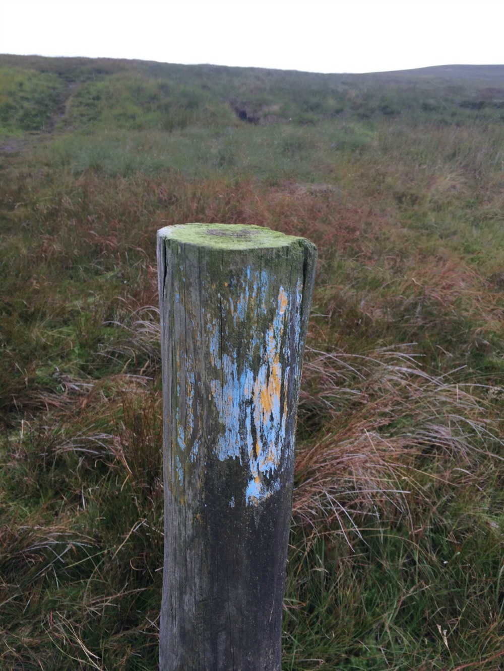
 We were warned about the bogs, but nothing can prepare you for quite how boggy the top of the Pennines can be. We’d put our poles down, tentatively feeling for depth and several times would sink down to the handle of the pole. It became a game of finding tufts of grass to hop onto. The problem was that not all grass is created equal and some ‘grass’ was actually some kind of strange bog weed that floats on puddles. Suffice to say we got very wet and very muddy but we laughed a lot. Finding our way also proved challenging as the marker posts were few and far between and when you did find one, there was just the faintest trace of blue paint to let us know that we were indeed on the right path.
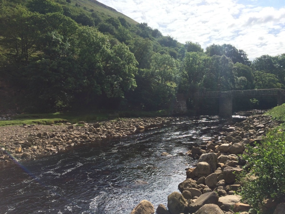
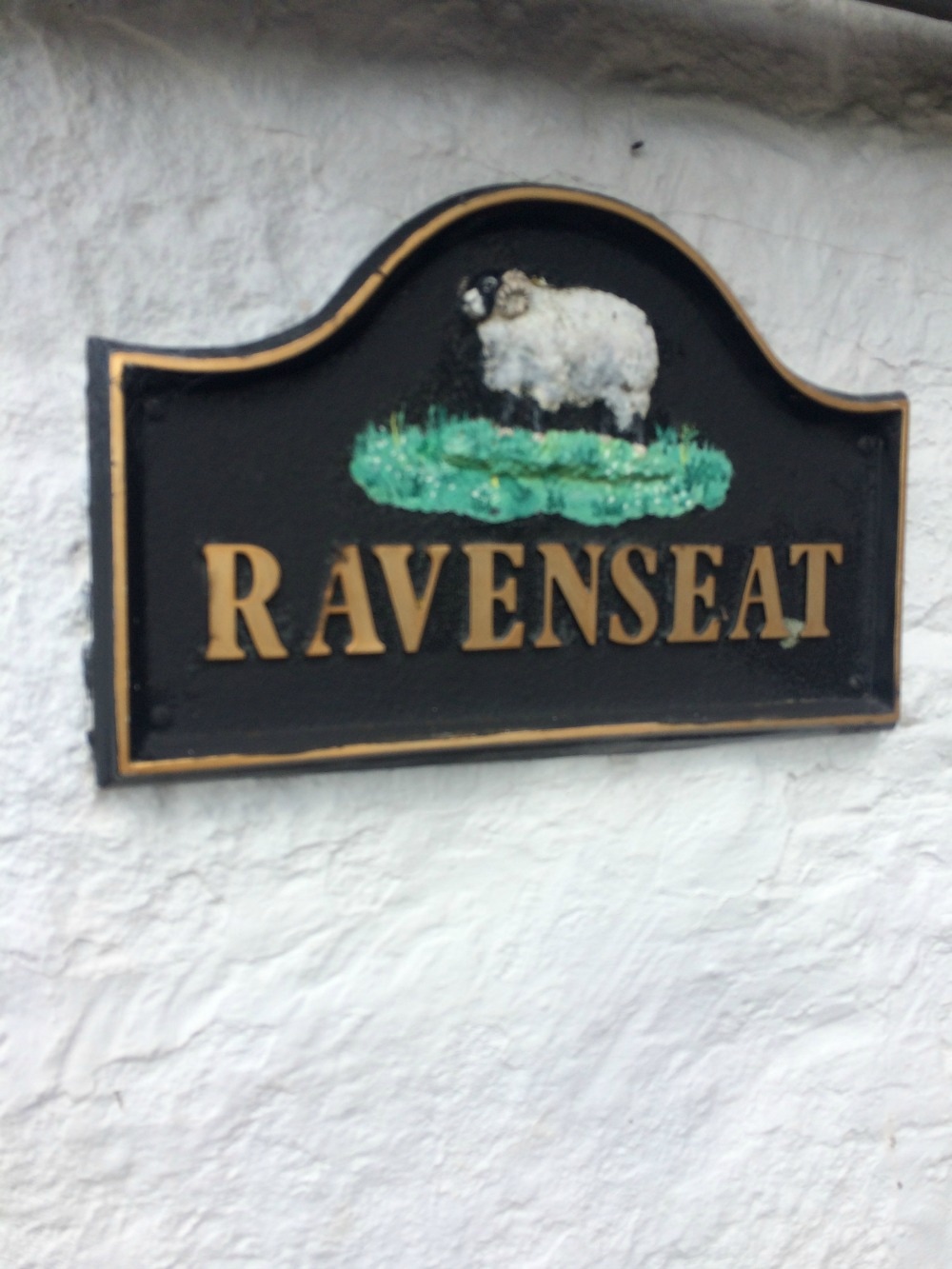
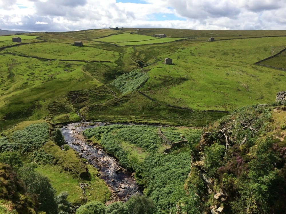
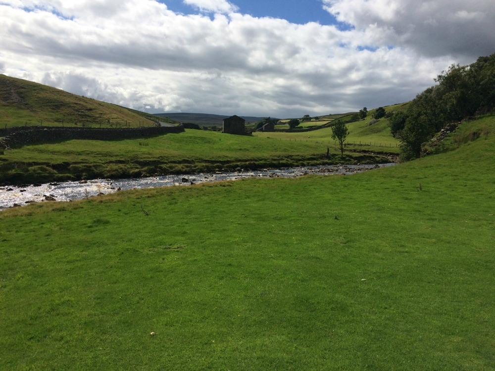
Finally we escaped the bogs and walked alongside the river Swale, where we chose a pretty, but bitey spot for lunch. A swarm of midgey things attacked us, so we ate fast and kept on moving. A short walk later we stumbled upon what has got to be the most idyllic spot in the UK. Ravenseat Farm, is home to the Yorkshire Shepherdess. You may have heard of her and her brood of about 10 children. But we hadn’t.
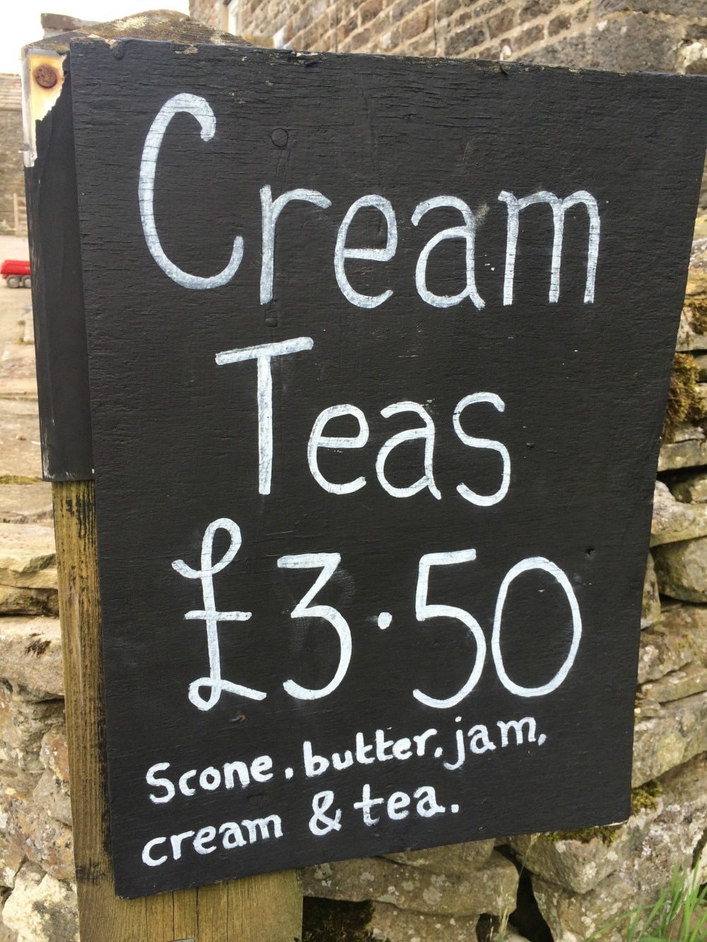
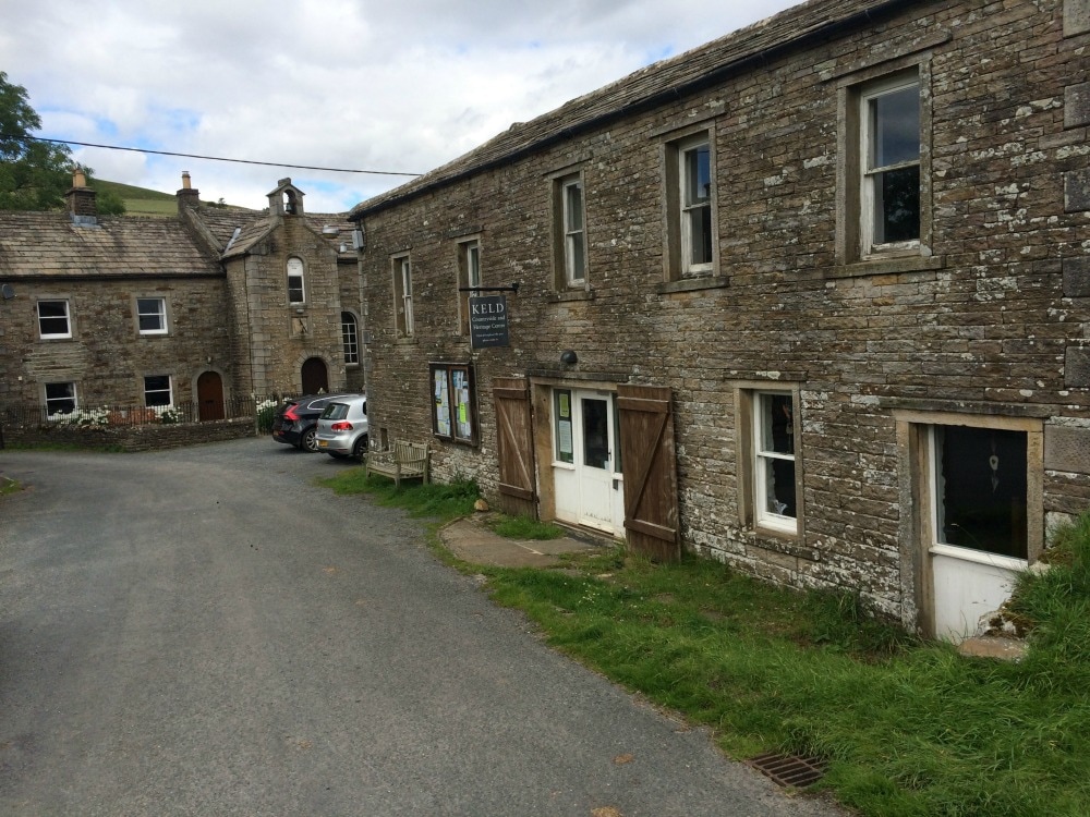
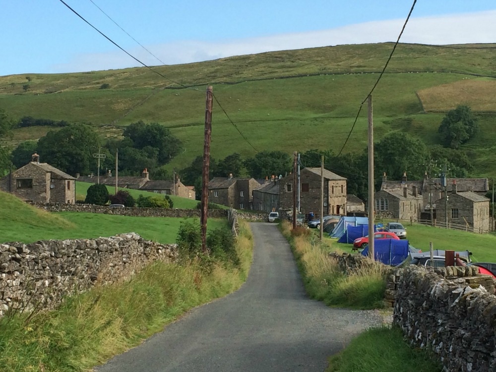
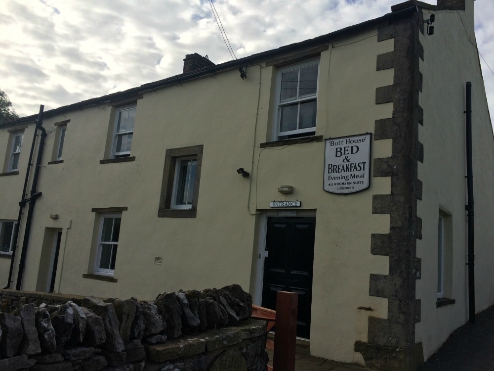
So we arrived at this farm, with a bubbling brook running through the grounds, and scores of children from the age of 10 to 2 playing amongst the hay bales. Barefoot and completely without parental supervision, the older children gently looked after the littlest as they waded through the stream and played catch. It was exactly what childhood is meant to be. We were entranced, so we rang the old fashioned bell outside the kitchen door. Another child greeted us and asked us if we’d like scones and tea. We said yes please, feeling very much as though we’d stumbled into an Enid Blyton book. We took a seat at one of the benches, enjoyed the sun and watched the children cavort, while we tucked into delicious, warm home made scones with jam and cream. It is the simplest things that taste the best. You can keep your Michelin starred restaurants. Give me a squashed egg mayo sandwich in a field and a scone with jam and cream on a bench, and all is well with the world. 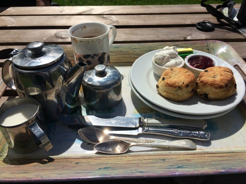 We bid the farm a sad farewell and continued a very pleasant walk along the river Swale, passing countless stone barns. The river widened and was dotted with waterfalls, before we arrived at Keld, a village that time forgot, with quaint stone buildings dotting the narrow road. Two very handsome farmers went past on quad bike, sheep dogs perched in front of them. We decided we liked Keld a lot. Our B&B for the night – Butt House – was gorgeous. Our room featured a deep bath, with bath salts, an absolute treat to have a soak. We adjourned to the cosy sitting room, to read books and journal before joining our fellow walkers - including the Aussies - for a joint dinner. It felt vaguely reminiscent of a Christmas dinner with long last family members. A feast of food was served including delicious rhubarb crumble, and plenty of wine consumed. Our beds with plump duvets and comfy mattresses had never looked so inviting. We slept well and actually felt like we were on holiday!
On to day 8
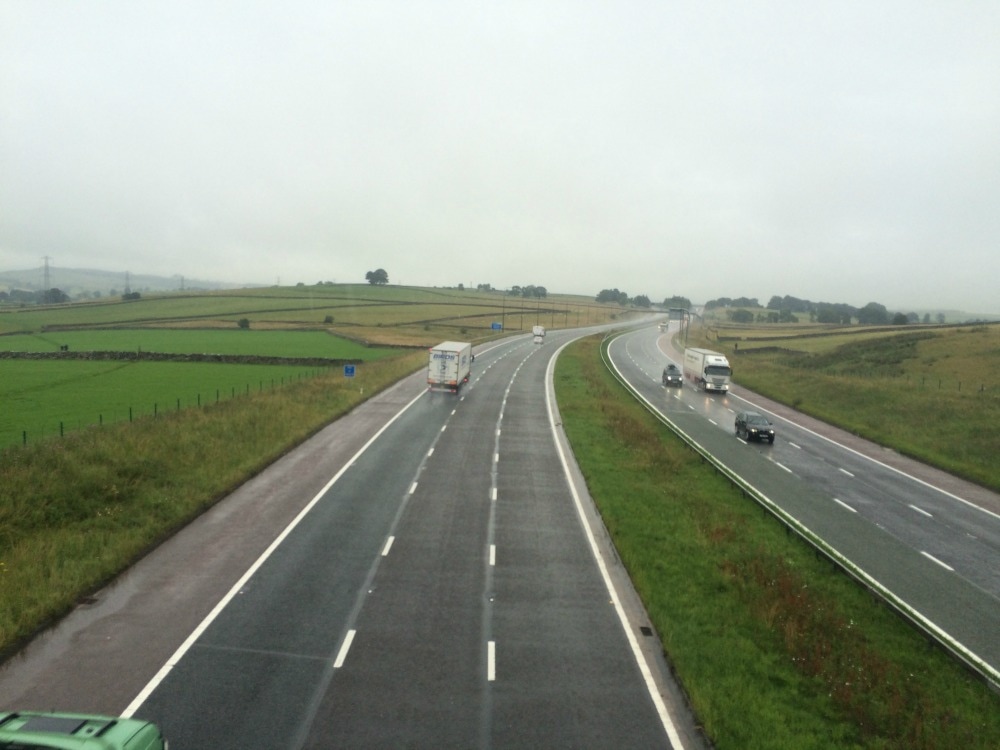
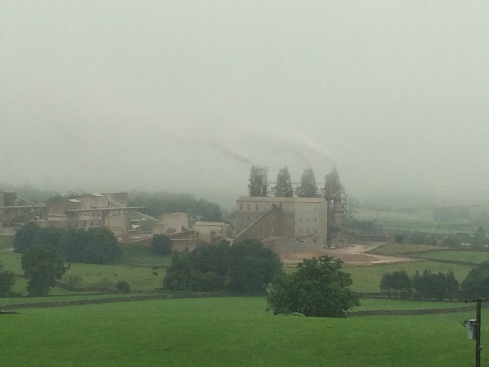
Back to day 6 Back to day 1 How to plan for the Coast to Coast Want to walk the coast to coast? Join the Glamoraks community and find a walking buddy. Distance: 20.5 miles We woke to the sound of rain on the roof, ordinarily one of my favourite sounds, but not when you are faced with a 20-mile walk in it. Getting out of bed, every bit of us ached. In fact there wasn’t too much about the day ahead that was getting us excited. The book described it as ‘something of a recovery day’, mainly because it was flat. And it turned out that it was flat. But it wasn’t a recovery. After a hearty breakfast of porridge, we donned our full wet weather gear and headed out. But by the time we’d crossed our first slightly uphill field, we were roasting and stripped off, resigning ourselves to simply being wet. We crossed the M6 with its roar of traffic, view of ugly factories as the backdrop. What a contrast to the peace and natural serenity of the morning before.
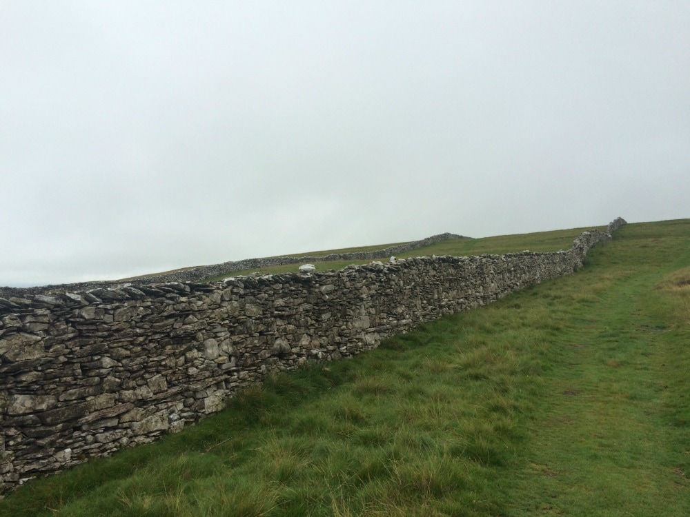
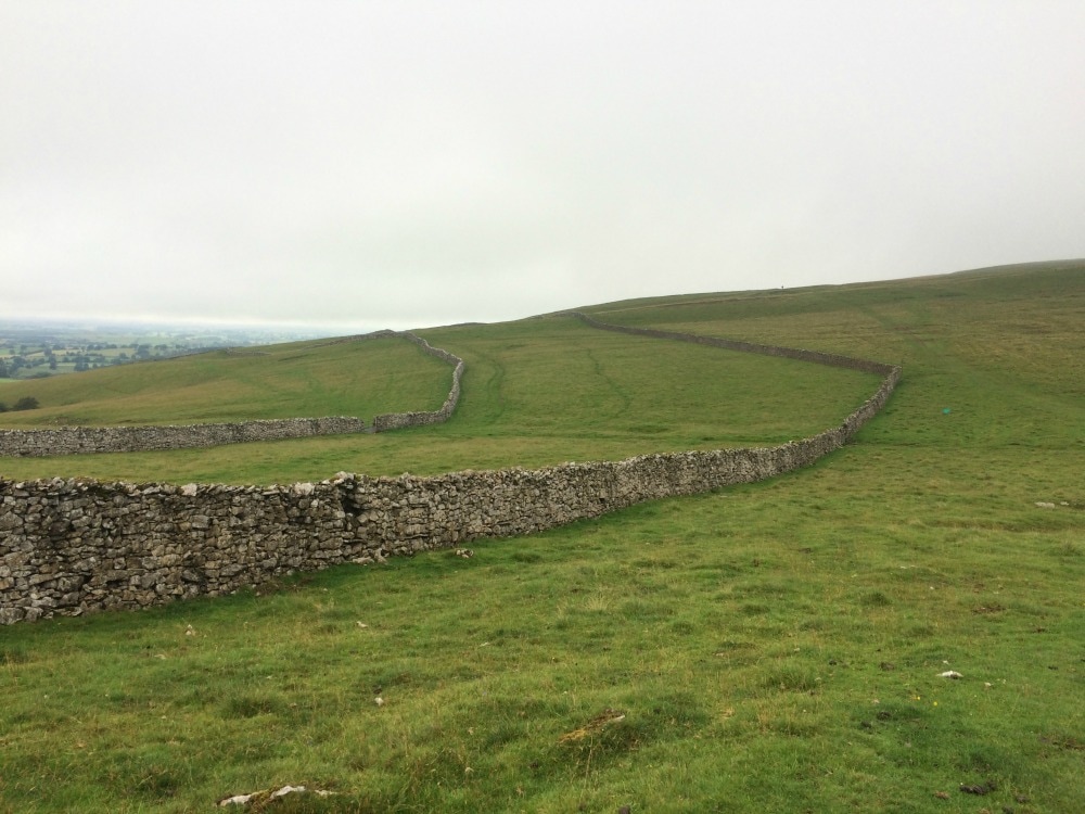
We plodded on, trading places regularly with the Aussies, who by now we were speaking to although there still seemed to be an underlying edge of competition between our two groups. Apparently there were some archeological ruins somewhere as well as Robin Hood’s Grave. We missed them. Or if they were there, they were unremarkable. On we plodded. Stone walls. The occasional crumbling farm house. Sheep. Sheep poo. More stone walls. Fields. Heather. Another field. Another field. We kept looking for somewhere to stop for lunch, but each field as was as wet and uninspiring as the next.
We eventually slumped down next to a stone wall, found a spot sort of free of sheep poo, and tucked into our squashed egg mayo sandwiches that the hostel had made us. They were delicious and despite our unglamorous surroundings and the fact that we were wet through, it was one of my favourite lunches on the walk. The sheer idiocy of our endeavour made us laugh a lot.
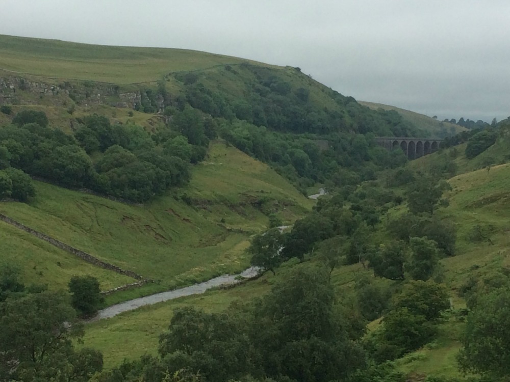
After a sock change, we soldiered on. The afternoon was no different to the morning. More wet fields. And more. And more. Just miles and miles of stone walls marching stalwartly across swathes of green. We did see an abandoned railway line, a viaduct and Victorian bridge but that was about it. As we neared Kirkby Stephen, we passed a man in his eighties carrying a full pack. We walked with him a while. He was doing the coast to coast as his own pace. He said he didn’t mind the miles, it was the stiles that he had to climb over that did him in. But he had no schedule. He simply walked as far as he wanted to, then camped for the night. What a brilliant chap.
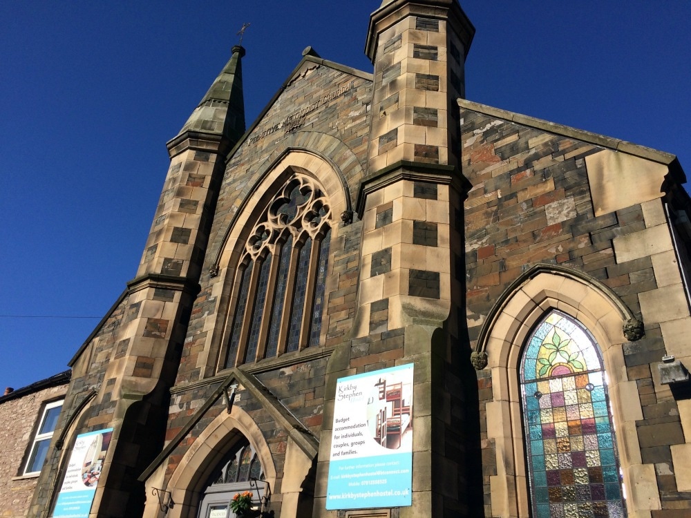
At last, looking very much like drowned rats, we arrived at our hostel, a converted church the front of which was decorated with many abandoned boots now serving as flower pots. To be fair, our boots felt as though they were growing things too. We were greeted by a jovial Denise who showed us the drying room, which was steaming with piles of wet kit and gave us a hot cup of tea. Revived, we managed a quick visit to the laundromat to wash our kit. Hooray! Fresh socks. After a pint in the Black Bull pub, we headed to the Mango Tree for a curry. Apparently it is the place to go as most of our fellow walkers were there, so a jovial evening followed. The only two walkers missing from our posse were Tracey and Dave, the crazy campers, who were determined to do the walk on a budget and were feasting on tinned mackerels and smash. Rather them than me. We fell into bed aching all over and wondering how we were going to manage another day. 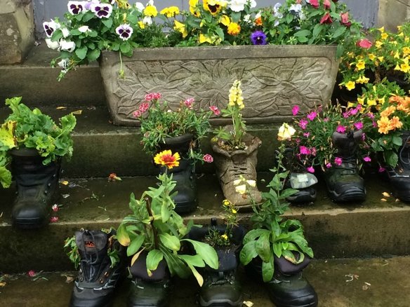 Where tired boots go to die On to day 7
Back to day 5 Back to day 1 How to plan for the Coast to Coast Want to walk the coast to coast? Join the Glamoraks community and find a walking buddy. |
Categories
All
Archives
July 2024
|
 RSS Feed
Get social. Follow us.
|
Don't get left out.
Add your email to be alerted about any Glamorak events, walks, get togethers, challenges or news.
Success! Now check your email to confirm your subscription.