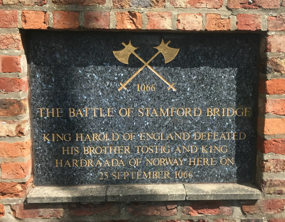
 Distance: 9-10 miles Difficulty: Easy to moderate (it's all flat but if you aren't used to walking 10 miles, may find it tiring!) Type of terrain: dirt paths, grassy paths, pavement, some mud Starting point: Stamford Bridge public car park, Viking Road, YO41 1AG Before I get onto the walk, I want to give you a short history lesson. Stick with me. It really is interesting. If I said the words: Stamford Bridge to the average English person, they would automatically assume I was referring to the Chelsea Football Club Stadium. But another Stamford Bridge played a far greater role in the future of Britain (and it involves slightly fewer overpaid prima donnas - but only just). Stamford Bridge is a village five miles to the East of York, in the East Riding of Yorkshire. But this small village was the site of a battle that genuinely changed the entire future of England. Yes really. I'm not a historian but here's my understanding of what happened back in September 1066. King Harold Godwinson had taken over the throne after Edward the Confessor died but there was a bit of a family argument about whether that was the right choice. His brother Tostig felt he should have got the job. Harold was having none of it, took away Tostig's title of Earl of Northumbria and had him exiled. That annoyed Tostig so he teemed up with the King of Norway, Harald Hardrada, who felt he too had a right to wear the English crown. When Harold (the English, not Harald the Norwegian) heard about this, he marched his army up from the South. 185 miles in just 4 days. Now anyone who has done a multi-day hike knows that is pretty impressive. I did the Coast to Coast which is 192 miles, in two weeks! And my feet hurt doing that! Anyway, Harold and his foot-sore troops arrived at the place that is now Stamford Bridge. King Harold himself went over to Tostig and Harald and said that he was willing to give Tostig his title back. When he was asked what he'd give to the Norwegian king, Harold suggested "Seven feet of English ground, as he is taller than other men." That didn't go down too well. And so the fighting kicked off. By all accounts a single Norse giant impeded the path of the oncoming English soldiers, waving a scary looking Dane axe around. But then some plucky English chap got in a barrel and drifted under a bridge and poked a spear up into the Norseman (one can only guess where) which ended his axe wielding career and indeed life. The Englishmen went on to win the battle. Just when Harold thought he could haul out the compeed plasters, and have a nice pork pie and a pint, he heard that some upstart French chap called William was heading over from Normandy. So poor Harold and his jolly tired soldiers had to walk all the way back down to Hastings in East Sussex and face another battle, averaging about 27 miles a day. They probably didn't have fancy walking shoes either. Frankly, despite picking up some reinforcements en route, they had had quite enough walking and fighting - understandably. And they lost that battle. William got the middle name The and last name Conqueror, and he went on to change the future of British history, with the year 1066 forever etched in school children's collective psyches. So that is how a little village in Yorkshire came to play such a big part in English history. You're welcome.
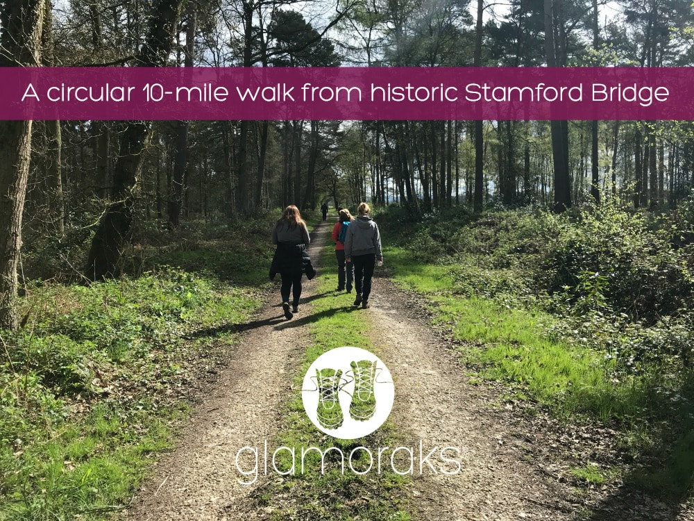
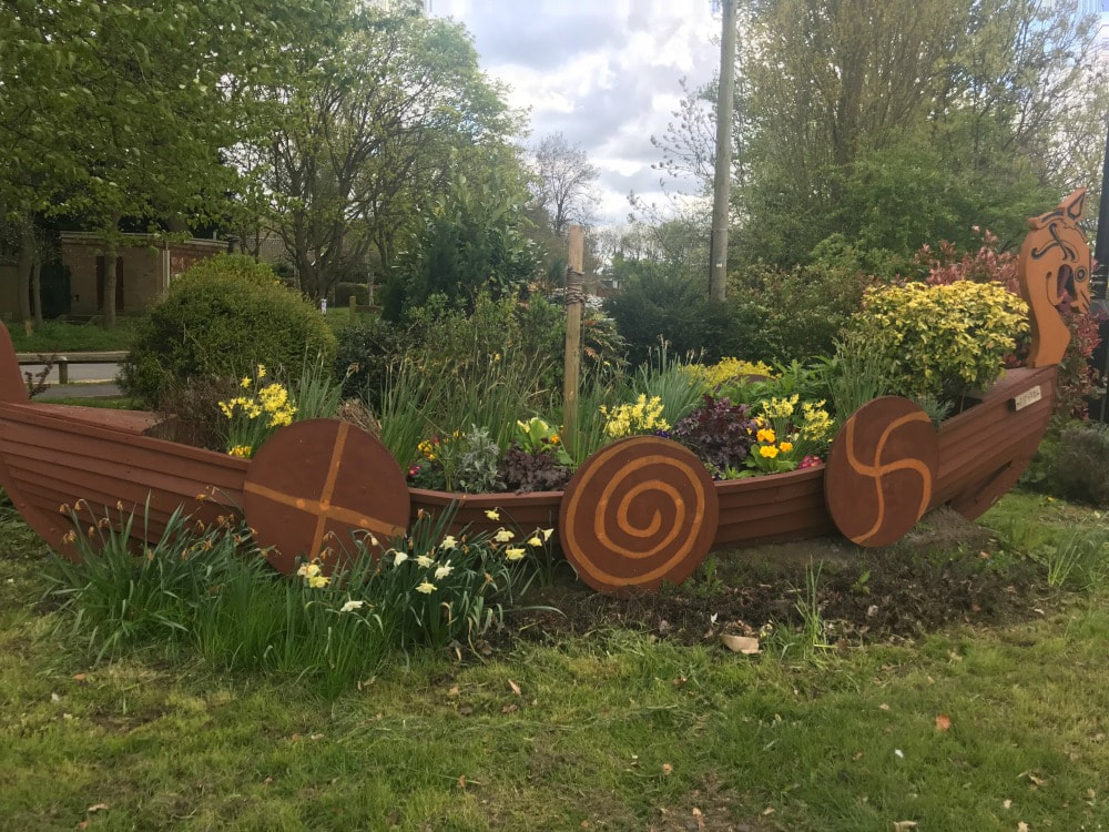
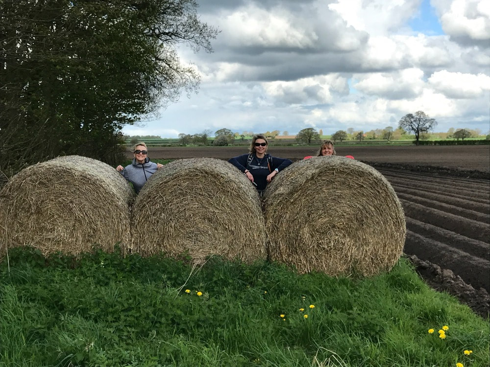
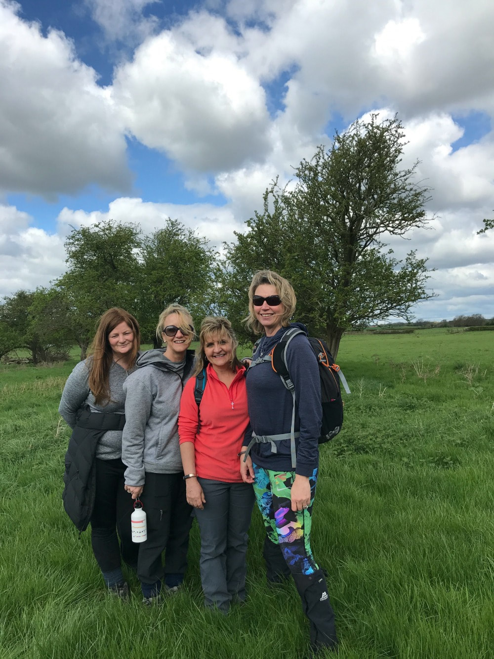
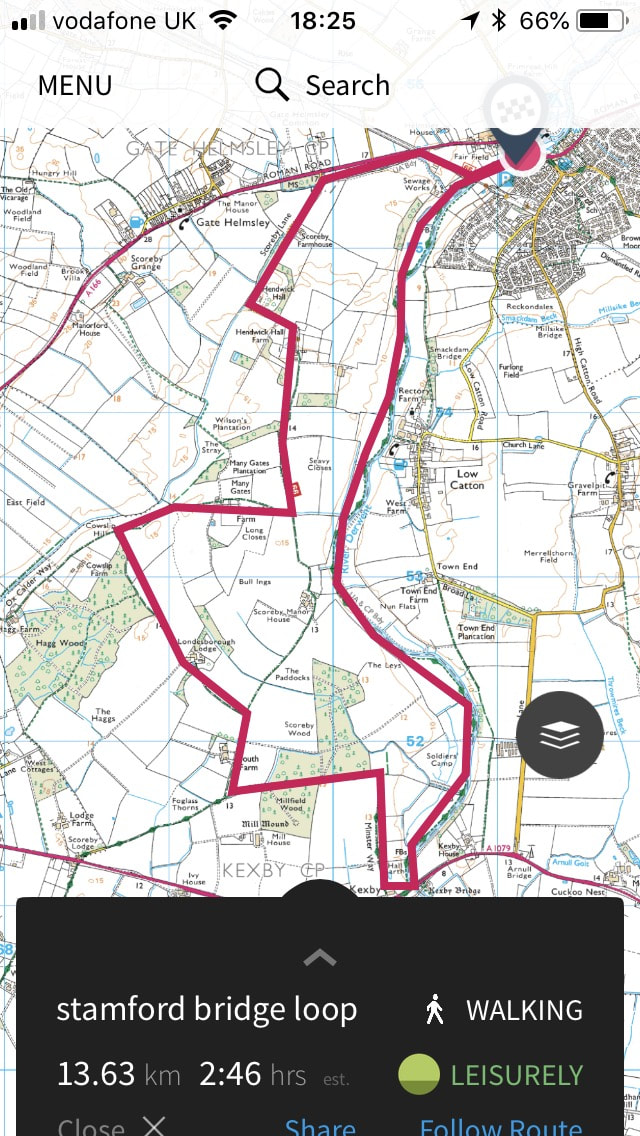
Today you can enjoy a lovely 10-mile circular walk from Stamford Bridge without fear of being attacked by a viking. The walk starts in the free village car park just over the stone road bridge. There are many different routes you can take but I will describe the walk we did.
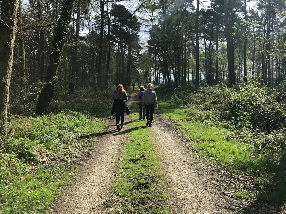
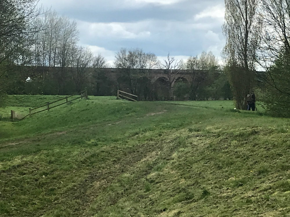
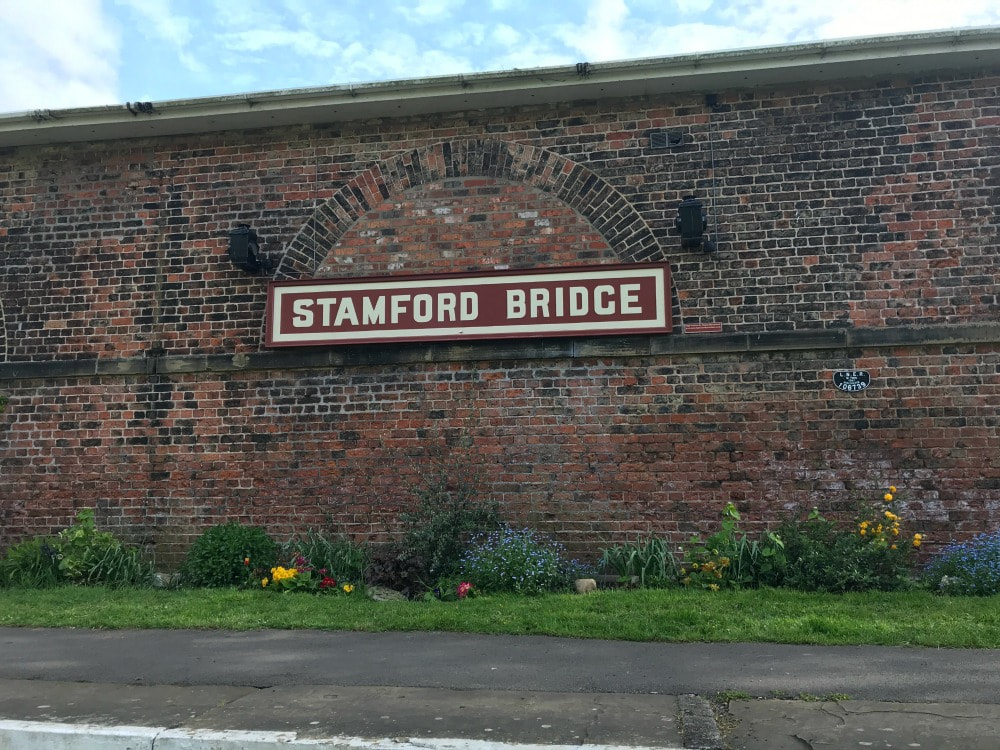
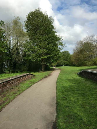
 The view from the top of the Viaduct Leave the car park and turn right into a housing estate. Turn right again and follow the road through the estate to a T-junction. Turn right again and in about 100m you come to the old railway station on your right hand side. Turn right onto a resurfaced track-bed, passing between the platforms and the old station. This is the old railway line that goes over a viaduct. It is now route 66 of the National Cycle Network. You walk along the top of the viaduct and then simply follow the cycle path. Besides a few short, noisy stretches that run alongside the busy A166, you soon find yourself walking through woodland and farmland, past a number of idyllic farm houses. This is a smooth and easy path, suitable for buggies (but not all of the walk is.)
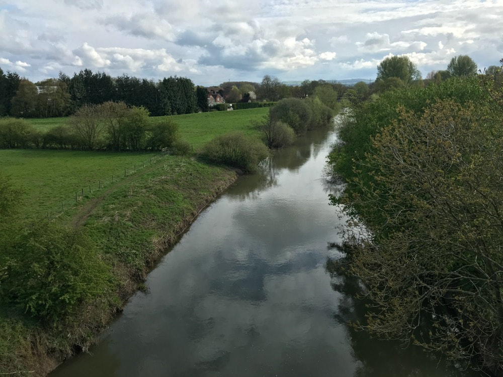
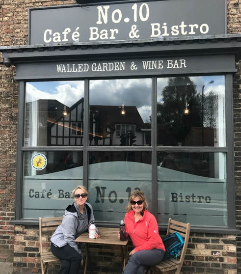
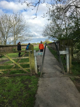
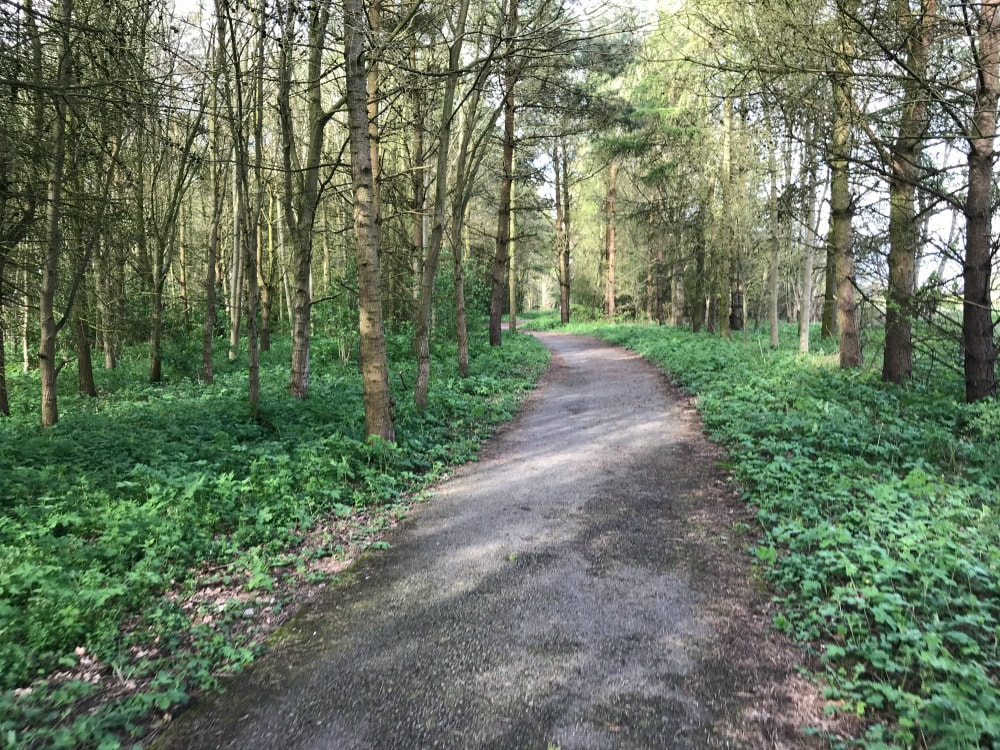
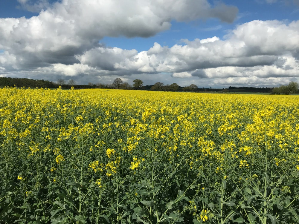
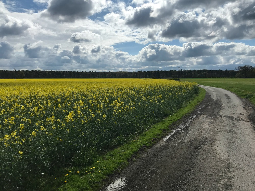
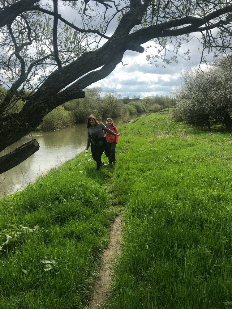
 When you reach a junction that says turn right to follow the cycle path or go straight, you can do either. If you go straight, you will cut about a mile off your walk. If you want that extra mile, follow the cycle path behind a farm house, through fields off rape until you get to another junction. Where the cycle path veers off to the right, you take the left hand path running alongside Hagg Wood. When you reach a farm house with a clear farm track that looks like the obvious path to take, don't take it. Instead follow the public footpath sign towards a small copse of trees, skirting the edge of the farm house, before getting back onto a farm road. You will come to another junction with a track that joins the road you're on from the left. Keep walking straight along your track (that other path is the short cut you could have taken earlier). At the corner of Millfield Wood, turn left and walk through a beautiful sun-dappled forest for a short time, before taking a right hand footpath towards Kexby. Once you reach the busy A1079 in Kexby, turn left, follow the road until just before the bridge goes over the river. Look for a slightly hidden footpath sign to your left and drop down to the riverbank. Now simply follow the river across many fields all the way back to Stamford Bridge. When you get to the village, there are a couple of pubs, delis and coffee shops to revive yourself. An alternate route is to cross over the bridge in Kexby until you reach a footpath on the left but on the opposite side of the river. Follow that, then the road to Low Catton, which has a very good pub for lunch (by all accounts). From there you follow a footpath along the river back to Stamford Bridge again. This is a great circular walk that has free parking, a good array of refreshment stops at the beginning or end (or in Low Catton if you do that walk) and a fabulous hit of history. If you want to find other women to go walking with, join the Glamoraks community.
 Because every walk needs a frothy coffee and a bacon buttie or cake.
2 Comments
James Miller
4/11/2022 09:07:48 am
Thanks for putting the Stamford Bridge walk on Google. I wish I could do it but I'm too old now 86. I have done a walk across England Morcome Bay to Robin Hoods Bay and cycled the Lands end to John O' Groats.
Amy
29/5/2023 12:35:37 pm
Thanks for the route. Did this today May 2023. It was quite overgrown in a few places with nettles etc so long sleeves/trousers recommended and one field had a bull but we had no problems. Leave a Reply. |
Categories
All
Archives
July 2024
|
 RSS Feed
Get social. Follow us.
|
Don't get left out.
Add your email to be alerted about any Glamorak events, walks, get togethers, challenges or news.
Success! Now check your email to confirm your subscription.