|
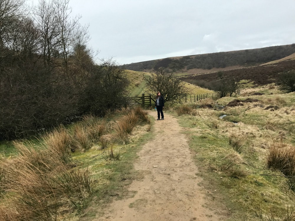
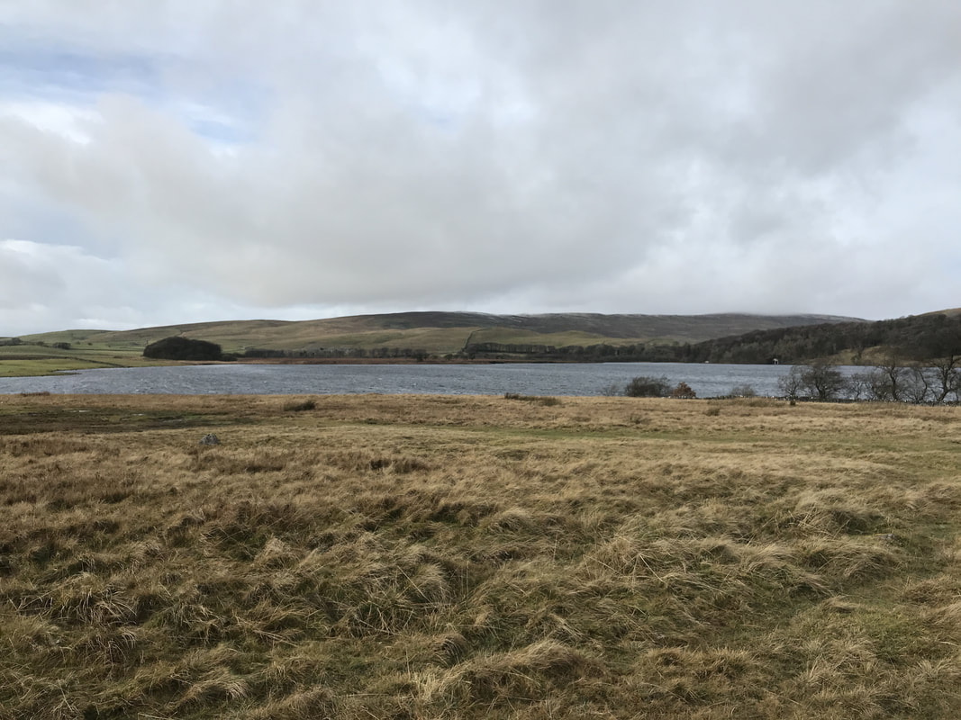
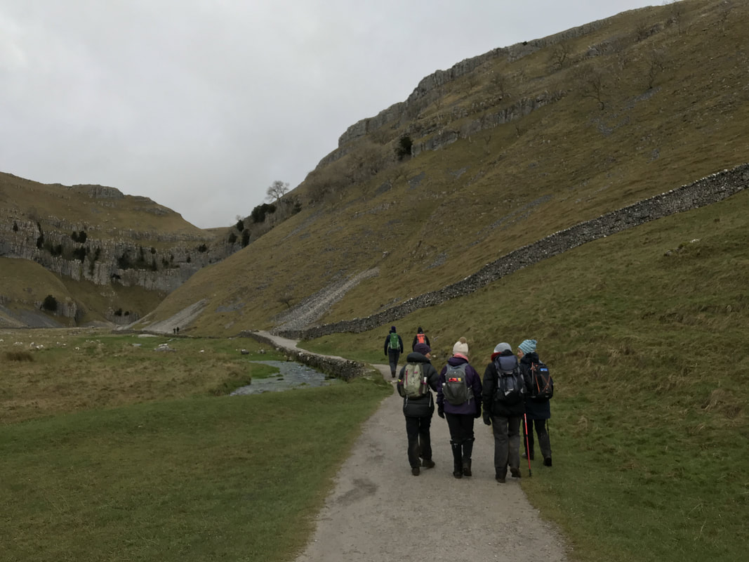
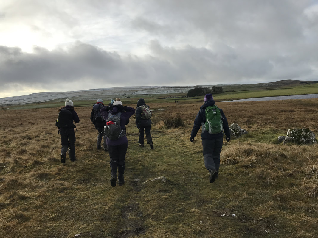
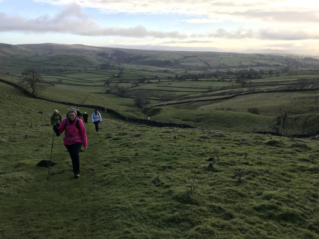
I've just returned from a lovely 7.5 mile walk starting at Cod Beck Reservoir, tracking through Osmotherley and along a stretch of the Cleveland Way in the North Yorkshire Moors. I haven't been on many walks recently. My personal life has been somewhat fraught/busy/overwhelming for the last few months, so walking had to take a back seat. But today I had a free day. No kids. No commitments. And yes there were household jobs to do - when aren't there? - but I decided to prioritise time for me. Luckily, a Glamoraks member had planned a walk for today. That's how Glamoraks works. Someone decides that they want to do a walk and they choose a route. They share it in the group and/or the Facebook page and other people can decide to join them. You can search for members or walks near you too (and we have members all over the world.) For many people, coming on one of these walks is daunting. They don't know anyone and as with any new situation, meeting new people and trying new things can feel scary. But as the ladies on the walk today can testify, there is absolutely no reason for nerves. We are women with completely different stories and backgrounds. Yet we all love the same thing - getting outside in the fresh air and having a good long stomp. Now had this walk not been set up today, I would have gone on my own (although it would have been easier to cry off and binge watch Game of Thrones), but for many others, they would prefer not to be alone out on a remote path. Many don't feel brave enough to be the walk organiser, but once they've been on one, realise that actually it's not that scary either. No-one expects you to be a qualified walker. It's ok if we get lost. Or it's muddy. Or we want to change course. Or stop for tea. We're just grateful that someone has encouraged us to get out there. Besides the normal chat about parenting, food, jobs, holidays, we had quite a bit of chat today about doing things that push you out of your comfort zone, saying yes more. My take on this is that the fears you may have because you've never done something will always be there - it's your body's natural instinct to keep you safe. But as soon as you do it, you realise that the worries you had were often far worse than reality. And it's not just walking that this applies to. Anything that you may be facing - getting a divorce, moving house, starting a new job or leaving a job, tackling an illness, have kids leave home, dealing with a family crisis, or taking on the bucket list thing you've always wanted to do but don't feel brave enough - you can do it. Please believe me: YOU. CAN. DO. IT. No matter what it is, how huge or scary, just tackle it one step at time. And you will find yourself doing it. And you're ok. And in many cases, so much better than you were before. So in the words of that famous shoe brand: Just do it. How do I know that you'll be ok?
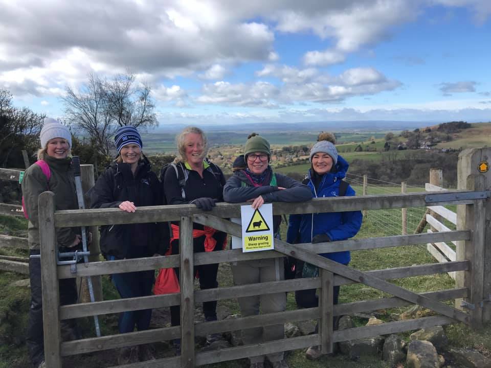
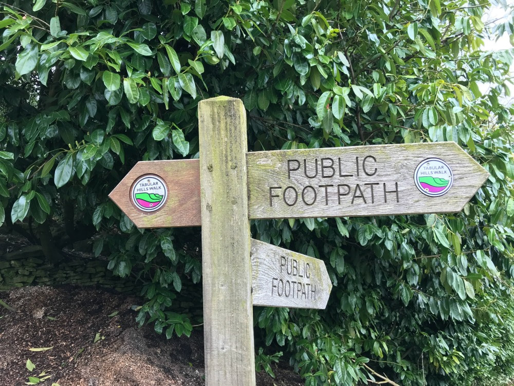
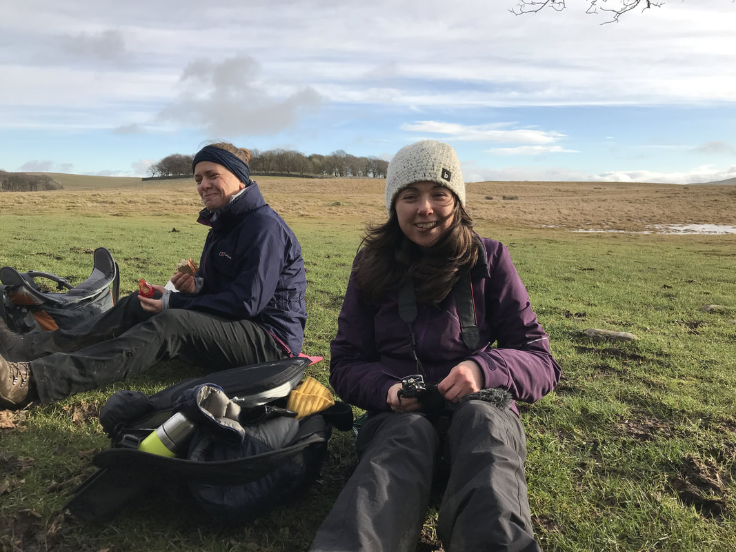
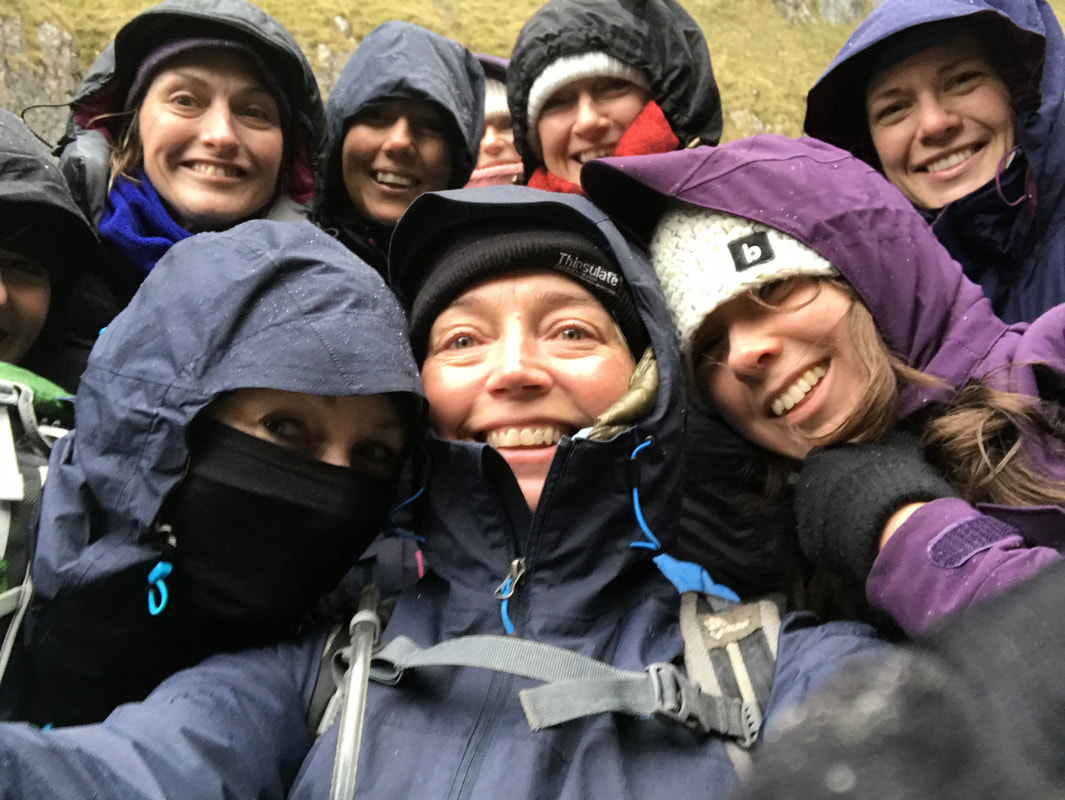
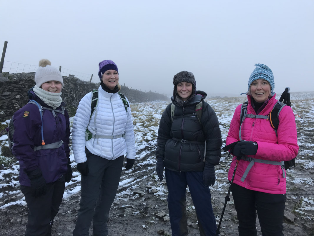
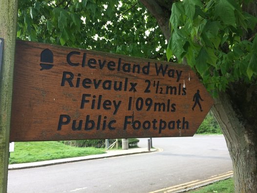
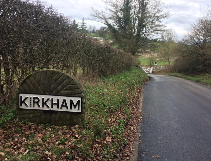
Because on every Glamoraks walk, I hear different women's stories and it always amazes me at just how resilient women are. No matter what they've been through, it turns out ok. Hearing these stories from people outside your normal friendship group opens up your mind and deepens your compassion for what others face. It also inspires you to try some of the things they've done or get ideas on what to do next. Sometimes the world and our own personal lives can feel a bit overwhelming or negative. But just one walk with a group of women, I guarantee, will put a smile of your face, a glow in your cheeks and a sparkle in your eyes - see the evidence below. And hopefully, it will also give you that little confidence boost to know that you can do it, whatever 'it' is. (Incidentally, we passed the sign in the picture above on our walk today ....)
0 Comments
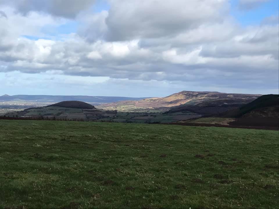
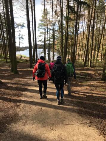
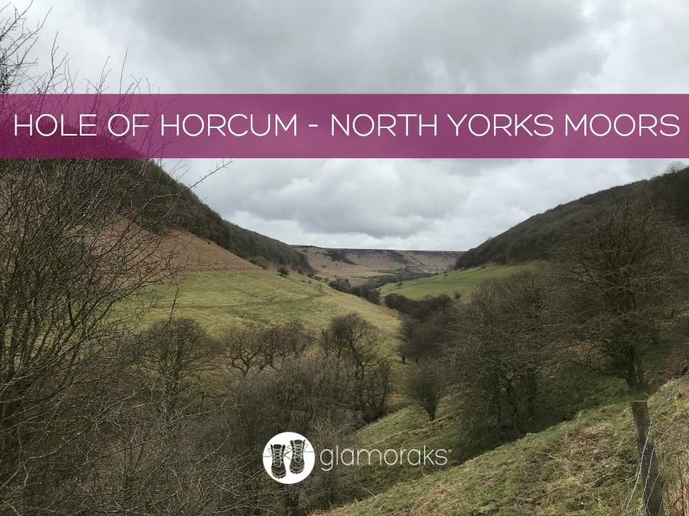
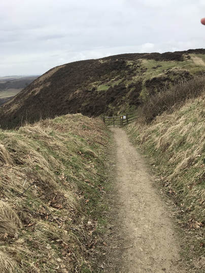
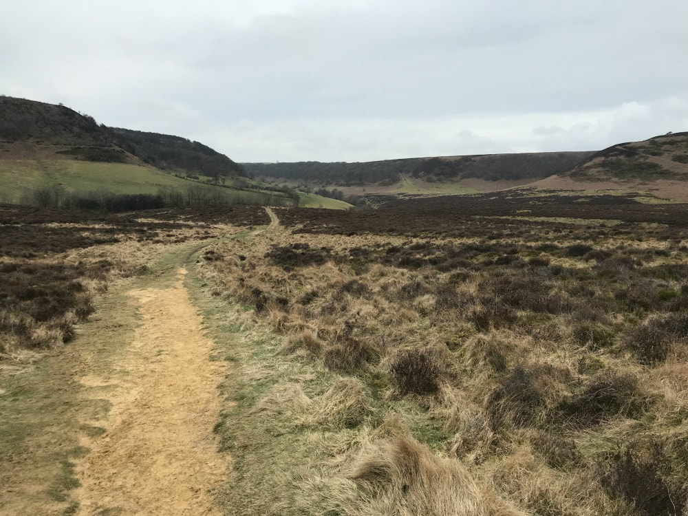
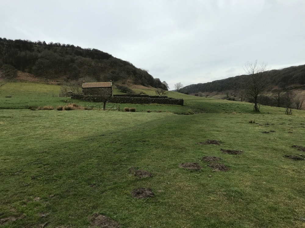
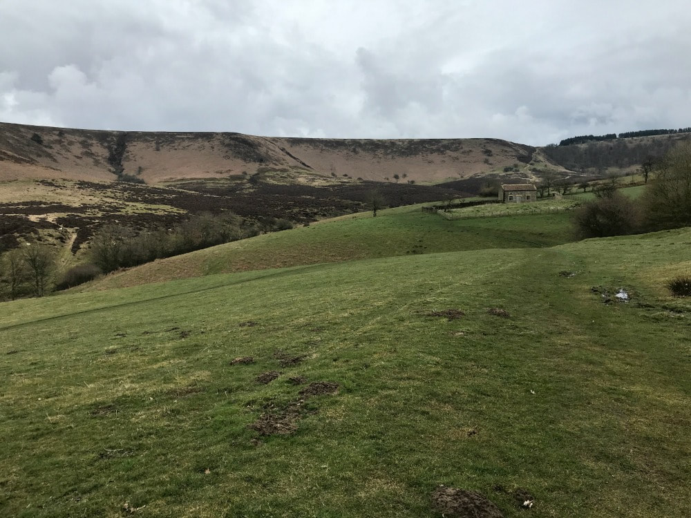
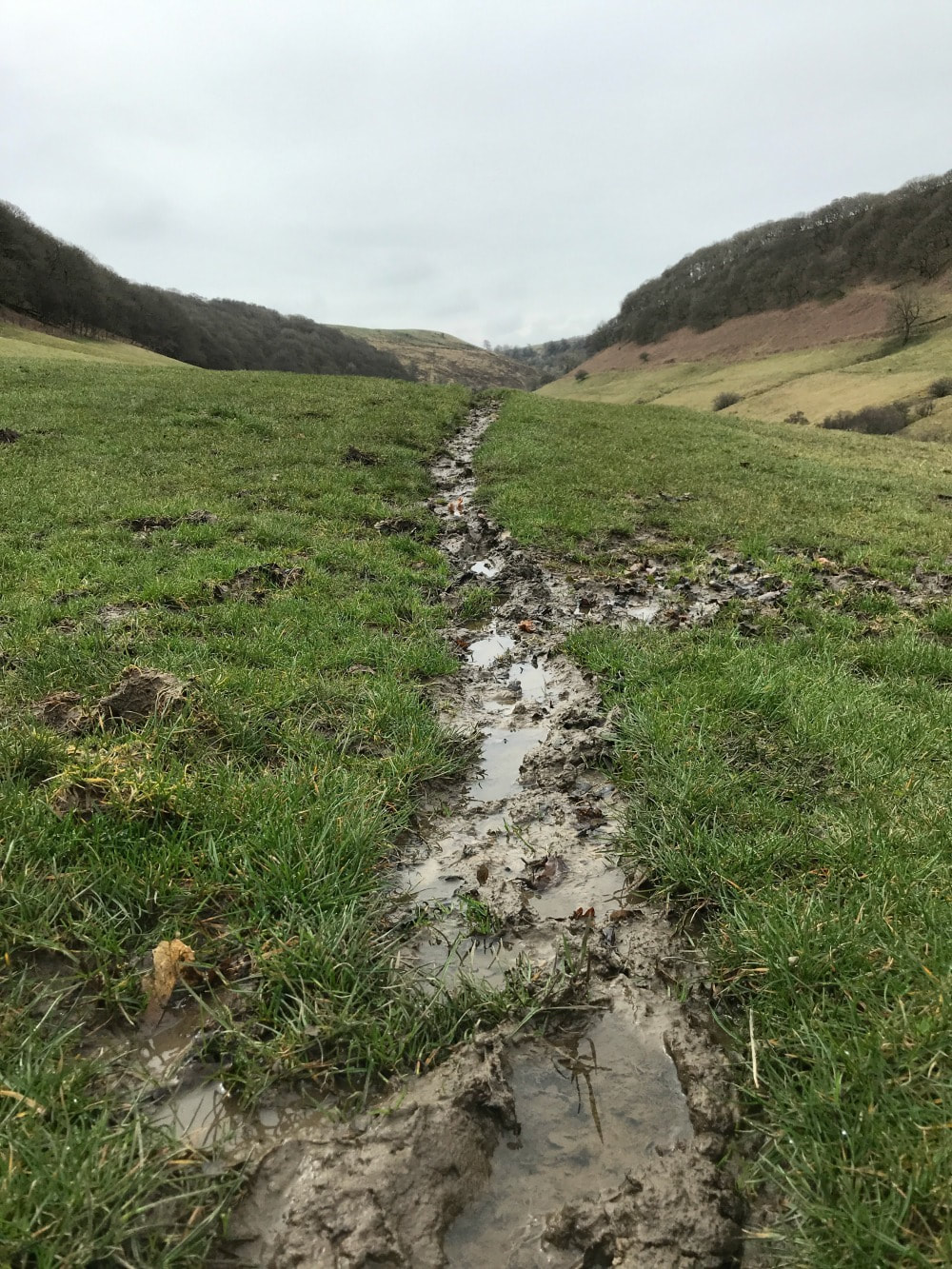
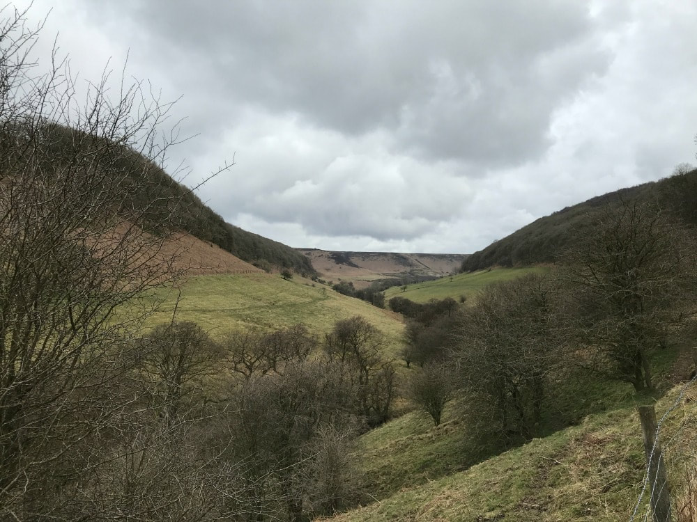
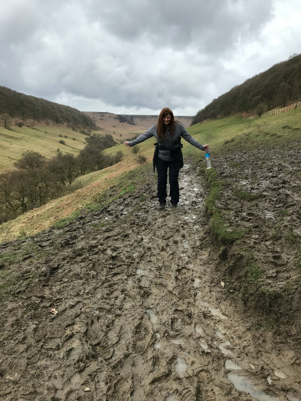
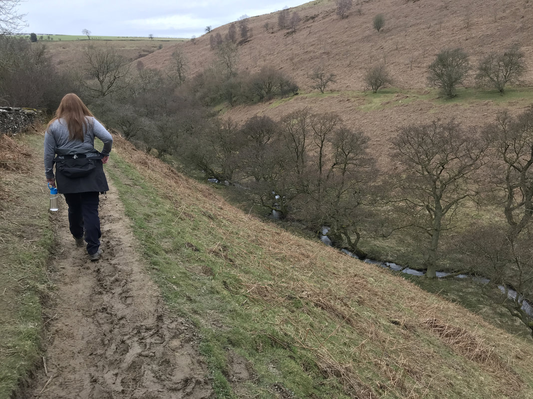
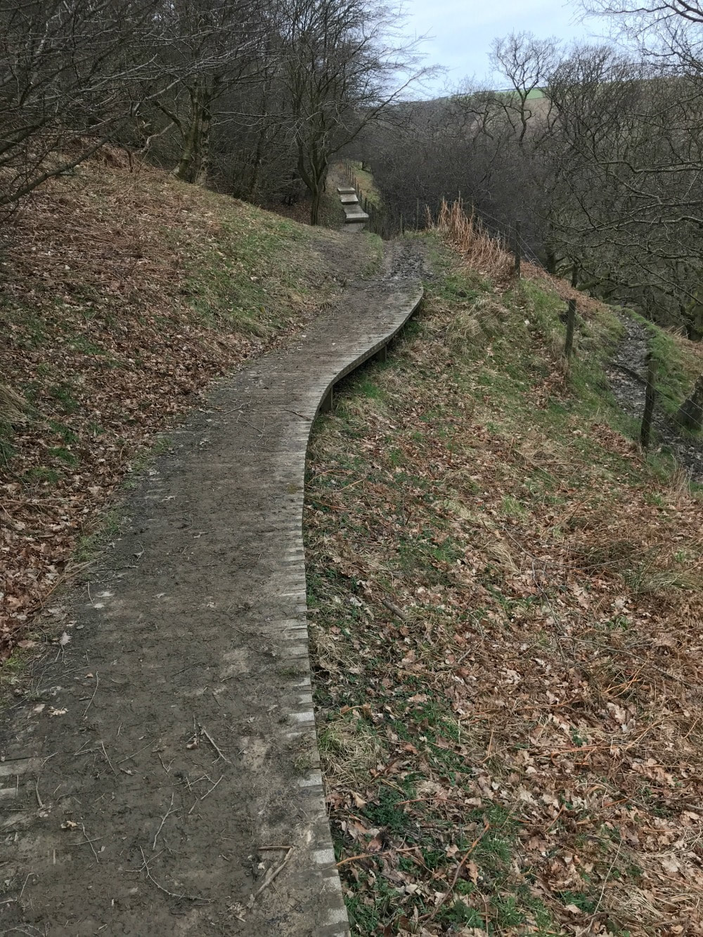
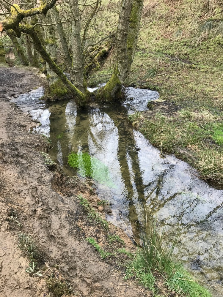
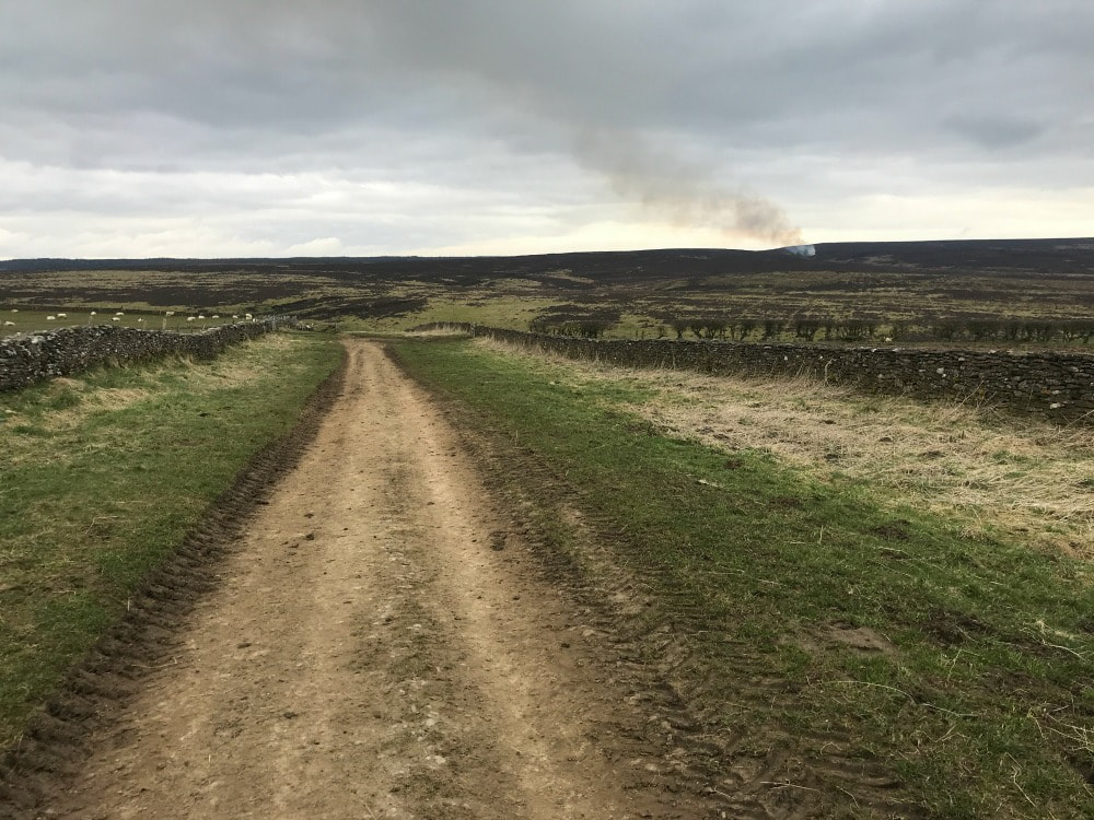
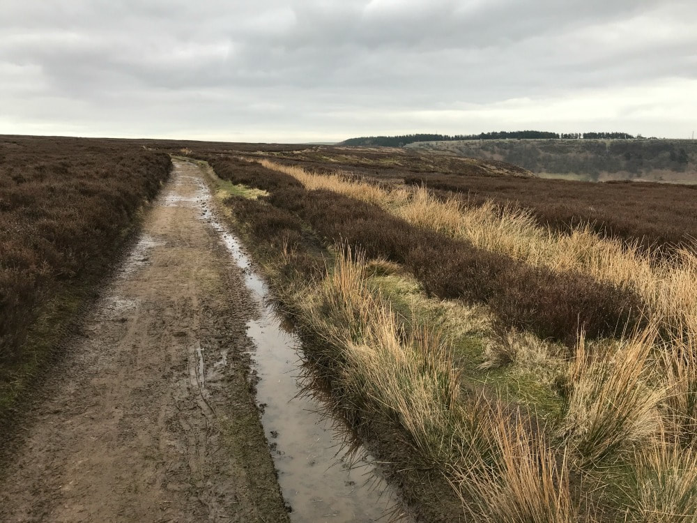
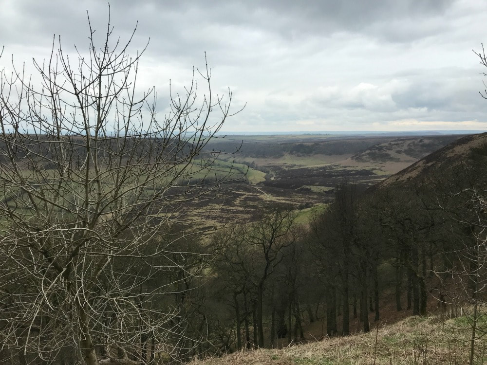
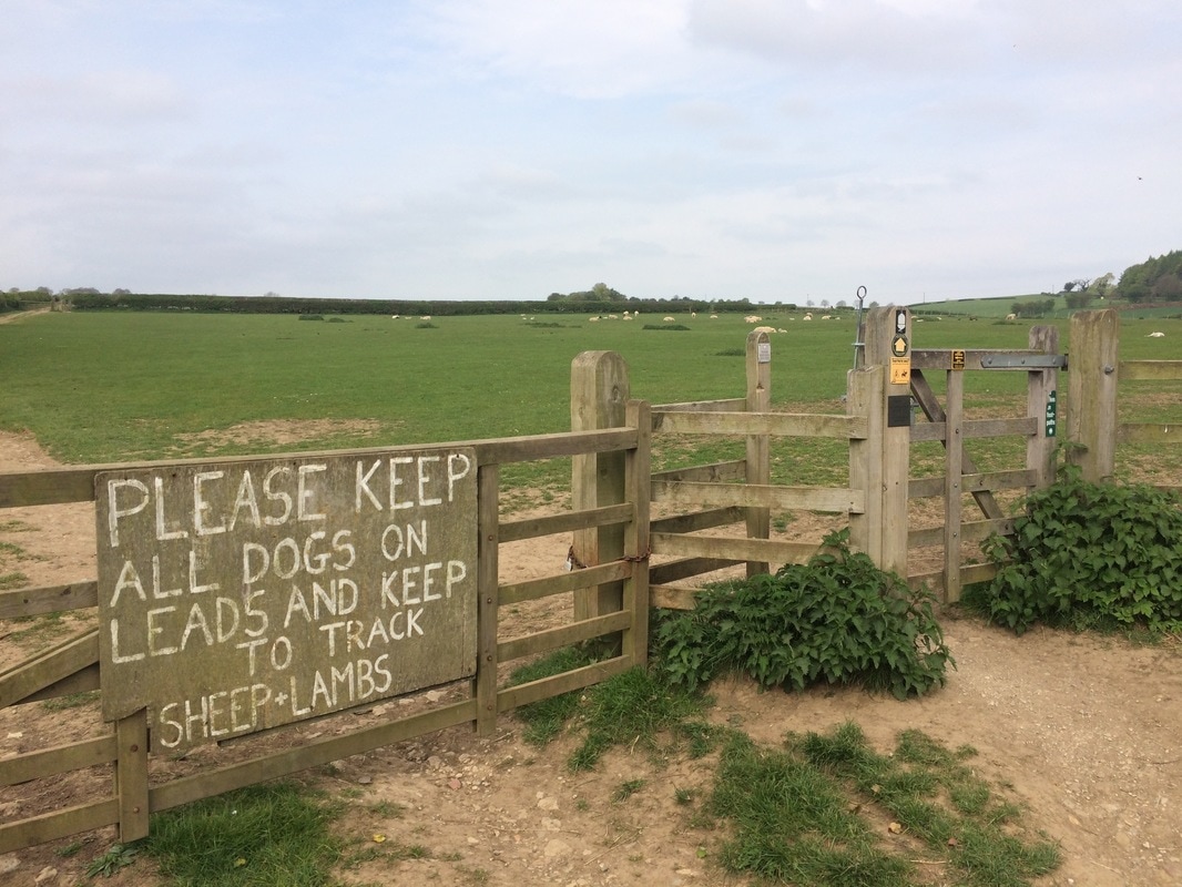
Start and end point: Hole of Horcum carpark off A169 postcode YO18 7NR Terrain: Muddy paths, moorland Hills: A steep climb in and out but otherwise reasonably flat Refreshments: The Horseshoe Pub in Levisham Distance: Approx 7 miles The Hole of Horcum is a section of the valley of Levisham Beck and is part of the Tabular Hills walk in the North York Moors National Park, in Northern England. The 'hole' is 400 feet deep and is approximately 3⁄4 mile (1.2 km) across. Local legend has it that the punchbowl feature was created when Wade the Giant scooped up a handful of earth to throw as his wife during an argument. (Perhaps his wife had suggested that she was heading out for another weekend of walking....) According to Wikipedia: The Hole was actually created by a process called spring-sapping, where water welling up from the hillside gradually undermined the slopes above, eating the rocks away grain by grain. Over thousands of years, a once narrow valley widened and deepened into an enormous cauldron – and the process still continues today. The walk is lovely - roughly 7 miles. It's a circular walk and I've walked it both ways. You can start either at the car park off the A169 (Saltergate - postcode YO18 7NR) or in the village of Levisham. But I personally prefer to park in the carpark because it means you can stop half-way round for a pint of something cold at The Horseshoe Inn. You can walk it clockwise or anticlockwise. CLOCKWISE ROUTE The view are probably best if you walk counter clockwise from the carpark. But as I most recently walked it clockwise and my images are of those views, I am going to write it as the clockwise route. Cross the A169 with care, then follow the waymarked path. Where the path splits to go left and down into the punchbowl or right and along the moors, go left and downhill. Follow the path down and just keep walking. Once at the bottom, keep walking along the base of the punchbowl following the clear path. You will go over a stile and will eventually get to a bit where an old farm building sits. At this point, turn back and look at the majestic view. Keep following the path, sticking to the low path. If you find that your path starts to lead up a hill, you are going wrong and will end up in Lockton - not where you want to be. Stick to the low path that is closer to the stream. Follow the increasingly muddy track, along some wooden boards, getting closer and closer to the stream until eventually you cross it by a little bridge. Shortly thereafter as you start to climb, you will find a sign post pointing you in various directions. Take the one going straight ahead to Levisham. If you want a shorter walk, you can take the sign to the right to Dundale Pond and return back along the moors, skipping out Levisham. 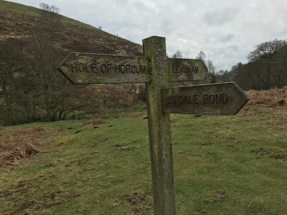 You follow a increasingly narrow path as you make your way up the hill and through woods until you reach the road at Levisham village. You'll see this waymarker sign and a bench. Turn right up the road and you'll see the Horseshoe pub. I can recommend the chips! Once you're revived, keep walking in the same direction past the right hand side of the pub. Follow the farm track until you go through a gate. This takes you onto the moorland path. Just keep following it back in the direction of carpark. You will at one point arrive at a 4-way junction signpost - keep going straight on without turning left or right. This is where the early path sign-posted to Dundale Pond would bring you to. The walk is straight-forward now across the moors, with the carpark coming into view. After a final stile, you climb the hill back to the carpark and you're done! Be sure to look back across the punchbowl for a final view. This is a relatively easy walk with some hills. It's a good one to do with older kids. If you do it with a dog, be aware that there are sheep grazing so they will need to be kept on a lead.
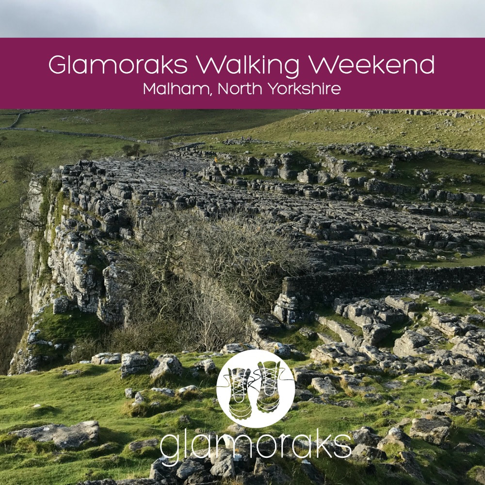
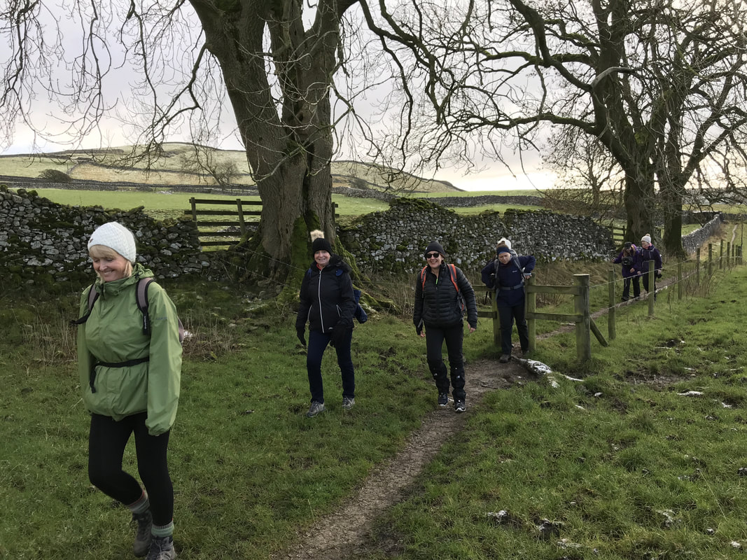
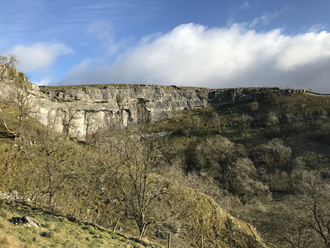
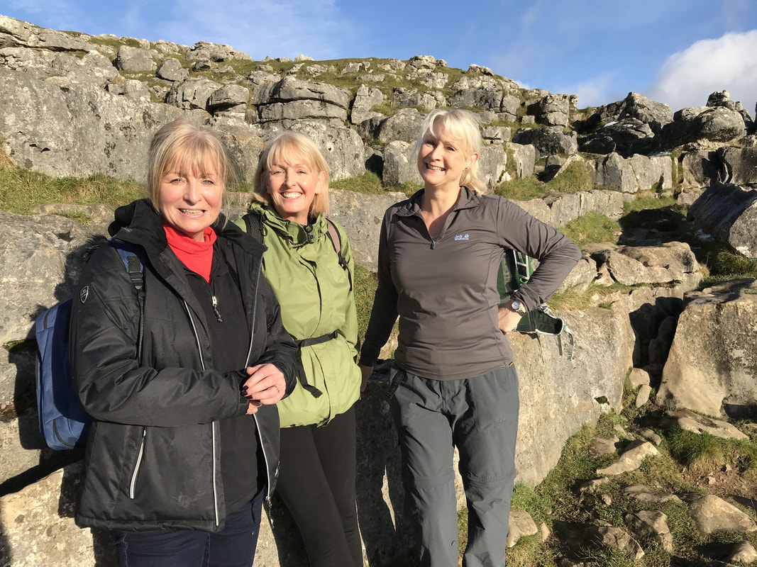
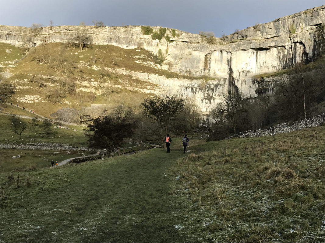
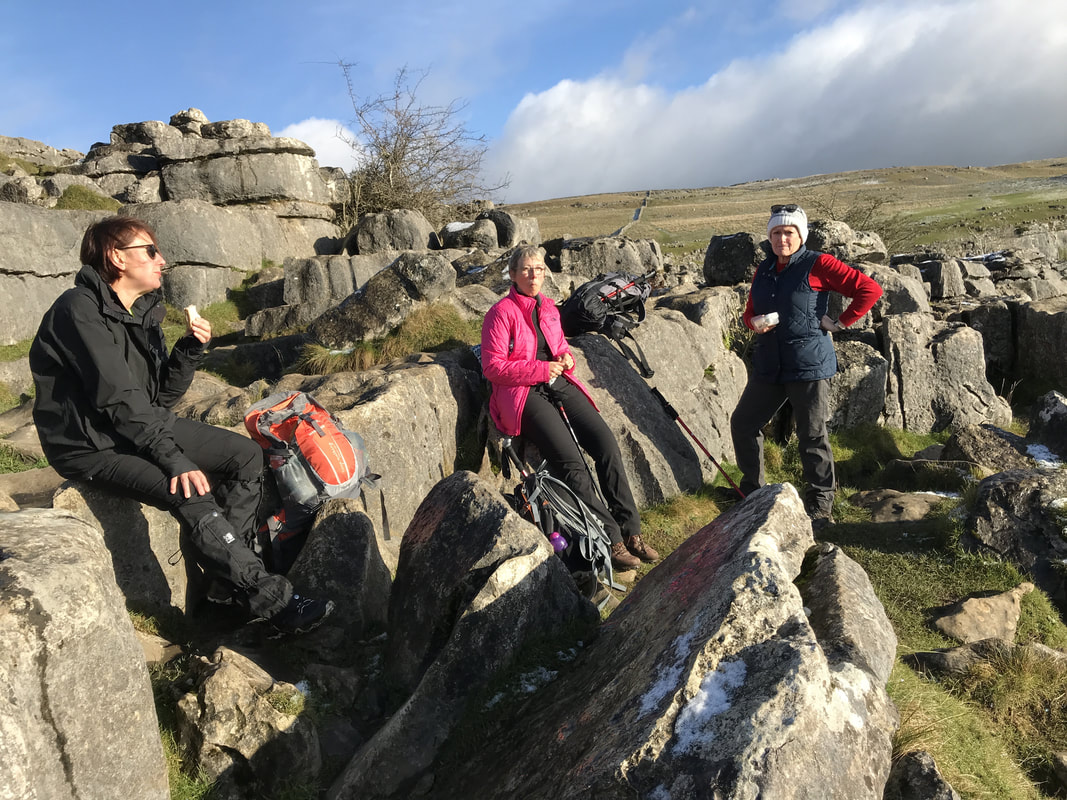
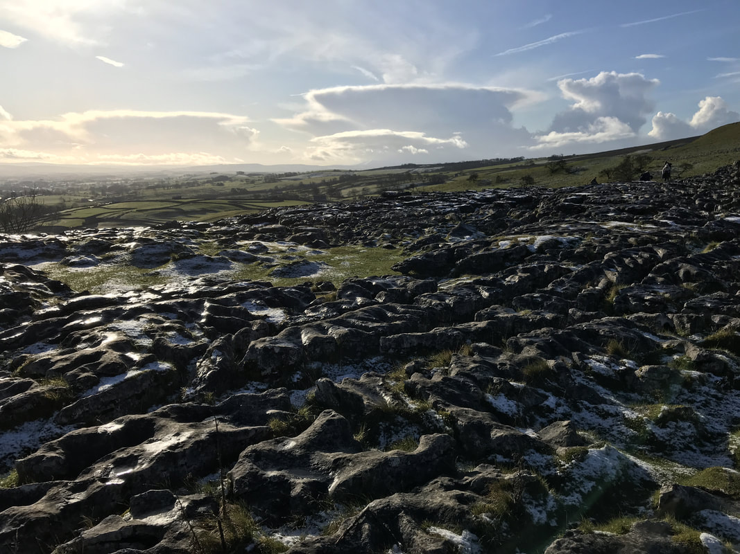
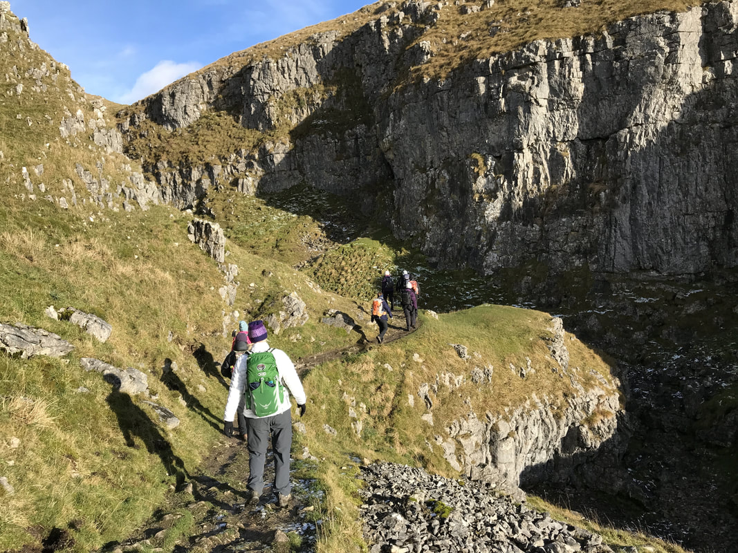
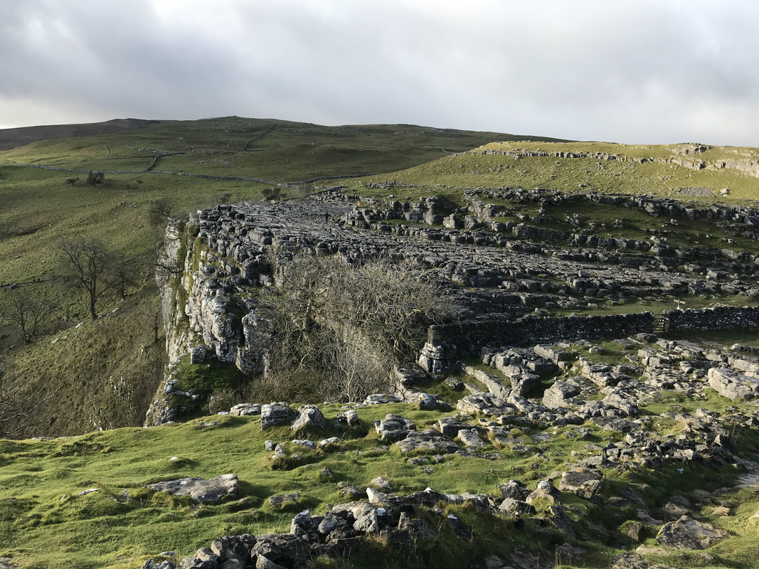
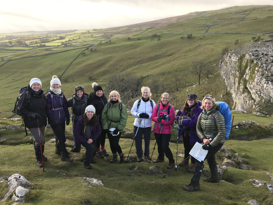
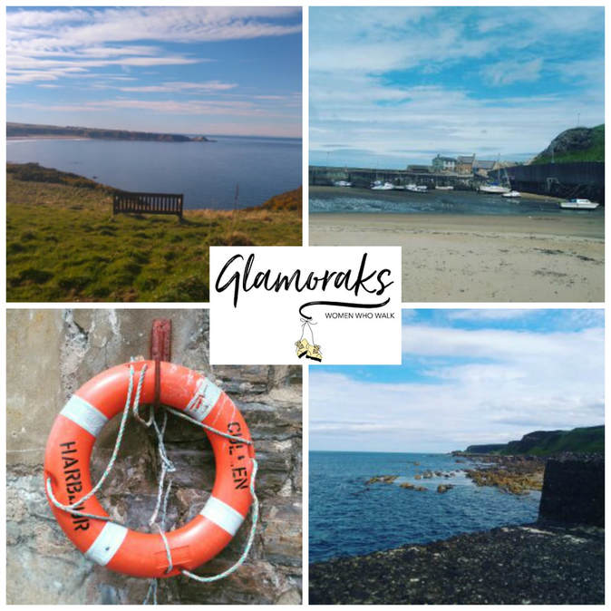
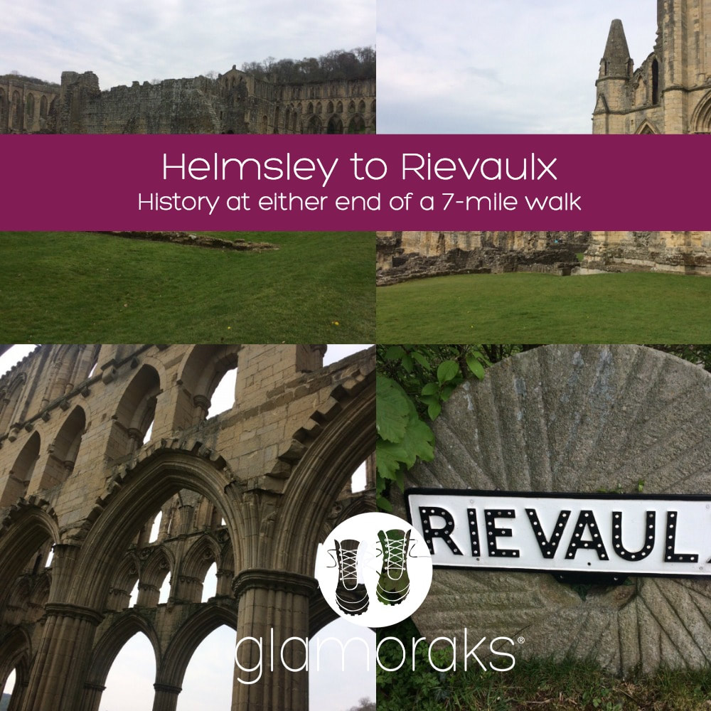
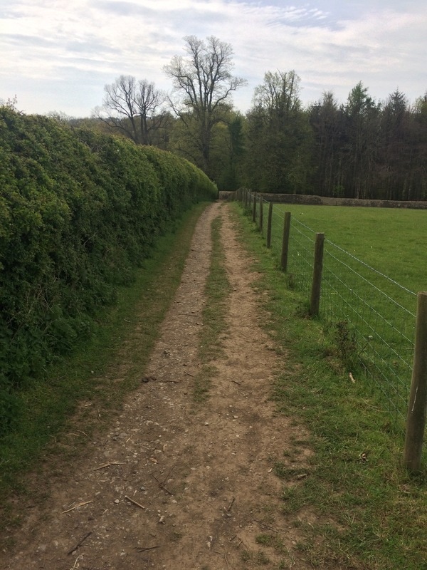
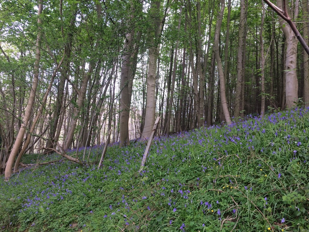
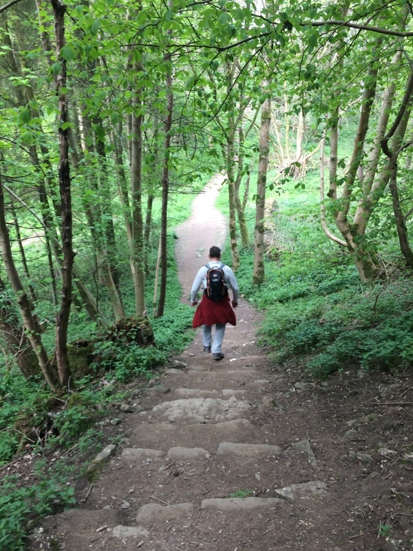
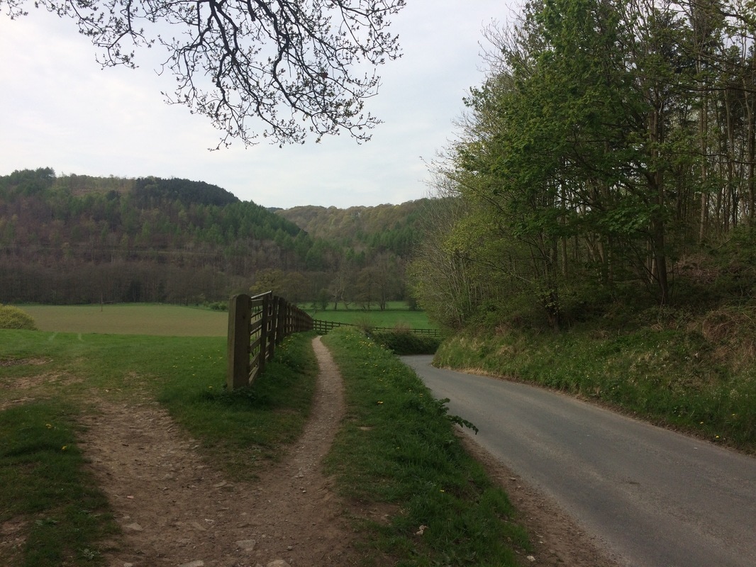
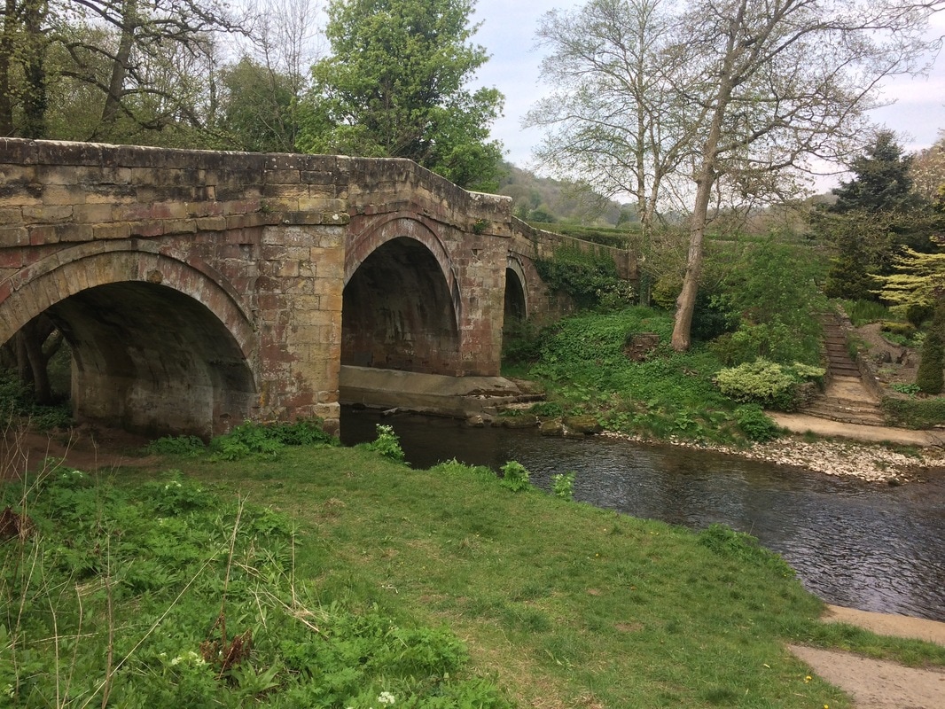
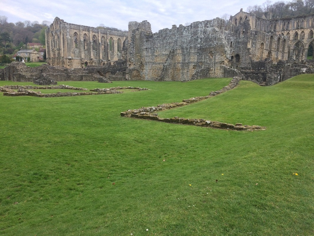
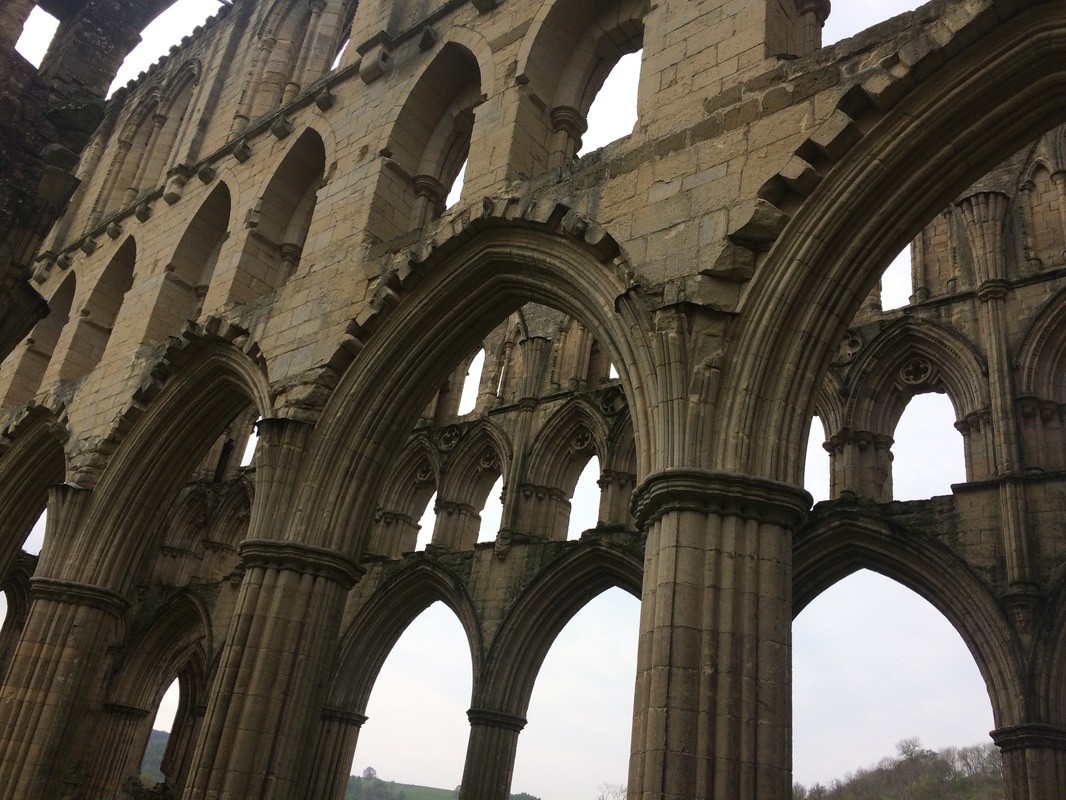
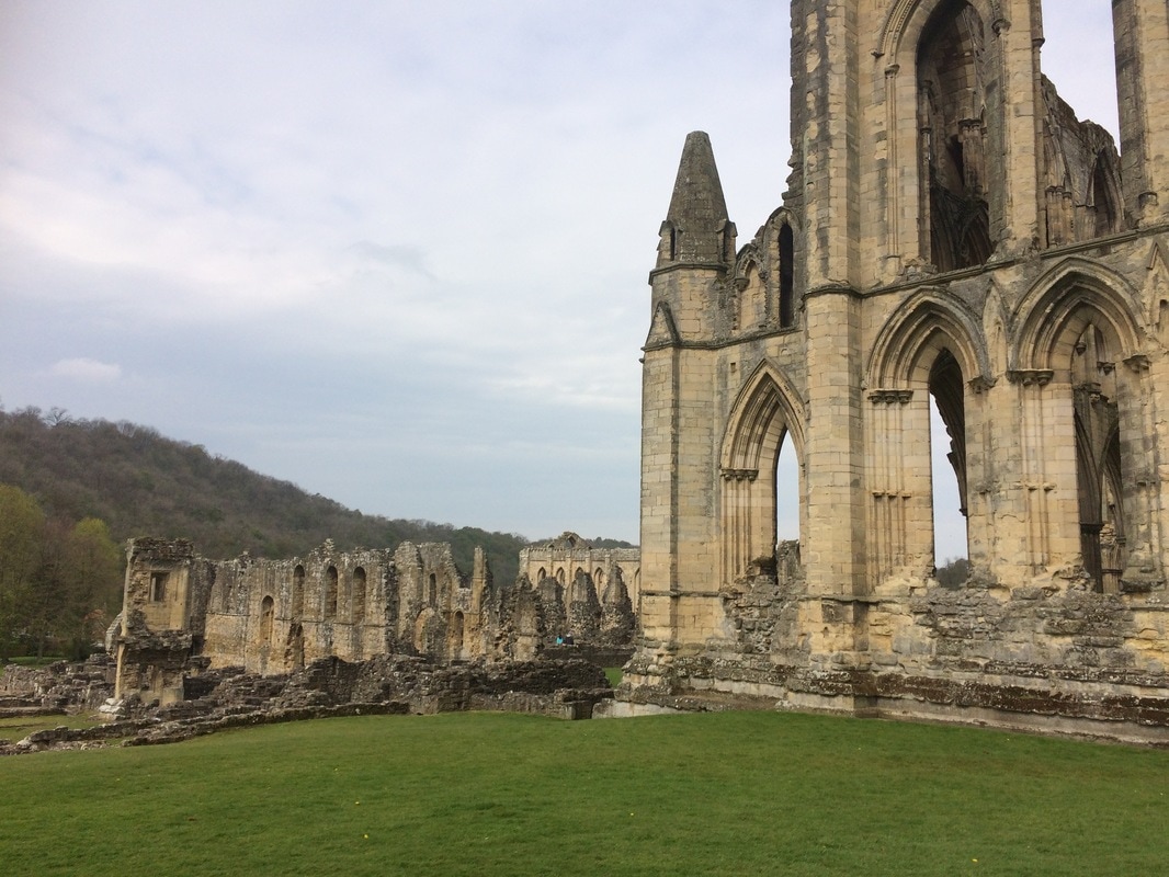
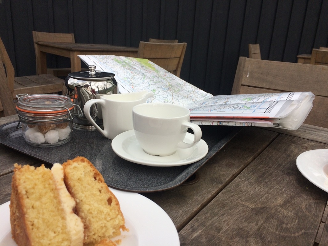
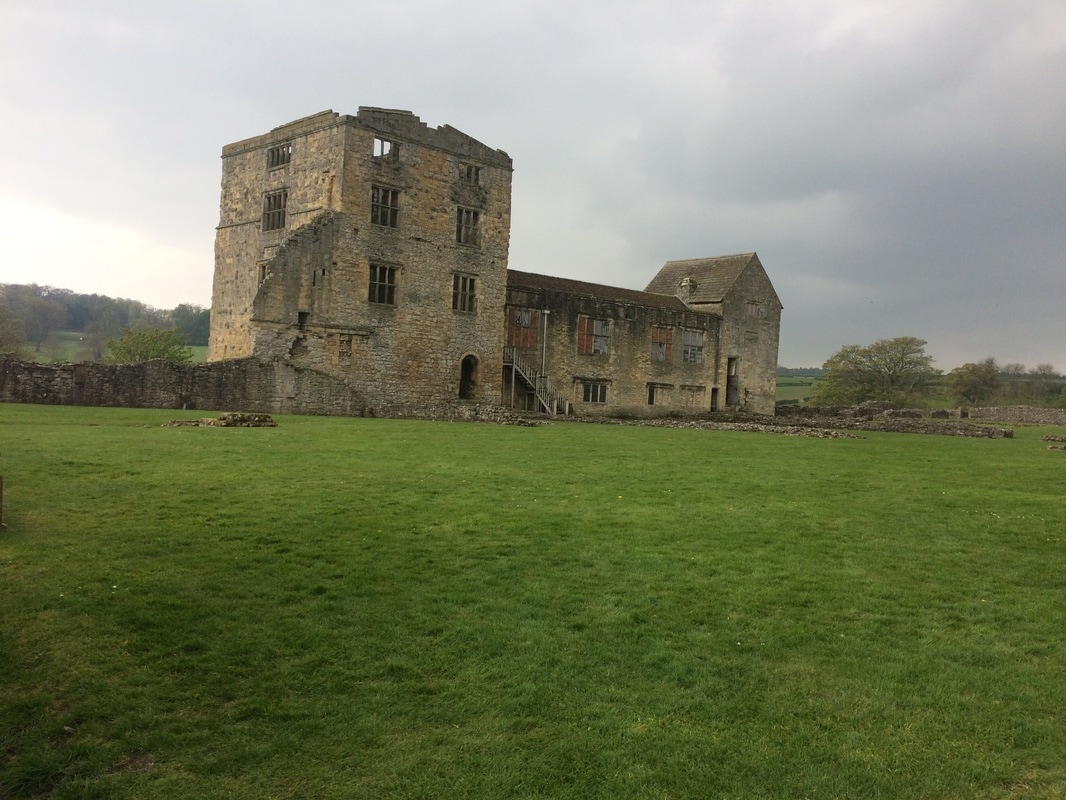
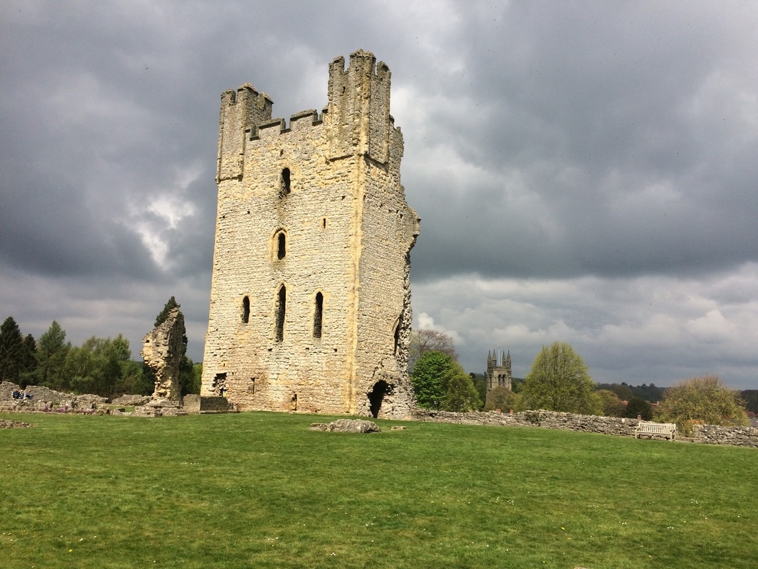
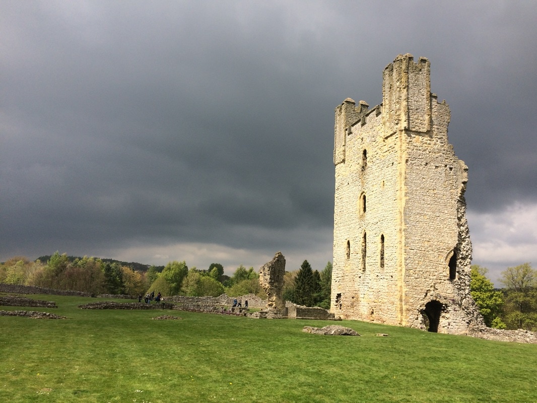
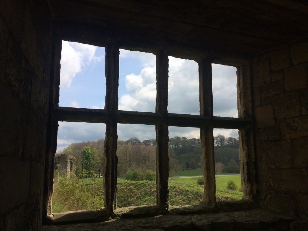
If you'd like to find other women to go walking with, join Glamoraks. It's free. The first ever Glamoraks Walking Weekend was held on 24 - 26 November. And it was fab! Fourteen ladies made their way to Malham Youth Hostel. Most people didn't know each other so there was a certain amount of trepidation, but an evening in the cosy Lister Arms pubs with several glasses of warming red wine, and any anxieties were laid to rest. The hooting of the resident owl sent us off to sleep ready to tackle a day of walking. Once the rest of the group arrived on Saturday morning, we set off. Using the footpath that runs directly alongside the hostel we made our way up to the base of Malham Cove. It's a stunning setting and gave us a taste of the scenery to come. Crossing a stone bridge over a stream we made our way up the steep steps the carve around the edge of the cove. From the top, the views over the Yorkshire Dales were incredible. After a warming cup of tea, we gingerly made our way across the limestone pavement - famed for having a Harry Potter scene set on it. The slippery stones made it slow going. On the far side we decided to split into two groups - those who wanted a more gentle walk of 4.5 miles to Gordale Scar, Janet's Foss and back to the hostel; and those who wanted a longer walk up to Malham Tarn and Malham Raikes before picking up the path to the Scar and Foss. While the sun was glorious during our walk up the Ing Scar, at the Tarn it was bitterly cold, so we found a wall to shelter behind to enjoy our picnic lunch. Suitably revived, we headed for Malham Raikes and got stuck in icy bogs en route. After squelching through those for a while, we were pleased to hit a drier path and finally reached Gordale Scar. Just as we were heading for home, the heavens opened and our faces were whipped with sleep and rain. A final stretch in woodland passed Janet's Foss and we made it back to the hostel before the sunset. Thanks to Janet for the ingenious idea to create hot port, we feasted on cake and hot toddies and soon thawed out. A team dinner of chilli, rice, salad and garlic bread, washed down with wine, and soon we were solving all the problems of the world. It wasn't a late night for anyone! We had an early wake up call as the fire alarm went off at 4.30am for absolutely no reason whatsoever. After catching a few more hours sleep and a hearty breakfast, the group once again split into two. The smaller group had to get back in time to catch trains to London and elsewhere, so they headed off to Kirkby Malham where they timed their arrival just as the Sunday service ended. They received a warm welcome from the Parishioners. The larger group decided to tackle Pikedaw Hill. This is a reasonably feisty climb that started in stunning winter sunshine but ended in murky fog at the top, where a layer of snow still lay on the ground. But before the fog set in, we were rewarded with more spectacular views. We crossed the top and headed by to Ing Scar where we picnicked for lunch, before making our way home, a total of about 7.5 miles. All too soon it was over. But we left with pink cheeks and smiles on our faces. The best thing about walking with other women - even if you don't know them - is that you very quickly get past the superficial layer of conversation and dive straight into the good stuff. Thank you so much to all the lovely ladies who joined me and for giving me a snapshot into your lives. Let's do it again! If you want to meet other likeminded women to go walking with, join the Glamoraks community. Moray coastal walk (North East of Scotland) Cullen to Findochty Distance: 12km (7.5 miles) Difficulty: easy Type of terrain: beach, cycle path, village streets Start point postcode: Cullen - village square. A98 post code for sat nav would be AB56 Resources: OS Map 425 Everyone needs that one place where they go and all their troubles melt away, a place to think, plan and breathe. Cullen is that place for me and this walk is my go to walk when I just want to chill out. There’s something about the air on the Moray coast. It’s cleaner, fresher and just altogether better. This is an easy walk with no need for any special walking gear. It is along a section of the moray coastal trail of around 12 kilometres taking around 3 hours to complete. The path is on a well-established cycle route and via village streets. I walk a section over the beach, but this can be missed out if you’re not the sand between your toes type. The village of Cullen is where I start this walk. It’s famous as the birth place of the famous Cullen skink soup, which is a delicious creamy fish soup. If you have time for a bowl I would highly recommend it. The village has a few cafes and antique shops to browse. You can park in the village square. Parking here is free and there are public toilets. This is on the A98 post code for sat nav would be AB56. I would walk back up the hill as if heading back out of the village and follow the signs for the caravan park. Once at the caravan park there is a path which leads along the cliffs and towards a view point known as Nelsons Seat. This is a great spot to gaze over the Moray Firth and if you’re lucky perhaps spot a dolphin. From here continue on the path down toward a small rocky beach which on a sunny day is perfect sun trap and has few visitors. Be warned if you fancy a paddle here it’s very rocky and not the safest without some sort of water going footwear. At this point you would have 2 choices you could follow the path on the right which takes you along the cliff side and on to Sunnyside beach and Findlater castle. I have never been able to take this path as I have a fear of heights and find it too much to pass over the narrow path. I therefore take the path round to the left and if you follow this you will head back to Cullen. Just before you re-enter the village you pass a small pet cemetery. I find this quite a touching place to have a look around and a reminder of how special our animal friends can be. Once back in the village I follow the street past the harbour and head towards the beach. You will see the rock formations known as the Three Kings and then walk along the beach. There is a path just off the beach which heads through the golf course that connects to the main cycle route. Then follow the cycle path to the village of Portknockie and onwards to Findochty. Once in Portknockie you head off the cycle path. The next part of the cycle path is signed posted, follow these through the village and admire the lovely village homes before picking up the cycle path again to Findochty. This section is quite exposed to in parts and can be cold on a windy day but has amazing sea views. The path continues on past Findochty to Buckie and Spey Bay and beyond. My last visit to this route was early spring and I left it a little late to continue along the path, on reaching Findochty I took the same route back to Cullen and ended the day with a lovely coffee and brownie in the Rockpool café. Want to meet other women who love to walk? Join Glamoraks.  This post was contributed by Glamorak Linda Chessor I’m 43 years old. I live in the north east of Scotland. I do mainly coastal or forest walks. I'm not the best at hills, but do attempt them now and again. My sister is lucky enough to live in the Cairngorms so she does occasionally get me up a hill. I'm a nurse and work 12 hour shifts, so walking for me is the best way to unwind from work and gives me four days most week to get out and about weather permitting. I occasionally walk with my www.borrowmydoggy.co.uk friends Bix and Hunter. Start point: Helmsley Long stay carpark. Postcode: YO62 5AT Distance: Roughly 7 miles but could be extended by another 2 miles with an additional loop Sights: Rievaulx Abbey & Helmsley Castle Terrain: Easy walking on paths, a few hills with some steps that aren't particularly challenging Facilities: Toilets in Helmsley carpark and at Rievaulx Abbey carpark. Tea room at Rievaulx and plenty of restaurant options in Helmsley If you like to break up your walking with a little bit of history, then this is the perfect route, particularly if you're looking for somewhere not too far from York. It starts at a long stay carpark in Helmsley, which has the helpful bonus of loos. Whoop! This is the official start of the Cleveland Way, a 109-mile national trail that runs across the North Yorkshire Moors and along the coast. As such, it's clearly signposted. Although the sign says 2.5 miles to Rievaulx, which should be a 5 mile walk there and back, my walk tracker definitely registered it more like 7 to 8 miles, but that will depend on how much walking around the Abbey you do! After leaving the car park, there's a brief climb up a hill until you level out at fields. If you look back over your shoulder, you will see Helmsley Castle behind you. More on that later. Simply follow the path alongside fields and through woodland. There is one section with a set of steps going down and then steeply up on the other side. But other than that, it is fairly level walking, with plenty of wild garlic, bluebells and primroses as a backdrop (well in May anyway!) On the far side of the woods, you reach a road which leads to a pretty little stone bridge over a stream. Turn right just before the bridge and follow the road to the Abbey, which you will see looming in the distance. If you are an English Heritage member, it's free to get in (£8.50 for an adult, £5.10 for kids if you're not - I would strongly advise getting English Heritage membership if you're keen on visiting historic place as it works out much cheaper in the long run). Rievaulx Abbey was one of England's most impressive Cistercian monasteries. It's situated in a tranquil valley and the sheer scale of the ruins are impressive. It now has a new visitor centre and there are free audio tours you can take. Best of all, there is a lovely tea room with indoor and outdoor seating. And an excellent choice of cakes! Once you've had your fill, you can either retrace your steps to Helmsley the way you came, or add an additional couple of miles to your walk by turning right out of the Abbey. Follow the road for a short while until you get to a gate on the left by a footpath with a sign to Bow Bridge. You'll pass a paddock and fields, briefly joining the River Rye, before bearing right through a gate of the meadow. You'll turn left over a gravel track, cross Bow Bridge and carry on to a right hand bend. Go through a gate to the left signposted to Ashberry. You follow the base of a hill before climbing it where you get views across to the opposite bank and glimpses of the Abbey again. The path eventually goes down, depositing you back at the bridge you came across earlier. Then retrace your steps back to Helmsley. If you want another history fix, visit Helmsley Castle, is just a short walk from the carpark. Another English Heritage property (free for members, £6.20 for adults, £3.70 for kids), it is well worth a visit. Again you get a free audio tour and you can learn all about the fascinating 900 year history of the place. You get lovely views over Duncombe Park from the castle too. After all of that, you'll be ready for a hearty lunch, afternoon tea or pint in a pub, all of which you can get in abundance in Helmsley. So add this walk to your list!
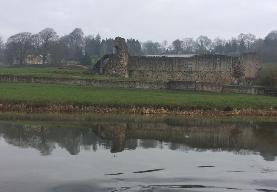
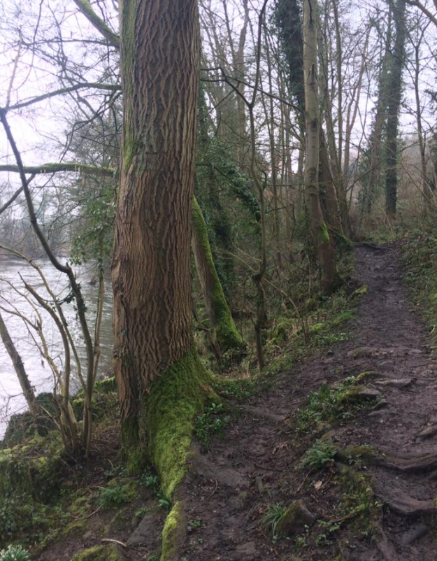
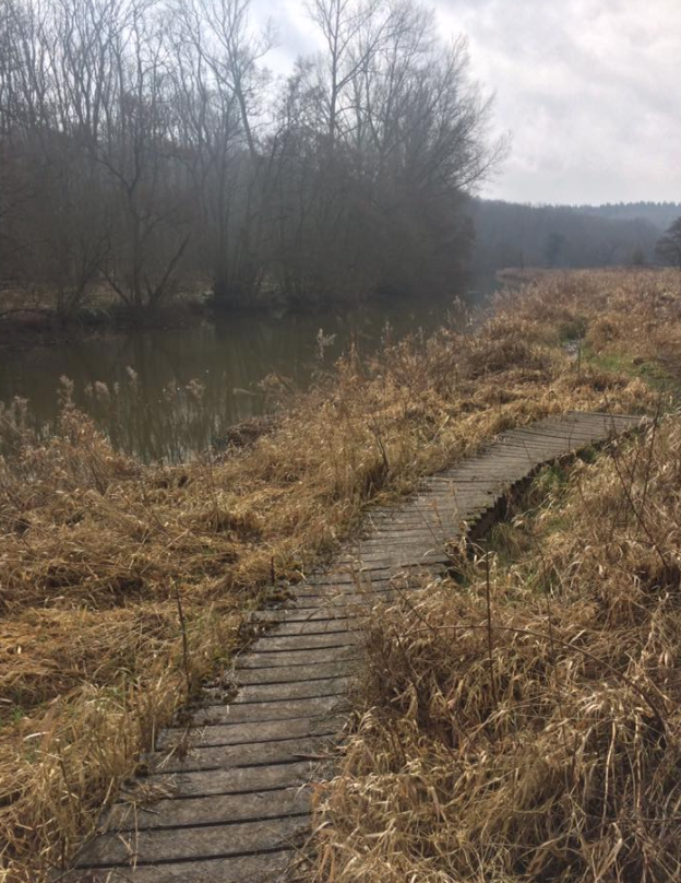
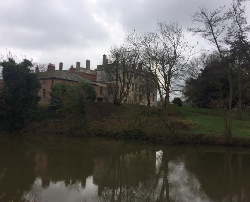
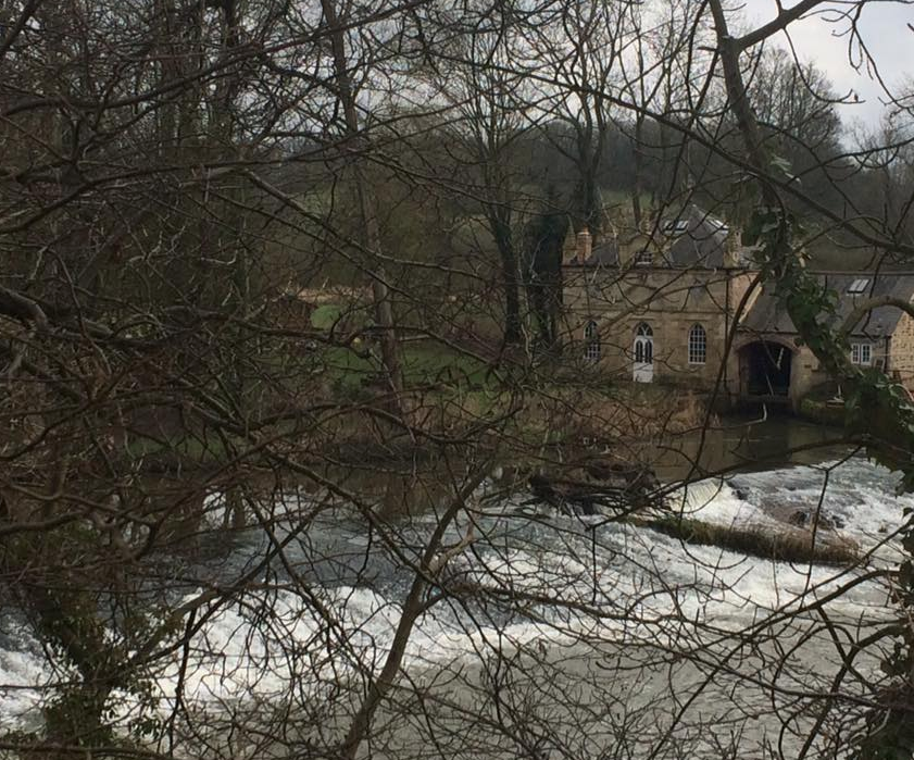
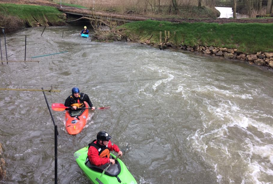
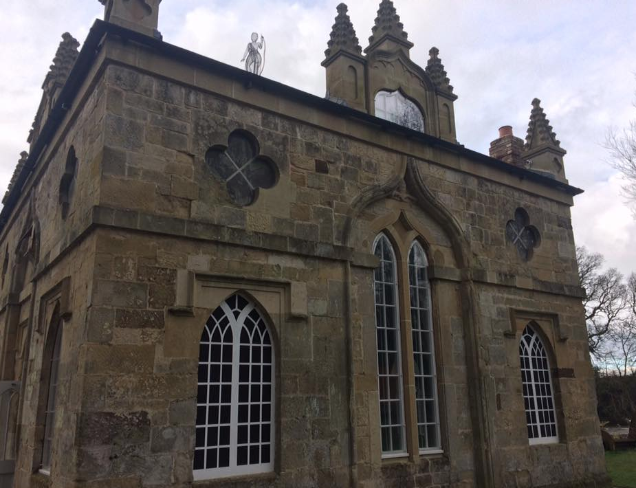
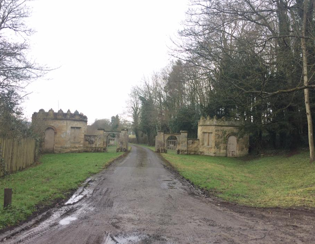
If you are a woman who likes walking, remember to join the Glamoraks community. Get inspiration, advice, meet other walkers for find walks. Access it here. Yesterday morning I was a bit cross. That is a euphemism for how much of a rage I was actually in. I grabbed my boots, filled my water pouch, shoved a waterproof jacket into my backpack and headed out. I needed miles of space to help me simmer down. But it had to be somewhere not too far from York and I wasn’t in the mood for my normal stomps. I recalled having cycled past Kirkham Priory once, which is set along the banks of the Derwent River. A quick Google search showed a circular walk from the priory. ‘Right, that’ll do,’ I muttered and drove off. Fifteen minutes later I found myself in the peaceful sanctuary of Kirkham. Getting out of the car, I turned to Google to check the route, only to discover that there was no internet signal. Ah. Well the good thing about the UK is that you don’t have to walk far before you stumble upon a public footpath sign. So that’s what I did. Leaving my car at Kirkham Priory carpark, I walked back over the bridge and found a footpath sign pointing left along the riverbank. I vaguely recalled the walk being along the river, so I set off. It was a pretty setting with the fast flowing river tumbling over a weir and the ruins of the priory brooding in the mist. I followed the path, which quickly resembled a bog. Cursing the fact that I hadn’t bothered with gaiters, I soldiered on still too cross to care how muddy I got. After about 20 minutes I passed a fisherman relaxing in the perfect spot. He gave a cheerful greeting and told me that one of the bridges further along was down but that I should be fine. I kept walking. It was hard work, the slippery mud making each step a good deal more difficult than it should be. I was feeling less angry but still hadn’t found my happy place. I kept walking. After about an hour I began to wonder if I was indeed on the route I’d read about because it seemed to just go in a straight line along the river, whereas the route I’d seen online mentioned all sorts of diversions and was only 5 miles long. I checked my phone and there was just enough of a 3G signal to show me that I was indeed going in the entirely opposite direction to the one I was meant to be heading in. Excellent navigational skills by me then. I looked on Google maps and saw that the path would intersect a road eventually and that I could walk back to Kirkham along that road, which would be significantly easier than stumbling in the mud. Shortly thereafter I came upon two lovely fishermen. Reet proper Yorkshiremen, who confirmed that there was a road up ahead, ‘just by t’bridge and t’mill.’ I asked them about the imposing building on the opposite bank and was informed it was Howsham Hall, a private residence. Not a bad pad really. After a bit more of a chat, I carried on with a cheery, ‘Av a good day luv,’ ringing out behind me. My rage from the morning had dissipated. I began to feel a smile creep on my face. As predicted by the fishermen, I soon came upon t’mill, an old building with all sorts of odd machinery around it. It was a pretty spot and I waved hello to some kayakers who were trying to drown themselves in the churning water below. I ambled on toward t’bridge when a man, squeezed into a wetsuit, walked towards me in the opposite direction. ‘Had a swim?’ I asked. ‘Been kayaking,’ he said with a smile, nodding towards where the others had been. I asked him if I would find Kirkham by turning right on the bridge ahead. ‘Yes, but you should take a look at Howsham Mill first before you go if you’ve not seen it before.’ He explained how I might find it, what it was all about and wished me a pleasant day. Just as I neared the bridge, a long parade of tractors drove past in a riot of noise. Only in Yorkshire, I thought as the last of the farmers gave me a cheeky wave as he passed by. I crossed the bridge to the far side of the river, ducked underneath it and walked the short distance to the mill. The kayakers had made their way there two and were tackling a slalom course complete with gates and masses of very fast flowing water. I had absolutely no idea that you could do kayaking like this so close to York. After watching them, a man came out of the building and walked towards me. I felt like a bit of an interloper, but said that the kayakers had suggested I come and take a look at the building. The man was very happy to have a visitor and I was given a personal tour. Apparently Howsham Mill was built in 1755 by the family who owned Howsham Hall. They didn’t enjoy looking out from their estate windows onto a working mill (how ghastly!) so they had a faux hunting lodge designed and constructed by York architect John Carr to obscure the mill from view. It featured a lead statute of Diana, the hunter on its roof. The mill served the local area, grinding their grains and animal feed for 200 years. The mill fell into disrepair in 1947 but in 2003, it was purchased and the Renewable Energy Trust was formed to save the building. It has since been completely restored, including a replica carbon fibre statue of Diana on the roof. A replica water wheel has been fixed into place and you can watch it churning away with impressive power. But even more impressive are two huge Archimedes screws that act as electricity generators. The power they generate not only gives the building electricity, but it’s also fed back into the national grid, which in turn pays the site money for continued redevelopment. The entire place is now completely sustainable with rain harvested water, its own generated electricity and composting toilets. It is used as a place schools can take children to teach them about nature, history and engineering. And it can also be hired as a quirky, private venue. It’s still a bit rough around the edges but it’s a lovely space and I was very pleased to have found it. I thanked the man for the tour and headed back the way I came. I saw the kayakers again, this time changing out of their wetsuits. ‘Worth the detour?’ the chap I’d spoken to earlier asked. ‘Absolutely,’ I said and thanked him for the tip. ‘You enjoy the rest of your day now,’ he said. Every single person I’d met on that short walk had been absolutely bloomin lovely. By this point I was starving. That’s one of the problems of leaving in a huff. You forget to pack food. I picked up the pace so that I could get back home for a bite to eat. My route back was along a very quiet road towards Crambe. As I approached the level crossing just outside the village, the station manager was just swinging the gates closed as a train was coming. ‘Ey up luv, I’ll hold ‘em open for ya. The train’s not here yet. By ‘eck, your face is red!’ I thanked him for holding the gates for me and explained that I was walking fast, hence the bright red complexion. He seemed to find it hilarious. He confirmed that I was heading in the right direction for Kirkham, and got back to his gates. At last I came to a footpath sign for Kirkham – 1¼ miles. I followed it up a very steep hill, where a fellow walker sat with his picnic in front of him, admiring the view, which was spectacular when I turned around to appreciate it. After pointing me towards the right gate, I walked the last part of the route through a forest on the top of a hill, before rejoining the road down the steep hill into Kirkham. The best walks are the ones you find by chance and manage to navigate with the help of friendly locals rather than a map. I'd stumbled upon a serendipitous three hour, roughly 7-mile walk dotted with some of a friendliest folk I’ve yet to meet on a walk. My anger had completely gone. Fresh air, a chance discovery and beautiful scenery had performed their tonic. It's amazing what you find when you just put your boots on. Walk details:
What to take: Wellies! Or good boots. A picnic for the spot at the top of the hill. I did this walk alone, but it would have been fab with company too. If you battle to find people to walk with, join Glamoraks, an online global community of women who walk. |
Categories
All
Archives
July 2024
|
Get social. Follow us.
|
Don't get left out.
Add your email to be alerted about any Glamorak events, walks, get togethers, challenges or news.
Success! Now check your email to confirm your subscription.



 RSS Feed