|
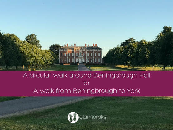
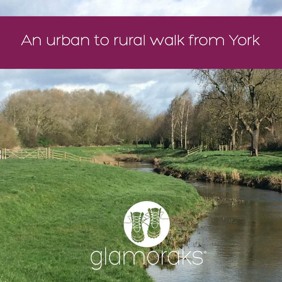
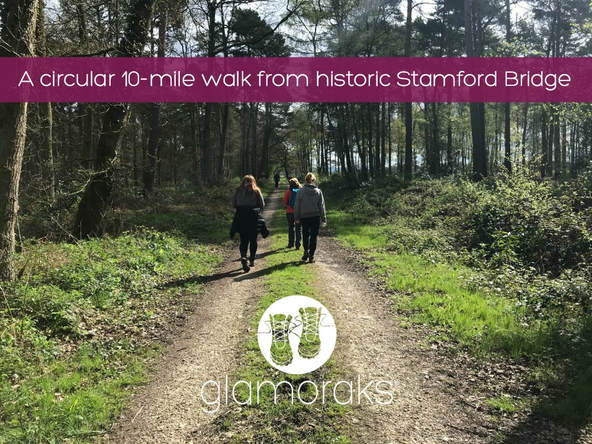
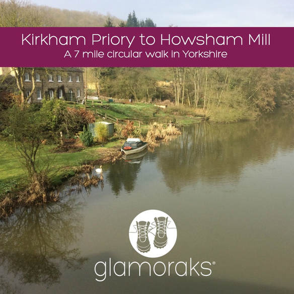
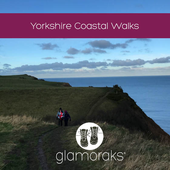
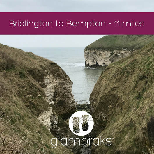
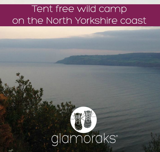
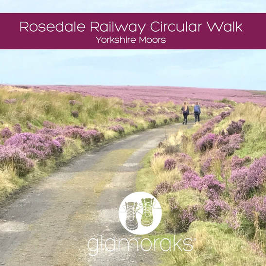
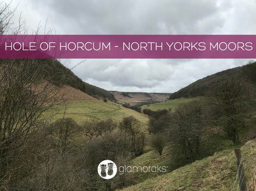
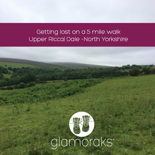
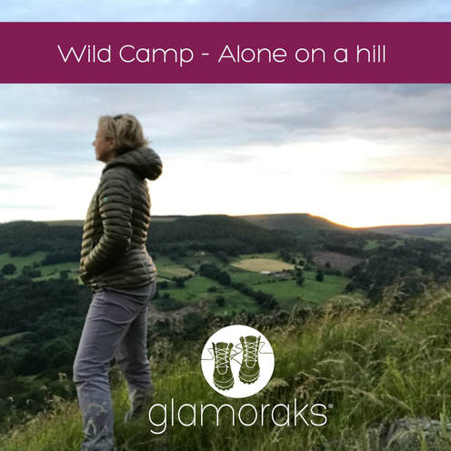
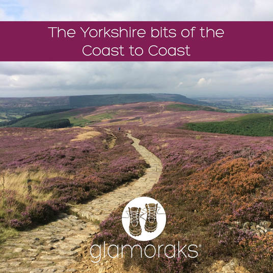
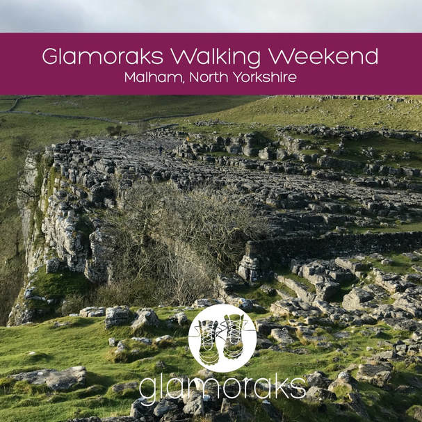
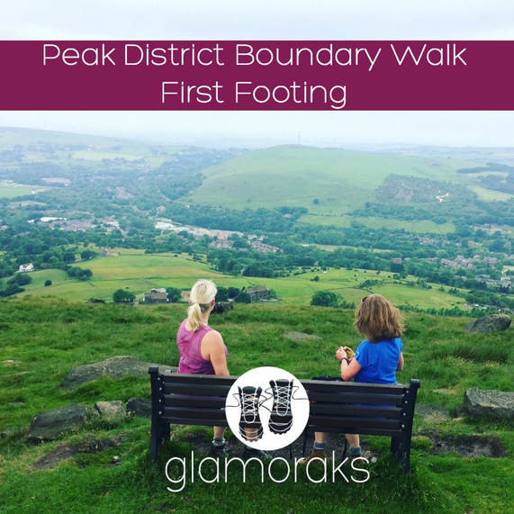
1 August is Yorkshire Day. To celebrate the splendour of God's own county, here is a round up of some of the walks I'd recommend you do in Yorkshire. We are absolutely spoilt for choice with so many exceptional places to walk that this list is by no means conclusive. It doesn't include some of the more famous routes like the Cleveland Way, Dales Way, Wolds Way, the Pennine Way, Lady Anne's Way, the Ribble Way or the Herriot Way. Frankly, there are so many splendid walks to choose from, your biggest challenge is going to be finding the time to do them all. So whether you're looking for a city walk, an urban stroll, a multi-day hike, a coastal caper or a good long stomp in the wilds of the moors or dales or Northern Peak, you are sorted. RIVERSIDE WALKS1. Beningbrough to YorkClose to York yet completely rural in feel, this is either a short 3-miler along the river, doing a circuit around Beningbrough Hall. Or make it longer and walk 8 miles from Beningbrough all the way along the river Ouse into York City Centre. Details here. 2. York Minster to Sheriff HuttonThis is the first part of the centenary way, a multi-day walk running from York to Filey. But it's a great way to explore the surrounding York countryside starting right in the heart of town. Follow the river Foss out and either stop in Strensall or continue on to Sheriff Hutton. Details here. 3. Stamford Bridge circularStamford Bridge is a village in the East Riding of Yorkshire. With a pretty centre and plenty of history, this is a flat, circular walk that takes in the river Derwent. Details here. 4. Kirkham Priory to Howsham MillAnother walk along the Derwent, this is a pretty circular walk that takes in the ruins of Kirkham Priory and the delightful Howsham Mill. Details here. COASTAL WALKS1. Whitby heading SouthFrom Saltburn to Bridlington, the Yorkshire coast is a gem for walkers. One of the most popular stretches if you fancy making a weekend of it is to head from Whitby to Robin Hood's Bay and back again. It's roughly 6 or 7 miles each way, depending on where you start. But you can also start further north from Sandsend and end at Boggle Hole, just after Robin Hood's Bay, spend the night and head home the next day. Or try starting at Whitby, walk to Ravenscar, return and stay at Boggle Hole or Robin Hood's Bay and return the next day. Details of these walks can be found here and here. 2. Scarborough to FileyWalk the final stage of the Cleveland Way as you leave the bustle of Scarborough behind, hugging the coast until you reach Filey Brigg. It's roughly 10 miles of gorgeous walking. Details here. 3. Bridlington to BemptonIf you're a bird watcher, this is the walk for you. It takes in the incredible Flamborough Head, many beaches and RSPB bird watching platforms to get up to close to the myriad of sea birds that nest along this stretch of coast. Details here. 4. A wild camp on a coastal pathThis is just a short walk of no more than a couple of miles, depending where you choose to stop, but if you fancy a bit of an adventure, try heading out from Robin Hood's Bay and sleeping under the stars along the coastal path. Just be sure to leave no trace and don't sleep too close to the cliff edge. Details here. NORTH YORKSHIRE MOORS1. RosedaleA gorgeous valley and open moorland that can be done in a circuit of different lengths depending on your stamina. They take in the old mine buildings that dot the path. Details here. 2. The Hole of HorcumThis is a stunning 7 mile walk in one of the North Yorkshire Moors most famous viewing spots. The Hole of Horcum is a giant punchbowl that includes walking along the moorland tops and in the valley, with a lovely pub midway. Details here. 3. Upper Riccal DaleThis a short 5 mile walk just north of Helmsley, that takes in the gentle agricultural side of the moors, but with some great views from the top of the ridge. Details here. 4. Helmsley to RievaulxThis is a glorious 7-mile walk from Helmsley to Rievaulx and back again. It is actually stage 1 of the Cleveland way and is bookended with Helmsley castle and the ruins of Rievaulx Abbey. Plenty of lovely tea shops to choose from too. Details here. 5. Wild camping in the North Yorkshire MoorsWhile not strictly allowed, if you are sensible, leave no trace and don't start fires, a wild camp on the moors is a lovely way to experience the peace and splendour they afford. Here are two wild camps (locations not revealed) to give a flavour of it. How far you want to walk to reach your camp spot is up to you. Wild camp 1 Wild camp 2 THE YORKSHIRE BITS OF THE COAST TO COASTThe coast to coast is a 192-mile path running from St Bees in Cumbria through to Robin Hood's Bay in Yorkshire. The Yorkshire section starts once you cross the Pennines after leaving Kirkby Stephen and takes in some magnificent stretches of the Yorkshire Dales, North Yorks Moors and the Yorkshire Coast. You don't have to do the whole thing - just pick one or two of these stretches for a day or two of gorgeous walking. Note: the bit from Richmond to Danby Wiske and Danby Wiske to Ingleby Arncliff are probably the least exciting. I've included them in case you'd like to do the full Yorkshire stretch but I wouldn't pick them for a day walk. Kirkby Stephen to Keld Keld to Reeth Reeth to Richmond Richmond to Danby Wiske Danby Wiske to Ingley Arncliff Ingleby Arncliff to Blakey Ridge Blakey Ridge to Grosmont Grosmont to Robin Hood's Bay YORKSHIRE DALES1. MalhamMalham is a jaw-droppingly beautiful bit of the Yorkshire Dales with a number of walks you can do regardless of your fitness. A gentle stroll to see Gordale Scar and Janet's Foss; something a bit more taxing as you climb to the top of Malham Cove to see the stone pavement of clints and grikes; or even further up to Malham Tarn. Details here. 2. The Yorkshire Three PeaksMany people take on the famous Yorkshire Three Peaks of Pen y Ghent, Whernside and Ingleborough as a 12 hour challenge. But you don't have to charge your way around. You can pick them off one at a time or two them over two days. This is the scenery that will take your breath away. Details here. YORKSHIRE BIT OF THE PEAK DISTRICTA new boundary walk that takes runs the whole way around the Peak District opened in 2017. The northerly bit of the Peak is in Yorkshire and includes more spectacular moorland walking. This section runs from Greenfield to Marsden. And there's a very welcome pub at the end. Details here. As I said, there are so many walks to be done in Yorkshire. I know that this is just a tiny sample - but they are ones which I have personally walked and written up. I'd love to hear about yours, so please do share any Yorkshire walks you've written about in the comments below.
If you are a woman who loves to walk, please join Glamoraks, an online community that helps women find other women to go walking and adventuring with together. You can also join the Facebook group here. Both are free.
1 Comment
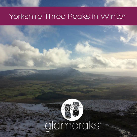
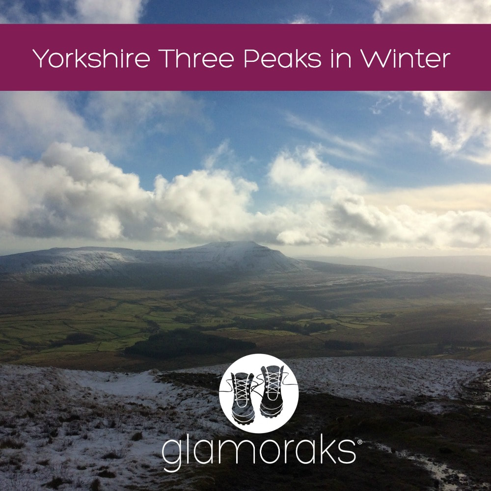
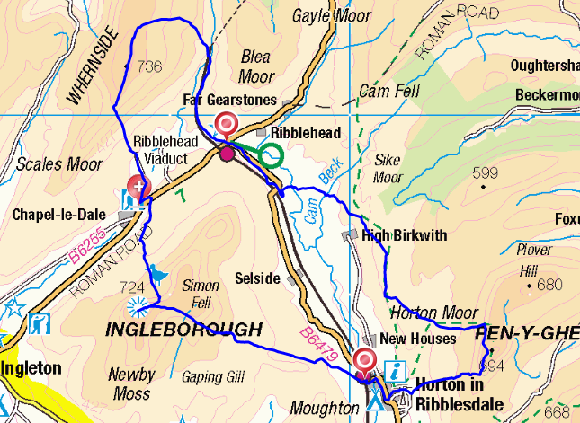
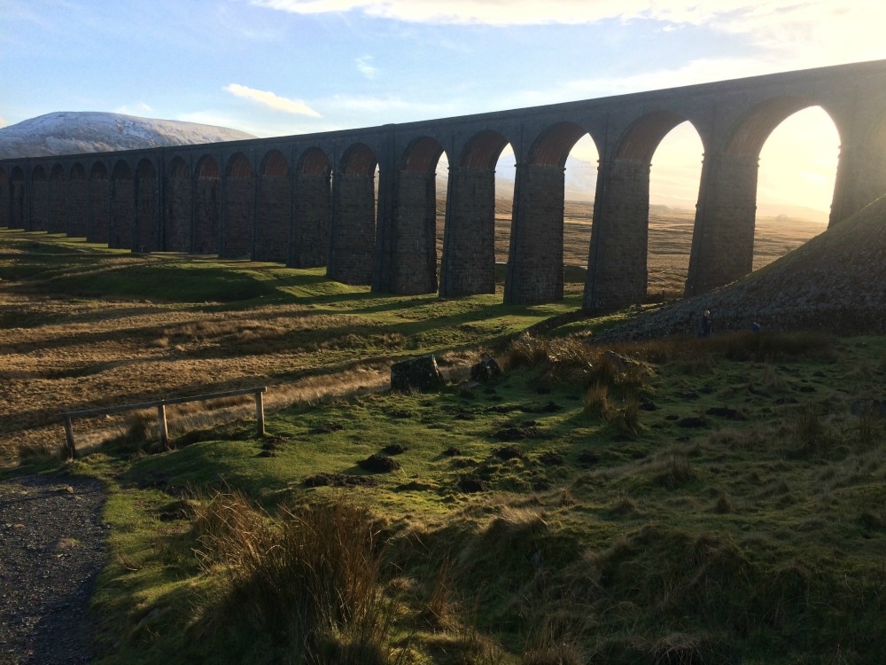
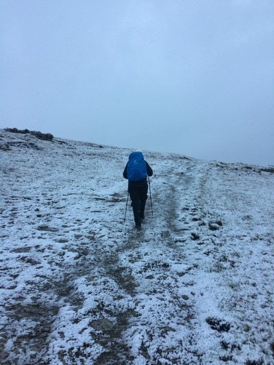
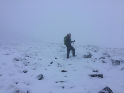
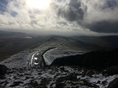
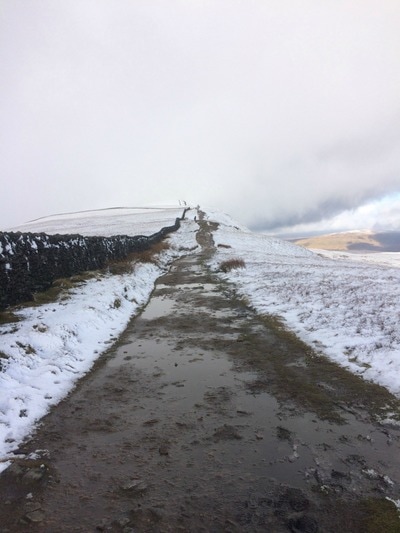
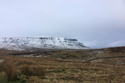
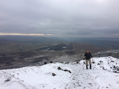
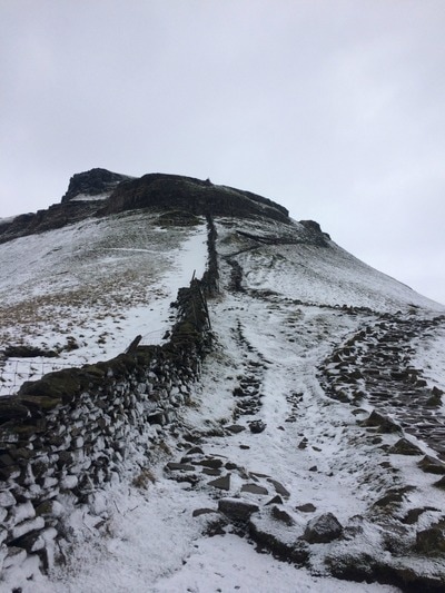
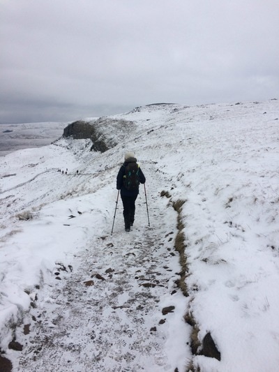
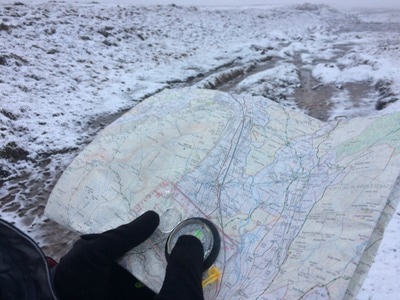
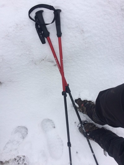
The Yorkshire Three Peaks of Pen-y-ghent, Ingleborough and Whernside are notoriously done as a challenge in which you climb all three and walk the 25 mile route in under 12 hours. Perhaps it was this level of exertion that had stopped me from visiting the area. But in need of a final big stomp and taxing hills as pre-Kilimanjaro training, I thought it was time I tackled them ..... over two days. Given the lack of daylight hours in winter, I felt this to be the more sensible option instead of getting lost in the dark. I'd walked in the Yorkshire Dales as part of the Coast to Coast. My impression was that of rolling green hills, bubbling rivers, lots of stone walls and derelict stone barns. It was pretty and gentle. The Three Peaks bit of the Yorkshire Dales National Park is nothing like that. It's dramatic, stark and vast, with pockets of picture-book prettiness like the Ribblehead viaduct in between. It's a place that absolutely should be on your bucket list to visit. The route The challenge route typically starts in Horton-in-Ribblesdale, goes up Pen-y-ghent first (694m), then onto Whernside (736m) and ends with Ingleborough (723m) to wipe you out. It can be done clockwise or anti-clockwise and you can also be started in Horton, Chapel le Dale or Ribblehead, all of which have accommodation. We decided to base ourselves in Horton, arriving on the Friday night so we could head off bright and early on Saturday. Our plan was to go in reverse, taking in Ingleborough and Whernside, catching the train from Ribblehead back to Horton-in-Ribblesdale in the evening, and then climbing Pen-y-Ghent directly from Horton the next morning, skipping the long trudge between Pen-y-Ghent and Whernside. This would give us time to get back and collect kids from long suffering friends. But in hindsight, we could have done this a lot better. At just over an hour and a half from York, we could have got there for 9.30 and saved ourselves the cost of accommodation for the first night (and the breakfast disaster the following morning - more below). We could have parked our car in Horton and climbed Ingleborough and Whernside, staying at the Station Inn at Ribblehead overnight. It offers B&B rooms, plus it has bunk barns and camping as options. The staff we met were friendly, the food is hearty and it is right on the Three Peaks route meaning you don't have to divert and add extra miles. On day two, we could have walked to Pen-y-ghent, climbed it and returned to our car. You can also catch a train from Horton as it's on the Settle Carlisle line. Accommodation In Horton-in-Ribblesdale there are two pubs - The Golden Lion and the Crown. Choose the Crown. We made the mistake of choosing the Golden Lion. The staff could not have been less friendly. The 'continental breakfast' (which is all you can get if you want an early start) was four plastic tupperware boxes of stale cereal, a jug of milk and some artificial orange juice. No tea, coffee or toast. The second morning we were there, we'd arranged for the Full English for 8.30, the earliest they will serve it. Except they didn't. No-one turned up. So I would avoid it and choose somewhere else to stay. There is a pub in Chapel le Dale - The Old Hill Inn - which gets good reviews. And the Station Inn mentioned above is another option depending on where on the route you want to break. The walking Each of the peaks has one side that is steeper than the other. If you're going anti-clockwise starting with Pen-y-Ghent, you hit the steep bit on the way up with a more gentle descent. Whernside has the gentler ascent and a very steep down, while Ingleborough has a very steep ascent and more gentle descent. Obviously these are all reversed if you do them in a clockwise direction. Whichever way you do it, you are going to have at least one very steep ascent and one very steep descent. There are also plenty of flat bits and more gradual inclines and declines in between. The route is signposted but I would strongly recommend taking an OS map (you will need Ordnance Survey map OL 2) and a compass too. When we walked, we were hit with a blizzard and we could easily have got lost without our map and compass as visibility was non-existent. In fact the trig point on top of Ingleborough was just 4 metres from us when it finally became visible through the snow. Should the clouds clear, the views from the top are breath taking (as is the climb to get there), and it makes all the huffing and puffing worth it. There were a few challenging bits. The climb up Pen-y-ghent going up the steep way from Brackenbottom, was particularly tough because the snow the day before had iced over. There is a section where you need to scramble up boulders, which when icy, didn't give a very firm grip. Similarly, the steep descent down Ingleborough (bearing in mind we did it clockwise so we had the steep bit going down) was tough on the knees, while the slog up to Whernside was particularly unrelenting with a climb that never seemed to end. Pen-y-Ghent was the busiest of the three peaks, Ingleborough the least busy but that may have been due to the weather which hit at the time we climbed. Ingleborough and Whernside above. Pen-y-ghent below What to take You will need proper waterproof walking boots for this walk and I'd strongly advise gaiters too. I used walking poles and found they helped both on the ascents and descents, as well as keeping balance in the icy patches. Definitely take layers, including warm stuff, hats, gloves and snood, plus waterproofs. The weather at the top of the peaks can be pretty fierce so it's best to have everything you might need. Take plenty of water and a thermos of hot tea is very welcome on a cold winter's day. You will need a packed lunch as you are out for a fairly long time with few (any?) places to get a bite. The Station Inn serves food all day, but most other pubs seemed to only open after 5 or 6pm in winter. Don't forget a camera for the incredible views! Glamorak tips
I wouldn't recommend walking this on your own in winter. It gets properly fierce up there, so for safety, I'd go with others and at least someone who can read a map. You will need a reasonable level of fitness to get up the hills. For a girly weekend, it would be great, starting in Horton, staying in Ribblehead or Chapel le Dale, and returning to Horton the next day. Don't expect luxury accommodation. The pub rooms will be very basic and the food more filling than gastronomic. But you just need a place to lay your head, a hot shower, a warm meal to refuel and a glass of wine or beer after a big walk. And you'll certainly feel as though you've been away for a lot longer than a weekend. If you want to meet other women to go on walks like this with, join the Glamoraks global online community. |
Categories
All
Archives
July 2024
|
Get social. Follow us.
|
Don't get left out.
Add your email to be alerted about any Glamorak events, walks, get togethers, challenges or news.
Success! Now check your email to confirm your subscription.



 RSS Feed