|
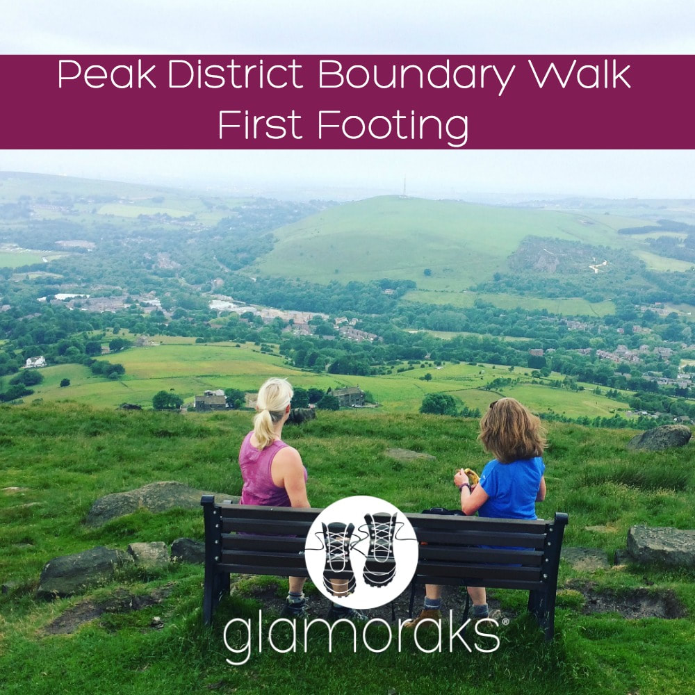
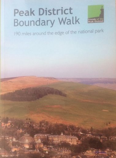
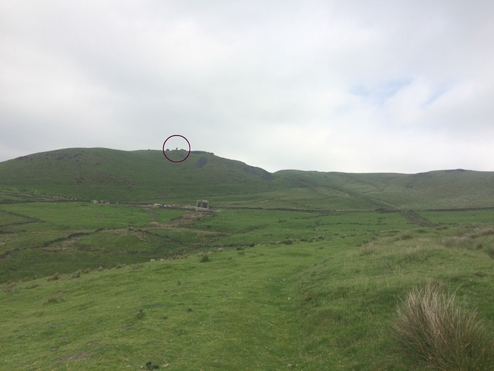
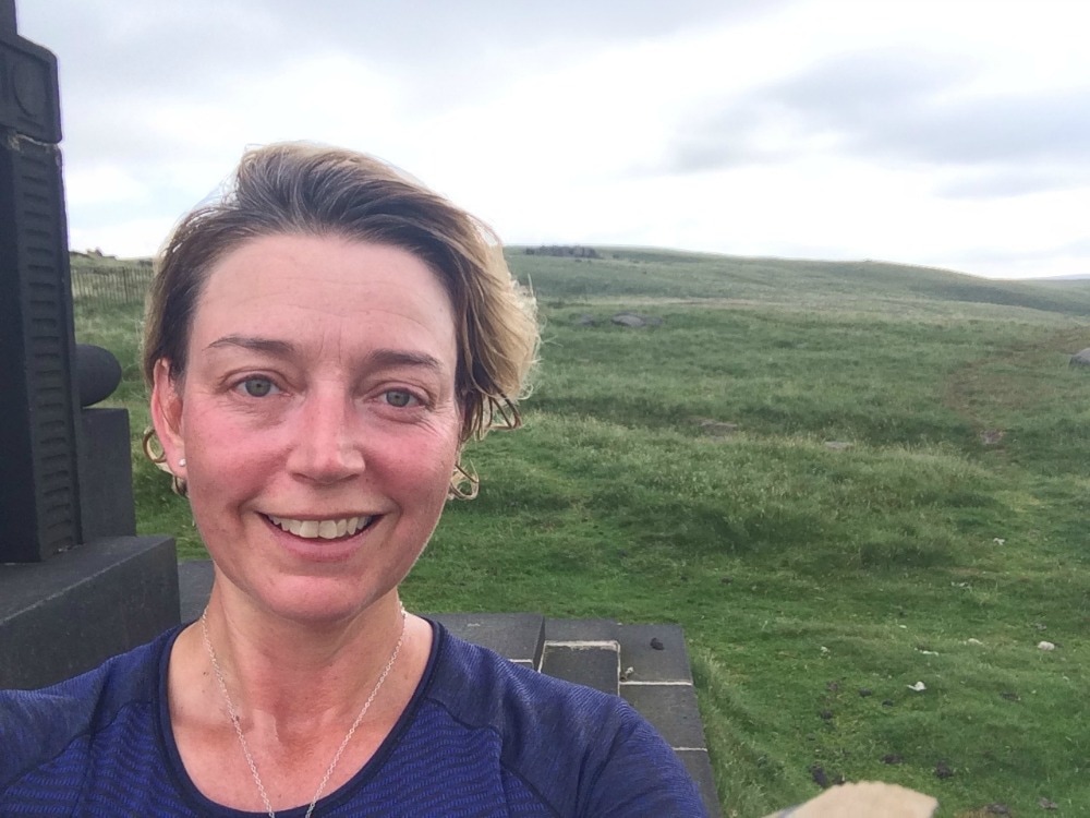
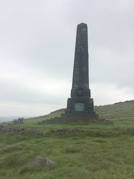
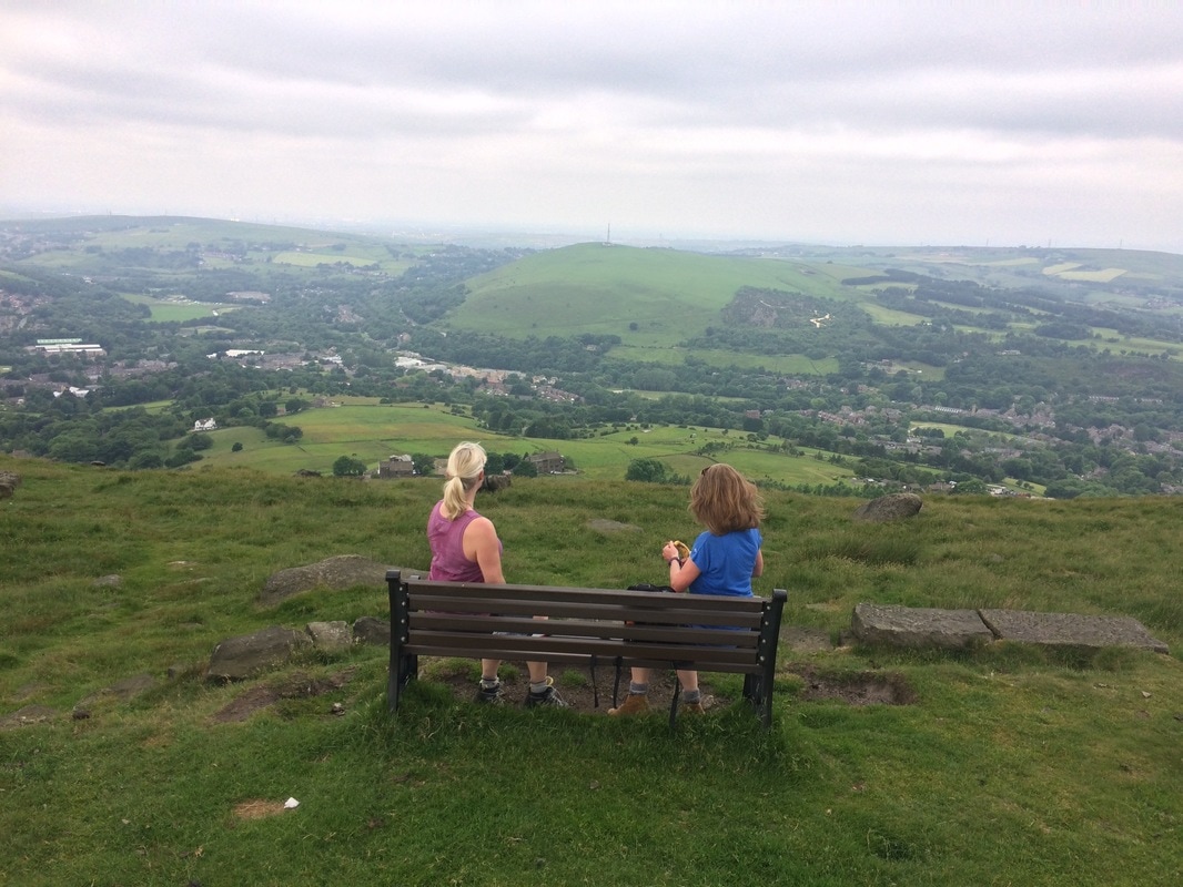
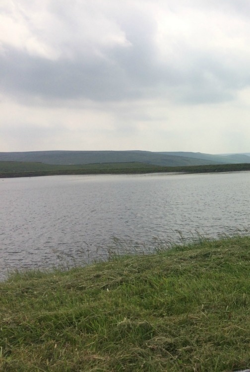
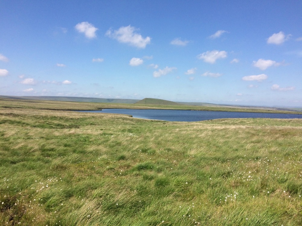
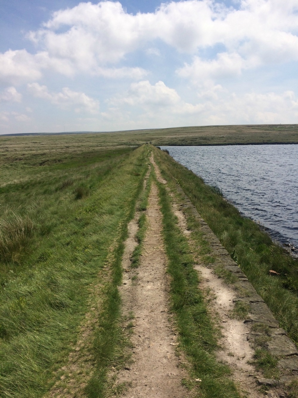
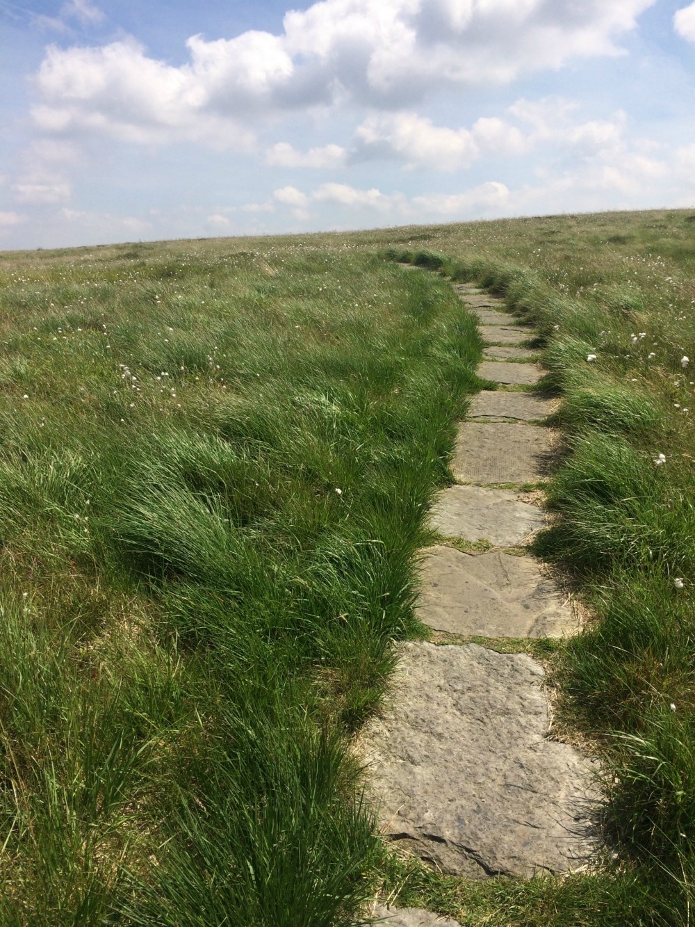
Distance: 10.6 miles Ascent: 597 metres Type: Rural, farmland, moors Terrain: Tracks (some overgrown), dirt tracks, stone slabs On 17 June 2017, a brand new long distance UK trail opened. Called The Boundary Walk, it is 190 miles long running around the edge of the Peak District National Park. A few Glamoraks and I headed off to have a first footing of the path. We decided on the Greenfield to Marsden leg (stage 5) mainly because it had a train station at the start and end of the stage. It also looked - on paper - as though it would cover some wild moorland and had a good amount of hills in it. Catching a train from York at 8.30, we were in Greenfield for 9.40 and were kindly picked up by the walk organiser's friend who took us to the start at Dovestone Reservoir (although you could walk from the station and simply pick up the path from Hollins Lane). Despite looking around for others who were meant to be walking the same leg, we couldn't find anyone, so at the allotted start time of 10am, we set off. We did ask around at the car park but whenever we mentioned we were walking to Marsden, we were greeted with open mouthed disbelief or teeth sucking as though we were out of our minds for walking such a long way (it really isn't that far!) We used the newly published guide book (pic below). Almost immediately we were slightly puzzled by where we should be going. The words and the map in the book didn't quite correlate. Switching on google maps on our phones, we finally figured out where we should be heading and got started. (Top tip: if you're doing this leg, when you get to the Dovestone Reservoir carpark and you're at the public toilets, you walk away from the sailing club and out of the carpark along the road you would have driven in on, until you hit the main busy road ahead. The instructions in the book make sense from there). Almost immediately, the 597 metres of ascent made itself felt as we began a long, hot climb to the top of a hill where an impressive obelisk awaited. We caught our breath and had a snack while we admired the expansive views from the hill top. We set off again along the edge of Saddleworth Moor, with stunning scenery off to our right. Just as we were getting into our stride, we had to descend again down to a small village called Pobgreen. It had an inviting looking pub and we were ready for our lunch by this point, but we had to soldier on as we had a return train to catch. Just a note here: as you head down the lane to Pobgreen you will get to a point where you can keep following the lane or take a stile and footpath sign directly in front of you. Stay with the lane. Leaving Pobgreen behind us, we climbed another hill before descending again to another little hamlet. It was here that the guidebook left us feeling a little confused once again. The book said: Follow the lane downhill and once rounding a slight bend, you should see the public footpath fingerpost on the right hand side of the lane, at the edge of a property. Continue past the property and along a narrow fenced-in path. We had no idea whether that meant we had to take the footpath or walk past the house and take the next footpath. We walked back and forth a few times before deciding to take the very narrow path behind the house as indicated by the fingerpoint sign. And it was the right choice. We soldiered on through fields of sheep, before crossing a bridge, and heading up another hill with the sound of a shooting range echoing around us. At last we got to the Brun Clough Reservoir, where we had a brief picnic lunch and aired our hot feet. Until this point, the sun had stayed hidden behind clouds but it was super humid. After lunch we joined the Pennine Way and made our way across the gorgeously wild and remote moorland, passing several reservoirs as we went. The sun was now blazing and the brown peaty water looked very tempting for a dip. At one of the reservoirs (Black Moss) there was even a tiny beach, which would make an idyllic wild camping spot. We didn't have a swim but carried on as the temperature rose. The book said that we should look out for a stone platform and little mast, which we found. But - a note of caution for anyone following the book - at this point you need to turn the page and read the next set of instructions, rather than blindly following the path (as we did). As a result, we missed a steep path that ran down the side of the hill that we should have taken. Luckily, the path we took eventually reconnected with the path we should have been on, and we got to avoid a knee killing downhill plus we got to see a pretty waterfall. So I'm not sure why the route we took isn't the actual route, but there you are. By this point the temperature was in the high twenties, not a cloud in sight. We had a choice. Continue with the route as per the book, which would have meant a longer, much steeper climb up to the ridge line. Or follow a path alongside the reservoirs and get into Marsden to catch the train on time. We chose the latter! This last stretch was baking. I'm sure the views from the ridge line would have been more spectacular, so if you're doing the walk on a cooler day, I'd suggest you do it! At last we got into Marsden where crowds spilled out of the Riverhead Brewery Tap, ice cold pints in hand. They looked thoroughly tempting and should you be doing this walk, this would be a good place to stop for a refreshing drink. Sadly we had to rush on to get to the station, where we ran into a hilarious group of young men on a stag party, stopping at each station on their way to Leeds for a pint. They were only three stops in and things were starting to get messy. We bid them farewell and got back in York by 5pm having walked just under 11 miles. I'd got to see parts of the Peak District I'd never seen before that were stunning, wild and good for the soul. And we'd done a good amount of hill climbing. I got through 3 litres of water! If you go on a hot day, take a lot of water with you. Then it was time for a quick shower and transformation into evening wear for a ball. And that's what it means to be a Glamorak! Squeeze a bit of the outdoors into the everyday. Don't forget to join the Glamoraks community. That's where you find out about walks like these and get to meet up with people you don't know, make new friends and see new places. And subscribe to the Glamoraks newsletter here.
2 Comments
Nicola O'Keeffe
20/6/2017 10:56:06 am
I was one of the 3 glamoraks and boy was it hot but exactly as Melissa has described. I am not a seasoned walker and found the last couple of miles tough but think it was due to the heat and timescale of catching a train back to York . I do not know the Peak District either and would be keen to explore some of the other sections of the Boundary Walks , though this one was certainly lovely especially around the reservoirs
Reply
Leave a Reply. |
Categories
All
Archives
July 2024
|
Get social. Follow us.
|
Don't get left out.
Add your email to be alerted about any Glamorak events, walks, get togethers, challenges or news.
Success! Now check your email to confirm your subscription.


 RSS Feed