|
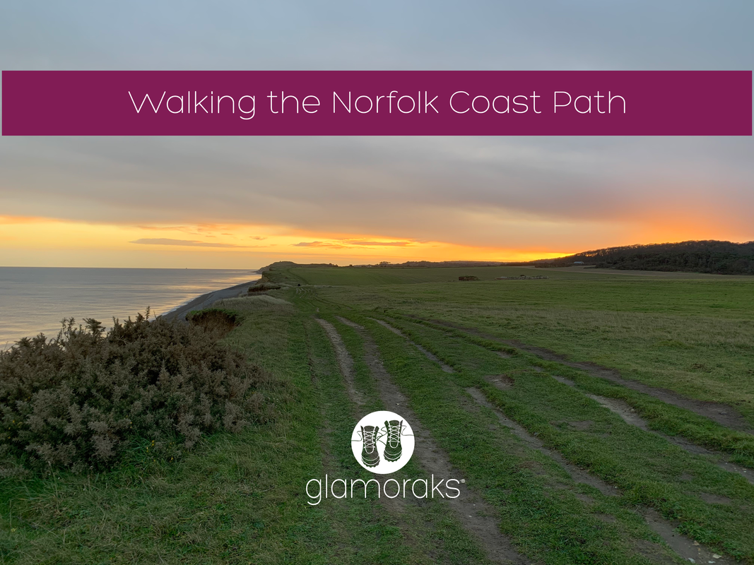
Just about every plan that I made in 2020 was foiled due to Covid. So when I had a long weekend just before Christmas, I cast about looking for somewhere I could go that was also a Tier 2 zone at that time, wasn't the other end of the country and was a multi-day walk that I could return to a base everyday to reduce Covid risks as opposed to staying in multiple places. Oh, and it had to be somewhere I wanted to go. Norfolk was the answer - the Norfolk Coast Path to be precise. At the time, it was tier 2 like York, and ticked every other box. I didn't have the time to do all of it as it's 84 miles running from Hunstanton to Hopton-on-Sea, but I did a good chunk. Using the Coasthopper bus, you can pick a base somewhere along the route and always make your way back again. Two points on the bus:
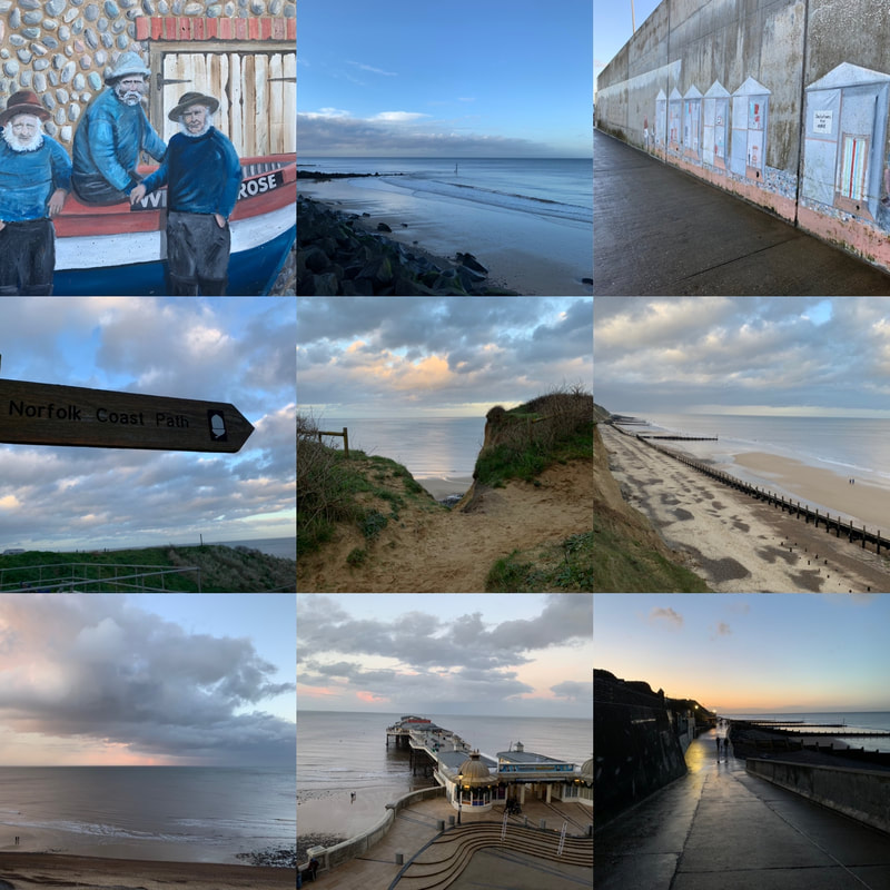
Day 1: Sheringham to Cromer (4.5 miles)I arrived after lunch so couldn't go for a long walk before it got dark, so as I was based in Sheringham, I did the short 4.5 mile walk along the coast to Cromer. Sheringham has a lovely promenade decorated with an art trail. Seaside scenes are painted along the length of the promenade, creating an outdoor art gallery on one side and beautiful views along the beach and out to sea on the other. The sandy beaches in Norfolk are broken up with groynes (wooden fences that stop beach sand being washed away by long shore drift - I only know this because I once had to help my 10 year old do a geography project and I've always wanted to share that valuable knowledge again). Anyway, besides row after row of groynes and idyllic views out to sea, with wind farms far offshore, there isn't much of note on this short walk other than Beeston Bump. And here I will quote directly from wikipedia or similar: 'Beeston Bump is a part of Cromer Ridge, a range of low hills left behind when the glaciers retreated at the end of the last Ice Age between 15,000 and 10,000 years ago. The hill was used as the location for a top secret ‘Y’ listening station during World War II and the concrete remains of this can be seen on top of the hill.' So there you go. You'll also walk past quite a few not very pretty caravan parks and an area of scientific interest where the fossils of an extinct elephant, twice the size of current African elephants, was found. Who knew?! Cromer itself is a bustling town with a pier, pretty church and plenty of places to get something to eat or drink. However, I caught the bus and returned back to my base as it was getting dark. I had hoped to retrace my steps but I didn't fancy walking through semi-populated caravan parks alone and as much of the path was along a steep cliff edge, that didn't seem sensible to tackle in the dark either. Oh well, I'd make up for mileage on day 2.
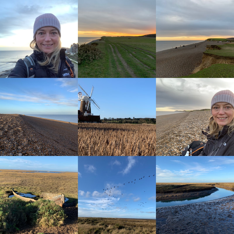
Day 2: Sheringham to Stiffkey (16 miles)Not wanting to get caught out by the lack of light again, i set off early. 7.30am just as the sun was rising - glorious. The early morning walk gave beautiful views once again along a cliff top. The path then drops down onto a pebbly beach and despite having the beach to myself - bar some anglers early on - it was tough going. Walking on pebbles kills the ankles but the serenity made it worth while. I sat on the beach having a coffee and watched a seal frolic in the sea in front of me - magic! Slightly less magic was the series of military buildings that run above the beach with large guns pointing out to sea and a weird beeping noise coming from somewhere..... I left that behind and made my way along the beach, with military buildings being replaced by marshland, a bird watcher's paradise. And indeed I saw many of those. I felt rather out of place not wearing green camo and without a long lens camera to hand. But the twitchers were having a fine morning admiring the birds. I made my way to Cley-next-the-sea that has a rather marvellous windmill and an even more marvellous coffee shop that sold giant scones and very good cappuccinos. Having refuelled, I set off again following the river Glaven out to sea before the path wove itself in and around marshland until Blakeney. From there, more marshland which at times looked like a boat cemetery teaming with birds. A handy sign saying Coasthopper showed me where to head up towards Stiffkey (pronounced Stookey just to fool people). I had really wanted to continue onto to Wells-next-the-Sea and I had daylight, just. But I no longer had phone battery and didn't want to get lost out on the marshes without it. So I headed into Stiffkey and passed the time waiting for the bus in the Stiffkey stores, which are definitely worth a visit. Lovely gift shop and I could have bought myself many Christmas presents had I had a bigger backpack. They also sell coffee! The bus stop is right outside the store, making it easy to get home.
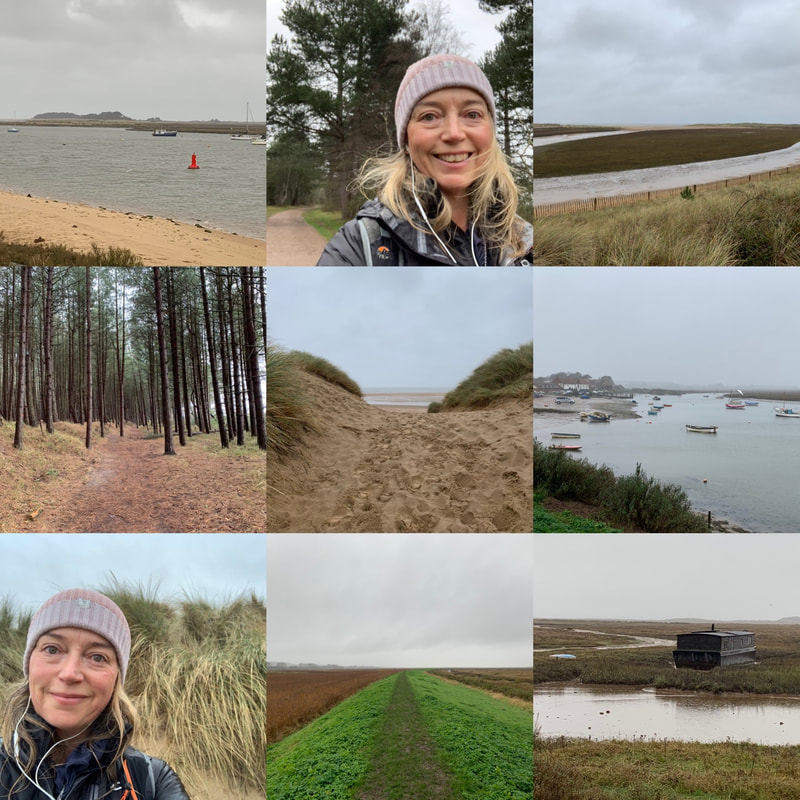
Day 3: Wells-next-the-Sea to Burnham Deepdale (12 miles)This was a very, very wet day. Torrential rain and wind that blew it sideways into my face - but that's the kind of walking that makes you feel alive. While I really wanted to walk that missing gap between Stiffkey and Wells, as the buses require a change at Wells, I decided it would have to be missed. I drove to Wells instead, parked on the quay side, got a coffee to stave off the cold and headed off. From the quayside, there is a long walk along a causeway down to the sea. When you get there, instead of heading onto the beach, you follow a woodland path that runs behind the sand dunes. It's pretty and peaceful but I wanted to see the sea. At last, you pop out at Holkham Gap (incidentlly there is a visitor centre here and loo.....because you know, the coffee you started out with.) And here you at last walk along the beach with views out to sea. You can also walk along more forest, just as pretty but I wanted to feel the wild sea wind blowing my face off. You track this section for what feels like a long time, with the scenery changing again, this time grass covered dunes. I was entirely alone in amongst them and felt like I was the last person on the planet. No pandemic or risk of infection - just me. Alone. After stopping for a little rest on the beach, I trekked along a raised dyke across marshland, with plenty of birds to look at as I went. I arrived at Burnham Overy Staithe and was tempted to call it a day due to just how wet it was. My waterproofing had given up and was now causing seepage. But I hadn't travelled to Norfolk to give up because I was damp. I soldiered on. I almost immediately regretted that decision. The bit from Burnham Overy Staithe to Burnham Deepdale is a long, long, long trek across marshland where there is very little to see in any direction. In fact I'd go so far as to say it felt a bit scary being quite so stuck out in the marshes miles from everyone. I know in reality it wasn't that far away, but it felt it. What made it worse was the mud. Every step taken forward meant a half step slide back or sideways. It was an epic work out, particularly when I realised that I had just 40 minutes to make the next bus or have to wait in the rain a full hour for the next. So I attempted to run. You try running in heavy boots on slippery mud.... Anyway, I made it with five minutes to spare looking like a drowned rat. I caught the bus back to Wells, got my car and got back to my base to heat through. I had hoped to walk from Burnham Deepdale to Hunstanton, the last bit of 10 miles, but I had to get back and be a mother. I did however drive the route and a lot of it looked similar to the marshlands of the day prior, so I felt I'd seen enough of that for a while. In short, it was a lovely mini multi-day walk with scenery that really does change every few milies. Who knew there were so many different types of shore lines? I do now. If you would like to do a walk like this but want company, join the Glamoraks App or Facebook group (it's free) and find like-minded women to walk with.
1 Comment
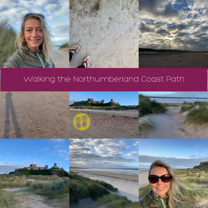
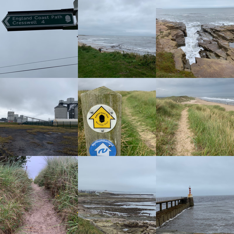
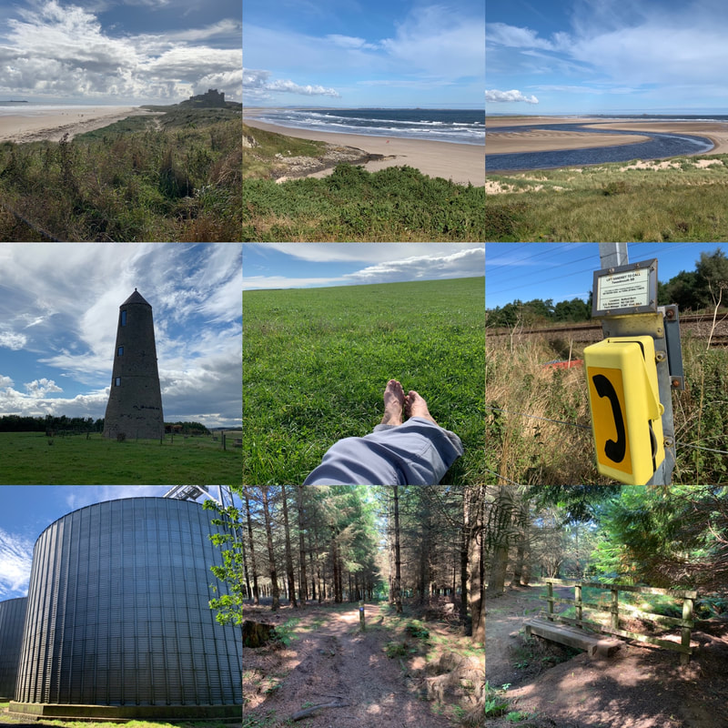
In late August/early September 2020 I was meant to do the Tour du Mont Blanc. But the global pandemic had other plans. With time off work and in need of an adventure, I decided to walk the Northumberland Coast Path solo, carrying what I needed on my back. I didn't fancy camping and lugging all that kit with me, opting for any available accommodation. This proved tricky as accommodation was in very short supply and so I couldn't follow the itinerary suggested by the official route. The Northumberland Coastal path runs from Cresswell in the south up to Berwick-on-Tweed in the north, a total of 62 miles or 100km of coastal walking, littered with castles and history. If you've never been to Northumberland. then you need to add it to your list of places to go. It is jaw-droppingly beautiful with plenty of little coastal villages to explore or take refuge in when in need of tea/cake/chips/wine. And given some of the weather I faced, refuge was certainly needed at times. I decided to tag a bit onto the beginning, by starting at Newbiggin-on-Sea to enjoy the newly created stretch of the England Coast Path route. Getting there: The East Coast Main line runs up and down from London to Edinburgh. The closest train stop to Cresswell or Newbiggin is Morpeth. From there I took a taxi to Newbiggin, which meant I started walking at about 11am. You can catch a return train home from Berwick-on-Tweed. Day 1: Newbiggin-on-Sea to Amble (14 miles)Frankly I'm not sure why I decided to add the extra miles on as Newbiggin-on-Sea isn't going to win any prizes in a beauty contest. It was a grey day and a bit of a plod to start along an urban seafront and past a not very attractive power plant. But the path was clearly signposted with new England Coast path signs and I was pleased to be walking a stretch of this newly created route. Once I reached Cresswell and officially picked up the Northumberland Coast path, the scenery improve massively. The path stretched for miles along stunning Druridge Bay, with gorgeous sand dunes and a nature reserve just inland. Approaching Amble, you will see Coquet Island out to sea, an RSPB nature reserve, housing a monastic cell and medieval tower. I like little bits of history along the way. I arrived at Amble with sore feet unused to walking 14 miles, a lot of which was on sand. Amble has a busy quay with little shops and spots to get something to eat. Sadly, the only place available for me to stay - the Amble Inn - was another mile out of town. I was very pleased to have my comfy bed and tasty food when I got there.
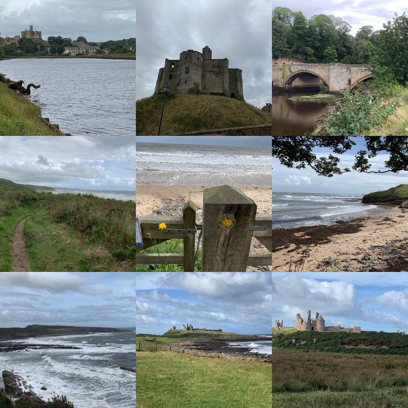
Day 2: Amble to Embleton (18.5miles)I had a lot of miles to cover this day and the forecast was WINDY! But it promised two spectacular castles and stunning scenery so I was up for the challenge. After a hearty breakfast, I headed back into the heart of Amble and out the other side, walking alongside Warkworth harbour before climbing the hill into Warkworth. Atop the hill sits Warkworth castle, one of the few Northumbrian castles I hadn't previously visited. I didn't have time to go in but gave it a wave before walking through the very pretty village of Warkworth with its even prettier bridge, which spans River Coquet. From there it was miles of gorgeous sand dunes (the path itself running behind the dunes so wasn't heavy going underfoot). I had to play dodgems with flying golf balls as links courses dot the path. There are handy bells to ring to let golfers know that you're passing through. I then reached the River Aln and the lovely village of Almouth. I stopped for a bite of lunch at the Alnmouth Village Golf Club (the oldest links golf club in England) where I was the youngest person by about 50 years. But they did a good sandwich and they had a loo and everyone wanted to know where I was walking to. From there I had to climb a hill above the golf course, and kept following the coastal path until it dropped down to the sea. The walking got tough for a while as it was a pebbly beach, which hurts the ankles but the scenery made up for it. The wind picked up as I headed along a long cycle path towards Boulmer and then even windier as I walked along the path overlooking wild seas crashing on rocks as I headed for Craster, famous for its smoked kippers. By the time I reached the Jolly Fisherman Pub, I was very ready to rest my feet. By chance I bumped into friends there so had a welcome catch up in the sun before tackling the last 4 miles. The walk from Craster to Dunstanburgh Castle is one of my absolute favourites and if you're ever after a short day walk, add this one to your list. I however, had to walk past the castle, making sure I took in the backwards facing views and did my final push to Embleton. I stayed at The Dunstanburgh Castle Hotel, but frankly I could have been staying under a hedge. I simply wanted to put my feet up after a very long, windy but utterly gorgeous 18 odd miles.
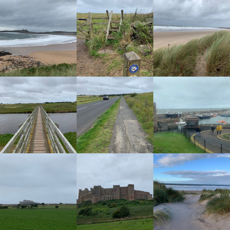
Day 3: Embleton to Bamburgh (11.6 miles)While a significantly shorter day, this day was still quite hard going for two reasons. 1) The weather 2) a long stretch of roadside plodding. It starts with some of the most stunning scenery of the entire walk along Embleton Bay, with views back over Dunstanburgh Castle. Little seaside cottages dot the dunes and I would very much like to have one of those. The route then followed another links golf course running next to Beadnell Bay. The wind had again picked up at this point and by the time I hit Beadnell, the rain arrived. Sadly, the stretch from Beadnell to Seahouses is a long tarmac plod alongside a busy road. I was sorely tempted to stick out my thumb and ask for a lift. I didn't and instead fought my way against the gale and face-on rain until I arrived in Seahouses, where I collapsed in a seaside pub and watched the rain beat against the windows. After psyching myself up, I did the last push from Seahouses to Bamburgh, which veers away from the sea and crosses fields, which included a field of bullocks. Sigh. The adrenalin got me across that field and views of Bamburgh Castle gave me my point of reference to work towards. I could have walked along the beach if I'd wanted to - and you could do this although it is not technically the coast path route. I didn't because walking on sand is very tiring and the wind was so fierce, the sand would have taken the top layer of skin off my face, and I was looking haggard enough. Anyway, after reviving myself at the Victoria Hotel, I headed out in flip flops to air my feet and strolled around the beach near the castle. If you've never visited Bamburgh Castle, add it to your list. It looks exactly like a castle from story books and you couldn't get a better setting. Once my feet were frozen lumps of ice, i headed back and had a large glass or two of wine.
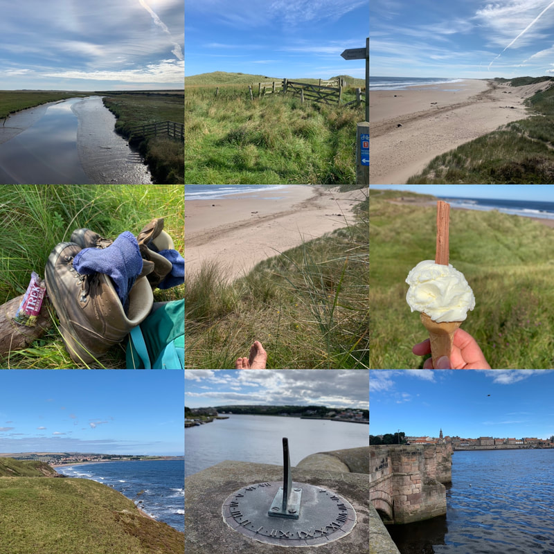
Day 4: Bamburgh to West Mains (14 miles)If I'm completely honest, you could probably just do those first three days to get the highlights of the Northumberland Coast Path as day 4 was a bit 'meh'. Technically I should have gone all the way to Holy Island to see Lindisfarne castle but the way the available accommodation worked out, it wasn't an option for me. Plus, if you go to Lindisfarne, you have to time it right to ensure you can walk across the causeway before the tide rolls in, otherwise you will find yourself having a swim instead of a walk. I didn't have to worry about that, I simply had to walk 14 miles. The wind and rain of the last two days had been replaced with blazing sunshine. Glorious. Except today was a hilly day, inland, not much shade....did I mention the wine from the night before? It starts off beautifully with views back towards Bamburgh Castle before taking in the stunning Budle Bay. Lovely. And then after climbing a hill, do a bit of road walking, pick up St Oswald;s way, you arrive at an intercity railway line that you have to cross. That's exciting! There's a telephone you have to use to call the signalman. He'll want to know how many are in your party and how long you estimate it will take you to cross the line. He then lets you know how long you've got before the next train comes barrelling along at 100 miles an hour. Despite having five minutes to make a 30 second journey, it still makes your heart thump. Luckily I'd had a little rest in a grassy field just before this, watching the butterflies flutter about while I aired my feet and rehydrated my body. After the railway line excitement, you walk past weird, slightly spooky silos before reaching the village of Belford. Here I stocked up on a nutritious lunch of a scotch egg and can of soda from the Coop, before continuing on. After the beauty of the coastline, this all felt a big dull until getting to some woods, which were both pretty and cool respite from the sun. Out the other side of the woods is a tiny village called Fenwick, which had I been going to Lindisfarne, i would have passed through, crossed the A1 and headed off on my pilgrimage like so many other pilgrims before me. But alas, the only accommodation I could find was in West Mains, which meant a trudge along a tarmac road, another interesting crossing (this time the busy A1) and then at last found my accommodation at the Lindisfarne Inn. This was definitely my least favourite day on the walk.
Day 5: West Mains to Berwick-on-Tweed (11.6 miles)Another gloriously sunny day and I was up and out early. Despite tired legs and feet, I was ready to take on the last day of this walk. From West Mains, I dropped down to the coast line, picking up the coast path again at Beal Point, looking out over the causeway to Holy Island. From there it is a straight forward, relatively flat, easy walking stretch of beautiful coastline. I even managed to get an ice cream from a van along the way. Perfection! I arrived into Berwick-on-Tweed way too early for my departing train, so I stopped on the promenade for some obligatory chips. Sitting with my boots off, my feet in the sea breeze, eating hot chips and smelling the sea air, I mentally high-fived myself for doing the 70 miles. What a lovely, leisurely (at times tiring) but beautiful walk. There is something about coastal walking that just releases tension, letting all your worries blow out to sea. I reluctantly put my boots on, headed across the old bridge into the town, taking in the views from the old Elizabethan walls that prevented the Scots from invading the town, a nice extra bit of history before finally catching my train back to York. In contrast to some of the more remote and hilly long distance paths, the Northumberland Coast Path is relatively easy. That said, 70 miles is still 70 miles and lots of it is on sand, some pebbles and some roadside, so don't underestimate it. But the incredible beaches and fairytale castles will keep you going. I highly recommend it! And if you're looking for company to do it with, join the Glamoraks app or Glamoraks Facebook group and find like-minded women to go walking with.
The sun was getting low in the sky, early afternoon on a mild November day. Beams of sunlight turned everything they touched to gold. To my right, the Atlantic ocean lazily lolled, barely breaking against craggy rocks far below. To my left, a green field dotted with sheep was a picture of tranquility. Ahead of me, two woman in my walking group were striding onwards, while behind me the rest of the group chatted quietly.
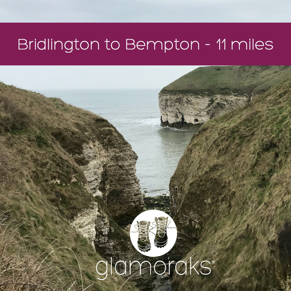
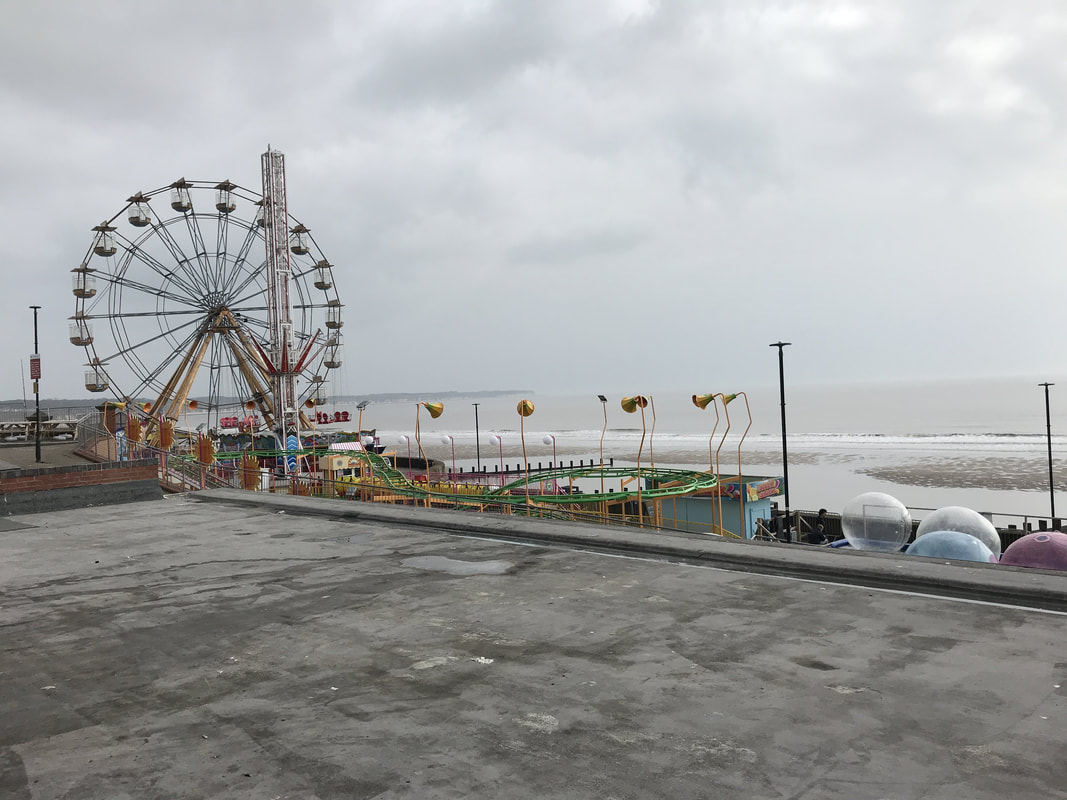
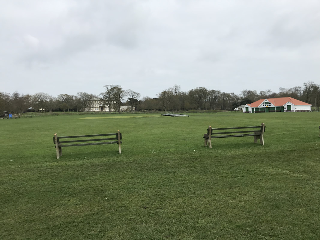
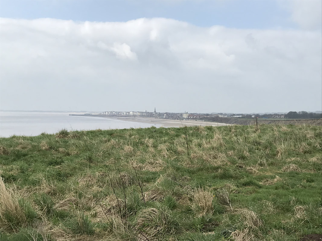
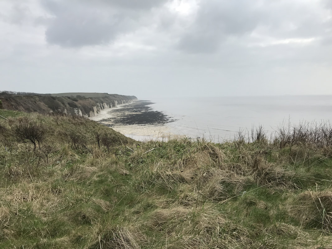
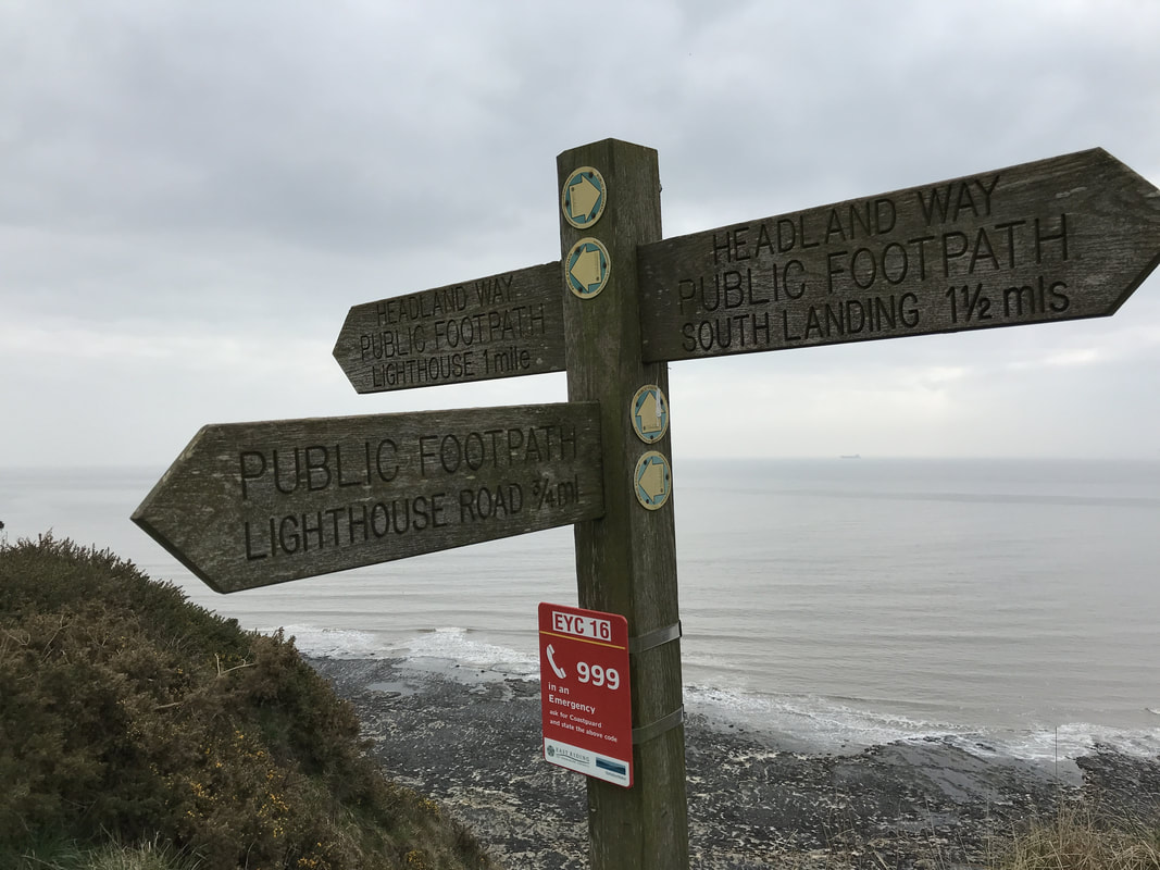
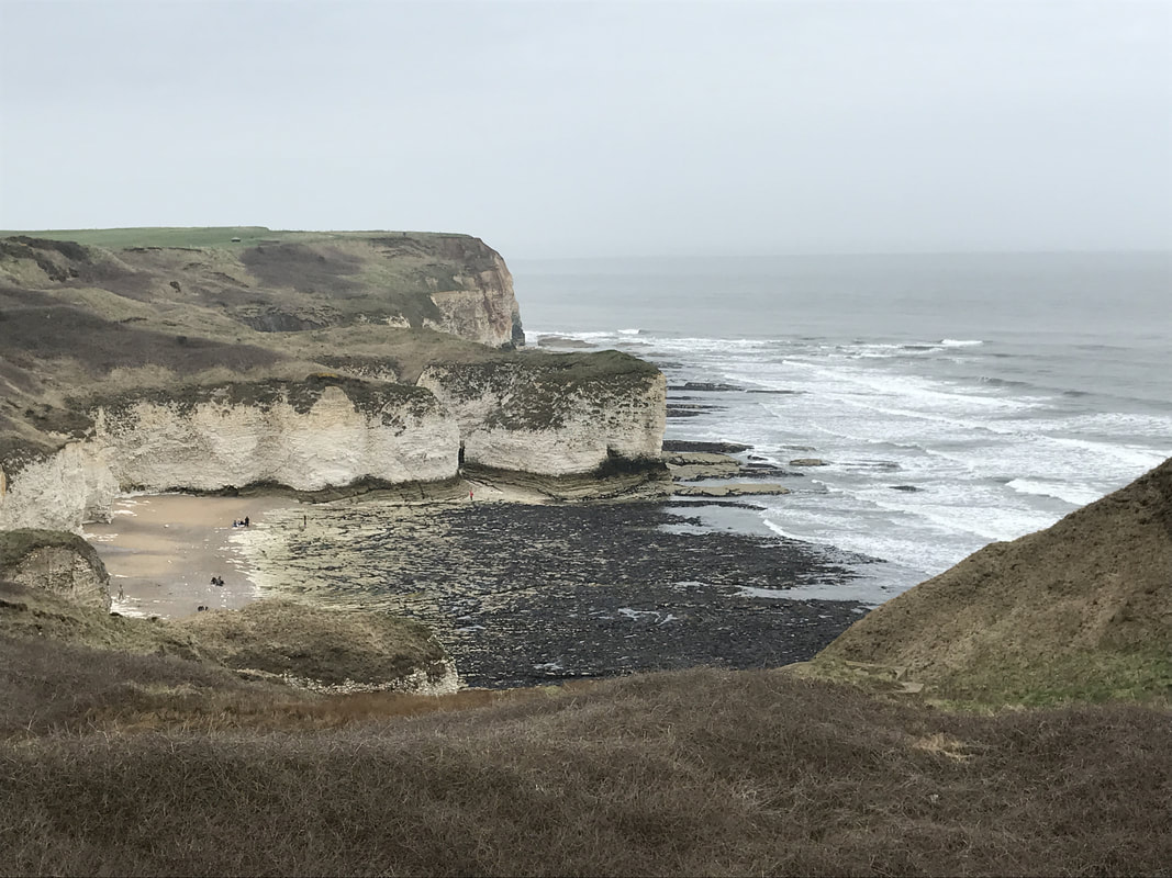
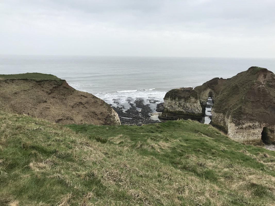
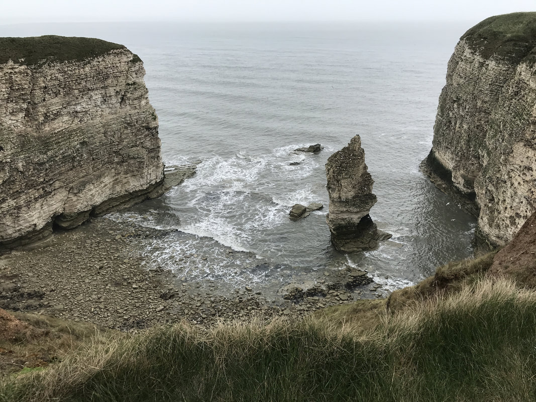
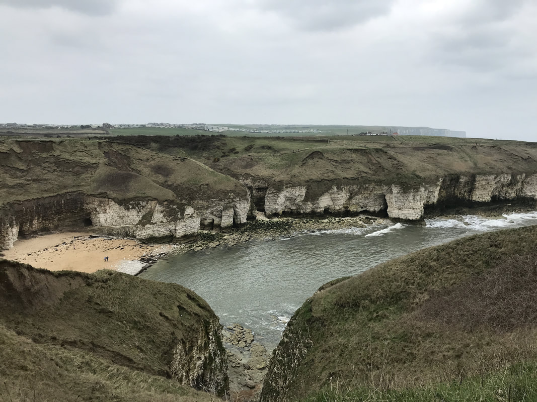
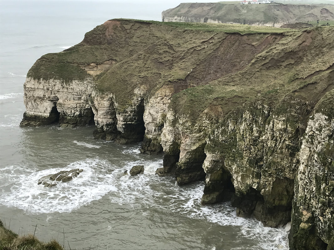
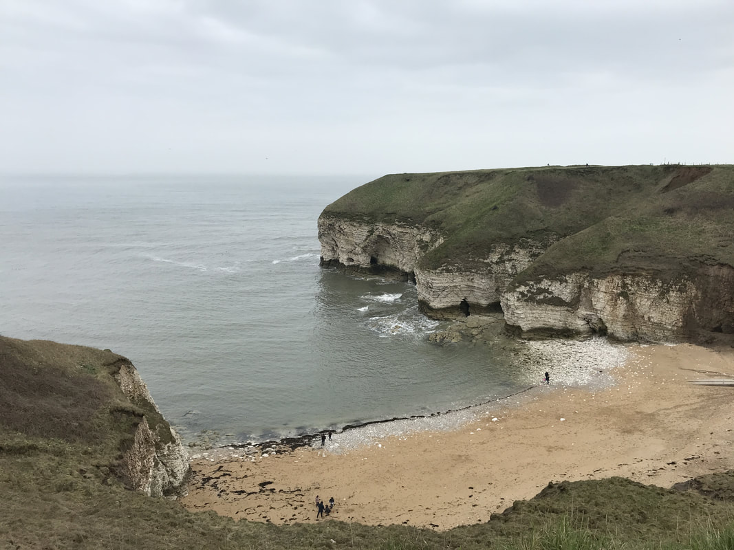
I walked alone, taking the chance to simply be, breathing in the sea air and enjoying the crunch of my boots on the path. And that's when it happened. So subtle, so instant it would have been easy to miss. But I felt it. I had set it down. The weight I hadn't realised I was carrying. I didn't do it intentionally. It made no noise as it left me. There was no photograph to capture the moment. It simply slipped off me. My backpack was still firmly attached to my body, yet it felt somehow lighter, as though large boulders had been removed from it. More than that, my head felt clearer, the dark cobwebs that had been clogging up the edges of my thoughts suddenly swept out. A smile began to unconsciously form on my face. The furrows on my brow relaxed. I breathed deeply and sighed out loudly. Light, free, happy. The mental burden of worry, guilt, sadness, anger and stress had gently worked its way loose and fallen off me noiselessly, dissipating into nothingness. I had set the weight down on a path on Northern Ireland's coast. I have set the same weight down on remote paths and deserted beaches around the world. It's what walking does. Every step works a tightly knotted concern loose. Our deeply buried worries and fears gradually free themselves from their trapped places, losing their poisonous power as they do so. Every walk has a drop off moment. Sometimes it's mere minutes into a walk. On others, it is many miles before the moment happens. But it will happen. And when it does, you can move forward lighter, freer and happier. It's time to set your weight down. Join Glamoraks, a community of women who love to walk. We'll help you do it. Start: Bridlington (parking at long stay car park near the train station) End: Bempton (catch the train back to Bridlington) Terrain: Cliff top coastal path - muddy in places depending on time of year. Lots of ups and downs Good for: Bird watching Refreshments: Plenty of places on the way. Distance: Roughly 11 miles You start this walk in Bridlington. From the long stay car park near the station, head to the seaside, past the amusement arcades and funfair rides. This is a quintessential English seaside town, with an air of faded glory and the feeling that just a bit more love, attention and sunshine could restore it into something lovely. But on the day I did this walk, it was a blustery, overcast April day with a hint of summer on offer. I wanted headspace, so was keen to get away from the people strolling along the beachside promenade. I followed the track that runs alongside the little landtrain, ferrying passengers from Sewerby Hall to the beach. A row of memory benches lines the other side of the path. I couldn't help but imagine that the people in whose memories those benches were left must have been the sociable type as they were packed in one after the other with plenty of seats to be had should you need one at this early stage. Just past Sewerby Hall you pass a cricket club that has got to have the most spectacular setting of all cricket clubs in England. Hit a six and you could well send your ball over the cliff top and onto the beach below. Leaving the cricket club and crowds behind, I at last had the path to myself. The sea to my right lay grey and brooding under a heavy sky while the chalk cliffs marched onwards to the north. I love the feeling of being alone on a cliff with just the circling seabirds and the occasional sheep for company. The path dipped down to Danes Dyke, a pretty little nature reserve that at one point drops down to the sea. You can access the beach here and be free from the busier Bridlington beaches. Danes Dyke actually runs for 4km across the whole of Flamborough Head and is thought to be some kind of defensive structure from the Dark Ages or Roman period. Climb up the steps on the other side and make your way towards South Landing of Flamborough Head. As you follow the path, you will start to see the rock formations formed by coastal erosion at Flamborough Head, which is made of sheer chalk cliffs that have gradually had bites taken out of them by the sea. Take your time here and enjoy the waves crashing in and around the rock formations. Head up past the Flamborough head lighthouse. If you need refreshments, there is a cafe near the carpark too. Keep following the path until you reach the north landing, where once again you can get refreshments and a public toilet and not far beyond that, is Thornwick Bay, where you can access the beach depending on the tide. There are old smugglers caves and the famed Thornick Nab (a rock arch) to be explored if the tide is out. And yet another cafe is on offer if you want a nice cup of tea.
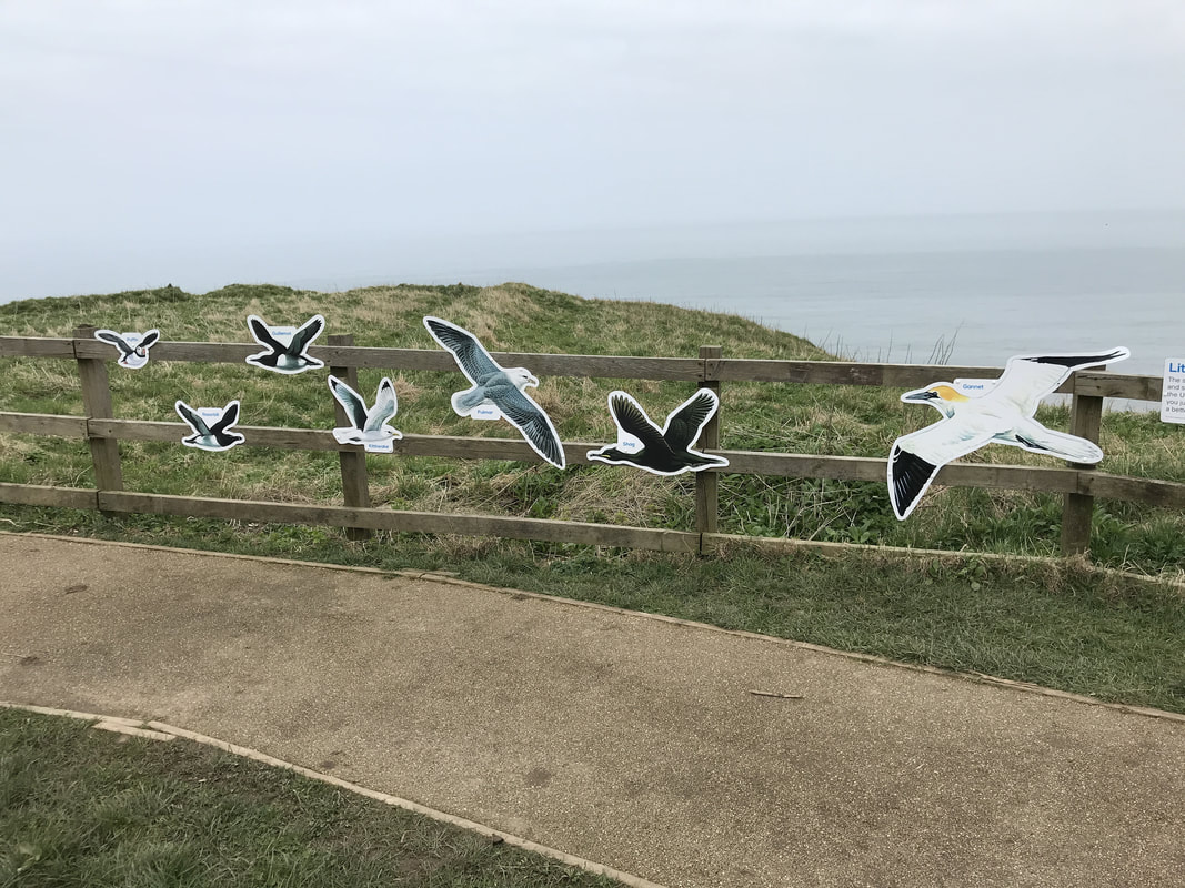
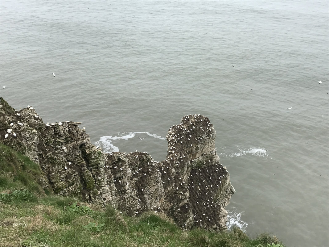
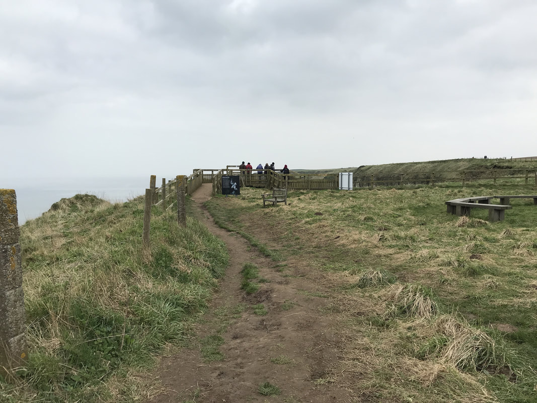
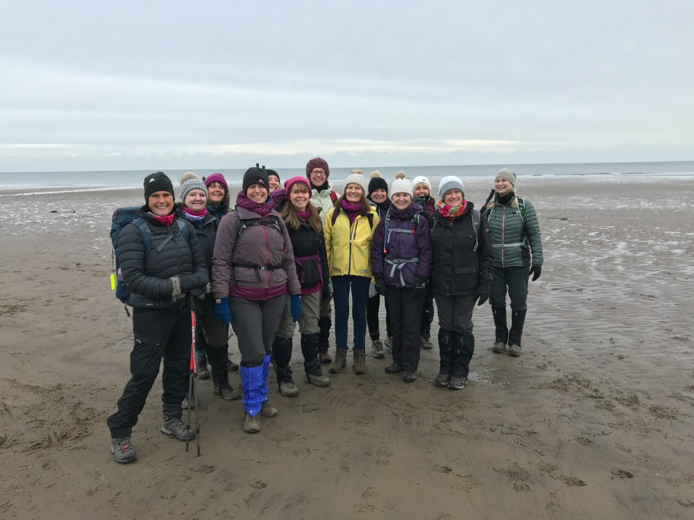
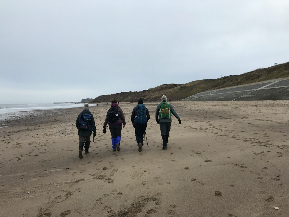
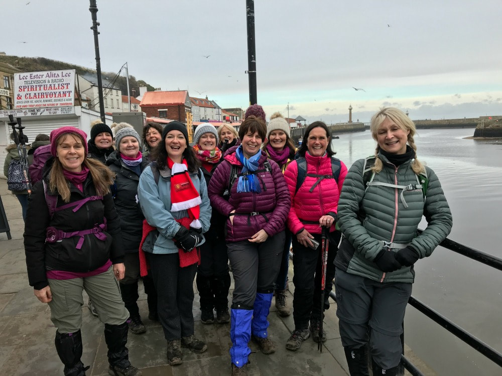
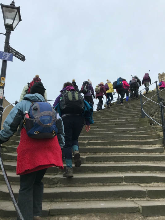
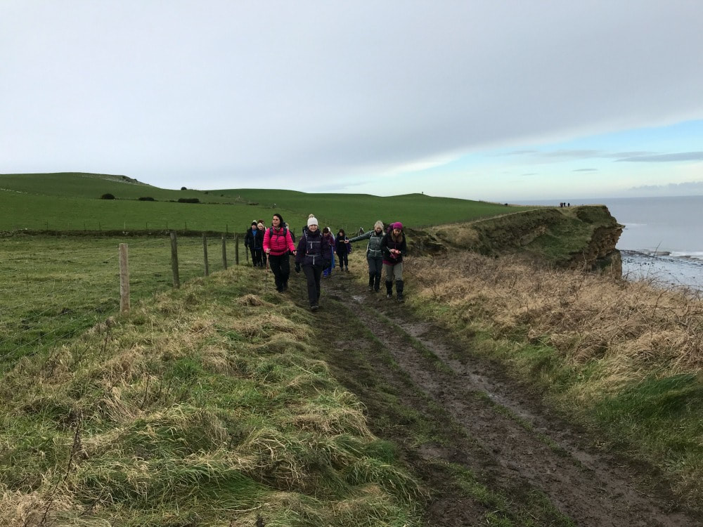
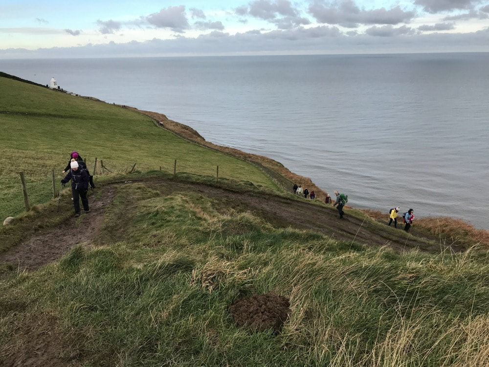
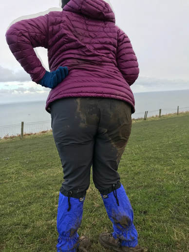
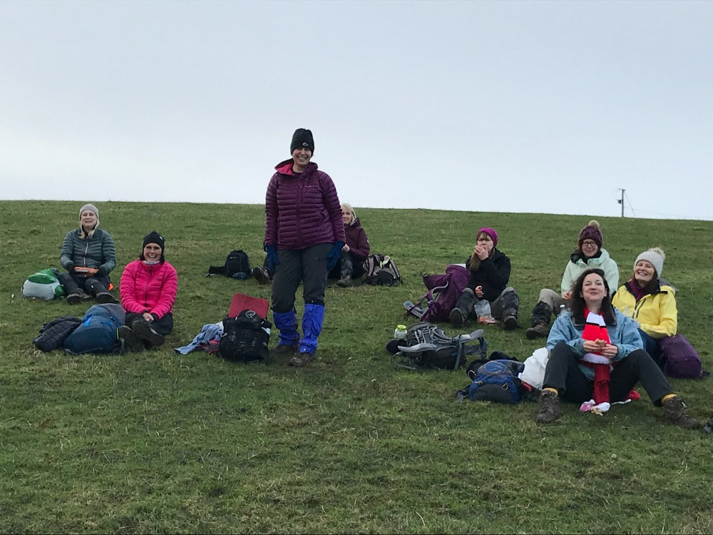
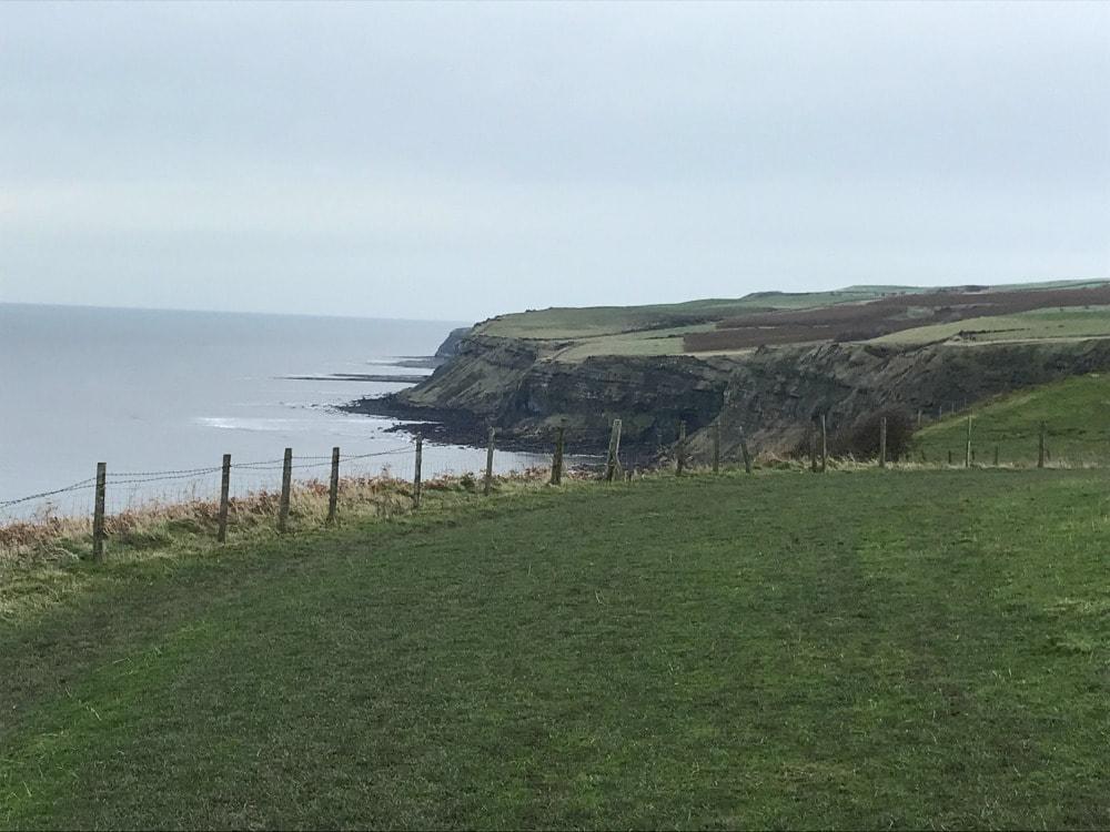
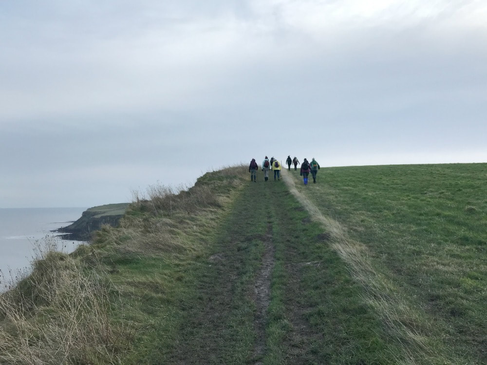
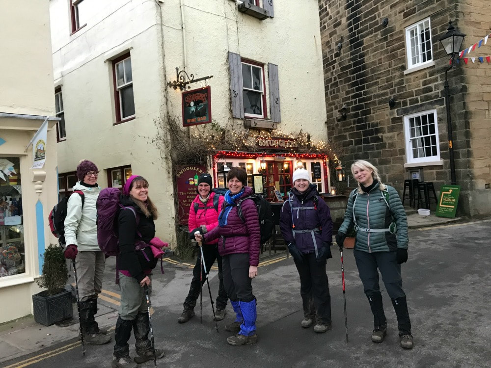
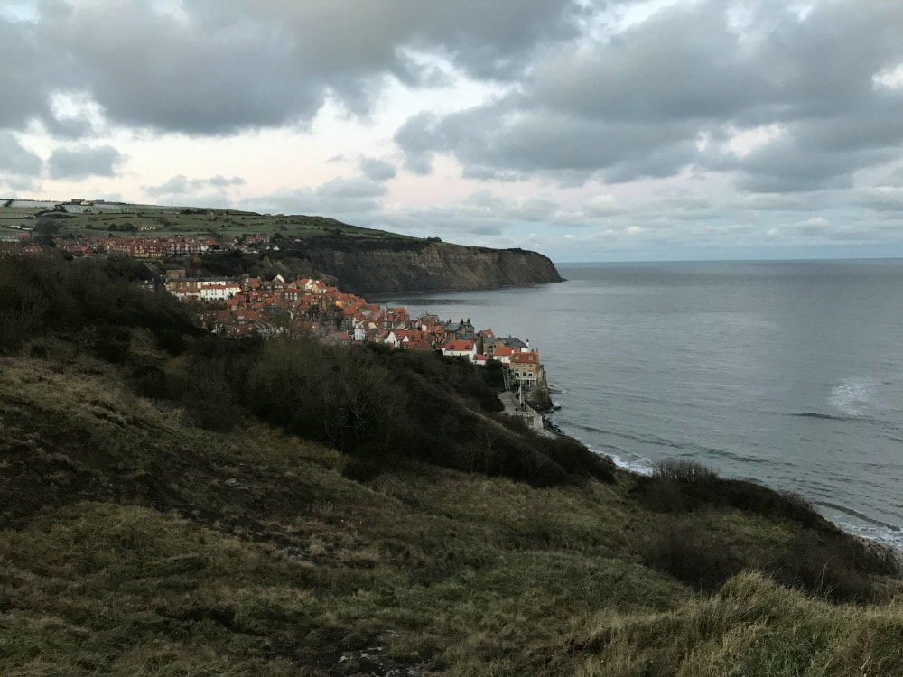
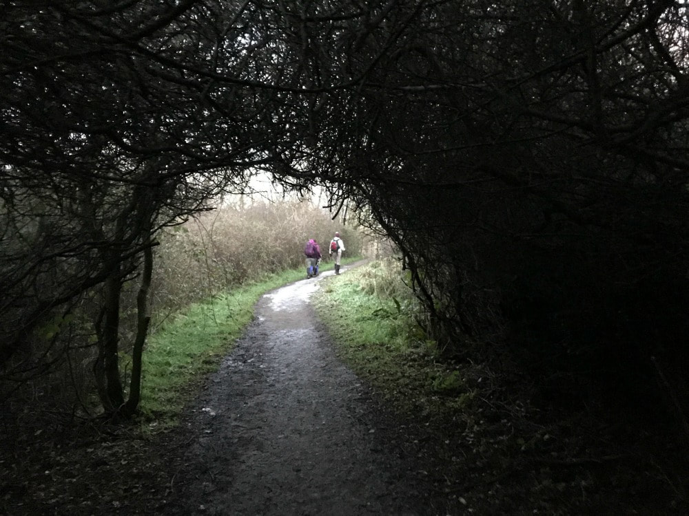
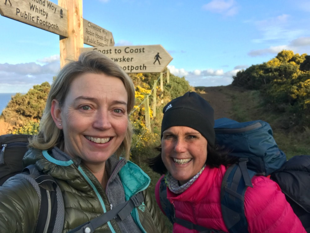
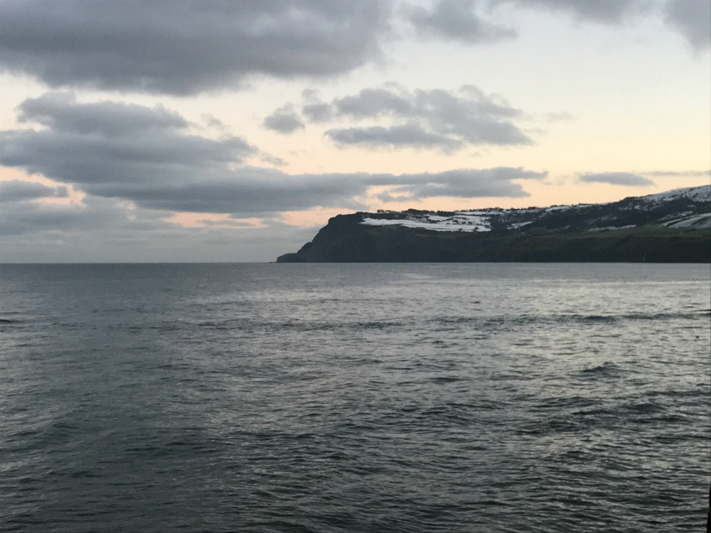
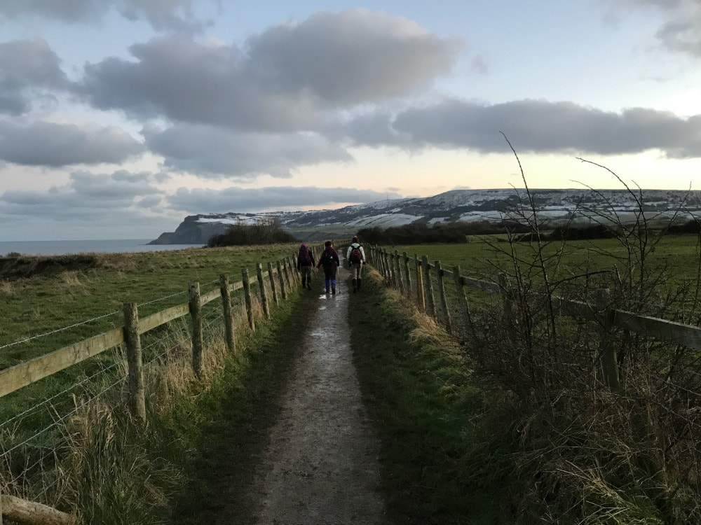
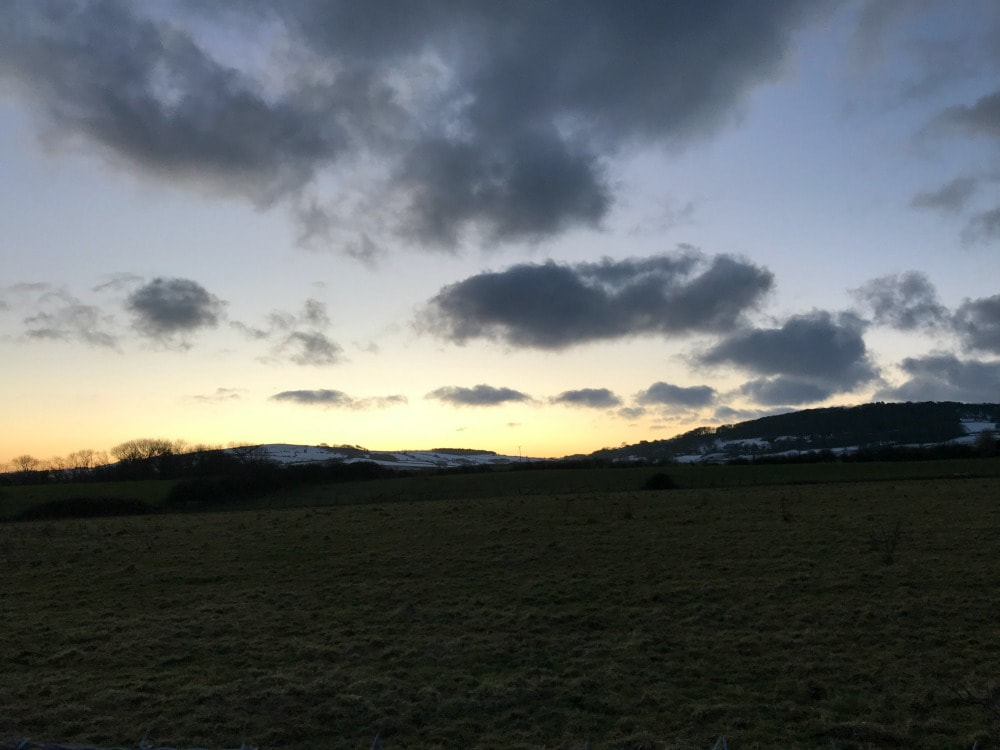
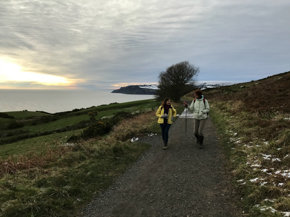
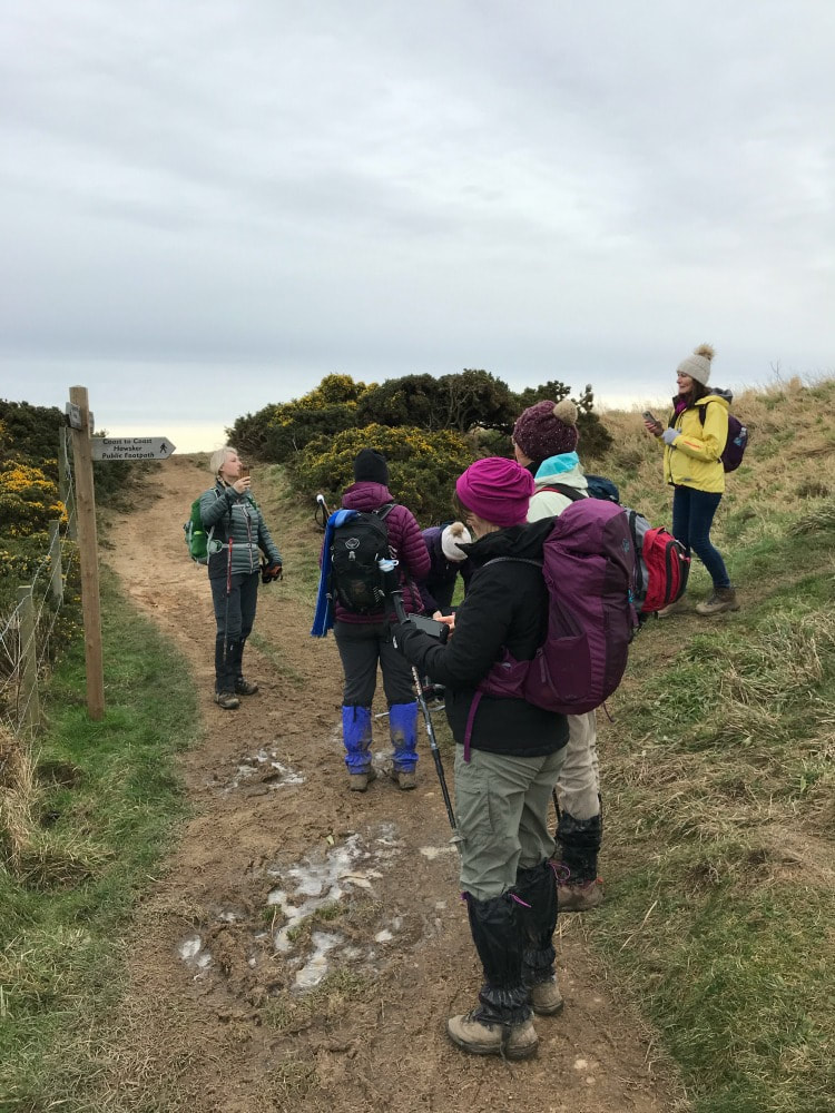
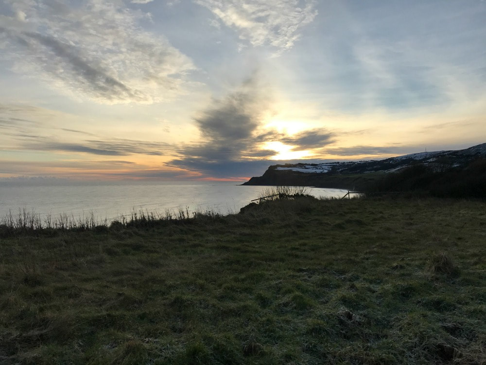
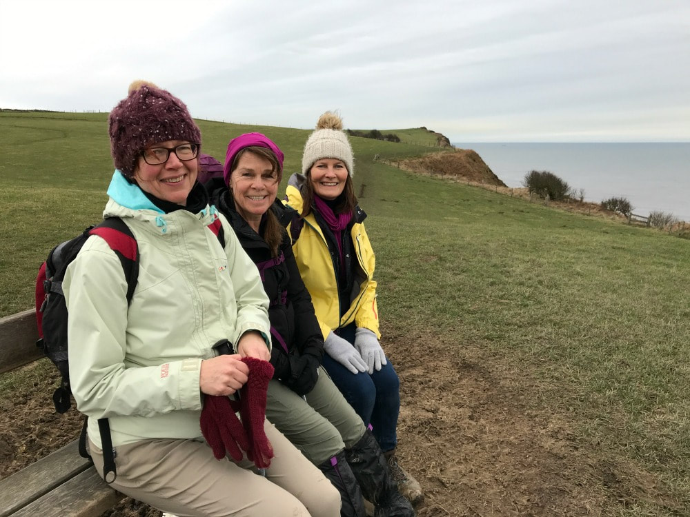
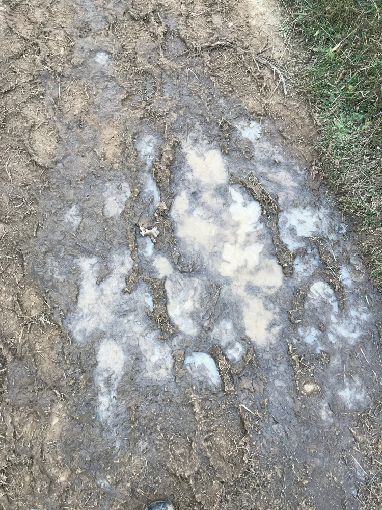
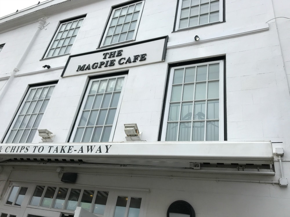
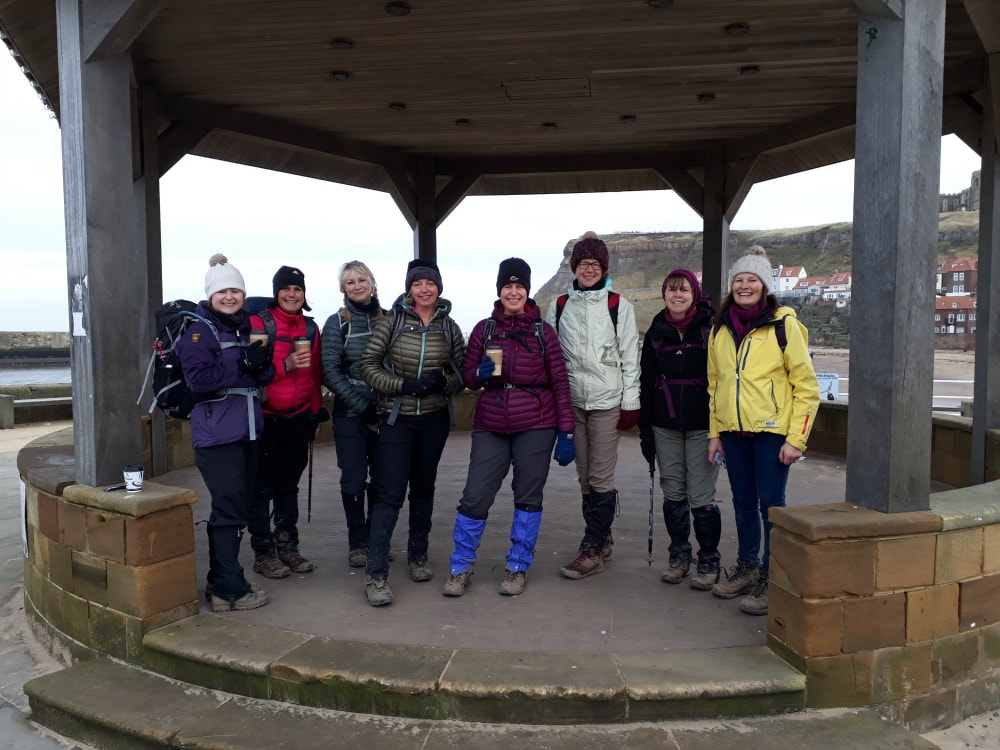
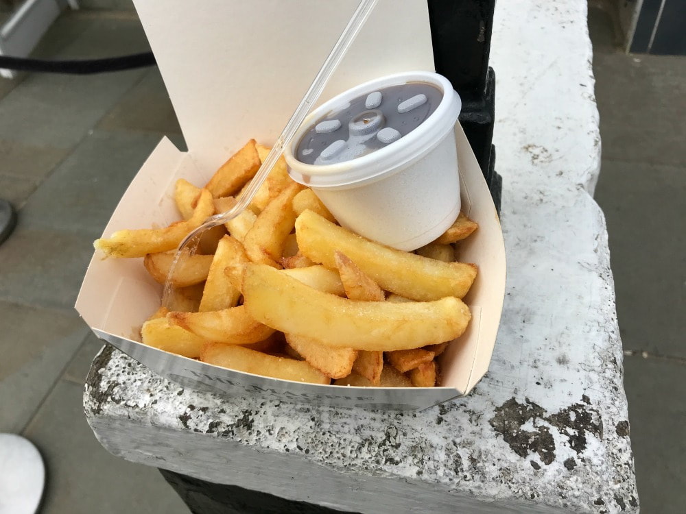
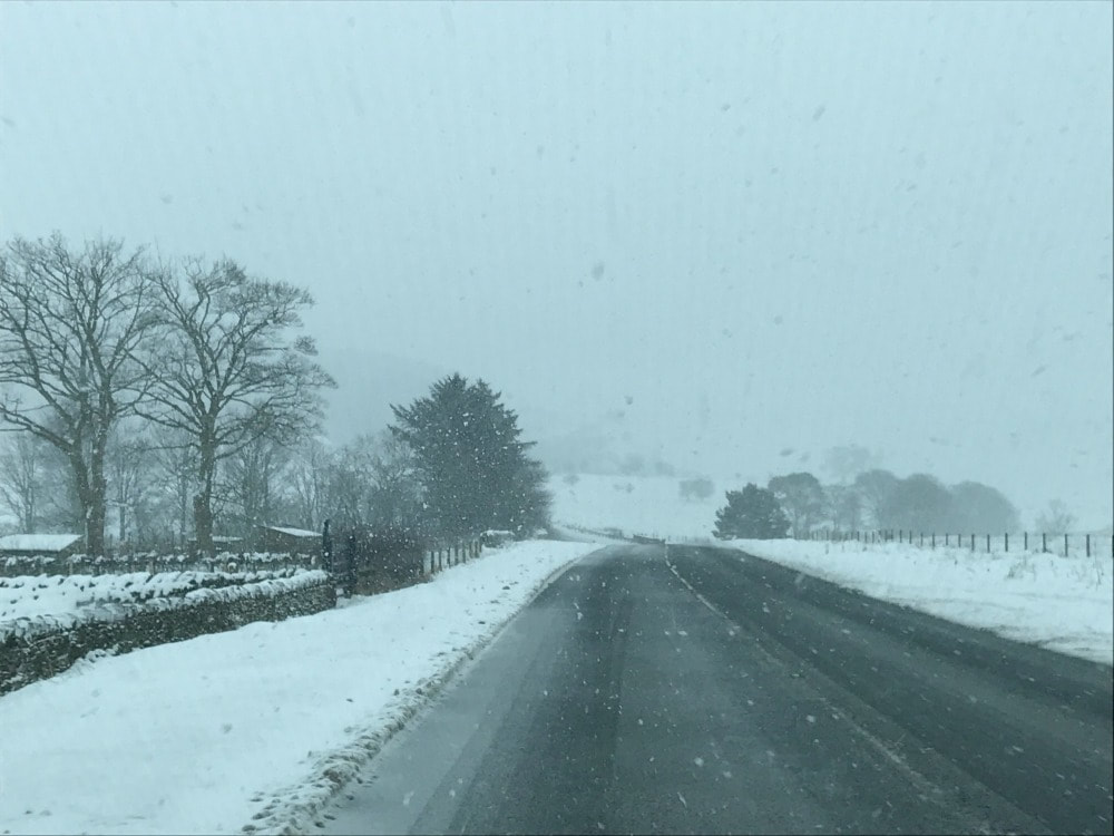
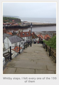
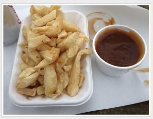
Ignoring the busy holiday park to your left, keep following the path, looking out and back over the rock formations. Depending on the time of year, keep your eyes peeled for seabirds. All along this stretch of coast, the RSPB has built little bird watching landings from which to view Puffins, Gannets, Kittwakes, Guillemots, Herring Gulls, Razorbills and Shags. I passed a young chap who was packing up a long range lens camera. I asked him what he'd been doing. He explained that he was counting puffins for the RSPB. Apparently they have just two days in which the puffins sit on the sea, feeding, before they head off to lay their eggs. So time is of the essence. I noticed many more people all doing the same as I walked along the path. I did wonder how on earth they count a bunch of tiny black dots bobbing about on the sea! I took plenty of time looking at the birds from the various platforms before heading inland. There is a RSPB centre at Bempton with another cafe (seriously, no need to take a lunch with you for this walk). I then walked the mile from there into the middle of Bempton to catch the train back to Bridlington. A lovely walk with plenty of wildlife, geology and beaches. If you are a woman who loves to walk, join Glamoraks for free. It's a way to find other women to walk with, get inspiration and rediscover your sense of adventure. Many people have looked at me askance when I say that I'm heading off for a weekend of walking with a bunch of women I've never met, saying things like: 'Isn't it weird?' or 'What if you don't like them?' I probably thought the same until I did it. And then I realised what a joy walking with women who are complete strangers can be. Here's why: You hear their stories In a world where we all talk to much and listen too little, when you go out walking you have plenty of time for both. Some people will immediately open up and tell you their life story. Others will gradually reveal tiny snippets of who they are. But eventually you get to the heart of what makes them unique. And EVERYONE has a fascinating story. Hearing those stories broadens your horizons, makes you recognise and appreciate people's differences, puts your own story in context and boosts your empathy. You get to tell your story When last did you tell someone the story of how you came to be where you are today? Often our current friends either know that story or the conversation centres around the day to day, rather than the big things that have shaped your life. By retelling your story to strangers, it reminds you are how far you've come and possibly prompts you to want to try something new to create an exciting next chapter. You come as you are In our daily lives, we slip into a persona people have come to expect - whether that's at work, at the school gate, out on the town, or at sports club. Sometimes that persona isn't exactly who we really are, but it feels like you have to keep it in place so as not to upset the group dynamic. But when you walk with strangers, you can simply be you, no persona required. It is exceptionally liberating. You realise how different but the same we all are When you don't get to choose your company, you are presented with a random mix of people from completely different backgrounds. But here's the thing: although we are all so different, fundamentally we are also all so very alike. We all go through similar challenges and emotions. Our experiences may be unique but our basic humanity is the same. Not everyone will instantly be your cup of tea, but if you remove judgement and simply see them for who they are, you see how necessary and beautiful those differences are. You see the immense strength women have You probably know the challenges your closest friends or family members have been through. But when you hear about the challenges other women have faced, you realise how universally strong women are. Whether it's relationship breakdowns, loss of children or partners, a career challenge, having to rebuild a new sense of purpose, fighting against injustice putting their own mental health at risk, building businesses and being the mainstay of the family unit - women are pretty exceptional and spending time with women you don't know opens your eyes to the private struggles they go through daily. You discover a new side to yourself Sometimes it takes a stranger to hold a mirror up to you to recognise the person you have become. They might say things like: You are so strong. What an exceptional thing you've done. That is so fascinating. Those things may seem entirely ordinary to you, but when you hear it from a stranger, you think perhaps I am strong, exceptional and fascinating. Your confidence will be boosted and your self esteem reframed. You laugh Because not everything is serious. And they won't have heard your jokes or funny stories before and you won't have heard theirs! If you would like to find other women to go walking with, join Glamoraks. It is an online community that lets you find other women near you to easily arrange walks and adventures together. They may start out as strangers but they won't stay that way. This post was prompted by the most recent Glamoraks Walking Weekend that took place 24-25 March 2018 on the South Downs as well as other recent walks I've done with people who were previously strangers to me. Below is a video of the South Downs scenery and a sense of how a group of strangers left as friends. If you would like to meet other women to go walking, hiking or adventuring with, join the Glamoraks online community. It was a chilly morning when 14 ladies gathered in the carpark at Sandsend in mid-January. Some had come alone, others with a friend. All were ready to have a good, long stomp to blow away the January blues and to walk off any lingering Christmas calories. After adding layers, checking backpacks and having final cups of tea from the nearby cafe, we set off. We walked the two miles along the beach towards Whitby, leaping over streams - some broader than others - as the tide rushed out. Walking along beach sand is remarkably tiring and soon layers were being stripped off and cheeks were pink from the cold and exertion. Too early for fish and chips, we ignored the waft of vinegar and made our way through the old fishing town to the famous 199 steps that lead up to the ruins of Whitby Abbey. If we weren't warm before, we certainly were by the top of the stairs. We bid farewell to two of our group who were off to do their own shorter walk, while we headed for the clifftop path. Layers of ice made the path through a campsite slippery but soon we were on the muddy path, taking in the stunning coastal views. This route is part of the Cleveland Way, a long distance walking path that starts in Helmsley and ends in Filey, with exceptional North Yorkshire scenery for all of it. It's easy to break the walk up into stages and do them anytime you have a free day or weekend. We chatted and learnt more about each other as we slipped about in the mud. On several occasions we narrowly missed having a muddy landing and in one, case, did! We stopped for a picnic lunch in a field with an impressive view. The day had brightened up and the sun eventually popped out as we continued on our way. I have personally done this stretch several times, the first time kickstarted my love of walking. It also forms part of the Coast to Coast route, either being the first or last day of the multi-day hike depending on which way you are going. My cousin Lynda - who did the Coast to Coast with me - had flown from Sweden to join me for this Glamoraks weekend, so we had a moment of nostalgia as we found the C2C sign. With the sun starting to dip in the sky, we made our way down the steep hill into Robin Hoods Bay, a fishing village made up of tiny houses stacked higgledy piggledy on top of one another. Half our party headed to the pub in search of a restorative ale or port, the other half found the last open tea shop and tucked into slices of cake, scones and pots of tea. Suitably revived, we headed off towards Boggle Hole, just 20 minutes away. The sun was setting, creating a beautiful scene with the snow on the moors ahead of us. We got to the hostel just as it got dark. If you've not been to Boggle Hole hostel before, you are missing a trick. It is festooned in bunting and nautical paraphernalia, with plenty of hidden objects for children to find. And it's situated right on the beach. You can hear the waves crashing as you lie in bed. After finding our shared rooms, we reconvened in the cosy dining room with a roaring log fire. Glasses of wine, a hearty chicken curry followed by apple pudding and we all felt ready for bed. We had, after all, done 11.5 miles of fairly tiring walking across sand and slipping on mud! Another reason for the early bed time was Sunday's weather forecast of strong winds and snow arriving mid afternoon, which meant we needed an early start. While we all had the right kit to keep warm, none of us fancied trying to drive back home over the North Yorkshire Moors in a blizzard. We got the chef up bright and early to cook us a hearty breakfast, while taking in the magnificent sunrise. We bid farewell to four of the ladies who wanted a shorter day and a nosey around the quaint shops of Robin Hood's Bay, before getting the bus back to Sandsend. The rest of us retraced our steps along the path the way we'd come as the tide was still too high to do the beach walk. We were treated to even more spectacular views of the sunrise and we all agreed that it was moments like this that made us face the sub-zero temperatures and get outdoors. After making our way back up the steep hill in Robin Hood's Bay, we opted for the Cinder Track, a route that runs roughly parallel to the coastal path only it's slightly more solid with less slippy mud. However, what it lacked in mud, it made up for in slippy ice. We still managed to make better time and soon rejoined the coastal path again. Thanks to the very low overnight temperatures, all the mud had frozen solid, making it much easier to walk back. We managed to get to Whitby in time for lunch. General agreement was to ditch the packed lunch we'd been given in favour of fish and chips from the famous Magpie. What a treat to tuck into warm chips and gravy on an icy cold day (with the added bonus of trying to fend off dive bombing seagulls). We could see the weather setting in so we headed back up the beach to Sandsend for our final two miles. As we reached the carpark, the snow arrived, flying in sideways on the wind. A quick cup of tea at the Wits End Cafe, and we dashed to our cars. We drove in convoy up and over the moors in a blizzard, with deep snow on the road sides. Had the driving conditions not been quite so scary, it would have been beautiful, like a scene out of a Christmas card. We all made it home with rosy cheeks and tired legs. A total of 23 miles walks, washed down with cake, fish and chips, wine, curry, good chat and the chance to forget about day to day life. The perfect Glamoraks weekend really! If you would like to meet other women for fabulous weekends like this, join the Glamoraks community. Or these: If you'd like to do this walk, park at the Sandsend carpark (free of charge over winter), postcode YO21 3TD. Walk along the beach to Whitby (or the signposted path if the tide is in). Head over the bridge in Whitby and follow signs for the Abbey ruins. Climb the 199 steps, walk through the car park and turn left onto the coastal path. Follow this through a caravan site and then simply follow it all the way to Robin Hood's Bay. When you enter Robin Hood's Bay, turn left onto the main road heading down towards the sea. Just after Smugglers pub, turn right and follow the coastal path signs again until you reach Boggle Hole. You simply retrace your steps the next day. Or, take the sign post for the Cinder Track just outside Robin Hood's Bay (where the Coastal Path starts again). Turn right off the track when you reach a road that leads to Northcliffe holiday park. Walk through the park and you'll reconnect with the coastal path. Turn left and follow it back to Whitby and then on to Sandsend. roughly 11.5 miles each way.
I looked at the weather report. Summer temperatures were forecast, with clear skies, no rain and only a bit of wind, despite it being mid-October. Sure, Hurricane Ophelia was on its way, but it wasn't due to arrive for at least 48 hours. How often do you get no rain and warm temperatures in October in Yorkshire? Never. So there was only one thing for it: a wild camp.
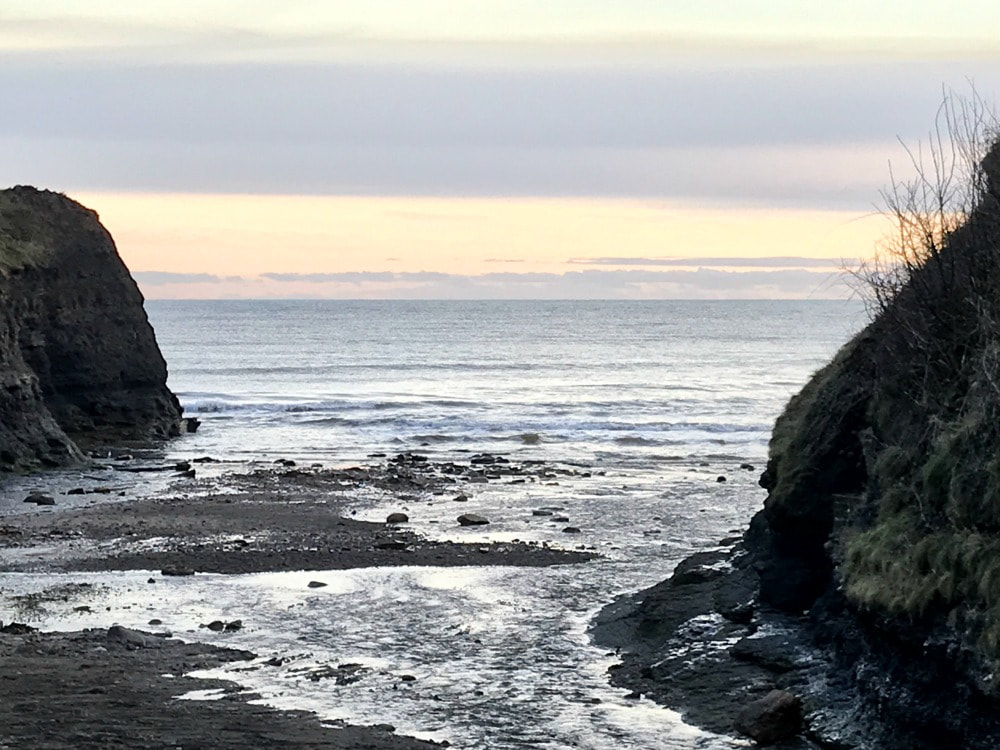
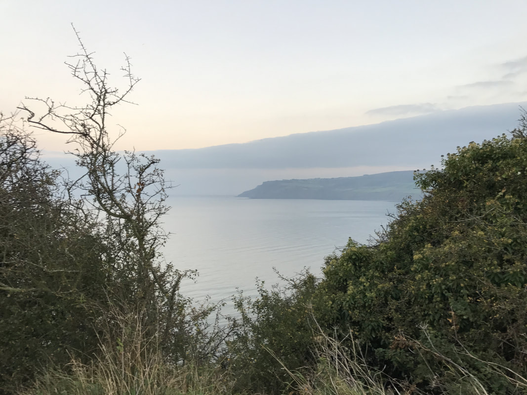
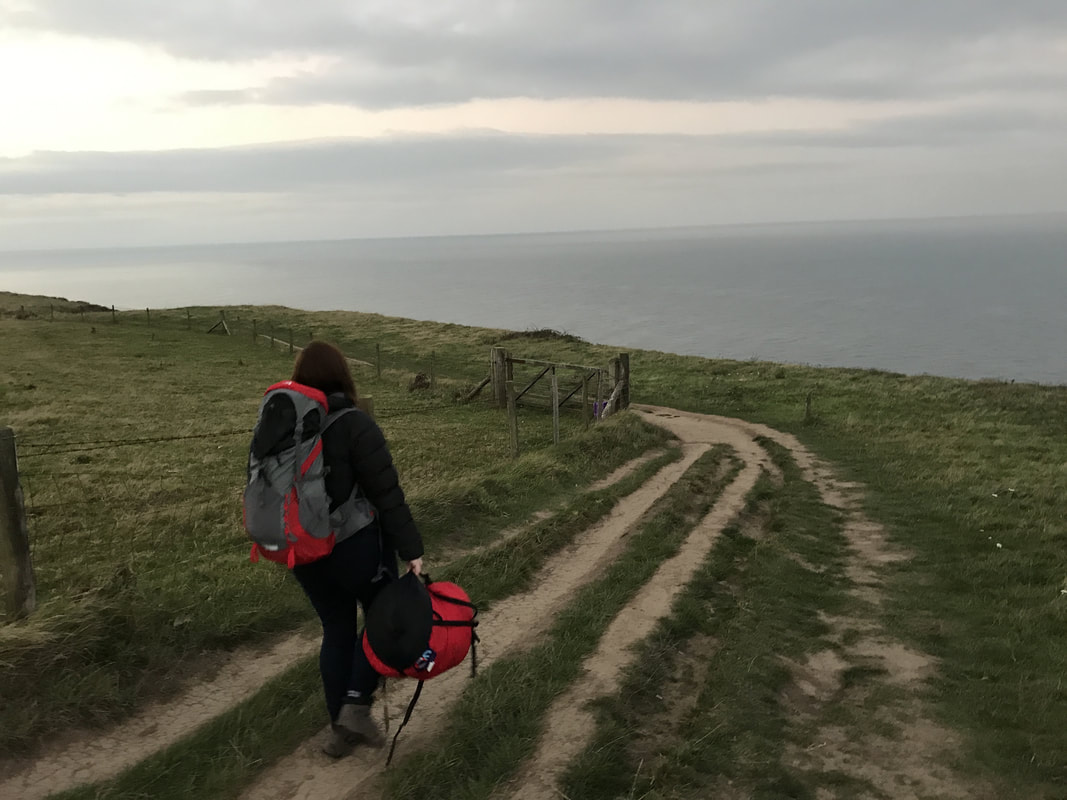
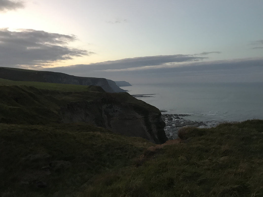
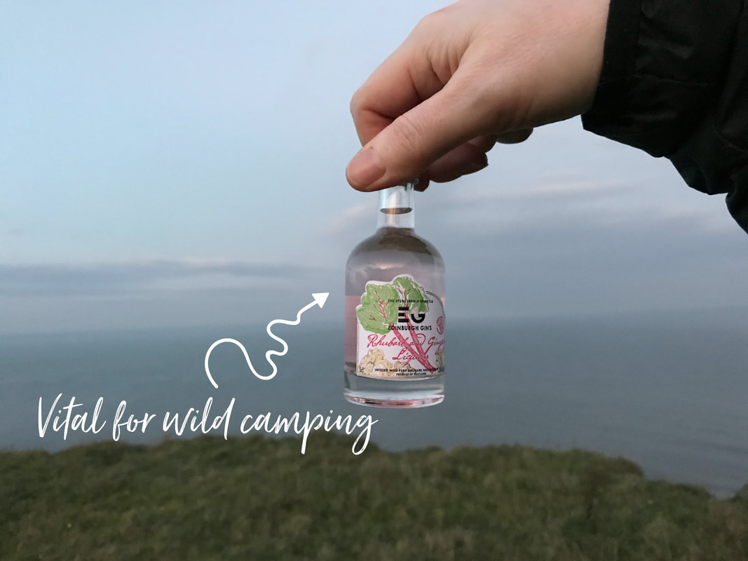
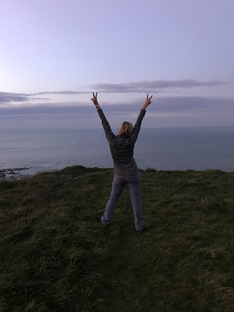
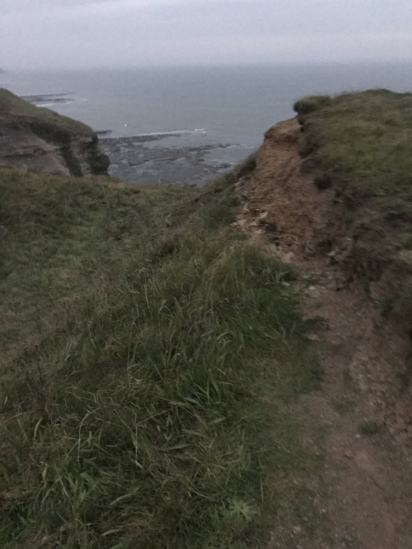
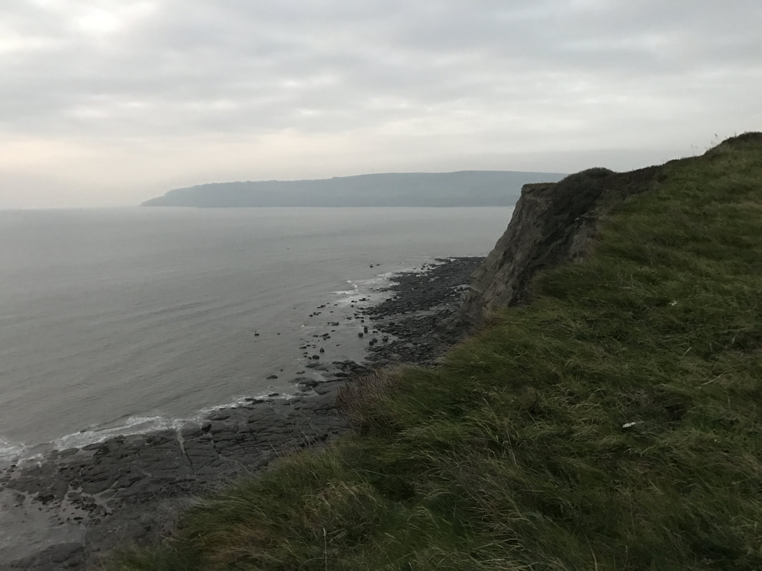
Having done it once before, on my own, I decided that this time I'd take a friend but would use a bivvy bag instead of a tent. After all, it was going to be dry. My lovely friend Sarah said yes, and then wanted to say no, but I dragged her along assuring her that we wouldn't get murdered or fall off a cliff. I didn't tell her that I was slightly apprehensive in case the hurricane did arrive early and we'd get blown into the sea. And having never bivvied before, this was a new experience for me too..... Parking at the Robin Hood's Bay car park, we followed the Cleveland Way signs north towards Whitby. The sun was already beginning to set behind thinning cloud, casting a pinky-grey softness across the gorgeous coastline. There were plenty of places you could simply unroll a sleeping bag, but we wanted to head slightly off the path. Of course, you can't head far off the path or you will end up in the sea. Some of the cliffs are very unstable so it's important to find a patch of ground that isn't likely to crumble beneath you. We managed to find a spot roughly a mile or so from Robin Hood's Bay. An outcrop of land jutted away from the path out towards the sea and off to each side of it, were handy little ridges the perfect size for lying on (although it didn't allow for much rolling over in your sleep). Had we rolled off, we would have simply rolled down a gentle bank to a slightly boggy trough, not to our deaths. Always a good thing. But by lying just below the lip of earth, we were protected from the breeze and gave Sarah comfort that we were more hidden from view of potential murderers. With no tent to pitch, we could immediately get to the important task of having a glass of wine, eating a hearty dinner of roasted nuts and talking shite. We'd brought a game along with us but couldn't quite muster up the energy to play.
By 8pm it was pitch black and our wine was gone. We decided it was time to snuggle into our bivvies. Despite it being an exceptionally warm night for the time of year, it was still getting chilly. Storing our boots in a dry bag to keep any dew off them, we got into our beds fully clothed.
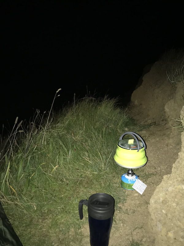
If you haven't bivvied before, it is in essence a waterproof cover for your sleeping bag. Depending on the size bivvy you get, you can fit your sleeping mat into your bivvy along with your sleeping bag. For a pillow, just use a rolled up coat or spare jumper. A hat is a good idea to keep your head warm or a buff that you can pull down over your eyes and top of nose so just your nostrils and mouth are free. Sleeping with socks on will keep your feet warm. Other tips: sleep with a head torch on or near you should you need to get up in the night. Also keep your mobile phone wrapped up somewhere warm to save the battery as it gets drained in the cold. Without a tent, you lie staring straight up at the stars. We were very lucky to have clear skies for most of it, without the typical accompanying plummeting temperatures. As we lay looking up at the Plough constellation, a shooting star whizzed overhead, so bright and close you could see the orange tail of burning dust glowing brightly. Magical! Just as we were getting ready to nod off, we noticed a light flashing on the rocks on the nearby cliff. Sarah immediately went into 'we're going to be murdered mode!" It was a bit odd and slightly scary, but I assumed it was probably just cockle pickers or someone down on the beach below. The thing to remember about wild camping is that most people are tucked up in their beds. They don't know you're there and won't be able to see you in the dark anyway. So there really isn't anything to worry about. After watching the stars for hours, I finally nodded off only to be woken about an hour later to a loud screeching. My guess is a bird of prey had caught something. More star watching ensued as I tried to drift off again. I must have fallen asleep at last as I woke just as the very first glimmer of morning light was starting to leak some colour into the blackness. I watched as the lighthouse in the far distance flashed every five seconds and listened to the waves crash on the rocks far below, while seabirds began their morning chorus. What a wonderful way to wake up. Sadly, we had to get back to York and real life, so after a quick cup of coffee, we packed up and were ready to go before the sun had even fully risen. Waving good morning to the curious sheep along our path, we made our way back to the car. We were tired, looking a bit scruffy but we'd had a brilliant microadventure. From door to door, we were gone 17 hours, yet we'd made wonderful memories.
Anyone can squeeze a bit of adventure into their life. And you should. Because when you look back on your life, you won't remember those evenings sitting on the sofa watching reality shows on TV. You will remember lying on a cliff watching the stars with a friend.
If you are women - particularly if you are a women who has forgotten how to have adventures because you never have time for yourself - join the free Glamoraks group on Facebook. We will encourage you to step out of your comfort zone and into your potential. You just have to love walking and the outdoors and want to rediscover yourself again. Here's a little video to inspire you. Want to try wild camping with a bivvy? Here's what you need to pack
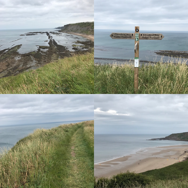
Want to meet other women to go wild camping with?Join Glamoraks. Distance: 10.5 miles (depending on where you start in Scarborough) Terrain: Mostly flat walking on good paths but with several steep hills. Stretches of woodland plus cliff edges most of the way Starting point: Scarborough train station or anywhere along the Scarborough seafront. Parking available at Scarborough train station (pay at meter) This is the last leg of the Cleveland Way, a 108-mile national trail that crosses the North Yorkshire Moors and a long stretch of the North Yorkshire coast. I've walked most legs of the Cleveland Way as day walks or two- day stretches, but I'd yet to do the final leg that runs from Scarborough to Filey. You can either catch a train to Scarborough station or drive there and park next to the station (making it easy to get home on your return). But you can start from any point along the Scarborough seafront. You can even have a dabble on the penny slot machines before you kick off if you like! If you start in North Bay, before the hill with Scarborough castle on it, you will be walking for about an hour before you really start the walk route. Leaving the sandy beaches and promenade behind you, you will climb up a hill where you can admire the views as you catch your breath. Be sure to look behind you to see the bulk of Scarborough Castle looking impressive on the opposite hill. For a stretch of the path, you'll walk alongside a golf course to your right. The sea will remain on your left and in sight for most of the walk. Having waved goodbye to the golfers, you will follow a headland, then go down some steps to a ravine until eventually you have to turn right along a track that takes you past some holiday houses. This bit of the walk isn't particularly lovely. You skirt the holiday homes before connecting with a suburban road. Turn left and follow the road until you see a National Trust sign for Cayton Bay. You follow the steep steps down through woodland then turn right onto a path that leads out of the woods and along a cliff overlooking Cayton Bay, a great spot for surfing. After climbing a hill you reach the road that takes you down to Cayton Bay itself. Here you can pop down to the Beach Shop for snacks if you didn't pack a lunch, or simply use one of the two handily placed benches for a lunch break. Lovely views and a good chance to rest after quite a few unexpected hills. From here you simply follow the cliff top path. Some of the edges are pretty sheer and if you're not a fan of heights (I'm not) simply walk as far from the edge as you can. I really don't like heights but I managed it fine. The views are magnificent the whole way, with thousands of nesting birds swooping and calling. The only thing that detracts from the view are the numerous caravan parks that run along your right hand side. It makes the walk feel less remote and the people traffic also increases near each of the sites. That said, once you've left the last of the caravan sites behind you, the views continue with the white cliffs of Flamborough Head appearing in the distance. There is something about looking at the outline of the English coast that makes me feel inordinately fond of this little island country. It stands so resolute against the sea, despite the waves taking constant bites out of its cliffs. The rooftops of Filey will come into view and eventually you'll reach the sign marking the end of the Cleveland Way. But if you still have energy left, it's worth walking to the end of Filey Brigg, a headland jutting out into the sea. Carr Naze, the landward end of the peninsula had flint tools discovered on it dating back 3 to 4000 years. The Romans also used the headland as a signal station to warn against invaders. You can see why as the headlands to the north and south of it as clearly visible. Once you've had your fill of sea air, head back inland and follow the signs for the town centre until you reach the bus station. Catch the 120 or x20 buses back to Scarborough - they run every 15 to 20 minutes - and will drop you outside the Scarborough train station, ready to catch a train back home or a short walk to your car. A lovely seaside walk with stunning views. Definitely one to add to your list. See the video below for a sense of what it's like. If you would like to meet likeminded women who walk, get walk ideas, advice and inspiration, be sure to join the Glamoraks community. Or sign up to the newsletter.
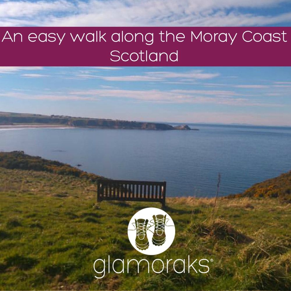
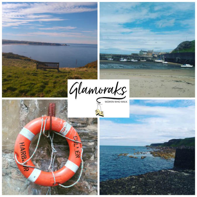
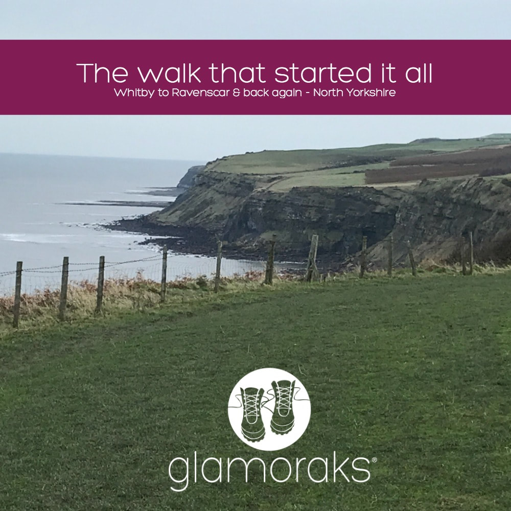
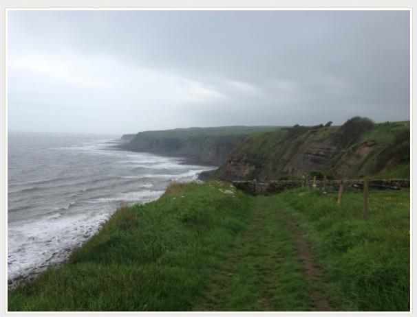
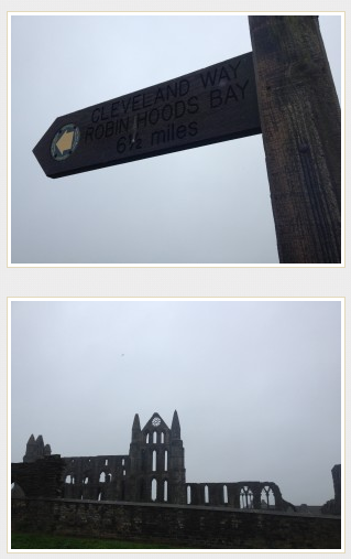
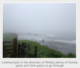
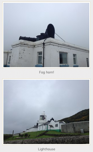
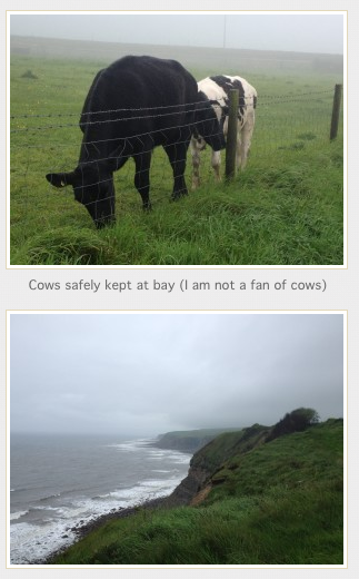
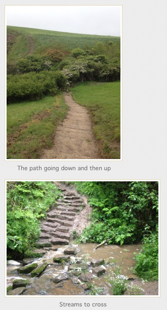
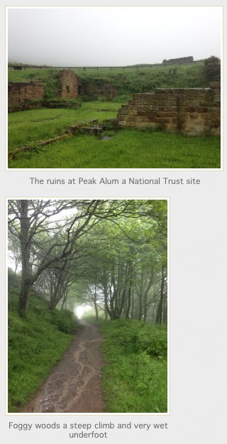
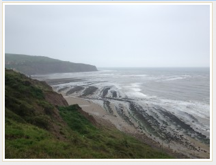
Moray coastal walk (North East of Scotland) Cullen to Findochty Distance: 12km (7.5 miles) Difficulty: easy Type of terrain: beach, cycle path, village streets Start point postcode: Cullen - village square. A98 post code for sat nav would be AB56 Resources: OS Map 425 Everyone needs that one place where they go and all their troubles melt away, a place to think, plan and breathe. Cullen is that place for me and this walk is my go to walk when I just want to chill out. There’s something about the air on the Moray coast. It’s cleaner, fresher and just altogether better. This is an easy walk with no need for any special walking gear. It is along a section of the moray coastal trail of around 12 kilometres taking around 3 hours to complete. The path is on a well-established cycle route and via village streets. I walk a section over the beach, but this can be missed out if you’re not the sand between your toes type. The village of Cullen is where I start this walk. It’s famous as the birth place of the famous Cullen skink soup, which is a delicious creamy fish soup. If you have time for a bowl I would highly recommend it. The village has a few cafes and antique shops to browse. You can park in the village square. Parking here is free and there are public toilets. This is on the A98 post code for sat nav would be AB56. I would walk back up the hill as if heading back out of the village and follow the signs for the caravan park. Once at the caravan park there is a path which leads along the cliffs and towards a view point known as Nelsons Seat. This is a great spot to gaze over the Moray Firth and if you’re lucky perhaps spot a dolphin. From here continue on the path down toward a small rocky beach which on a sunny day is perfect sun trap and has few visitors. Be warned if you fancy a paddle here it’s very rocky and not the safest without some sort of water going footwear. At this point you would have 2 choices you could follow the path on the right which takes you along the cliff side and on to Sunnyside beach and Findlater castle. I have never been able to take this path as I have a fear of heights and find it too much to pass over the narrow path. I therefore take the path round to the left and if you follow this you will head back to Cullen. Just before you re-enter the village you pass a small pet cemetery. I find this quite a touching place to have a look around and a reminder of how special our animal friends can be. Once back in the village I follow the street past the harbour and head towards the beach. You will see the rock formations known as the Three Kings and then walk along the beach. There is a path just off the beach which heads through the golf course that connects to the main cycle route. Then follow the cycle path to the village of Portknockie and onwards to Findochty. Once in Portknockie you head off the cycle path. The next part of the cycle path is signed posted, follow these through the village and admire the lovely village homes before picking up the cycle path again to Findochty. This section is quite exposed to in parts and can be cold on a windy day but has amazing sea views. The path continues on past Findochty to Buckie and Spey Bay and beyond. My last visit to this route was early spring and I left it a little late to continue along the path, on reaching Findochty I took the same route back to Cullen and ended the day with a lovely coffee and brownie in the Rockpool café. Want to meet other women who love to walk? Join Glamoraks.  This post was contributed by Glamorak Linda Chessor I’m 43 years old. I live in the north east of Scotland. I do mainly coastal or forest walks. I'm not the best at hills, but do attempt them now and again. My sister is lucky enough to live in the Cairngorms so she does occasionally get me up a hill. I'm a nurse and work 12 hour shifts, so walking for me is the best way to unwind from work and gives me four days most week to get out and about weather permitting. I occasionally walk with my www.borrowmydoggy.co.uk friends Bix and Hunter. I first wrote this blog post in May 2014 on a now defunct blog. But thanks to the wonders of the internet, I could find it. So here it is - the walk that started my love of walking: Dont get me wrong, I like other people. But occasionally I do like to head out on a little adventure all by myself. It makes it slightly more scary, slightly more liberating and it gives me plenty of time to think. Or sing aloud with no-one listening. As I have no children this week (I know, how did I wangle that one?) I decided to buy some hiking boots and a small backpack and attempt a bit of the Cleveland Way. If you did the Cleveland Way in its entirety, you'd have to walk 110 miles. I didn't have the time to do that and did I mention I had new boots? So my grand plan was to catch a train from York to Scarborough (somehow going on a train always makes any trip seem that much more of an adventure), then walk from Scarborough to Boggle Hole Youth Hostel just before Robin Hoods Bay. And then after a night in the hostel, walk to Whitby, where I'd catch a bus and go home. Except on the morning of my trip, the Met Office gave a yellow warning for rain all along the Yorkshire coast, with not insignificant winds just to add to the mix. Given the walk is a clifftop coastal walk, which does get very muddy and you walk quite close to the edge at times, I started to have second thoughts. After much deliberation while the heavens poured down outside, I decided to drive to Whitby, walk to Boggle Hole and then retrace my steps. That would make a shorter walk and if the weather really got too vile, I could simply turn around and drive home. The weather was pretty vile. But I wish I'd stuck with my original plan because it was manageable. And there is something utterly liberating about walking in the rain. If you have good shoes on, your feet stay dry. This is important. If you wear natty waterproof trousers as I did, your bottom half stays dry (even though you will look like a telly tubby). If you wear a really not very good supposedly waterproof jacket, you will get wet. But once you're wet, you're wet. And who bloody cares when you get to see this: I walked for a good hour that morning before I saw a single other person. It was just me and the cows and the sheep and the seabirds and fields of buttercups dancing in the wind. And because no-one was there, I could sing out loud (Sound of Music was my preference) and talk to myself (yes, I know its the first sign of madness but it helps to talk out loud when you're trying to build a plot for a book). It didn't matter that my clothes were filthy, that my hair was in knots, that my face was make up free and rather sweaty. I could just be me. It was lovely. When you stand on a clifftop, with the wind pelting rain at your face, looking out at the vast curving expanse of sea in front of you, you get a real sense of the earth's size, shape and beauty. While pretty huge, it makes you realise just how tiny it is in relation to the rest of the universe and how tinier still we are. And that puts any problems you might have into perspective, which is why you end up singing like a loon to a field of cows in the rain. Because why not? If you like me sometimes yearn for head space and clean air to just revel in nature, I can highly recommend doing this walk (or one similar near you). Here's how to do it: I found this website very useful, with lots of info on the trail depending on where you want to start and how much of it you want to do. It also has plenty of other trails to try out. I started in Whitby. To find the start, just walk up the steps to the Abbey, walk through the gates as though you are going to the Abbey, but then follow the road to the left and you'll see a sign showing you where to go: The path is clearly signposted. You will walk through a caravan park (less lovely) but once you're through that, it's just miles of gorgeous coastline to enjoy. You will pass an old fog horn, which mercifully wasn't blaring out because it was foggy but the thing would deafen you! That is swiftly followed by a lighthouse. Besides those two landmarks, really the route is just a series of undulating hills. There are one or two places to stop for a snack at caravan park cafes, which thankfully are off the path so you can avoid them entirely should you not need food. Large bits of the walk are flat, but you do get steep inclines and declines, with plenty of little streams to cross some by bridge, others by stepping stones. You do occasionally have to walk through fields with cows (something I am not a fan of) but mostly you simply walk past the sheep and cows grazing on their side of the fence. In places the path does get very close to the edge of the cliff. I made sure I walked as far from the edge as possible due to the wet conditions and the erosion that is visible the entire length of the coast. It really does feel like the sea is taking big bites out of Britain and one day there will simply be no land left! Walking into Robin Hoods Bay, you head down a very steep hill. If you've never been to Robin Hoods Bay, it is an old fishing village with houses stacked on top of each other, clinging to a steep hill as though they are afraid they might topple into the sea. I stopped for a cup of tea and scone with jam and cream at the bottom of the hill just what was needed on a very wet day. I got to Boggle Hole (about a 1/2 mile after Robin Hoods Bay) but I felt I hadn't walked enough (I'd only done about 7 miles) so I kept going to Ravenscar. I passed the Peak Alum ruins, saw deer in fields and climbed up a steep hill through beautiful woods to get to Ravenscar. Sadly, when I got there, the fog had set in so thick that I could see nothing so had to turn around and head back to Boggle Hole. I have stayed at Boggle Hole Youth Hostel before. This time I had to stay in a shared dorm, not something I have done since I was about 21. But it was fine the showers were hot, the beds not too uncomfy for bunkbeds and frankly all I wanted to do was sleep after eating a meal and having a small bottle of wine. After wolfing down my full English (£4.99 from YHA) this morning, I set off retracing my steps. This was the view that greeted me this morning: I was amazed that I had no blisters given I had new boots, but my feet were fine, if a little stiff. Like the rest of me. Who knew walking up and down hills in slippery mud could tire you out so much? After almost reaching the end, and after stopping for a moment on a bench to admire the view and complete solitude, I begrudgingly got up and did the last slog back to Whitby. Slog, because my feet were tired by then and I had to see other people. Didn't they get the memo that the Yorkshire Coast was mine, and mine alone? And then I rewarded myself with a proper Yorkshire lunch of chips n gravy. And that was it. By my reckoning, about 23miles in total walked. I now have the walking bug (not to mention the boots and backpack) so will be doing a whole bunch more of it. Coast to coast perhaps? Since I wrote this back in 2014, I have gone on to walk the Coast to Coast, the West Highland Way, climbed Snowden, walked the circumference of the Isle of Wight and have climbed Kilimanjaro - plus heaps of other walks in between. All because on that rainy weekend, I decided to put my boots on and go have an adventure. Why don't you try it? You may just find yourself in the process.
If you are a woman who loves to walk, join Glamoraks, a global online community of women who love to walk. Find new walks, meet new people and get out there more often. And sign up to be on my mailing list so I can keep you informed of any news. |
Categories
All
Archives
July 2024
|
||||||||||||||||||||||||||||||||||||||||||||||||
Get social. Follow us.
|
Don't get left out.
Add your email to be alerted about any Glamorak events, walks, get togethers, challenges or news.
Success! Now check your email to confirm your subscription.




 RSS Feed