|
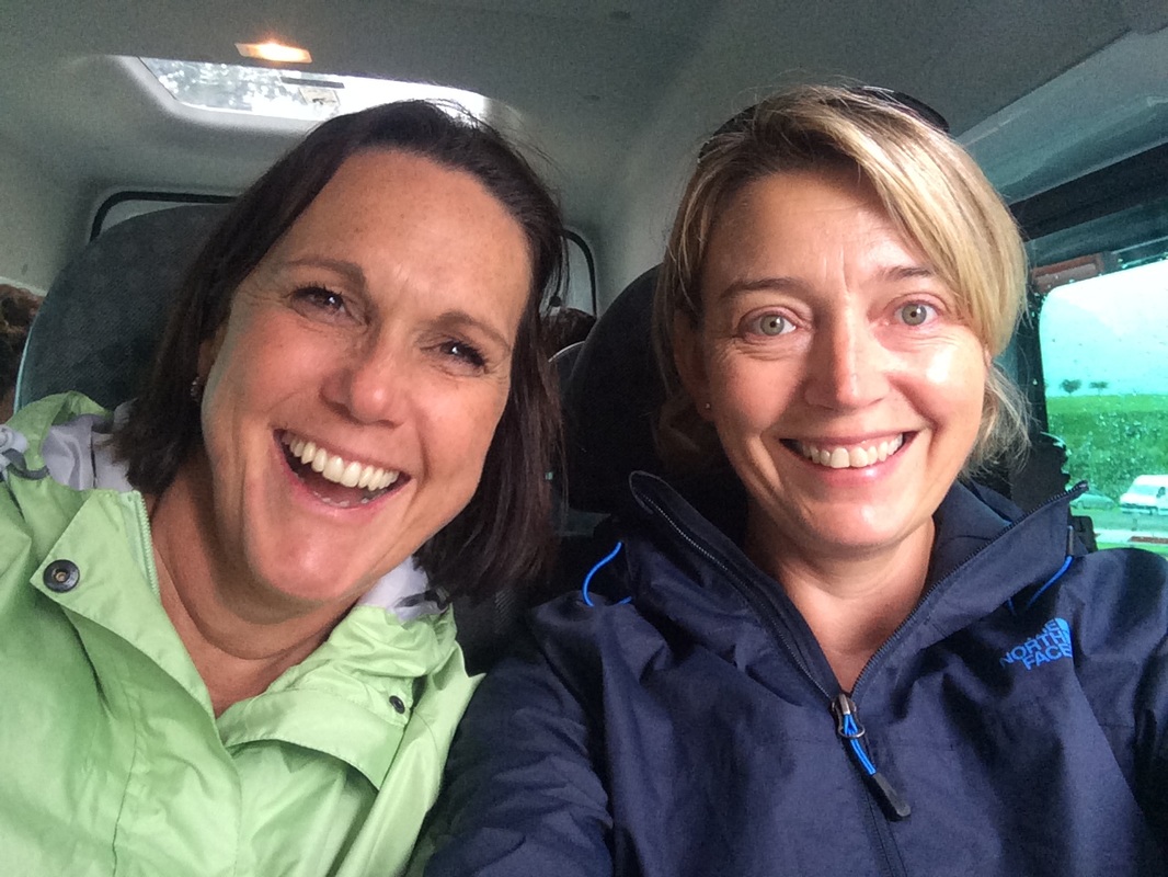
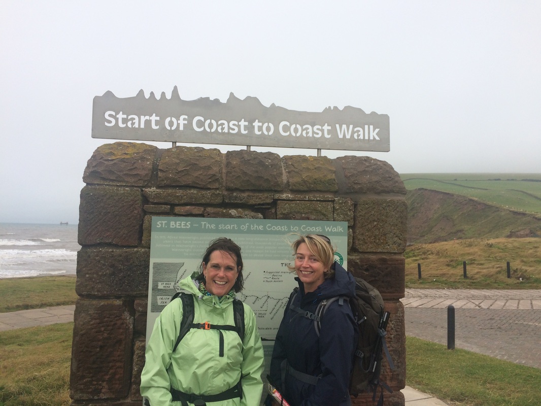
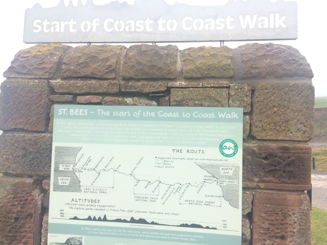
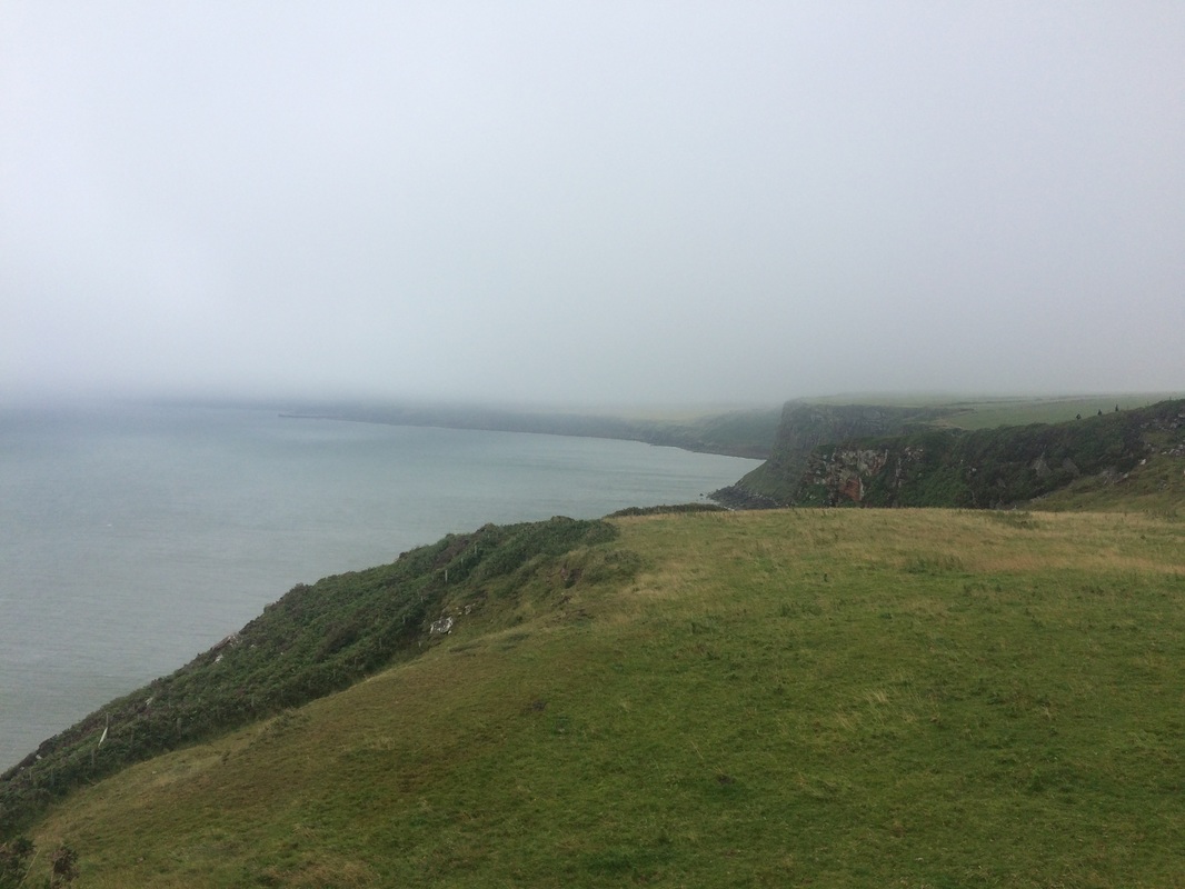
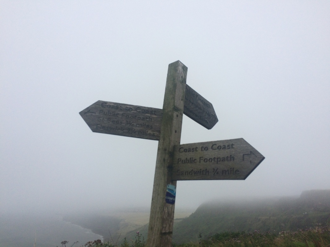
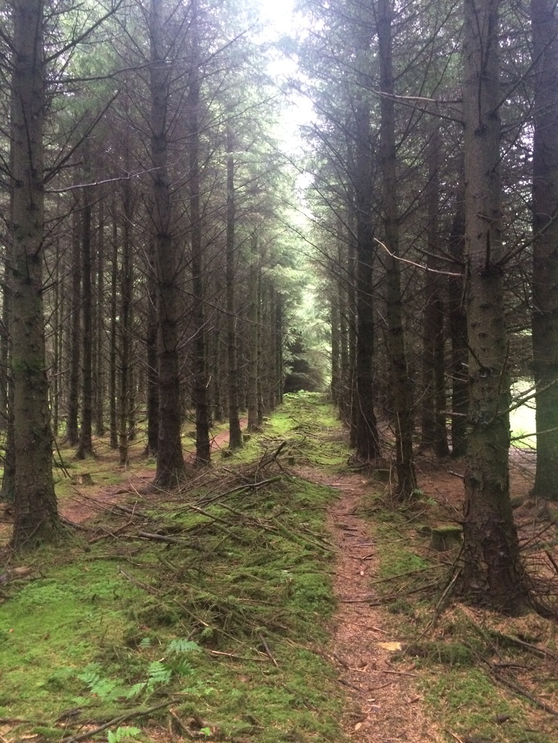
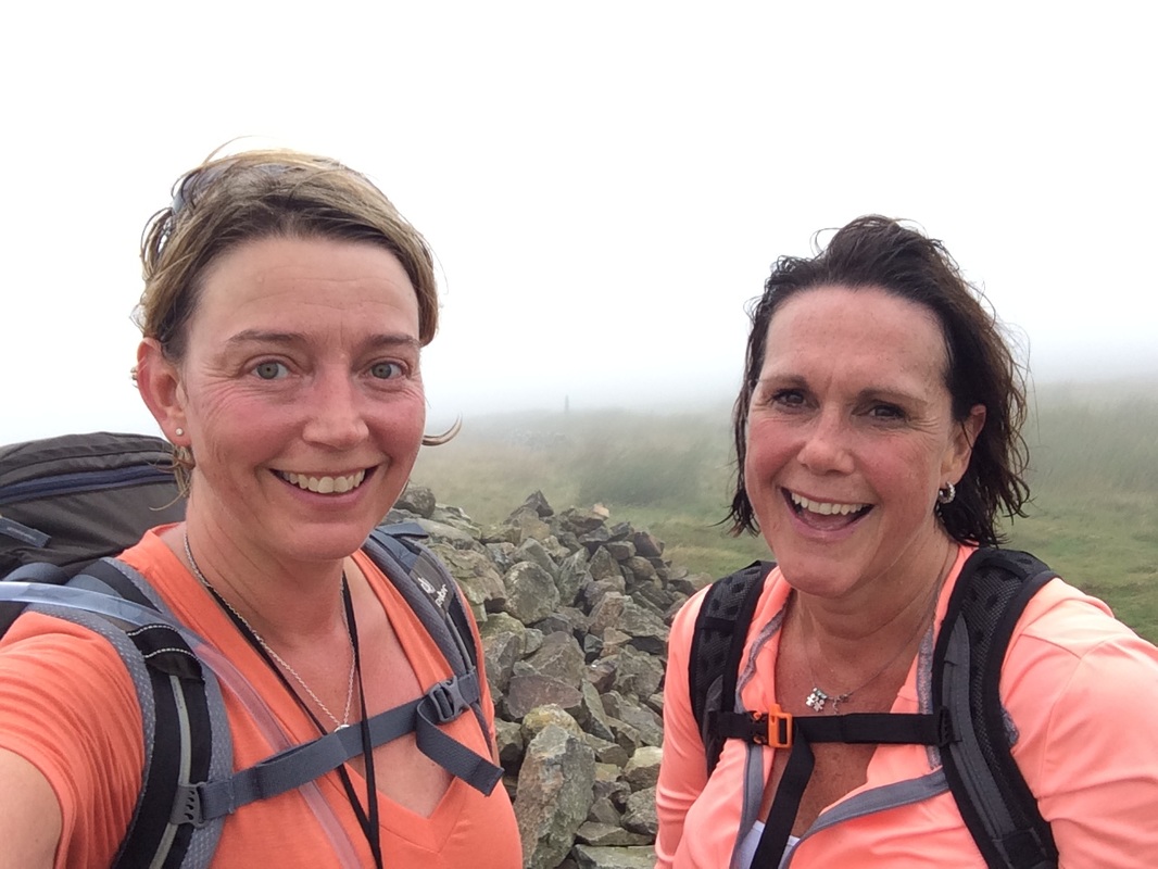
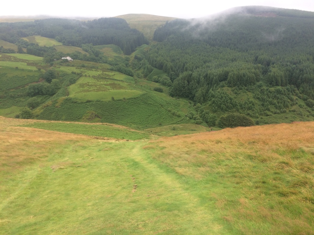
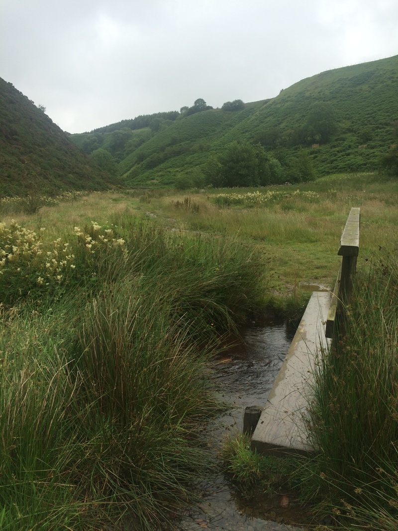
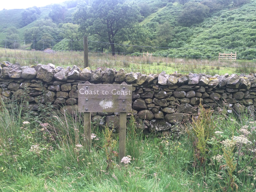
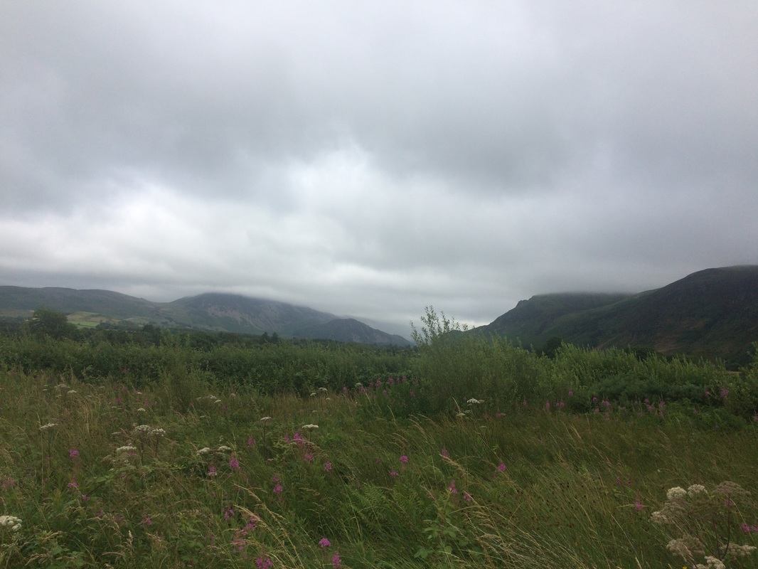
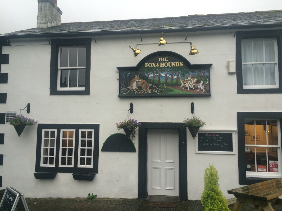
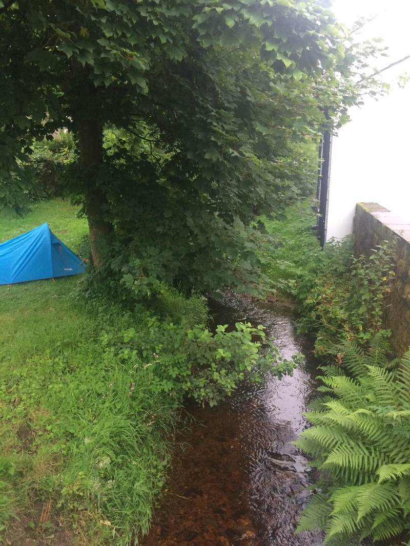
Distance: 14 miles on paper. 17.29 miles walked according to Mapmywalk. 1771 calories burned. 7 hours walking. I'd like to say that I was well-prepared for the start of the Coast to Coast, in full fitness. But I'd be lying. My training had been somewhat scuppered by an achilles injury in the build up to it. ( I shall write a separate post about how to prepare for the C2C and what to pack.) So it was with quite a bit of trepidation that my cousin and I set off from York at 6am, my long suffering husband driving us to Kirkby Stephen where we would meet our C2C Packhorse Van for a lift to St Bees. We almost immediately had a near disaster. We were so nervous as we met up with the coach and sorted out our bags that I left my guide book and maps in the car. Luckily my eagle-eyed husband spotted it and got it to me before we pulled away. Phew. As we drove to St Bees, crammed in a misty windowed van with about 14 other nervously excited walkers and cyclists, we tried to catch glimpses of the landscape we would soon be walking through at a far slower pace than we were whizzing past now. We arrived at St Bees under heavy grey skies. Strong winds whipped the rain into our faces as we posed at the Start of the C2C sign. It didn't do much to settle the butterflies. I kept thinking how ridiculous it was to feel nervous about going for a walk. But I was. I didn't want to fail. I wanted my achilles to hold up. And I wasn't at all confident it would. We hopped down to the beach to collect two pebbles, one to keep and one to lob into the North Sea should we make it there. Realising there was no reason to linger, we started the climb up the coastal path away from St Bees. , That first hill up to the sea cliffs certainly got the blood pumping and set the tone for most days of the rest of the trip - a big fat hill to climb first thing. We spoke non-stop, as you do when you haven't seen someone for a long time, barely taking in the views over the Irish Sea. We glanced at the Old Lifeguard Station, which looks like a forlorn and discarded Star Wars movie prop, and noted the St Bees lighthouse to make sure we were on the right track. Our first point of navigation came at the turn off after Birkham Quarry, where a handy signpost told us where to go. The sea mists were starting to roll in and things were taking a turn for the decidedly damp. We left the sea behind us and headed inland towards Sandwith, an energy bar to fuel us. It was at this point that we met our first fellow Coast to Coasters - John, his son Rob and Rob's partner Jimmy. We struck up a pleasant conversation, while navigating our way through farm buildings, under railway lines and along an old disused railway line to Moor Row. Perhaps it was the bleak weather but Moor Row isn't the most beautiful village and we had rather hoped that the Pop In Walkers cafe as advertised in the book would be open. But either it had shut down or we were lost, but we failed to find it. All hopes of a nice cup of tea were dashed. So we plodded on in the wet to Cleator. According to the book, this was the last place with a shop until we reached Grasmere. But we were fully stocked up and frankly, the shop was 1 mile out of our way, so we weren't going to investigate it. We did walk slightly off course to find somewhere for a late lunch. We stopped at the Brook Inn where they served Sunday Roast or a Sunday Roast. Lynda and I opted to share a Sunday Roast - we didn't think we could walk with a belly full of Yorkshire pudding and roast potatoes. Our fellow walkers weren't as shy and filled their boots with pints of beer and a full plate of food. Something they may have regretted when they realised what came next. We said goodbye to our new friends and prepared to tackle our first proper hill of the walk - Dent Hill (roughly 350 metres in height). In contrast to some of the hills we had to come, it was nothing really, but for a first day when your fitness levels aren't quite up to muster, it's a long climb up. It starts with a very wet, boggy walk through a track in the forest, which we eventually left in favour of walking through the stunningly beautiful pine and moss covered forest floor as it was marginally dryer. It was like a fairy land, with countless mushrooms (or toadstools?) growing. By now we were realising that our waterproofs boots were not actually waterproof after all. Excellent. We climbed and climbed through ever-thickening mist so that by the time we reached the cairn at the top of the hill all we could see was white, rather than the advertised views of 'the Lakeland Fells ahead and the sea behind.' Suitably puffed out by the climb, we now faced what according to Mr Stedman's book was 'the steepest part of the whole trail - mind your ankles!' Called Raven's Cragg, it apparently wasn't on Wainwright's original Coast to Coast but it has become the de facto route. It was indeed very steep, a grassy slope straight down that made my knees ache. The walking poles my husband had laughed at me for buying came into their own. (Note: walking poles may make you look like a super geek, but they are absolutely necessary on this walk, unless you have knees of steel). The knee knackering slope is absolutely worth it for the stunning Nannycatch Beck you find at the bottom. This beautiful, narrow valley has the beck bubbling it's way along it, birds of prey soaring above it. We had to zig zag our way over the stream numerous times, sometimes on bridges, but often on stepping stones or just wading through it. Once your boots are wet, they are wet and it makes very little difference. We finally left the valley and walked the last part of day one towards Ennerdale Bridge, views of the hills we'd be climbing the next day in the distance, the tops of which were hidden by clouds. We finally arrived in Ennerdale Bridge, a very pretty little village with another bubbling brook rushing right past the pub we were staying at - the Fox & Hounds. We were given a warm welcome by the pub staff and shown the boot room where we could dry out our boots (although there was no newspaper to put inside them, which would have helped). Like magic, our bags were waiting for us. We immediately realised the error of our ways in packing such a large bag. When you've walked 14 miles you really don't want to have to lug a huge bag up a flight of stairs to your room. But we did. We set about doing stretches, rubbing all sorts of gels and creams into aching muscles and having a much needed shower. My achilles had held up but the test would be what it felt like the next morning. I enjoyed a giant burger and chips for dinner - given the number of calories I'd burnt off, it was fully justified. One pint of beer and I was a pathetic mess, barely able to keep my eyes open after the early morning start, a blast of fresh air and lots of walking miles on unfit legs. I was fast asleep by 9pm, the sound of the stream bubbling along outside the window a gentle lullaby at the end of day 1. On to day 2
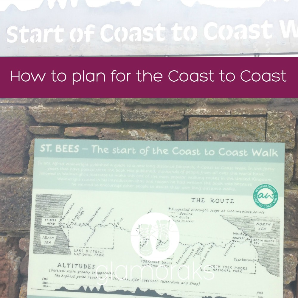
How to plan for the Coast to Coast Want to walk the coast to coast? Join the Glamoraks community and find a walking buddy.
4 Comments
So I'd made the decision. I was going to walk Wainwright's Coast to Coast. This walk of approximately 192 miles (give or take how lost you get) starts in St Bees in Cumbria and ends in Robin Hood's Bay on the North Yorkshire Coast. Or vice versa.
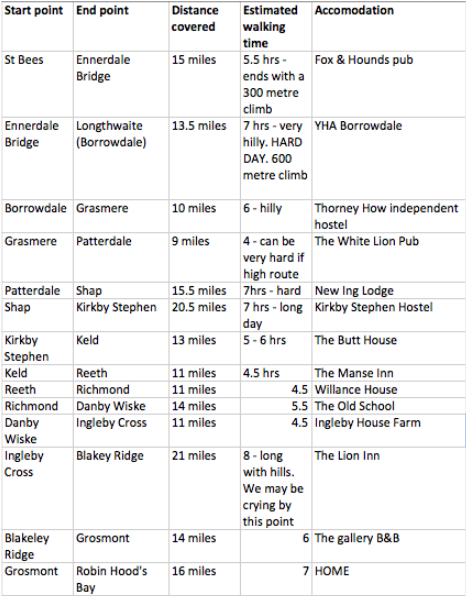
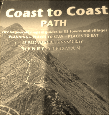
I knew the start and end points. Everything else was a blank canvas. I used the brilliant Trailblazer book to help me plot out my route, find accommodation and used it as the map for the actual walk. I couldn't have done it without the book frankly. Decision one: East to West or West to East? Most people walk it West to East i.e. St Bees to Robin Hood's Bay. Because the prevailing weather is at your back. And because most of the books are written that way so if you did it East to West you'd have to be pretty good at interpreting the route (and if you're like me, interpreting the route going the right way was hard enough.) Another good reason to go West to East is because most people do, so you get to meet more of the same faces as your journey progresses. We only bumped into one couple walking the other way, which must make it pretty lonely. The downside of going West to East is that you start with the must stunning scenery first but also the most brutal sections, without having time to get fit. Be warned. There is no gentle introduction. Your calves, quads and buttocks will be screaming obscenities at you by day 3. All in all, I'd go West to East but hey, feel free to try it the other way. Decision two: How much time do you have? Apparently the shortest time taken to do the coast to coast on foot is 2 days. But I can assure you that the people who did that were either being chased by a pack of wolves the entire way or were extreme athletes. We met some people doing it in 8 days. They still, in my mind, fall into the category of certifiable. But if you like striding out really fast for roughly 30 miles a day, crack on. Sensible people (like moi) do it in 14 days. That's still quite punchy by some people's standards as it doesn't allow for a rest day and will involve at least two days of over 20 miles. But I'm not a fitness freak and I managed. Others take a more leisurely 15 - 18 days, with a couple of rest days or breaking up the longer legs into shorter days with plenty of time for tea, scones and sightseeing. (I'm looking at you retirees....) And some, like an 81 year old man I shall speak more of later, was doing it in his own sweet time. He carried a tent on his back and would walk as far as he could and if he didn't make it to his destination, he'd pitch his tent or thumb a lift. He was still a legend in my eyes. Decision three: When to go The coast to coast season is typically from Easter weekend/April till late September, when most of the accommodation shuts down. I wouldn't do it in winter - frankly I don't think you can. We did it in August, which meant it was busy. Don't let that put you off. By busy I mean you may see other walkers from time to time, rather than being completely on your own. And the bonus of doing it in August, you get to see the spectacular heather on the moors. May is another good month for flower fans as the bluebells will be out. Decision four: Type of accommodation If you have firm views on the type of accommodation you want to stay in, the way you break up the route will be affected because not all destinations have a big variety of places to stay. You can camp, either carrying your kit with you (barking mad but supreme flexibility) or have a transport company do it for you, but that kind of defeats the spontaneity of camping. You can stay in bunk barns or youth hostels, pubs or B&Bs or if you're really going all out, hotels (where available). Most people pick a mixture. The independent youth hostels we stayed at were brilliant, but then again, some of the B&Bs we stayed at were incredible and almost the same price. Just because something is called a hostel, don't turn your nose up. Our most disappointing stays were at pubs, but even they weren't bad, just not quite the same level of personal attention. Decision five: Carry your stuff or have someone move it for you? When I first thought about doing the Coast to Coast, I imagined me carrying a backpack with everything I needed, including a tent, being completely self-sufficient. And then my ex-military husband laughed and laughed and laughed at that idea and I realised that he had a point. Camping for a night is fun. Camping when you're wet and knackered and in dire need of a warm bed and hot shower, is not. And so I figured, why bother carrying stuff at all other than what you need for a day? Just get a company to move your bag from place to place. Job done. So I did. Coast to Coast Packhorse is who we used. But Sherpa Van is another excellent alternative. Decision six: Who are you going to do this with? I was originally going to do this on my own (you know, back when I romanticised carrying a full pack and tent). In hindsight, that would have been a very dumb idea. There were people doing it on there own. Mostly men, but there was the odd single woman every now and then. They looked a bit glum. The thing is, there are one or two genuinely quite dangerous bits of this walk (glares at Angler's Crag...) and there are MANY places to get lost. There is something very comforting having someone else with you who also doesn't know the way. It goes from being a scary thing to a funny thing. If you do walk with someone, make sure they are roughly as fit as you, walk at roughly the same pace as you, and have roughly the same expectations as you do. I can highly recommend walking with a cousin who you haven't seen in years and therefore have plenty to talk about. Decision seven: Organise it yourself or use a company to do it for you Using the companies mentioned above - and many others - you can simply tell them how far you want to walk each day and they'll sort your accommodation for you and move your bag. Or you can do what I did - use their handy free planning tools on their websites and online accommodation guides and book your own accommodation. I simply used their baggage moving services, saving myself roughly £400 by sourcing my own accommodation. It did however take me an entire day, but that was more down to route planning than anything else. Decision eight: The route This is the bit that takes the most time. I used the Trailblazer guide written by Henry Stedman called 'Coast to Coast Path'. It had many useful suggestions based on how much time you have, where you'd like to stay and how fit you are. I also used the planning tool on the C2C Packhorse website to try figure it all out. Slowly and surely I began to piece it together. Take your time doing this. Once you've booked your accommodation it's very difficult to change your plans mid walk so be sure to spend time in advance figuring out how far you want to walk each day based on the terrain and facilities. Here is the route we took should you want a handy snapshot. It includes the places we stayed and a few comments I'd made after reading the book, but without any real insight into what awaited us. I wasn't far off! In future posts I'll explained what worked and what didn't, but in general, I'd keep this mostly the same bar the last few days. P.S. the distances given were those given in the book. They were mostly a lot longer.... If you are a women who would love to do the Coast to Coast but don't have anyone to do it with, join Glamoraks and find other keen women walkers just like you. The best ideas just happen. They aren't things you dwell on and ponder over. They will simply pop into your head and make you take action. Instantly. Without overthinking it.
It was an idea like that which resulted in me walking almost 200 miles in 14 days. You see, in January this year I made a resolution to walk more. I had done a few walks along the Cleveland Way the previous year and realised that I loved it. Something about the slow pace, the quiet, the scenery, the adventure, the time to reflect, the fresh air...it was all brilliant. So I bought a book: Coast to Coast Path - a Trailblazer guide by Henry Stedman. I hadn't even read it when I posted on Facebook: 'Would anyone like to walk the coast to coast with me?' I had no idea what it entailed. I didn't know where it went or what it involved. It just seemed a good idea. I expected tumbleweeds to blow past my Facebook post. But then a surprising reply appeared. 'I'll do it.' That was from my cousin - Lynda - who lives in South Africa. Even by my fly-by-the-seat-of-your-pants standards, flying 11 hours to do a walk seemed a little out there, but she was serious. It occurred to me then that I probably ought to read the book. So I did. Some of it sounded faintly alarming - words like 'relentlessly uphill' and 'extremely boggy'. But I glossed over those bits and looked at the nice sounding pubs and B&Bs we could stay in instead. It sounded like a grand lark. And so I set about booking it. The adventure had commenced and will unfold right here ..... (In my next post I will explain exactly how I planned out our route, accommodation and baggage in case you are thinking about doing this.) |
Categories
All
Archives
July 2024
|
Get social. Follow us.
|
Don't get left out.
Add your email to be alerted about any Glamorak events, walks, get togethers, challenges or news.
Success! Now check your email to confirm your subscription.


 RSS Feed