|
Just about every plan that I made in 2020 was foiled due to Covid. So when I had a long weekend just before Christmas, I cast about looking for somewhere I could go that was also a Tier 2 zone at that time, wasn't the other end of the country and was a multi-day walk that I could return to a base everyday to reduce Covid risks as opposed to staying in multiple places. Oh, and it had to be somewhere I wanted to go. Norfolk was the answer - the Norfolk Coast Path to be precise. At the time, it was tier 2 like York, and ticked every other box. I didn't have the time to do all of it as it's 84 miles running from Hunstanton to Hopton-on-Sea, but I did a good chunk. Using the Coasthopper bus, you can pick a base somewhere along the route and always make your way back again. Two points on the bus:
Day 1: Sheringham to Cromer (4.5 miles)I arrived after lunch so couldn't go for a long walk before it got dark, so as I was based in Sheringham, I did the short 4.5 mile walk along the coast to Cromer. Sheringham has a lovely promenade decorated with an art trail. Seaside scenes are painted along the length of the promenade, creating an outdoor art gallery on one side and beautiful views along the beach and out to sea on the other. The sandy beaches in Norfolk are broken up with groynes (wooden fences that stop beach sand being washed away by long shore drift - I only know this because I once had to help my 10 year old do a geography project and I've always wanted to share that valuable knowledge again). Anyway, besides row after row of groynes and idyllic views out to sea, with wind farms far offshore, there isn't much of note on this short walk other than Beeston Bump. And here I will quote directly from wikipedia or similar: 'Beeston Bump is a part of Cromer Ridge, a range of low hills left behind when the glaciers retreated at the end of the last Ice Age between 15,000 and 10,000 years ago. The hill was used as the location for a top secret ‘Y’ listening station during World War II and the concrete remains of this can be seen on top of the hill.' So there you go. You'll also walk past quite a few not very pretty caravan parks and an area of scientific interest where the fossils of an extinct elephant, twice the size of current African elephants, was found. Who knew?! Cromer itself is a bustling town with a pier, pretty church and plenty of places to get something to eat or drink. However, I caught the bus and returned back to my base as it was getting dark. I had hoped to retrace my steps but I didn't fancy walking through semi-populated caravan parks alone and as much of the path was along a steep cliff edge, that didn't seem sensible to tackle in the dark either. Oh well, I'd make up for mileage on day 2.
Day 2: Sheringham to Stiffkey (16 miles)Not wanting to get caught out by the lack of light again, i set off early. 7.30am just as the sun was rising - glorious. The early morning walk gave beautiful views once again along a cliff top. The path then drops down onto a pebbly beach and despite having the beach to myself - bar some anglers early on - it was tough going. Walking on pebbles kills the ankles but the serenity made it worth while. I sat on the beach having a coffee and watched a seal frolic in the sea in front of me - magic! Slightly less magic was the series of military buildings that run above the beach with large guns pointing out to sea and a weird beeping noise coming from somewhere..... I left that behind and made my way along the beach, with military buildings being replaced by marshland, a bird watcher's paradise. And indeed I saw many of those. I felt rather out of place not wearing green camo and without a long lens camera to hand. But the twitchers were having a fine morning admiring the birds. I made my way to Cley-next-the-sea that has a rather marvellous windmill and an even more marvellous coffee shop that sold giant scones and very good cappuccinos. Having refuelled, I set off again following the river Glaven out to sea before the path wove itself in and around marshland until Blakeney. From there, more marshland which at times looked like a boat cemetery teaming with birds. A handy sign saying Coasthopper showed me where to head up towards Stiffkey (pronounced Stookey just to fool people). I had really wanted to continue onto to Wells-next-the-Sea and I had daylight, just. But I no longer had phone battery and didn't want to get lost out on the marshes without it. So I headed into Stiffkey and passed the time waiting for the bus in the Stiffkey stores, which are definitely worth a visit. Lovely gift shop and I could have bought myself many Christmas presents had I had a bigger backpack. They also sell coffee! The bus stop is right outside the store, making it easy to get home.
Day 3: Wells-next-the-Sea to Burnham Deepdale (12 miles)This was a very, very wet day. Torrential rain and wind that blew it sideways into my face - but that's the kind of walking that makes you feel alive. While I really wanted to walk that missing gap between Stiffkey and Wells, as the buses require a change at Wells, I decided it would have to be missed. I drove to Wells instead, parked on the quay side, got a coffee to stave off the cold and headed off. From the quayside, there is a long walk along a causeway down to the sea. When you get there, instead of heading onto the beach, you follow a woodland path that runs behind the sand dunes. It's pretty and peaceful but I wanted to see the sea. At last, you pop out at Holkham Gap (incidentlly there is a visitor centre here and loo.....because you know, the coffee you started out with.) And here you at last walk along the beach with views out to sea. You can also walk along more forest, just as pretty but I wanted to feel the wild sea wind blowing my face off. You track this section for what feels like a long time, with the scenery changing again, this time grass covered dunes. I was entirely alone in amongst them and felt like I was the last person on the planet. No pandemic or risk of infection - just me. Alone. After stopping for a little rest on the beach, I trekked along a raised dyke across marshland, with plenty of birds to look at as I went. I arrived at Burnham Overy Staithe and was tempted to call it a day due to just how wet it was. My waterproofing had given up and was now causing seepage. But I hadn't travelled to Norfolk to give up because I was damp. I soldiered on. I almost immediately regretted that decision. The bit from Burnham Overy Staithe to Burnham Deepdale is a long, long, long trek across marshland where there is very little to see in any direction. In fact I'd go so far as to say it felt a bit scary being quite so stuck out in the marshes miles from everyone. I know in reality it wasn't that far away, but it felt it. What made it worse was the mud. Every step taken forward meant a half step slide back or sideways. It was an epic work out, particularly when I realised that I had just 40 minutes to make the next bus or have to wait in the rain a full hour for the next. So I attempted to run. You try running in heavy boots on slippery mud.... Anyway, I made it with five minutes to spare looking like a drowned rat. I caught the bus back to Wells, got my car and got back to my base to heat through. I had hoped to walk from Burnham Deepdale to Hunstanton, the last bit of 10 miles, but I had to get back and be a mother. I did however drive the route and a lot of it looked similar to the marshlands of the day prior, so I felt I'd seen enough of that for a while. In short, it was a lovely mini multi-day walk with scenery that really does change every few milies. Who knew there were so many different types of shore lines? I do now. If you would like to do a walk like this but want company, join the Glamoraks App or Facebook group (it's free) and find like-minded women to walk with.
1 Comment
In late August/early September 2020 I was meant to do the Tour du Mont Blanc. But the global pandemic had other plans. With time off work and in need of an adventure, I decided to walk the Northumberland Coast Path solo, carrying what I needed on my back. I didn't fancy camping and lugging all that kit with me, opting for any available accommodation. This proved tricky as accommodation was in very short supply and so I couldn't follow the itinerary suggested by the official route. The Northumberland Coastal path runs from Cresswell in the south up to Berwick-on-Tweed in the north, a total of 62 miles or 100km of coastal walking, littered with castles and history. If you've never been to Northumberland. then you need to add it to your list of places to go. It is jaw-droppingly beautiful with plenty of little coastal villages to explore or take refuge in when in need of tea/cake/chips/wine. And given some of the weather I faced, refuge was certainly needed at times. I decided to tag a bit onto the beginning, by starting at Newbiggin-on-Sea to enjoy the newly created stretch of the England Coast Path route. Getting there: The East Coast Main line runs up and down from London to Edinburgh. The closest train stop to Cresswell or Newbiggin is Morpeth. From there I took a taxi to Newbiggin, which meant I started walking at about 11am. You can catch a return train home from Berwick-on-Tweed. Day 1: Newbiggin-on-Sea to Amble (14 miles)Frankly I'm not sure why I decided to add the extra miles on as Newbiggin-on-Sea isn't going to win any prizes in a beauty contest. It was a grey day and a bit of a plod to start along an urban seafront and past a not very attractive power plant. But the path was clearly signposted with new England Coast path signs and I was pleased to be walking a stretch of this newly created route. Once I reached Cresswell and officially picked up the Northumberland Coast path, the scenery improve massively. The path stretched for miles along stunning Druridge Bay, with gorgeous sand dunes and a nature reserve just inland. Approaching Amble, you will see Coquet Island out to sea, an RSPB nature reserve, housing a monastic cell and medieval tower. I like little bits of history along the way. I arrived at Amble with sore feet unused to walking 14 miles, a lot of which was on sand. Amble has a busy quay with little shops and spots to get something to eat. Sadly, the only place available for me to stay - the Amble Inn - was another mile out of town. I was very pleased to have my comfy bed and tasty food when I got there.
Day 2: Amble to Embleton (18.5miles)I had a lot of miles to cover this day and the forecast was WINDY! But it promised two spectacular castles and stunning scenery so I was up for the challenge. After a hearty breakfast, I headed back into the heart of Amble and out the other side, walking alongside Warkworth harbour before climbing the hill into Warkworth. Atop the hill sits Warkworth castle, one of the few Northumbrian castles I hadn't previously visited. I didn't have time to go in but gave it a wave before walking through the very pretty village of Warkworth with its even prettier bridge, which spans River Coquet. From there it was miles of gorgeous sand dunes (the path itself running behind the dunes so wasn't heavy going underfoot). I had to play dodgems with flying golf balls as links courses dot the path. There are handy bells to ring to let golfers know that you're passing through. I then reached the River Aln and the lovely village of Almouth. I stopped for a bite of lunch at the Alnmouth Village Golf Club (the oldest links golf club in England) where I was the youngest person by about 50 years. But they did a good sandwich and they had a loo and everyone wanted to know where I was walking to. From there I had to climb a hill above the golf course, and kept following the coastal path until it dropped down to the sea. The walking got tough for a while as it was a pebbly beach, which hurts the ankles but the scenery made up for it. The wind picked up as I headed along a long cycle path towards Boulmer and then even windier as I walked along the path overlooking wild seas crashing on rocks as I headed for Craster, famous for its smoked kippers. By the time I reached the Jolly Fisherman Pub, I was very ready to rest my feet. By chance I bumped into friends there so had a welcome catch up in the sun before tackling the last 4 miles. The walk from Craster to Dunstanburgh Castle is one of my absolute favourites and if you're ever after a short day walk, add this one to your list. I however, had to walk past the castle, making sure I took in the backwards facing views and did my final push to Embleton. I stayed at The Dunstanburgh Castle Hotel, but frankly I could have been staying under a hedge. I simply wanted to put my feet up after a very long, windy but utterly gorgeous 18 odd miles.
Day 3: Embleton to Bamburgh (11.6 miles)While a significantly shorter day, this day was still quite hard going for two reasons. 1) The weather 2) a long stretch of roadside plodding. It starts with some of the most stunning scenery of the entire walk along Embleton Bay, with views back over Dunstanburgh Castle. Little seaside cottages dot the dunes and I would very much like to have one of those. The route then followed another links golf course running next to Beadnell Bay. The wind had again picked up at this point and by the time I hit Beadnell, the rain arrived. Sadly, the stretch from Beadnell to Seahouses is a long tarmac plod alongside a busy road. I was sorely tempted to stick out my thumb and ask for a lift. I didn't and instead fought my way against the gale and face-on rain until I arrived in Seahouses, where I collapsed in a seaside pub and watched the rain beat against the windows. After psyching myself up, I did the last push from Seahouses to Bamburgh, which veers away from the sea and crosses fields, which included a field of bullocks. Sigh. The adrenalin got me across that field and views of Bamburgh Castle gave me my point of reference to work towards. I could have walked along the beach if I'd wanted to - and you could do this although it is not technically the coast path route. I didn't because walking on sand is very tiring and the wind was so fierce, the sand would have taken the top layer of skin off my face, and I was looking haggard enough. Anyway, after reviving myself at the Victoria Hotel, I headed out in flip flops to air my feet and strolled around the beach near the castle. If you've never visited Bamburgh Castle, add it to your list. It looks exactly like a castle from story books and you couldn't get a better setting. Once my feet were frozen lumps of ice, i headed back and had a large glass or two of wine.
Day 4: Bamburgh to West Mains (14 miles)If I'm completely honest, you could probably just do those first three days to get the highlights of the Northumberland Coast Path as day 4 was a bit 'meh'. Technically I should have gone all the way to Holy Island to see Lindisfarne castle but the way the available accommodation worked out, it wasn't an option for me. Plus, if you go to Lindisfarne, you have to time it right to ensure you can walk across the causeway before the tide rolls in, otherwise you will find yourself having a swim instead of a walk. I didn't have to worry about that, I simply had to walk 14 miles. The wind and rain of the last two days had been replaced with blazing sunshine. Glorious. Except today was a hilly day, inland, not much shade....did I mention the wine from the night before? It starts off beautifully with views back towards Bamburgh Castle before taking in the stunning Budle Bay. Lovely. And then after climbing a hill, do a bit of road walking, pick up St Oswald;s way, you arrive at an intercity railway line that you have to cross. That's exciting! There's a telephone you have to use to call the signalman. He'll want to know how many are in your party and how long you estimate it will take you to cross the line. He then lets you know how long you've got before the next train comes barrelling along at 100 miles an hour. Despite having five minutes to make a 30 second journey, it still makes your heart thump. Luckily I'd had a little rest in a grassy field just before this, watching the butterflies flutter about while I aired my feet and rehydrated my body. After the railway line excitement, you walk past weird, slightly spooky silos before reaching the village of Belford. Here I stocked up on a nutritious lunch of a scotch egg and can of soda from the Coop, before continuing on. After the beauty of the coastline, this all felt a big dull until getting to some woods, which were both pretty and cool respite from the sun. Out the other side of the woods is a tiny village called Fenwick, which had I been going to Lindisfarne, i would have passed through, crossed the A1 and headed off on my pilgrimage like so many other pilgrims before me. But alas, the only accommodation I could find was in West Mains, which meant a trudge along a tarmac road, another interesting crossing (this time the busy A1) and then at last found my accommodation at the Lindisfarne Inn. This was definitely my least favourite day on the walk.
Day 5: West Mains to Berwick-on-Tweed (11.6 miles)Another gloriously sunny day and I was up and out early. Despite tired legs and feet, I was ready to take on the last day of this walk. From West Mains, I dropped down to the coast line, picking up the coast path again at Beal Point, looking out over the causeway to Holy Island. From there it is a straight forward, relatively flat, easy walking stretch of beautiful coastline. I even managed to get an ice cream from a van along the way. Perfection! I arrived into Berwick-on-Tweed way too early for my departing train, so I stopped on the promenade for some obligatory chips. Sitting with my boots off, my feet in the sea breeze, eating hot chips and smelling the sea air, I mentally high-fived myself for doing the 70 miles. What a lovely, leisurely (at times tiring) but beautiful walk. There is something about coastal walking that just releases tension, letting all your worries blow out to sea. I reluctantly put my boots on, headed across the old bridge into the town, taking in the views from the old Elizabethan walls that prevented the Scots from invading the town, a nice extra bit of history before finally catching my train back to York. In contrast to some of the more remote and hilly long distance paths, the Northumberland Coast Path is relatively easy. That said, 70 miles is still 70 miles and lots of it is on sand, some pebbles and some roadside, so don't underestimate it. But the incredible beaches and fairytale castles will keep you going. I highly recommend it! And if you're looking for company to do it with, join the Glamoraks app or Glamoraks Facebook group and find like-minded women to go walking with.
Sometimes you need to walk in a group. Sometimes you just need to escape and spend time with your thoughts. That's where I was recently. I had four days off and wanted somewhere I could walk safely but entirely alone, that wouldn't be crowded, would have a few hills, somewhere for me to stay and was easy for me to get to from York. I considered to stretches of the Cleveland Way, but it can be tricky finding accommodation on the route and public transport options aren't great depending on where you start and finish. Then I remembered the Esk Valley Walk, something I'd been wanting to do for a while. As described by the North Yorkshire Moors website: The 37-mile (60km) walk follows the River Esk from its source high on the North York Moors to the coast at Whitby. It’s marked by a special waymark with a leaping salmon – yellow arrows mean a footpath and blue denotes a bridleway. The best thing about the walk is that it is served by the Esk Valley Railway line, which means you can leave your car at one end and be able to get back to it at the end. Unlike the suggested itinerary, I did it in reverse and actually decided to abandon the last part of the walk in favour of some self-navigation. Here's what I did: Day 1: Whitby to Grosmont - 8 milesThis is an easy, short day which is good for day 1 as it gives you time to get to the start. I parked at the Long Stay carpark in Whitby down by the marina. It's not cheap at £9.40 a day, but it meant I could top up my daily parking from the Ringo app every day and it felt safe. What's more, the carpark is literally the start of the walk. I plotted my route in advance using the OS Map app, which I would highly recommend you get. Worth every penny. While the walk is signposted with little leaping salmon symbols, they are not posted at every point where you might need a sign. I found myself referring to my map quite often. The walk follows the River Esk reasonably closely and on day 1 you will find yourself zig zagging across the river and the railway line repeatedly. There are plenty of bridges to appreciate pretty river views and a number of places you have to cross the railway tracks directly, keeping an eye and ear out for trains. But they're not all that frequent! If you're lucky, you will get to see and hear the steam trains chugging along the North Yorkshire Moors Railway. There are enough little hills to make you work up a sweat, particularly if you're carrying a backpack. But in general it is an easy, pretty walk to ease you into the rhythm of walking. Expect fields, sheep, rivers, bridges and railway lines. I got to Grosmont faster than expected and had a room booked at the gorgeous Grosmont House B&B. it was bliss to be able to lie on my comfy bed, with the rain coming down outside, reading a book and just enjoying putting my feet up. Dinner at the Station Tavern next door was good and filling. I had wanted to go to the Steam Cafe for one of their pizzas which are apparently very good, but they only serve those on the weekends. 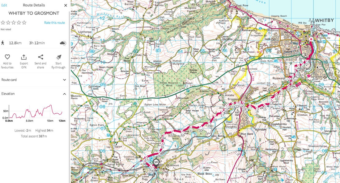 click the image to get taken to the route click the image to get taken to the route Day 2: Grosmont to Danby - 13 milesAfter a lovely breakfast at the B&B, I headed off into the rain. The first part of the walk is flat and easy, along a broad track which still criss crosses the river and railway, but it's gentle and serene start to the day. Egton Bridge is ridiculously pretty and you can wave hello to the Alpacas (or Llamas - I can never tell the difference) at Egton Manor. Once you've gone through Egton Manor there is a short sharp climb up to East Arncliffe Wood, but the woods are magical. Take your time here and simply enjoy the mossy rocks, tree canopy and the mulchy smell of old wood giving life to new plants. You pop out at Glaisdale. Be sure to take a quick peek at Beggar's Bridge near the railway line before continuing on through more woods and fields. You could stop for a snack or lunch at the Arncliffe Arms in Glaisdale, but I opted for a picnic next to the river closer to Leaholm. There are public toilets right on the path at Leaholm (top tips for all of you like me who like to know where to go!) You then climb steeply up and out of Leaholm, up and across Leaholm Moor to Danby Beacon, where you get fabulous views out towards the sea in one direction and across moorland and valleys in the other. Once you've had your fill, you can wind your way down, eventually passing the Moors National Park centre and into Danby. I stayed at the Duke of Wellington Pub. It's a great pub but be warned, the rooms are not very sound proof so if you have a room at the front like I did, you will be able to hear everyone enjoying their drinks until closing time. No problem if you're joining them, more of a problem if you want to sleep. Day 3 - Danby to Blakey - 12 milesAfter two days of rivers, railways and valleys, the wildness of the moors was calling. A brief woodland walk through Danby Park, a final railway crossing at Castleton and then the start of the climb up the moors. I somehow managed to lose my way three times early on - possibly because there weren't many leaping salmon fish signs and possibly because I wasn't concentrating. However I soon got on track. It felt like the moors were teasing me a bit. There'd be a climb, some heather, the sense that the moors were just there, and then the moorland path would turn into a farm track and down we'd go again. At one point I managed to walk right through someone's garden before I realised the error of my ways. Luckily a lovely young chap whose garden it was pointed me in the right direction. My path was still tracking along the river although it gradually fell away as I gained height. But the path became seriously boggy, overgrown and hard to navigate. So much so that I eventually decided it was time for a rest. Lying down in the sunshine listening to the noise of the birds, water trickling from somewhere and insects buzzing was lovely. Just me and nature and not another soul. I eventually roused myself and carried on the climb. The path cleared and finally, a track took me to the top of Farndale Moor. The wind was blowing and the expanse of open moorland with no-one else there was jaw-dropping. I let all the emotional stuff I'd been carrying in side me out, free to blow on the wind. It was the best therapy ever. After taking my time to enjoy the view over Farndale, I followed the broad track to the famous Lion Inn at Blakey. Anyone who has done the Coast to Coast will be familiar with this spot - an oasis after miles of desolation. It's where I spent my night. Food portions are huge and tasty. The rooms are always too hot. But I still slept like a log. Day 4 - Blakey to GlaisdaleNow if you want to complete the Esk Valley Walk, you follow the route in the image below (click it to get the route). I, however, decided I wanted more moorland and wanted to test my ability to plot a route and navigate it. I plotted a route the went from Blakey to Glaisdale via Rosedale - the plan was to go down into Rosedale Valley and up the other side. But in the morning I didn't feel like adding in a big fat hill for the sake of it, so I didn't quite follow my own route. Instead I followed the old mining railway line around the top of Rosedale and then at the junction where you could turn downhill and go to Rosedale Head Farm, I followed a path up to the top of Rosedale Moor.
Here I discovered that the path that was shown on the map obviously wasn't very well used and there was no path. I had to make my way across boggy bits and heather for quite a while, constantly checking the OS Map app to ensure I was going in the right direction. At last I came to a road, crossed that and could then follow the George Gap Causeway across the top of Rosedale Moor. It was beautiful, wild and remote and a bit of the moors I'd never been to. As the path curves, you lose sight of where you've been and the sea opens up ahead in the distance. You follow a broad, rough path with lovely views over Great Fryup Dale for a while. Then a bit of road walking, before I picked up the Glaisdale Rigg path which gradually headed downhill to Glaisdale. I was easily done by early afternoon despite having stopped for another rest to just enjoy the scenery. The Esk Valley Railway train service wasn't due for some time, so I called a taxi from Whitby and got a much faster ride back to my car. It was a briliiant four days of solo walking, a tiny micro-adventure. You could easily compress it into 3 days if time is short. Definitely one to add to your list. I'd been meaning to do this walk ever since I saw it written up on the YHA website. So when I had a free Easter weekend - forecast to be brilliantly sunny - it seemed like the perfect opportunity to tick it off my list. Here's what you'll need to do the walk: Ordnance Survey maps OL24 and OL1, covering the white and dark peak areas of Derbyshire, UK respectively. Pre-booked beds at the three hostels (YHA Ravenstor, YHA Eyam, YHA Castleton) A small pack with enough clothes and kit for three days. Don't worry about snacks - there are plenty of places en route We arrived on Good Friday in the evening. Ravenstor Youth Hostel is conveniently situated just 10 minutes walk along a beautiful river from The Angler's Rest Pub in Miller Dale. Outside tables mean you can watch the river flow past on a sunny day or head indoors for a hearty dinner when it gets chilly. Huge portions and friendly staff made for a fabulous start to our three day adventure. After a good night's sleep in a three bed private room, and a hearty hostel breakfast, we headed off leaving our cars parked at the hostel. A path leading directly from the hostel down to the river makes an easy start. Turn left as you hit the riverside path and simply follow it until you reach Cressbrook. It's a gorgeous stroll between two towering valley walls made of limestone, where crazy climbers attempt to scale the cliffs. At Cressbrook, turn left up the road, taking the right hand fork and follow it until a track off to the right leads you down to Ravensdale Cottages. The gorgeousness continues as you follow the length Cressbrook Dale, following signs for The Golden Miles fundraising walk. You go through bluebell woods and follow the valley, again hills to either side hemming you in. You pop out on the busy A623. The shock of having people and traffic is a little jarring after the peace of the valley, but the fact that the Yondermann Cafe is there, provides a good place to stop for a toilet break and a snack. We opted for a second breakfast of hot waffles with vanilla ice cream because why the hell not? We really didn't have very far to walk on day one, so we took our time before setting off across fields, past Sillydale - where we were silly - and marvelling at the range of stone styles we kept arriving at, including some designed for very skinny people to squeeze through. Bear this in mind when eating your waffles.... We soon found ourselves in the idyllic little village of Foolow with a fine pub - The Bulls Head in - where we really weren't hungry enough for lunch but felt it rude not to have something. And so we did, including a pint of cold lager as it was a very hot day. Having done almost more eating than walking, we decided we'd find a shady wall in a field to have a post lunch nap in., which we duly did. Until this point, the walk had been entirely not taxing, a stroll more than a hike. We headed into the historic village of Eyam. We hadn't quite read up on the history before arriving. At the first house we passed we saw a sign outside it saying something like: 16 people lived here, they all died. It was dated from the 1600s and I thought, no kidding they all died. If they hadn't they'd be super old by now. But then we passed a house called the plague house and it too had a morbid sign outside saying how many people in the household had died. And so it went on. Turns out that the plague was brought to Eyam by a bale of cloth brought from London in 1665. Fleas carrying bubonic plague were in the cloth. People rapidly fell ill and in a remarkable act of bravery, the village decided to quarantine itself so that the plague couldn't spread to surrounding villages. In total 280 people died, but their quarantining efforts worked and the plague didn't spread. One resident - Elizabeth Hancock - had to bury her six children and her husband in the space of a week. Imagine that?! So that was the cheery story of Eyam. We set off out of the village with the intention of finding the hostel, but somehow missed the path and ended up climbing up a big hill to see the Riley Graves, where the aforementioned Elizabeth Hancock had buried her family. It was sobering to see it, but hadn't actually been on our planned route. We retraced our steps and with the help of a friendly local, found the correct path up another steep hill to find Eyam hostel. So despite not having to walk more than 14km, it felt a lot longer after our hilly diversion late in the day. A dinner of pizza at the hostel, some wine and some competitive games of Yahztee and we were soon ready for our beds, this time in a shared dorm. Day 2 and another full English hostel breakfast and we were ready to tackle the longest of the three days. It immediately started with a hill, a long climb up to the top of Eyam Moor. A memory bench perfectly placed to take in the view was made even more memorable when a group of fell runners came up to us and asked if we'd take their picture with the bench. In the group was the widow of the man the bench was dedicated too. It was very moving seeing them out doing something he obviously loved, in his memory. That led to a long chat about where we might like to have our memory benches situated. The runners quickly left us in their wake, while we walked down to Highlow Brook, a more idyllic spot you couldn't find. A bubbling stream to cool our hot feet in, bluebells, skylarks, warm sunshine. We probably could have sat there for the rest of the day. But we continued on up another big hill past plenty of sheep and their bouncy lambs to Highlow Hall. Crossing over the road at the hall, we then followed a farm track for a good distance, taking in views of Stanage Edge to our right. At Offerton House, there was a tempting route to follow the ridge line of Offerton Moor, but our path was down the hill to follow the track alongside the River Derwent. It is safe to say that by this point it was almost lunch time, exceptionally hot and discussion was had about shortening our walk and follow a more direct path to Hope and the promised beer festival. But the gods were smiling on us by ensuring there was no riverside path for us to follow once we reached the A1687, so the decision to bottle it was removed as an option. We briefly chatted about catching the bus to Hope instead, but I'm so pleased we braved the heat and continued on because what was in store was definitely worth it. If you are doing this walk, there is a garden centre over the road which has toilets and a handy cafe, the perfect place to pick up a sandwich and cold drink as there is nowhere else to get supplies until you reach Hope. I suggest replenishing your water here if it's a hot day because you have a BIG climb ahead of you. Walking beneath the railway line, we quickly picked up the Thornhill Trail, a long flat walking and cycle trail along a disused railway line. The going was easy and allowed us to eat our sandwiches. If you kept going along the path, you'd reach the Ladybower Reservoir, but we turned left up something called Parkin Clough. If you're using walking poles, now is the time to get them out. You climb approximately 460 metres in height in less than a kilometre. It is steep but beautiful, as you climb a gorge and try to remember to breath. At last the gorge spreads out into the base of a hill and you still have more climbing to go until at last you reach the top of Win Hill. From there the 360 degree views are jaw dropping, taking in Ladybower Reservoir, Hope Valley, Edale Valley, Lose Hill, Mam Tor, Rushup Edge and the Kinder Scout Horseshoe. They say the climb is always worth the views from the top - and that is very much the case here. But the views from the top made it worth it! At this point we were a) very hot b) very sweaty c) very tired and d) in need of a cold beer. We walked past the trig point and headed down a much more gentle slope towards Hope. We passed Twitchill Farm before following the road under the railway and into Hope. Hoorah! We found the advertised beer festival at the Old Hall Hotel and very happily found a shady spot to sit down and enjoy people watching. We weren't too inclined to leave, but after a couple of pints we felt it best to complete the final stretch to Castleton, our third and final hostel destination. A pretty riverside walk followed, with many people obviously doing the same stretch. By the time we reached Castleton we were all very ready to get our boots off, but having navigated expertly this time to the hostel location on the map, we were informed that the hostel had moved and was now situated a mile out of town in the direction we'd just come from..... Ordnance Survey team - could you please update your map! We decided to have dinner in town before walking to the hostel. We went for the Peak Hotel mainly because we wanted to sit down! Huge portions of burgers and loaded nachos don't give you a healthy option, but we tucked in while sitting in the lovely beer garden in the evening sunshine. Forcing ourselves to our feet, we walked the last mile out to Losehill and the hostel, set back off the road in stunning grounds but with a driveway we wished was slightly shorter after 19 kilometres of very hot walking. Much needed showers, more yahtzee and an early night followed. Our final morning and we decided to skip the hostel breakfast and find somewhere in Castleton for something a bit different. As it turns out, we were up earlier than anyone else in Castleton and everything was closed except for the most excellent Peveril Stores and bakery. We'd discovered this little gem on a previous visit. We bought sausage rolls for our lunch as there is nowhere en route to get anything on day 3, plus bacon butties and hot coffees, which we ate while sitting on a bench opposite the shop. It handily had public loos next door, so once fed and abluted, we headed off. You head into the middle of Castleton and follow the sign for Cave Dale. Immediately you are enclosed in a stunning gorge that is littered with caves beneath it. To your right, you can see the remains of Peveril Castle including the garderobe (the castle loo). I imagine Cave Dale is a lot nicer now without having raw sewage flowing down it unlike in days past. The climb up through the gorge, was tiring, yet so beautiful we barely noticed the ascent. At the top, we simply followed the signs for the Limestone way across the top, before gradually descending to the first of three back-to-back dales, each distinctly different in look and feel to each other. Hay Dale was first, with mini cliffs and a gentle hobbit like feel. Next came Peter Dale, a broader, green and lush valley edged with high cliffs. Last came Monks Dale. This was an overgrown, jungly affair, with high temperatures and a sense that it might never end. If I did it again, I'd skip Monks Dale and stick to the Limestone Way, which means another hill climb, but that is no doubt easier than the rocky path we had to follow. Just as our sense of humour was waning, Millers Dale and the Anglers Rest pub hove into view. One more short push back to the hostel alongside the river and we were done. Having reclaimed our cars, we returned to the Angler's Arms for a final cold drink before bidding each other farewell and making our way home to our various parts of the country. It was a fantastic walk totalling about 50km (30 miles) which is very doable over three days. Do count on some steep hill climbs but you will be rewarded with gorgeous views. And frankly, if you ate and drank as much as we did, you'll need those hills to burn off the calories. Three night's accommodation cost £75. Hostel breakfasts are £6.75 and if you go for their supper club option (a main and a pudding) it costs £9.99. Do add in some pennies for all the lovely places to stop and get drinks and snacks. The route
I would never consider myself a brave person. I'm scared of heights and cows and caterpillars. I don't do scary rollercoasters, go in confined spaces or jump off high things.
But I have decided that I want to take on a challenge that scares me. Many people will think I am insane for considering it. Others might shrug and think it's not that scary. I'm not doing this to compare my adventure ability with anyone else. I'm doing it to prove to myself that I can. (And to give me the content for a book, which I want to write.) I have set myself a goal to not only do this adventure, but have written the book and become a speaker about how to challenge yourself by the end of of next year. And unless you set big, scary audacious goals and tell people about them, life will just stay the same. I'm tired of waiting for a magic wand. I'm making my own magic. My plan: To walk the Cape Wrath Trail. On my own. April/May 2018. The Cape Wrath Trail is considered the UK's toughest long distance walk. It's not the longest. In fact it's only 200 - 250 miles. The reason the mileage is approximate is because there is not an actual trail. There is no lovely way marked footpath. You have to find your own way from Fort William to Cape Wrath, the most north westerly point in the UK. The way goes through some of Scotland's wildest terrain, boggiest ground and most remote areas. It is tough walking where every mile feels double that. Not only will I have to navigate my way using a map and compass, I will have to carry everything I need on my back. My accommodation will be a tent, wild camping anywhere I can find a not boggy piece of ground. Or staying in very, very remote bothies (little stone huts that provide four walls, a roof and a fireplace, with little more.) I will have to carry my own food - there are not many places to restock en route. Access to water will be less of an issue, but will require purifying. Staying dry will be a major challenge. In fact, I can expect to have wet feet for the 20 (to 30) days it will take me (depending on how lost I get). If I go too early, there will be too much snow/cold. If I go too late, there will be too many midges. If I go from August onwards, I'll come across deer stalkers doing a deer cull. And when I get to Cape Wrath I will need to ring the MOD to find out if they are practicing live drills or dropping real bombs. They typically do this in April. Upon reaching Cape Wrath, when you are supposedly done, there is a long slog over bogs to reach a tiny ferry, which may or may not be running depending on the weather and the sobriety of the skipper. Once across the Kyle of Durness, I will need to get back home. There is a very limited bus service. I have walked 192 miles during the coast to coast. But I have never carried my kit on my back (except for one 1 mile walk to a wild camp). I have wild camped on my own once, close to home in sight of humanity. This walk will require massive physical, mental and emotional endurance. Getting lost, running out of food and crossing rivers are the three big challenges (the rivers can be particularly dangerous if in spate). I expect to cry a lot. But I want to know that I can find my way in the wilderness. And I want to embrace the solitude and amazing views. I think everyone needs to test their endurance at some point in their life. I've done other challenges, but nothing on my own. And frankly, why start small? If you're going to go solo, go REALLY solo to one of the last remaining wild spaces in the UK. In the words of Rafiki from Lion King, 'It is time.' My husband has kindly agreed to me doing this and some how I'll sort out childcare cover. I will take a satellite emergency tracker so that should I get into real trouble I can call the rescue team and so that my path can be plotted at all times. I have booked myself into a Mountain Navigation Skills course for November and will have my silver certificate by the time I go, with possible additional training should I feel I need it. Plus I will be doing practice walks in boggy ground carrying a heavy pack. I do not want to have to call the emergency services unless absolutely necessary so I won't be going into this ill prepared. I know that for many women, the thought of being alone in a bothy with strange men who happen to also be there may seem dangerous. But it is highly unlikely that people walking that trail are the type to go raping and murdering. I doubt they'd have the energy! I have applied for an adventure grant (fingers crossed) to cover the costs and have got in touch with a mad man who has run it in 8 days, getting tips and advice from him. I have the maps and guide book. I AM GOING TO DO THIS EVEN IF IT SCARES THE SHIT OUT OF ME. There. I said it. No turning back now. So why should a mother in her forties choose this over having a comfortable bed and a nice holiday with her children in the sun? I do question my own sanity. But I also know that inside me is a secret adventurer. Not a very brave adventurer, but an adventurer all the same. Every single time I have pushed myself out of my comfort zone, I come back feeling a little more confident, a little more capable and a little more comfortable in my own skin. As they say, it's only when you get lost that you truly find yourself. What's your challenge for 2018? Please join me in the Glamoraks group on Facebook to share any adventures you may have planned. They don't have to be a multi-day hike through the wilds of Scotland. Just tackling whatever is out of your own comfort zone is enough. Seriously. If you have never put on a pair of hiking boots and even walked a mile, make that your challenge. This is not a competitor sport. It's not about who has gone the furthest or done the toughest thing, it's about pushing your own personal levels of comfort so that you can discover just how remarkable you are. And trust me, you are remarkable. You just need to realise it. Distance: Variable - from 5 miles to 12 miles Terrain: Mostly easy walking on flat, broad paths - but expect steep climbs up and down when you go into and out of the valley Refreshments: The Lion Inn, Blakey Ridge, Dale Head Farm Tearoom (plus Shepherd Hut if you fancy spending a night somewhere remote), plus plenty of pubs and tea shops in Rosedale Abbey 'Would a rose by any other name smell as sweet'. That is the Shakespearian line that played on repeat in my mind as I walked along the ridge line overlooking Rosedale in the North Yorkshire Moors. There wasn't a rose in sight, just miles of heather, breathtaking in its purple splendour. I was gobsmacked that I'd never been to this part of the moors before, which incidentally isn't named after roses, but possibly after the viking word 'rhos' for moor. As it turns out, I had actually skirted Rosedale when I did the coast to coast, but didn't realise where I was at the time (I was a little preoccupied with the blisters on my feet having just walked 25 miles in a single day). But the best finds are often completely unexpected, so let me rewind. A friend had called to say that she was spending a night in a shepherd's hut somewhere remote. I invited myself along. Armed with just a postcode and a couple of bottles of champagne, I drove from York, to Pickering, then across to Hutton-le-Hole. As I climbed across Spaunton Moor out of Hutton-le-Hole, I was greeted to a breathtaking sight of heather as far as the eye could see. Daft sheep kept wondering across the narrow road, which meant I had to drive slowly giving me ample time to take in the vista. I was listening to Cold Play's A Sky Full of Stars as I drove, and the combination of uplifting music and stunning scenery plastered a smile of my face while simultaneously moving me to tears. It was simply jaw dropping. Bracing myself for a perilously steep drive down Chimney Bank (there is a carpark there where you can take in the view - post code YO18 8SE), I noticed old stone structures on the side of the hill and wondered what they were. I found out the next day.... I made my way through the ridiculously pretty town of Rosedale Abbey and still the road continued. Eventually I could drive no further as the path petered out. Stopping the car I climbed out and found my friend, wearing fluffy slippers, sitting in the sun outside the shepherd's hut, located at the aptly named Dale Head farm. It was indeed at the head of the Dale and you could travel no further by car. We enjoyed home baked cake and tea in the pretty tea room and garden. When all the other walkers had disappeared, we were left to enjoy our champagne, a BBQ and a good long chat outside our hut, while we watched the sun set and the stars come out. After a slightly tipsy stroll that evening, we decided that a walk was in order the following day. The full Yorkshire breakfast nearly put paid to that idea, but we huffed our way up the forest line to the old railway track that runs midway along the ridge. It used to cart trains filled with ironstone ore off to Teeside. We turned right and walked to the old calcining kiln remnants where the ore was blasted to remove impurities, making it lighter to ship. Despite being industrial relics, the ruins were beautiful and ghostly. These were like the buildings I'd seen the previous day and I learned that the entire area was dotted with old mines and kilns. We could - from Dale Head Farm - have climbed up to the same abandoned railway line track and turned left, following a three mile path around the head of the Dale, until reaching the Lion Inn at Blakey, where you can enjoy a meal or pint, before walking another two miles back down into the valley to the farm. For a day trip, that would make a lovely 5 mile walk, very do-able with children. However, having waved goodbye to my friend and driving back to Chimney Bank (where I'd seen the old stone kilns and mining buildings the day before), I spotted an inviting path heading north west in the direction of the Lion Inn. Carpe Diem! I ignored the fact that it was Monday and that I should be working, put my boots on and followed the path. This too was an old railway line, the tracks long since gone, but the flat path makes easy walking. Heather lined both sides of the route while sweeping views across the valley below were wonderful. By my estimation it's roughly 5 miles from the Chimney Bank car park to the famous Lion Inn pub at Blakey Ridge, situated at the highest point in the North Yorkshire Moors. This pub is a haven for walkers, being on the Esk River Valley route, the Coast to Coast and the Samaritan Way. It is also the only place to eat and rest for miles. I decided that I'd walk to the pub, get a cold drink and then walk back again. And then I realised that I'd left my wallet in the car.....But I used the pub to refill my water bottle and luckily had a few snacks in my pack to make an impromptu lunch, which I had sitting on a stone taking in the views. During my walk, I stopped to chat to a man who had been in the fire service for years and who had now retired. He spends every Monday walking somewhere beautiful - lucky him. He had started his walk at the Lion Inn and was walking to Chimney Bank, down into Rosedale Abbey, through the village, up the other bank and along the track I'd walked that morning, continuing all the way around the top of the dale, before returning to the Lion Inn. I have tried to map that out (see below) and I believe it will be about 11 or 12 miles - but it may be a bit more. There will be one very steep downhill and another steep uphill during the walk if walking anti clockwise. But it got me thinking that it would make a fine one-day walk. You could stop for lunch in Rosedale Abbey. If you felt the need, you could stop again at Dale Head farm with its tea garden (although you will be adding in another climb for yourself). And then you could return to the pub for a well deserved pint! Alternatively, you could go for a weekend, and start in Rosedale, break the walk by staying at the Lion Inn and then completing it the next day. There are many different ways to tackle this particular part of North Yorkshire Moors - but whichever way you do it, I can highly recommend you go. August is when you'll see the heather in all its glory. February is when you'll see the wild daffodils (although Farndale - the dale on the other side of Blakey Ridge - is where the best daffodils are on display). In winter, dress for extreme cold and don't attempt driving Chimney Bank in icy conditions. The walking - while on the old railway line - is mostly flat. The views - assuming you have a clear day - are spectacular. Here's a taste of what it looks like like, although no pictures can do it justice. Here's a rough map plotting out of the entire circular loop taking in both the east and west sides of Rosedale. But the best bet is to get an OS map (number OL26) and have fun plotting out your own route, depending on how far you want to go! Join Glamoraks, an online community of women who walk. Find women just like you who love some company while exploring walks around the world.
I first wrote this blog post in May 2014 on a now defunct blog. But thanks to the wonders of the internet, I could find it. So here it is - the walk that started my love of walking: Dont get me wrong, I like other people. But occasionally I do like to head out on a little adventure all by myself. It makes it slightly more scary, slightly more liberating and it gives me plenty of time to think. Or sing aloud with no-one listening. As I have no children this week (I know, how did I wangle that one?) I decided to buy some hiking boots and a small backpack and attempt a bit of the Cleveland Way. If you did the Cleveland Way in its entirety, you'd have to walk 110 miles. I didn't have the time to do that and did I mention I had new boots? So my grand plan was to catch a train from York to Scarborough (somehow going on a train always makes any trip seem that much more of an adventure), then walk from Scarborough to Boggle Hole Youth Hostel just before Robin Hoods Bay. And then after a night in the hostel, walk to Whitby, where I'd catch a bus and go home. Except on the morning of my trip, the Met Office gave a yellow warning for rain all along the Yorkshire coast, with not insignificant winds just to add to the mix. Given the walk is a clifftop coastal walk, which does get very muddy and you walk quite close to the edge at times, I started to have second thoughts. After much deliberation while the heavens poured down outside, I decided to drive to Whitby, walk to Boggle Hole and then retrace my steps. That would make a shorter walk and if the weather really got too vile, I could simply turn around and drive home. The weather was pretty vile. But I wish I'd stuck with my original plan because it was manageable. And there is something utterly liberating about walking in the rain. If you have good shoes on, your feet stay dry. This is important. If you wear natty waterproof trousers as I did, your bottom half stays dry (even though you will look like a telly tubby). If you wear a really not very good supposedly waterproof jacket, you will get wet. But once you're wet, you're wet. And who bloody cares when you get to see this: I walked for a good hour that morning before I saw a single other person. It was just me and the cows and the sheep and the seabirds and fields of buttercups dancing in the wind. And because no-one was there, I could sing out loud (Sound of Music was my preference) and talk to myself (yes, I know its the first sign of madness but it helps to talk out loud when you're trying to build a plot for a book). It didn't matter that my clothes were filthy, that my hair was in knots, that my face was make up free and rather sweaty. I could just be me. It was lovely. When you stand on a clifftop, with the wind pelting rain at your face, looking out at the vast curving expanse of sea in front of you, you get a real sense of the earth's size, shape and beauty. While pretty huge, it makes you realise just how tiny it is in relation to the rest of the universe and how tinier still we are. And that puts any problems you might have into perspective, which is why you end up singing like a loon to a field of cows in the rain. Because why not? If you like me sometimes yearn for head space and clean air to just revel in nature, I can highly recommend doing this walk (or one similar near you). Here's how to do it: I found this website very useful, with lots of info on the trail depending on where you want to start and how much of it you want to do. It also has plenty of other trails to try out. I started in Whitby. To find the start, just walk up the steps to the Abbey, walk through the gates as though you are going to the Abbey, but then follow the road to the left and you'll see a sign showing you where to go: The path is clearly signposted. You will walk through a caravan park (less lovely) but once you're through that, it's just miles of gorgeous coastline to enjoy. You will pass an old fog horn, which mercifully wasn't blaring out because it was foggy but the thing would deafen you! That is swiftly followed by a lighthouse. Besides those two landmarks, really the route is just a series of undulating hills. There are one or two places to stop for a snack at caravan park cafes, which thankfully are off the path so you can avoid them entirely should you not need food. Large bits of the walk are flat, but you do get steep inclines and declines, with plenty of little streams to cross some by bridge, others by stepping stones. You do occasionally have to walk through fields with cows (something I am not a fan of) but mostly you simply walk past the sheep and cows grazing on their side of the fence. In places the path does get very close to the edge of the cliff. I made sure I walked as far from the edge as possible due to the wet conditions and the erosion that is visible the entire length of the coast. It really does feel like the sea is taking big bites out of Britain and one day there will simply be no land left! Walking into Robin Hoods Bay, you head down a very steep hill. If you've never been to Robin Hoods Bay, it is an old fishing village with houses stacked on top of each other, clinging to a steep hill as though they are afraid they might topple into the sea. I stopped for a cup of tea and scone with jam and cream at the bottom of the hill just what was needed on a very wet day. I got to Boggle Hole (about a 1/2 mile after Robin Hoods Bay) but I felt I hadn't walked enough (I'd only done about 7 miles) so I kept going to Ravenscar. I passed the Peak Alum ruins, saw deer in fields and climbed up a steep hill through beautiful woods to get to Ravenscar. Sadly, when I got there, the fog had set in so thick that I could see nothing so had to turn around and head back to Boggle Hole. I have stayed at Boggle Hole Youth Hostel before. This time I had to stay in a shared dorm, not something I have done since I was about 21. But it was fine the showers were hot, the beds not too uncomfy for bunkbeds and frankly all I wanted to do was sleep after eating a meal and having a small bottle of wine. After wolfing down my full English (£4.99 from YHA) this morning, I set off retracing my steps. This was the view that greeted me this morning: I was amazed that I had no blisters given I had new boots, but my feet were fine, if a little stiff. Like the rest of me. Who knew walking up and down hills in slippery mud could tire you out so much? After almost reaching the end, and after stopping for a moment on a bench to admire the view and complete solitude, I begrudgingly got up and did the last slog back to Whitby. Slog, because my feet were tired by then and I had to see other people. Didn't they get the memo that the Yorkshire Coast was mine, and mine alone? And then I rewarded myself with a proper Yorkshire lunch of chips n gravy. And that was it. By my reckoning, about 23miles in total walked. I now have the walking bug (not to mention the boots and backpack) so will be doing a whole bunch more of it. Coast to coast perhaps? Since I wrote this back in 2014, I have gone on to walk the Coast to Coast, the West Highland Way, climbed Snowden, walked the circumference of the Isle of Wight and have climbed Kilimanjaro - plus heaps of other walks in between. All because on that rainy weekend, I decided to put my boots on and go have an adventure. Why don't you try it? You may just find yourself in the process.
If you are a woman who loves to walk, join Glamoraks, a global online community of women who love to walk. Find new walks, meet new people and get out there more often. And sign up to be on my mailing list so I can keep you informed of any news. I have wanted to walk the West Highland Way for a long time. It's a 96-mile walk in the Scottish Highlands starting just outside Glasgow, running the length of Loch Lomond, then hitting the stunning scenery of highland hills and moors, before reaching the final destination of Fort William. This walk was a little different for me for two reasons: 1. I was walking it with my husband (I normally walk alone or with female friends) 2. I hadn't planned it. He had. Or rather, he'd arranged a travel company to do it. While getting to spend a full week with my husband without kids was lovely (and a rarity), I found the lack of planning on my part took away from the sense of adventure I get when going for a walk. When I walked the Coast to Coast, I spent ages plotting out our route, choosing accommodation and getting familiar with what was in store. This time, we simply paid a travel company to plan the route and accommodation for us. And while that saves time, it doesn't give you the same satisfaction you get from doing it yourself. It also means that if there are any problems en route, we could just call the travel company to solve it. But again, this makes you feel like less of an adventurer. And apparently I like feeling like an adventurer! So the first decision you have to make when deciding to walk the West Highland Way - or indeed any walk - is what level of adventure do you feel like having? Do you like the comfort and ease of having someone to arrange it all for you, book you comfortable accommodation, ensure your bag is moved and have them on call should something go wrong? Or would you prefer the other extreme of plotting out your route, carrying all your kit on your back and wild camping your way along the route? Or something in between? What you choose will depend on your budget and appetite for adventure and potential discomfort! Before I describe our experience of doing the route the easy way - i.e. staying in comfy accommodation with someone moving our bags with shortish days, here are a few things to note about the walk: Number of days This depends on your fitness level. We did it over 7 days, some do it in 4 or 5, others take up to nine for rest days or to spend a day climbing one of the many hills en route. You can even add Ben Nevis, the UK's highest mountain, as a bonus challenge at the end. When to do it You can do it year round, although to do it in the winter months you need to be pretty hardy and you will find more of the accommodation options closed. Summer months mean midges. And lots of them. Spring and Autumn seem to be the preferred months, with fewer midges and milder, if unpredictable, weather. How tough is it? I found it very manageable and a lot easier than the coast to coast. Lots of the walking is flat, but there are plenty of hills to challenge you. The bits that sound scary - like the Devil's Staircase - actually aren't bad at all. Conic Hill is a big climb but it's the descent that is harder on the knees more than anything. And day 3, scrambling around the northern parts of Loch Lomond are more tiring that you may expect, particularly if you're carrying a big pack. People of all ages and fitness levels do it - just know your own abilities and factor in enough time to go at a pace you're comfortable with. Where to stay We stayed in a mix of hotels, inns and B&Bs. Of the three, B&Bs were by far our favourite with better breakfasts and much better service. But there are also plenty of low cost options like bunkhouses and camping pods on the way. And if you're into proper camping, wild camping is allowed in Scotland and there are stunning spots to do it. If you're able to carry your own kit, this is definitely a good option. That said, if the weather is against you, you may hanker for a hot shower instead of a cold tent! Where to eat There are places to pick up food most of the way along - whether it's stopping for a pub lunch or getting snacks from a campsite shop. So bar one or two days, you don't really even need to preorder packed lunches as you can mostly get something along the way. Maps needed We had a map but didn't need it as the path is so clearly signposted. It was useful to get an overview of where we were heading. But I am a big fan of the Trailblazer guides which have simple to follow maps, with useful info on things to see on the way. We used the West Highland Way Trailblazer guide and it served us admirably. My husband took a compass with him, mainly because he is ex-military and likes to point to maps saying things like, 'We're here and the enemy is here', but seriously, a compass wasn't needed (unless you plan to go walking off the track). Kit (not including camping stuff)
How to get back It's a one way walk. To return to Glasgow (or Milngavie if that's where you left your car), you can get a train to Glasgow and back out again to Milngavie, or catch the Citylink bus but be sure to book a seat in advance. Ask the driver to drop you off at the stop closest to Milngavie and then just get a taxi (Uber operates there) back to get your car or catch the bus straight to Buchanan Station in central Glasgow. Day 1 - 12 miles: Milngavie to Drymen On Saturday 1 April, we found ourselves in Milngavie (pronounced Mullguy). As we'd had to drive from York that morning, we'd missed the baggage moving company so had to drop our bags off at a taxi station (recommended by the travel company) who would move them to our first night's accommodation. We then parked our car at the Premier Inn, which lets you park your car for free for the week and it's pretty safe as it's next to a police station. You can also get a train from Glasgow to Milngavie if you don't have a car. Next we had to figure out how to get to the start of the walk, which proved to be the trickiest navigational part of the entire expedition as the actual walk is very well signposted. But we found the obelisk and giant West Highland Way sign in the centre of town and were soon on our way. The first part of the walk takes you through Allander Park, which is pretty enough with a bubbling stream keeping us company. But it's still urban and not quite the highland experience I had envisaged. We left the park behind us, passed through Mugdock Wood, passed two lochs and a bunch of quirky wood chalets that looked like something out of Hansel & Gretel. We began walking across fields, with the first glimpses of the hills in the distance. At one point we passed what we thought was a ranger station where a very friendly 'ranger' hailed us and offered us free tea, coffee or water. I happily took up the offer of water as I'd had a 'little accident' with my water pouch (i.e. I'd somehow managed to drain its contents accidentally and it was bone dry). We had the option of making a donation and he was at great pains to assure us that one was not necessary. But we made one all the same. I have since seen statements on the West Highland Way website that no donations should be made to anyone other than directly via the WHW website. So I have no idea who the chap was, but hey, he gave me water so I was happy. The scenery began to give us a taste of what was to come. Although not rugged, it was still fairly gorgeous. We plodded on along a farm track as the skies darkened and just as we reached the sign for the Glengoyne distillery, the heavens opened. So we diverted off the path and opted for a tour learning how whisky is made. As regular consumers of single malts, we felt it was our duty to know more about where it came from. And getting a wee dram was a bonus. After smelling the yeast infused barley and water bubbling away in giant vats, and seeing the immense effort that goes into distilling and ageing the liquor, we felt obliged to purchase two half size bottles. They were tucked into our backpacks, in case of emergency! After a picnic in the sunshine that had returned, we headed back to the path. It paralleled the busy, noisy A81 road and was fairly uninspiring to be honest. We eventually veered away from the road and headed into countryside that looked like it could be The Shire, from the Hobbit, and indeed, several signs seemed to indicate that it was. We finally arrived at Drymen (pronounced Drimin as in drip, not Dry as in dry - why would you have a word that sounds like it looks?) We stayed at the local Best Western hotel and despite it having a pool, spa and steam room - great for tired muscles - it just didn't feel like a hotel for walkers. So day 1 was good but hardly the epic landscapes I'd been envisaging. That said, the glimpses of highland scenery were a tantalising taste of what was to come. Day 2 - 15 miles: Drymen to Rowardennan via Balmaha After the first of many, many full Scottish breakfasts, we were on our way, bright and early. We retraced our steps to where we had diverted from the path the day before and immediately climbed a steep hillock in glorious sunshine. A boggy, wet and muddy field on the other side awaited us, reinforcing the need for good boots and gaiters. We soon entered a forest with wide, dry paths and easy walking. We got glimpses of Loch Lomond and Conic Hill, our first proper climb of the walk. It's 170m up, but the views from the top over Loch Lomond are well worth it. After admiring the stunning setting for a while, we headed down, while scores of day trippers were heading up, sweating profusely. The downhill was actually tougher going than the up as our knees, not yet used to it, felt the strain. At last we popped out in Balmaha where several cafes and shops offered us a choice of lunchspots. We opted for a quick and easy sandwich from the village shop and enjoyed them in the sunny park next to the Loch. We had the statue of environmentalist Tom Weir for company. Having done our first 7 miles for the day, we had another seven to go. We began our long walk along the banks of Loch Lomond, regularly singing: O ye'll tak' the high road, and I'll tak' the low road, And I'll be in Scottland a'fore ye, But me and my true love will never meet again, On the bonnie, bonnie banks o' Loch Lomond. As it was a sunny Sunday, the loch was busy with many people having BBQs on the sandy beaches. We followed the undulating track, finding a number of gorgeous coves that would be perfect for a dip if the water wasn't freezing. Although it was very pretty, it still didn't feel like the wilds of Scotland that I had imagined. We got to our hotel - the Rowardennan Hotel (or Rhodedendron as we nicknamed it) - at last. It is right on the path and had a sunny beer garden with views of the loch. So we took our boots off and enjoyed a pint - although sadly most of Glasgow seemed to have the same idea. Perhaps a less sunny, non weekend day would have made for a quieter stop. If you wished to and had a spare day, you could head off to climb Ben Lomond (974m) and Ptarmigan summit (731m) from here, which would make a great day walk. We weren't going to be doing that and had another early night instead - two days of walking in fresh air makes an 8pm bedtime a stretch goal! Day 3 - 14 miles: Rowardennan to Inverarnan Waking to beautiful views of the mountains, we got up bright and early as rain was forecast later in the day and we wanted to get most of the miles out of the way before it set in. After another huge artery clogging breakfast, we set out at the same time as another couple of walkers. The first two hours sped by as we chatted, barely noticing the stunning scenery to our left as we walked easily along a broad plantation track. There are two choices of paths here - the easy one which we did, and the other than runs closer to the water but was described as far more challenging and may potentially have been closed due to a landslip. Given the rock scrambling that was to come in the afternoon, I'm glad we chose the easy one. Waterfalls cascaded down rocks to our right at regular intervals. Trees and rocks covered in bright green moss made for a ridiculously pretty backdrop. Bubbling burns every few paces gave a calming soundtrack. It was idyllic and much quieter than the busy path of the previous day. After following the undulating path for some time, we crossed a bridge over an impressive waterfall, before arriving at Inversnaid Hotel. We had ordered packed lunches from our previous hotel, but as it turned out, we hadn't needed to as the hotel was serving food (the guide book had said it only did this from Easter). So we stopped for a quick bite to eat and a warm drink, before adding a few more layers and heading out. The bad weather was definitely approaching, with strong gusts of wind whipping up white horses on the loch. The path seemed to match the volatility of the weather. Our smooth easy way of the morning was replaced with a path the bucked and bent every few paces. At times it was almost at the Loch edge. At others, you climbed and scrambled over rocks with sheer drops down to the water below. The wind whipped up waves that crashed relentlessly on the shores while the trees groaned and creaked above us. It was fabulous. And a little exhausting. We saw the sign for Rob Roy's cave, but had it on good authority that it wasn't worth going to investigate. So we didn't, as we still had a fair way to go and the rain was inching closer. We also passed a lovely little snack stop for walkers, using an honesty system to refuel if necessary. Our friends from the morning, who'd fallen behind us, came charging past in a tearing rush to catch the ferry to Ardlui, where they were spending the night. We meanwhile stopped to admire the feral goats, something the guide book had told us to look out for, so we were rather pleased we'd found them. To be fair, they looked like normal goats but on a day where the scenery involved beautiful - but repetitive - water, trees and rocks, goats made an interesting diversion. As we reached the very top of the Loch at Ardleish, the rain set in. Our last few miles were a damp splodge along a track into Glen Falloch. At last we got to Beinglas campsite, with many miserable looking campers attempting to put up tents in the rain. We walked on to the famous Drover's Inn for our night's accommodation instead. The Drover's is an ancient inn, which trades on its history rather than it's exceptional service, food or rooms. The plethora of stuffed animals that greet you in the entrance hall definitely add to the ambience, but we both agreed it was our least favourite stop, despite its 'must see' reputation. Nonetheless, after several glasses of wine we agreed that we'd still rather be there than sleeping in a wet tent. Day 4 - 12 miles: Iverarnan to Tyndrum We woke to a drizzly day, had another full fat breakfast and headed out, stopping at the Beinglas campsite shop for a sandwich for our lunch. Having done several multi-day walks, I have long since learnt that there is no need to pay for the packed lunch as they invariably include a piece of fruit (that gets squashed), a biscuit (that gets squashed), a carton of orange juice (that tastes foul) and a sandwich. My top Glamorak tip is to take your own snacks and just stick with the sandwich. Our walk took us alongside a river, the rushing noise of which helped masked the noise of the A82 road running nearby. This was a feature of the West Highland Way that I hadn't appreciated. It basically follows the road for a good stretch of the walk. And while the surrounding scenery is gorgeous, it hadn't yet felt wild and remote, which is what I had expected. The wet weather came and went with showers on and off throughout the morning. Using an underpass we crossed underneath the A82 and made our way up the hill on the other side before coming across what is apparently known as cow pat alley. The track runs to a farm, which is frequented by cows. At times the muddy cow pat mixture was lapping up to my ankles and my gaiters were worth their weight in gold. We passed a cow that seemed to be in some kind of distress, possibly calving? We attempted to contact the farm but had little joy. To our relief we saw a land rover approaching the cow, so we assumed that someone had alerted the farmer to the poor cow. Leaving the bovine drama behind us, we climbed a hill to Crianlarich crossways, the official halfway point of the West Highland Way, before climbing higher to a viewpoint spot and then on through mossy forests with pretty streams every few minutes. The path plunged down again, crossing a river in the valley before climbing again. We took our time as we only had 12 miles to go. We found a picnic spot on the crest of a hill with views out below us and had our lunch while our feet aired (at military husband's insistence!) After lunch we followed a relentless downhill path (I felt very sorry for the few people coming up the other way), before passing underneath an old arched stone bridge. We crossed the A82 again and walked on towards St Fillan's priory, with views of Ben More in the distance. There's not much left of the priory, but interesting noticeboards give its history. As we arrived at Wigwams, a little campsite at Strathfillan, the rain came down again so we took shelter under the shop awning and hat a restorative cup of tea. Once the rain cleared, we headed back out passing another little piece of history - the place where Robert the Bruce had the battle of Dalrigh and a little loch where it was rumoured his sword had been thrown (but never found). I wondered how many ghosts still wandered the area. Despite our dawdling, we still got to our Tyndrum B&B before 3pm, the time it opened, so we loitered looking at pretty streams of which there are several thousand (or so it seemed) on this walk. After checking in and husband dutifully cleaning the remains of cow pat alley off our boots and gaiters, we ambled into the town centre for a pub dinner. There is a gap in the market for someone to open a really good curry house or pizza joint along the Way as ye old Scottish pub faire - while lovely - starts to become a bit repetitive. We would play food bingo with every menu. Haggis? Tick. Black pudding? Tick. Whiskey sauce? Tick. Macaroni cheese? Tick. A highland burger? Tick. Venison of some kind? Tick. Sticky toffee pudding? Tick. Despite walking many miles every day, this is not a walk you do to lose weight! Day 5 - 19 miles: Tyndrum to Kings house This was the day I had been waiting for. While the scenery had been getting steadily more wild and more beautiful, this was the day that promised really spectacular and wild Scotland. It didn't disappoint. After an excellent breakfast by our hosts at Glengarry House B&B, we headed off, for once with a packed lunch that sounded worth getting. Beef and horseradish and ham and pickle sandwiches, two chocolate bars and a cereal bar. Now that's more like it. It was a gorgeous start along a lengthy military road, which initially ran parallel to the A82 but soon separated from it. The views were simply breathtaking. When the clouds cleared we could see the munros of Ben Dorain (1076m) and Beinn an Dothaidh (1004m), which are options for anyone wanting an additional hill climb while on their trip. Thanks to the relatively flat path, the walking was easy and we made the seven miles to the Bridge of Orchy in just two and a half hours. As it was still early, we stopped at the Bridge of Orchy hotel for a coffee. It was the best coffee and friendliest service of the entire route. Keen to get on though, we headed out again and climbed up and up and up through a plantation until we reach a cairn at 320m with views over Loch Tulla and Rannoch Moor. We descended to Inveroran, not to be confused with the recently visited Inverarnan. Here you will find a hotel and had we not had our exciting packed lunches, this would have made a good lunch stop to break up the day. But we soldiered on, past a very pretty spot ideal for wild camping next to a little river. We headed up towards Rannoch Moor, stopping for our picnic lunch next to a little burn. Obviously a sock rotation was required....Then it was time to tackle the moor. We were crossing ten miles of exposed moorland - the largest uninhabited stretch of land in the UK - with exceptional views of Coire Ba, the largest mountain amphiteatre in Scotland. It was spectacular and exactly how I'd (naively) imagined most of the Highland Way to be. The path we walked along was the old cobbled drovers road, still in use until the 1930s. It also really hurt your feet to walk on it due to the cobbles. You are warned to take plenty of kit to protect you from the elements for this stretch, but we were lucky and had just the odd spot of rain and chilly gusts of wind coming off the snow topped mountains to contend with. A bigger issue was trying to find somewhere to have a pee privately. The flat expanse of land didn't offer up much privacy to the walkers stretched out along the route. At last we saw the Glencoe Ski Centre's chairlifts and knew we were getting close to our destination of Kingshouse. Despite the 19 miles, we both felt strong and filled with the contentment you can only get after a long walk in a beautiful, remote place. We made our way to Kingshouse, which has a hotel (closed for refurbishment at the moment) and a bunkhouse, with handy cafe. It's here we passed some time while waiting for a taxi to pick us up and take us to our accommodation in Ballachulish for the night. There are plenty of day walks from here if you want to break up your trek. Day 6 - 9 miles: Kingshouse to Kinglochleven This short day seemed a doddle after the 19 miler of the day before, but it featured something called The Devil's Staircase, which sounded terrifying. Particularly when you'd drunk a little too much red wine the night before.... We returned by taxi to Kingshouse and set off along a path running alongside the noisy A82. If you can block out the road, the mountain views are spectacular. We soon veered away from the road and headed up the dreaded Devil's Staircase, which as it turned out was far less daunting than it sounded. Yes it was a fairly steep climb with quite a few zig zags to reduce the gradient, but we'd had tougher hills on the walk and this one made up for it with stunning views at the top. A West Highland Way ambassador I'd met the day before while waiting for our taxi had said that the climb up wasn't the problem. It was the descent that killed you. And so we began the descent, which was long and slow. My husband said he didn't see what the problem was. But several hours later, he'd changed his mind. As had I. The way down never ended. You see Kinglochleven away in the distance and think it won't be long before you get there. But down the stony path goes, threatening to twist ankles with every step taken. Each step jars the knees and challenges the toes. We took note of the Blackwater Reservoir we were passing, but frankly, our concentration was purely on how to stop the pain in our knees. It may only have been 9 miles, but they were nine exhausting miles and we were VERY happy to stumble into the Ice Factor, an indoor ice climbing centre, for a sit down and a spot of lunch. My husband who had said at the start of the day that he was keen to have a go at the ice climbing funnily wasn't feeling quite as keen anymore. So we just chilled out, headed to our B&B - Allt-na-Leven (the best place we'd stayed all trip) and spent the afternoon having a lazy nap. A very casual dinner was grabbed from the pub next door and we happily spent the evening with our feet up, doing not very much at all! Day 7 - 15 miles: Kinlochleven to Fort William And so the final day dawned. After an exceptionally good breakfast at our B&B, and a quick stop at the co-op across the road for a lunchtime sandwich, we headed out of town. Almost immediately we had a hill, which gave the Devil's Staircase a run for its money. As always, our way was dotted with bridges, burns, little waterfalls and mossy trees. Quintessential highland terrain. At the top of the hill, we followed an old military road that continued into the descending mist along a valley between two high hills on either side. The mist gradually turned to rain and wet weather gear was called for once again. While blue skies would have made an incredible backdrop, there was something very atmospheric about the rain and swirling clouds. Old stone ruins would emerge spookily and the sense of old tales lingered over them. It was easy to imagine highlanders from hundreds of years before galloping horses along the track swathed in faded tartan. That image almost became reality when, having stopped for a short break, a young man came strolling along the path. He wore a button down shirt, tartan tie, full kilt with sporran, a Harris tweed waistcoat and blazer, long woollen socks, an old fashioned haversack on his back and a shepherd's crook as a walking pole. The only nod to modernity was his hiking boots, but even they looked the part. As the sun came out, we left the barren scenery behind us and instead were faced with what looked like a scorched earth policy put into practice. Warning signs earlier in the path had said that the way was closed and that a diversion had been put in place. The path was now reopened but it was easy to see why it had been closed. Forestry operations had felled hundreds and hundreds of trees, which lay strewn across the path. In places we had to scramble over the fallen logs. While the smell of pine was lovely, the site was horrible and a far cry from the pretty plantation we might have been walking through. It wasn't quite the ending we'd hoped for. We stopped for a picnic on two of the tree stumps, before heading up a final hill. We could have diverted off to see an ancient iron age fort, but we'd reached the stage where we just wanted to take our boots off. With views of Ben Nevis ahead of us, we began our final descent down to Fort William on a wide forest path. Here at least the trees were still standing. The West Highland Way ends rather drably with a walk along a busy road into town, so we opted for an alternate route that the book suggested. We stayed on the forest path, skirting around cow hill and only dropped down into the town at the last minute. Our final short stretch was along the bustling high street until we found the West Highland Way end sign. We saw many of our fellow walkers there, all getting their pictures taken. We chatted to a few, although I found that we'd met fewer people on this walk than I had on the coast to coast. I'm not sure why, but there just didn't seem to be the same bonhomie as I'd experienced before. But we settled down for a pint at the Ben Nevis arms with a couple of them and toasted our achievement. The bar kindly (and with a hint of clever marketing) gave us free certificates acknowledging our success. And that was it. A final walk to find our accommodation for the night. A final menu featuring haggis, black pudding and sticky toffee pudding. A final bottle of wine and a final single malt. Our Scottish adventure had ended. So would I recommend it? It's a great trail with some incredible scenery. You get a mix of lochs, moors and mountains. It's relatively easy and there is accommodation, wild camping and plenty of food stops on the way. I just wish it didn't follow the road for as much of it as it does. It didn't feel as wild and as remote as I had hoped. That said, it's still worth doing. And if you're short on time, I'd recommend starting at Tyndrum and heading north as those are the best bits scenery wise. I'd also make sure you go when the midges aren't out as EVERYONE mentioned them. If you are a woman who would love to do this walk but don't have anyone to do it with, join the Glamoraks community and find a walking buddy. Throughout this series of blog posts, I have included tips on what you will need and what the experience is like. But what you seldom read about is what happens to you when you get back.
First of all, you will look at the incoming group of poor sods about to tackle the mountain and will smile knowingly into your beer, not wishing to be them for a single minute. And then you realise that the team who came down the same time we were about to head up were looking at us in exactly the same way. Secondly, your body can have a delayed reaction to the exertion, high altitude and temperature extremes you've gone through. Here are some of the effects we experienced:
Yip – it’s all glamour. But is it worth it? Yes. Would I do it again? No. Am I glad I did it? Absolutely. Go back to day 1 Want to meet other women who like going on hiking adventures? Join Glamoraks. Start height: 3950m End height: 1800m A 6am wake up call by our coffee porter, revealed a gloriously sunny day. The snow covered peak set against a bright blue sky seemed surreal. We’d been there. We’d done it. All the exhaustion of the previous day had gone and we could at last celebrate our success. A brilliant breakfast of delicious (yes, really) porridge was followed by pancakes, fruit and Vienna sausages, which no-one except me seemed to like, so I ate my body weight in them. It was our last time packing up tents, our last time of putting on filthy clothes. There was a spring in everyone’s step and laughter throughout the camp. Donations of kit were made to the porters, some of whom trek up the mountain in ancient crocs with holey socks and thin sweaters. They thanked us by singing and dancing for us again. We all joined in. It’s amazing what a bit of extra oxygen will do for you. We bid farewell to the camp after group pictures and began a long, steep descent. The path started with more rocks to clamber down, which reminded tired legs of the pounding they’d taken the day before. Knees and toes put up a protest, but there is only one remedy – keep walking. We were joined by one of the guides Godfrey, who filled us in on plenty of local plant knowledge, local customs and tales from his portering days when he was required to carry 40kgs on his back, unlike the regulated 20kgs now. We passed through Mweka camp and instantly the vegetation changed from alpine to rainforest. The path was smooth, gently sloping and shaded by trees. I couldn’t help myself – I had to walk fast. In fact I practically ran a good portion of it, just to feel speed for the first time in a week. Over pretty bridges, past incredible trees. The path just went on and on for about four hours. Finally, just as my knees and toes were ready to throw in the towel, the end sign came into view. And that’s when it happened. The feeling that I expected to get at the summit – but didn’t – kicked in. Tears. Lots of them. I’d done it. I’d gone there and back to see how high it was. It’s high. It was hard. But it was absolutely worth it. A celebratory beer and samosa awaited us. The heavens opened in a tropical deluge. But nothing was going to dampen our spirits. We had just conquered the highest freestanding mountain in the world. We’d stood on the roof of Africa. We’d seen the curvature of the earth and watching the sun rise beneath us. We’d pushed ourselves to our limits and survived with a smile on our faces. Thank you Kili. You challenged us. But we won. Go back to day 6 - summit day
Read on about what happens to your body afterwards Join the Glamoraks community of women who love to walk, hike and have adventures. |
Categories
All
Archives
July 2024
|
||||||||||||||||||||||||||||||||||||||||||||||||||||||||||||
Get social. Follow us.
|
Don't get left out.
Add your email to be alerted about any Glamorak events, walks, get togethers, challenges or news.
Success! Now check your email to confirm your subscription.

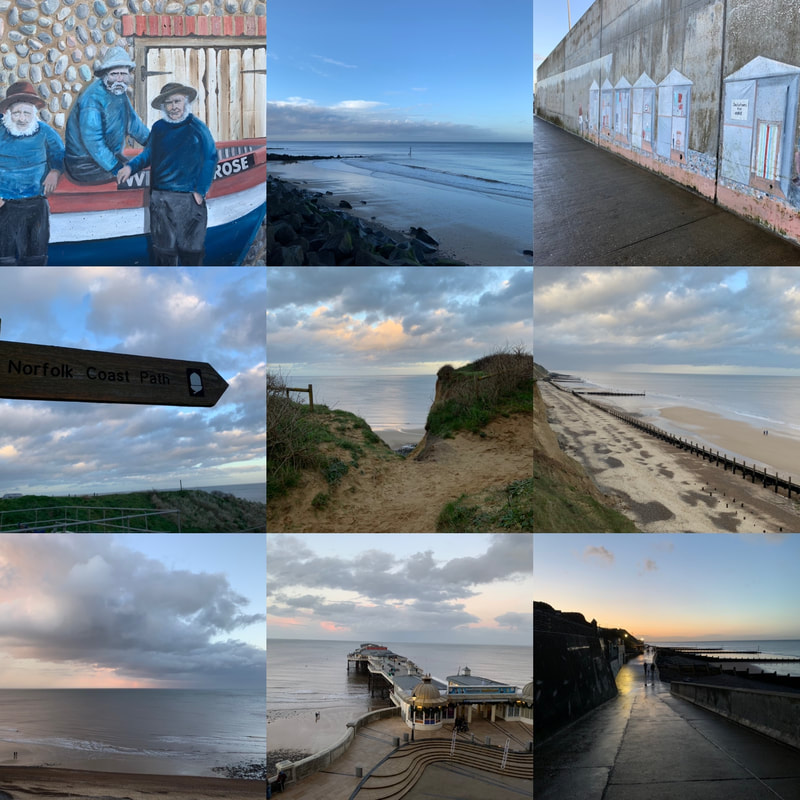
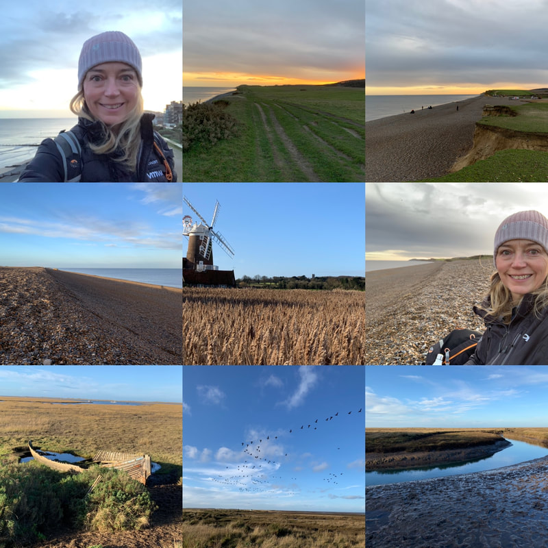
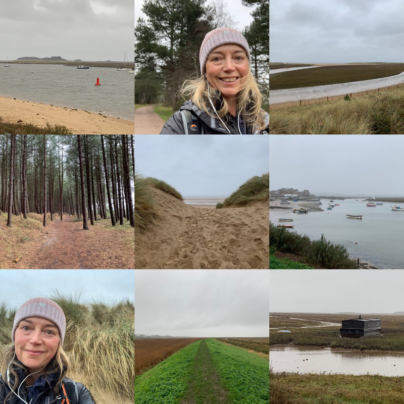
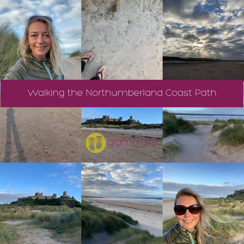
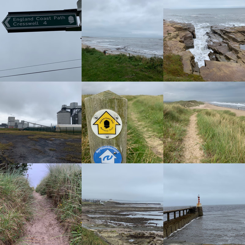
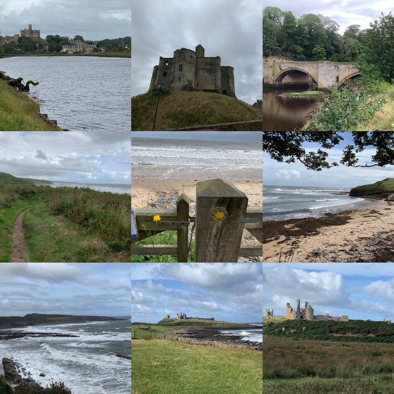
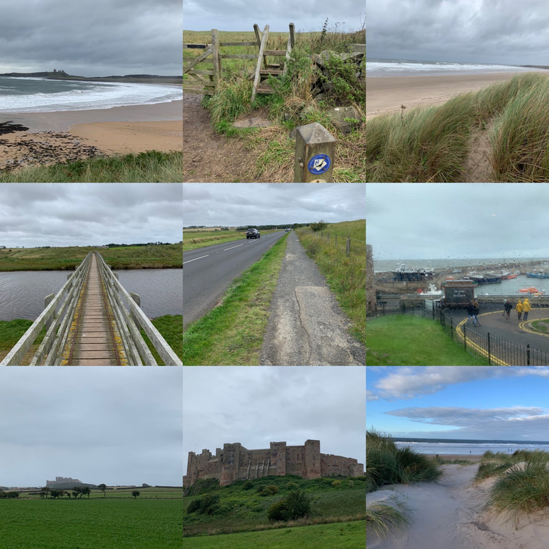
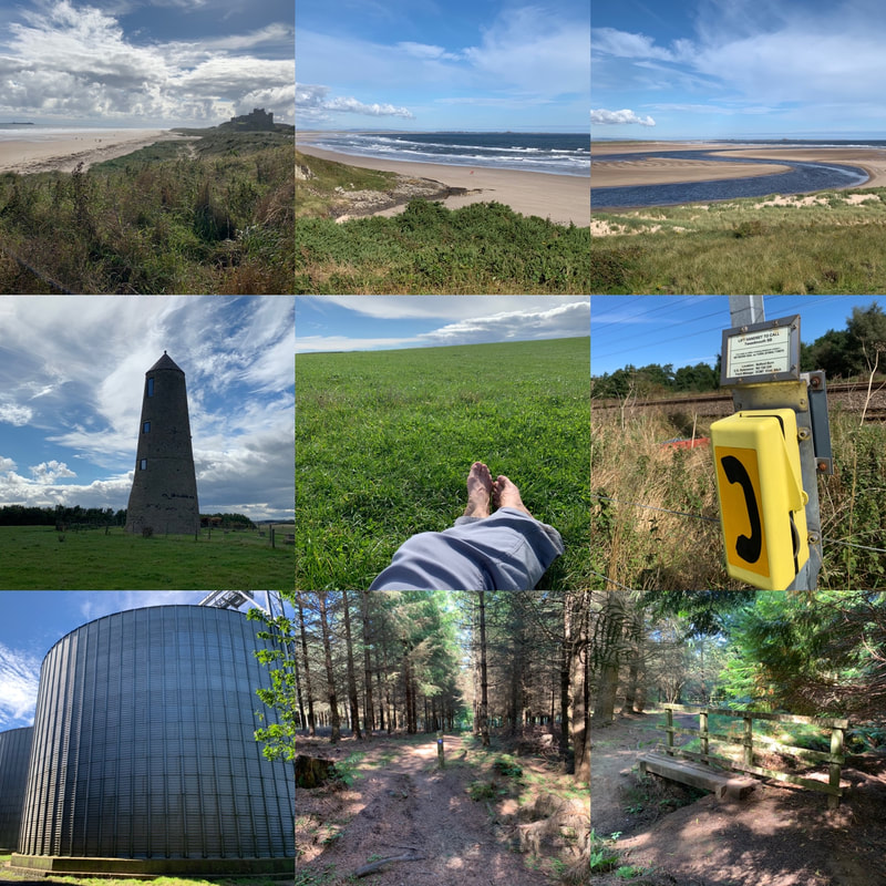
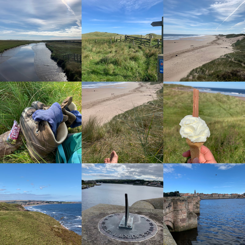

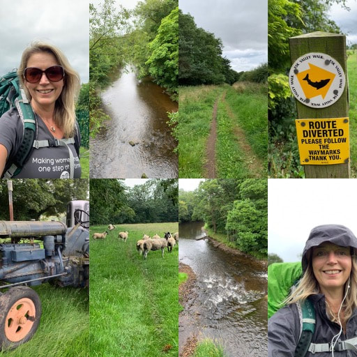
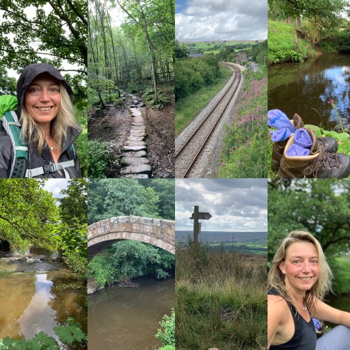
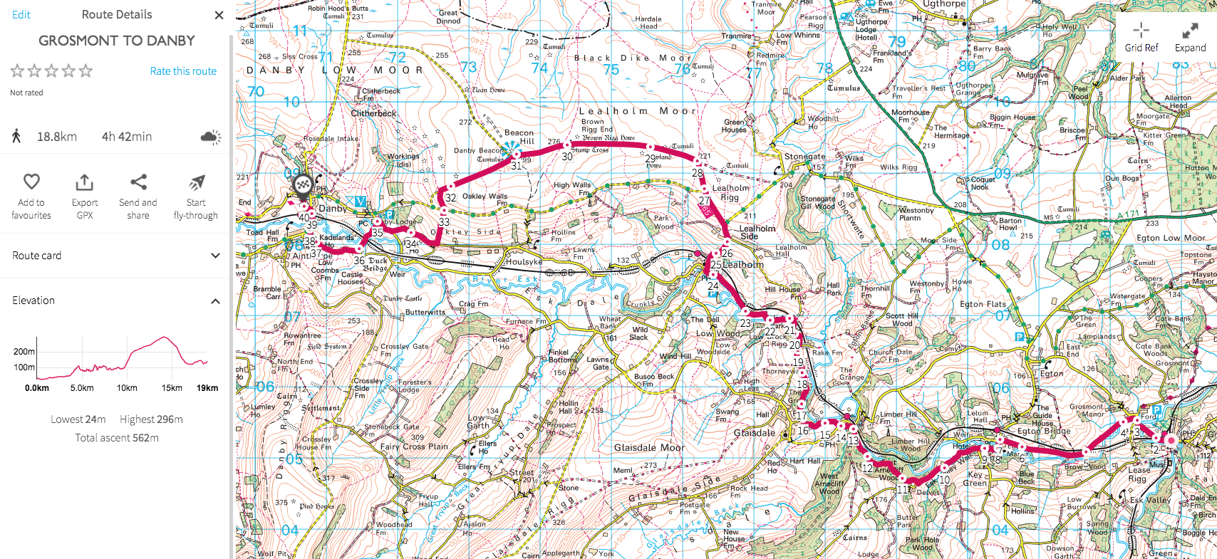
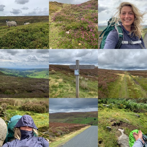
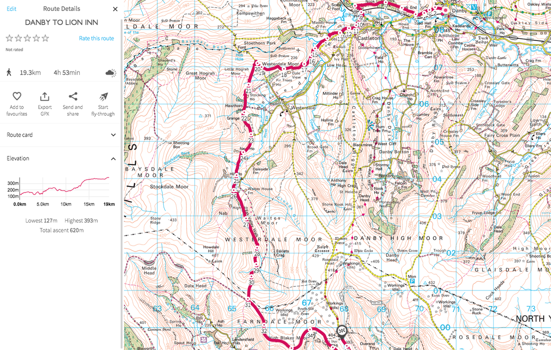
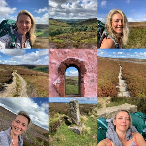
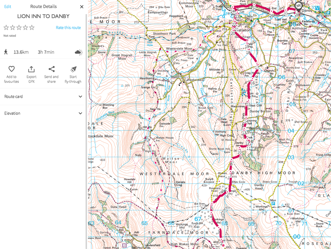
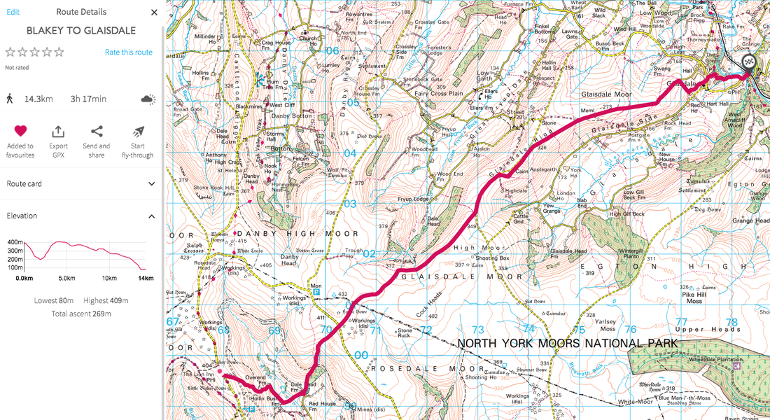
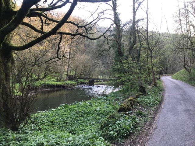
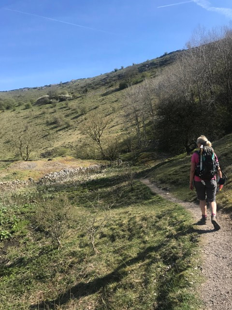
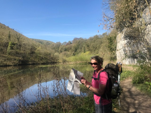
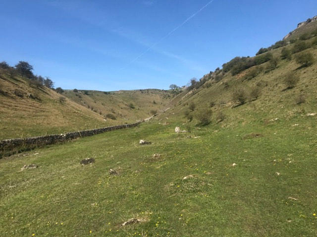
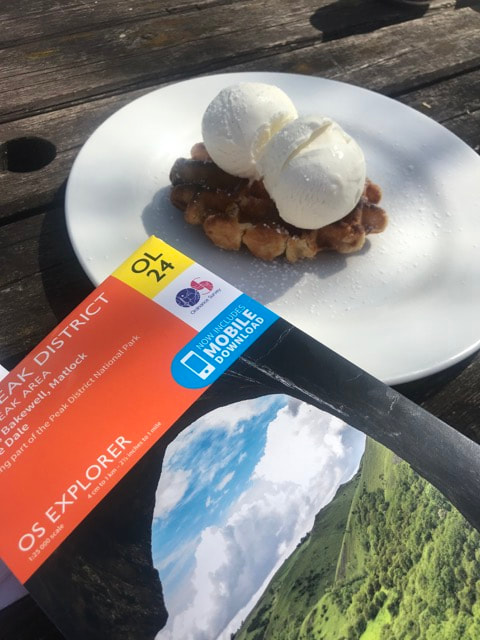
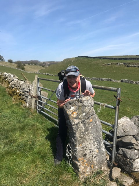
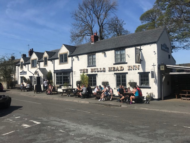
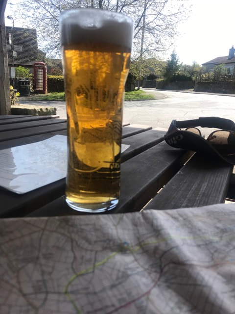
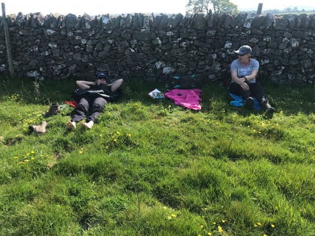
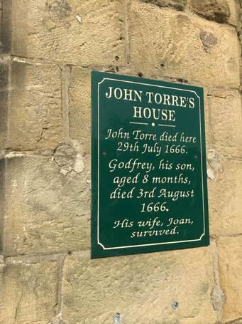
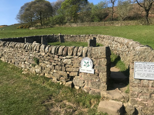
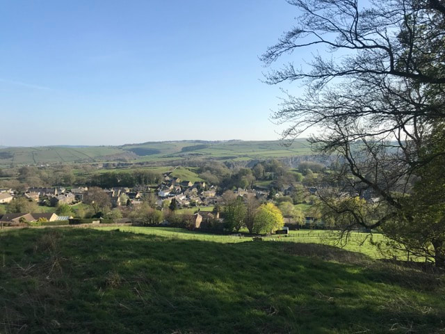
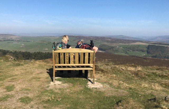
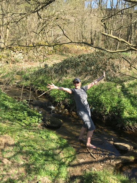
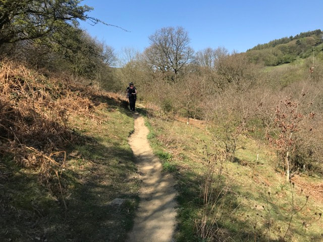
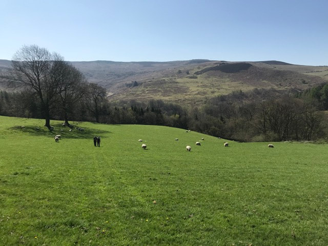
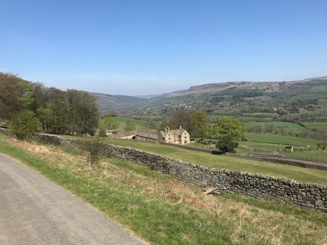
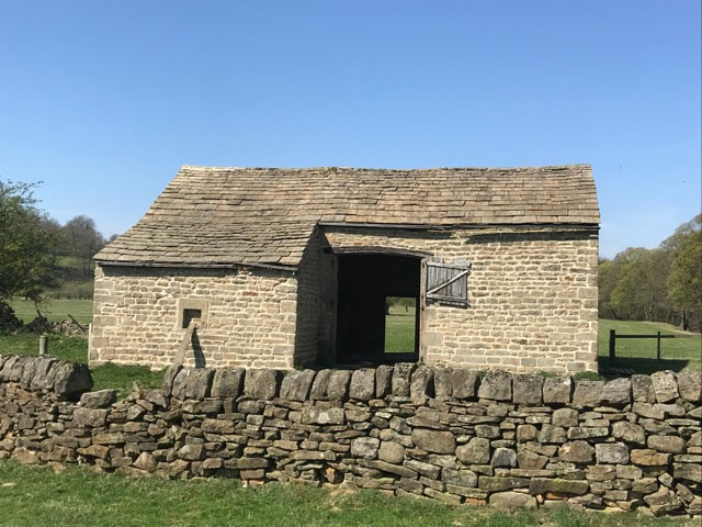
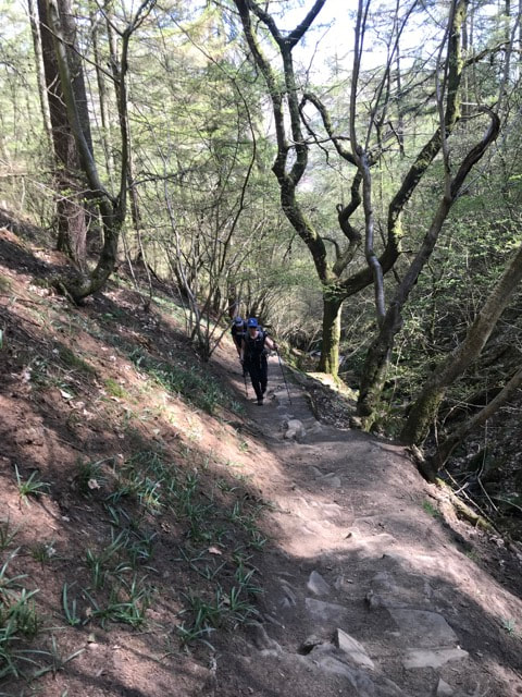
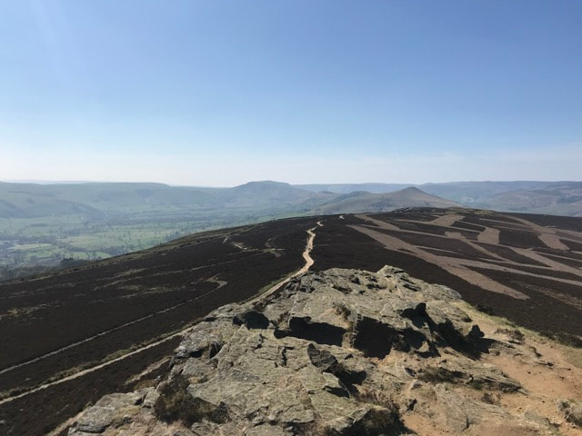
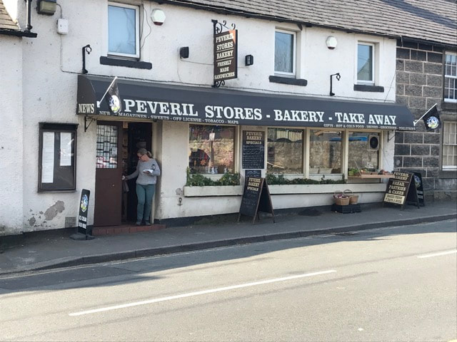
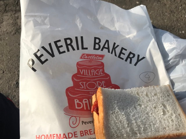
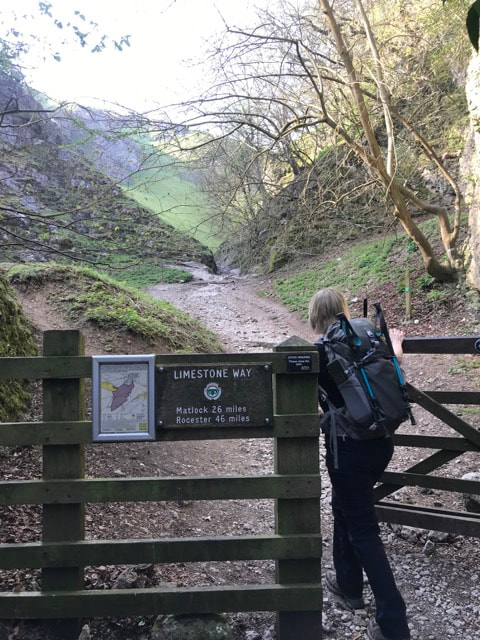
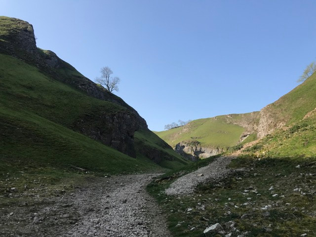
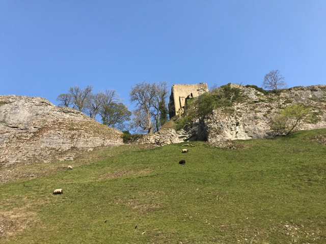
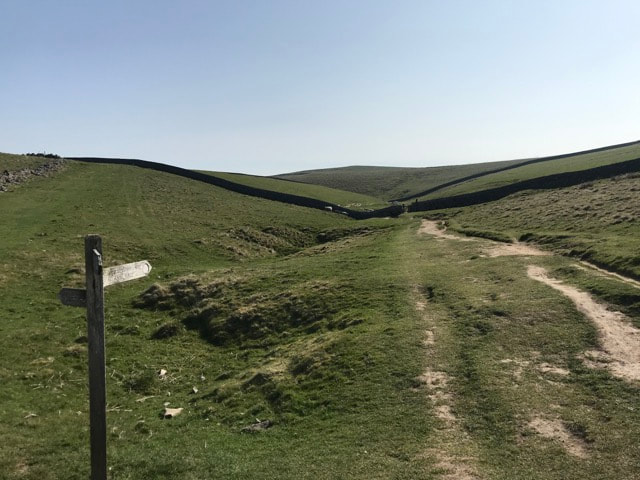
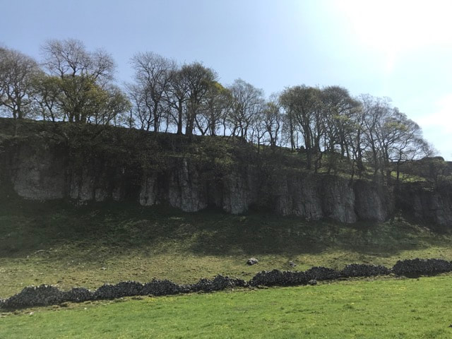
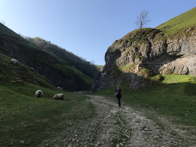
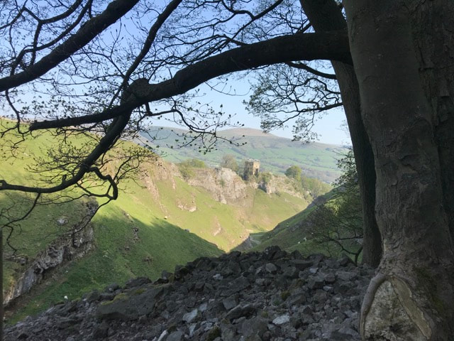
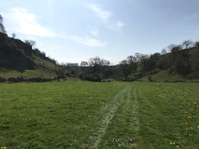
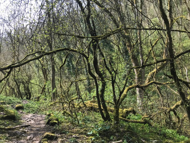
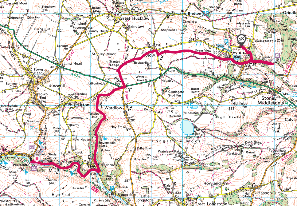
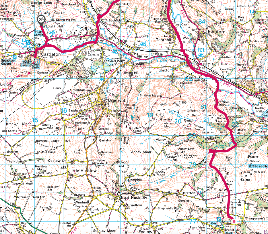
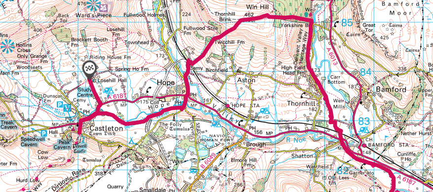
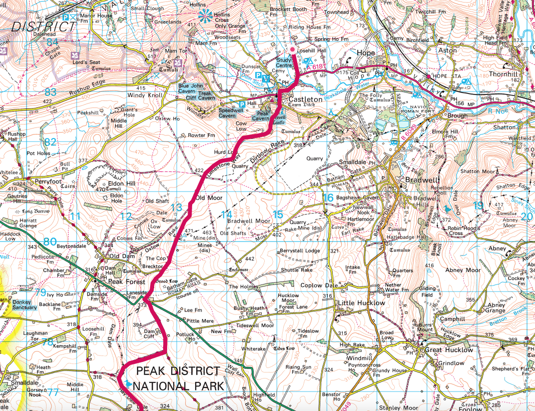
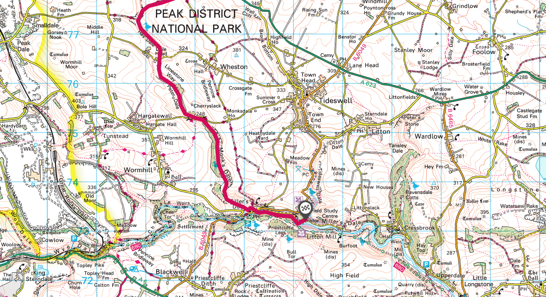
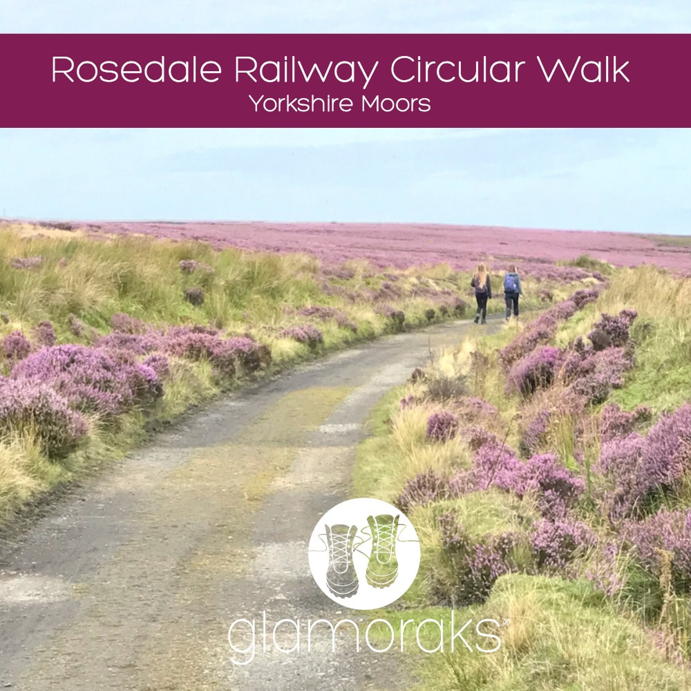
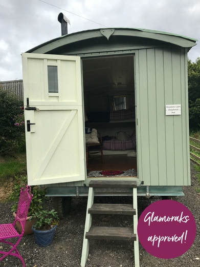
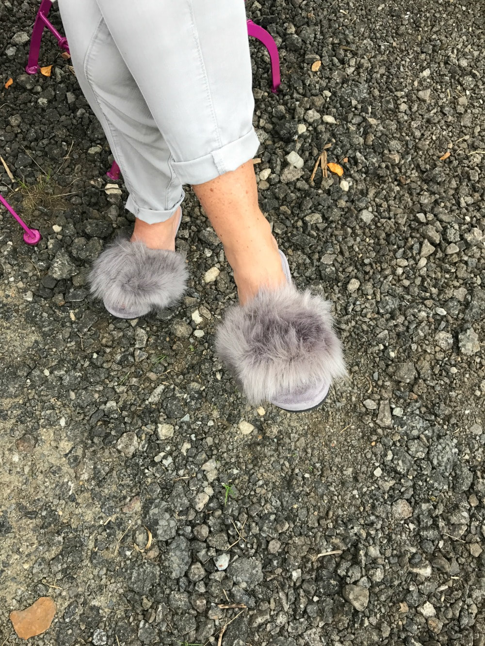
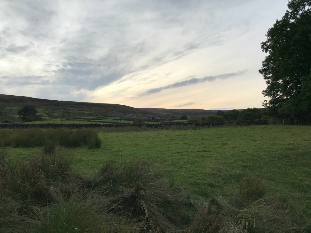
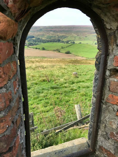
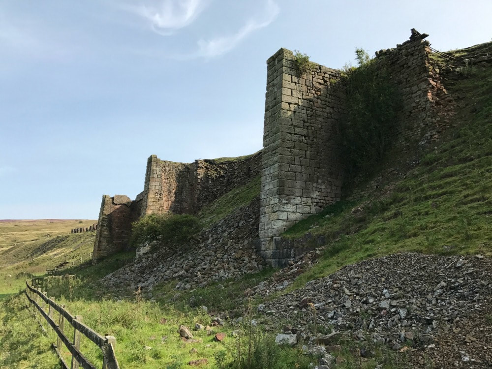
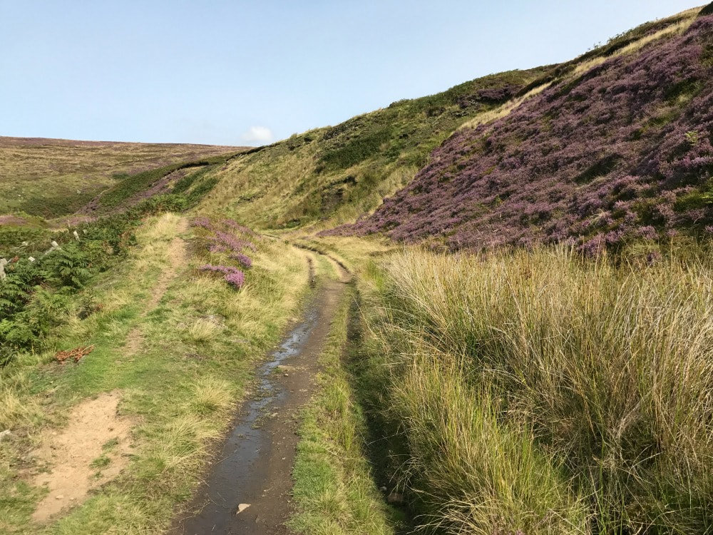
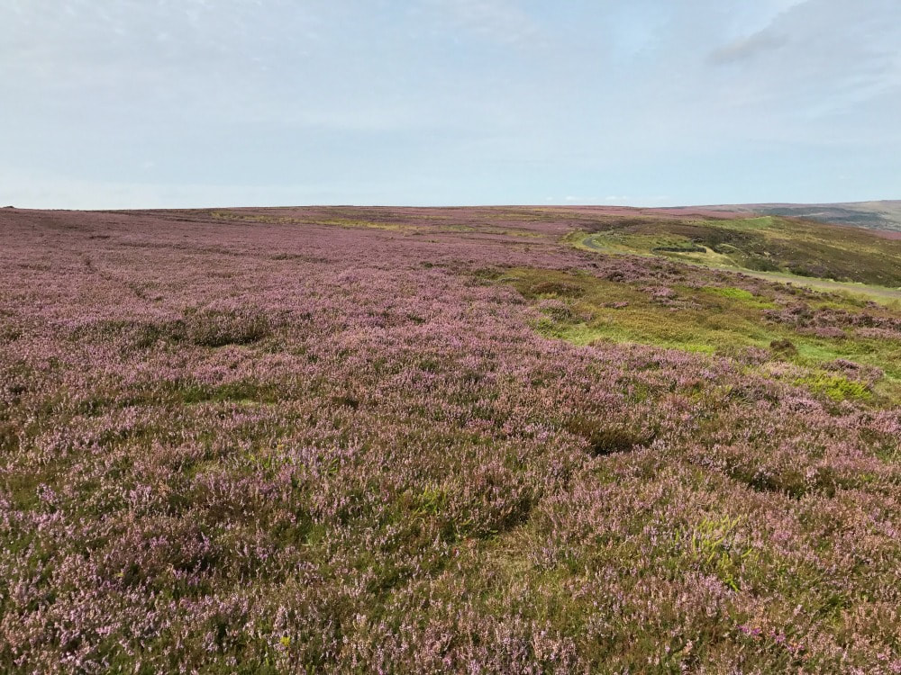
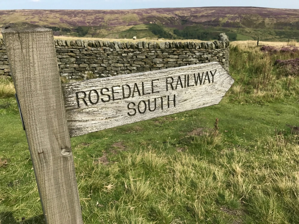
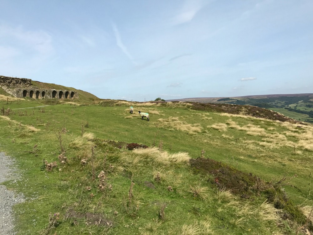
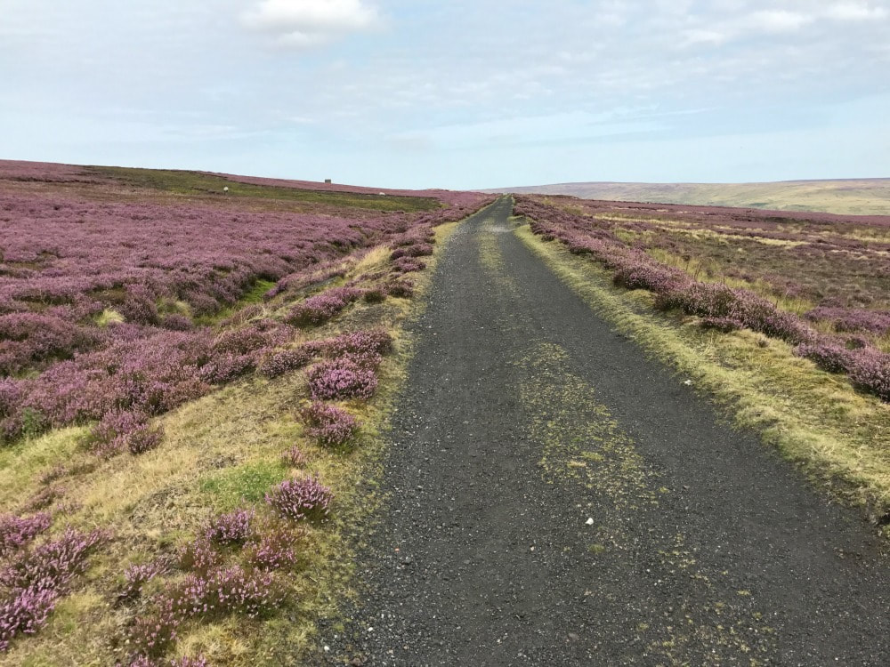
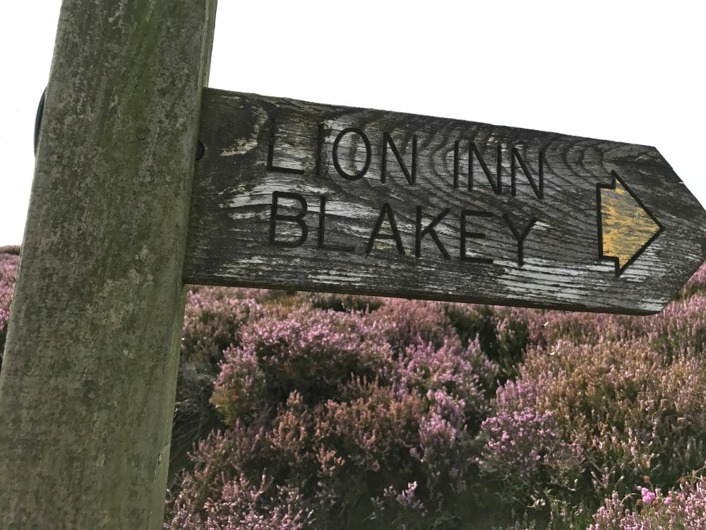
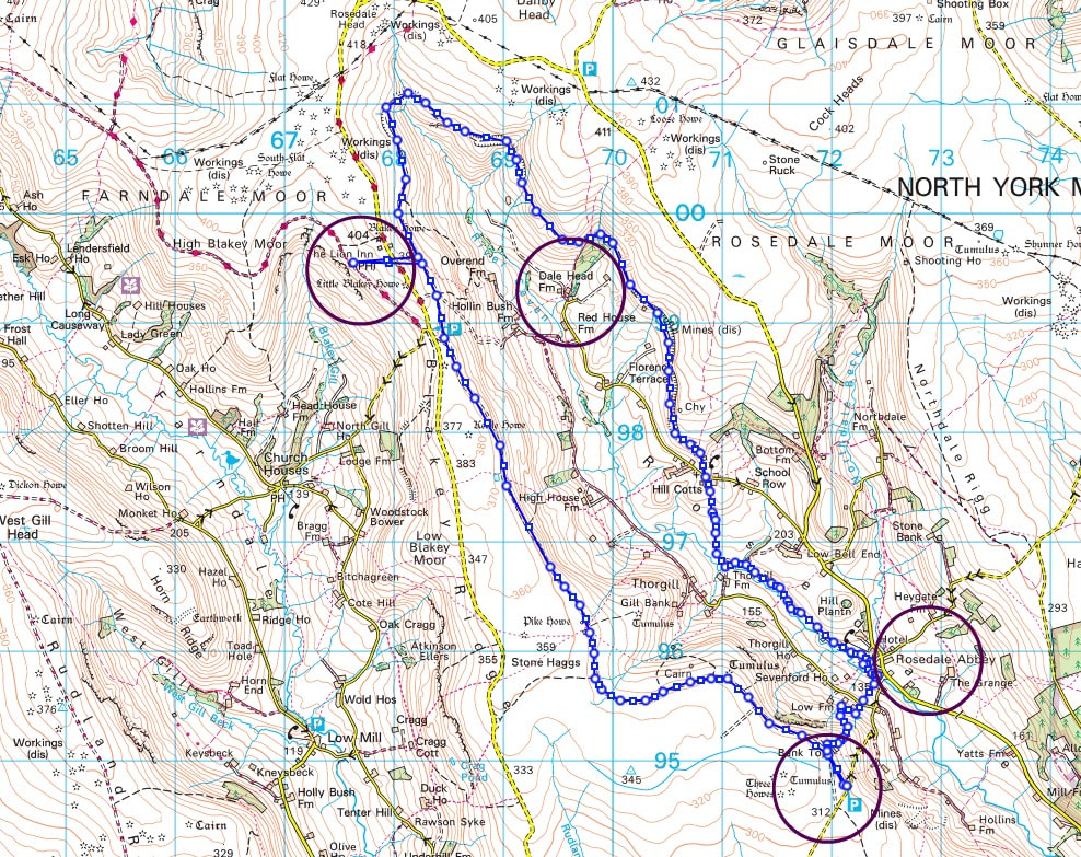
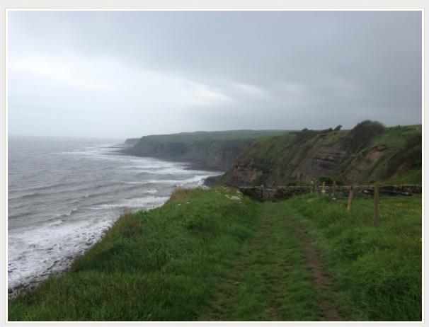
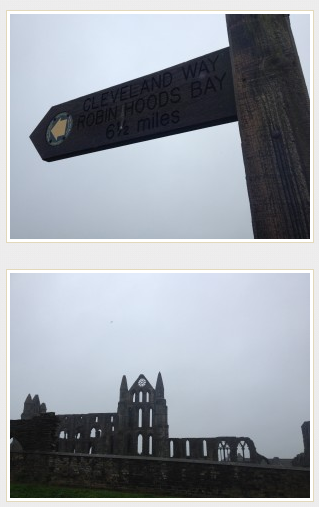
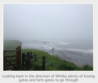
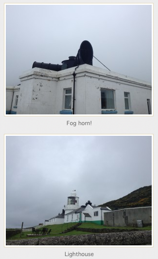
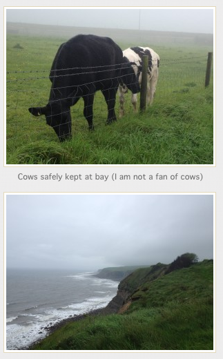
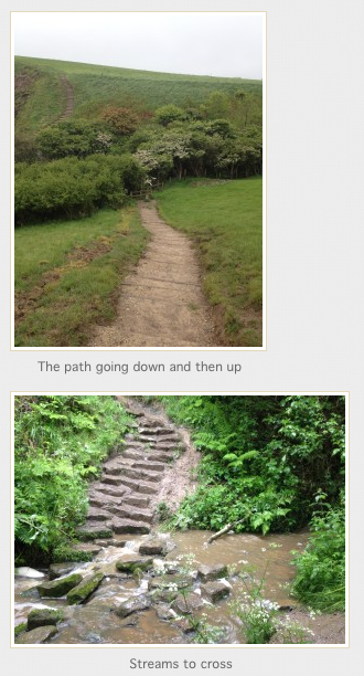
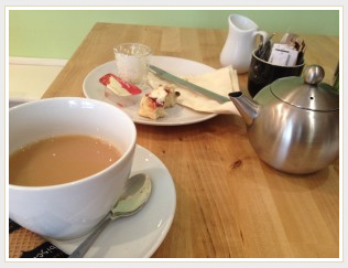
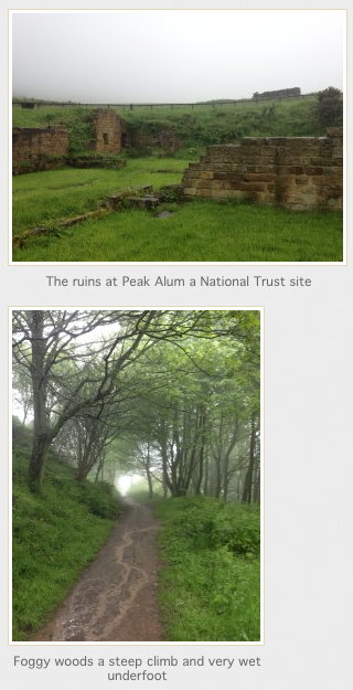
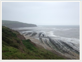
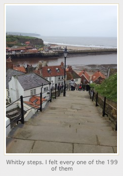
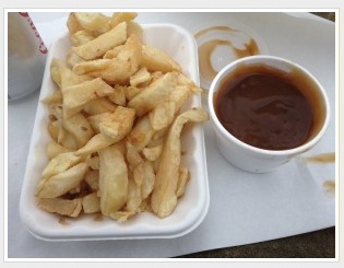
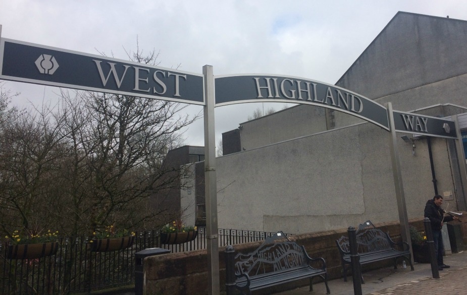
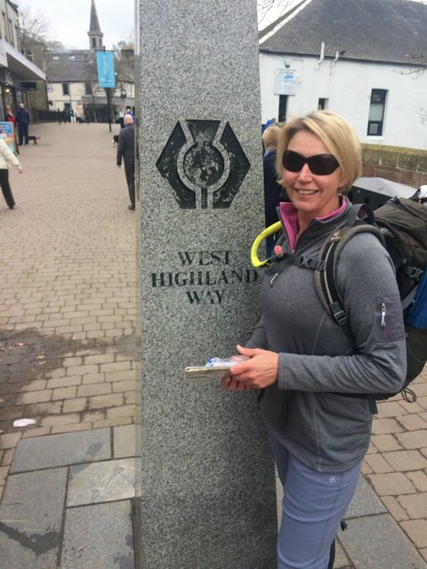
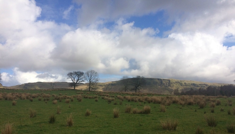
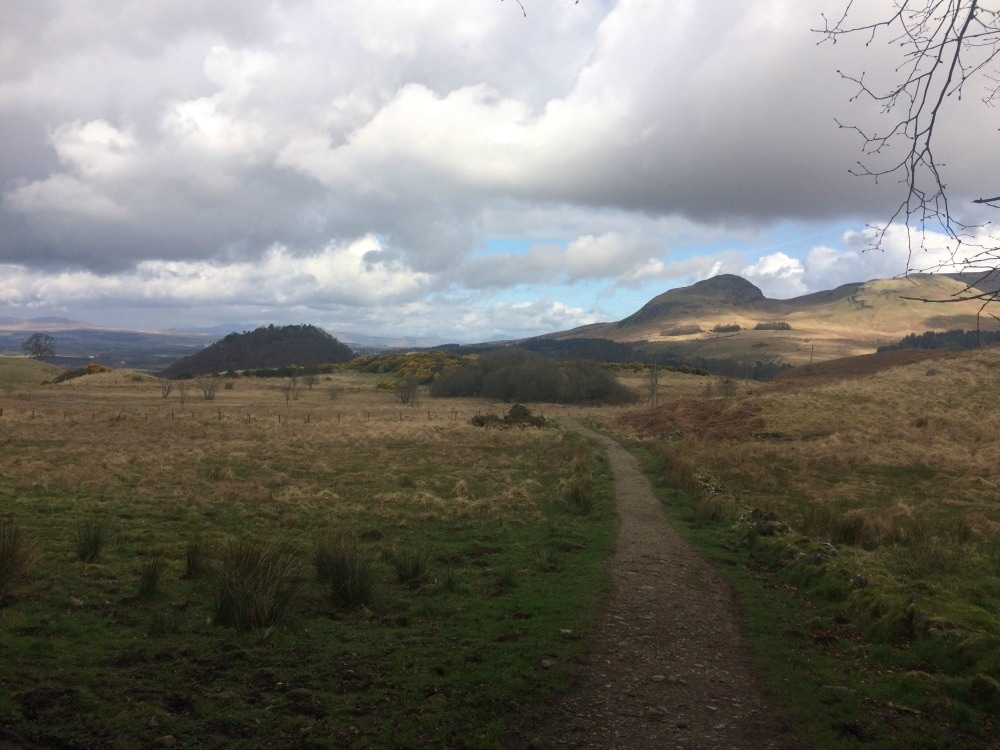
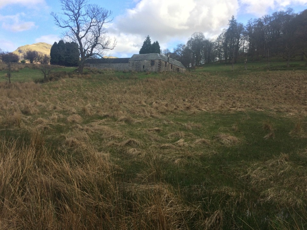
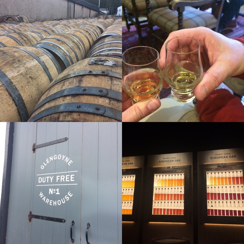
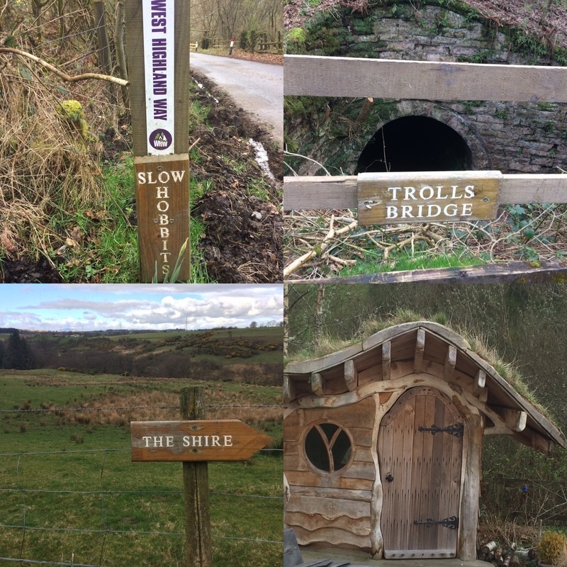
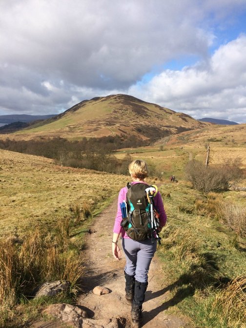
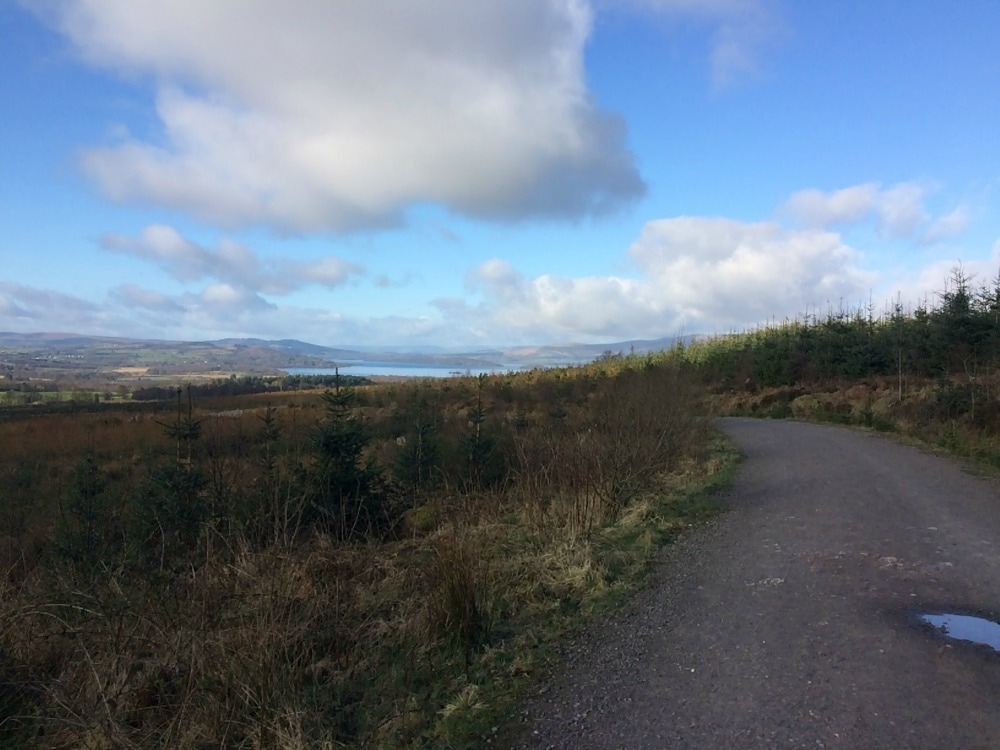
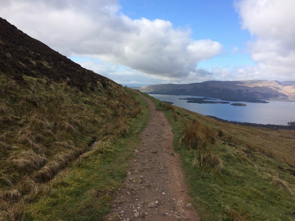
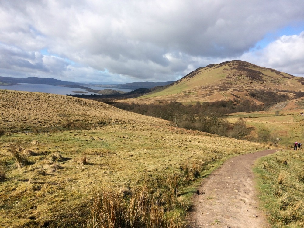
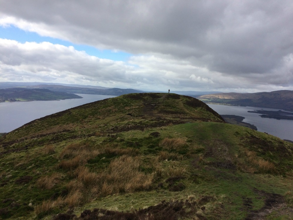
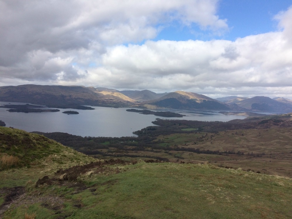
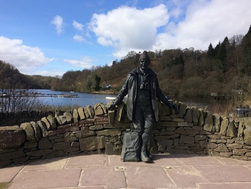
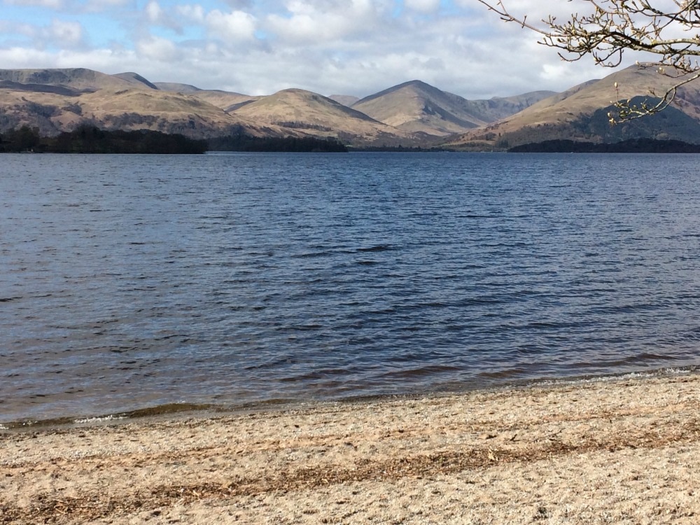
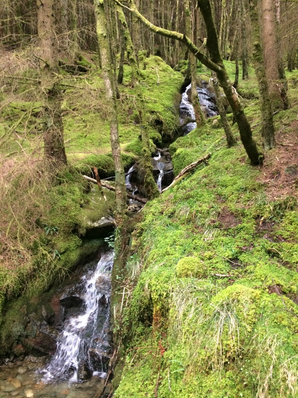
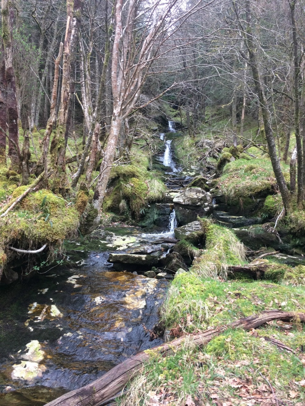
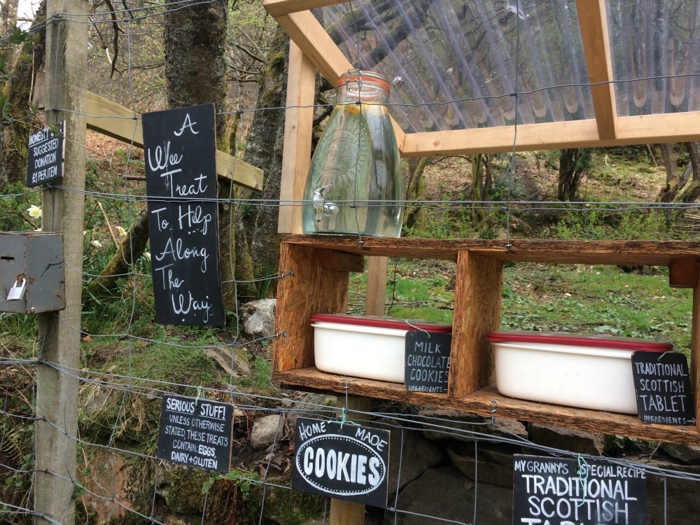
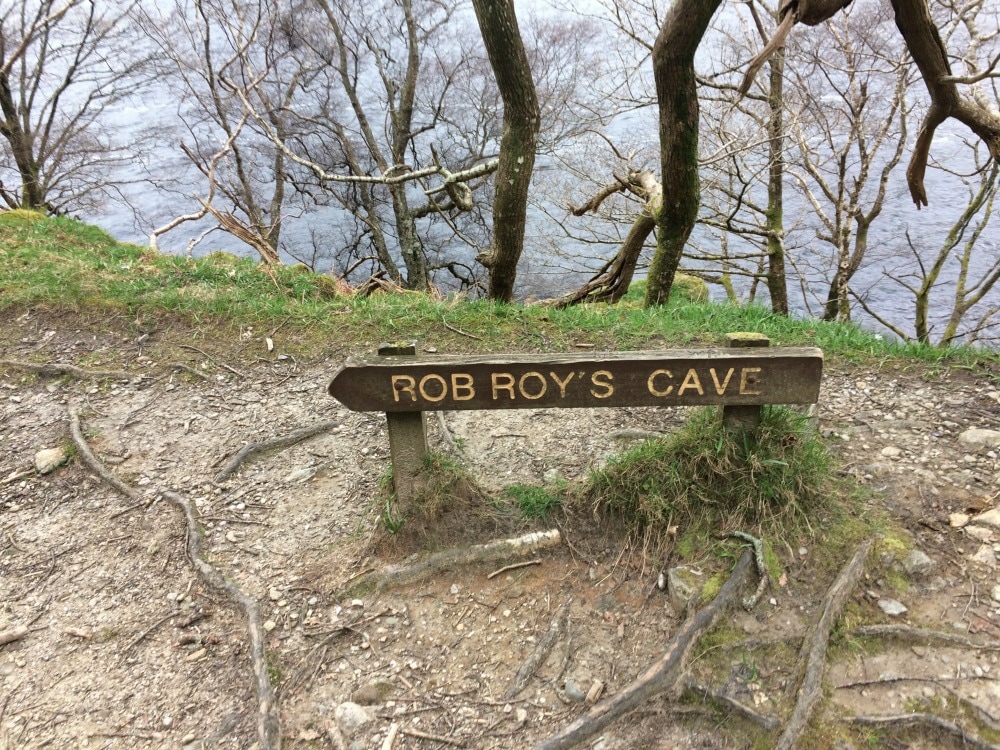
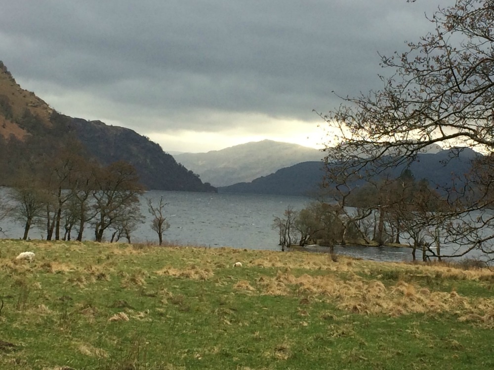
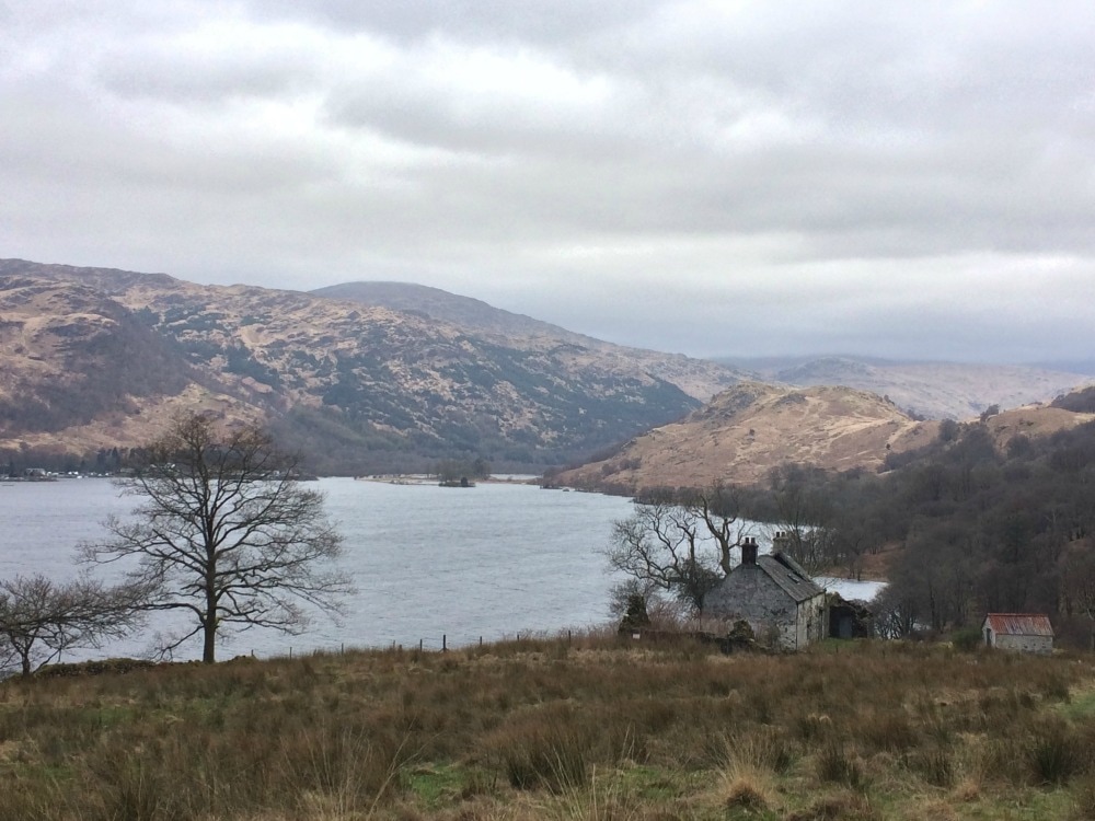
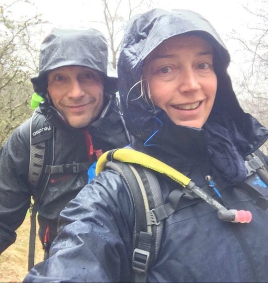
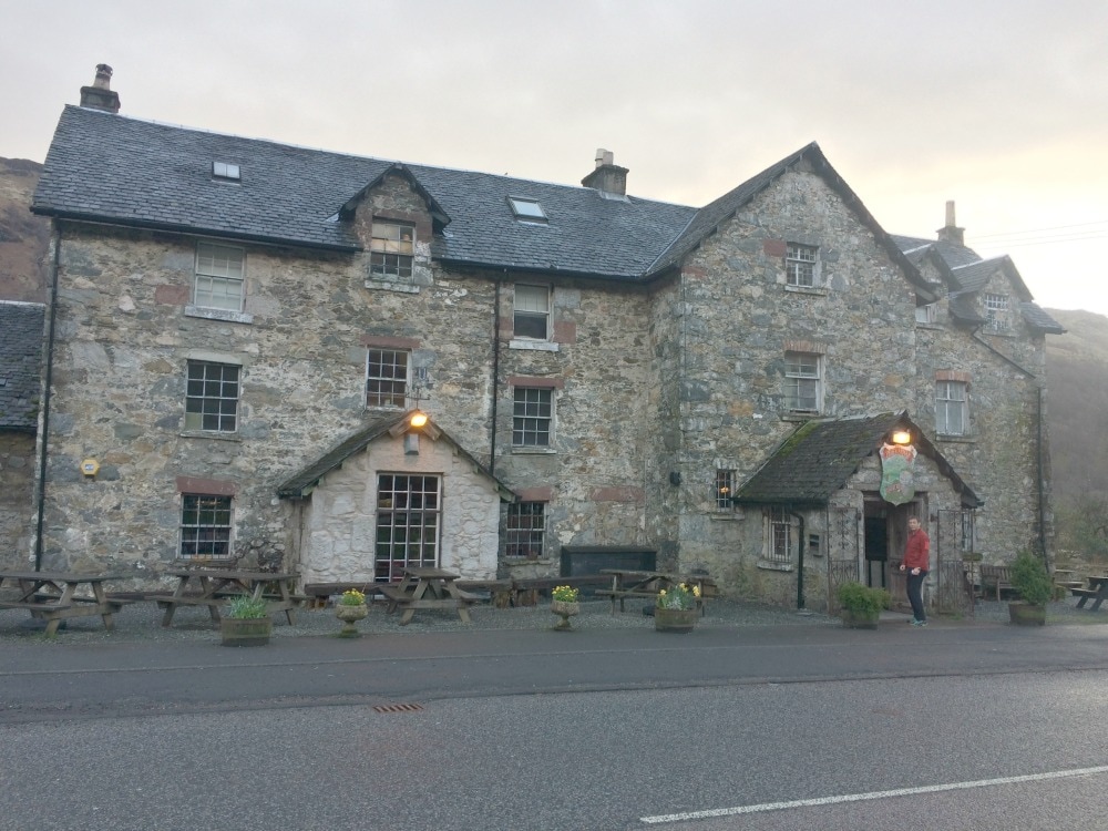
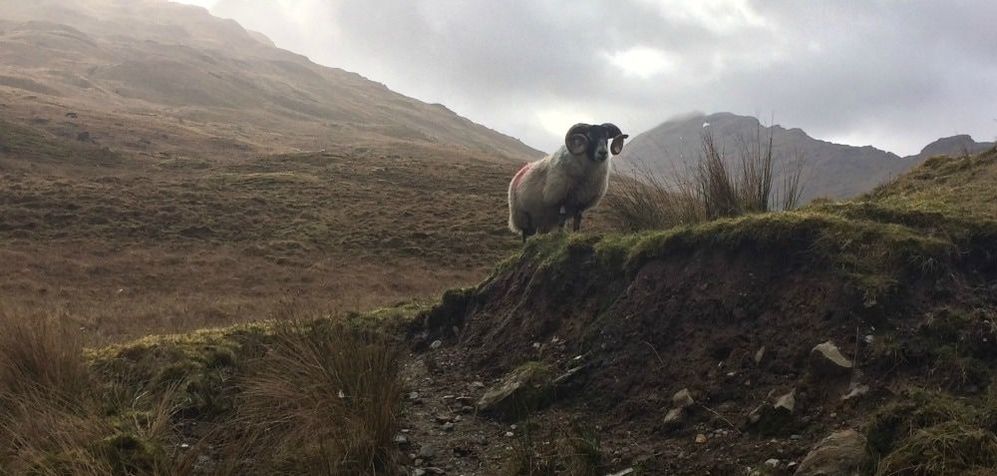
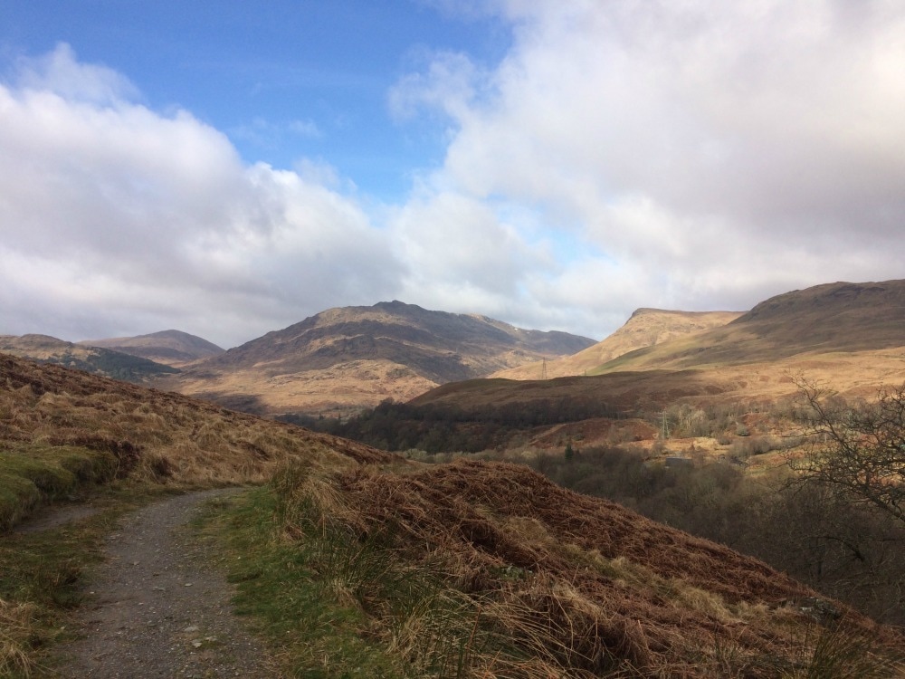
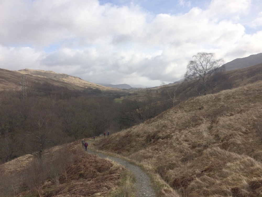
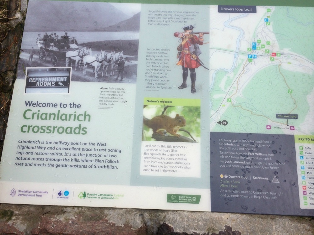
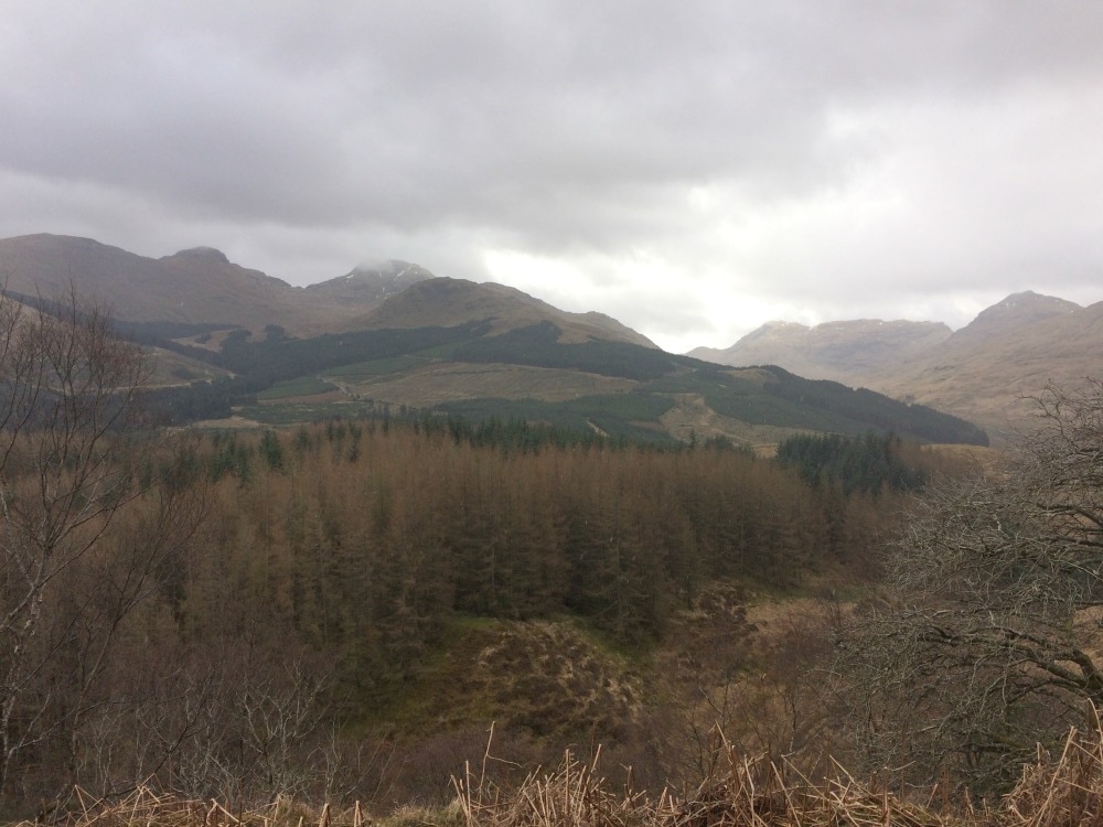
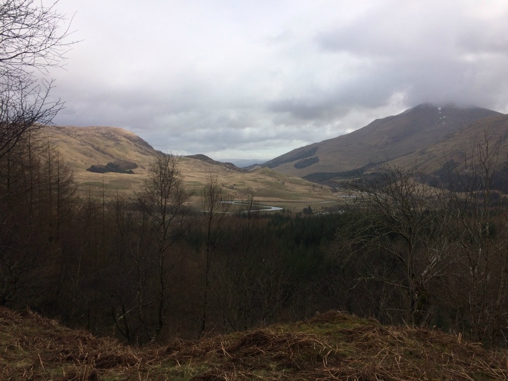
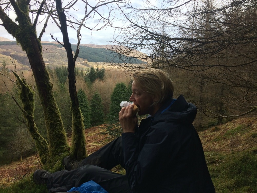
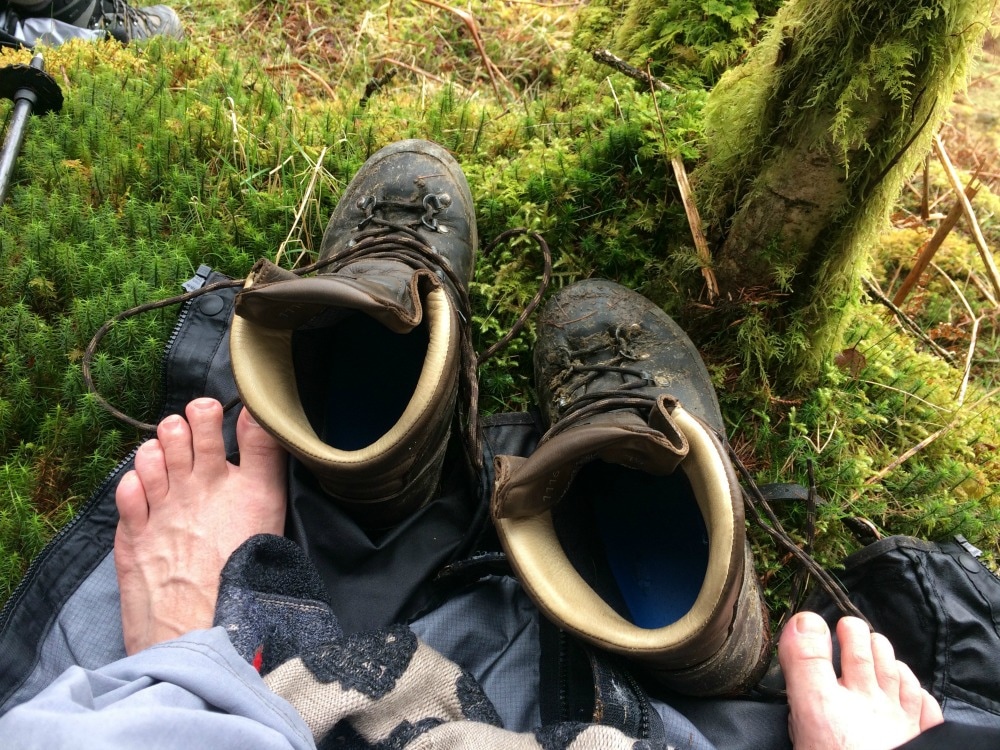
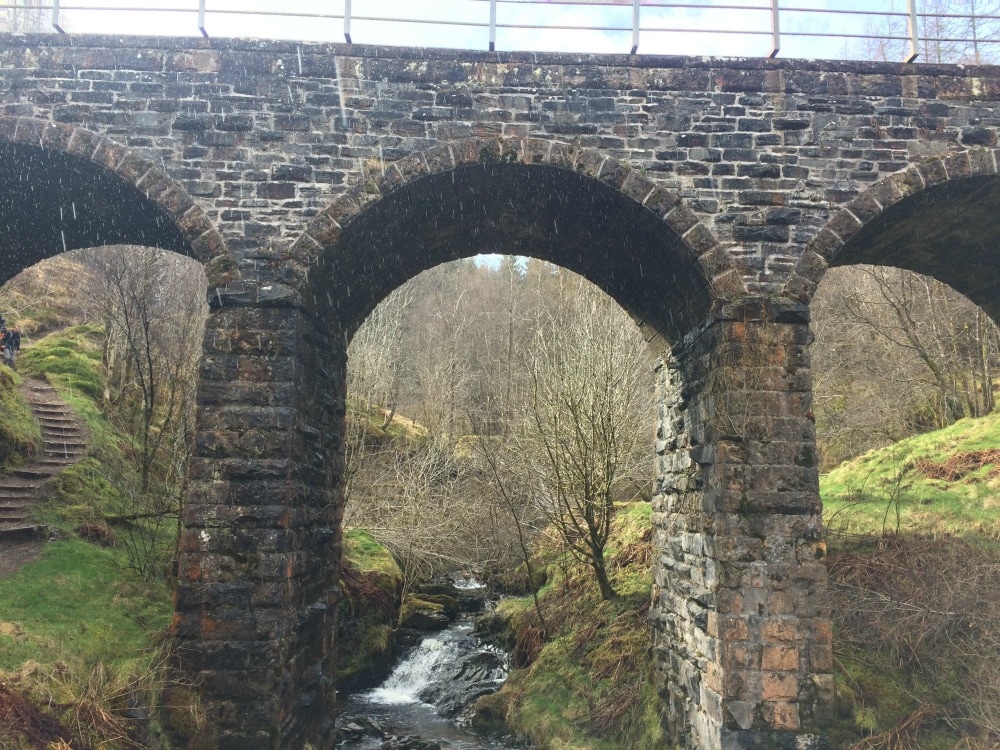
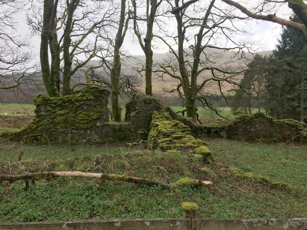
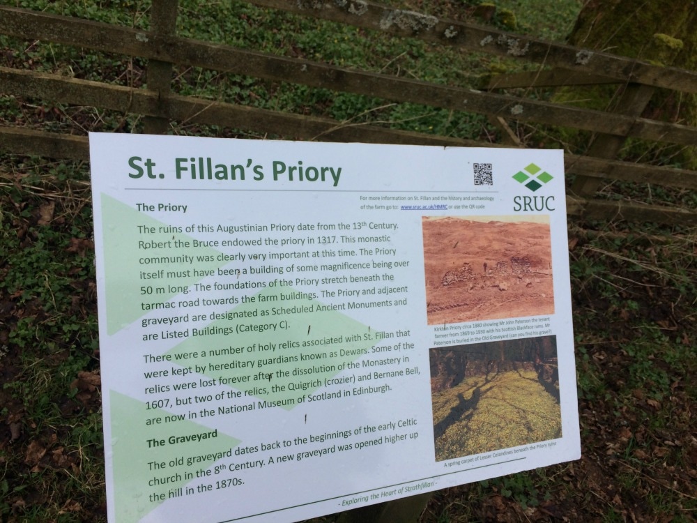
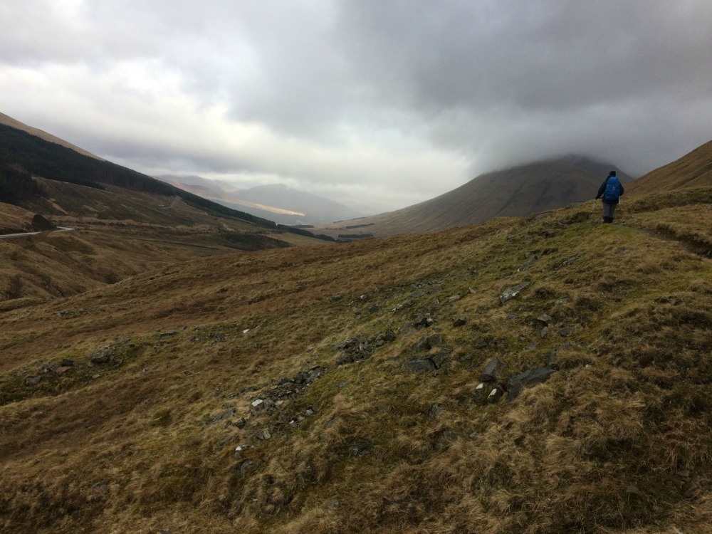
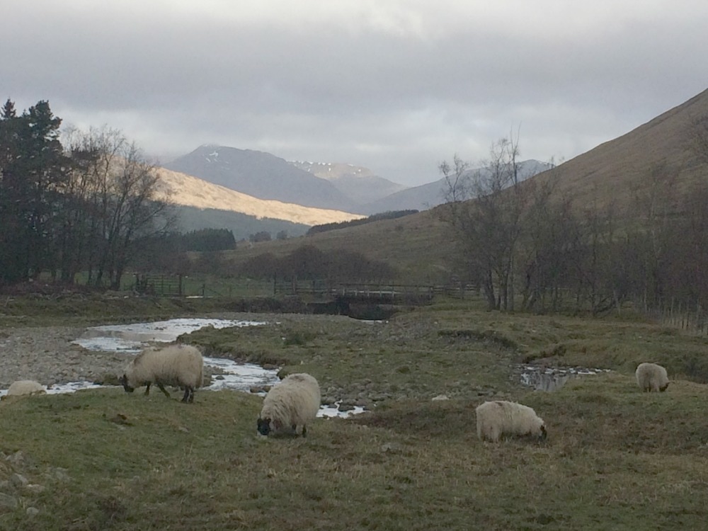
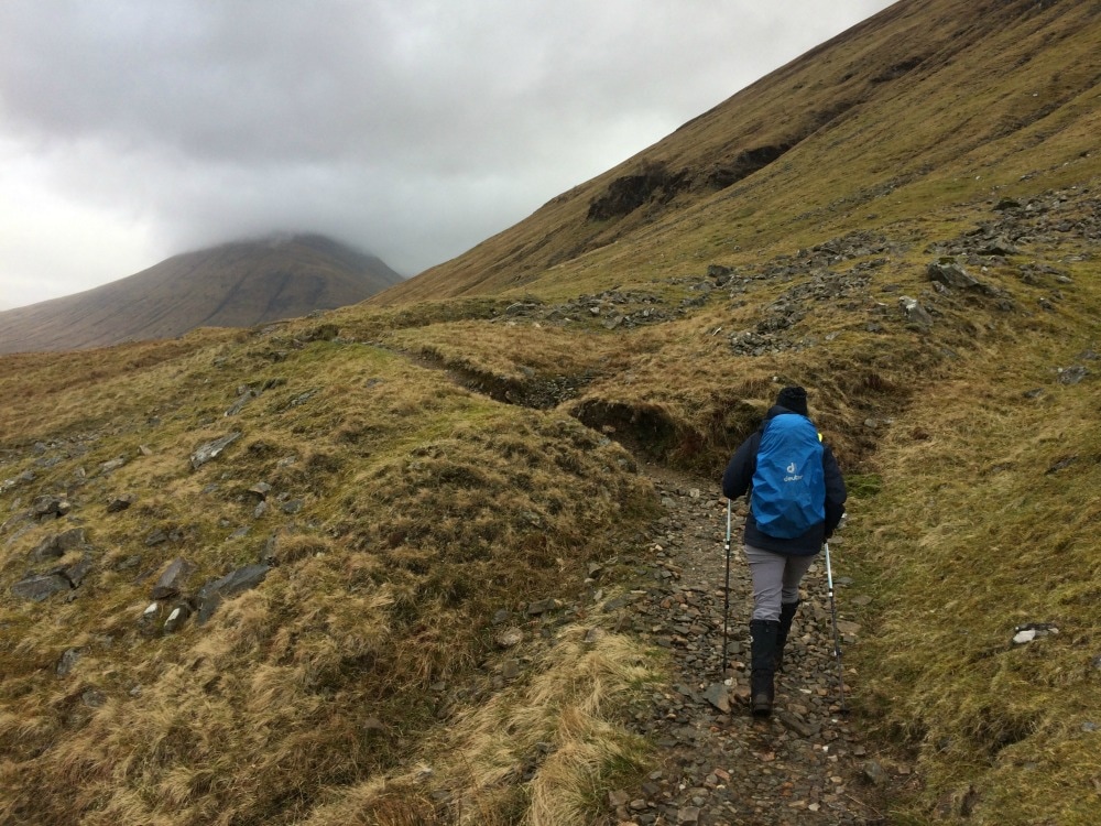
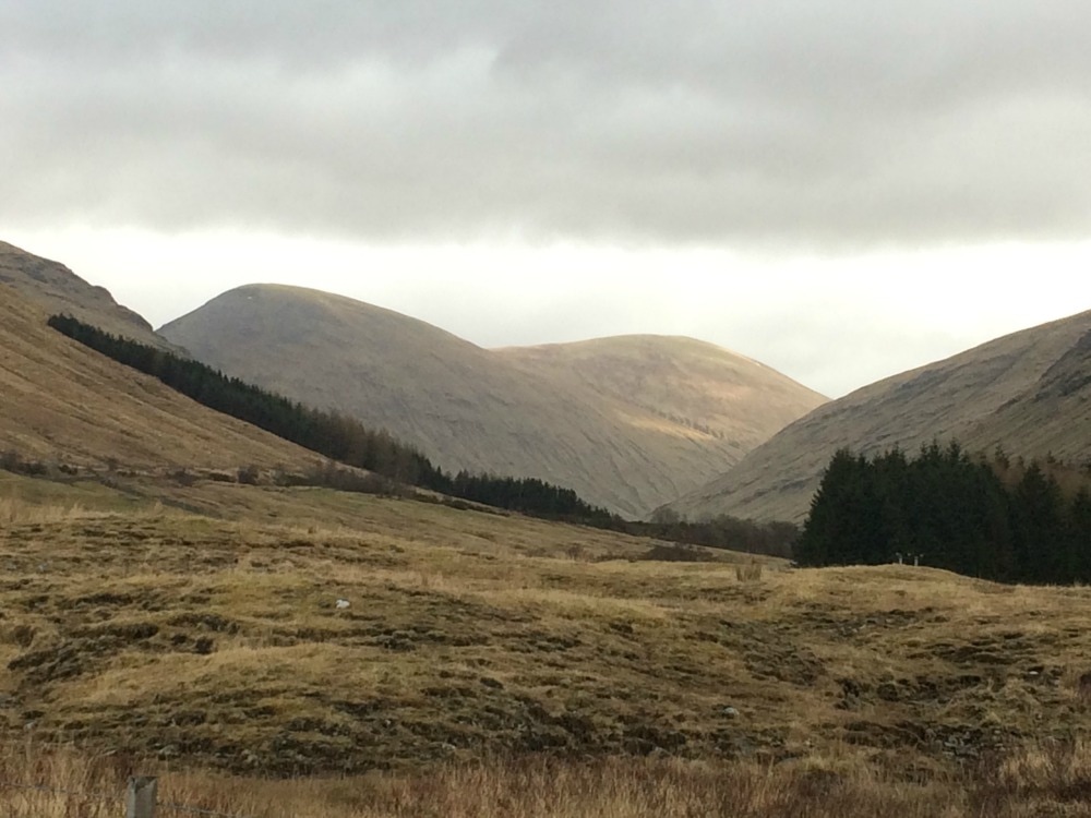
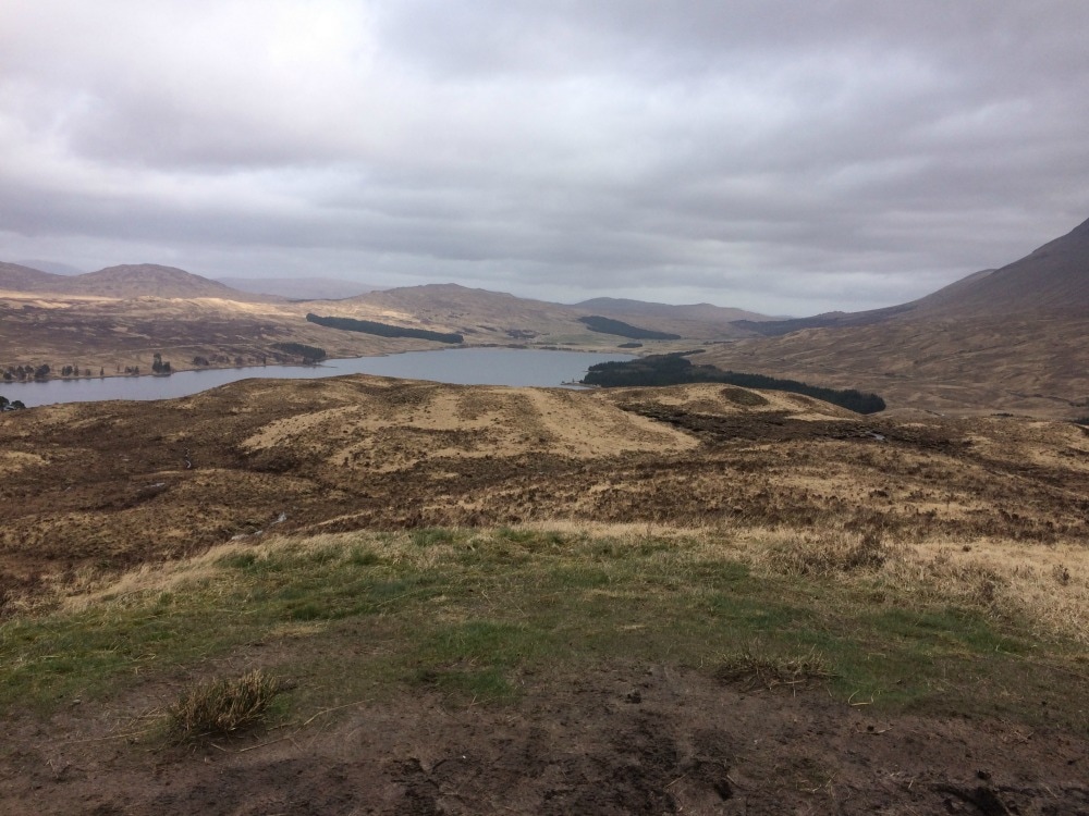
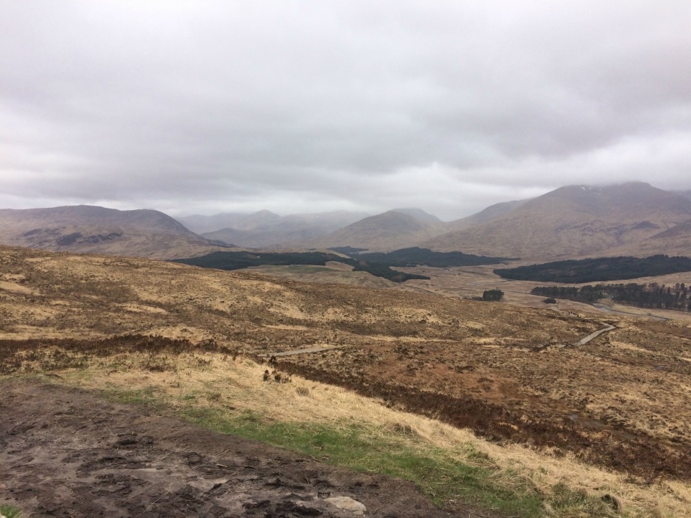
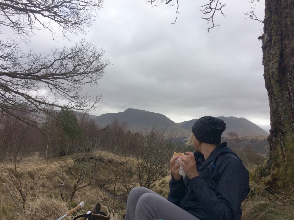
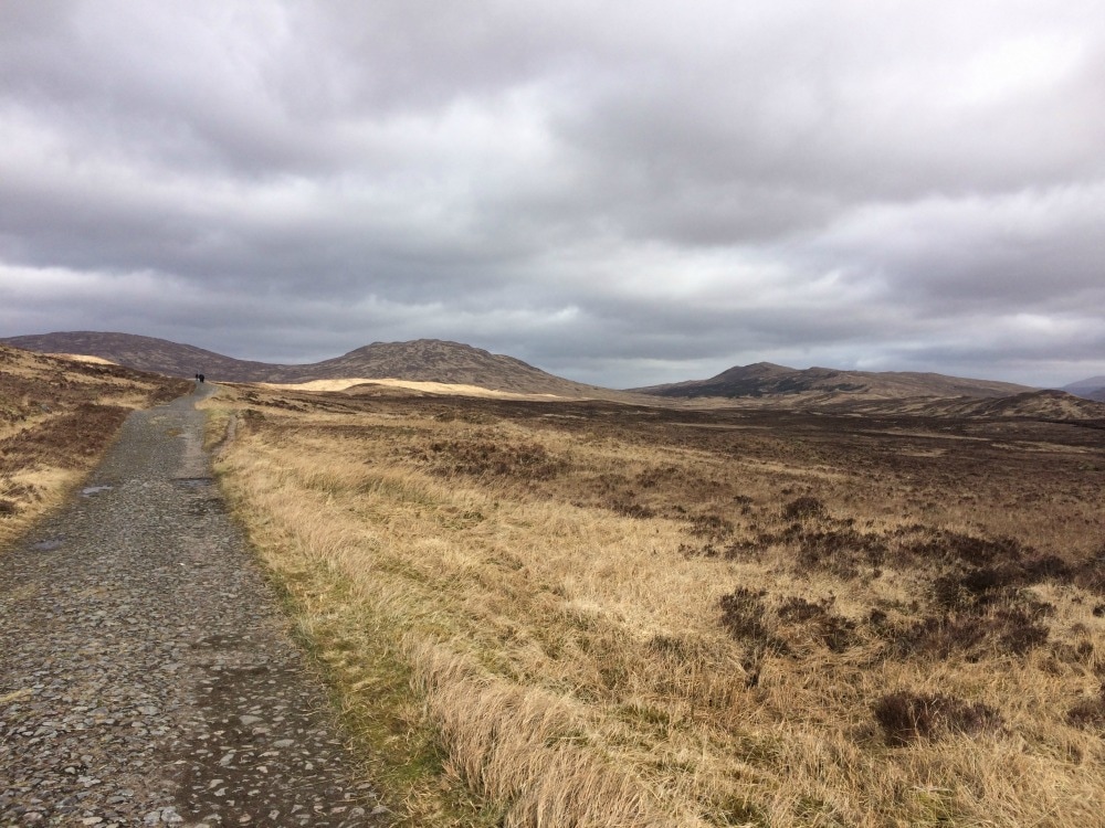
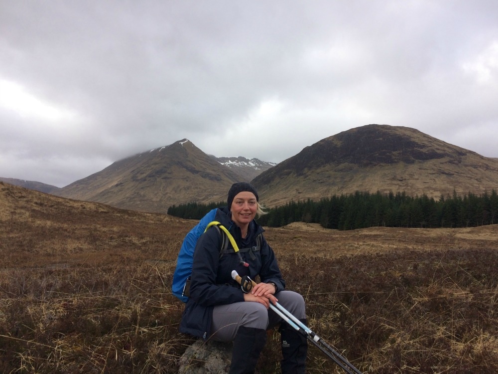
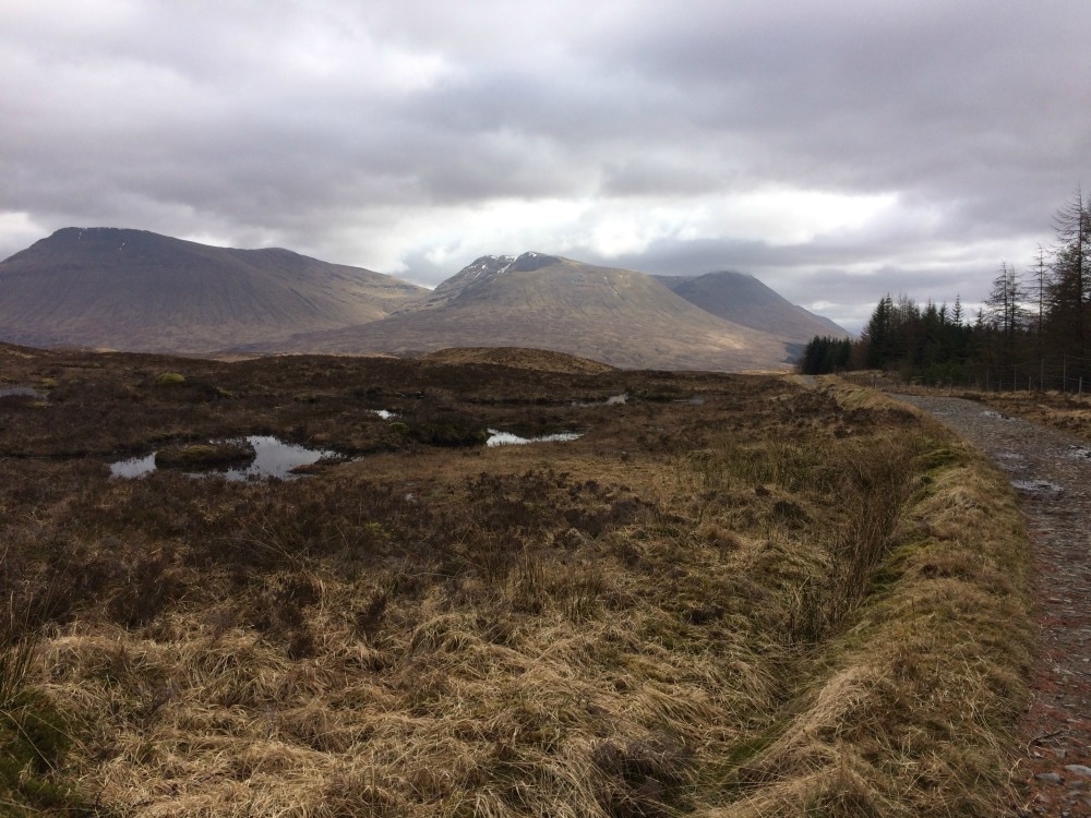
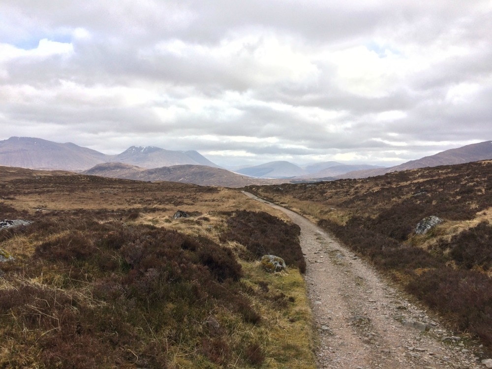
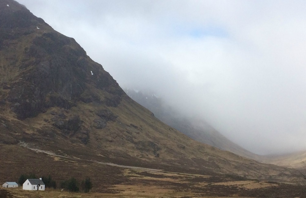
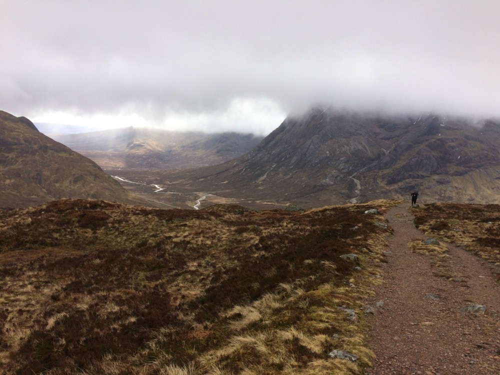
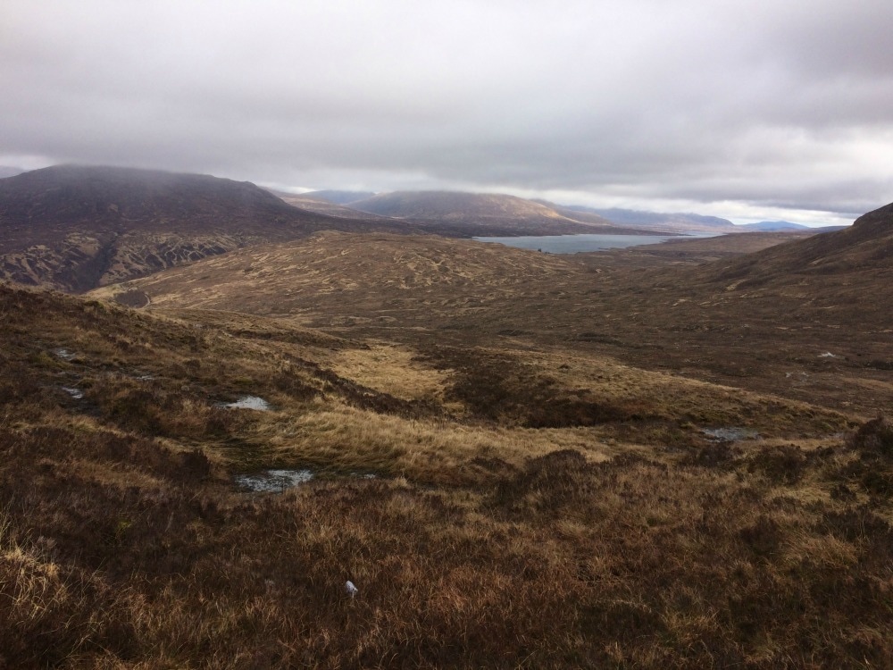
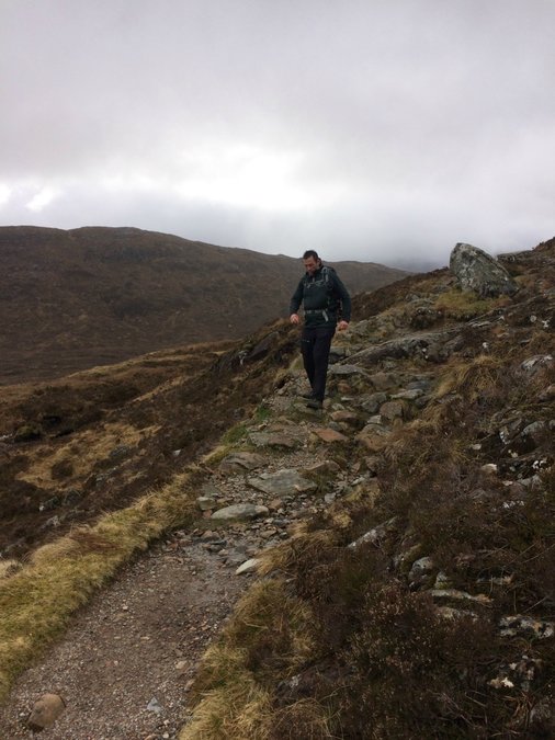
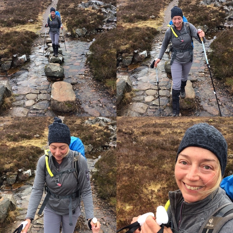

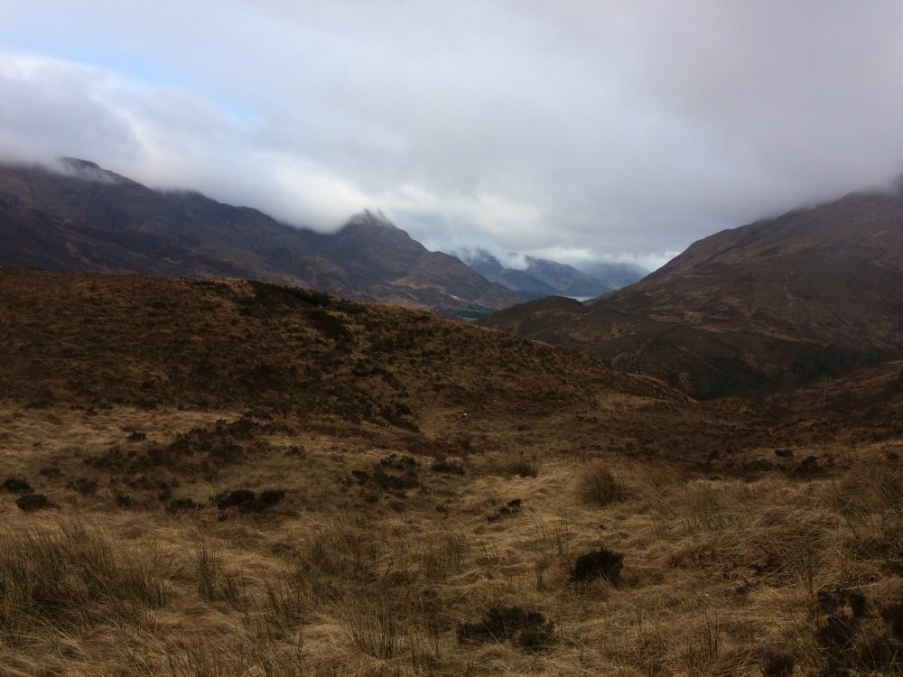
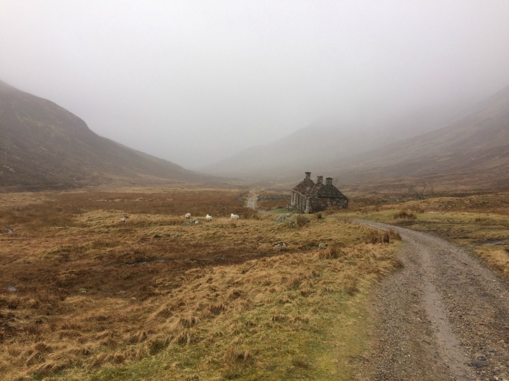
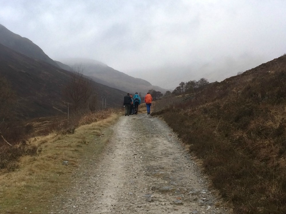
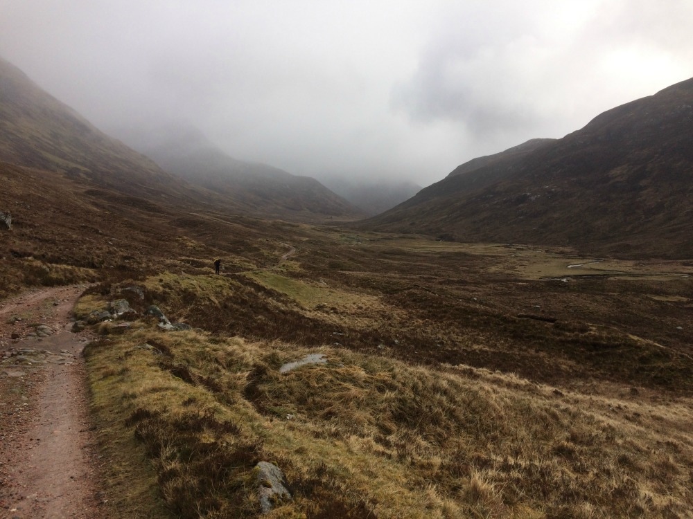
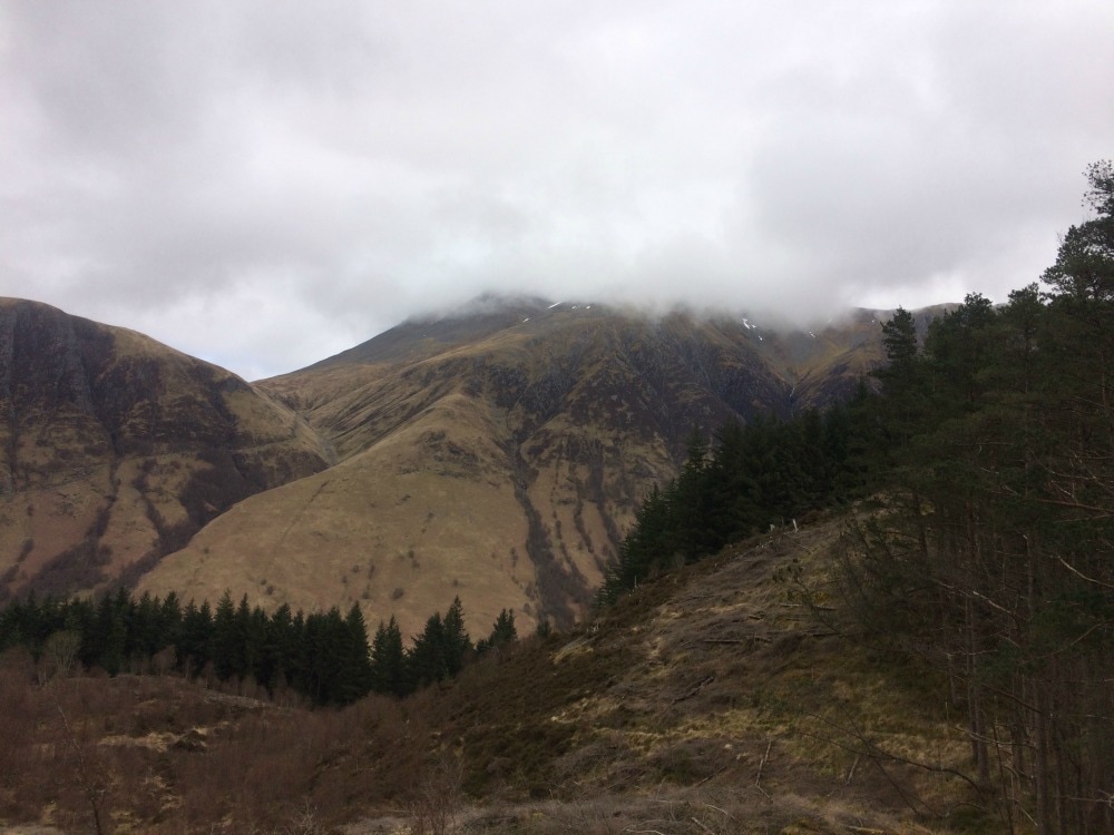
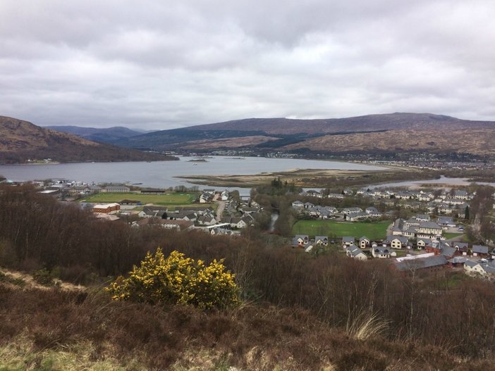
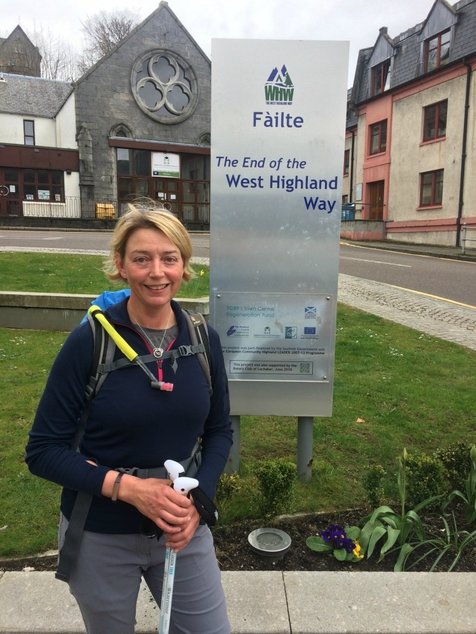
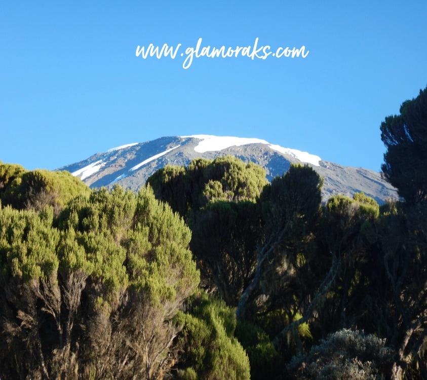
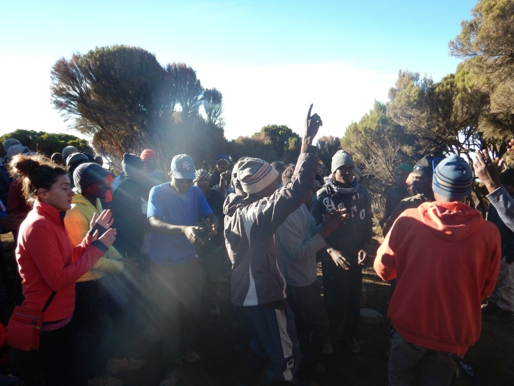
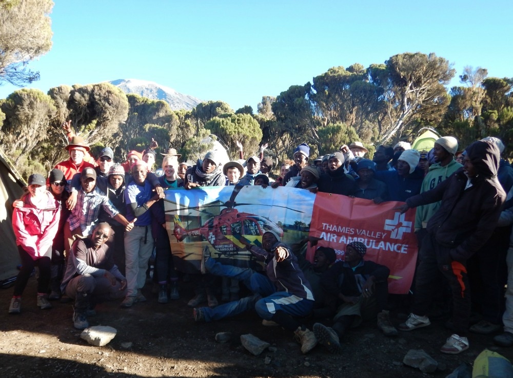
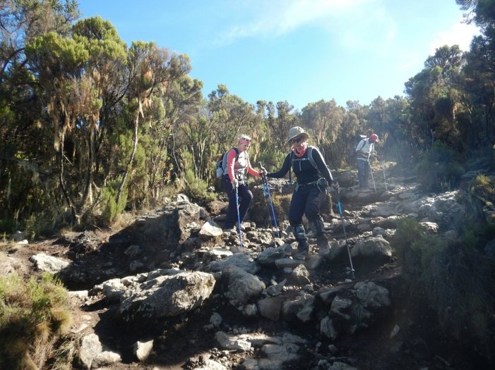
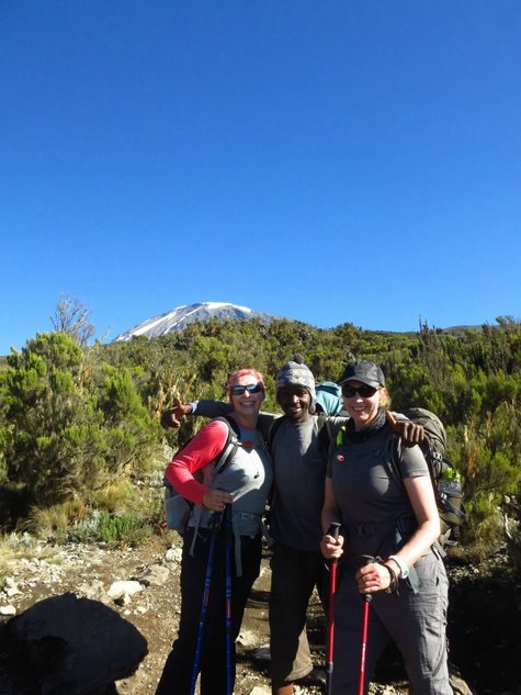
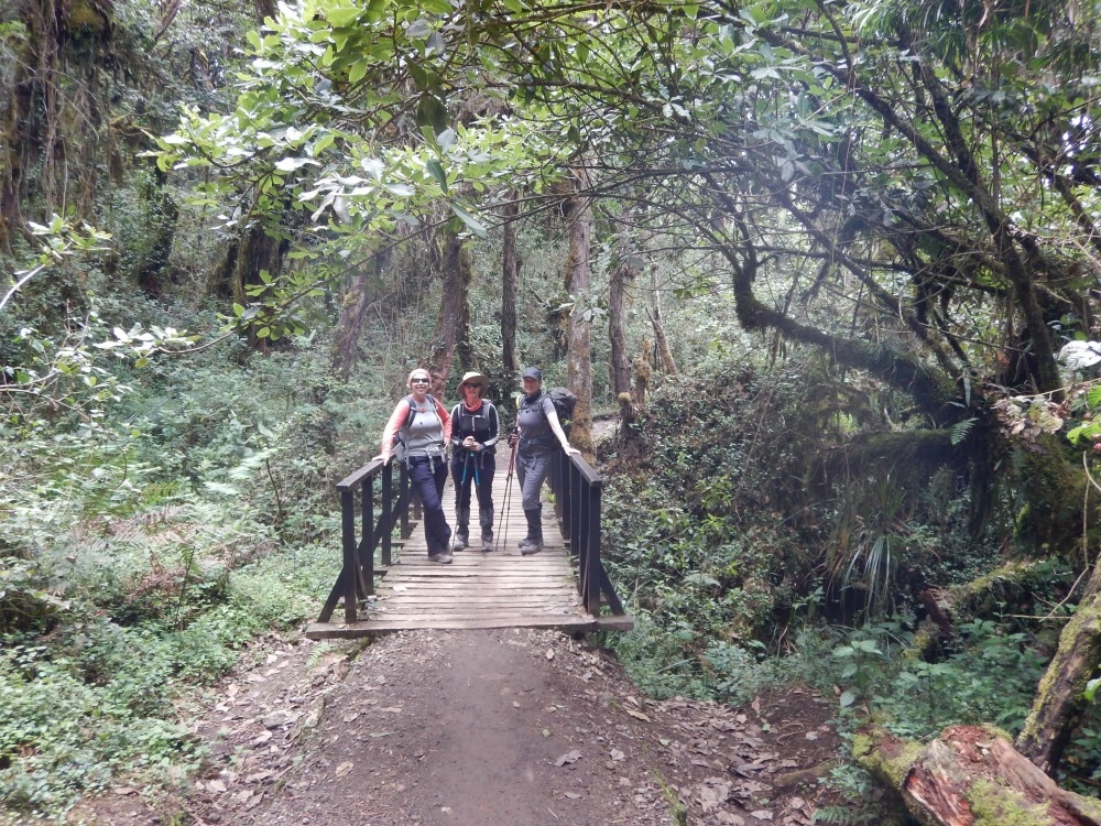
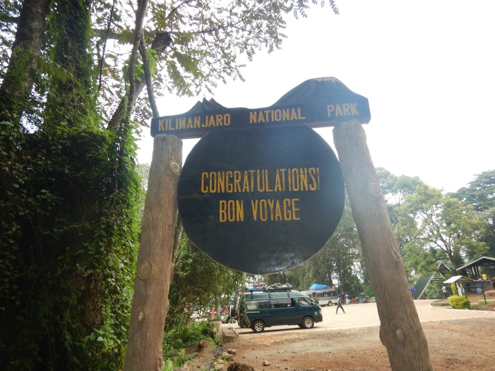
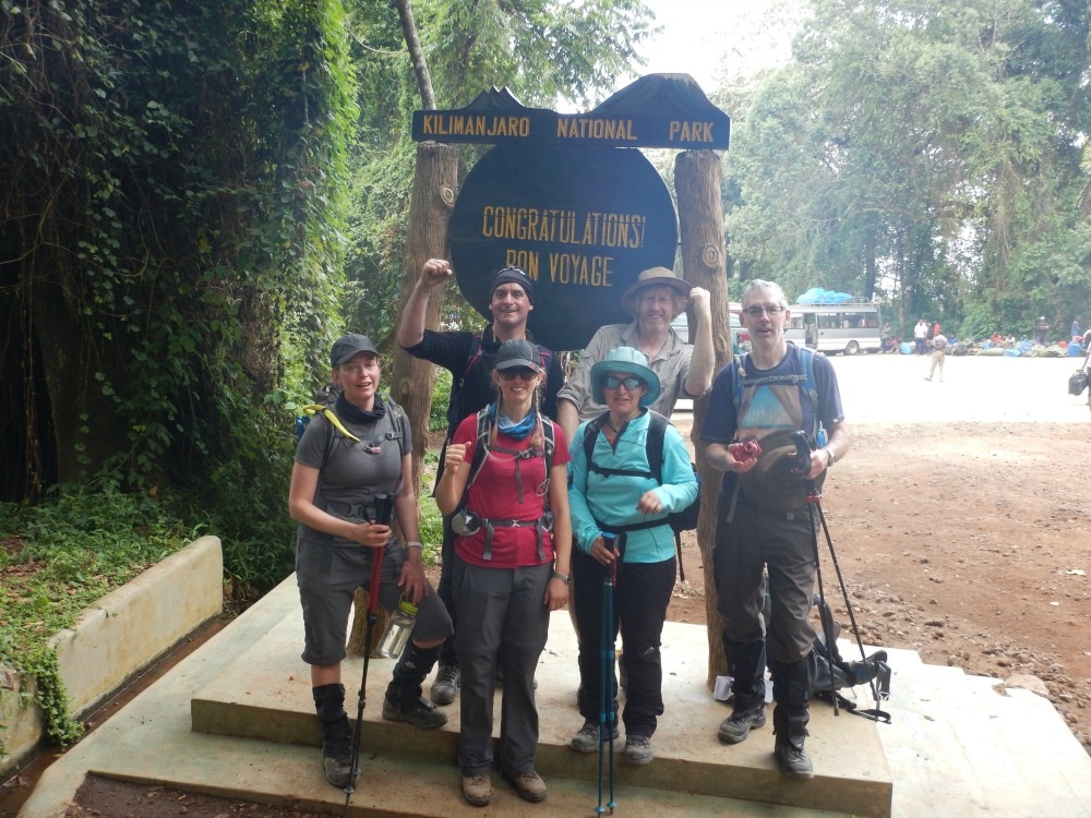
 RSS Feed