|
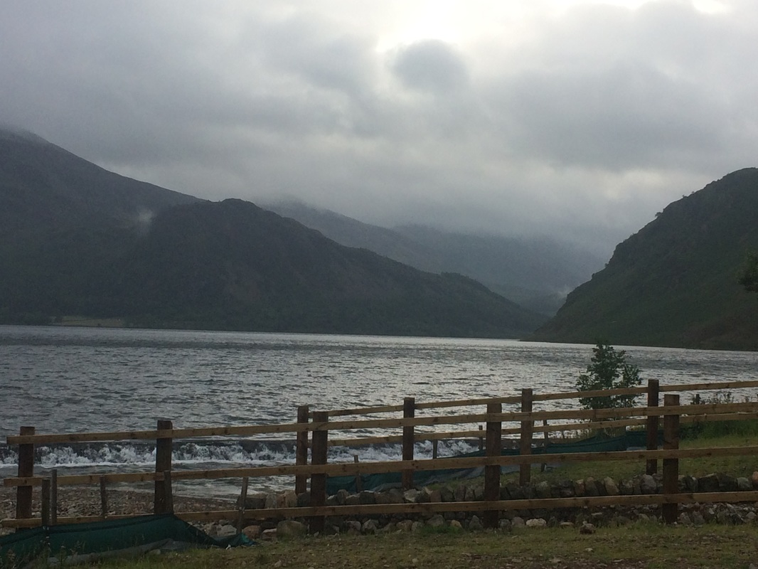
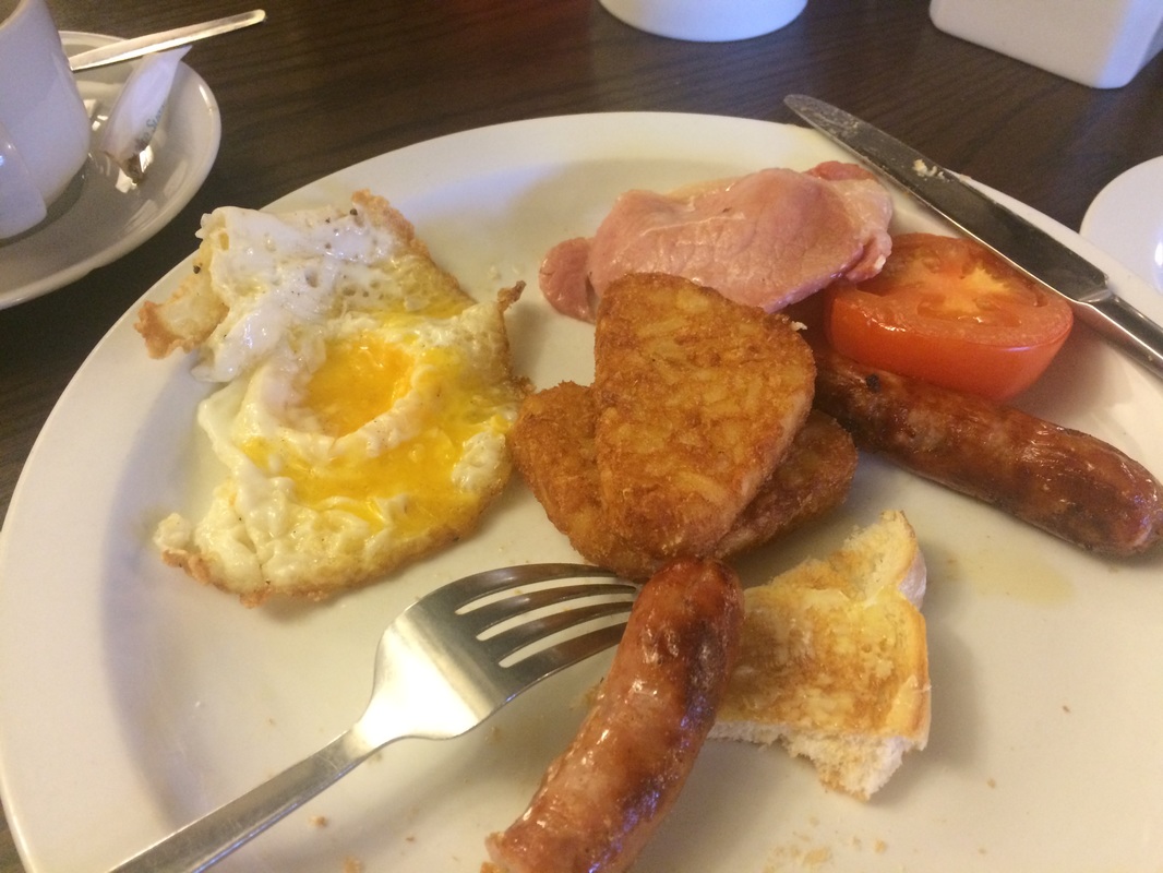
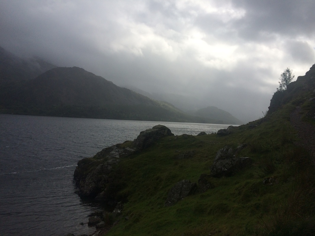
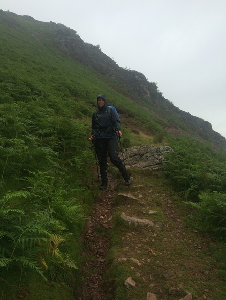
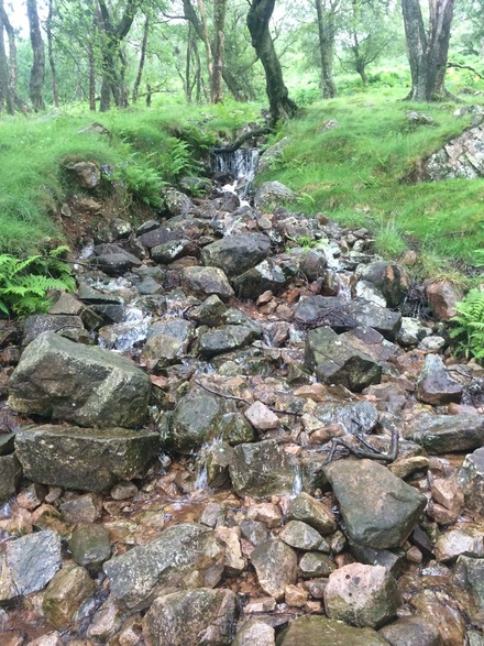
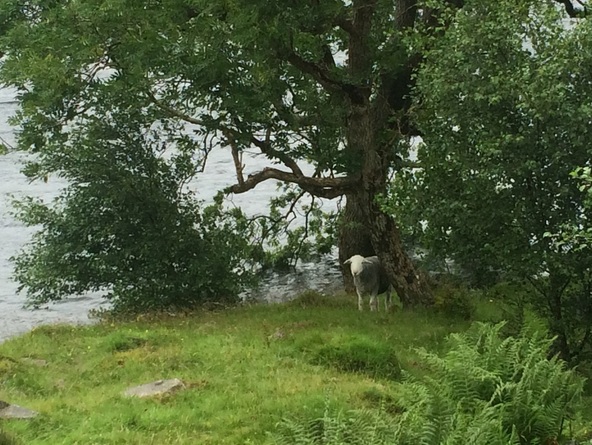
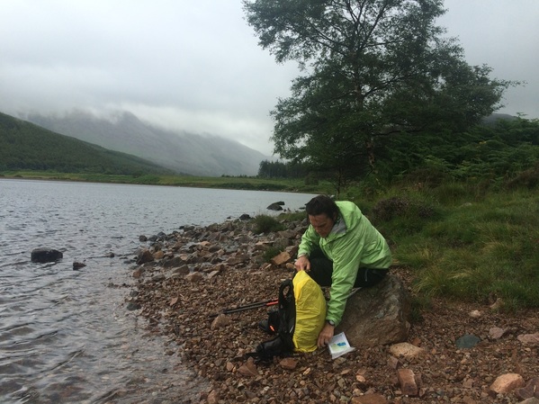
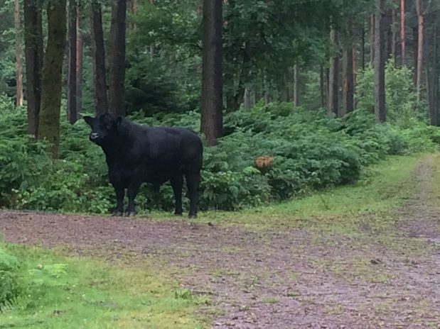
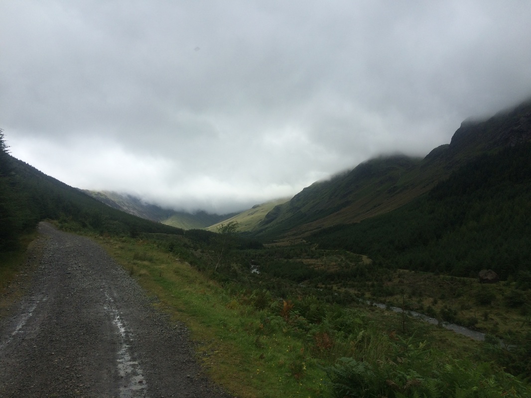
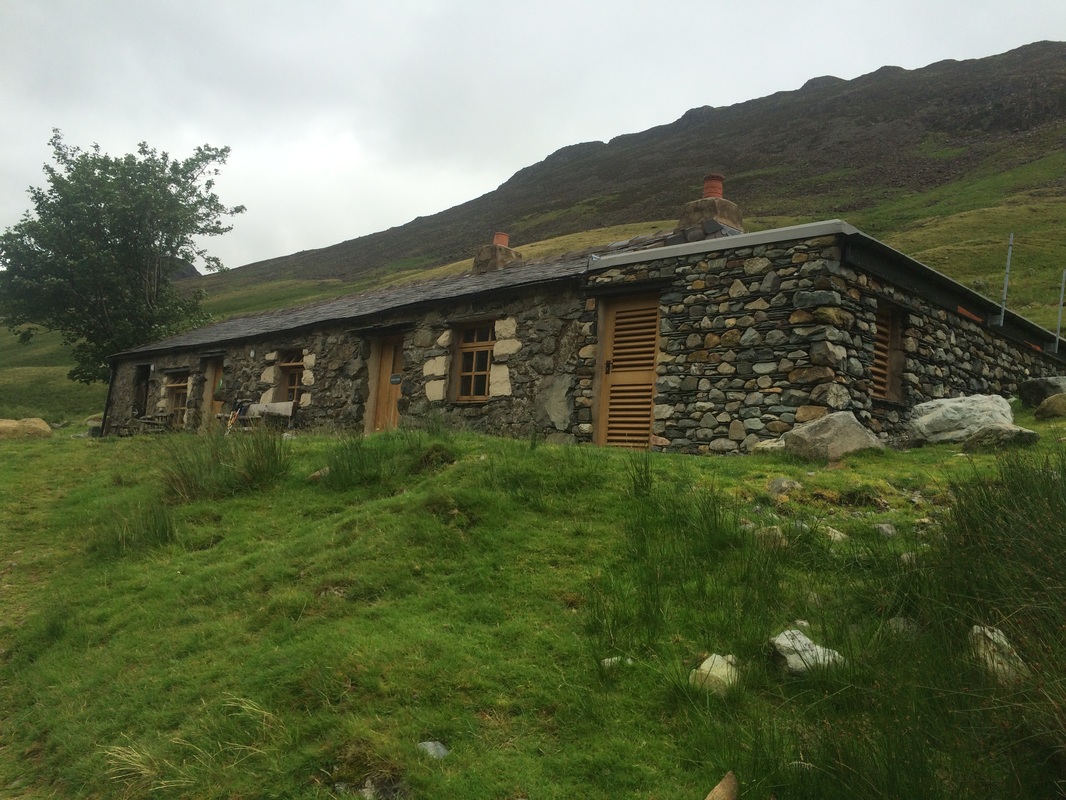
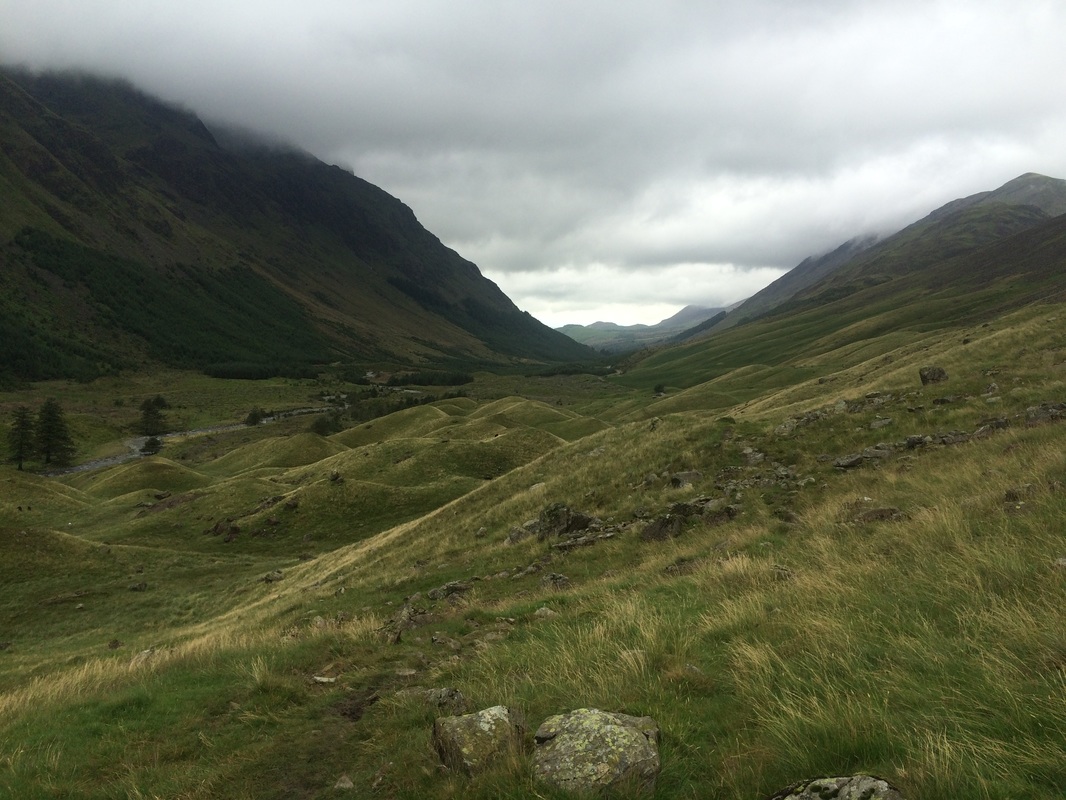
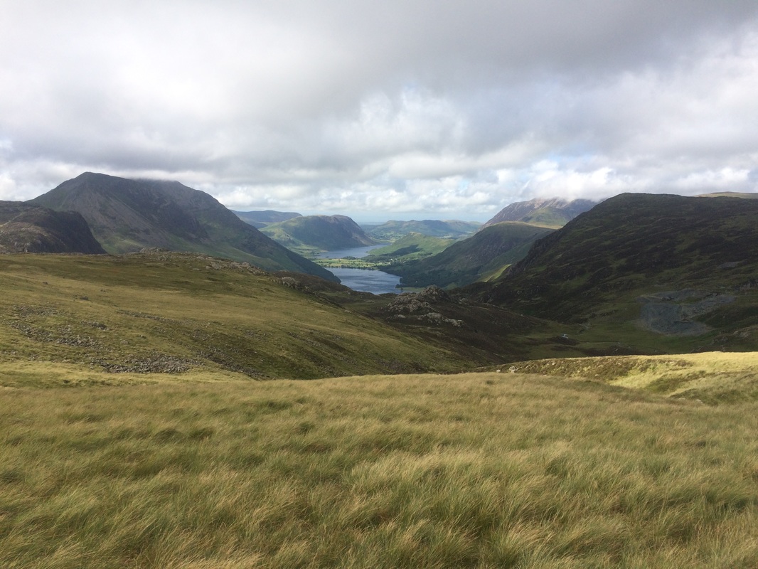
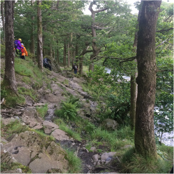
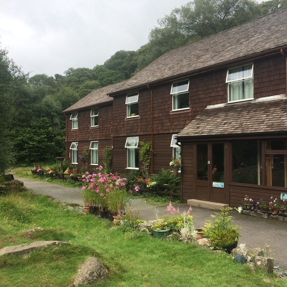
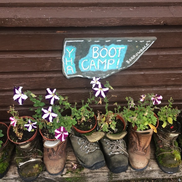
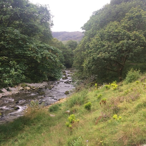
Distance: 15 miles on paper. 18.04 miles walked according to Mapmywalk. 1917 calories burned. 8 hours 45 minutes walking. After an excellent night's sleep, we woke feeling stiff, but not as bad as we feared. I got out of bed gingerly testing my achilles as I went. The trick - if you ever have an achilles injury - is to give your ankles a really good swirl around while you're still lying in bed rather than making them take a step without warming up. Tops tips. You're welcome. We managed to make it down the stairs to breakfast where we enjoyed our first of many FEBs (Full English Breakfasts). Actually, I opted not to go for the FULL English because that is an obscene amount of food when you have to climb big hills. After collecting our packed lunches for the day from the bar staff and having packed up our bags, which would become the MOST tedious part of the trip, we were ready to roll. Incidentally, if you're not familiar with a bag carrying service, they are great. You just leave your bag at your location with with the name of the next place you're staying at printed on a sticker - which the company provide - and off you go. When you reach your destination, your bag is magically waiting for you. You never see the bag moving fairies but they do exist. The nerves of day one had disappeared and we were ready to face the day, despite the forecast of torrential rain. We saw our friends from the day before at the pub and enquired why they were wearing shorts. When they saw our full wet weather gear, we had a bit of a discussion about whose weather forecast was correct - ours or theirs. Safe to say ours was, as we would later discover. I found this weather site for the Lakes to be good. We headed out of Ennerdale, waving goodbye to the pretty little church, before we headed up a hill. It was only day 2 and already the hill-first-thing was getting old. But it quickly levelled off and after a bit of road walking, we got to the start of the lakeside walk along the Southern bank of Ennerdale water. Just as we debated taking off our wet weather gear, the heavens opened. Looking up the lake to the hills with the rain clouds hanging down to the water, was a magical view and made up for our feet which weren't dry to start with and weren't about to get any drier. The guide book said that on wet days, the lakeside 'path will become a river; at this time consider the track on the North side of be prepared to wade'. The book was correct. Thus commenced a long, tricky walk over uneven cobble stones that quickly formed a river bed, with flowing water. It was hard going, having to look where you placed your feet with every step. We then arrived at a seemingly benign rocky outcrop called Angler's Crag. The book didn't give it any particular mention, so we clambered over the steeps rocks until we reached an 'Oh shit' point. The way down was a sheer drop on very slippery rocks. One false step and we'd fall head first down onto the rocks and lake below. It was a long drop. There was nothing to grip onto. Our hands were wet. The rocks were wet. Our wet weather clothing was wet. I started to make my way down and realised that I was stuck. If I made another move, I'd topple down. My leg was wedged awkwardly against the rock to stop me from slipping. I was genuinely very scared. Lynda managed to slide on a slightly less steep bit of rock down to the path below. I threw her my backpack. She held onto one end of my pole, I the other and I jumped, with her grabbing me as I landed on the narrow track below. Recovery chocolate was immediately required. It wasn't pretend scary. It had been seriously life or death dangerous, yet no real warning was given in the book. It turns out, we discovered later, that a woman had fallen to her death in exactly that spot just a few months before. So if you are going to walk the C2C, as you approach Angler's Crag, make sure you look for a high path before you get to the rocks. Apparently there is one, which is less dangerous than the route we took. We then proceeded to walk for what seemed like a very long time along the edge of Ennerdale water getting increasingly wet. It was beautiful, if damp, with cheeky sheep spying at us from behind trees, lots of mini waterfalls and streams. We finally reached the end of the water. We were beginning to realise that the timings given in the book were optimistic to say the least. In fact author Henry Stedman should be given the title - Master of Understatement. If the book said it would take you 40 minutes, you can bank on it taking three hours. And we're not particularly slow walkers. I think Mr Stedman may be a fell runner. We had to consult our maps for the first time in a while and had a choice of following an easy forest track or going a prettier route along a river, 'which has been washed away in places.' We'd had enough of fording streams so decided to follow the forest track. Just as well, given the chap below was waiting on the other path, not looking too pleased with life. We met a group of four people who we called 'The Italian Job' for the remainder of the trip, despite there only being one Italian in the group. After debating the merits of avoiding the bull, we bid them farewell and continued a long but uneventful walk along a forest track. The book describes it as follows: 'Still walking through the forest plantation; still hot, still tedious.' But it was neither hot or tedious. It had gale force winds and horizontal rain but it was less wet than the lakeside path. We were secretly rather pleased that the weather had set in as it meant there was no way we could choose the high route, which would take in Red Pike (755m) and High Style (805m). I think we may have died of exhaustion had we attempted it. Our route took us past Ennerdale Youth Hostel before finally arriving at the idyllic Black Sail Hut, a little stone bothy reachable only by foot and surrounded by hills. Run by the YHA, it is a welcome respite from the elements for walkers. We traipsed inside where several other wet people sat huddled over mugs of tea and flapjacks, which they'd got from the honesty kitchen. We quickly did the same, ate our packed lunches and attempted to dry our wrung out socks on a radiator. I suppose sunning yourself on an exotic island somewhere drinking mojitos may be seen as a better holiday, but I can honestly say that a warm cup of tea, some squashed sandwiches while drying out our feet was marvellous. We chatted to our fellow walkers who came from the UK, Canada, Italy, Holland and Japan. It felt like we were part of some privileged club lucky enough to be sharing the isolated beauty of the place. Fed and watered we headed out into a slightly drier afternoon and prepared to do the big climb up out of the basin we were in. While the scenery is absolutely breath-taking, it's the hill that will really take your breath away. It was a long, steep climb up but the views from the top were absolutely worth it. At the exact moment we crested the hill and started the walk across the boggy fells on top, the sun broke through the clouds, giving us this magnificent view over Buttermere and Ennerdale. We continued plodding across boggy fells for some time, seeking out the odd stone cairn as waypoints, before finding an old tramway leading to Honister Slate Mine. Despite initially heading off on the wrong path, and having to retrace our steps across more bogs, we finally got onto the tramway and went down a ridiculously steep, slate bank towards the mine museum. After day 1's steep hill down to Nannycatch Beck my knees weren't enjoying the downhill but we got there without breaking an ankle. A quick pit stop at the museum loo and we set off again, on the last part of the day. By now we were tired. I began to feel a hot spot on my foot, the makings of a blister, thanks to walking in very wet socks all day. A compeed plaster came to the rescue and we continued on, hooking up with our friends John, Jimmy and Rob from day 1. Chatting to Jimmy and Rob about their wedding plans passed the time and we quickly got to the pretty hamlet of Seatoller. A last walk along a river and through Johnny's Wood, which included walking along more rocks, but this time with a handy rope to stop you falling in the water, we finally arrived at our hostel for the evening - Borrowdale YHA. The building was basic, the room small, but once again, set right next to a babbling brook, which is a lovely bedtime accompaniment. We quickly went into our evening routine - shower, muscle massage, boots in drying room, lager, big bowl of food (vegetarian chilli - yum!), map reading for the next day and bed. We were exhausted! On to day 3
Back to day 1 How to plan for the Coast to Coast Want to walk the coast to coast? Join the Glamoraks community and find a walking buddy.
0 Comments
|
Categories
All
Archives
July 2024
|
Get social. Follow us.
|
Don't get left out.
Add your email to be alerted about any Glamorak events, walks, get togethers, challenges or news.
Success! Now check your email to confirm your subscription.

 RSS Feed