|
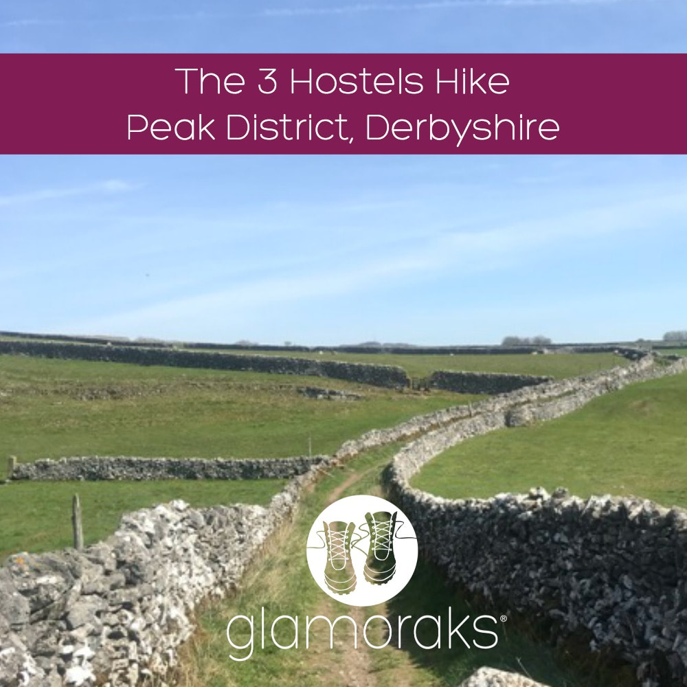
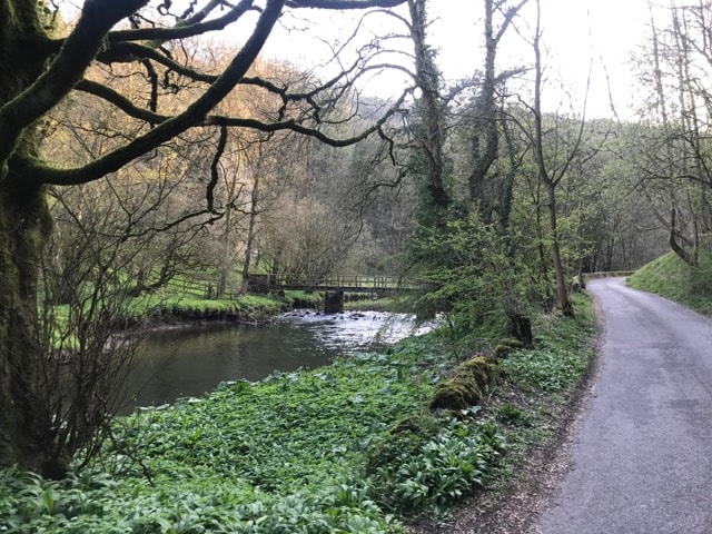
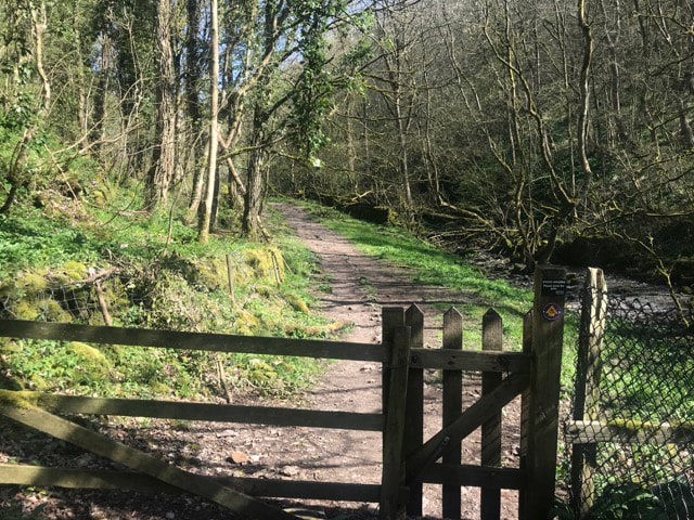
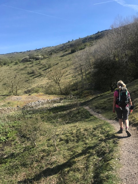
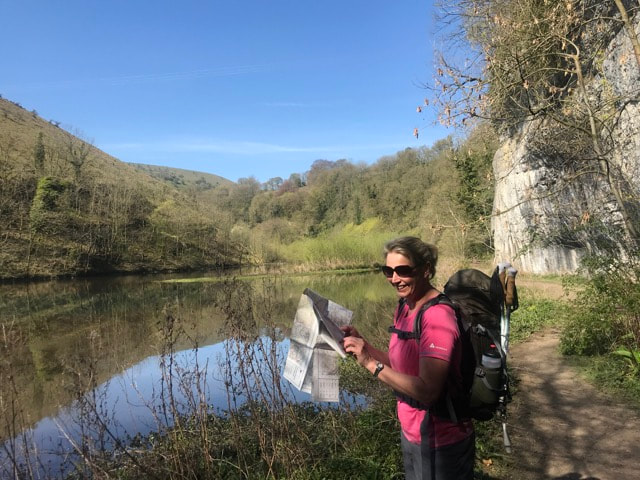
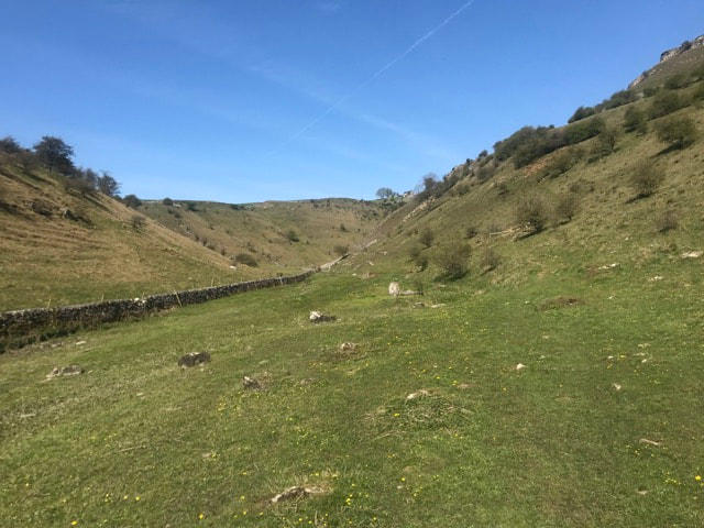
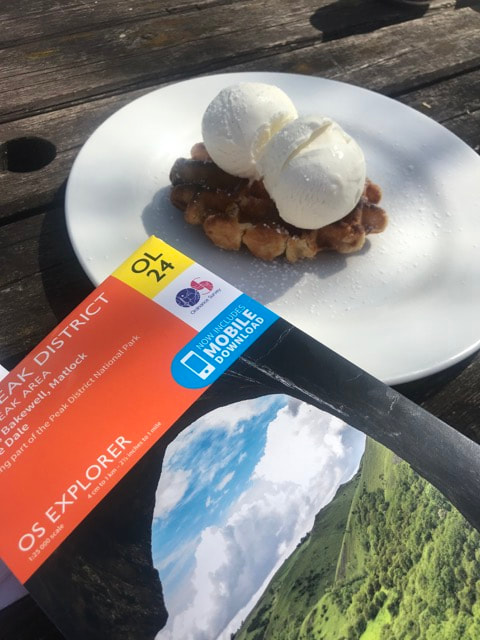
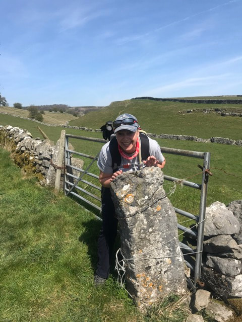
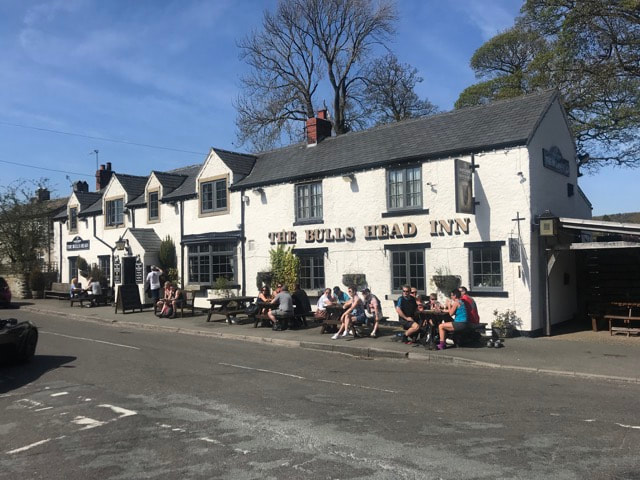
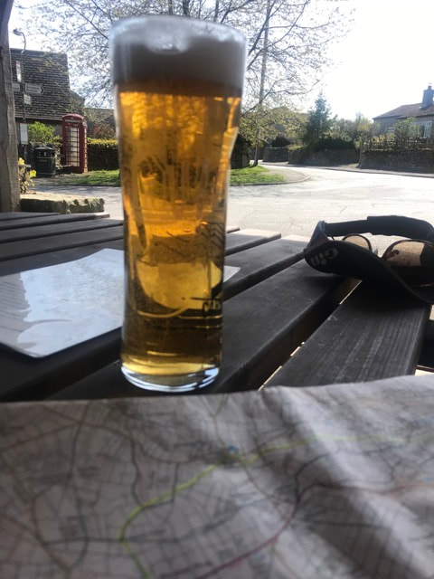
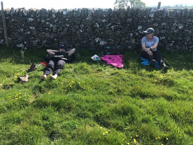
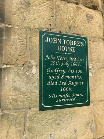
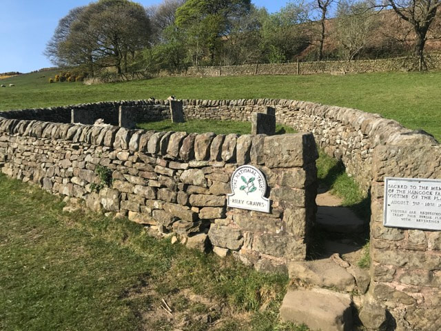
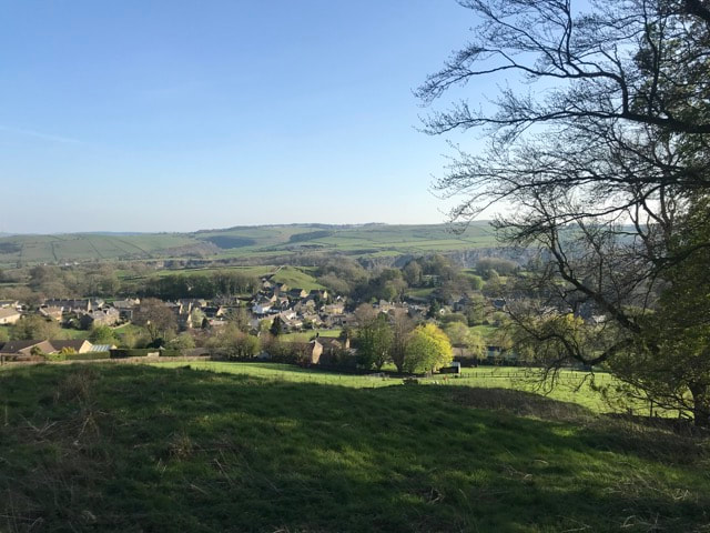
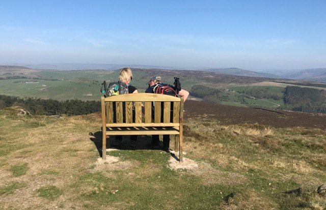
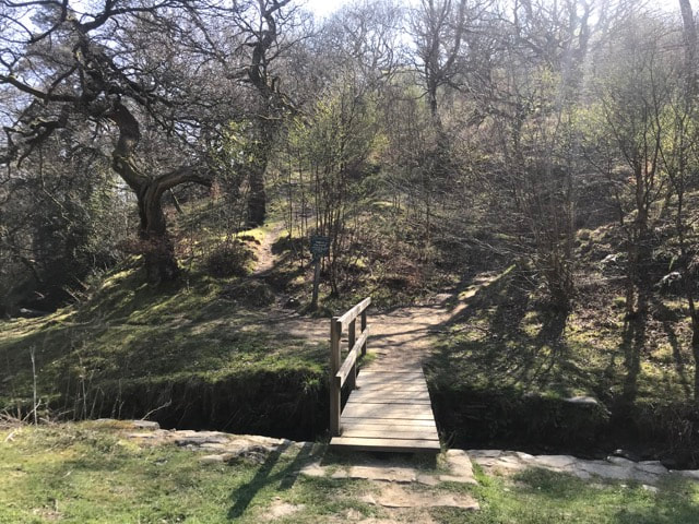
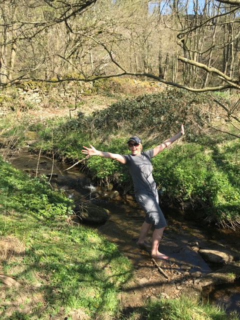
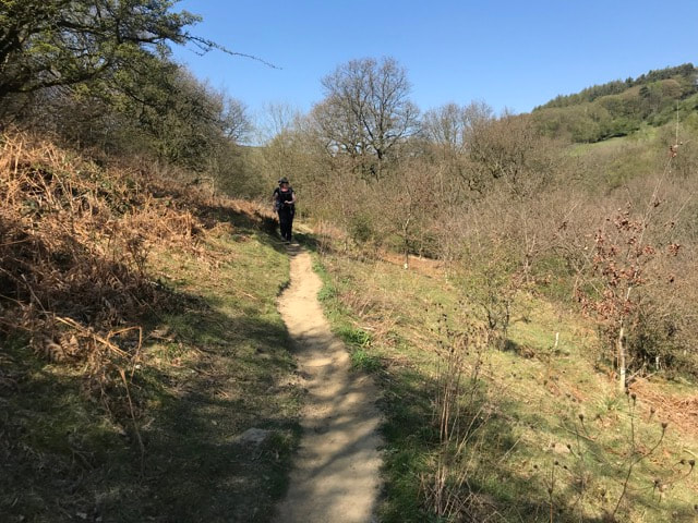
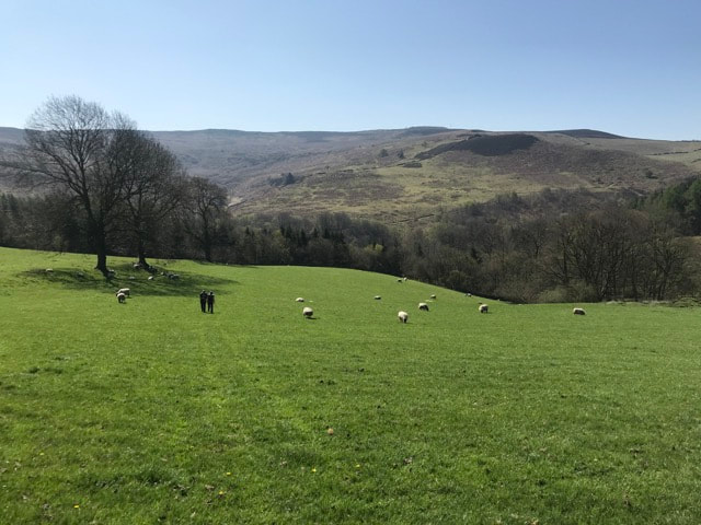
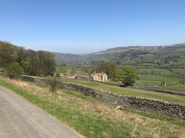
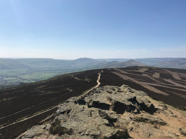
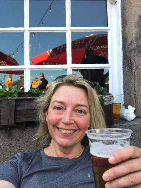
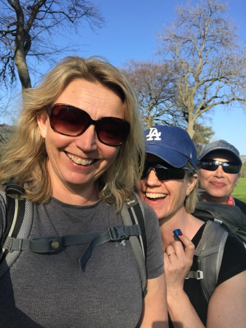
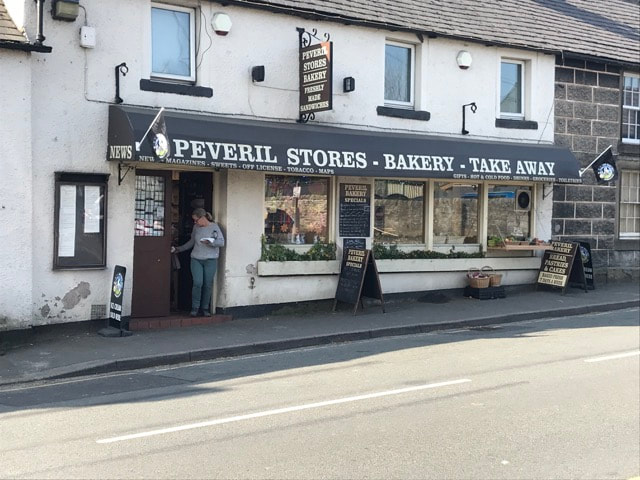
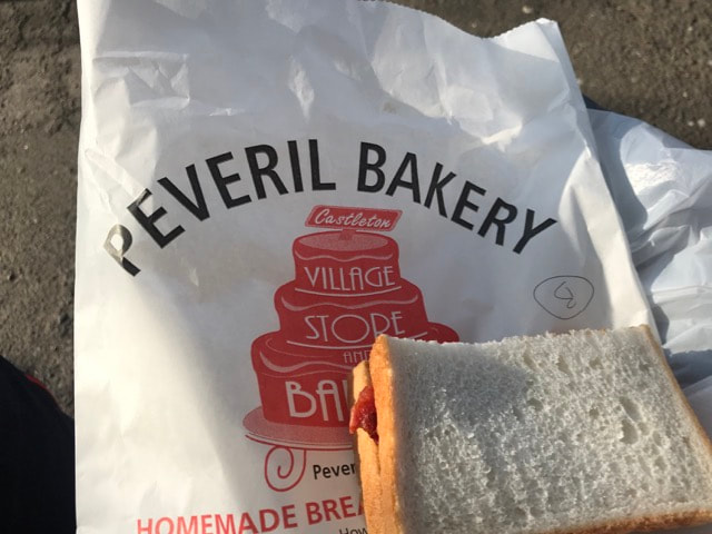
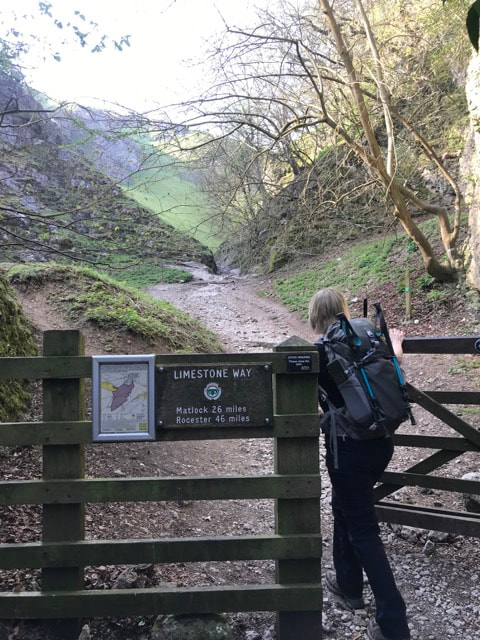
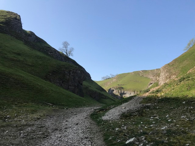
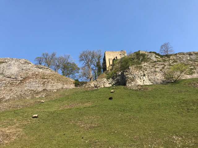
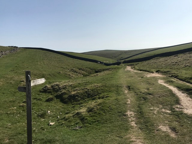
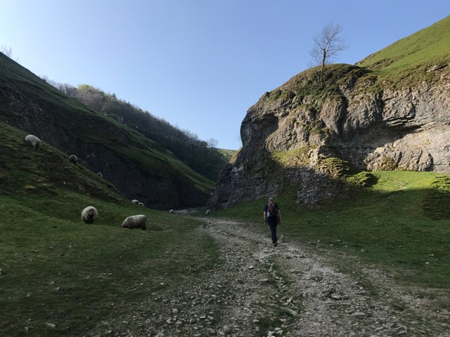
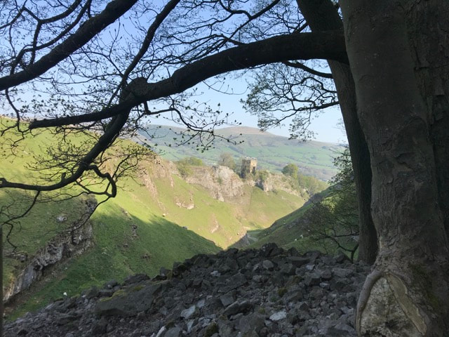
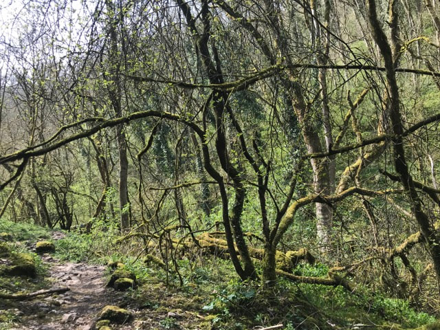
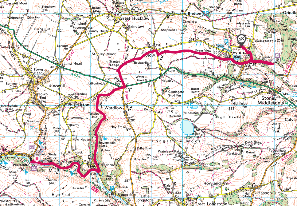
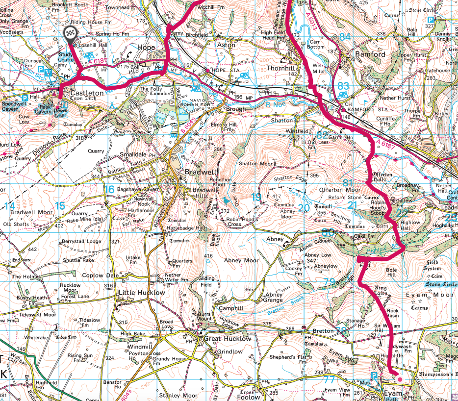
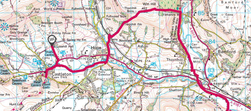
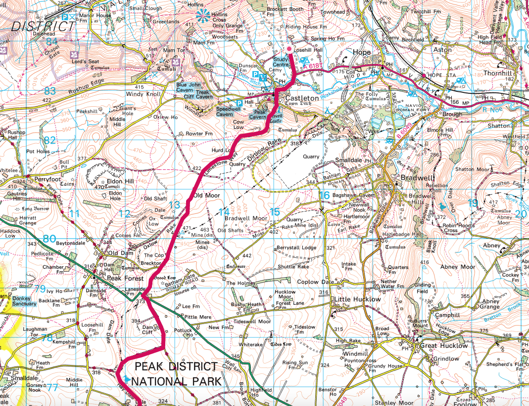
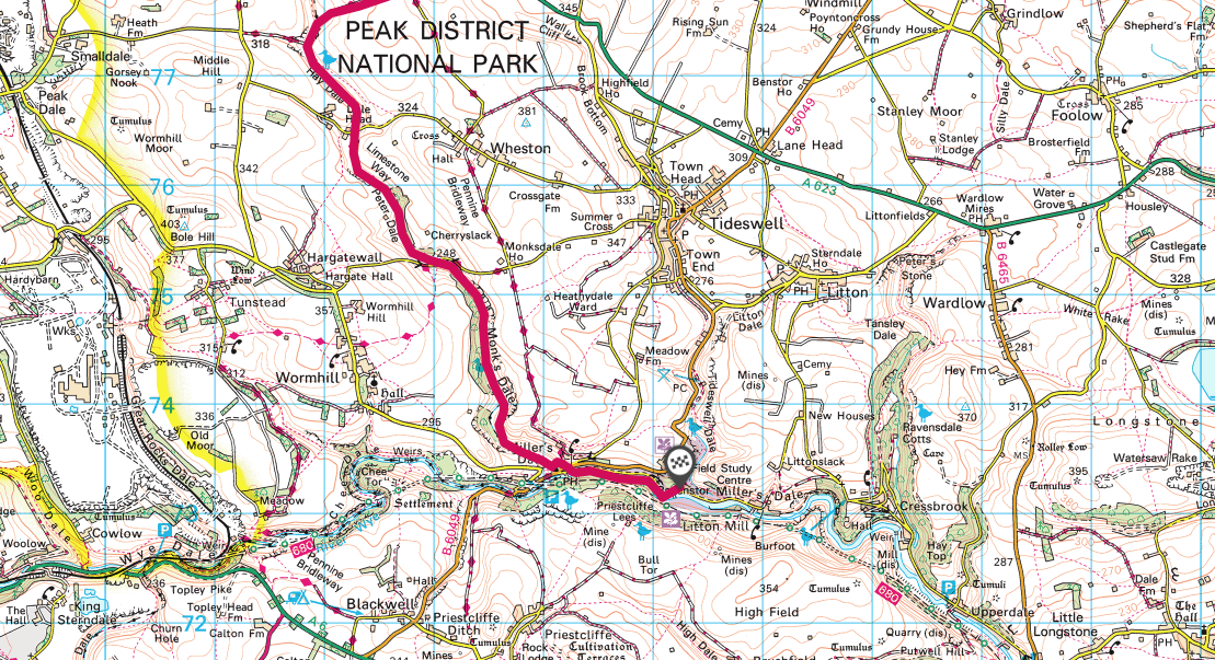
I'd been meaning to do this walk ever since I saw it written up on the YHA website. So when I had a free Easter weekend - forecast to be brilliantly sunny - it seemed like the perfect opportunity to tick it off my list. Here's what you'll need to do the walk: Ordnance Survey maps OL24 and OL1, covering the white and dark peak areas of Derbyshire, UK respectively. Pre-booked beds at the three hostels (YHA Ravenstor, YHA Eyam, YHA Castleton) A small pack with enough clothes and kit for three days. Don't worry about snacks - there are plenty of places en route We arrived on Good Friday in the evening. Ravenstor Youth Hostel is conveniently situated just 10 minutes walk along a beautiful river from The Angler's Rest Pub in Miller Dale. Outside tables mean you can watch the river flow past on a sunny day or head indoors for a hearty dinner when it gets chilly. Huge portions and friendly staff made for a fabulous start to our three day adventure. After a good night's sleep in a three bed private room, and a hearty hostel breakfast, we headed off leaving our cars parked at the hostel. A path leading directly from the hostel down to the river makes an easy start. Turn left as you hit the riverside path and simply follow it until you reach Cressbrook. It's a gorgeous stroll between two towering valley walls made of limestone, where crazy climbers attempt to scale the cliffs. At Cressbrook, turn left up the road, taking the right hand fork and follow it until a track off to the right leads you down to Ravensdale Cottages. The gorgeousness continues as you follow the length Cressbrook Dale, following signs for The Golden Miles fundraising walk. You go through bluebell woods and follow the valley, again hills to either side hemming you in. You pop out on the busy A623. The shock of having people and traffic is a little jarring after the peace of the valley, but the fact that the Yondermann Cafe is there, provides a good place to stop for a toilet break and a snack. We opted for a second breakfast of hot waffles with vanilla ice cream because why the hell not? We really didn't have very far to walk on day one, so we took our time before setting off across fields, past Sillydale - where we were silly - and marvelling at the range of stone styles we kept arriving at, including some designed for very skinny people to squeeze through. Bear this in mind when eating your waffles.... We soon found ourselves in the idyllic little village of Foolow with a fine pub - The Bulls Head in - where we really weren't hungry enough for lunch but felt it rude not to have something. And so we did, including a pint of cold lager as it was a very hot day. Having done almost more eating than walking, we decided we'd find a shady wall in a field to have a post lunch nap in., which we duly did. Until this point, the walk had been entirely not taxing, a stroll more than a hike. We headed into the historic village of Eyam. We hadn't quite read up on the history before arriving. At the first house we passed we saw a sign outside it saying something like: 16 people lived here, they all died. It was dated from the 1600s and I thought, no kidding they all died. If they hadn't they'd be super old by now. But then we passed a house called the plague house and it too had a morbid sign outside saying how many people in the household had died. And so it went on. Turns out that the plague was brought to Eyam by a bale of cloth brought from London in 1665. Fleas carrying bubonic plague were in the cloth. People rapidly fell ill and in a remarkable act of bravery, the village decided to quarantine itself so that the plague couldn't spread to surrounding villages. In total 280 people died, but their quarantining efforts worked and the plague didn't spread. One resident - Elizabeth Hancock - had to bury her six children and her husband in the space of a week. Imagine that?! So that was the cheery story of Eyam. We set off out of the village with the intention of finding the hostel, but somehow missed the path and ended up climbing up a big hill to see the Riley Graves, where the aforementioned Elizabeth Hancock had buried her family. It was sobering to see it, but hadn't actually been on our planned route. We retraced our steps and with the help of a friendly local, found the correct path up another steep hill to find Eyam hostel. So despite not having to walk more than 14km, it felt a lot longer after our hilly diversion late in the day. A dinner of pizza at the hostel, some wine and some competitive games of Yahztee and we were soon ready for our beds, this time in a shared dorm. Day 2 and another full English hostel breakfast and we were ready to tackle the longest of the three days. It immediately started with a hill, a long climb up to the top of Eyam Moor. A memory bench perfectly placed to take in the view was made even more memorable when a group of fell runners came up to us and asked if we'd take their picture with the bench. In the group was the widow of the man the bench was dedicated too. It was very moving seeing them out doing something he obviously loved, in his memory. That led to a long chat about where we might like to have our memory benches situated. The runners quickly left us in their wake, while we walked down to Highlow Brook, a more idyllic spot you couldn't find. A bubbling stream to cool our hot feet in, bluebells, skylarks, warm sunshine. We probably could have sat there for the rest of the day. But we continued on up another big hill past plenty of sheep and their bouncy lambs to Highlow Hall. Crossing over the road at the hall, we then followed a farm track for a good distance, taking in views of Stanage Edge to our right. At Offerton House, there was a tempting route to follow the ridge line of Offerton Moor, but our path was down the hill to follow the track alongside the River Derwent. It is safe to say that by this point it was almost lunch time, exceptionally hot and discussion was had about shortening our walk and follow a more direct path to Hope and the promised beer festival. But the gods were smiling on us by ensuring there was no riverside path for us to follow once we reached the A1687, so the decision to bottle it was removed as an option. We briefly chatted about catching the bus to Hope instead, but I'm so pleased we braved the heat and continued on because what was in store was definitely worth it. If you are doing this walk, there is a garden centre over the road which has toilets and a handy cafe, the perfect place to pick up a sandwich and cold drink as there is nowhere else to get supplies until you reach Hope. I suggest replenishing your water here if it's a hot day because you have a BIG climb ahead of you. Walking beneath the railway line, we quickly picked up the Thornhill Trail, a long flat walking and cycle trail along a disused railway line. The going was easy and allowed us to eat our sandwiches. If you kept going along the path, you'd reach the Ladybower Reservoir, but we turned left up something called Parkin Clough. If you're using walking poles, now is the time to get them out. You climb approximately 460 metres in height in less than a kilometre. It is steep but beautiful, as you climb a gorge and try to remember to breath. At last the gorge spreads out into the base of a hill and you still have more climbing to go until at last you reach the top of Win Hill. From there the 360 degree views are jaw dropping, taking in Ladybower Reservoir, Hope Valley, Edale Valley, Lose Hill, Mam Tor, Rushup Edge and the Kinder Scout Horseshoe. They say the climb is always worth the views from the top - and that is very much the case here. But the views from the top made it worth it! At this point we were a) very hot b) very sweaty c) very tired and d) in need of a cold beer. We walked past the trig point and headed down a much more gentle slope towards Hope. We passed Twitchill Farm before following the road under the railway and into Hope. Hoorah! We found the advertised beer festival at the Old Hall Hotel and very happily found a shady spot to sit down and enjoy people watching. We weren't too inclined to leave, but after a couple of pints we felt it best to complete the final stretch to Castleton, our third and final hostel destination. A pretty riverside walk followed, with many people obviously doing the same stretch. By the time we reached Castleton we were all very ready to get our boots off, but having navigated expertly this time to the hostel location on the map, we were informed that the hostel had moved and was now situated a mile out of town in the direction we'd just come from..... Ordnance Survey team - could you please update your map! We decided to have dinner in town before walking to the hostel. We went for the Peak Hotel mainly because we wanted to sit down! Huge portions of burgers and loaded nachos don't give you a healthy option, but we tucked in while sitting in the lovely beer garden in the evening sunshine. Forcing ourselves to our feet, we walked the last mile out to Losehill and the hostel, set back off the road in stunning grounds but with a driveway we wished was slightly shorter after 19 kilometres of very hot walking. Much needed showers, more yahtzee and an early night followed. Our final morning and we decided to skip the hostel breakfast and find somewhere in Castleton for something a bit different. As it turns out, we were up earlier than anyone else in Castleton and everything was closed except for the most excellent Peveril Stores and bakery. We'd discovered this little gem on a previous visit. We bought sausage rolls for our lunch as there is nowhere en route to get anything on day 3, plus bacon butties and hot coffees, which we ate while sitting on a bench opposite the shop. It handily had public loos next door, so once fed and abluted, we headed off. You head into the middle of Castleton and follow the sign for Cave Dale. Immediately you are enclosed in a stunning gorge that is littered with caves beneath it. To your right, you can see the remains of Peveril Castle including the garderobe (the castle loo). I imagine Cave Dale is a lot nicer now without having raw sewage flowing down it unlike in days past. The climb up through the gorge, was tiring, yet so beautiful we barely noticed the ascent. At the top, we simply followed the signs for the Limestone way across the top, before gradually descending to the first of three back-to-back dales, each distinctly different in look and feel to each other. Hay Dale was first, with mini cliffs and a gentle hobbit like feel. Next came Peter Dale, a broader, green and lush valley edged with high cliffs. Last came Monks Dale. This was an overgrown, jungly affair, with high temperatures and a sense that it might never end. If I did it again, I'd skip Monks Dale and stick to the Limestone Way, which means another hill climb, but that is no doubt easier than the rocky path we had to follow. Just as our sense of humour was waning, Millers Dale and the Anglers Rest pub hove into view. One more short push back to the hostel alongside the river and we were done. Having reclaimed our cars, we returned to the Angler's Arms for a final cold drink before bidding each other farewell and making our way home to our various parts of the country. It was a fantastic walk totalling about 50km (30 miles) which is very doable over three days. Do count on some steep hill climbs but you will be rewarded with gorgeous views. And frankly, if you ate and drank as much as we did, you'll need those hills to burn off the calories. Three night's accommodation cost £75. Hostel breakfasts are £6.75 and if you go for their supper club option (a main and a pudding) it costs £9.99. Do add in some pennies for all the lovely places to stop and get drinks and snacks. The route
1 Comment
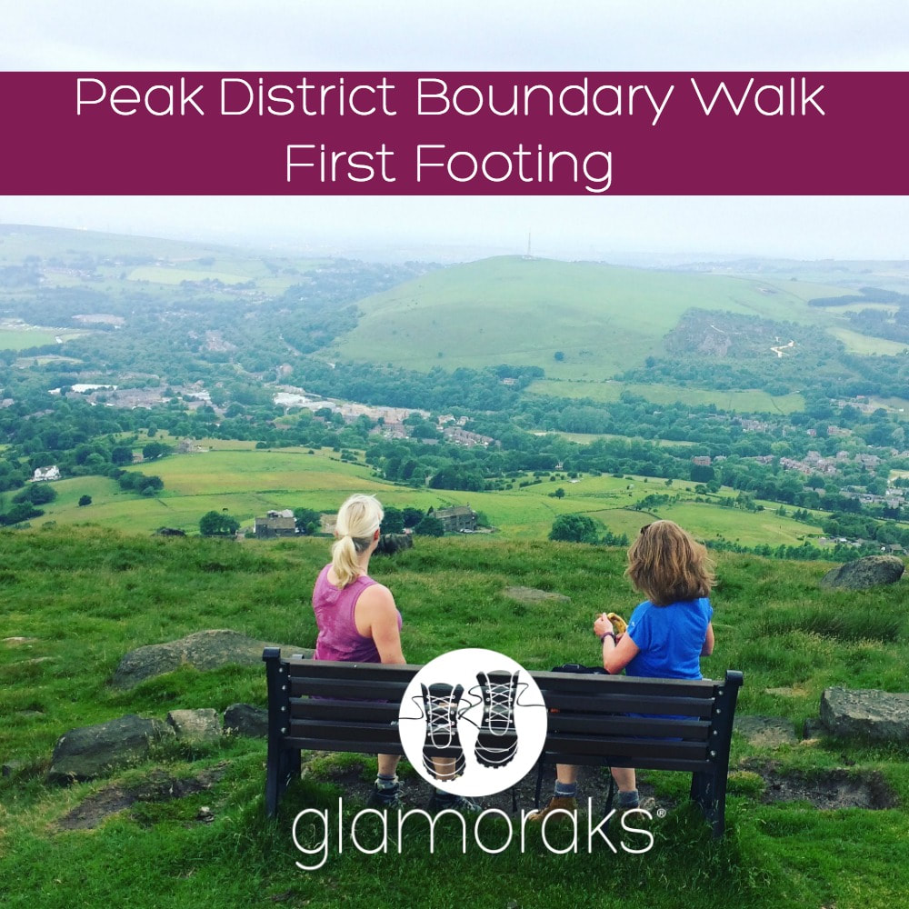
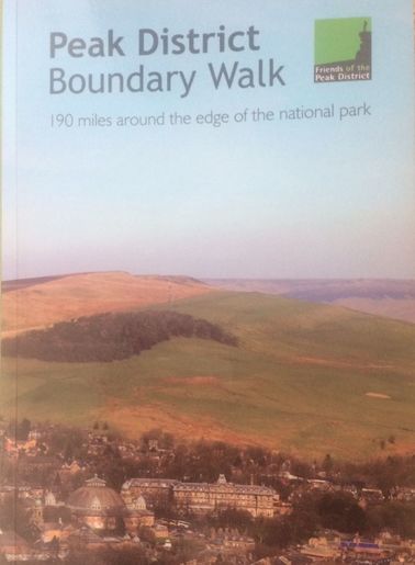
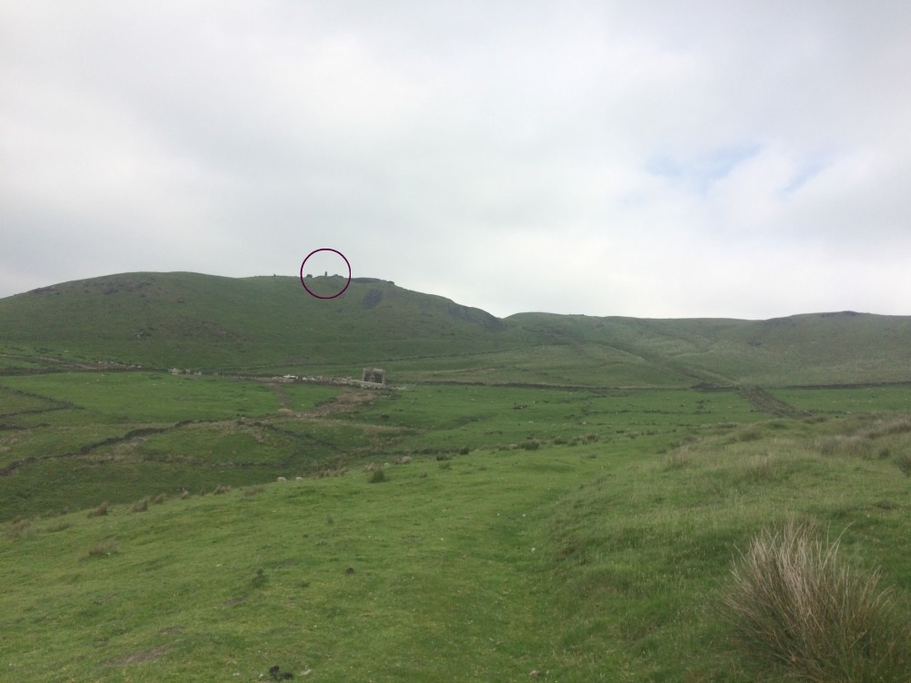
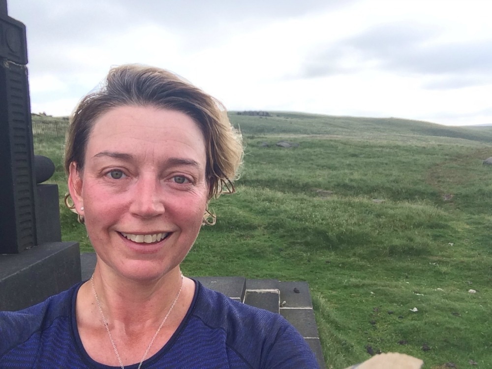
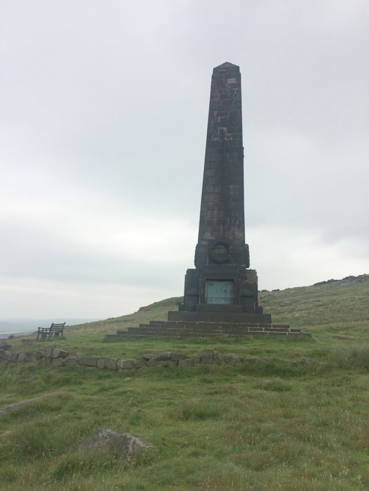
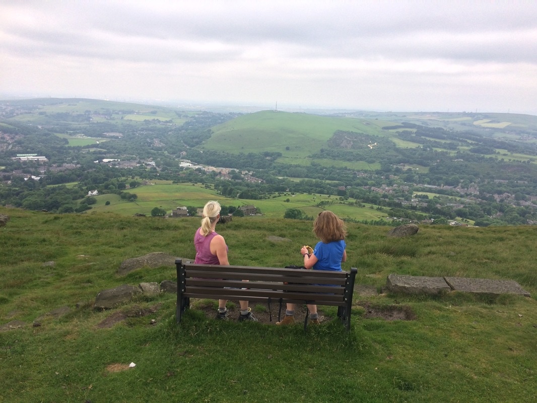
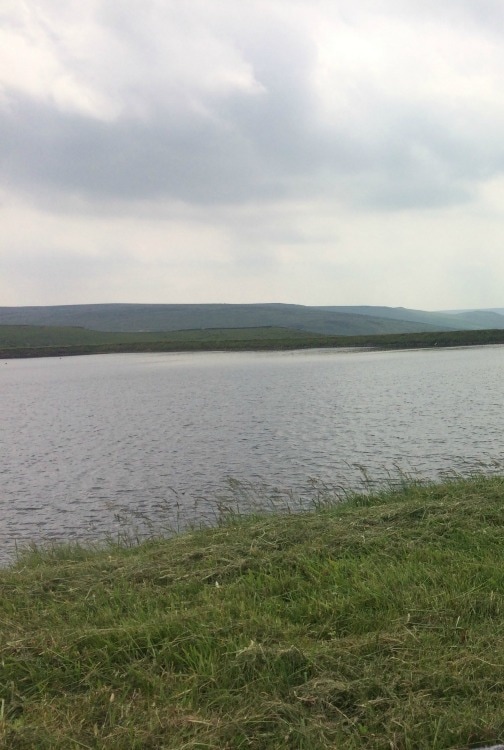
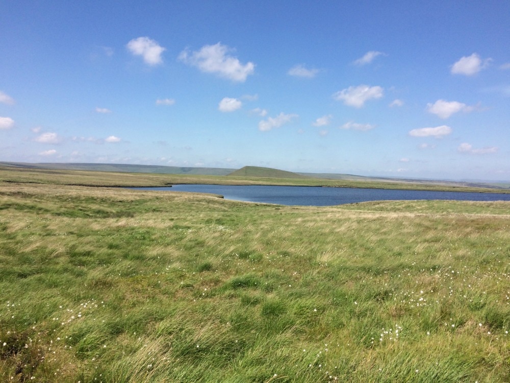
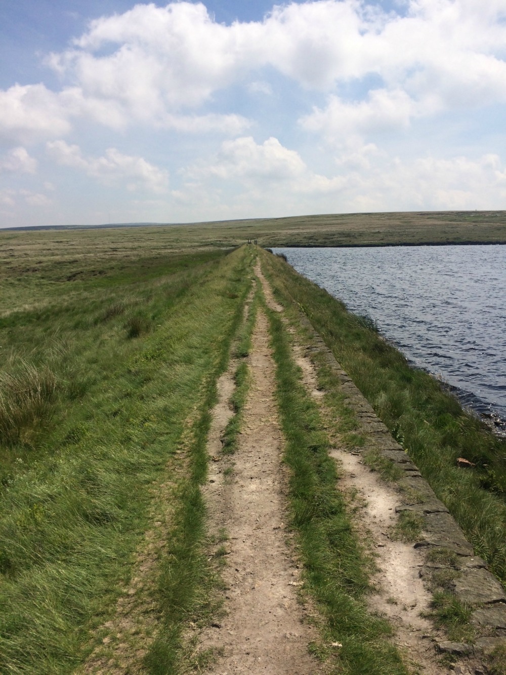
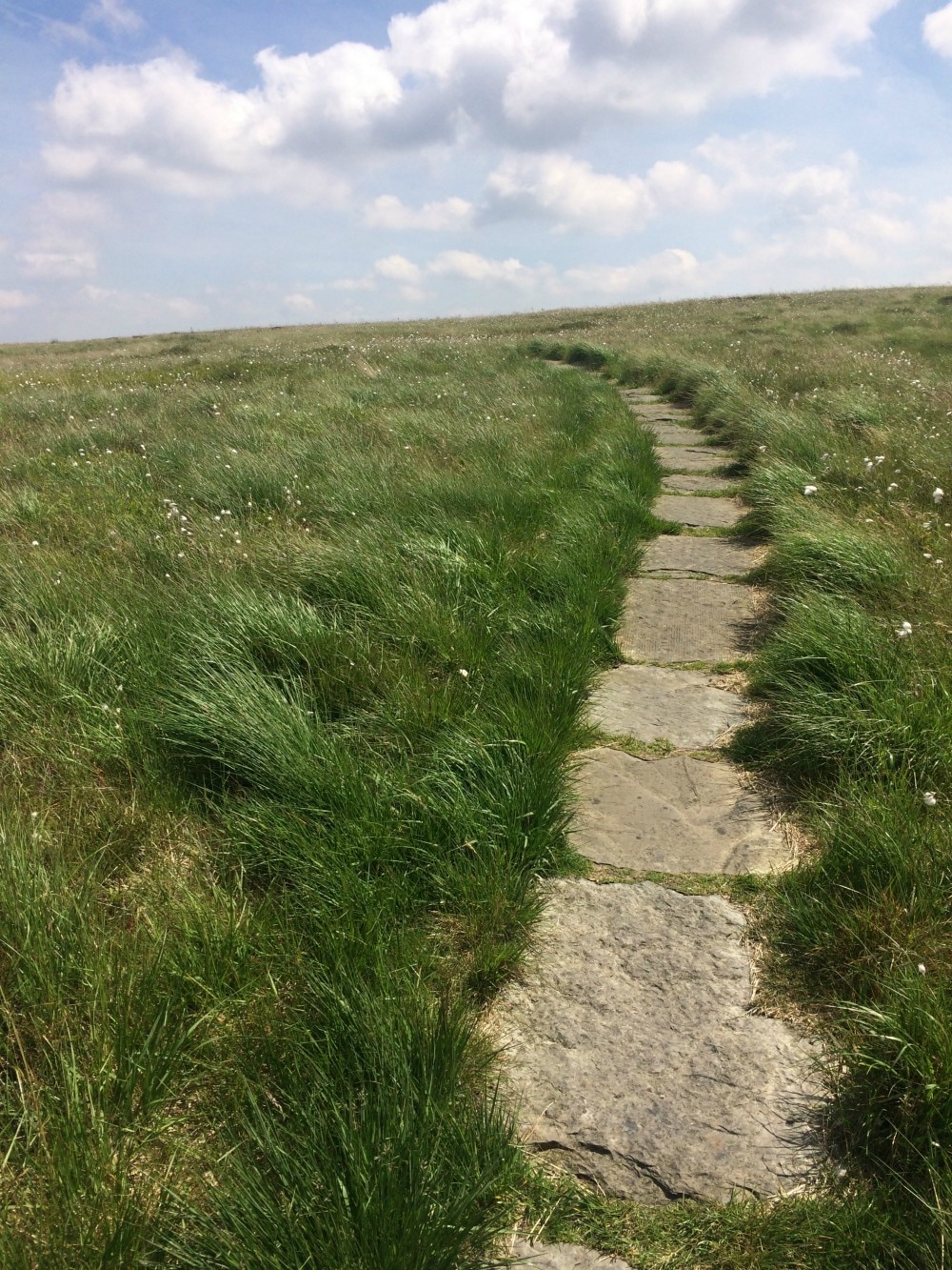
Distance: 10.6 miles Ascent: 597 metres Type: Rural, farmland, moors Terrain: Tracks (some overgrown), dirt tracks, stone slabs On 17 June 2017, a brand new long distance UK trail opened. Called The Boundary Walk, it is 190 miles long running around the edge of the Peak District National Park. A few Glamoraks and I headed off to have a first footing of the path. We decided on the Greenfield to Marsden leg (stage 5) mainly because it had a train station at the start and end of the stage. It also looked - on paper - as though it would cover some wild moorland and had a good amount of hills in it. Catching a train from York at 8.30, we were in Greenfield for 9.40 and were kindly picked up by the walk organiser's friend who took us to the start at Dovestone Reservoir (although you could walk from the station and simply pick up the path from Hollins Lane). Despite looking around for others who were meant to be walking the same leg, we couldn't find anyone, so at the allotted start time of 10am, we set off. We did ask around at the car park but whenever we mentioned we were walking to Marsden, we were greeted with open mouthed disbelief or teeth sucking as though we were out of our minds for walking such a long way (it really isn't that far!) We used the newly published guide book (pic below). Almost immediately we were slightly puzzled by where we should be going. The words and the map in the book didn't quite correlate. Switching on google maps on our phones, we finally figured out where we should be heading and got started. (Top tip: if you're doing this leg, when you get to the Dovestone Reservoir carpark and you're at the public toilets, you walk away from the sailing club and out of the carpark along the road you would have driven in on, until you hit the main busy road ahead. The instructions in the book make sense from there). Almost immediately, the 597 metres of ascent made itself felt as we began a long, hot climb to the top of a hill where an impressive obelisk awaited. We caught our breath and had a snack while we admired the expansive views from the hill top. We set off again along the edge of Saddleworth Moor, with stunning scenery off to our right. Just as we were getting into our stride, we had to descend again down to a small village called Pobgreen. It had an inviting looking pub and we were ready for our lunch by this point, but we had to soldier on as we had a return train to catch. Just a note here: as you head down the lane to Pobgreen you will get to a point where you can keep following the lane or take a stile and footpath sign directly in front of you. Stay with the lane. Leaving Pobgreen behind us, we climbed another hill before descending again to another little hamlet. It was here that the guidebook left us feeling a little confused once again. The book said: Follow the lane downhill and once rounding a slight bend, you should see the public footpath fingerpost on the right hand side of the lane, at the edge of a property. Continue past the property and along a narrow fenced-in path. We had no idea whether that meant we had to take the footpath or walk past the house and take the next footpath. We walked back and forth a few times before deciding to take the very narrow path behind the house as indicated by the fingerpoint sign. And it was the right choice. We soldiered on through fields of sheep, before crossing a bridge, and heading up another hill with the sound of a shooting range echoing around us. At last we got to the Brun Clough Reservoir, where we had a brief picnic lunch and aired our hot feet. Until this point, the sun had stayed hidden behind clouds but it was super humid. After lunch we joined the Pennine Way and made our way across the gorgeously wild and remote moorland, passing several reservoirs as we went. The sun was now blazing and the brown peaty water looked very tempting for a dip. At one of the reservoirs (Black Moss) there was even a tiny beach, which would make an idyllic wild camping spot. We didn't have a swim but carried on as the temperature rose. The book said that we should look out for a stone platform and little mast, which we found. But - a note of caution for anyone following the book - at this point you need to turn the page and read the next set of instructions, rather than blindly following the path (as we did). As a result, we missed a steep path that ran down the side of the hill that we should have taken. Luckily, the path we took eventually reconnected with the path we should have been on, and we got to avoid a knee killing downhill plus we got to see a pretty waterfall. So I'm not sure why the route we took isn't the actual route, but there you are. By this point the temperature was in the high twenties, not a cloud in sight. We had a choice. Continue with the route as per the book, which would have meant a longer, much steeper climb up to the ridge line. Or follow a path alongside the reservoirs and get into Marsden to catch the train on time. We chose the latter! This last stretch was baking. I'm sure the views from the ridge line would have been more spectacular, so if you're doing the walk on a cooler day, I'd suggest you do it! At last we got into Marsden where crowds spilled out of the Riverhead Brewery Tap, ice cold pints in hand. They looked thoroughly tempting and should you be doing this walk, this would be a good place to stop for a refreshing drink. Sadly we had to rush on to get to the station, where we ran into a hilarious group of young men on a stag party, stopping at each station on their way to Leeds for a pint. They were only three stops in and things were starting to get messy. We bid them farewell and got back in York by 5pm having walked just under 11 miles. I'd got to see parts of the Peak District I'd never seen before that were stunning, wild and good for the soul. And we'd done a good amount of hill climbing. I got through 3 litres of water! If you go on a hot day, take a lot of water with you. Then it was time for a quick shower and transformation into evening wear for a ball. And that's what it means to be a Glamorak! Squeeze a bit of the outdoors into the everyday. Don't forget to join the Glamoraks community. That's where you find out about walks like these and get to meet up with people you don't know, make new friends and see new places. And subscribe to the Glamoraks newsletter here.
|
Categories
All
Archives
July 2024
|
Get social. Follow us.
|
Don't get left out.
Add your email to be alerted about any Glamorak events, walks, get togethers, challenges or news.
Success! Now check your email to confirm your subscription.


 RSS Feed