|
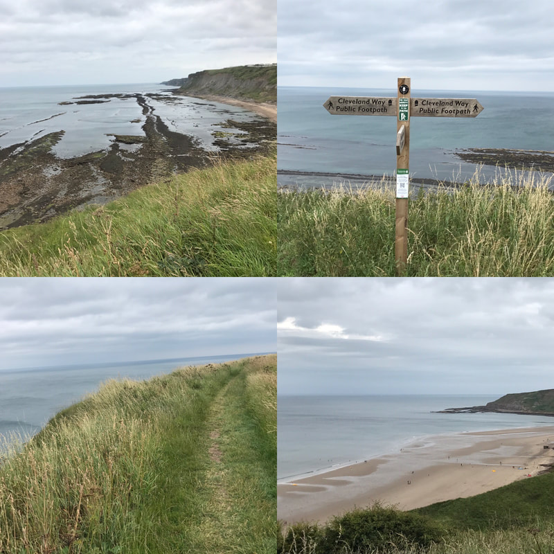
Distance: 10.5 miles (depending on where you start in Scarborough) Terrain: Mostly flat walking on good paths but with several steep hills. Stretches of woodland plus cliff edges most of the way Starting point: Scarborough train station or anywhere along the Scarborough seafront. Parking available at Scarborough train station (pay at meter) This is the last leg of the Cleveland Way, a 108-mile national trail that crosses the North Yorkshire Moors and a long stretch of the North Yorkshire coast. I've walked most legs of the Cleveland Way as day walks or two- day stretches, but I'd yet to do the final leg that runs from Scarborough to Filey. You can either catch a train to Scarborough station or drive there and park next to the station (making it easy to get home on your return). But you can start from any point along the Scarborough seafront. You can even have a dabble on the penny slot machines before you kick off if you like! If you start in North Bay, before the hill with Scarborough castle on it, you will be walking for about an hour before you really start the walk route. Leaving the sandy beaches and promenade behind you, you will climb up a hill where you can admire the views as you catch your breath. Be sure to look behind you to see the bulk of Scarborough Castle looking impressive on the opposite hill. For a stretch of the path, you'll walk alongside a golf course to your right. The sea will remain on your left and in sight for most of the walk. Having waved goodbye to the golfers, you will follow a headland, then go down some steps to a ravine until eventually you have to turn right along a track that takes you past some holiday houses. This bit of the walk isn't particularly lovely. You skirt the holiday homes before connecting with a suburban road. Turn left and follow the road until you see a National Trust sign for Cayton Bay. You follow the steep steps down through woodland then turn right onto a path that leads out of the woods and along a cliff overlooking Cayton Bay, a great spot for surfing. After climbing a hill you reach the road that takes you down to Cayton Bay itself. Here you can pop down to the Beach Shop for snacks if you didn't pack a lunch, or simply use one of the two handily placed benches for a lunch break. Lovely views and a good chance to rest after quite a few unexpected hills. From here you simply follow the cliff top path. Some of the edges are pretty sheer and if you're not a fan of heights (I'm not) simply walk as far from the edge as you can. I really don't like heights but I managed it fine. The views are magnificent the whole way, with thousands of nesting birds swooping and calling. The only thing that detracts from the view are the numerous caravan parks that run along your right hand side. It makes the walk feel less remote and the people traffic also increases near each of the sites. That said, once you've left the last of the caravan sites behind you, the views continue with the white cliffs of Flamborough Head appearing in the distance. There is something about looking at the outline of the English coast that makes me feel inordinately fond of this little island country. It stands so resolute against the sea, despite the waves taking constant bites out of its cliffs. The rooftops of Filey will come into view and eventually you'll reach the sign marking the end of the Cleveland Way. But if you still have energy left, it's worth walking to the end of Filey Brigg, a headland jutting out into the sea. Carr Naze, the landward end of the peninsula had flint tools discovered on it dating back 3 to 4000 years. The Romans also used the headland as a signal station to warn against invaders. You can see why as the headlands to the north and south of it as clearly visible. Once you've had your fill of sea air, head back inland and follow the signs for the town centre until you reach the bus station. Catch the 120 or x20 buses back to Scarborough - they run every 15 to 20 minutes - and will drop you outside the Scarborough train station, ready to catch a train back home or a short walk to your car. A lovely seaside walk with stunning views. Definitely one to add to your list. See the video below for a sense of what it's like. If you would like to meet likeminded women who walk, get walk ideas, advice and inspiration, be sure to join the Glamoraks community. Or sign up to the newsletter.
1 Comment
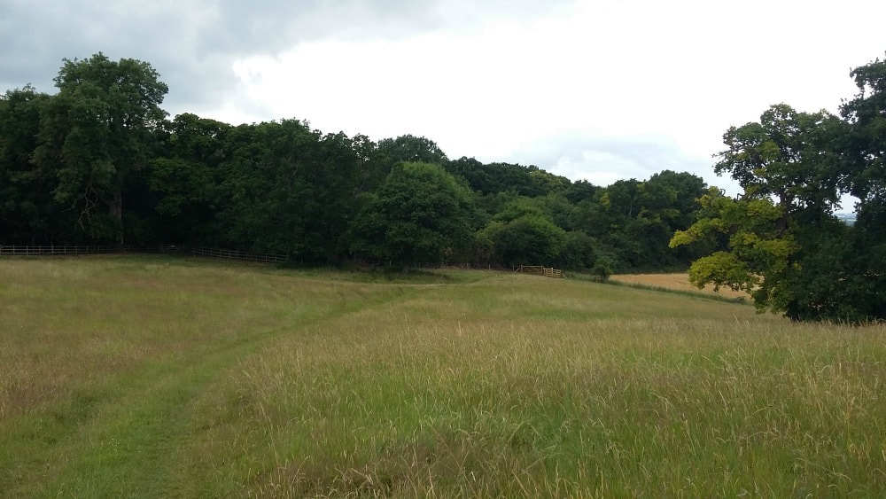
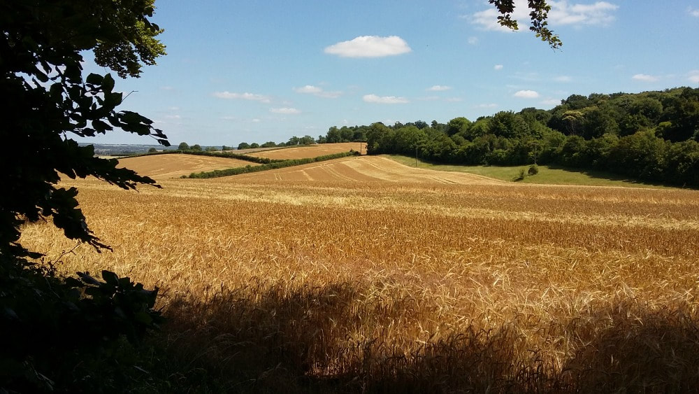
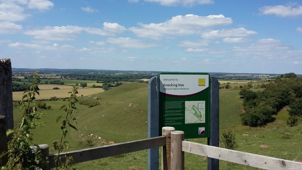
A choice of two short walks on the Hertfordshire and Bedfordshire border, with an abundance of nature regardless of the season. Distance: 3 miles extending to 4 and more. Terrain: easy with some moderately steep climbs. Fields and a bridleway. Height: up to 450 feet. Starting Point: Motte & Bailey Pub, Pirton, nr Hitchin, SG5 3QD You’re getting two walks for the price of one here. Both routes are on the edge of the Chilterns and around 3 miles long. The first is circular, done clockwise or anti-clockwise. The second is straight up the hill to the edge of Knocking Hoe Nature Reserve and back. If you want to extend your walk, you can follow the way marks from this point and go further into Bedfordshire, although an OS map would help! Part of the route is on the Icknield Way, which extends from Dorset to Norfolk and has the claim of being 'the oldest road in Britain' as it is made up of prehistoric pathways. Both walks start in Pirton, a small village forty miles north of London, on the border of Hertfordshire and Bedfordshire. Just thirty minutes by train from Kings Cross, it makes an easy escape from the city and the chance to breathe in some fresh air. Plus you'll get to see a traditional Doomsday village complete with old cottages, two pubs, a duck pond and Highdown House, an old Jacobean mansion with an interesting history. Although this walk is popular with families on Boxing Day, any other time of year you won't typically pass more than a couple of dog walkers making it a good option to escape the hustle and bustle of city life. There are a couple of steep hills peaking at around 450 feet. In summer you can get by with almost any type of shoes, but if it’s been raining you need boots because part of the lane gets muddy. I’ve ended up on my bottom more than once, but thankfully no one saw me. In early autumn there are plenty of blackberries, so take a container or eat as you walk. What’s nicer than a warm, juicy blackberry, straight from the hedge? I walk from my front door as I work mainly from my home in Pirton, but if you're travelling in, park outside the Motte and Bailey pub. If you have caught a train from London, get off at Hitchin Station and get a taxi to the pub in Pirton (it's about a 5 mile trip and will cost approximately £8). From the pub, walk left to the main road to Hitchin, passing a wooden Pirton sign with hands holding straw on your left. In case you're wondering about the straw sign, this walk is part of the Straw Plaiters walk. In the 19th century, Pirton’s women and children collected the straw, from wheat growing on the chalk soil, for the hat making industry in nearby Luton. Cross the road and go straight ahead to Wood Lane, with a large house on your right. You can walk up the shady lane which has a canopy of trees or, for better views, walk along the edge of the field running parallel, where an ‘unofficial’ path has been worn. After a quarter of a mile or so there is a path to your left across the open field (waymarks are here.) Turn left if you want to walk clockwise. Carry straight on for an anticlockwise route, turning sharp left at a wooden seat. Go straight on up the hill for the second walk to Knocking Hoe Nature Reserve. These directions are for the clockwise route. Follow the path over the field and keep right to a kissing gate. Go through the kissing gate and climb the steep hill. Highdown House, a Jacobean mansion once a Cavalier stronghold, is on your left. There is supposedly a ghost in it and a headless horseman who rides across the field on 15 June. As you walk, keep your eyes open for wildlife: free range guinea fowl belonging to the house, muntjac, pheasants, buzzards and roe deer. At the top of the hill pause and look across the fields. You can see for miles and there are usually buzzards circling overhead. This is a great spot for a picnic – a couple of massive old oaks and soft grass. Don’t go to the end of this field, but bear right down the hill to another kissing gate. In spring there are masses of bluebells in the wood to your left - Tingley Wood. (You can’t go in- it’s private – but you can stand at the gate and admire the view.) At the bottom of the hill there’s a wooden seat – a favourite picnic spot for walkers. You’d complete the circuit by turning right. For the second walk, turn left at the seat and continue up the hill. At the top of the hill, bear right towards a wood. Very soon you will see the sign for Knocking Hoe Nature Reserve opposite a seat with a wood behind. There is public access into Knocking Hoe, but the footpath to further routes continues outside the reserve, down the hill, where there are some way markers. These can take you to the B655 road which you cross to access other walks. In the Nature Reserve in summer you will find lots of butterflies and wild flowers, some of them rare. The views are lovely, it’s usually quiet and you can easily find a sheltered spot to eat or drink. Definitely worth the climb to get there!
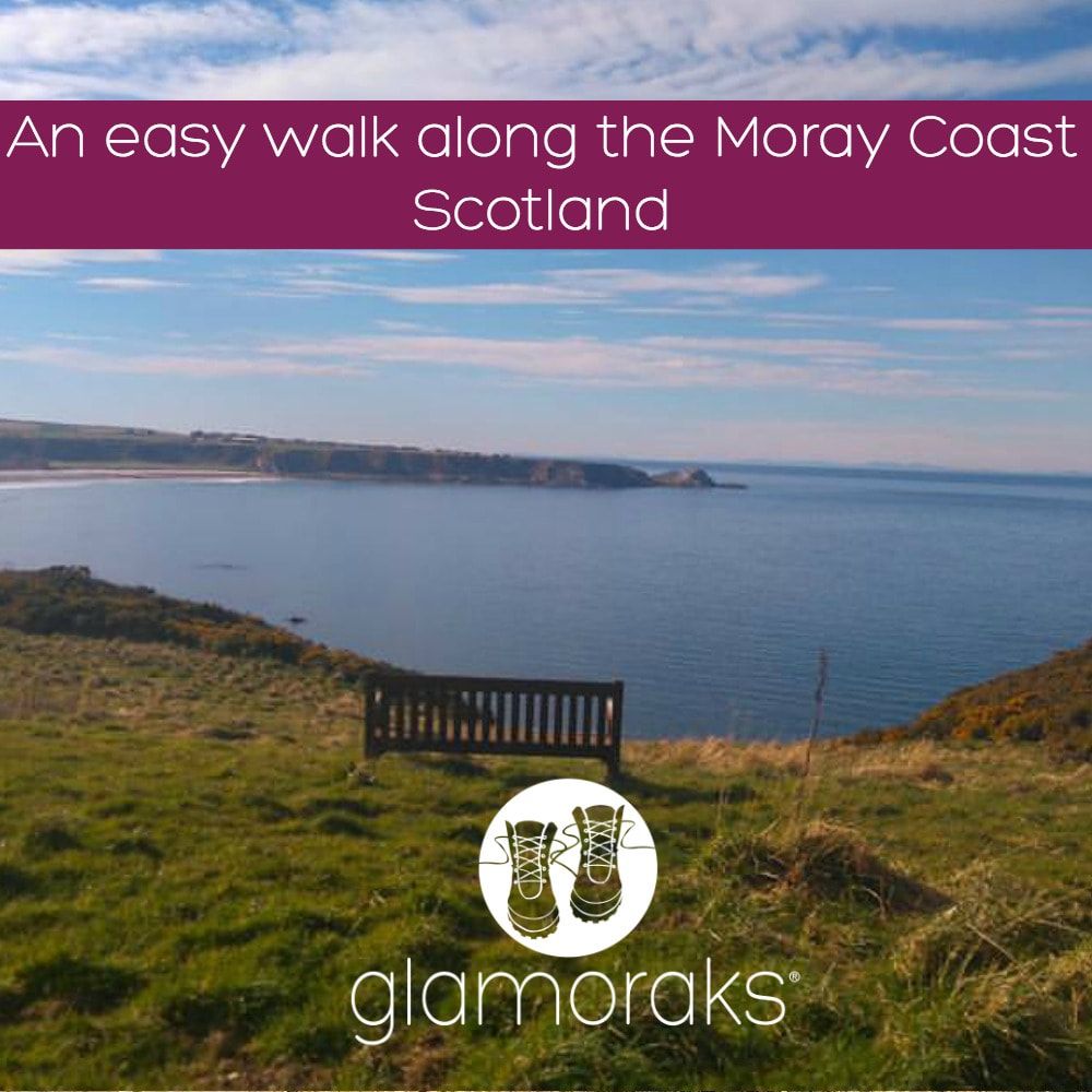
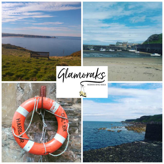
Moray coastal walk (North East of Scotland) Cullen to Findochty Distance: 12km (7.5 miles) Difficulty: easy Type of terrain: beach, cycle path, village streets Start point postcode: Cullen - village square. A98 post code for sat nav would be AB56 Resources: OS Map 425 Everyone needs that one place where they go and all their troubles melt away, a place to think, plan and breathe. Cullen is that place for me and this walk is my go to walk when I just want to chill out. There’s something about the air on the Moray coast. It’s cleaner, fresher and just altogether better. This is an easy walk with no need for any special walking gear. It is along a section of the moray coastal trail of around 12 kilometres taking around 3 hours to complete. The path is on a well-established cycle route and via village streets. I walk a section over the beach, but this can be missed out if you’re not the sand between your toes type. The village of Cullen is where I start this walk. It’s famous as the birth place of the famous Cullen skink soup, which is a delicious creamy fish soup. If you have time for a bowl I would highly recommend it. The village has a few cafes and antique shops to browse. You can park in the village square. Parking here is free and there are public toilets. This is on the A98 post code for sat nav would be AB56. I would walk back up the hill as if heading back out of the village and follow the signs for the caravan park. Once at the caravan park there is a path which leads along the cliffs and towards a view point known as Nelsons Seat. This is a great spot to gaze over the Moray Firth and if you’re lucky perhaps spot a dolphin. From here continue on the path down toward a small rocky beach which on a sunny day is perfect sun trap and has few visitors. Be warned if you fancy a paddle here it’s very rocky and not the safest without some sort of water going footwear. At this point you would have 2 choices you could follow the path on the right which takes you along the cliff side and on to Sunnyside beach and Findlater castle. I have never been able to take this path as I have a fear of heights and find it too much to pass over the narrow path. I therefore take the path round to the left and if you follow this you will head back to Cullen. Just before you re-enter the village you pass a small pet cemetery. I find this quite a touching place to have a look around and a reminder of how special our animal friends can be. Once back in the village I follow the street past the harbour and head towards the beach. You will see the rock formations known as the Three Kings and then walk along the beach. There is a path just off the beach which heads through the golf course that connects to the main cycle route. Then follow the cycle path to the village of Portknockie and onwards to Findochty. Once in Portknockie you head off the cycle path. The next part of the cycle path is signed posted, follow these through the village and admire the lovely village homes before picking up the cycle path again to Findochty. This section is quite exposed to in parts and can be cold on a windy day but has amazing sea views. The path continues on past Findochty to Buckie and Spey Bay and beyond. My last visit to this route was early spring and I left it a little late to continue along the path, on reaching Findochty I took the same route back to Cullen and ended the day with a lovely coffee and brownie in the Rockpool café. Want to meet other women who love to walk? Join Glamoraks.  This post was contributed by Glamorak Linda Chessor I’m 43 years old. I live in the north east of Scotland. I do mainly coastal or forest walks. I'm not the best at hills, but do attempt them now and again. My sister is lucky enough to live in the Cairngorms so she does occasionally get me up a hill. I'm a nurse and work 12 hour shifts, so walking for me is the best way to unwind from work and gives me four days most week to get out and about weather permitting. I occasionally walk with my www.borrowmydoggy.co.uk friends Bix and Hunter. Five years ago a man called Alastair Humphreys gave the speech day address at my children's school. He was on a mission to get people to have microadventures - a mini adventure that you can fit into every day life. It should challenge you and push you out of your comfort zone but still be achievable. That speech inspired me and soon afterwards I started walking, having my first microadventure when I set off walking 14 miles on my own and staying in a hostel. Since then I've gone on to have plenty of adventures, but I had yet to wild camp. So when I saw that Alastair was running his Summer Solstice Microadventure challenge, I knew it was time to push my comfort zone a little bit further. My plan had been to go wild camping on the summer solstice (21 June) but despite having arranged childcare and having my bag fully packed, the Met Office put out a yellow warning for thunder, lightning, gales and very heavy rain showers with the potential for localised flooding. That didn't sound particularly sensible to be camping in, particularly on the top of a hill. I had to put my plans on hold and wait for better weather. Last night that weather arrived. Once again I packed and this time headed off, leaving my husband and children at home, all three thinking I was daft in the head. My microadventure would see me do three things I'd never done before: 1. Carry all the kit I needed on my back for an overnight stay 2. Wild camp 3. Camp on my own My comfort zone was going to be well and truly pushed. But too many women - particularly mothers and those whose 20s and early 30s are well behind them - spend their lives observing life through their kids or doing things for others instead of experiencing life first hand. I'm on a mission to change that and I can't tell others to do it if I don't do it myself. But first things first..... Where to wild camp?My biggest challenge with wild camping was trying to find somewhere to go. In England, legally you are not allowed to camp anywhere you like. You're supposed to get the land owner's permission. But that can be very tricky to do and it spoils the spontaneity of it. The advice is to find somewhere tucked away, out of view, don't make fires and don't leave anything behind. Arrive late, leave early and no-one will be any the wiser. I spent a good amount of time trying to find a suitable spot by looking at maps. I wanted somewhere remote, but not so remote that if anything happened I'd be in tricky spot. I didn't want to run the chance of bumping into people. I wanted views and it had to be not too far from my home in York. After doing some research, I found the very spot in a secret location on the North Yorkshire Moors. It was 50 minutes drive away, was a short walk from a pub/civilisation, but was remote enough to not be found. And it had stunning views. Next challenge..... What to take wild camping?Here's what I took. You could get away with less:
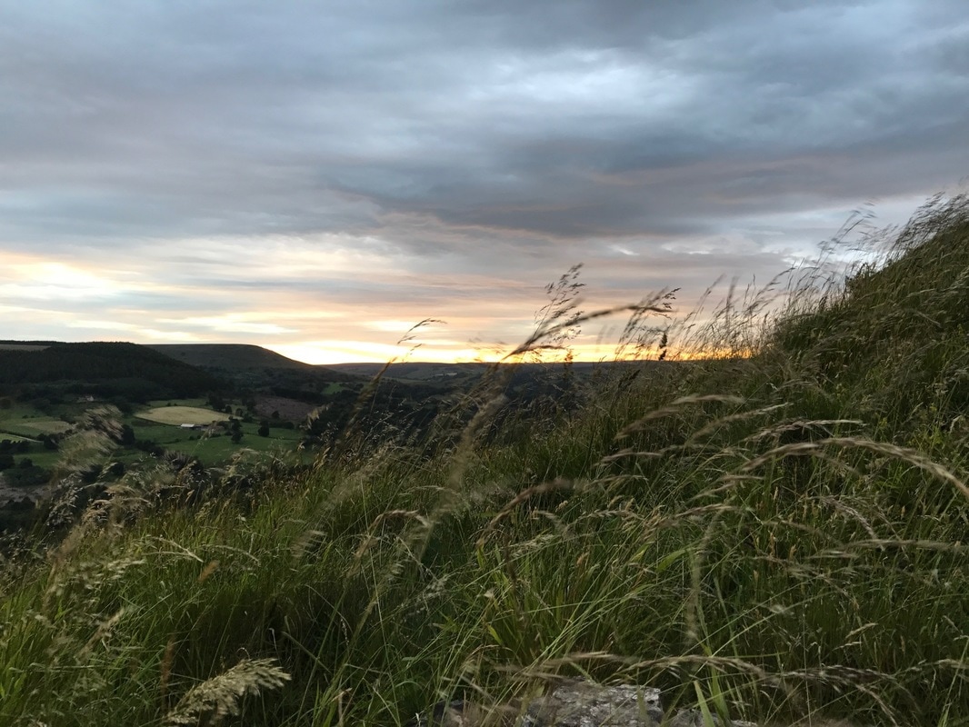
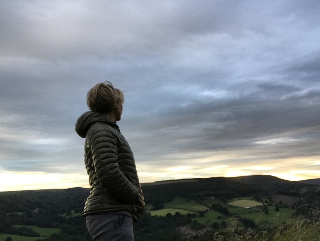
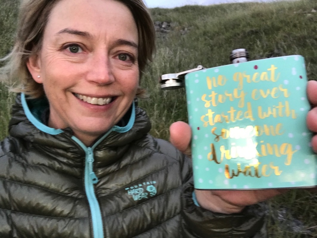
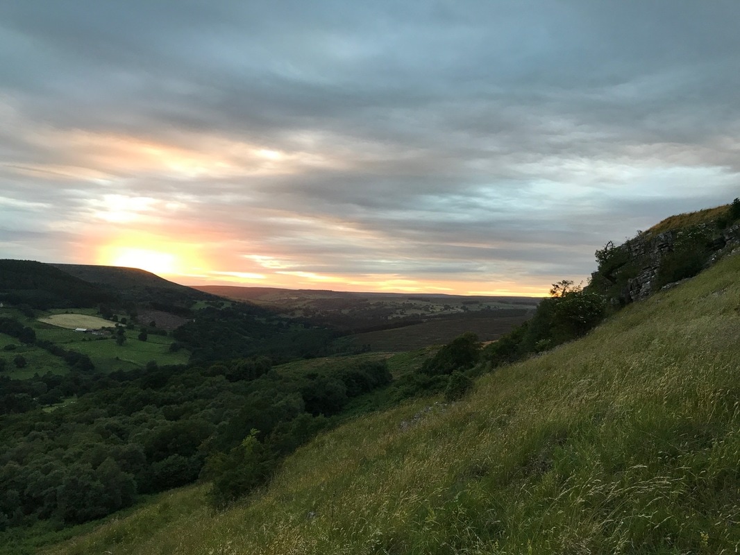
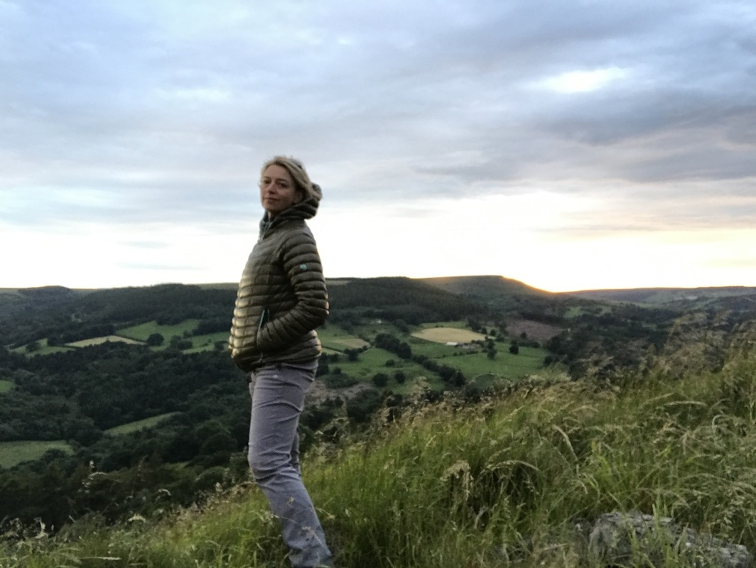
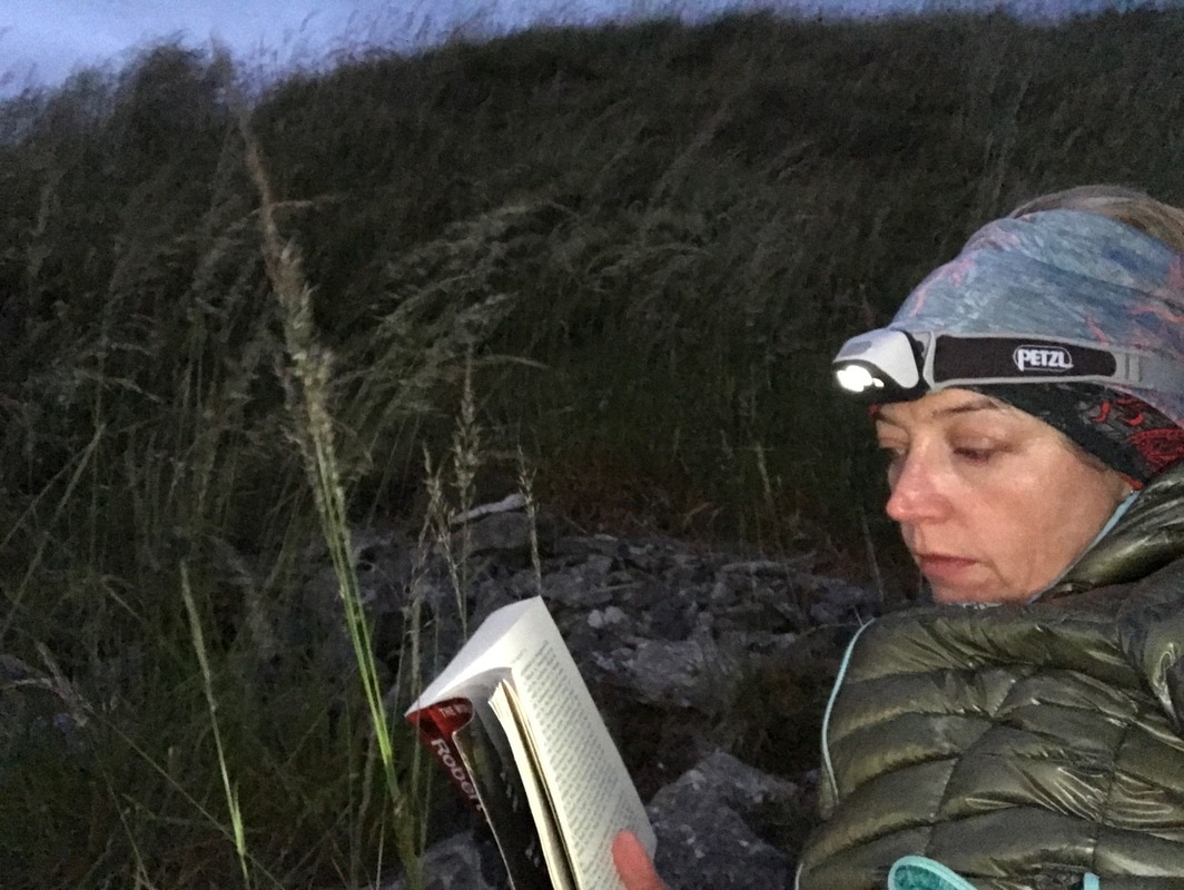
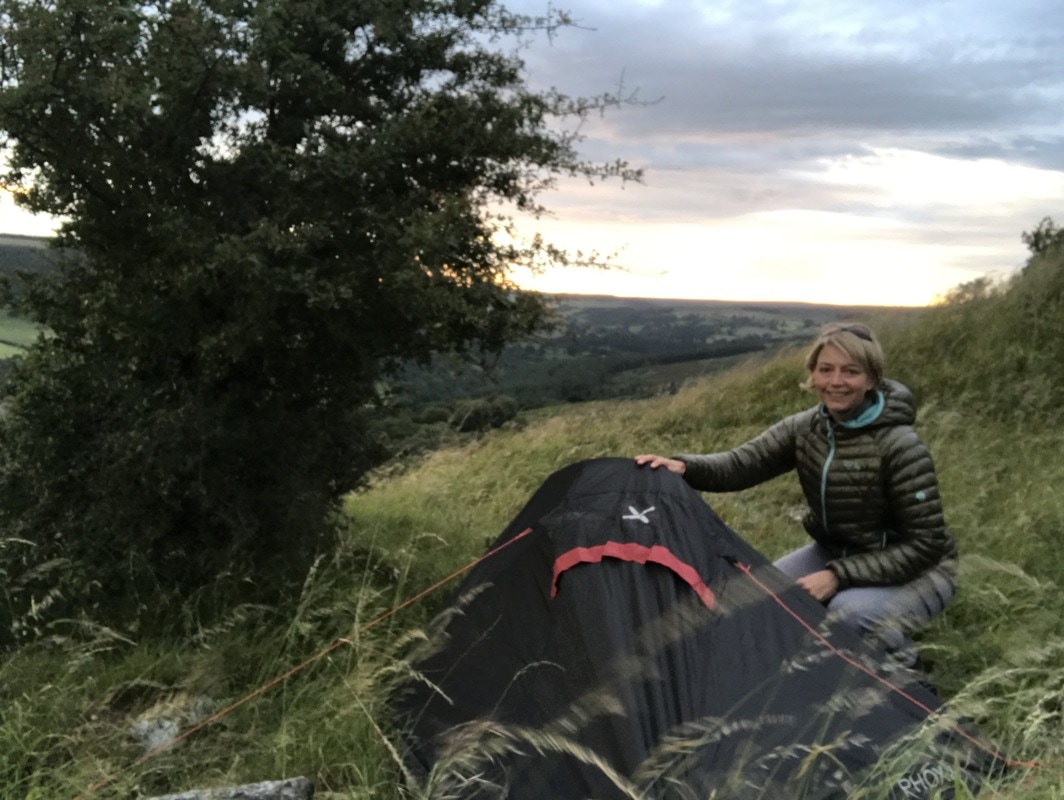
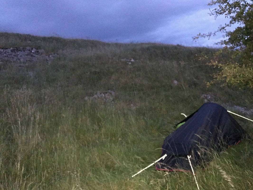
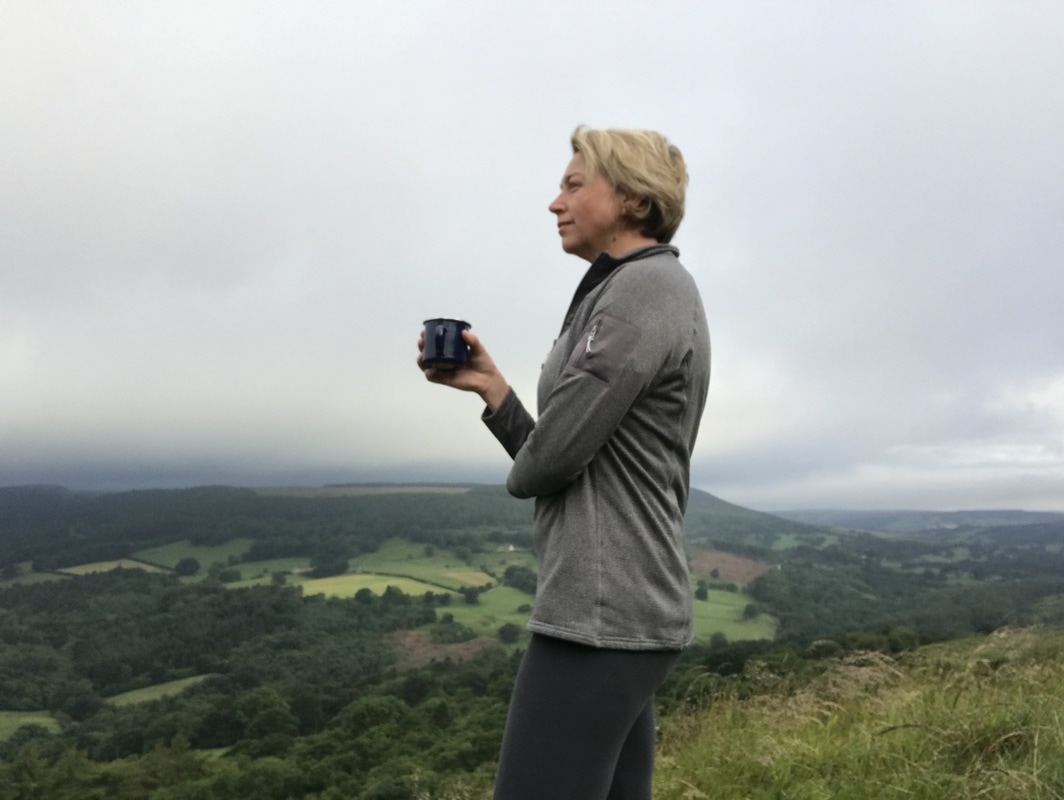
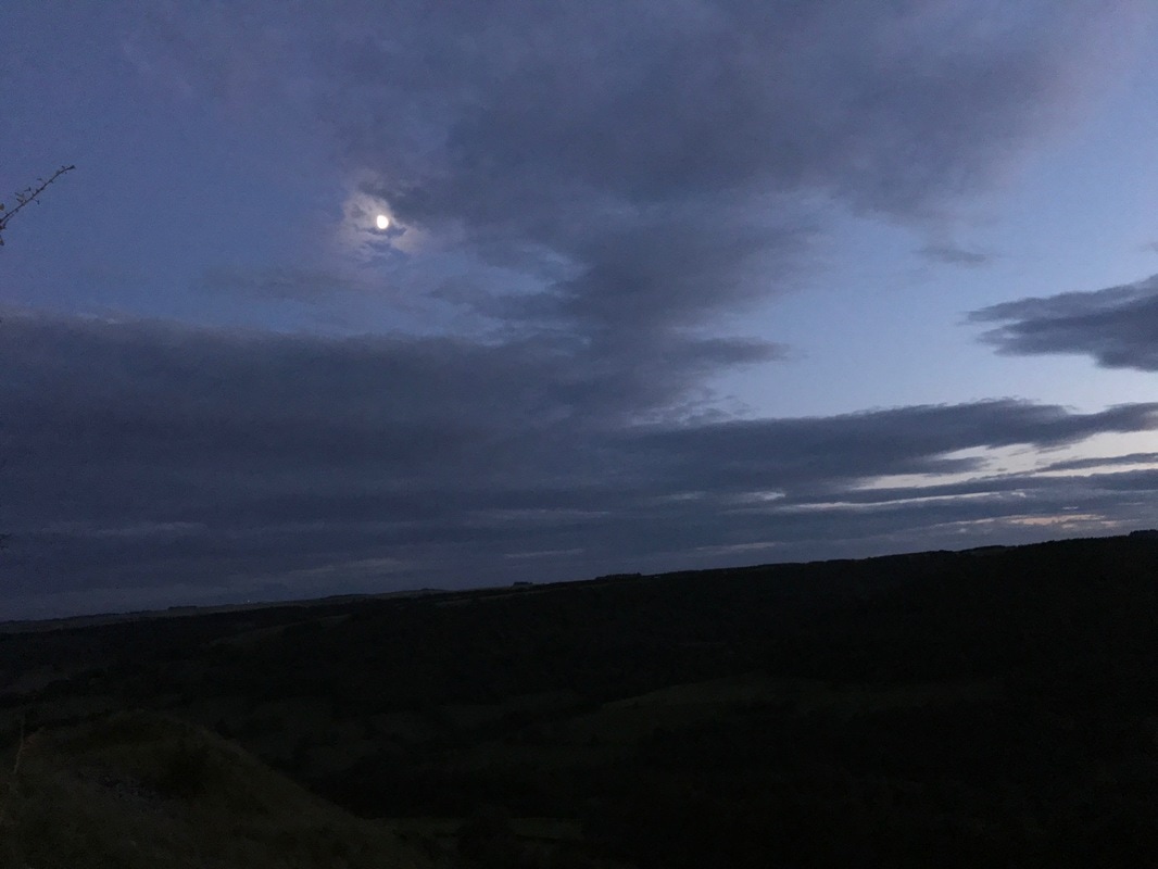
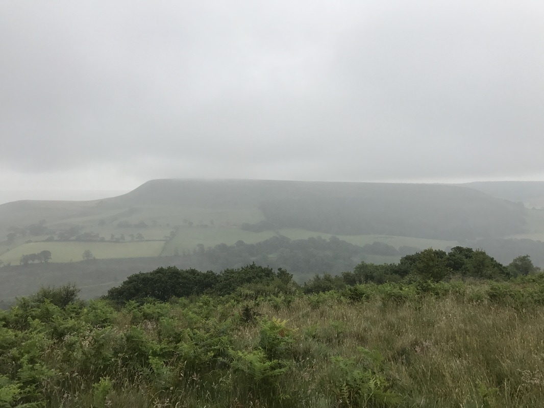
My MicroadventureI set off from York at 6.20pm on a Sunday evening and drove north, towards the moors before arriving 50 minutes later in the exceptionally quaint hamlet, closest to my chosen destination. I knew it had an Inn, but I hadn't realised it also had a tiny tearoom and shop, which amazingly was open at 7.15pm on a Sunday evening. I popped in for my crisps and chocolate bar and asked for directions. She pointed out the general direction to me and said I could park my car behind the village hall. That was handy to know as there is nowhere else suitable to leave your car overnight. I tucked mine out of sight behind the hall and set off up the hill. I began my short brutal walk - only about 15 minutes but straight up - before I was on the top of the hill with magnificent views on all sides. I followed the path along the ridge line, looking for somewhere to make camp. I reach the cairn on the hill summit and noticed several dips off to the left hand side just before the cairn. They would be out of sight of anyone on the path and out of sight of anyone below. They were also slightly less exposed to the wind than on the very top. Because the thing about hills is that they're high up and therefore windy! I chose a little dip that had a tiny tree for a bit more shelter and attempted to pitch my tent. This proved a challenge as the ground had a layer of soft spongy moss to lie on, but a layer of solid rock just beneath it, making it impossible to get the pegs to grip. But I finally managed it and rewarded myself with my glass of red wine and an exceptional sunset. It truly was magnificent. The bright daylight had transformed into an array of purples, pinks, corals and golds. Every five minutes it would change, each more stunning than the last. It hit me that the sun setting really is an artistic masterpiece that is available for free every day to every person - you just have to step away from your screens and head outdoors. I watched the wind blow through the grass, saw birds swooping for a late supper of bugs and heard their night time calls, while sheep far below were baaing to their lambs. It was truly magical. Unlike an inside space, the great outdoors is always moving, whether it's clouds scudding past or long grass waving, there is a sense of perpetual movement. As the night sky darkened, it seemed as though the stars themselves were racing across the sky, but it was just a trick played by the clouds rushing along. I tried to read my book, taking nips of cherry liqueur as it grew colder, but my attention kept getting distracted by the view. Just after 11pm I decided to retire. It was a battle between my closing eyelids and my desire to wait until it got truly dark. But my eyelids won and I slunk into my tent and fell asleep instantly. I'm not sure what time it was, but possibly 1am I woke to the sound of wind howling around the tent. Having pitched next to a tree for shelter, the wind sounded even louder as it funnelled its way through the branches. I lay listening to it a while, wondering if my tent would take off, with its poorly secured pegs. I must have drifted off again as I had a really odd dream about an adventurer (a real life one who I know) who was shaking me awake. In my dream I sat up and said, 'Oh, I thought I was dreaming but here you are.' We had a good long chat. It seemed so real that when I eventually did wake up in the morning, I was surprised that he was no longer there. About 4am the rain started to come down but the sound was soporific and I went back to sleep until 6am. I woke to a very wet morning. A brief respite in the rain meant I could make a cup of coffee, have my sandwich and pack up before it started again. I just managed to get everything put away when the heavens opened. I bid a hasty farewell to my campsite, making sure I'd left nothing behind. The only trace that I had been there was a slightly flattened bit of grass. I headed back the way I'd come the day before. Any plans for a longer walk home were binned as the water poured down the back of my neck. I'd failed to pack waterproofs! It was a brilliantly refreshing start to the day. Instead of chivvying kids into uniforms or sitting in traffic, I got rain pelting my face, sheep to yell good morning to and views of rolling green hills. So would I recommend it?Hell yes. It seems much more scary in the planning than it actually is to do it. I loved going on my own as there is something beautiful about solitude. But I can imagine that going with a friend would have a completely different feel and would be a lot of fun. If you want to feel alive and come home grinning from ear to ear, go wild camping. It doesn't matter how old your are or that you're a woman (it's not just for blokes!). Go have a microadventure. You'll be so glad you did. Watch the video below for a taste of what it was like. And if you'd like to meet other likeminded ladies who love to walk and adventures, join the Glamoraks community. |
Categories
All
Archives
July 2024
|
Get social. Follow us.
|
Don't get left out.
Add your email to be alerted about any Glamorak events, walks, get togethers, challenges or news.
Success! Now check your email to confirm your subscription.


 RSS Feed