|
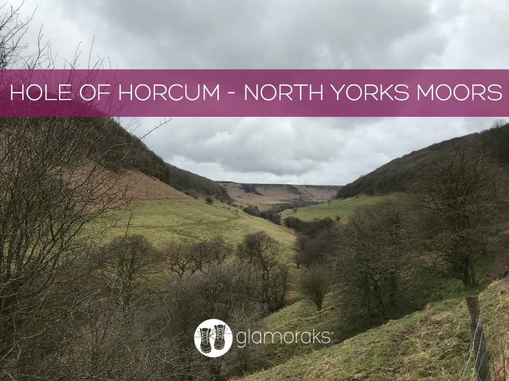
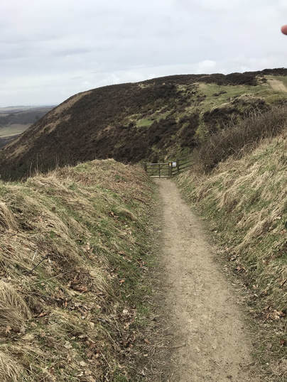
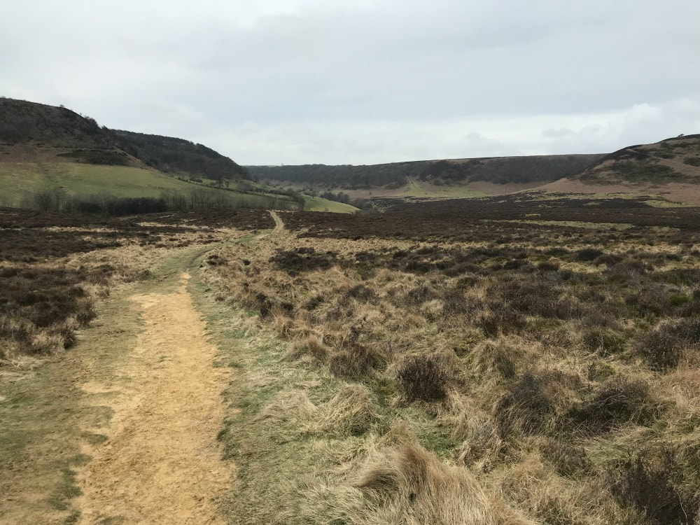
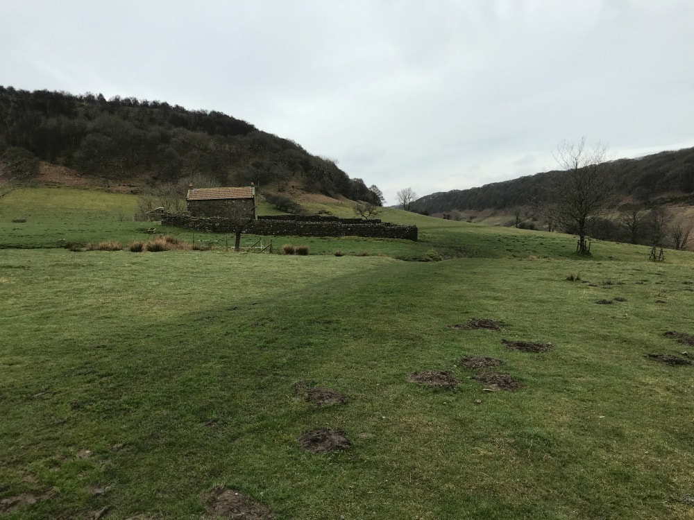
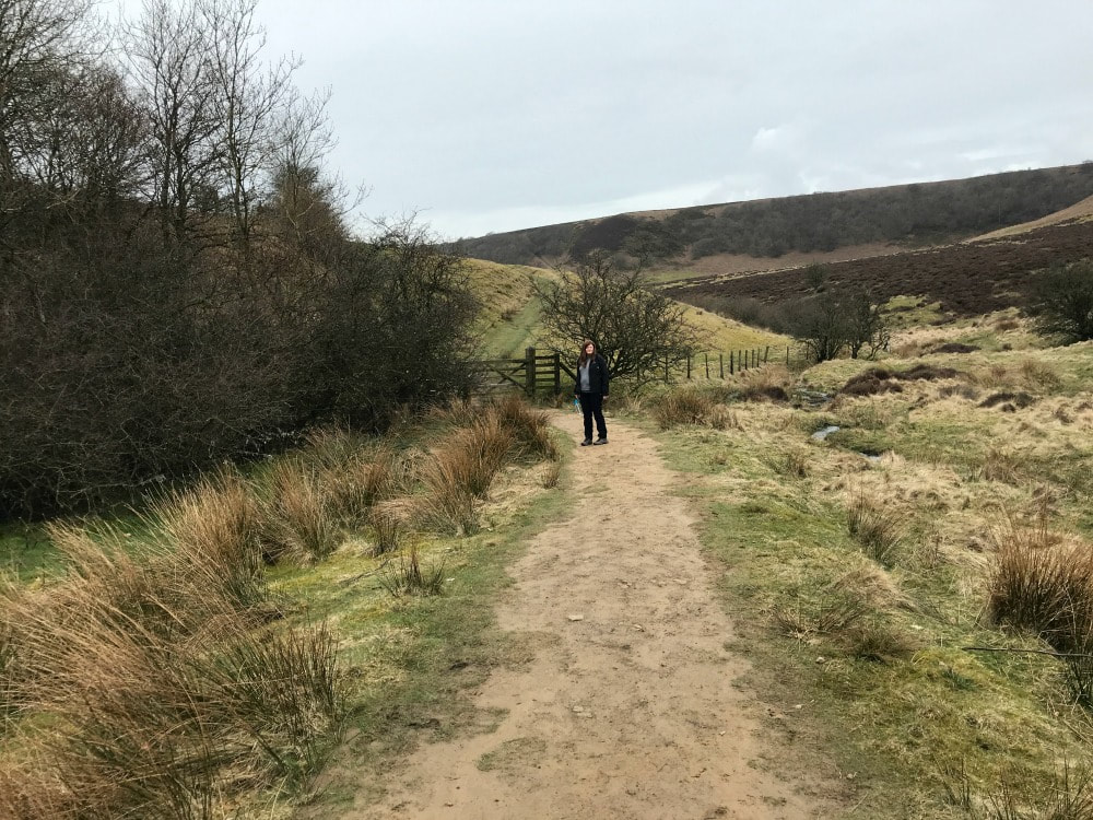
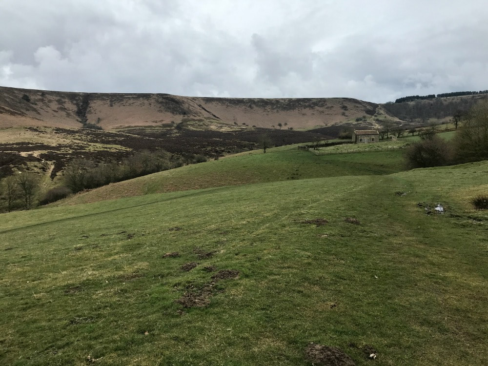
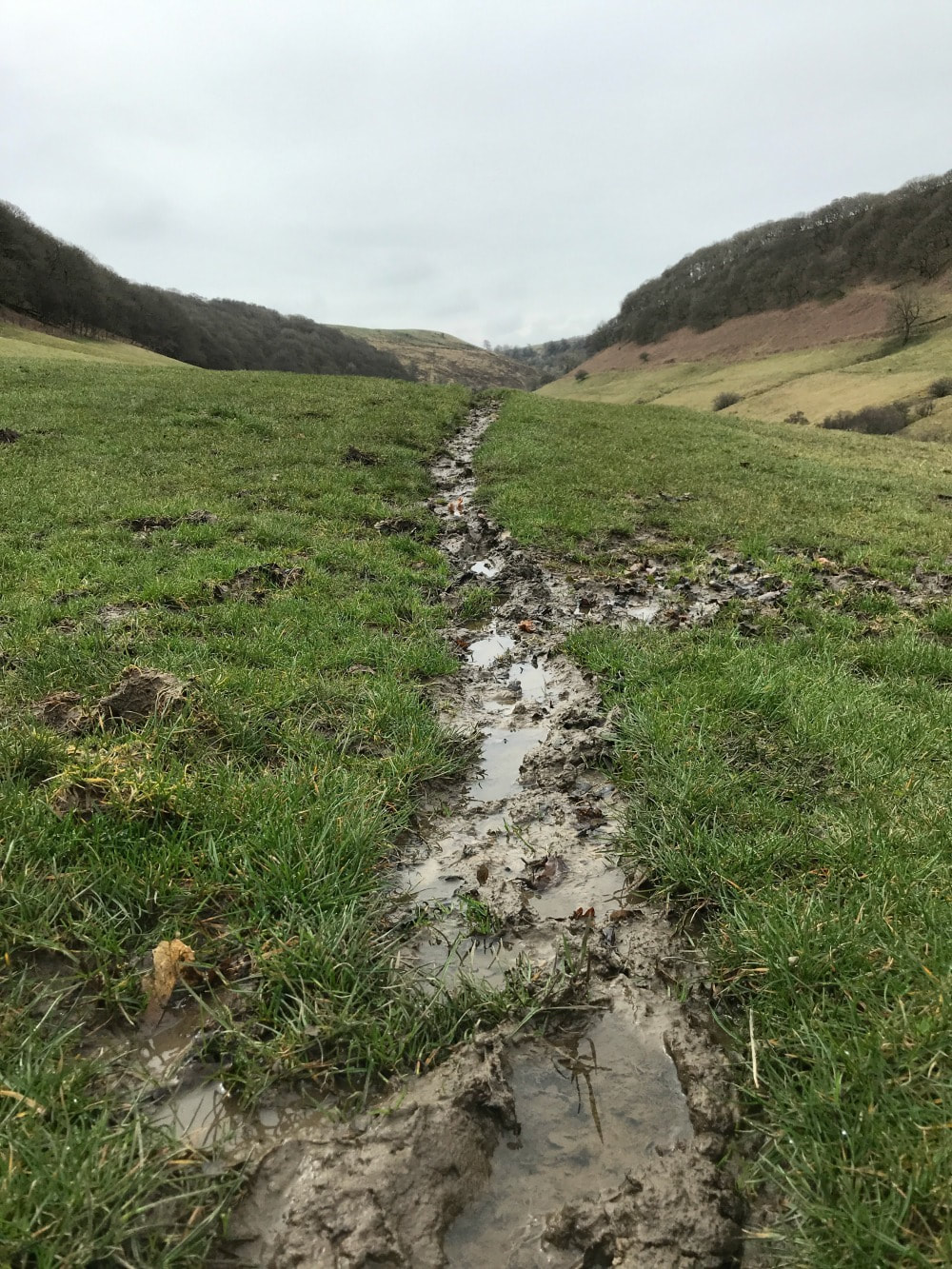
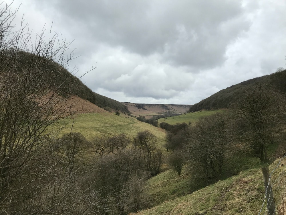
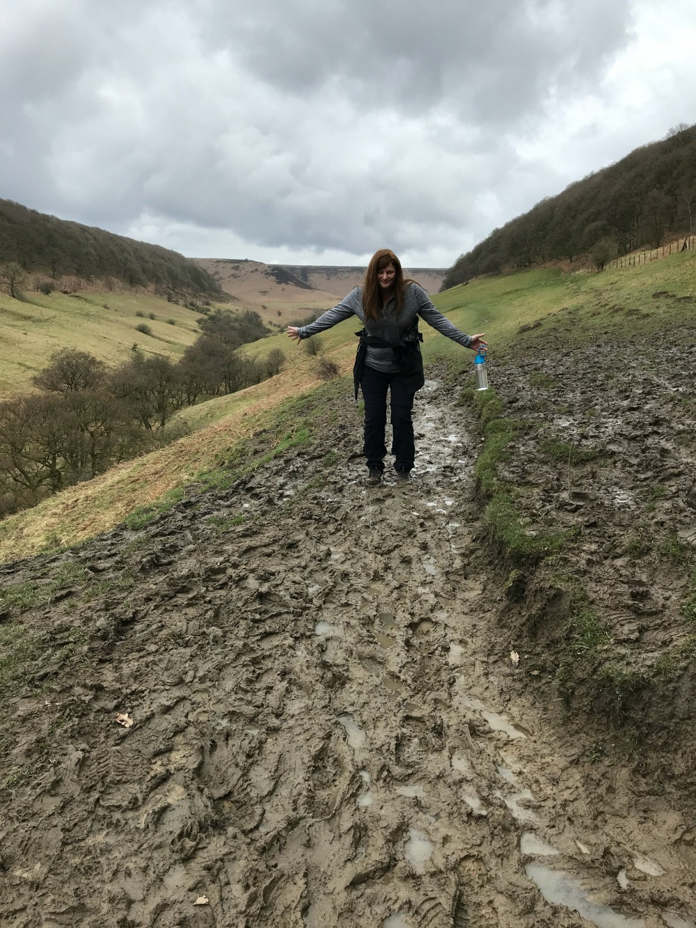
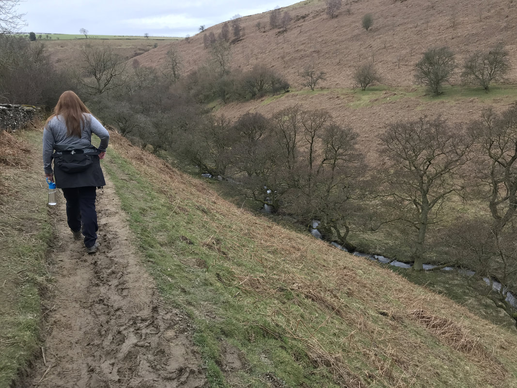
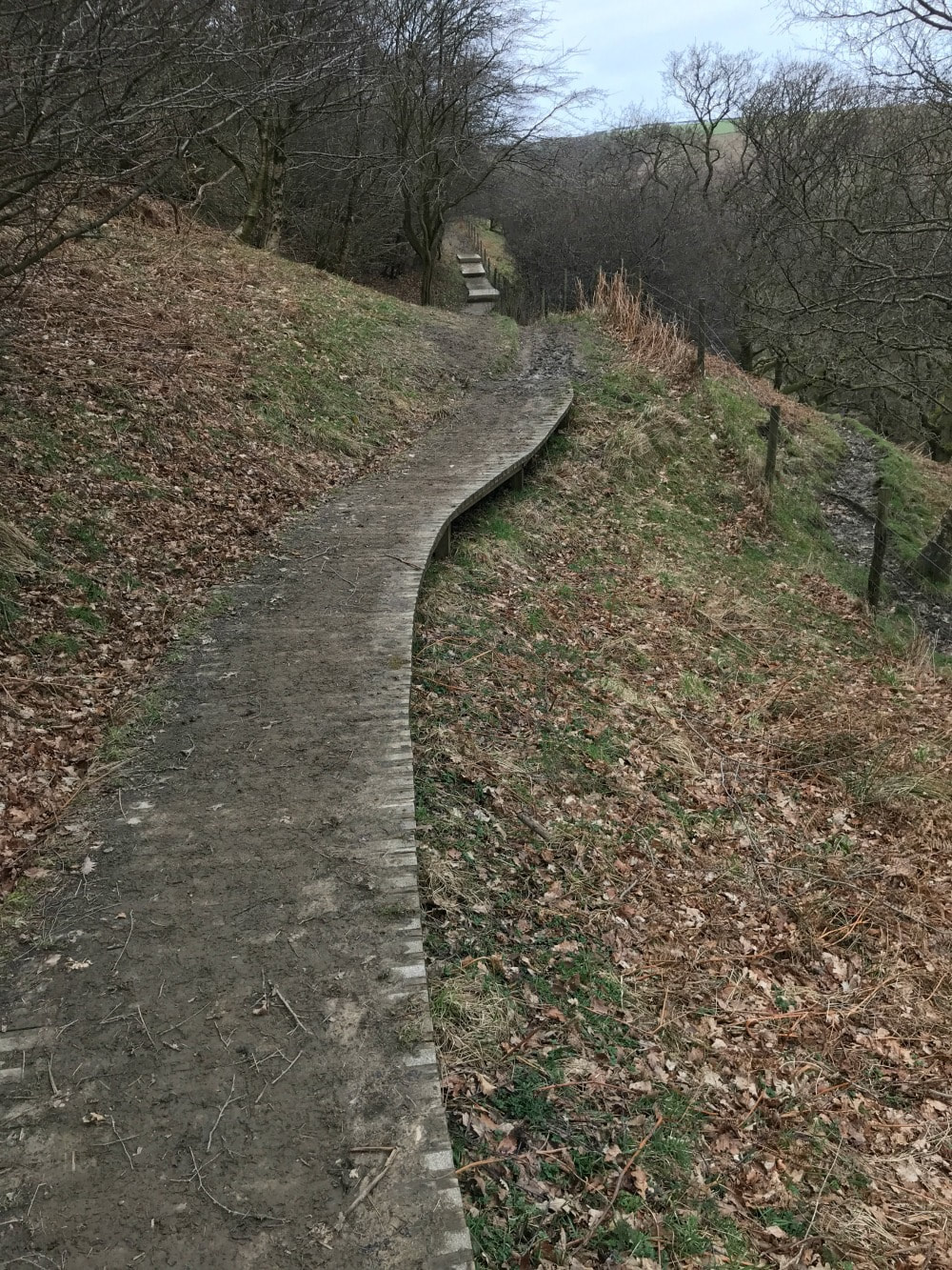
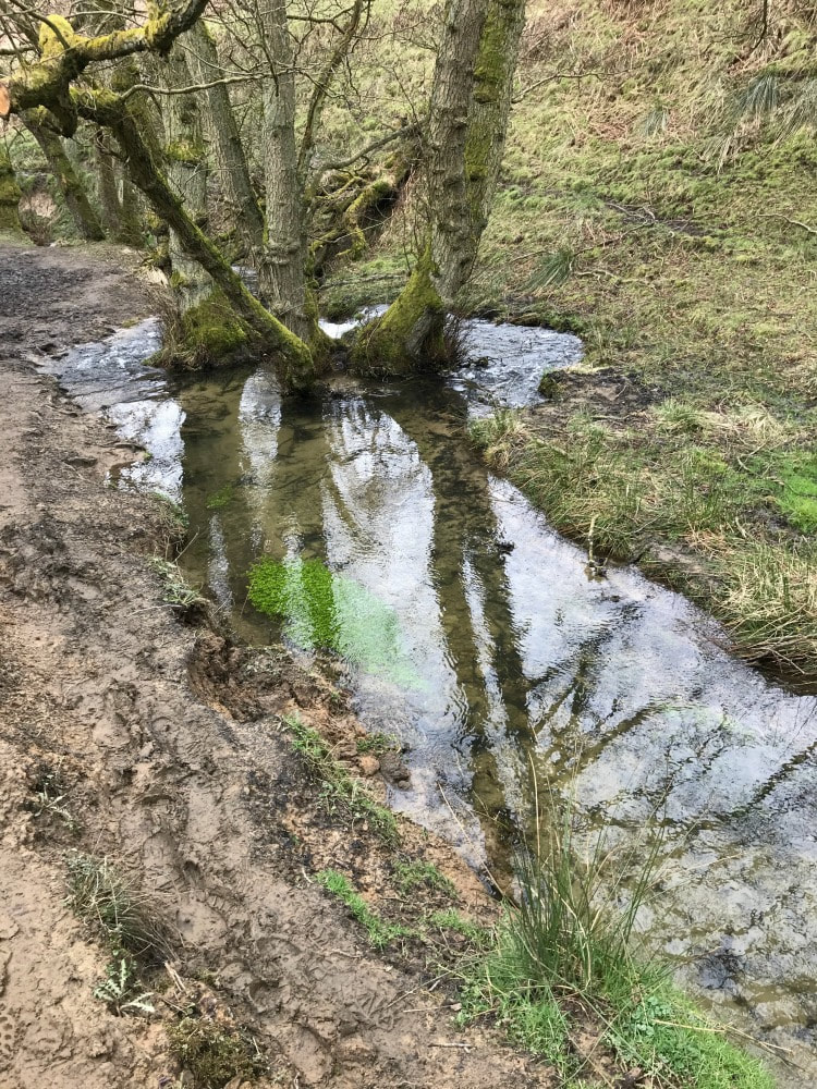
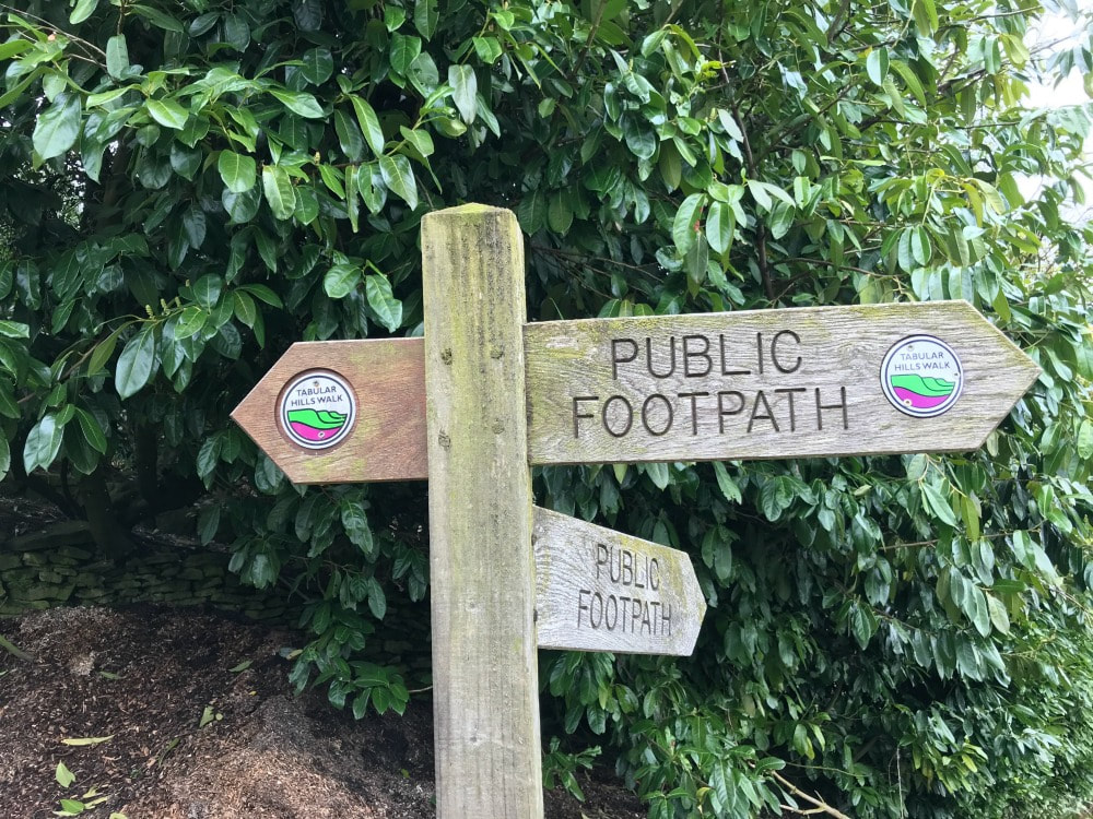
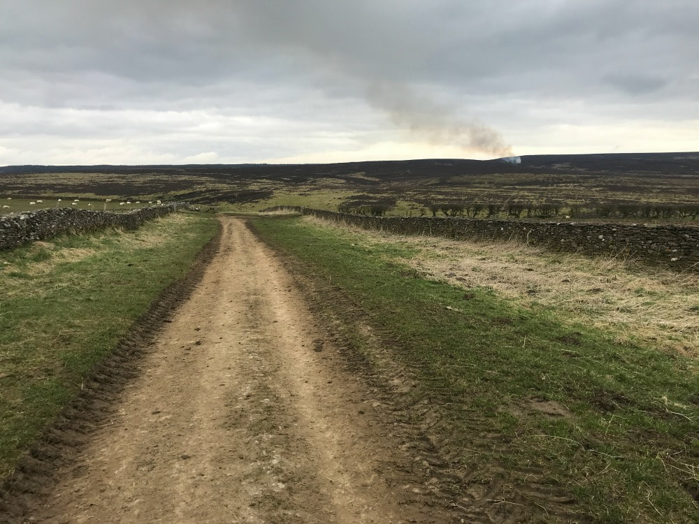
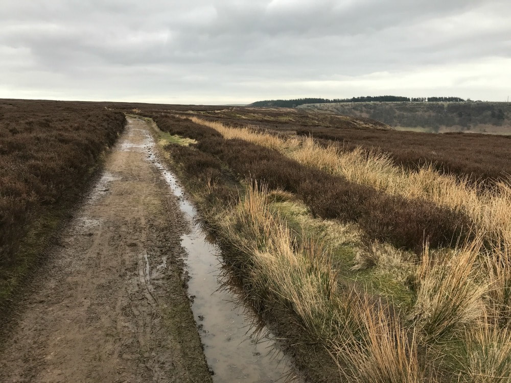
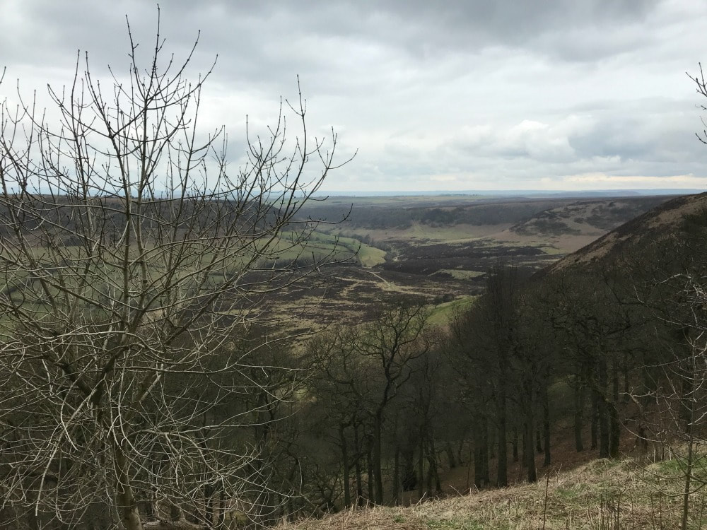
Start and end point: Hole of Horcum carpark off A169 postcode YO18 7NR Terrain: Muddy paths, moorland Hills: A steep climb in and out but otherwise reasonably flat Refreshments: The Horseshoe Pub in Levisham Distance: Approx 7 miles The Hole of Horcum is a section of the valley of Levisham Beck and is part of the Tabular Hills walk in the North York Moors National Park, in Northern England. The 'hole' is 400 feet deep and is approximately 3⁄4 mile (1.2 km) across. Local legend has it that the punchbowl feature was created when Wade the Giant scooped up a handful of earth to throw as his wife during an argument. (Perhaps his wife had suggested that she was heading out for another weekend of walking....) According to Wikipedia: The Hole was actually created by a process called spring-sapping, where water welling up from the hillside gradually undermined the slopes above, eating the rocks away grain by grain. Over thousands of years, a once narrow valley widened and deepened into an enormous cauldron – and the process still continues today. The walk is lovely - roughly 7 miles. It's a circular walk and I've walked it both ways. You can start either at the car park off the A169 (Saltergate - postcode YO18 7NR) or in the village of Levisham. But I personally prefer to park in the carpark because it means you can stop half-way round for a pint of something cold at The Horseshoe Inn. You can walk it clockwise or anticlockwise. CLOCKWISE ROUTE The view are probably best if you walk counter clockwise from the carpark. But as I most recently walked it clockwise and my images are of those views, I am going to write it as the clockwise route. Cross the A169 with care, then follow the waymarked path. Where the path splits to go left and down into the punchbowl or right and along the moors, go left and downhill. Follow the path down and just keep walking. Once at the bottom, keep walking along the base of the punchbowl following the clear path. You will go over a stile and will eventually get to a bit where an old farm building sits. At this point, turn back and look at the majestic view. Keep following the path, sticking to the low path. If you find that your path starts to lead up a hill, you are going wrong and will end up in Lockton - not where you want to be. Stick to the low path that is closer to the stream. Follow the increasingly muddy track, along some wooden boards, getting closer and closer to the stream until eventually you cross it by a little bridge. Shortly thereafter as you start to climb, you will find a sign post pointing you in various directions. Take the one going straight ahead to Levisham. If you want a shorter walk, you can take the sign to the right to Dundale Pond and return back along the moors, skipping out Levisham. 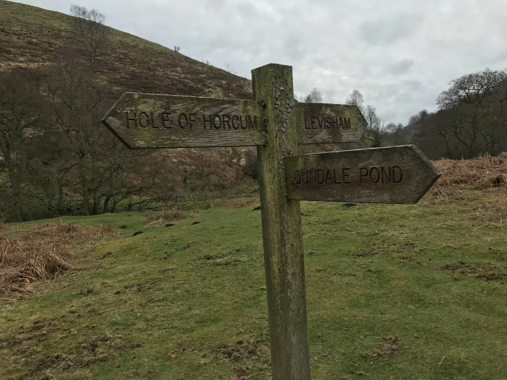 You follow a increasingly narrow path as you make your way up the hill and through woods until you reach the road at Levisham village. You'll see this waymarker sign and a bench. Turn right up the road and you'll see the Horseshoe pub. I can recommend the chips! Once you're revived, keep walking in the same direction past the right hand side of the pub. Follow the farm track until you go through a gate. This takes you onto the moorland path. Just keep following it back in the direction of carpark. You will at one point arrive at a 4-way junction signpost - keep going straight on without turning left or right. This is where the early path sign-posted to Dundale Pond would bring you to. The walk is straight-forward now across the moors, with the carpark coming into view. After a final stile, you climb the hill back to the carpark and you're done! Be sure to look back across the punchbowl for a final view. This is a relatively easy walk with some hills. It's a good one to do with older kids. If you do it with a dog, be aware that there are sheep grazing so they will need to be kept on a lead.
If you'd like to find other women to go walking with, join Glamoraks. It's free.
0 Comments
Leave a Reply. |
Categories
All
Archives
July 2024
|
Get social. Follow us.
|
Don't get left out.
Add your email to be alerted about any Glamorak events, walks, get togethers, challenges or news.
Success! Now check your email to confirm your subscription.

 RSS Feed