|
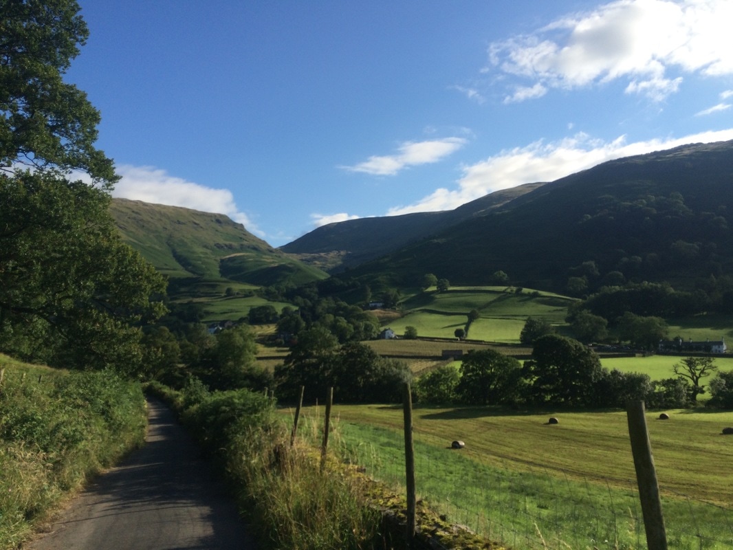
Distance: 8.5 miles This was the shortest and easiest day on the walk, according to the book. We had a choice of three routes: Option 1: The easy valley walk Option 2: The middle way going up St Sunday's Crag (lovely views) Option 3: The long, high, terrifying route along Striding Edge and Helvellyn (need new pants afterwards) If you have any done exercise of any kind that you're not used to, you will know that it's not the day after you exercise that hurts. It's the day after that. And if you happen to exercise even harder on this second day, it spills over into day 3. So by day 4 we hurt. A lot. Our feet in particular were feeling it. We used a magic physio stick every morning and evening to massage our legs and feet, but even this diligence couldn't stop the pain we had in our feet after being on them solidly for three days. So as we perused our options of which route to take, we were both in ready agreement that we should take the easy route, not least because we had a mega day to follow. We tucked into our full English with gusto before bidding farewell to our hostel and heading out into glorious sunshine. For about 20 minutes we walked past farms along flatish terrain but this is the Coast to Coast, which apparently means every day starts with a mega climb. This day was no exception.
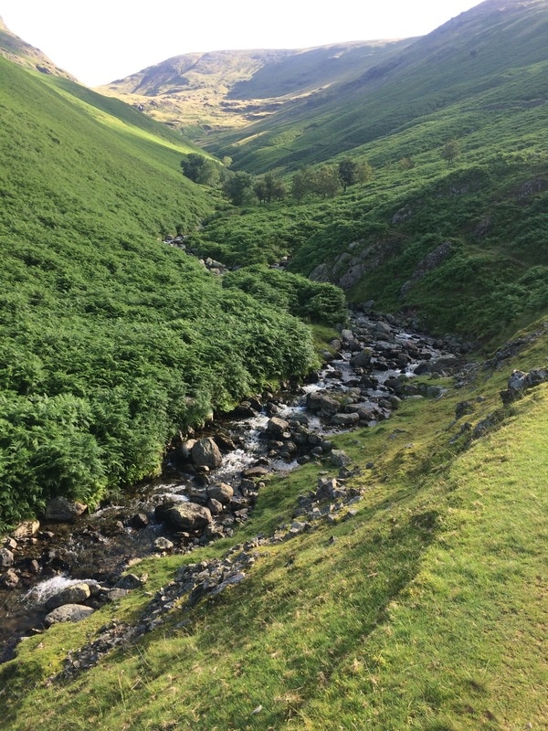
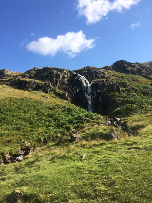
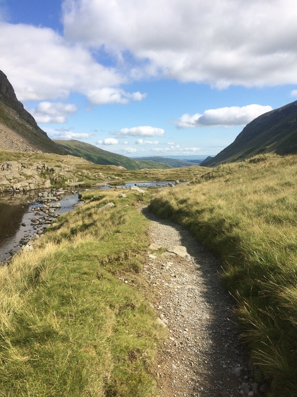
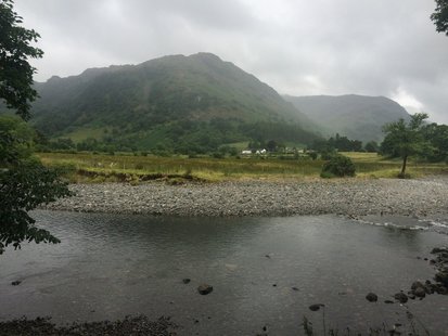
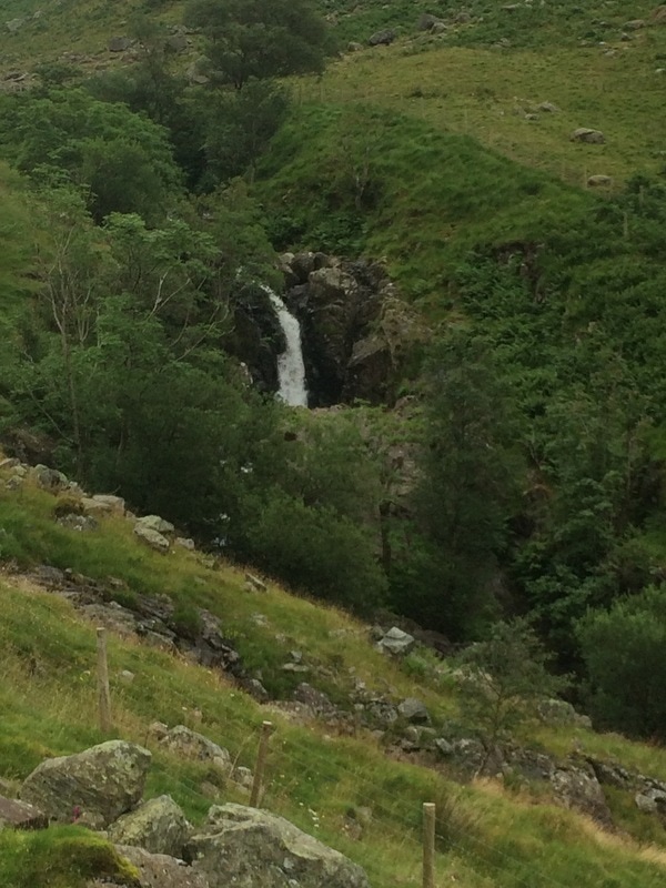
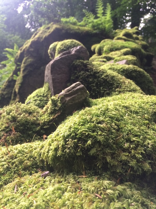
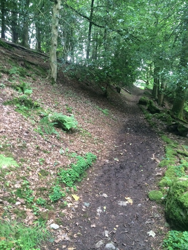
We entered a beautiful valley with a bubbling stream and ferns aplenty . In the morning sunshine it was glorious. However, we were quickly stripping off as the climb continued up and up. Mr Stedman's name was being taken in vain once again as he had described it as a 'simple walk' in his book. We eventually got close to top where we admired the spectacular view behind us, cooled off in a lovely waterfall and then climbed a steep track to finally crest the hill. One of the amazing things about walking long distance is the ability to look behind you and see how far you have come.
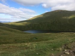
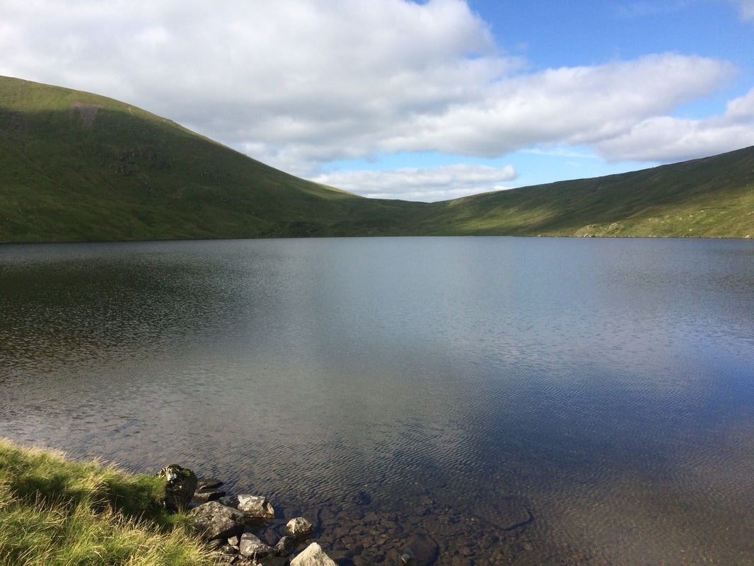
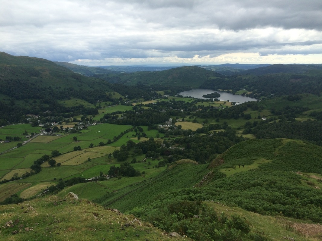
Leaving the valley views behind us, we didn't have to wait long for the next bit of jaw dropping scenery. As we crested the hill we could see Grisedale Tarn shimmering in the sunshine ahead of us. Some of the crazy campers, as they came to be known, had wild camped there the night before. What a beautiful place to wake up in the morning. This really felt so remote and untouched, the way the world should be.
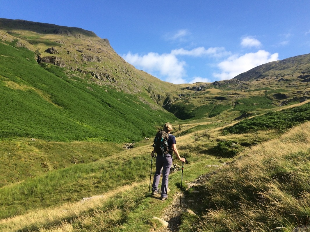
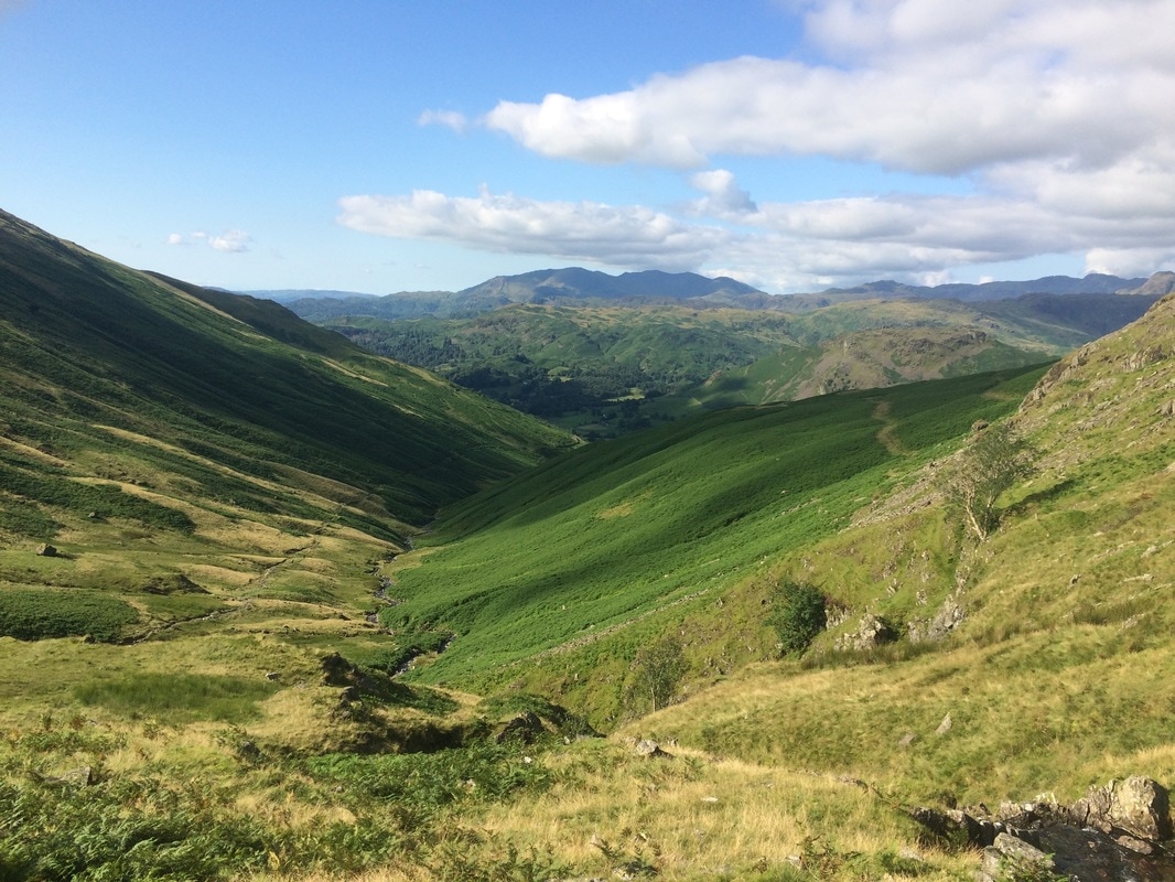
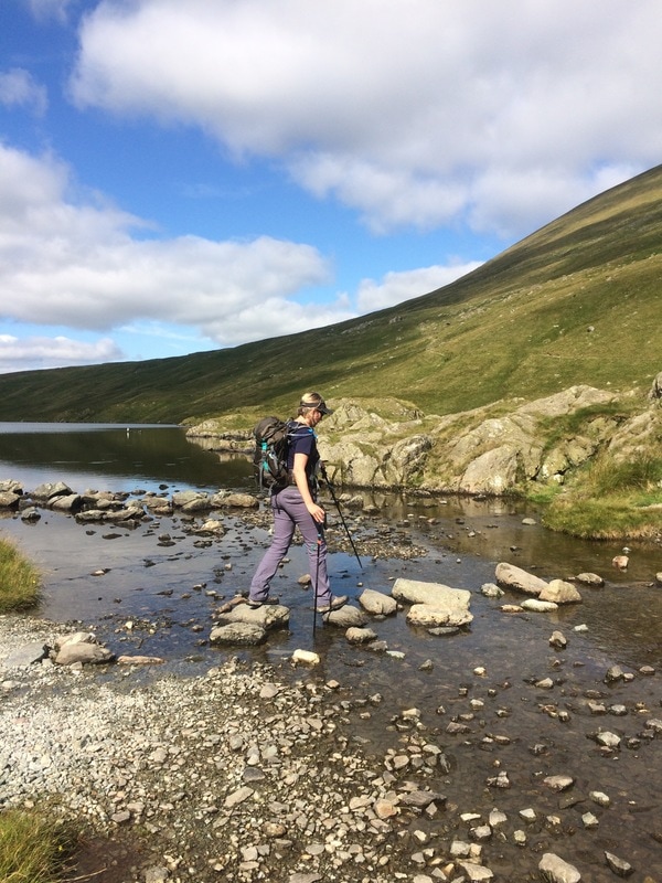
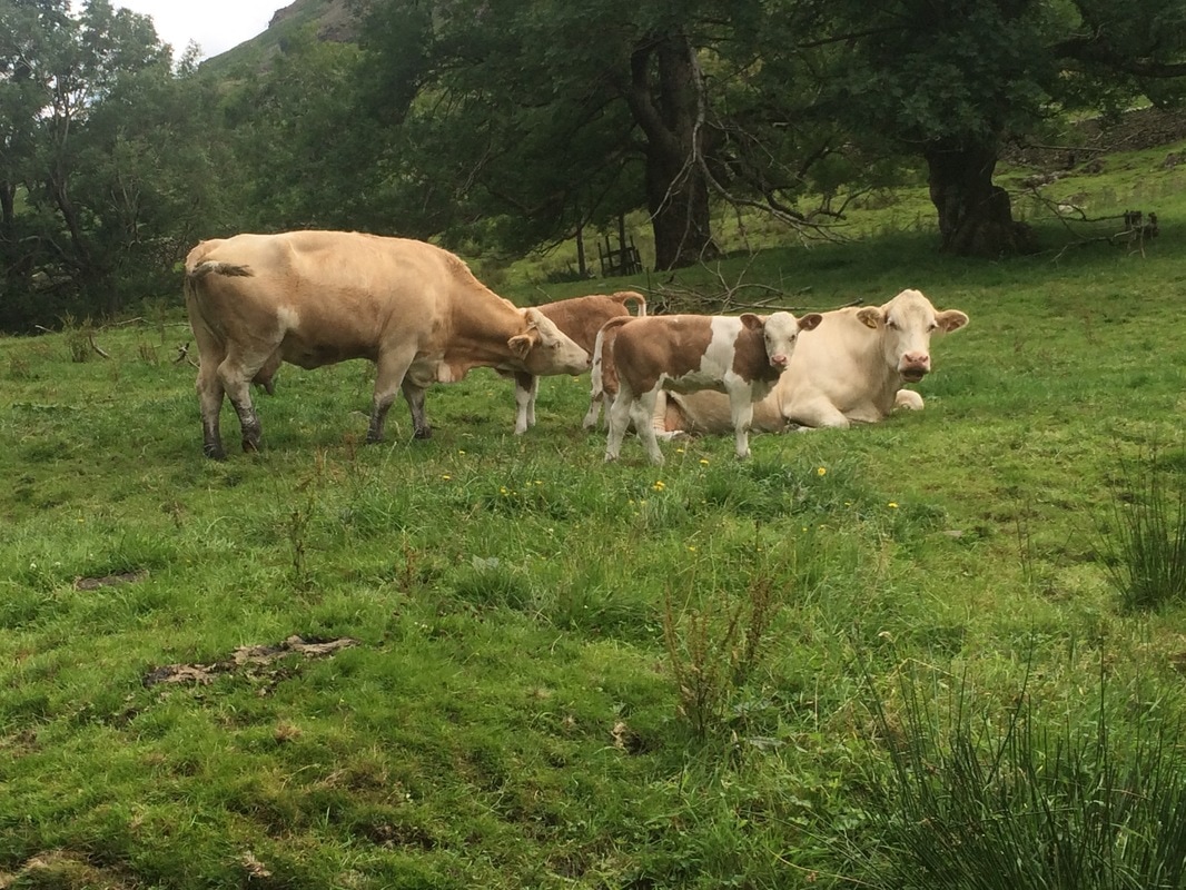
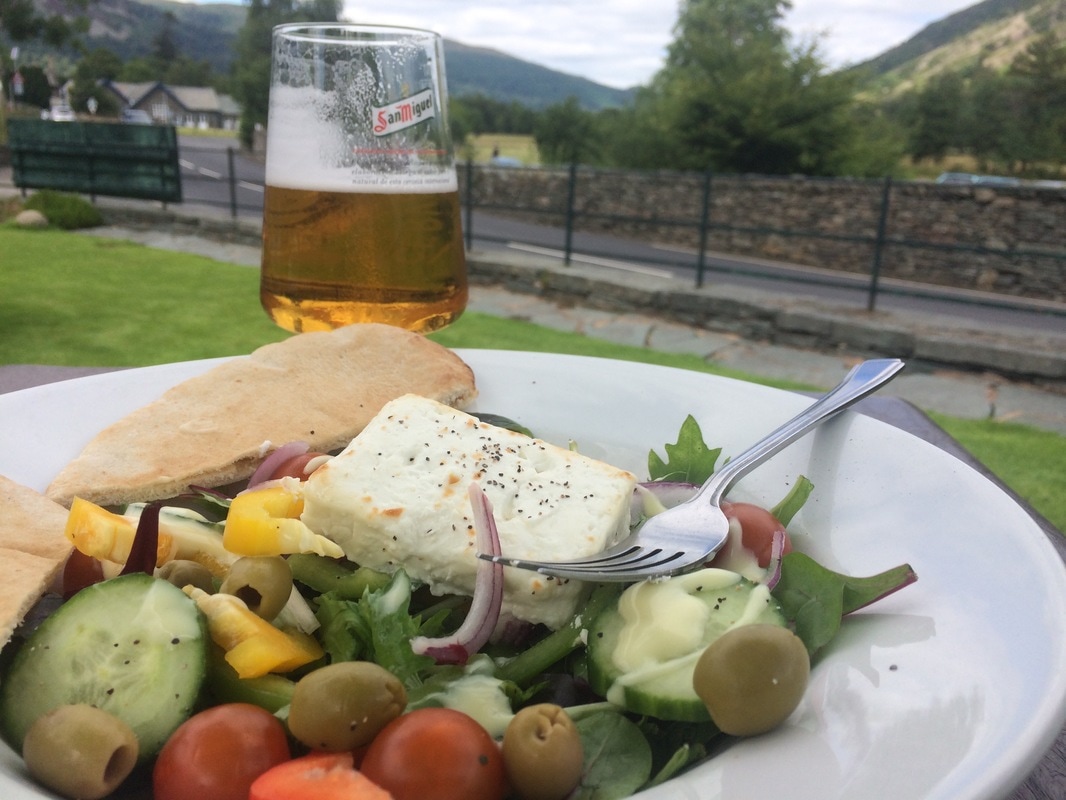
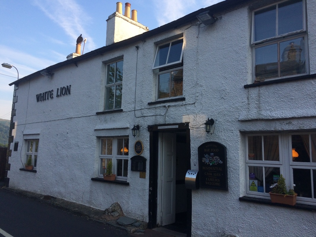
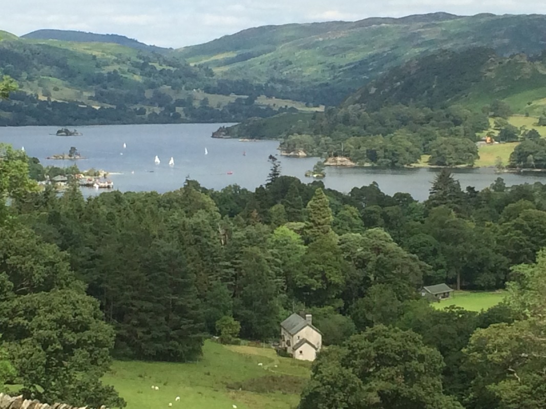
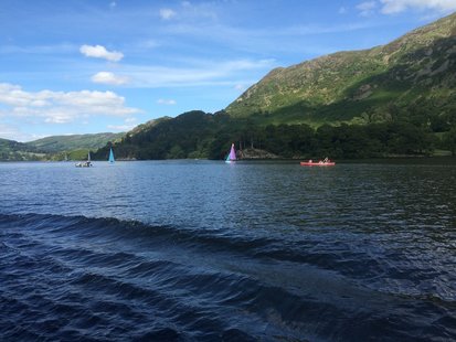
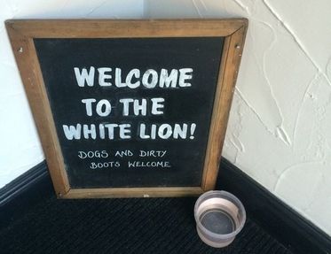
After playing hopscotch on some stepping stones we came to yet another stunning view across the valley we had to walk down. It was a long slow climb down on uneven, rocky paths. We peered up at the high routes we could have taken and did have a moment of 'should we have....' but we needed an easy day and the climb up and ensuing down, while short, weren't easy. If I did it again, I would do the St Sunday's Crag route just for the views. I'm not sure I'll ever be brave enough for the other option. Apparently Wainwright waxed lyrical about Striding Edge being the best bit of the whole walk, but Stedman's description put me off: 'The climb is arduous and, having reached the top, you then face a nerve-tingling drop on a crumbling slope above Red Tarn, followed by a knife edge walk along Striding Edge.' Nope. 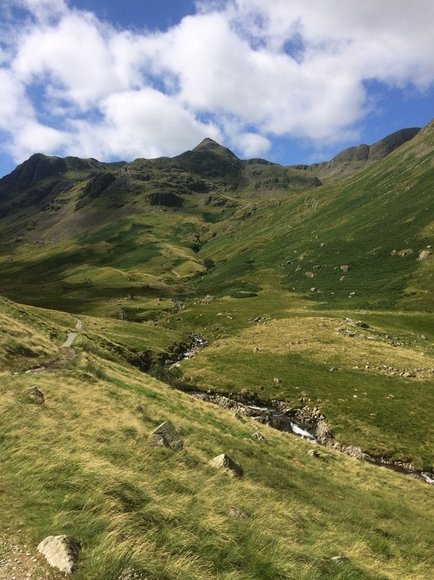 I think the pointy bit in the distance is Helvellyn Once we reached the valley floor, the rocks gave way to a nice soft path flanked by woods. Pretty cows greeted us and the phrase green and pleasant land sprand to mind. A final field led us into Patterdale. After just 4 hours 15 minutes of walking, we were done for the day. And it was only lunchtime! So that meant stopping at the Patterdale Hotel for a pint and salad (as you do) for lunch. Not sure quite what to do with all our free time, we walked on to Glenridding and caught the Ullswater ferry. For two and a half hours we simply sat, soaking up and sun, enjoying the views and mostly resting our feet. And we talked. About everything. That's the thing about a long distance walk. It gives you the chance to really connect. It's impossible to make small talk for that many hours a day, so you start to talk about deep topics, the stuff most of us never have time to think about, much less discuss, in our hurried lives. As the day was drawing to a close, we walked the final stretch to our home for the night - the White Lion Pub. The pub was a typical village pub with small rooms and big food portions, but across the road was the brilliant Patterdale Village Store, which has been put on this earth to serve walkers. It had everything you could need from blister pads to energy bars not to mention the famed Pork Rib sandwiches (which we sadly didn't try). But best of all was the noticeboard outside, which left encouraging messages from walkers who had met other walkers on route, telling them to hurry up or sending a cheery farewell. That board captured everything that is lovely about walking. Simple, honest, motivating and friendly. We got an early night as the book said the next day was the toughest of the trip....
On to day 5
Back to day 3 Back to day 1 How to plan for the Coast to Coast Want to walk the coast to coast? Join the Glamoraks community and find a walking buddy.
1 Comment
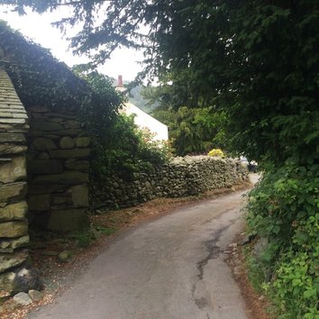
 Distance: 9 miles NOTE: Due to life getting in the way, I stopped writing the C2C blog posts after day 2. But I took plenty of notes, so I am returning to them, with a few details missing that have been lost in the mists of time. We woke up very stiff. The epic day before coupled with two-day-old stiffness from day 1 meant everything hurt, particularly my ankles. Walking to get breakfast proved painful, so the day's climb didn't fill me with joy. We couldn't face a full english for a third day, so after a light breakfast of toast and cereal, we headed out nice and early. It was a drizzly, grey start but stunningly beautiful lakeland scenery as we walked through Longthwaite, Rosthwaite and Stonethwaite - all of which make you sound as though you have a lisp when you say them.
We walked along a river that had a series of pretty waterfalls, with a gorgeous looking campsite on the opposite bank. As though to send us on our way, two military jets flew low overhead, performing a victory roll, before disappearing over the hills leaving us with just the sound the river again.
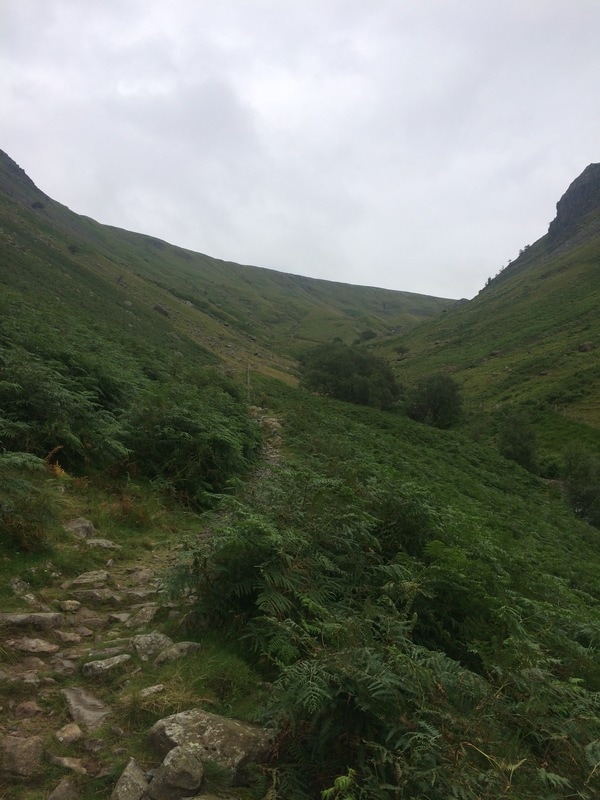
We knew we were heading for something called Eagle's Crag and the towering hill that loomed ahead of us let us know that we had yet another climb early in the day. The path got steeper and steeper, a never ending climb until we were well above Eagle's Crag and could look back down on it. We finally reached a strange little valley filled with drumlins. We aren't geography experts. Mr Stedman's guide book told us that we'd reach a valley of drumlins, which are weird hobbit-like grassy mounds. They are apparently created by glacial action. So there you are. Now you know what drumlins are. See the pictures below for an exciting visual reference.
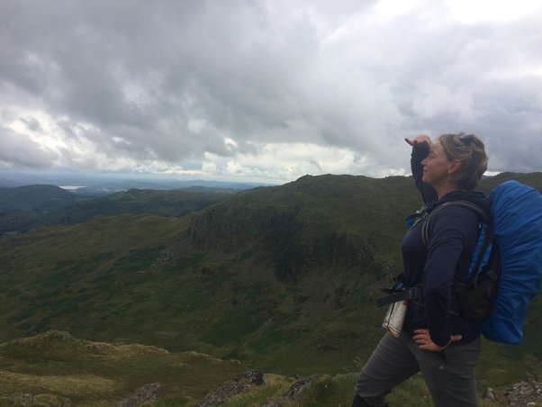
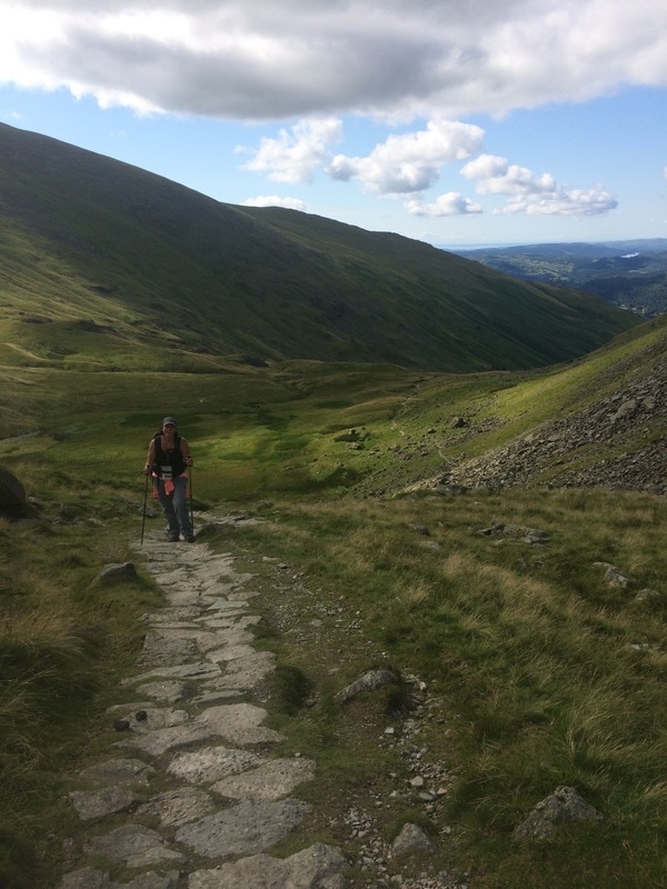
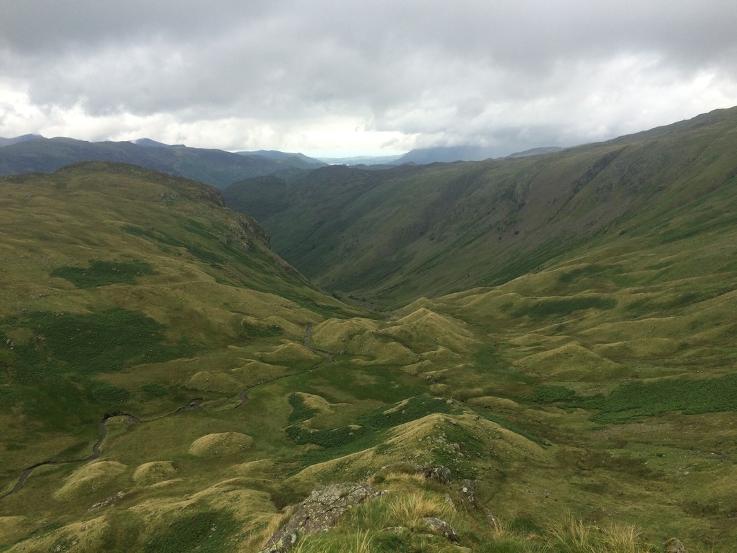
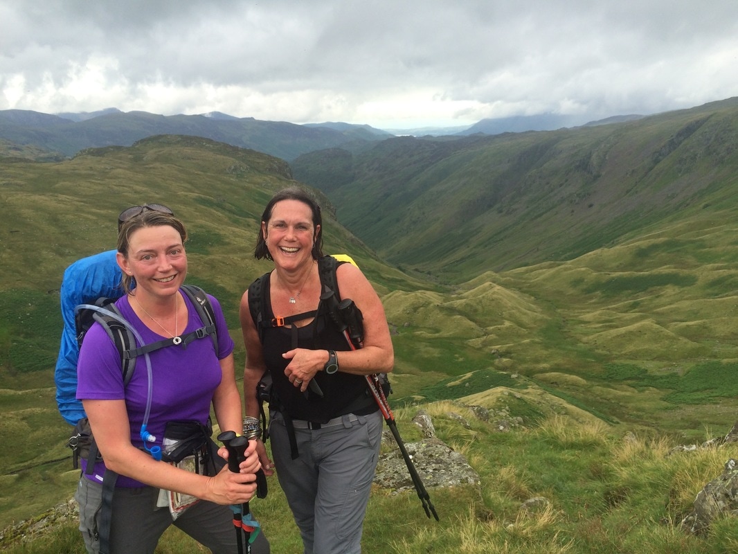
After a short breather, a snack of dried mango and a chat to a chap who was practically running the c2c on his own (fool) and after trying to spot England's highest peak - Scafell Pike - through the clouds, we headed further up. We had to put our poles away for this bit as it was so steep, it required hands to clamber up the boulders. Huffing and puffing we got to the top of Lining Cragg, where we got to admire the views some more and celebrate the fact that we could walk on the flat for a while. 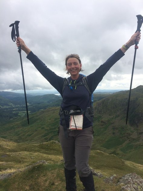 We proceeded across the boggy fells towards Greenup Edge. The book advised us that we may get lost here. And we would have, had we not followed some walkers ahead of us who seemed to know where they were going. A short, sharp downhill climb just to remind us that we had knees followed, before yet another up where we came to a junction. At this point we could choose the easier valley route down to Grasmere, or the high ridge. Feeling plucky, we chose the latter and stopped for our lunch on a rock called Calf's Crag, looking out across the ridge line we'd be following (below) to amazing views across the valley. Simply gorgeous. 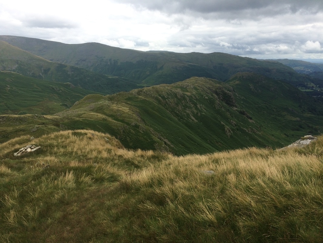 We headed off confidently in the wrong direction after lunch. It wasn't like we were blissfully unaware that we were going the wrong way. We just weren't sure which the correct path was. It was then we caught the dulcet tones of an Australian couple who said, 'Look, those gals are going the wrong way,' and they proceeded off on the right path. We felt this was terribly unsporting. After all, walking the coast to coast is not a competition and this lack of friendly walker's assistance pitted the South Africans against the Australians from thereon in. Our paths crossed repeatedly as our journey unfolded.... Safely on the right path we followed the ridge dotted with sheep. The views were stunning, but the walk was tiring with uneven, boggy ground and lots of ups and downs. And then the thing that most walkers dread happened. No. Not falling off a cliff. Needing to have a poo when you are miles from a toilet. What I am about to describe is probably going to fall into the category of too much information, but I feel these things need to be shared, should you ever find yourself in a similar situation. First tip: DO NOT EAT VEGETARIAN CHILLI THE NIGHT BEFORE A STRENUOUS WALK. Second tip: When the landscape is barren with few trees and only long grass and a few boulders for cover, get a friend to stand on Kaka Kaka duty. Kaka Kaka is the noise you make should someone approach your squatting position. It was invented by my son who decided it was a natural sounding noise, much like a bird so would fool fellow walkers. He wasn't aware that Kaka means shit in several languages. Apt. Third tip: Realise that vegetarian chilli looks exactly the same coming out as it does going in and will in no way be confused for sheep poo. Grab a large handfull of grass as camoflage. Absolutely no-one will be convinced but you'll feel slightly better about yourself. Fourth tip: Be sure not to be doing any of this near a walking path. Have tissues and a bag for the used tissue to hand so that you don't leave anything unnatural behind. (Other than the chilli....) 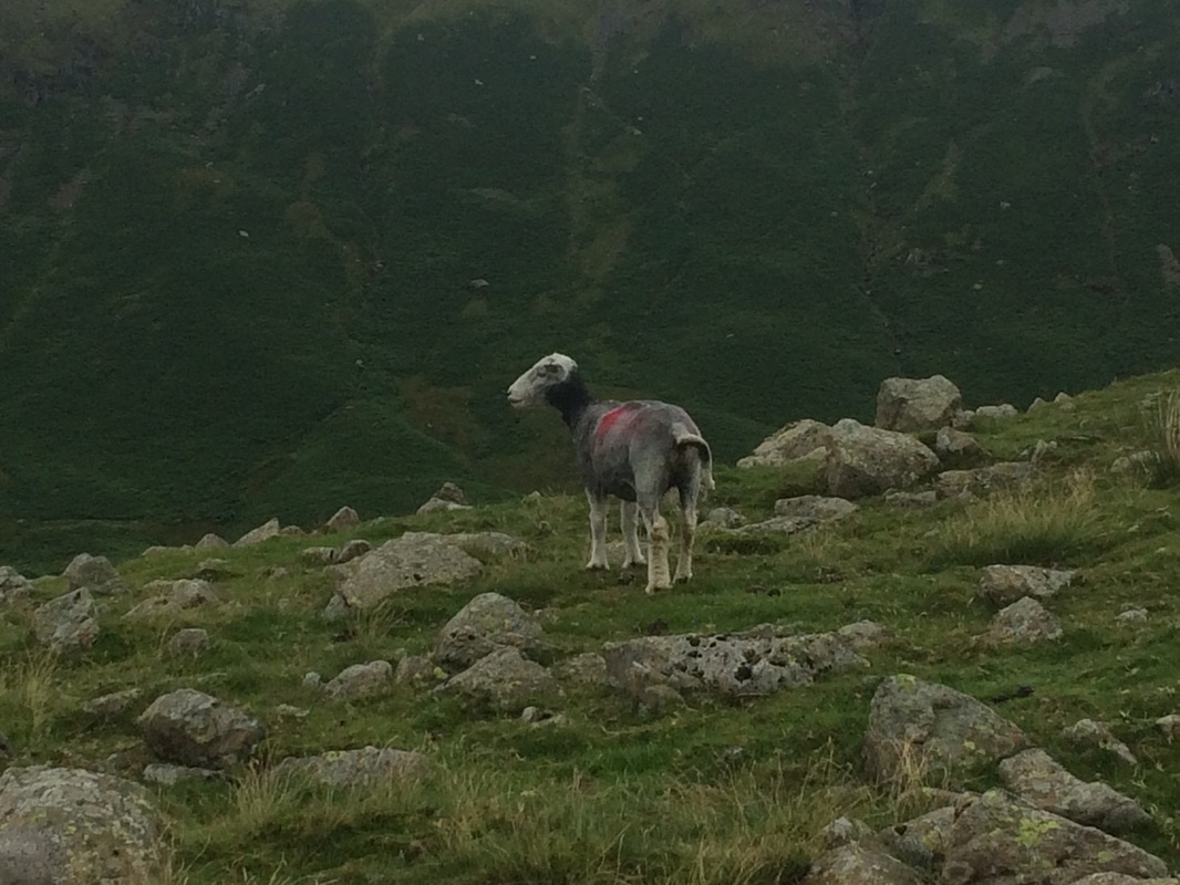 Sheep looking on in disdain Feeling suitably lighter we made our way along the ridge line, taking in Gibson's Knott. People traffic increased a lot as daytrippers from Grasmere made their way along the ridge for the spectacular views. Here is how Stedman describes it in the book: 'The ground is often saturated but the climbs up to the various summits take only a few minutes and give some great viewpoints down to Easedale Gill and Easedale Tarn glistening below. It's a long hard walk with rocky steps and bogs; allow at least 90 minutes from the gateposts to Lancrigg Woods. That is the price of surveying Castle, Lang and Silver Hows (hills) behind you and Helvellyn and Great Rigg beyond. By the time you reach Helm Cragg overlooking the following stage, the steep descent to the north-western outskirts of Grasmere may well finish you off!'
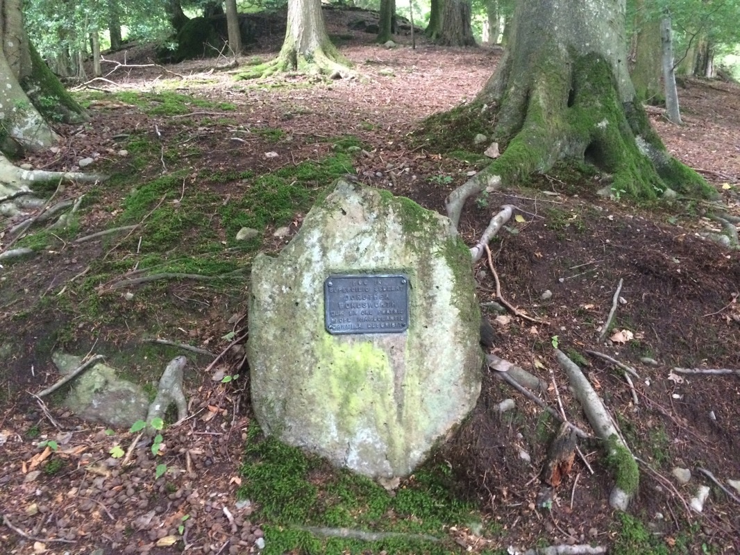
The man wasn't lying. We finally reached Helm's Cragg and took on the never ending descent to the woods at the bottom. Our knees by this point had had enough. When we finally got to the bottom though, we were rewarded with a beautiful walk through Lancriggs Woods along Poets Walk. This features a memorial to Wordsworth's sister Dorothy. What a lovely peaceful place.
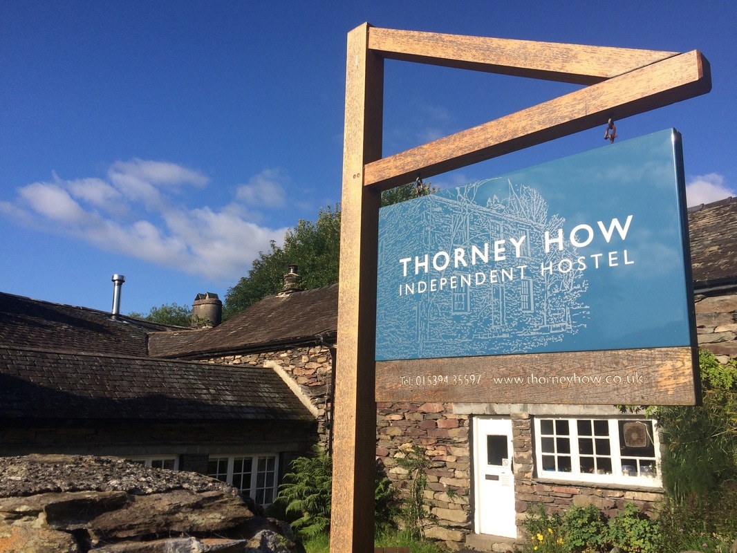
 Despite only being 9 miles, our feet were feeling it so when we stumbled into the beautiful gardens of the Lancrigg Hotel it seemed rude not to stop and have a nice cup of tea with a scone, jam and cream. Never underestimate the healing powers of a cream tea. 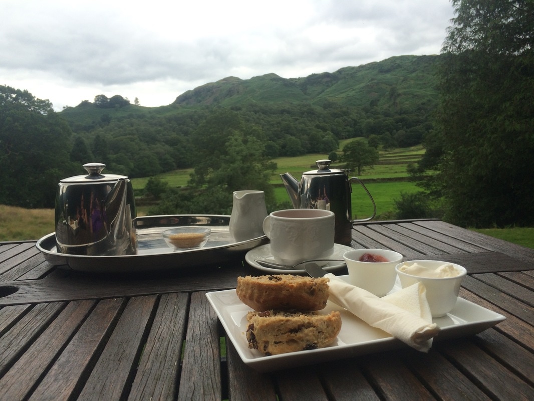 Feeling suitably revived, we had a wander through the pretty town of Grasmere and spent a small fortune on more hiking socks, browsed shops, found the Wordsworth Daffodil Garden and the Storytellers Garden. By which time it was absolutely time for a glass of wine, which we enjoyed on the outdoor terrace of a lovely spot called The Potting Shed. Finally we headed back to our hostel - Thorney How - an independent hostel with excellent boot facilities and top grub. Beef casserole for me, pork and leek pie for Lynda, sticky toffee pudding and a whole bunch more wine. Funnily enough we felt a bit sick by the end of it. We fell into bed, ready for day 4. On to day 4
Back to day 2 Back to day 1 How to plan for the Coast to Coast Want to walk the coast to coast? Join the Glamoraks community and find a walking buddy. |
Categories
All
Archives
July 2024
|


 RSS Feed
Get social. Follow us.
|
Don't get left out.
Add your email to be alerted about any Glamorak events, walks, get togethers, challenges or news.
Success! Now check your email to confirm your subscription.